Elevation of W Red Rock Rd, Hutchinson, KS, USA
Location: United States > Kansas > Reno County > Lincoln >
Longitude: -98.000137
Latitude: 37.9408828
Elevation: 472m / 1549feet
Barometric Pressure: 96KPa
Elevation Map:
Satellite Map:
Related Photos:

Rare View of SR-71 Blackbird in Cosmosphere Lobby
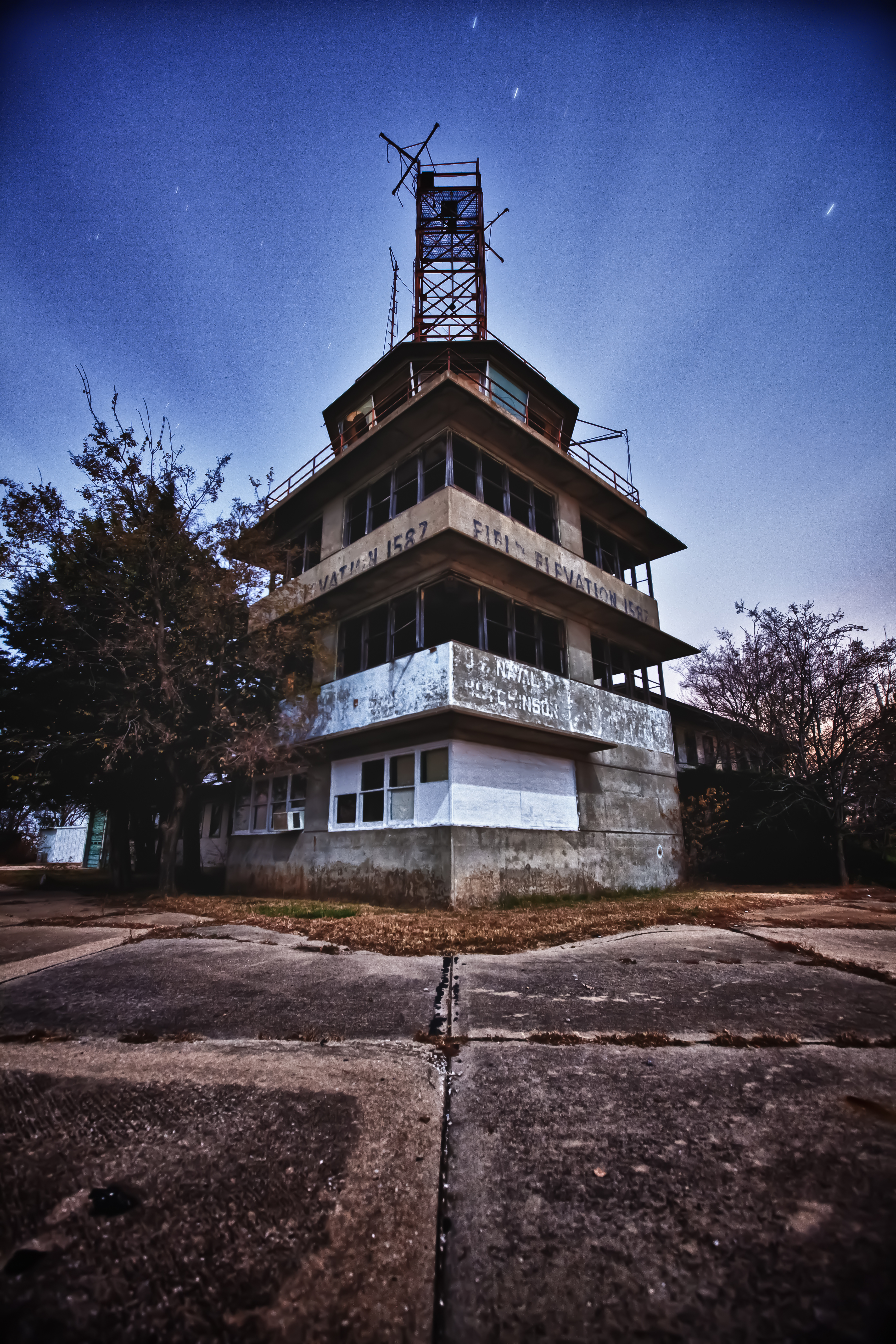
Naval Airbase in Kansas?

Blackbird Cockpit and Engine Nacelle

Rescue Handle and Fuselage Skin on SR-71
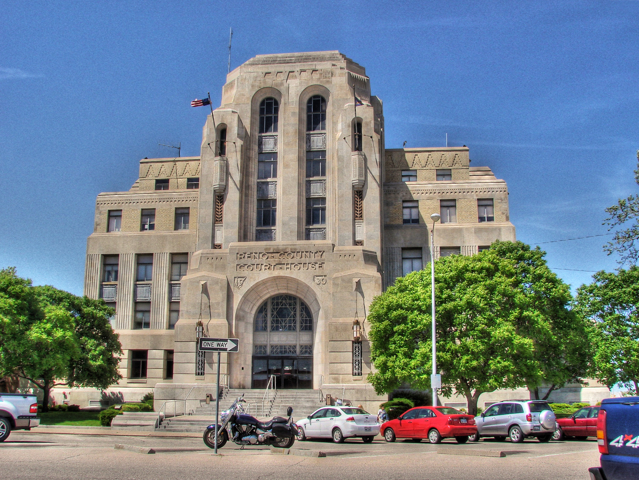
Reno County Court House
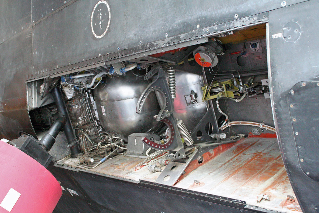
SR-71 Nose Gear Bay

Fisheye view of SR-71 Blackbird at Cosmosphere

Detail B&W

22 (6)
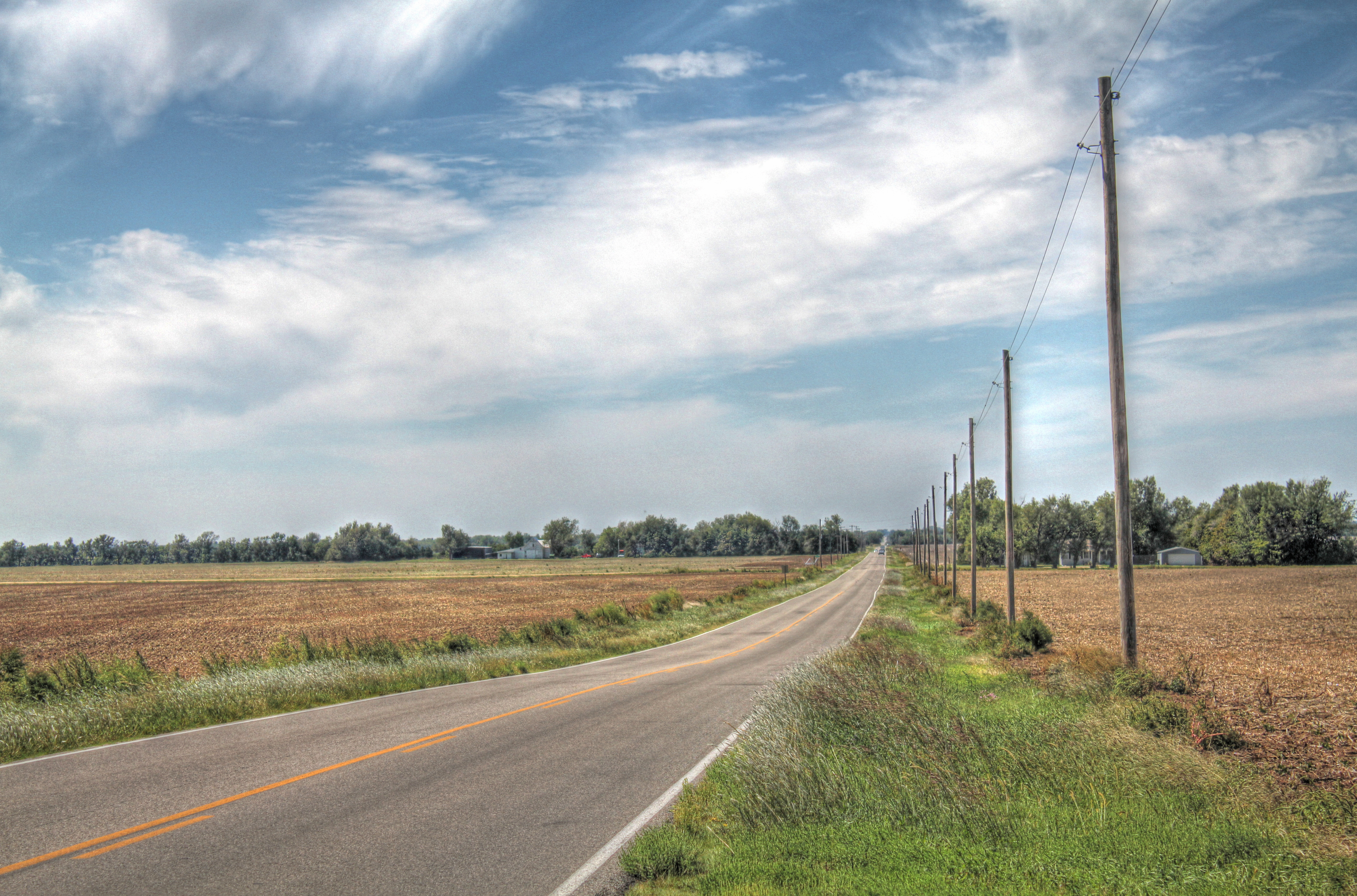
Kansas Highway
Hobart-Detter Field
Topographic Map of W Red Rock Rd, Hutchinson, KS, USA
Find elevation by address:

Places near W Red Rock Rd, Hutchinson, KS, USA:
Lincoln
Reno County
W Red Rock Rd, Hutchinson, KS, USA
S Main St, Partridge, KS, USA
Partridge
Yoder
Lawrence St, Yoder, KS, USA
Yoder
W Main St, Arlington, KS, USA
Arlington
312 S Elm St
Westminster
Arlington
Plevna
Langdon
N Main St, Kingman, KS, USA
Kingman
Bell
W Pretty Prairie Rd, Turon, KS, USA
E Maple Grove Rd, Mt Hope, KS, USA
Recent Searches:
- Elevation of Corso Fratelli Cairoli, 35, Macerata MC, Italy
- Elevation of Tallevast Rd, Sarasota, FL, USA
- Elevation of 4th St E, Sonoma, CA, USA
- Elevation of Black Hollow Rd, Pennsdale, PA, USA
- Elevation of Oakland Ave, Williamsport, PA, USA
- Elevation of Pedrógão Grande, Portugal
- Elevation of Klee Dr, Martinsburg, WV, USA
- Elevation of Via Roma, Pieranica CR, Italy
- Elevation of Tavkvetili Mountain, Georgia
- Elevation of Hartfords Bluff Cir, Mt Pleasant, SC, USA