Elevation of W Main St, Arlington, KS, USA
Location: United States > Kansas > Reno County > Arlington > Arlington >
Longitude: -98.1782
Latitude: 37.8968
Elevation: 487m / 1598feet
Barometric Pressure: 96KPa
Elevation Map:
Satellite Map:
Related Photos:

22 (6)

UP in Kansas
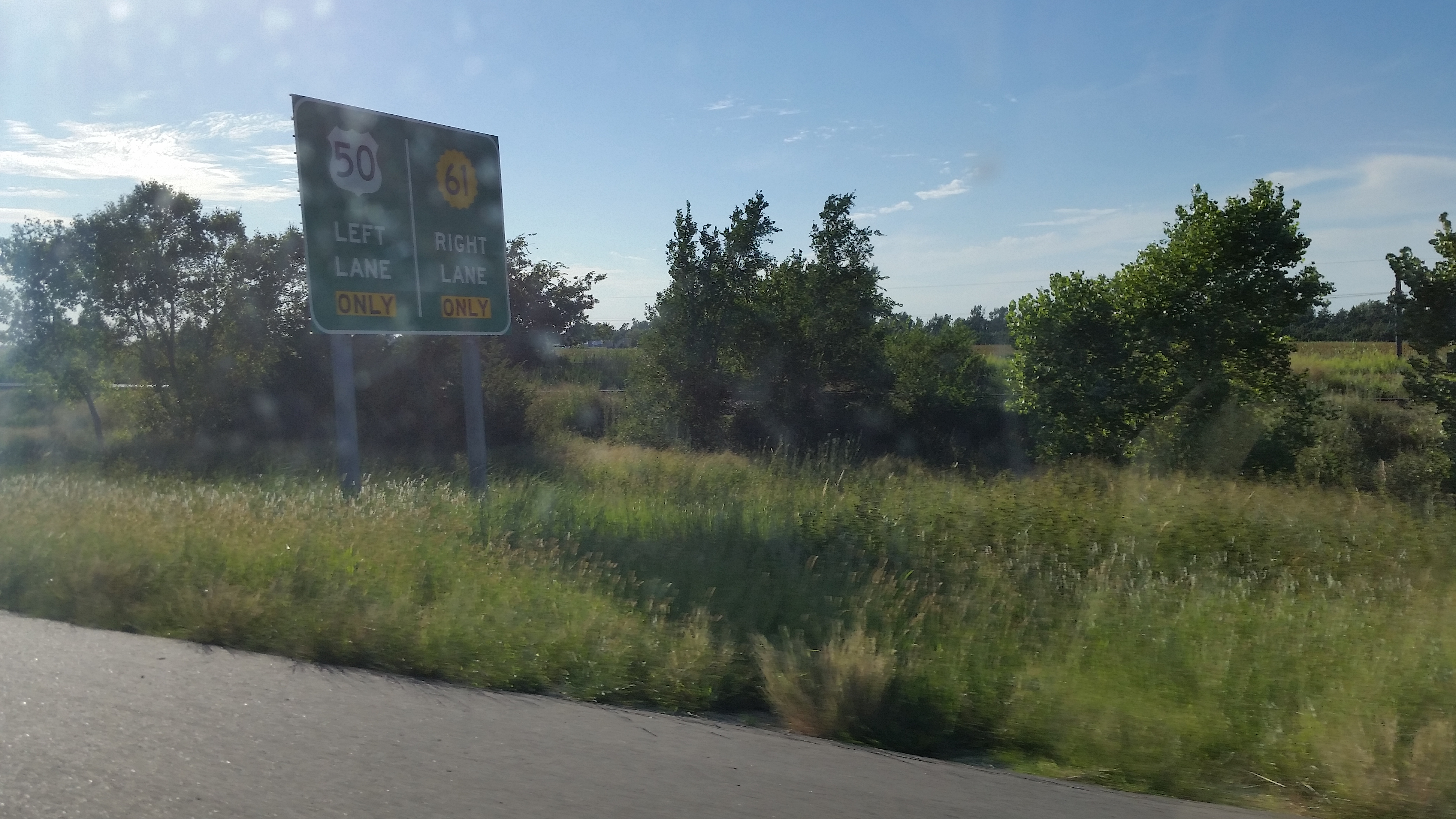
Diverging Routes

UP 2563 West, E.E. Janet

BNSF 6989 West

UP 5012 West

UP 6838 East, MP 265
Topographic Map of W Main St, Arlington, KS, USA
Find elevation by address:

Places near W Main St, Arlington, KS, USA:
Arlington
312 S Elm St
Arlington
Westminster
Langdon
Partridge
S Main St, Partridge, KS, USA
Plevna
Reno County
Bell
6 N Front St, Langdon, KS, USA
Langdon
W Pretty Prairie Rd, Turon, KS, USA
4406 W Red Rock Rd
Lincoln
W Red Rock Rd, Hutchinson, KS, USA
S Main St, Sylvia, KS, USA
Sylvia
Sylvia
Kingman
Recent Searches:
- Elevation of Corso Fratelli Cairoli, 35, Macerata MC, Italy
- Elevation of Tallevast Rd, Sarasota, FL, USA
- Elevation of 4th St E, Sonoma, CA, USA
- Elevation of Black Hollow Rd, Pennsdale, PA, USA
- Elevation of Oakland Ave, Williamsport, PA, USA
- Elevation of Pedrógão Grande, Portugal
- Elevation of Klee Dr, Martinsburg, WV, USA
- Elevation of Via Roma, Pieranica CR, Italy
- Elevation of Tavkvetili Mountain, Georgia
- Elevation of Hartfords Bluff Cir, Mt Pleasant, SC, USA