Elevation of Reno County, KS, USA
Location: United States > Kansas >
Longitude: -98.046518
Latitude: 37.9569553
Elevation: 482m / 1581feet
Barometric Pressure: 96KPa
Elevation Map:
Satellite Map:
Related Photos:
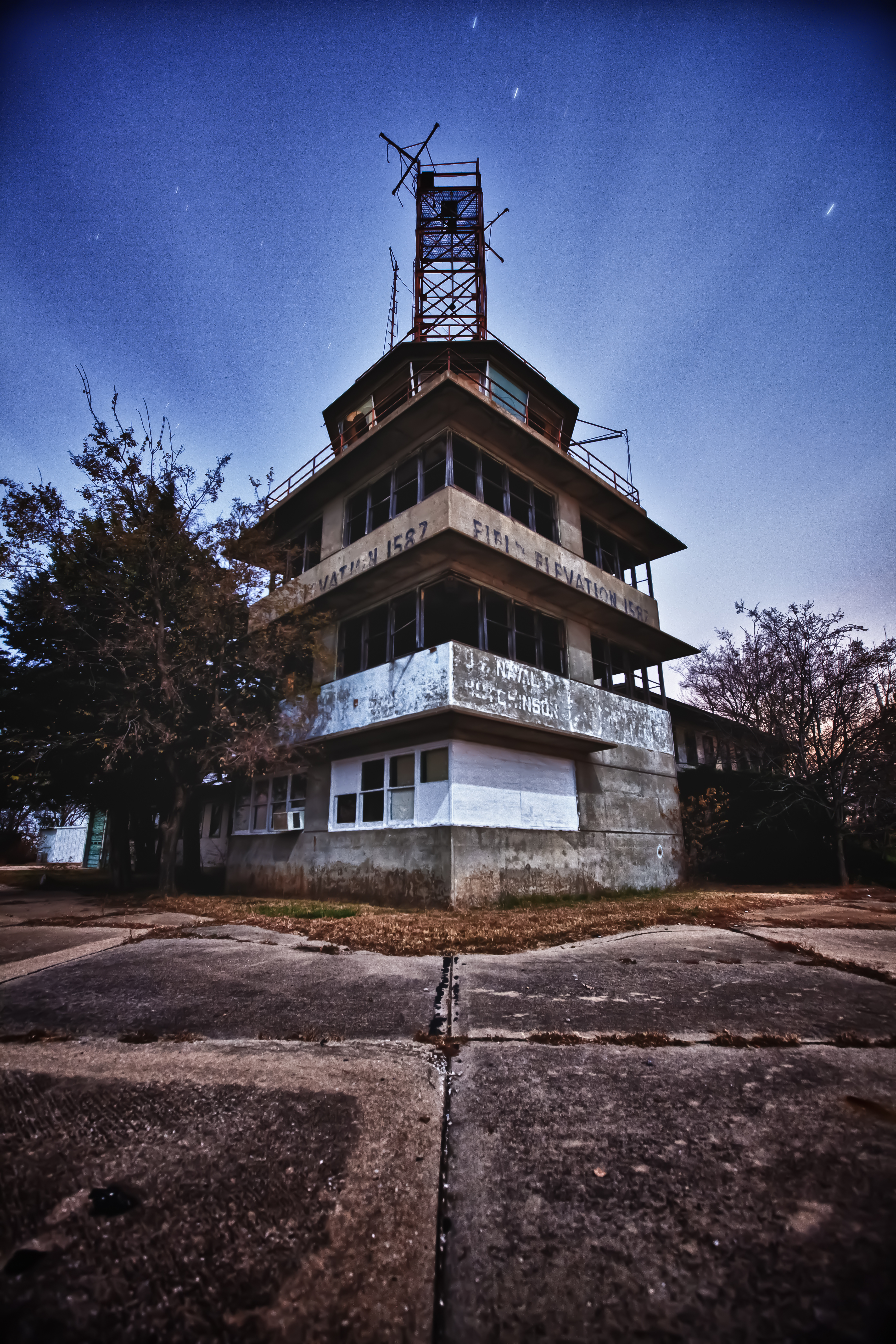
Naval Airbase in Kansas?
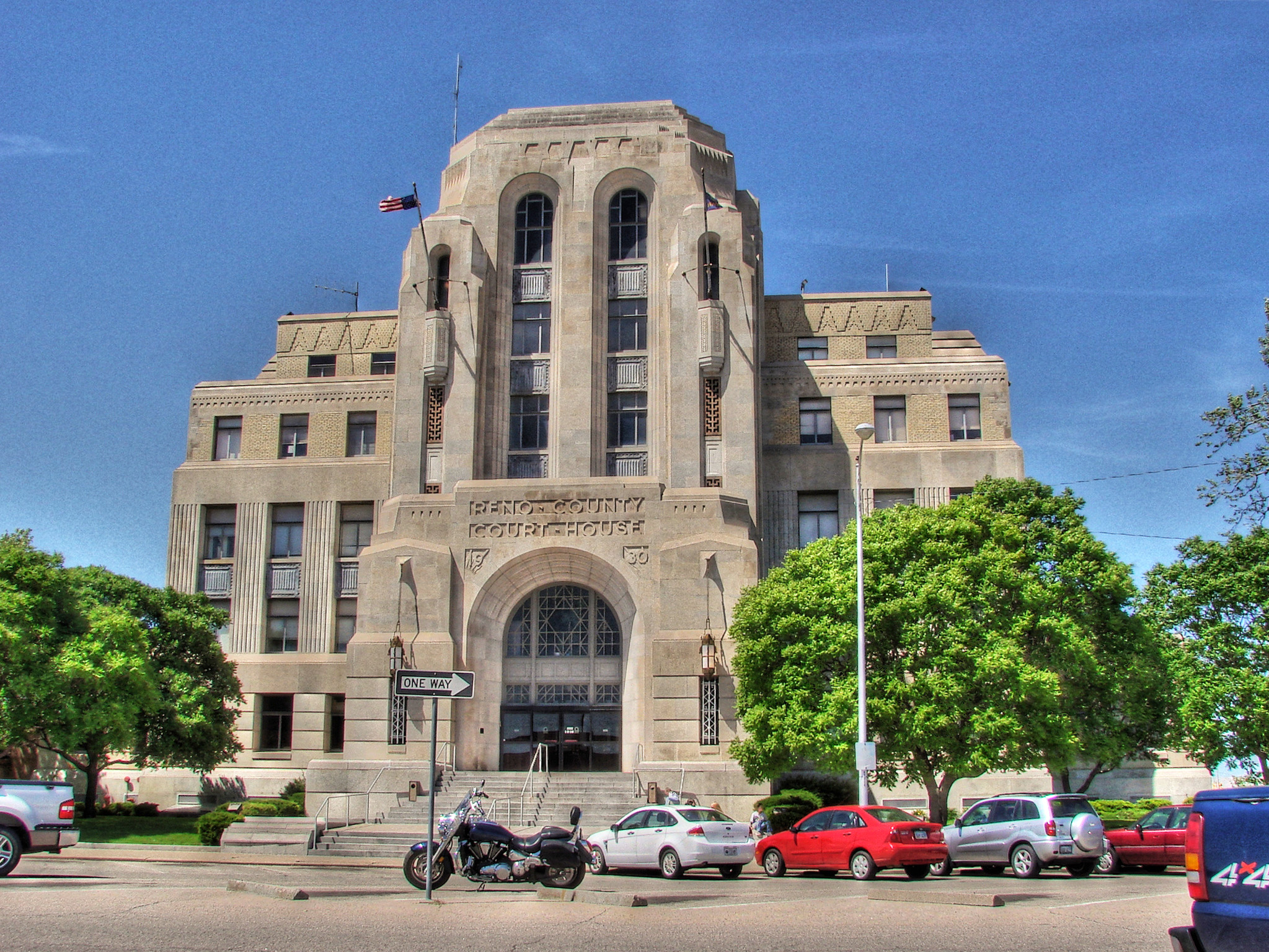
Reno County Court House

Detail B&W

22 (6)
Kansas Highway
Hobart-Detter Field

Booking Agent #33: Jack in a Box & Blue Bird - Hutchinson, Kansas

Lapland Longspur among Henbit

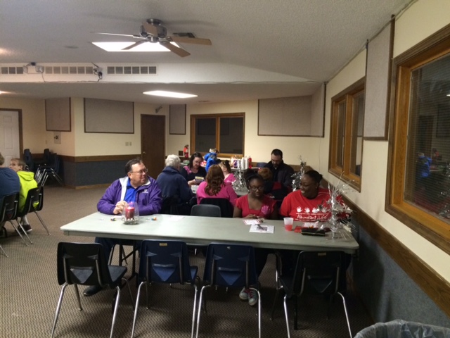
Reno Holiday Party 2015 (5)

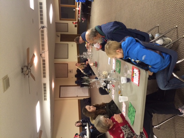
Reno Holiday Party 2015 (2)

Reno Holiday Party 2015 (4)

Reno Holiday Party 2015 (3)

Reno Holiday Party 2015 (1)

Reno Holiday Party 2015 (8)

Reno Holiday Party 2015 (9)

Reno Holiday Party 2015 (7)

Reno Holiday Party 2015 (10)

Reno Holiday Party 2015 (6)

Reno Holiday Party 2015 (14)

Reno Holiday Party 2015 (13)
Reno Holiday Party 2015 (15)

Reno Holiday Party 2015 (11)

Reno Holiday Party 2015 (12)

Reno Holiday Party 2015 (19)

Reno Holiday Party 2015 (18)

Reno Holiday Party 2015 (17)
Reno Holiday Party 2015 (16)
Topographic Map of Reno County, KS, USA
Find elevation by address:

Places in Reno County, KS, USA:
Lincoln
Grant
Bell
Little River
Arlington
Walnut
Langdon
Medford
Nickerson
Center
Plevna
Reno
Sylvia
Miami
Yoder
E Maple Grove Rd, Mt Hope, KS, USA
Hutchinson
Westminster
Medora
Places near Reno County, KS, USA:
S Main St, Partridge, KS, USA
Partridge
4406 W Red Rock Rd
Lincoln
W Red Rock Rd, Hutchinson, KS, USA
W Main St, Arlington, KS, USA
Arlington
312 S Elm St
Westminster
Arlington
Yoder
Lawrence St, Yoder, KS, USA
Yoder
Plevna
Langdon
Bell
6 N Front St, Langdon, KS, USA
W Pretty Prairie Rd, Turon, KS, USA
Langdon
Kingman
Recent Searches:
- Elevation of Corso Fratelli Cairoli, 35, Macerata MC, Italy
- Elevation of Tallevast Rd, Sarasota, FL, USA
- Elevation of 4th St E, Sonoma, CA, USA
- Elevation of Black Hollow Rd, Pennsdale, PA, USA
- Elevation of Oakland Ave, Williamsport, PA, USA
- Elevation of Pedrógão Grande, Portugal
- Elevation of Klee Dr, Martinsburg, WV, USA
- Elevation of Via Roma, Pieranica CR, Italy
- Elevation of Tavkvetili Mountain, Georgia
- Elevation of Hartfords Bluff Cir, Mt Pleasant, SC, USA