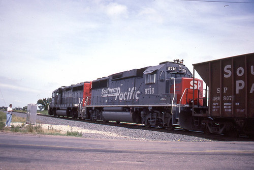
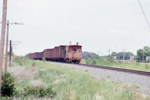
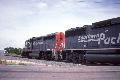
Elevation of W Pretty Prairie Rd, Turon, KS, USA
Location: United States > Kansas > Reno County > Bell >
Longitude: -98.281899
Latitude: 37.7767
Elevation: 509m / 1670feet
Barometric Pressure: 95KPa
Related Photos:
Topographic Map of W Pretty Prairie Rd, Turon, KS, USA
Find elevation by address:

Places near W Pretty Prairie Rd, Turon, KS, USA:
Bell
6 N Front St, Langdon, KS, USA
Langdon
Langdon
Arlington
Miami
N Main St, Turon, KS, USA
Turon
312 S Elm St
Arlington
W Main St, Arlington, KS, USA
Kingman County
Plevna
S Wilmot St, Cunningham, KS, USA
Cunningham
Westminster
Rural
Kingman
N Main St, Kingman, KS, USA
S Main St, Sylvia, KS, USA
Recent Searches:
- Elevation of Corso Fratelli Cairoli, 35, Macerata MC, Italy
- Elevation of Tallevast Rd, Sarasota, FL, USA
- Elevation of 4th St E, Sonoma, CA, USA
- Elevation of Black Hollow Rd, Pennsdale, PA, USA
- Elevation of Oakland Ave, Williamsport, PA, USA
- Elevation of Pedrógão Grande, Portugal
- Elevation of Klee Dr, Martinsburg, WV, USA
- Elevation of Via Roma, Pieranica CR, Italy
- Elevation of Tavkvetili Mountain, Georgia
- Elevation of Hartfords Bluff Cir, Mt Pleasant, SC, USA
