Elevation of S Elm St, Arlington, KS, USA
Location: United States > Kansas > Reno County > Arlington > Arlington >
Longitude: -98.1861
Latitude: 37.8937
Elevation: 496m / 1627feet
Barometric Pressure: 96KPa
Elevation Map:
Satellite Map:
Related Photos:

22 (6)
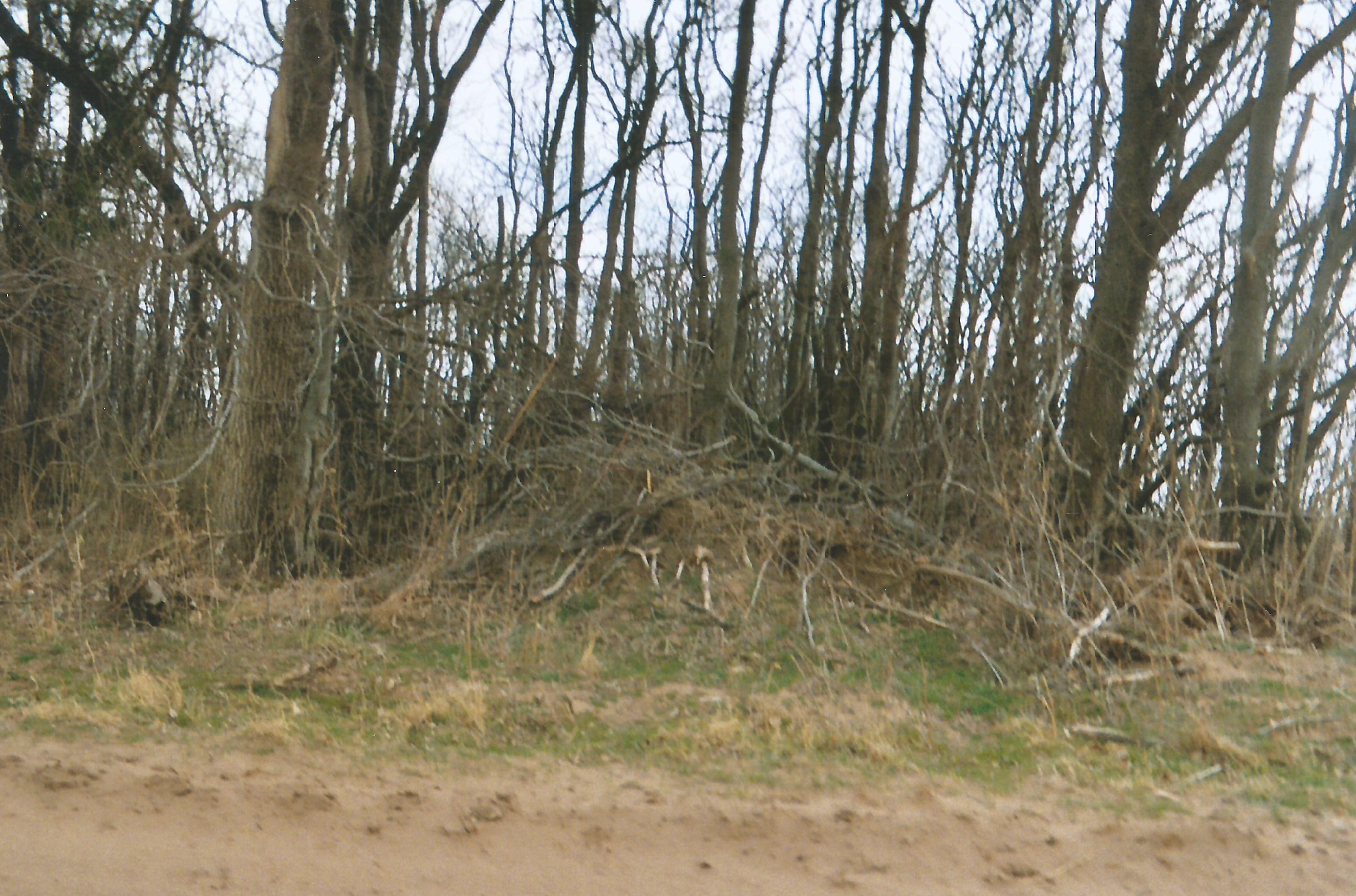
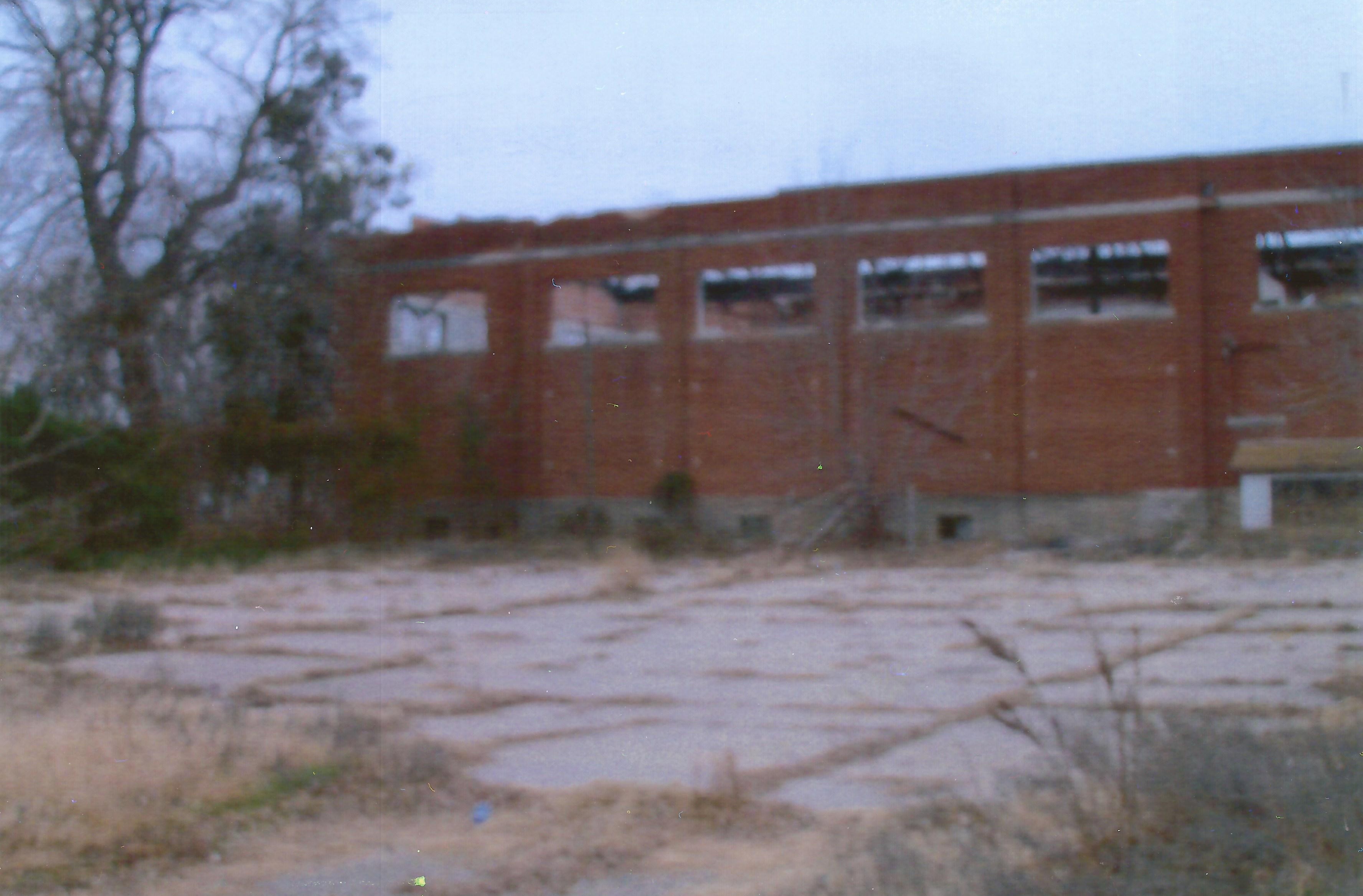
2. The Ghost Town is covered in overgrowth, and there are some concrete remnants in there, Lerado, 3-19-09
Langdon, Kansas
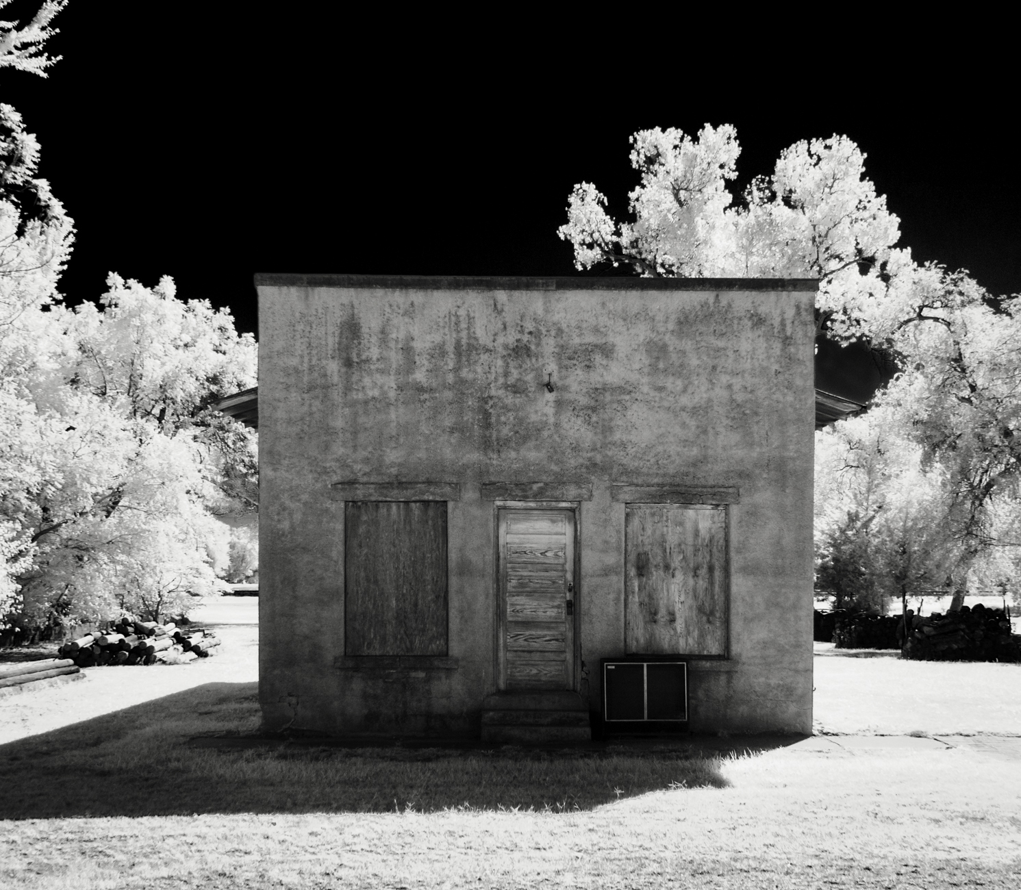
Lerado Mercantile
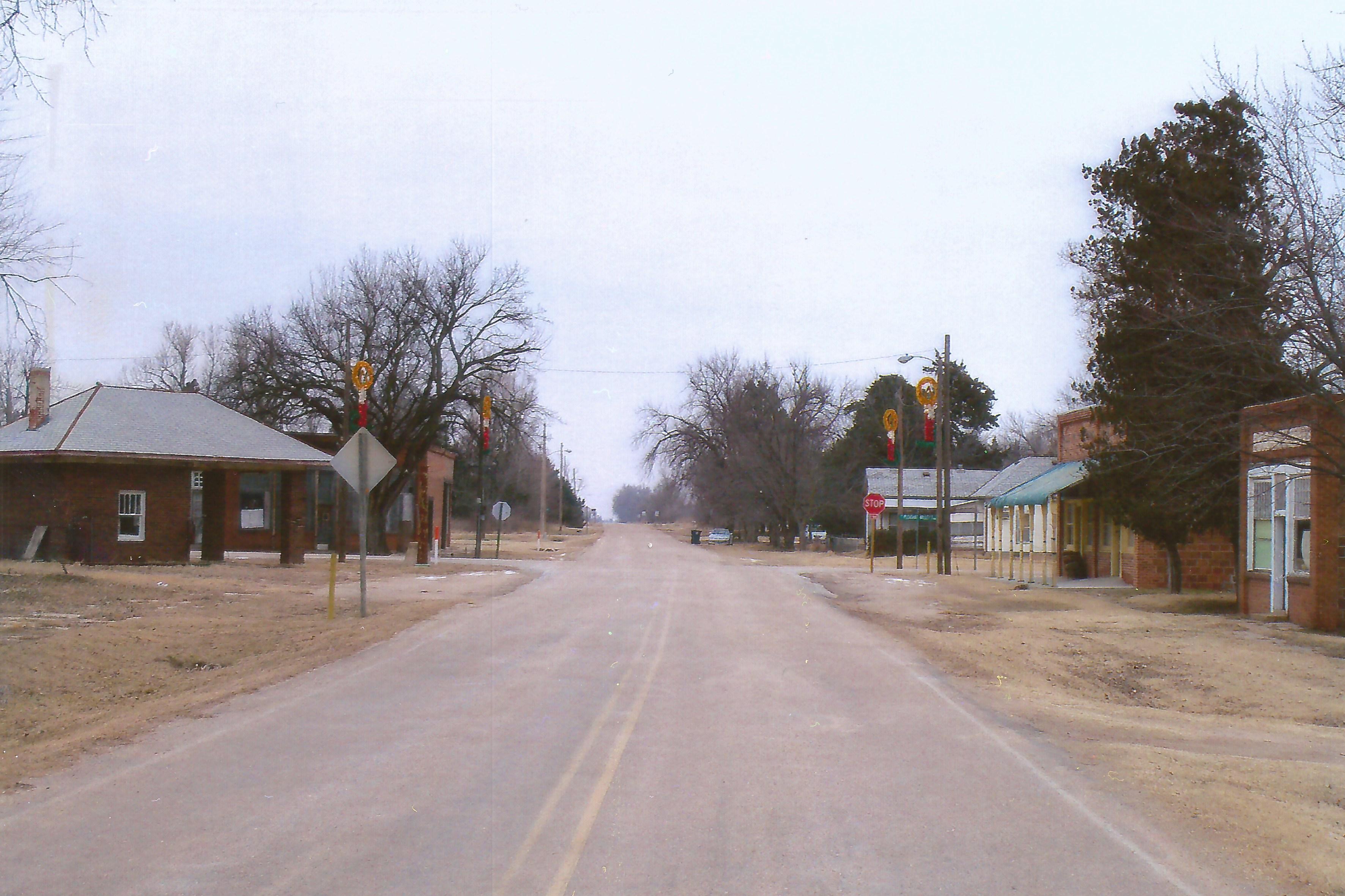
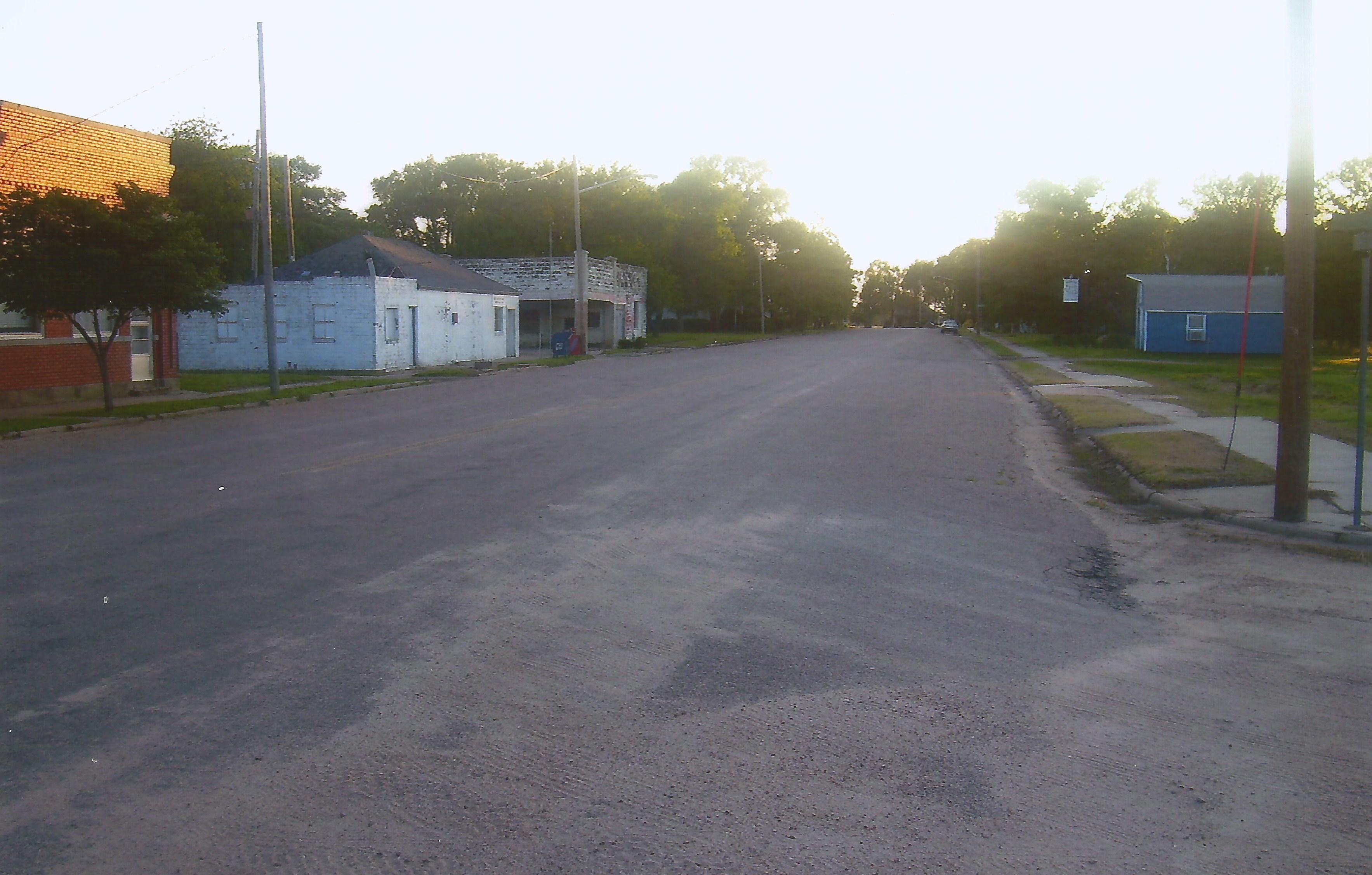
16. Downtown Langdon, a Reno County Ghost Town, Langdon, 1-1-10
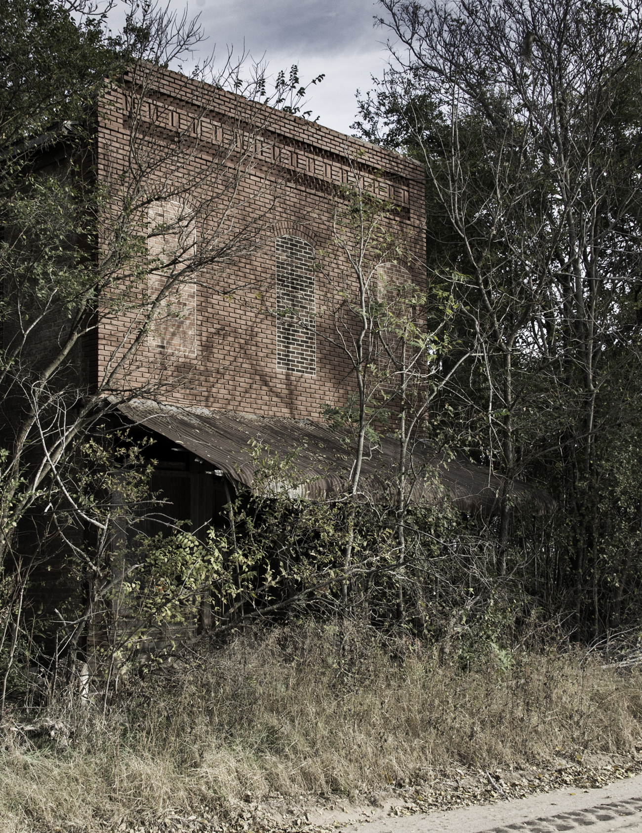
21. Next to the school, the old auditorium is in even worse shape, as it's lost its roof, Langdon, 1-1-10
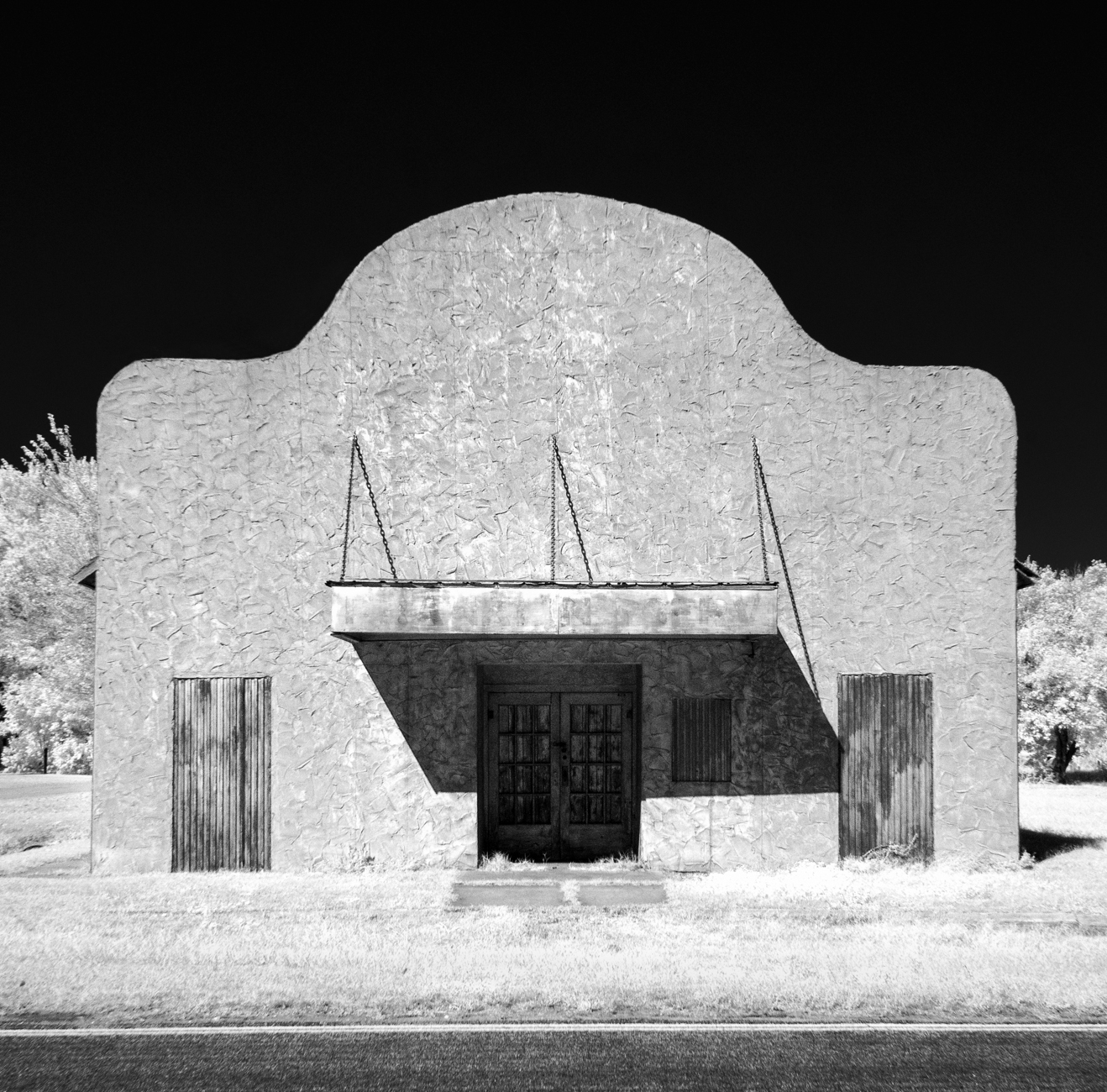
Langdon Theater

BNSF 6989 West

UP in Kansas
Diverging Routes

UP 2563 West, E.E. Janet

UP 6838 East, MP 265
56. Downtown Plevna, a little place in western Reno County, Plevna, 6-2-07
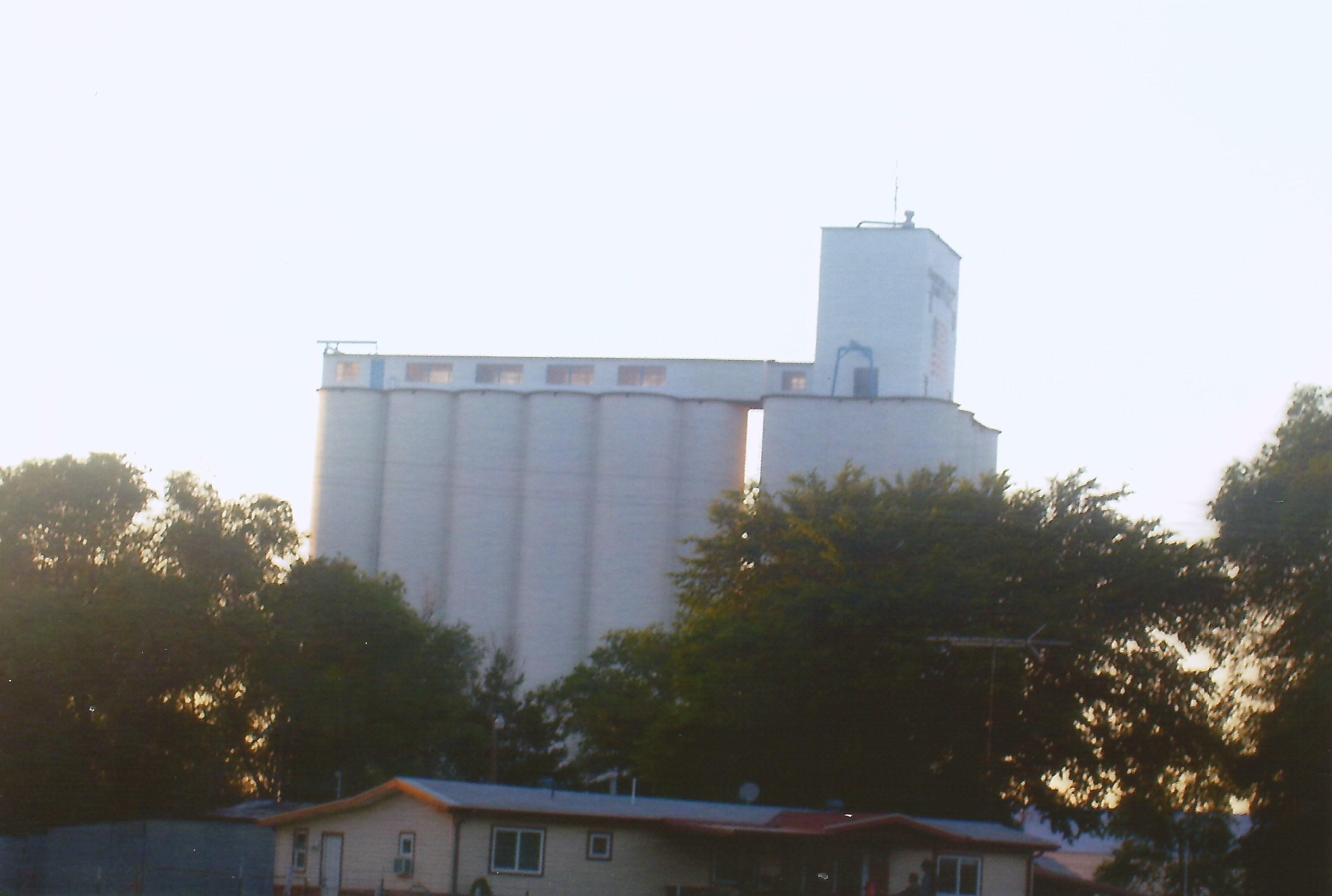
61. Their looming grain elevator, Abbyville, 6-2-07
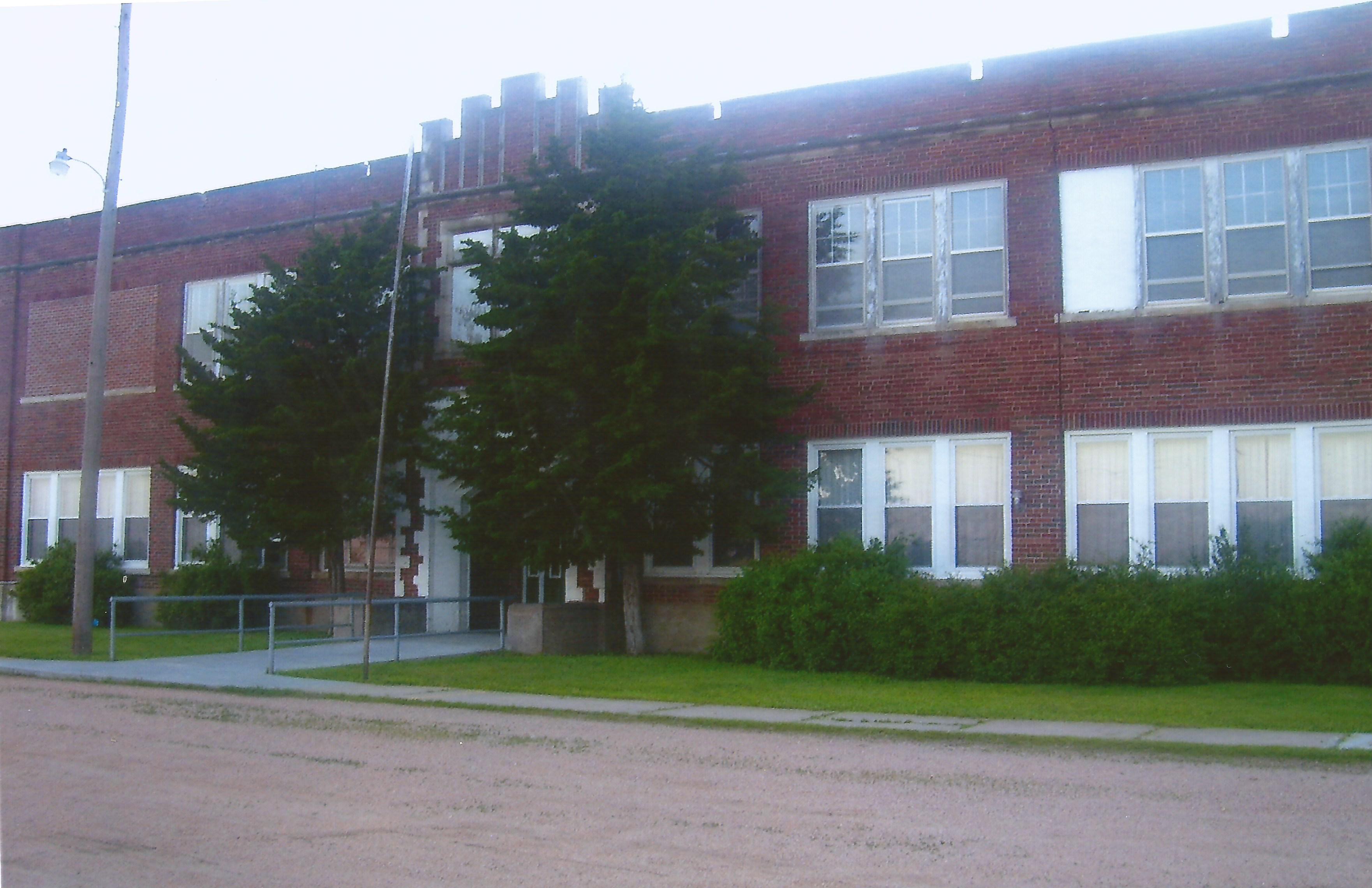
63. Their big high school building, still in use! Abbyville, 6-2-07
Topographic Map of S Elm St, Arlington, KS, USA
Find elevation by address:

Places near S Elm St, Arlington, KS, USA:
Arlington
W Main St, Arlington, KS, USA
Arlington
Westminster
Langdon
Partridge
S Main St, Partridge, KS, USA
Plevna
Bell
6 N Front St, Langdon, KS, USA
Langdon
W Pretty Prairie Rd, Turon, KS, USA
Reno County
4406 W Red Rock Rd
Lincoln
S Main St, Sylvia, KS, USA
Sylvia
Sylvia
W Red Rock Rd, Hutchinson, KS, USA
N Main St, Turon, KS, USA
Recent Searches:
- Elevation of Corso Fratelli Cairoli, 35, Macerata MC, Italy
- Elevation of Tallevast Rd, Sarasota, FL, USA
- Elevation of 4th St E, Sonoma, CA, USA
- Elevation of Black Hollow Rd, Pennsdale, PA, USA
- Elevation of Oakland Ave, Williamsport, PA, USA
- Elevation of Pedrógão Grande, Portugal
- Elevation of Klee Dr, Martinsburg, WV, USA
- Elevation of Via Roma, Pieranica CR, Italy
- Elevation of Tavkvetili Mountain, Georgia
- Elevation of Hartfords Bluff Cir, Mt Pleasant, SC, USA