Elevation of Arlington, KS, USA
Location: United States > Kansas > Reno County >
Longitude: -98.199427
Latitude: 37.8831806
Elevation: 496m / 1627feet
Barometric Pressure: 96KPa
Elevation Map:
Satellite Map:
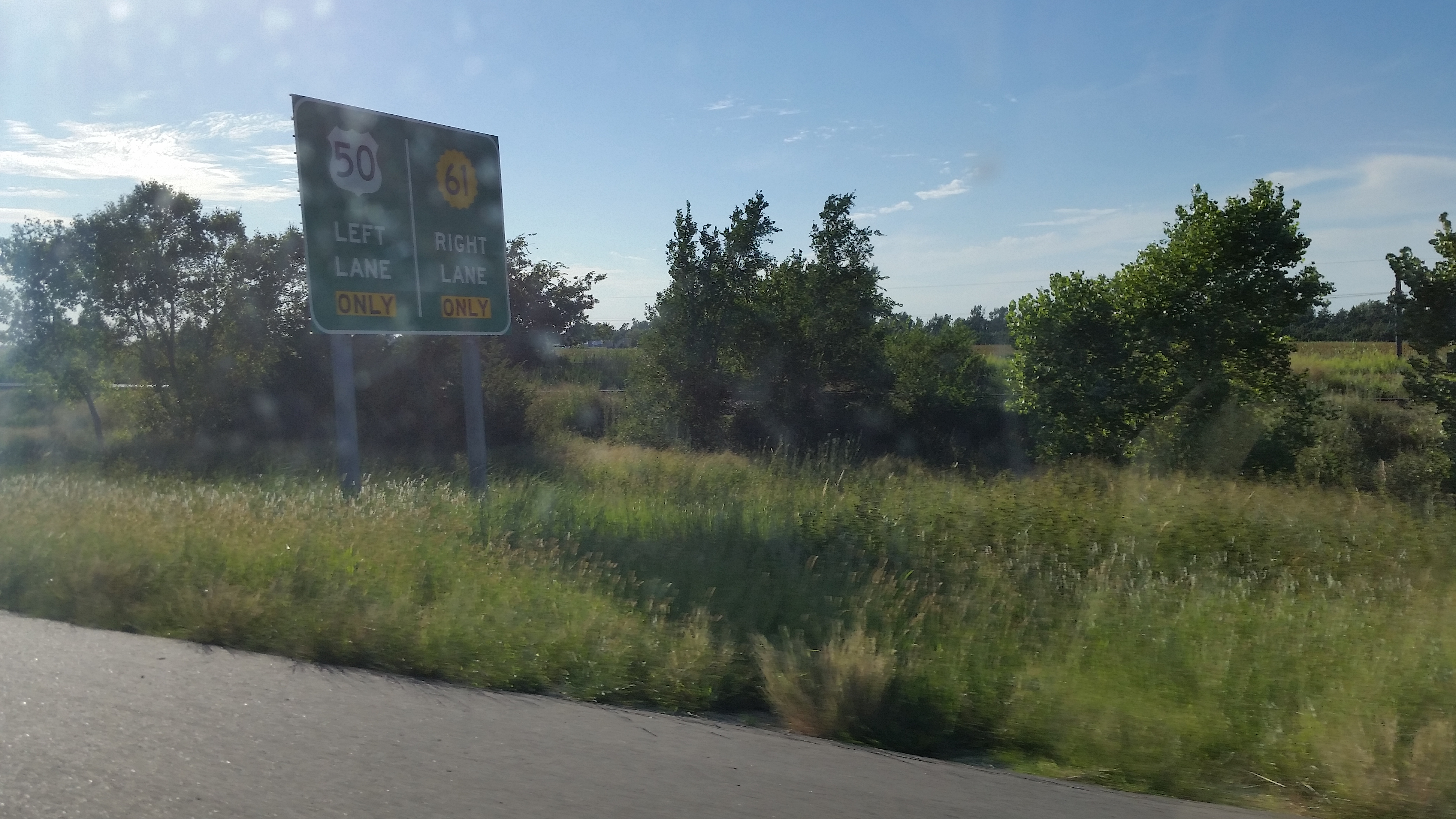
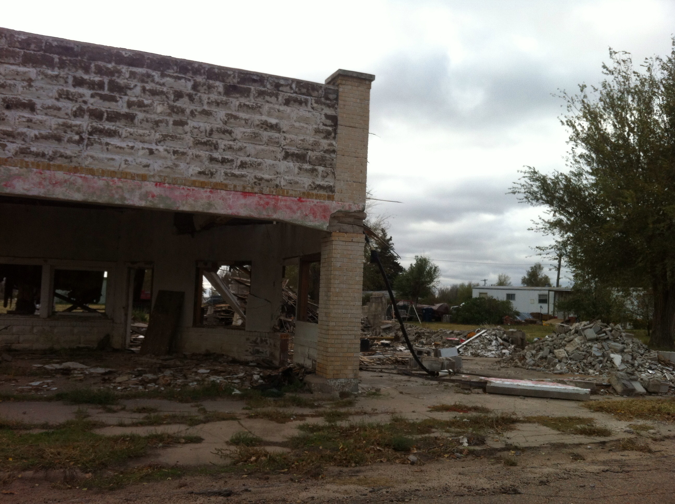
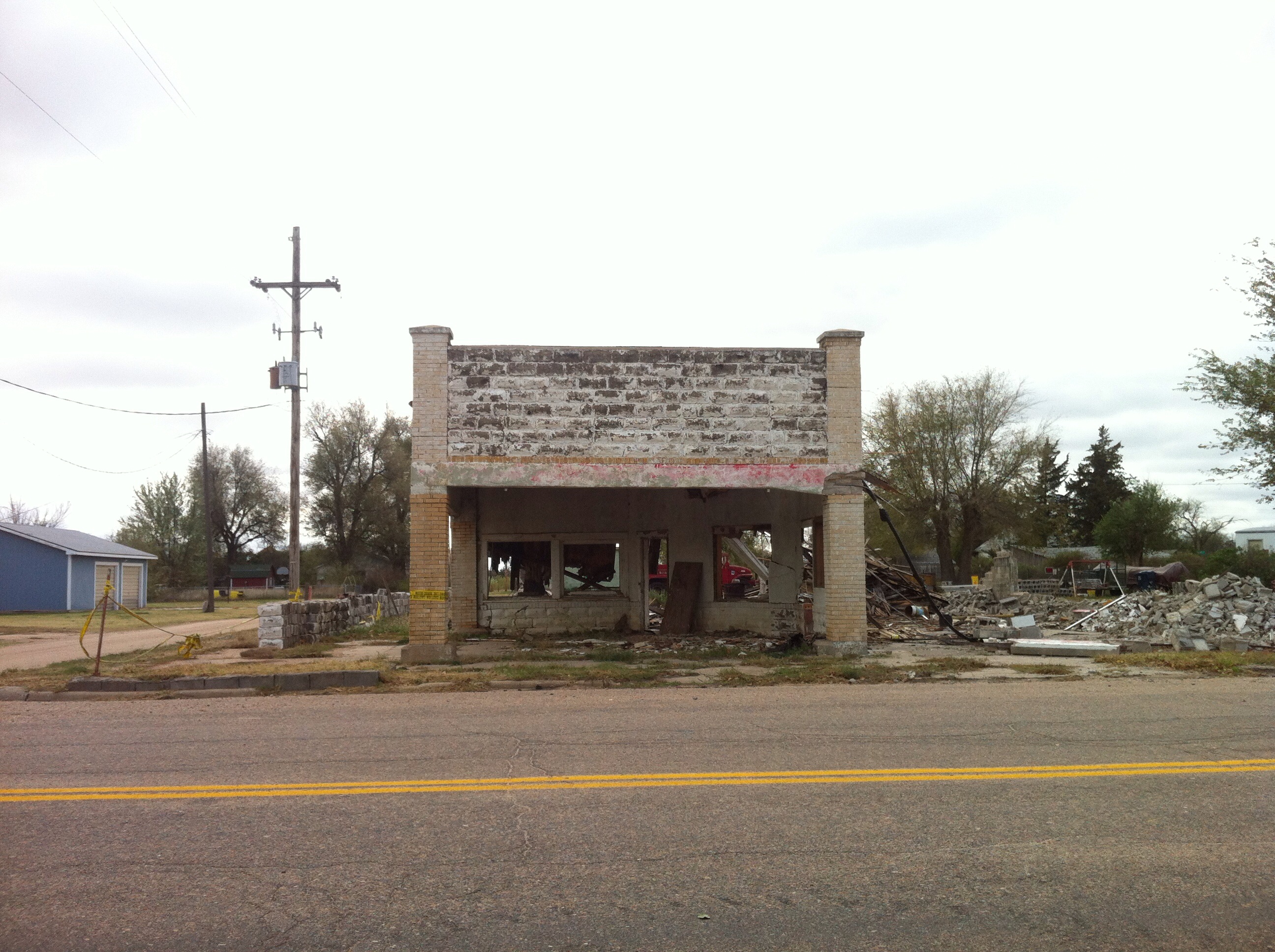
Related Photos:

UP in Kansas
Diverging Routes

UP 2563 West, E.E. Janet

BNSF 6989 West

UP 5012 West

UP 6838 East, MP 265
Ghost trip fall 2012
Ghost trip fall 2012

Post Office 67514 (Arlington, Kansas)
Topographic Map of Arlington, KS, USA
Find elevation by address:

Places in Arlington, KS, USA:
Places near Arlington, KS, USA:
312 S Elm St
Arlington
W Main St, Arlington, KS, USA
Westminster
Langdon
Plevna
Bell
6 N Front St, Langdon, KS, USA
Langdon
W Pretty Prairie Rd, Turon, KS, USA
Partridge
S Main St, Partridge, KS, USA
Reno County
4406 W Red Rock Rd
S Main St, Sylvia, KS, USA
Sylvia
Lincoln
Sylvia
N Main St, Turon, KS, USA
Turon
Recent Searches:
- Elevation of Corso Fratelli Cairoli, 35, Macerata MC, Italy
- Elevation of Tallevast Rd, Sarasota, FL, USA
- Elevation of 4th St E, Sonoma, CA, USA
- Elevation of Black Hollow Rd, Pennsdale, PA, USA
- Elevation of Oakland Ave, Williamsport, PA, USA
- Elevation of Pedrógão Grande, Portugal
- Elevation of Klee Dr, Martinsburg, WV, USA
- Elevation of Via Roma, Pieranica CR, Italy
- Elevation of Tavkvetili Mountain, Georgia
- Elevation of Hartfords Bluff Cir, Mt Pleasant, SC, USA