Elevation of Viking Ln, Running Springs, CA, USA
Location: United States > California > San Bernardino County > Running Springs >
Longitude: -117.09616
Latitude: 34.205682
Elevation: 1884m / 6181feet
Barometric Pressure: 81KPa
Elevation Map:
Satellite Map:
Related Photos:

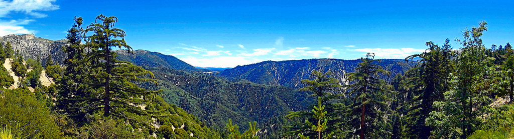
Islands in the Mist
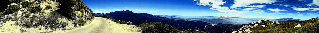
Lake View Point, SBNF

Erosion Scar [EXPLORED 5/26/17 - highest position #327]

Turn of the Seasons

A Mixture of Fog and Clouds

View from a chairlift
Keller Peak Road and View, SBNF
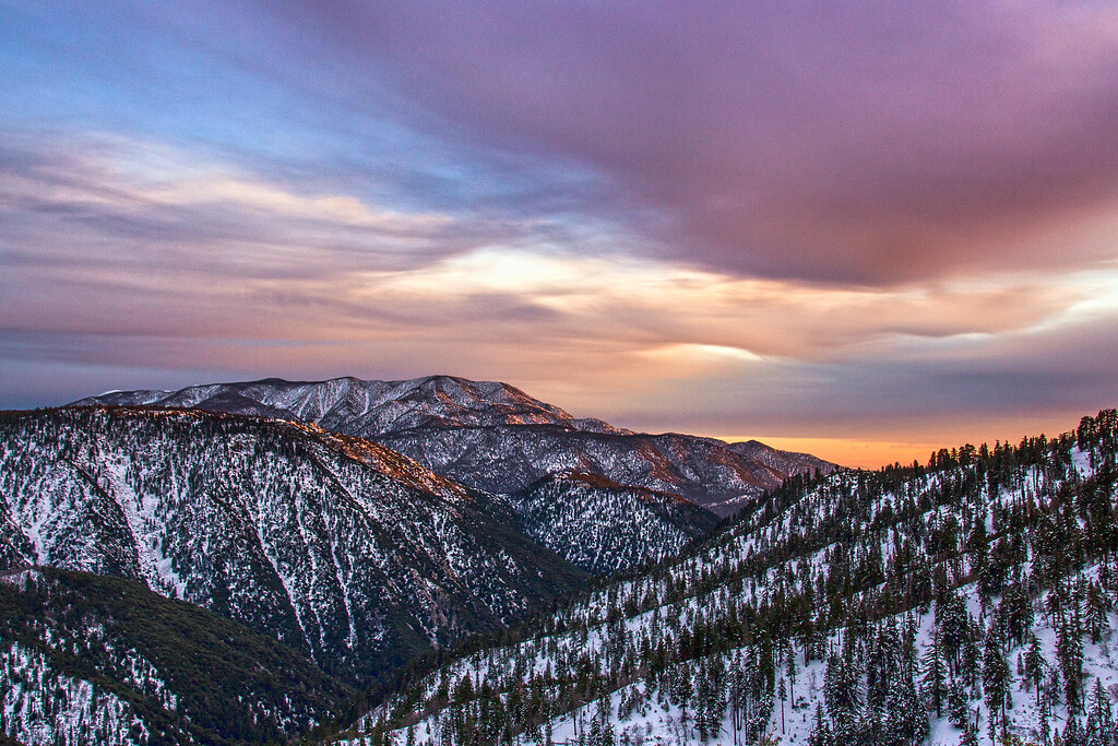
Winter Sky, San Bernardino Mountains [Explored]
View From Running Springs

prcssd. combat camera. san bernardino, ca. 2011.

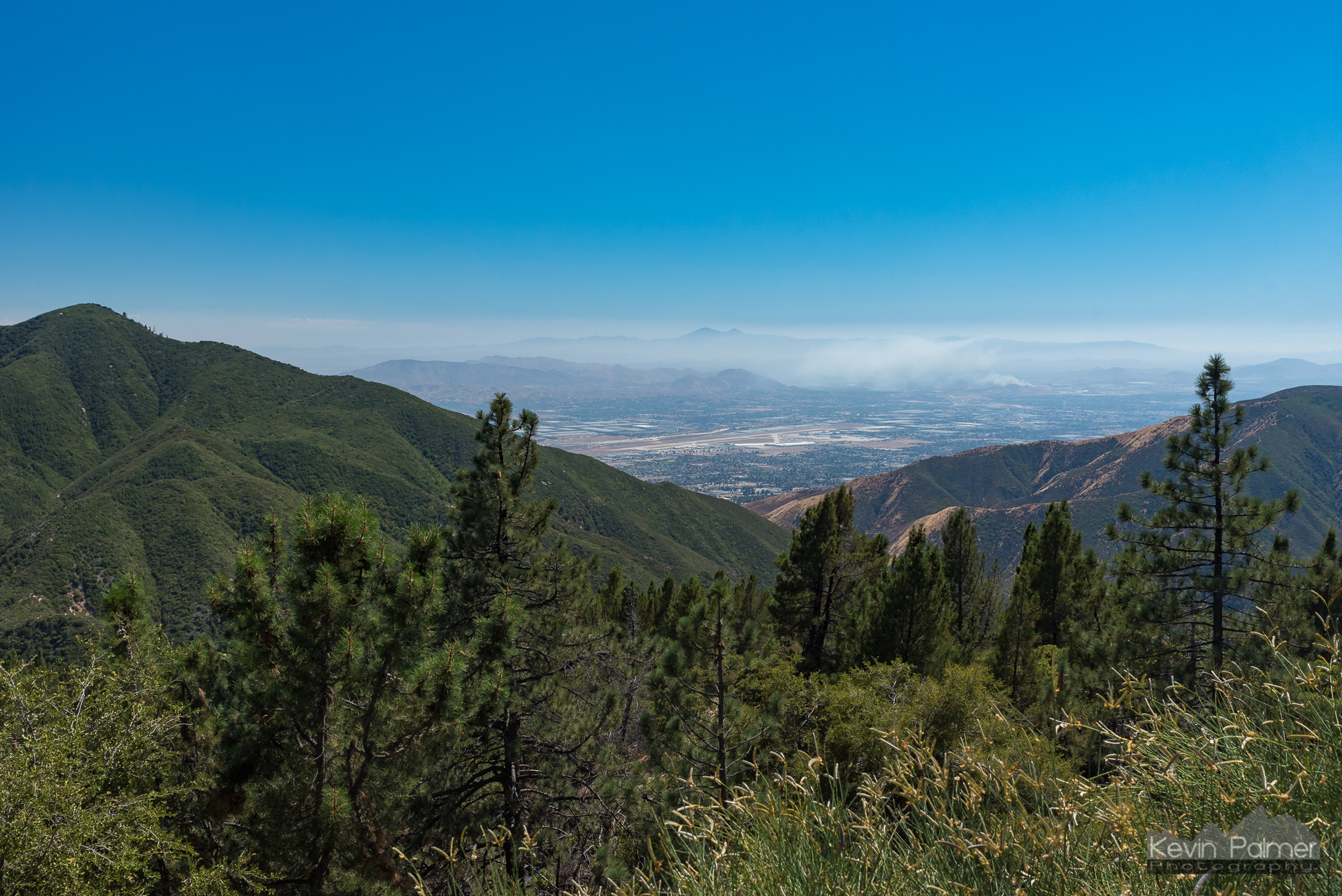
San Bernardino Valley

Above the Clouds

You Don't Bring Me Flowers Anymore

San Bernardino Mountains

South from Marie Louise

Thanksgiving Sunset HDR

Lake Arrowhead and Baldy

West of Butler Peak

View From Work
Green Topographic

The Accidental Flickr Lounge Black And White Vehicle Shot

Mill Creek Canyon

Top of the World Highway, California
San Gabriels from Keller Peak, SBNF

To the Woods
Beauty from Ashes

Mount San Bernardino, SBNF

110-365 Fishing Reconnaissance

Winter Wonderland

Big Bear Lake, Ca

There's a long line to the North Pole...

Santa Ana River Canyon, SBNF
San Gorgonio, SBNF (toned)

Fireside, the Burning

Alpine Rockpile and Mountains, SBNF

Lake Arrowhead Village, CA 7-15-17

San Bernardino National Forest, California

Sunset over Lake Arrowhead

Keller peak
Topographic Map of Viking Ln, Running Springs, CA, USA
Find elevation by address:

Places near Viking Ln, Running Springs, CA, USA:
Farmers Insurance - Eric Price
Mistletoe Dr, Running Springs, CA, USA
30552 Squirrel Ln
Running Springs
31677 Panorama Dr
Arrowbear Lake
Pine Drive
Arrowbear Lake
31496 Circle View Dr
33362 Carlock Dr
2151 Bear Rd
33411 Cedar Dr
2484 Spring Oak Dr
43 Panorama Rd, Running Springs, CA, USA
30922 Summit Dr
30901 Live Oak Dr
30903 Live Oak Dr
33037 Canyon Dr
1891 Nob Hill Dr
1957 Willow Dr
Recent Searches:
- Elevation of Corso Fratelli Cairoli, 35, Macerata MC, Italy
- Elevation of Tallevast Rd, Sarasota, FL, USA
- Elevation of 4th St E, Sonoma, CA, USA
- Elevation of Black Hollow Rd, Pennsdale, PA, USA
- Elevation of Oakland Ave, Williamsport, PA, USA
- Elevation of Pedrógão Grande, Portugal
- Elevation of Klee Dr, Martinsburg, WV, USA
- Elevation of Via Roma, Pieranica CR, Italy
- Elevation of Tavkvetili Mountain, Georgia
- Elevation of Hartfords Bluff Cir, Mt Pleasant, SC, USA