Elevation of Spring Oak Dr, Running Springs, CA, USA
Location: United States > California > San Bernardino County > Running Springs >
Longitude: -117.12602
Latitude: 34.2097478
Elevation: 1858m / 6096feet
Barometric Pressure: 81KPa
Elevation Map:
Satellite Map:
Related Photos:

A Mixture of Fog and Clouds

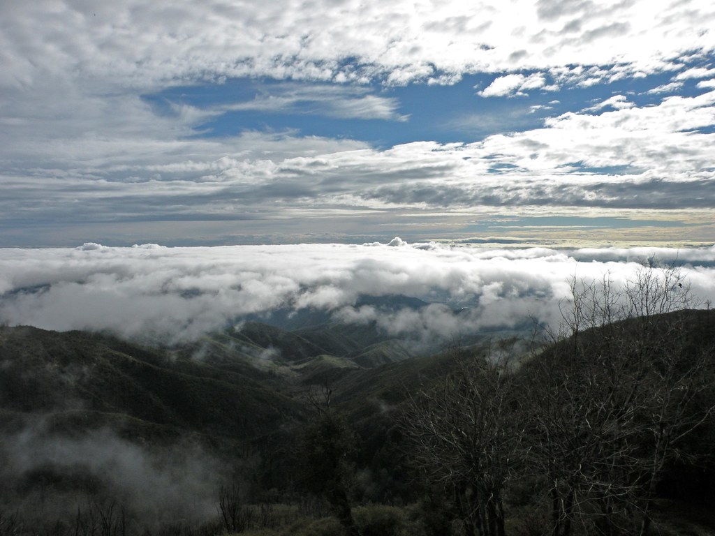
Islands in the Mist

Winter Sky, San Bernardino Mountains [Explored]

South from Marie Louise

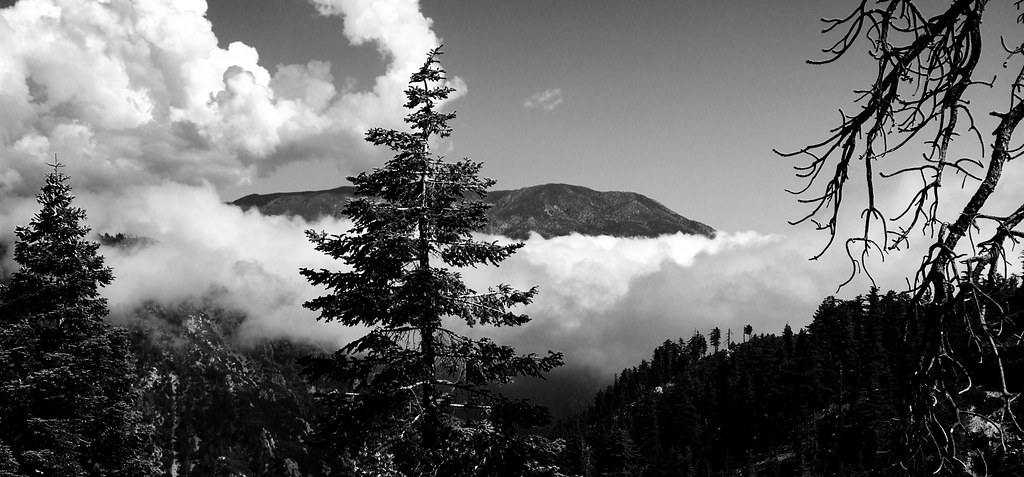
Above the Clouds
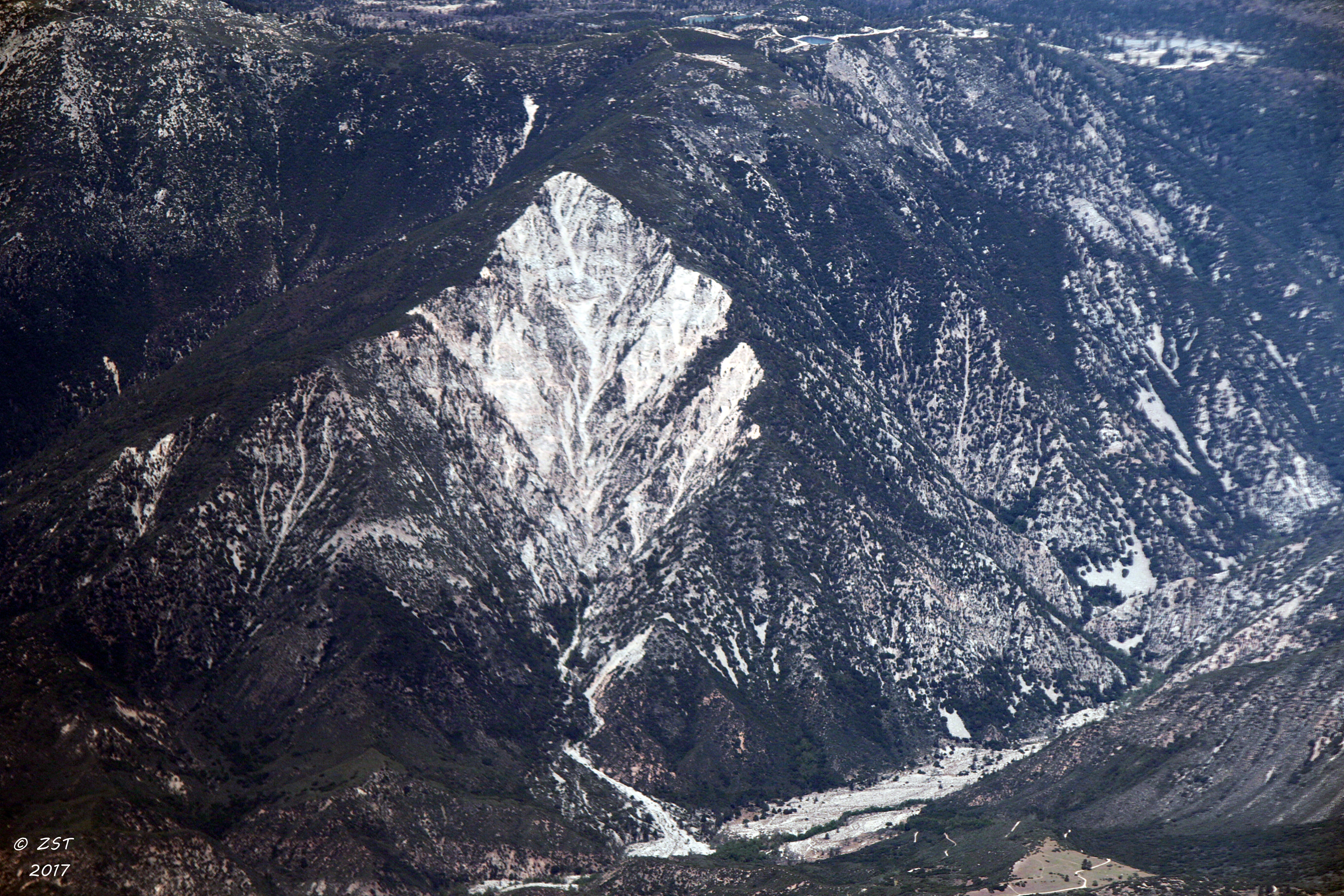
Erosion Scar [EXPLORED 5/26/17 - highest position #327]
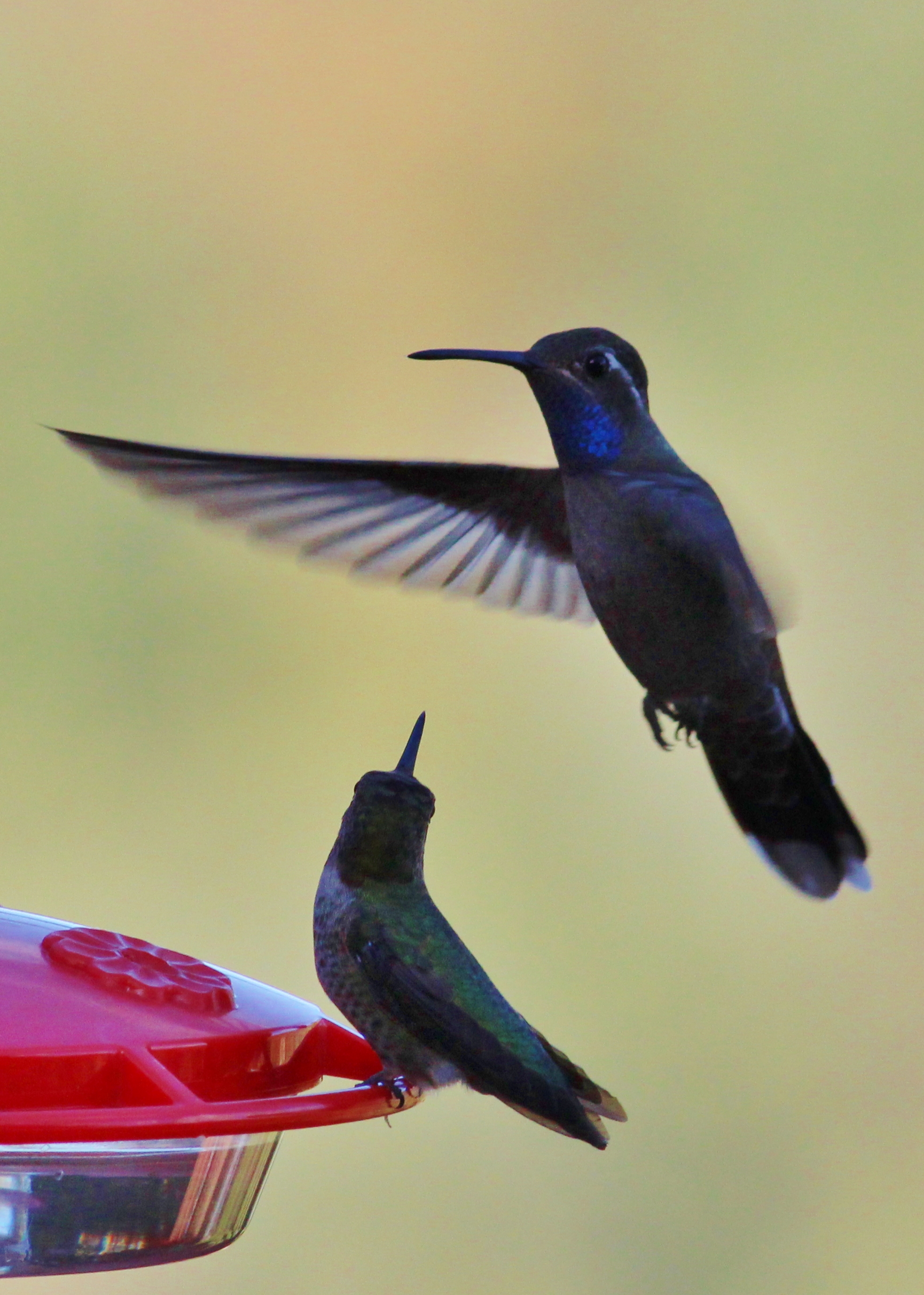
Blue-throated Hummingbird
Big Bear Lake (12 of 49)

prcssd. combat camera. san bernardino, ca. 2011.

Santa Ana River Valley

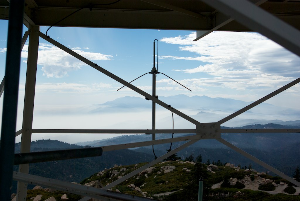
Overlooking the Inland Empire

May your day be blessed and full of strippers and burritos or pizza Birds ???? eye ???? view #330

View from a chairlift

The Inland Empire Lights
View From Work

The IE from the Mountains Above
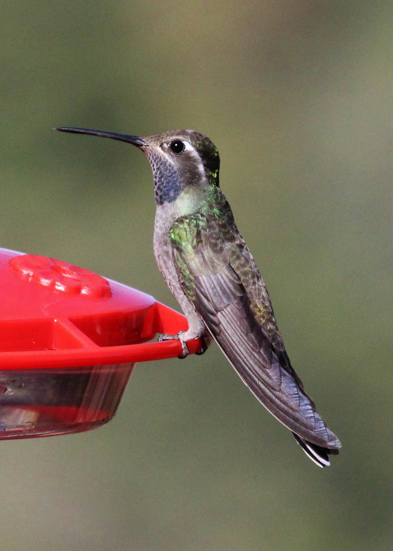
Blue-throated Hummingbird
View from the ladder

View from the patio. Good morning ya'll!!!
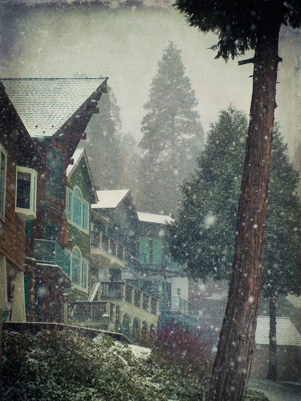
village cove homes
Morning #view #snow

Above it all
The dead tree
#bigbear #bigbearlake #sanbernardino #sanbernardinonationalforest
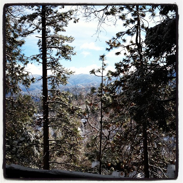
To the Woods

Turn of the Seasons
Waterfall of Light

2017-11-06 10.25.53

Mill Creek Canyon

#sanbernardinomountains #mountains #runningsprings #hwy18

Mill Creek - Mentone, CA, USA

Rim of the World Highway
2017-11-06 10.21.57
Garnet St. Bridge - Mentone, CA, USA

Sunset at Rim of the World
Milky Way over Big Bear
Fire on the Water
2017-11-06 10.22.03
Orange Saddleback
Deep Creek, California
Topographic Map of Spring Oak Dr, Running Springs, CA, USA
Find elevation by address:

Places near Spring Oak Dr, Running Springs, CA, USA:
30922 Summit Dr
30901 Live Oak Dr
30903 Live Oak Dr
Live Oak Drive
1957 Willow Dr
1891 Nob Hill Dr
31496 Circle View Dr
43 Panorama Rd, Running Springs, CA, USA
30489 Live Oak Dr
31677 Panorama Dr
Running Springs
Pali Adventures Summer Camp
Pali Institute
30778 Ca-18
Mistletoe Dr, Running Springs, CA, USA
Farmers Insurance - Eric Price
2646 Viking Ln
30552 Squirrel Ln
Skypark At Santa's Village
Arrowbear Lake
Recent Searches:
- Elevation of Corso Fratelli Cairoli, 35, Macerata MC, Italy
- Elevation of Tallevast Rd, Sarasota, FL, USA
- Elevation of 4th St E, Sonoma, CA, USA
- Elevation of Black Hollow Rd, Pennsdale, PA, USA
- Elevation of Oakland Ave, Williamsport, PA, USA
- Elevation of Pedrógão Grande, Portugal
- Elevation of Klee Dr, Martinsburg, WV, USA
- Elevation of Via Roma, Pieranica CR, Italy
- Elevation of Tavkvetili Mountain, Georgia
- Elevation of Hartfords Bluff Cir, Mt Pleasant, SC, USA