Elevation of Squirrel Ln, Running Springs, CA, USA
Location: United States > California > San Bernardino County > Running Springs >
Longitude: -117.08483
Latitude: 34.2113988
Elevation: 1844m / 6050feet
Barometric Pressure: 81KPa
Elevation Map:
Satellite Map:
Related Photos:

Turn of the Seasons

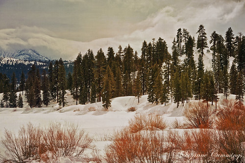
A Winter Day-Big Bear Lake, California

Islands in the Mist
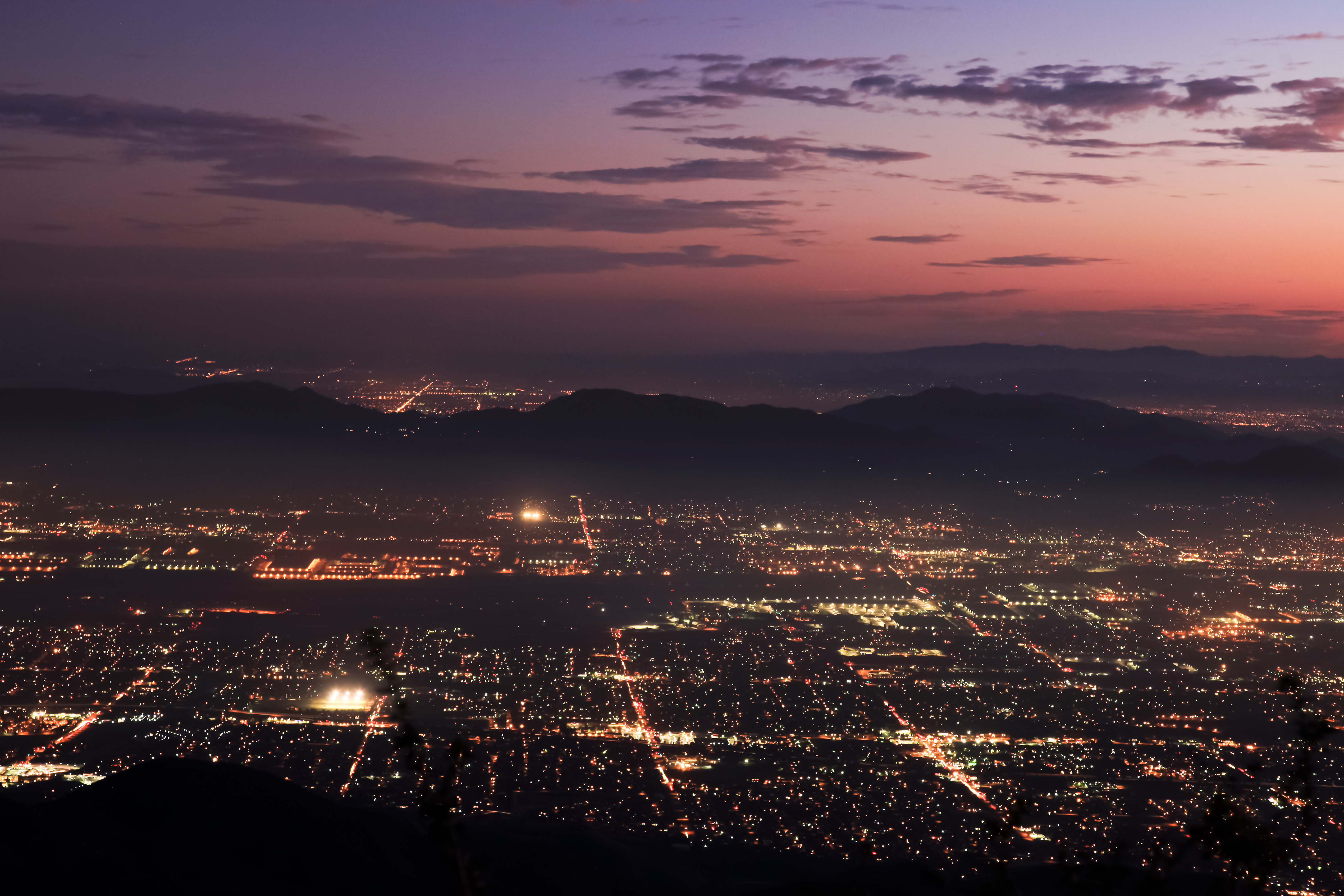
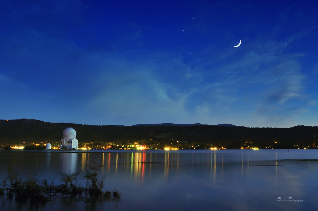
Nighttime over the Inland Empire
The Biz
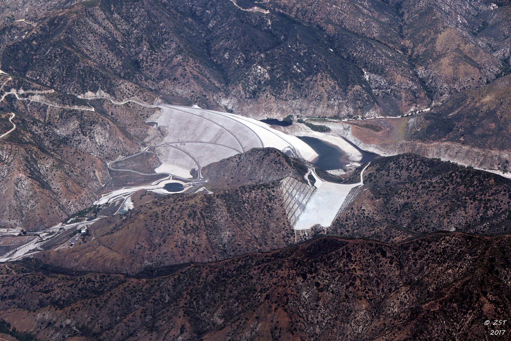
7 Oaks Dam

Overlooking the Inland Empire

A Mixture of Fog and Clouds
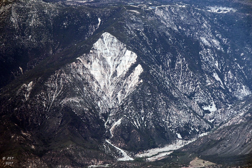
Erosion Scar [EXPLORED 5/26/17 - highest position #327]

Santa Ana River Valley
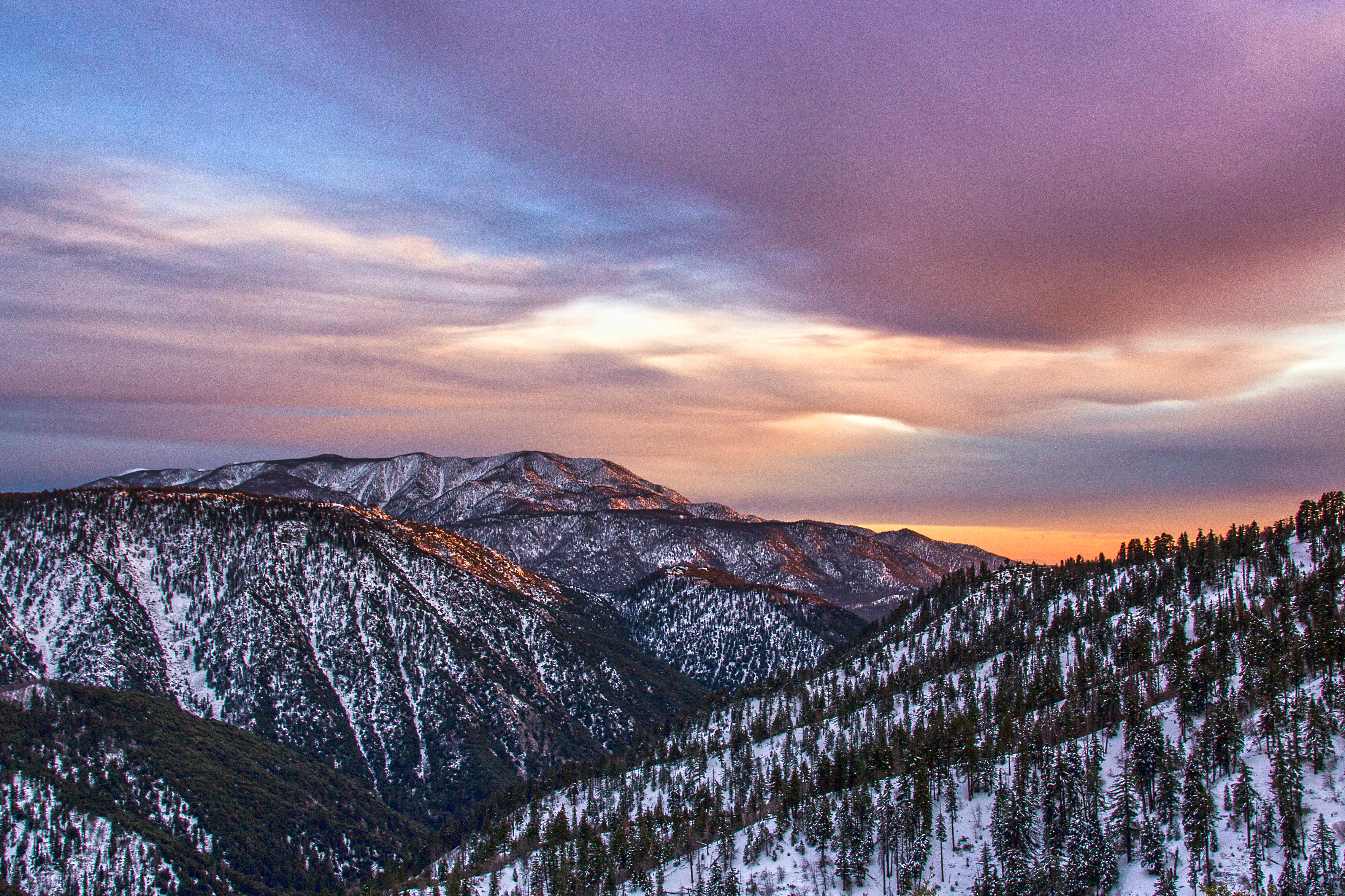
Winter Sky, San Bernardino Mountains [Explored]

The IE from the Mountains Above

The Inland Empire Lights

May your day be blessed and full of strippers and burritos or pizza Birds ???? eye ???? view #330

Seven Oaks Dam

Thanksgiving Sunset HDR
My view right now.
P l a n e t a r i u m

San Bernardino Valley
View From Work

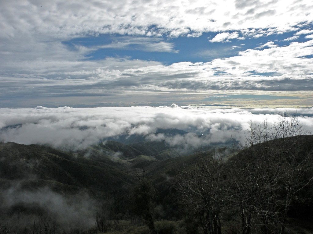
Above the Clouds
To the Woods
Garnet St. Bridge - Mentone, CA, USA

1/4 The View From Here

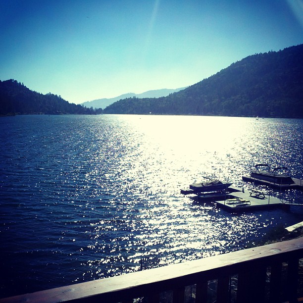
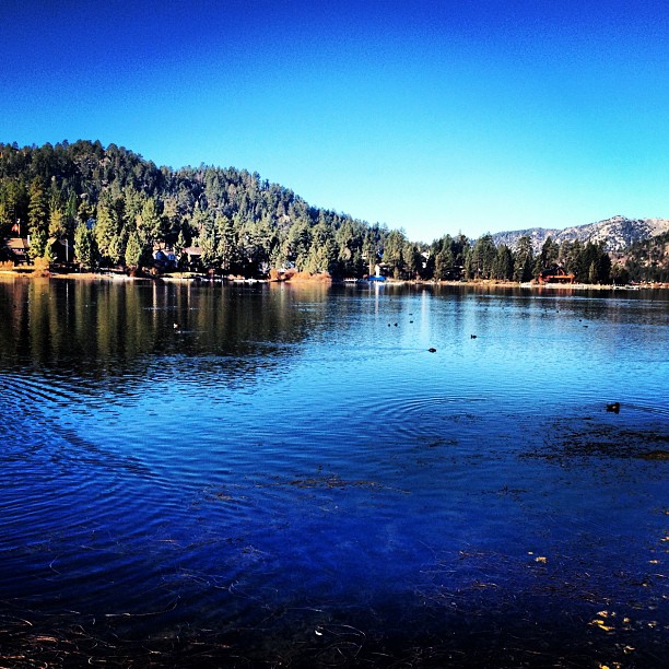
Big Bear Lake
#bigbearlake #bigbear

#GreenValleyLake
Sunset at Rim of the World
Winter Wonderland

Rim of the World Highway
#bigbearlake #photography

Sunset at Rim of the World
Good morning! #bigbearlake #photography

#sanbernardinomountains #mountains #runningsprings #hwy18

Above it all
Topographic Map of Squirrel Ln, Running Springs, CA, USA
Find elevation by address:

Places near Squirrel Ln, Running Springs, CA, USA:
Arrowbear Lake
Arrowbear Lake
Pine Drive
33362 Carlock Dr
2151 Bear Rd
33411 Cedar Dr
2646 Viking Ln
Farmers Insurance - Eric Price
Mistletoe Dr, Running Springs, CA, USA
Running Springs
33037 Canyon Dr
31677 Panorama Dr
33186 Wild Rose Dr
33220 Maple Ln
Green Valley Lake
33004 Piedras Grande
31496 Circle View Dr
694 Oak Knoll Dr
33596 Green Valley Lake Rd
2484 Spring Oak Dr
Recent Searches:
- Elevation of Corso Fratelli Cairoli, 35, Macerata MC, Italy
- Elevation of Tallevast Rd, Sarasota, FL, USA
- Elevation of 4th St E, Sonoma, CA, USA
- Elevation of Black Hollow Rd, Pennsdale, PA, USA
- Elevation of Oakland Ave, Williamsport, PA, USA
- Elevation of Pedrógão Grande, Portugal
- Elevation of Klee Dr, Martinsburg, WV, USA
- Elevation of Via Roma, Pieranica CR, Italy
- Elevation of Tavkvetili Mountain, Georgia
- Elevation of Hartfords Bluff Cir, Mt Pleasant, SC, USA