Elevation of Live Oak Dr, Running Springs, CA, USA
Location: United States > California > San Bernardino County > Running Springs >
Longitude: -117.12850
Latitude: 34.2153153
Elevation: 1894m / 6214feet
Barometric Pressure: 81KPa
Elevation Map:
Satellite Map:
Related Photos:
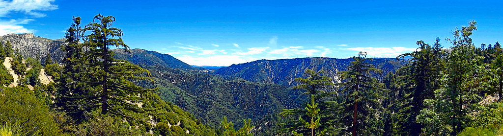
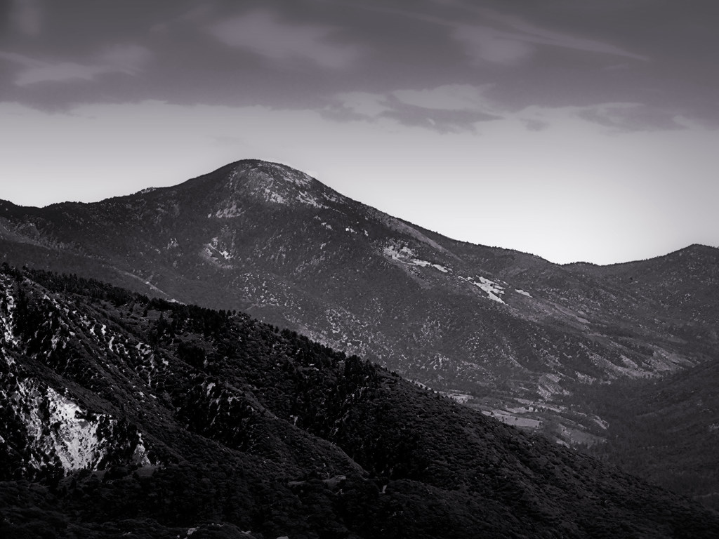
Lake View Point, SBNF

Islands in the Mist

What A Blast!

View from a chairlift
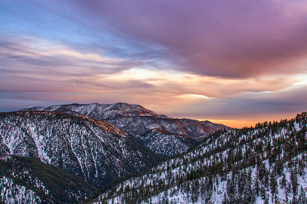
Winter Sky, San Bernardino Mountains [Explored]

You Don't Bring Me Flowers Anymore

Ms. Brown's Class

Blue-throated Hummingbird

Nighttime over the Inland Empire

Erosion Scar [EXPLORED 5/26/17 - highest position #327]

Turn of the Seasons

A Mixture of Fog and Clouds
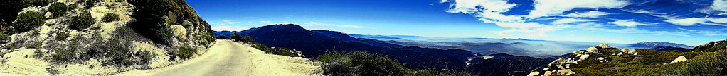
Keller Peak Road and View, SBNF

Mountain Serenity

San Bernardino Valley

prcssd. combat camera. san bernardino, ca. 2011.

Above the Clouds

Mountain-Woman

7 Oaks Dam

A Beautiful View With A Beautiful Girl

Santa Ana River Valley
Beauty from Ashes

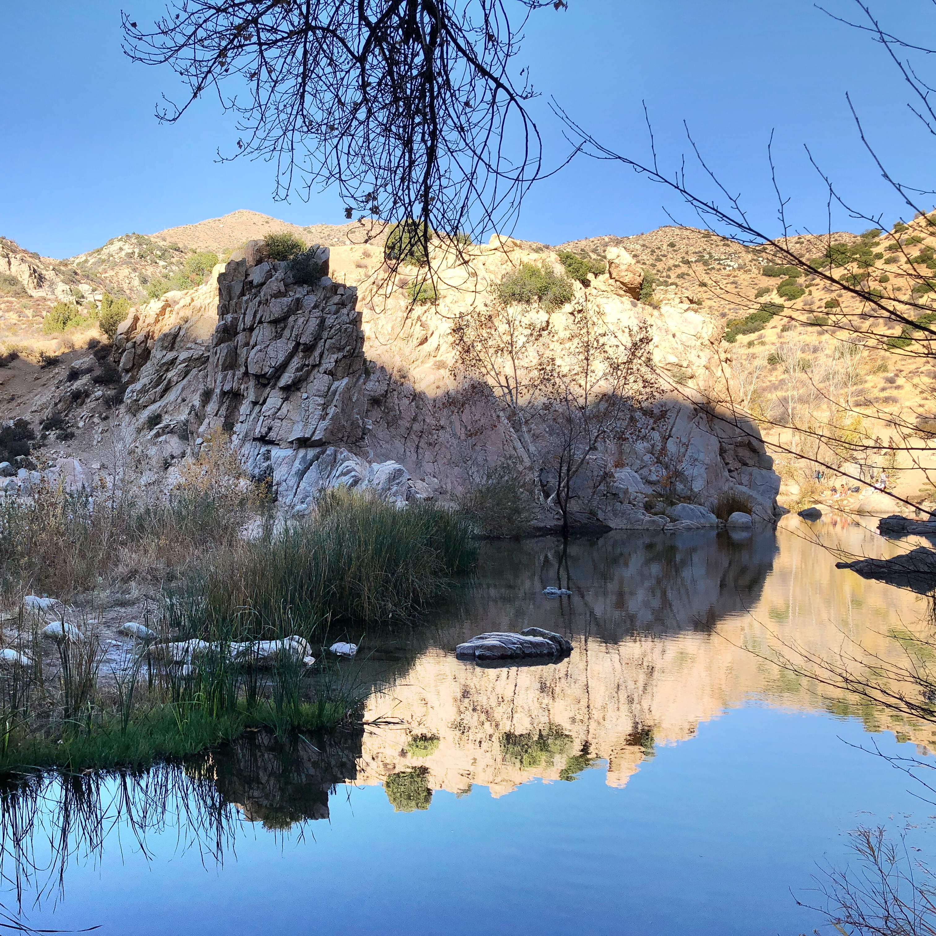
Lake Gregory Reflections

110-365 Fishing Reconnaissance
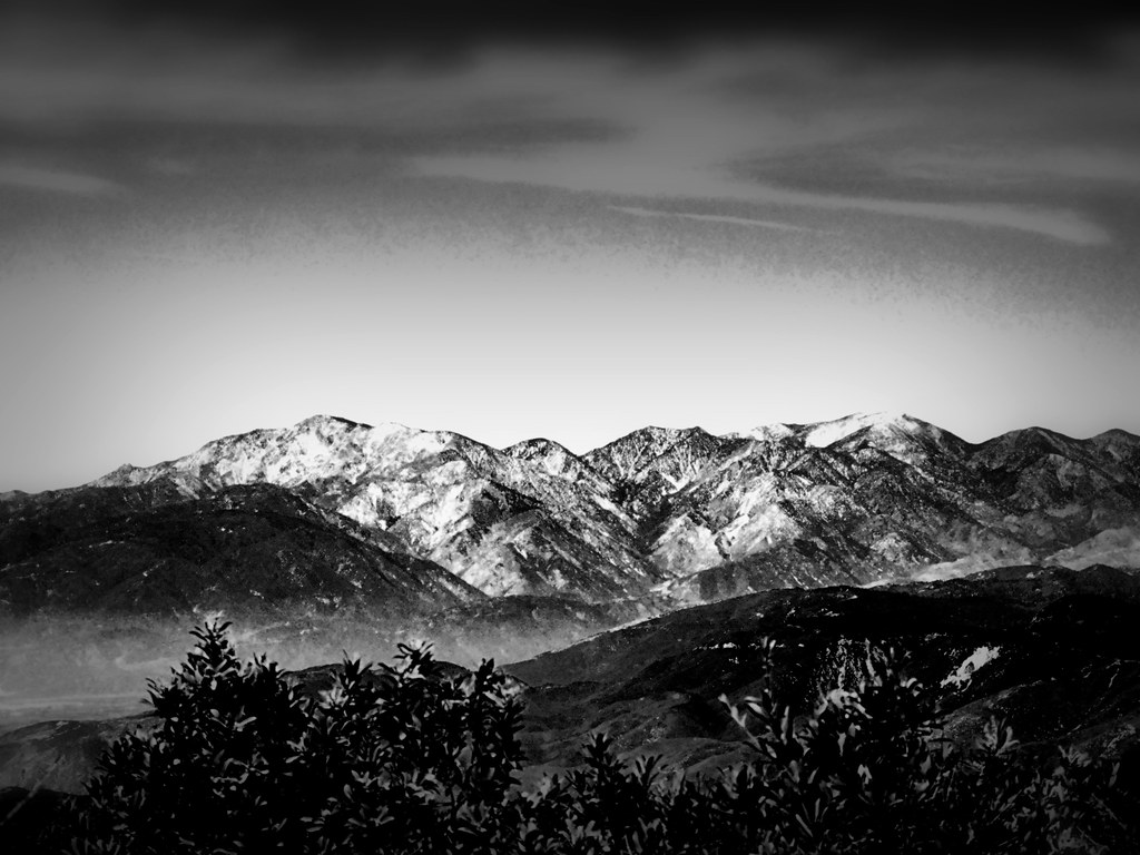
San Gorgonio, SBNF (toned)

Alpine Rockpile and Mountains, SBNF
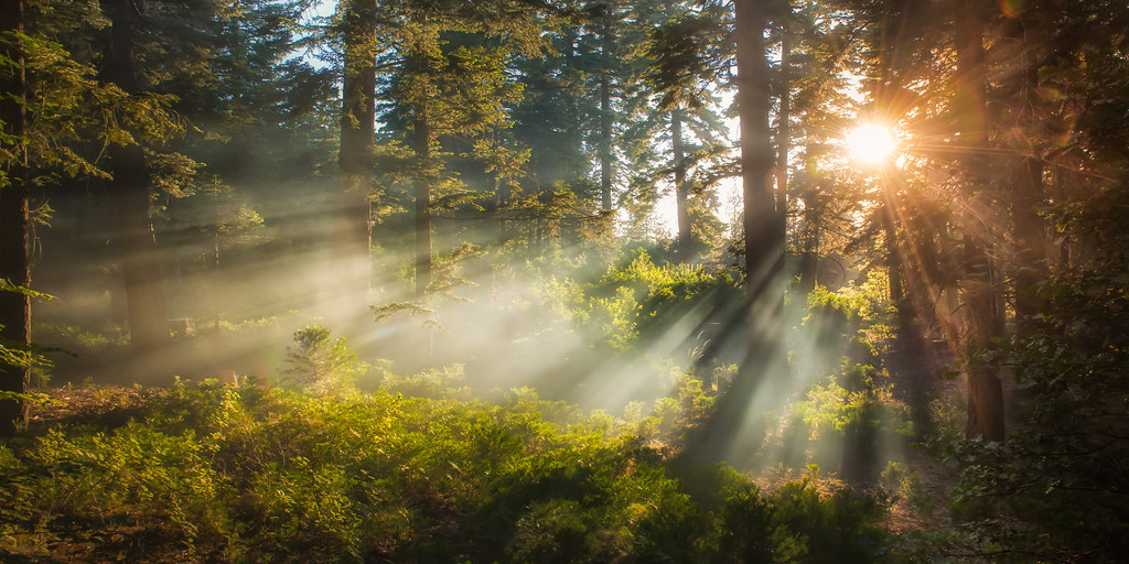
Morning Creek
Harrison Mountain, SBNF

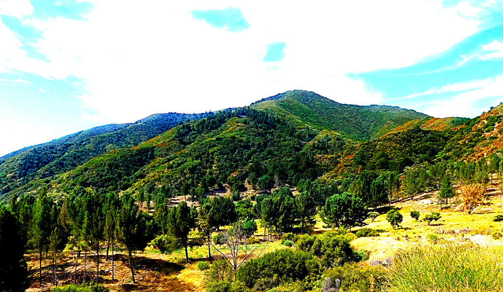
San Bernardino Mountains

South from Marie Louise

5 Days

Mill Creek Canyon

Top of the World Highway, California
San Gabriels from Keller Peak, SBNF

To the Woods

Mount San Bernardino, SBNF

Santa Ana River Canyon, SBNF

There's a long line to the North Pole...
Topographic Map of Live Oak Dr, Running Springs, CA, USA
Find elevation by address:

Places near Live Oak Dr, Running Springs, CA, USA:
30901 Live Oak Dr
30922 Summit Dr
1957 Willow Dr
1891 Nob Hill Dr
2484 Spring Oak Dr
Live Oak Drive
Pali Adventures Summer Camp
Pali Institute
30778 Ca-18
31496 Circle View Dr
30489 Live Oak Dr
43 Panorama Rd, Running Springs, CA, USA
31677 Panorama Dr
Running Springs
Mistletoe Dr, Running Springs, CA, USA
Farmers Insurance - Eric Price
2646 Viking Ln
Skypark At Santa's Village
30552 Squirrel Ln
28950 Ca-18
Recent Searches:
- Elevation of Corso Fratelli Cairoli, 35, Macerata MC, Italy
- Elevation of Tallevast Rd, Sarasota, FL, USA
- Elevation of 4th St E, Sonoma, CA, USA
- Elevation of Black Hollow Rd, Pennsdale, PA, USA
- Elevation of Oakland Ave, Williamsport, PA, USA
- Elevation of Pedrógão Grande, Portugal
- Elevation of Klee Dr, Martinsburg, WV, USA
- Elevation of Via Roma, Pieranica CR, Italy
- Elevation of Tavkvetili Mountain, Georgia
- Elevation of Hartfords Bluff Cir, Mt Pleasant, SC, USA