Elevation of Turkey Creek Road, Turkey Creek Rd, West Virginia, USA

Location: United States > West Virginia > Monroe County > Eastern > Mcglone >

Longitude: -80.501373

Latitude: 37.5373329

Elevation: 684m / 2244feet

Barometric Pressure: 93KPa

Elevation Map:

elevation map of Turkey Creek Road, Turkey Creek Rd, West Virginia, USA

Satellite Map:

Satellite map of Turkey Creek Road, Turkey Creek Rd, West Virginia, USA

Related Photos:

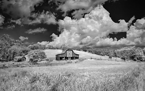
clouds barn farm quilttile quilt road countryroad monroe wv lindside bobbell nikon d750
Quilt Pattern Barn - No Fishing
quiltbarn clouds barn farm puffyclouds weather bobbell nikon d750
Quilt Pattern Barn with Clouds_BW
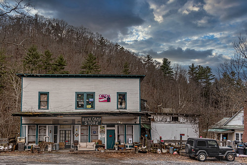
generalstore store rockcamp monroe nikon d750 bobbell
Rock Camp General Store
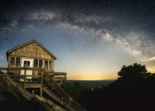
milky way long exposure hanging rock raptor observatory west virginia night time photography astrophotography astronomy summer appalachian mountains blue ridge jefferson national forest roanoke dark sky clear moonlight firewatch fire watch tower look out mountain top hiking camping sonya6000 samyangrokinon12mmf20 allegheny trail peters
Hanging Rock Raptor Observatory
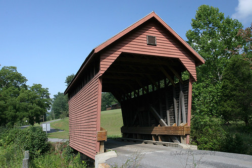
road morning autumn red usa mist mountain tree fall nature leaves car yellow electric fog rural forest sunrise landscape outdoors fire leaf nc wire highway scenery view unitedstates south scenic utility cable southern westvirginia vista hamlet telefone attraction lpbridges
Indian Creek Covered Bridge
august westvirginia 2009 coveredbridges indiancreek monroecounty riversandstreams nrhp canon24105l indiancreekbridge august2009 westvirginiacoveredbridges longtruss
Indian Creek Bridge 2 - West Virginia
august westvirginia 2009 laurelcreek coveredbridges monroecounty canon1740l riversandstreams queenposttruss nrhp august2009 westvirginiacoveredbridges laurelcreekbridge
Laurel Creek Bridge - West Virginia
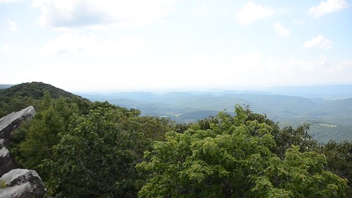
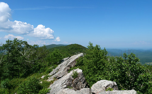
westvirginia hangingrockraptorobservatory hangingrocktower alleghenytrail panorama movie
Hanging Rock panorama
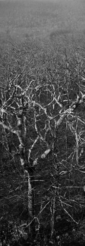
trees blackandwhite bw panorama white black forest 350d virginia woods perfect pano panoramas mountainlake verticalpanorama undisturbed windrock perfectpanoramas xti rebelxti
Wind Rock Trees
panasoniclumixg9 panasonicg9 lumixg9 hangingrockraptorobservatory westvirginia panasoniclumixgleica1260mm
Hanging Rock 1
westvirginia hangingrockraptorobservatory hangingrocktower alleghenytrail
Above the ridge
panasoniclumixg9 panasonicg9 lumixg9 hangingrockraptorobservatory westvirginia panasoniclumixgleica1260mm
Hanging Rock 2
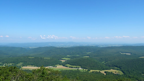
usa unitedstates westvirginia greenville
View Southeast from Greenville, WV
westvirginia
View from Confederate Monument, Monroe County, WV
panasoniclumixg9 panasonicg9 lumixg9 hangingrockraptorobservatory westvirginia panasoniclumixgleica1260mm
Hanging Rock 5
panasoniclumixg9 panasonicg9 lumixg9 hangingrockraptorobservatory westvirginia panasoniclumixgleica1260mm
Hanging Rock 4
panasoniclumixg9 panasonicg9 lumixg9 hangingrockraptorobservatory westvirginia panasoniclumixgleica1260mm
Hanging rock 3
instagramapp square squareformat iphoneography uploaded:by=instagram lark
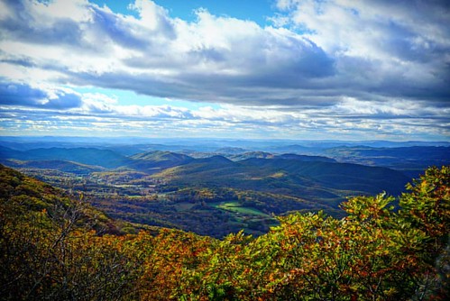
10/22/2016 So I drove to here from Salem, VA not knowing I would end up in West Virginia. From the Hanging Rock Allegheny trail parking lot it's about a mile of fairly easy climb to the top. The views are just spectacular up there. The observatory is open
instagramapp square squareformat iphoneography uploaded:by=instagram
10/22/2016 One of the views to the NE from Hanging Rock Observatory #hangingrock #wv #westvirginia #wvwildandwonderful #waitevillewv #alleghenytrail #raptorobservatory #hangingrockobservatory #fall2016 #wvfall #explorewv #lovewv #visitwv #instafotoameric
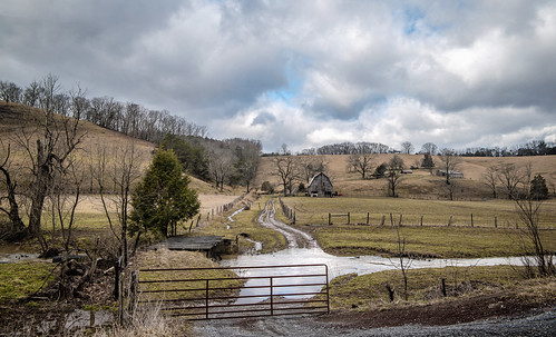
landscape farm barn sky clouds fence gate stream creek flood road rural country trees wv westvirginia monroe bobbell nikon d750
Cooks Run Barn_Wide
sunset summer mountains forest virginia hiking trail hiker overlook appalachiantrail windrock
Western Sky
chevy chevrolet truck antiquetruck classictruck smalltownsunset landscape union wv monroecounty bobbekk nikon d850
1952 Chevy in Union
barn cows farm redbarn winter clouds landscape nikon cattle wv d800 monroecounty bobbell wetvirginia lindside tractor johndeere endloader hay hayfork crib corncrib
Working Farm
barn redbarn farm mountains landscape clouds bobbell nikon d750 gapmills monroecounty
Gap Mills Barn (Explored)
coveredbridge laurelcreek road rural bobbell monroecounty nikon d850 winter weather landscape
Laurel Creek Covered Bridge
barn redbarn farm fall clouds landscape ruraldecay bobbell nikon monroecounty wv westvirginia zenith autumn d800
Red Barn on Zenith Road
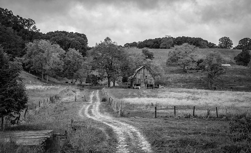
farm barn clouds landscape bw monroecounty bobbell nikon d750 wv westvirginia lindside cooksrun dirtroad
Cooks Run Farm B&W
barn road ruralwinter landscape farm fence bobbell nikon d800 monroecounty wv westvirginia
Red Barn on Laurel Creek Road
church countrychurch mthedding mounthedding road farm clouds landscape rurallandscape bobbell nikon d850
Mt. Hedding Church
farmhouse home abandoned waitevile monroecounty wv westvirginia mountainhome fall farm clouds bobbell nikon d750 sky landscape
LaFon Homestead
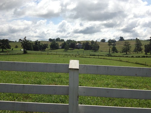
farm farmhouse clouds landscape fence whitefence mountains barn redbarn fall nikon d750 bobbell
Farm at Crimson Springs
elmwood mansion mountains coulds landscape union wv monroecounty westvirginia winter farm bobbell nikon d850
Elmwood Estate from Green Hill Cemetery
fall clouds landscape ruraldecay bobbell nikon d850 monroecounty wv zenith autumn church valleychurch
Valley Baptist Church
barn redbarn farm fall clouds landscape ruraldecay bobbell nikon d850 monroecounty wv westvirginia zenith
Red Barn on Zenith Road
church countrychurch pickaway fcog clouds landscape bobbell nikon d850 wv westvirginia monroecounty
Pickaway First Church of God
barn quiltpattern wv monroe bobbell lindside farm nikon landscape cow cattle
Quilt Barn_BW
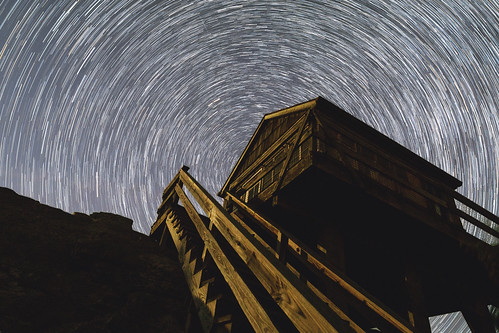
sony a6000 samyang rokinon 12mm f20 wide angle landscape hanging rock raptor observatory west virginia blue ridge mountains parkway hiking camping nature woods summer long exposure stars stacking stack star trails light
Hanging Rock Stair Trails
barn farm abandoned road countryroad mountains serene westvirginia wv lindside monroe fence trees sky bw bobbell xt1 fujifilm
Barn on Cook's Run
farm barn lindside monroe clouds blackandwhite bw cattle road weather bobbell nikon d750 wv westvirginia
West Virginia Farm_BW
sony a6000 samyang rokinon 12mm f20 wide angle landscape hanging rock raptor observatory west virginia blue ridge mountains parkway hiking camping nature woods summer dawn forest morning first light
Hiking at dawn