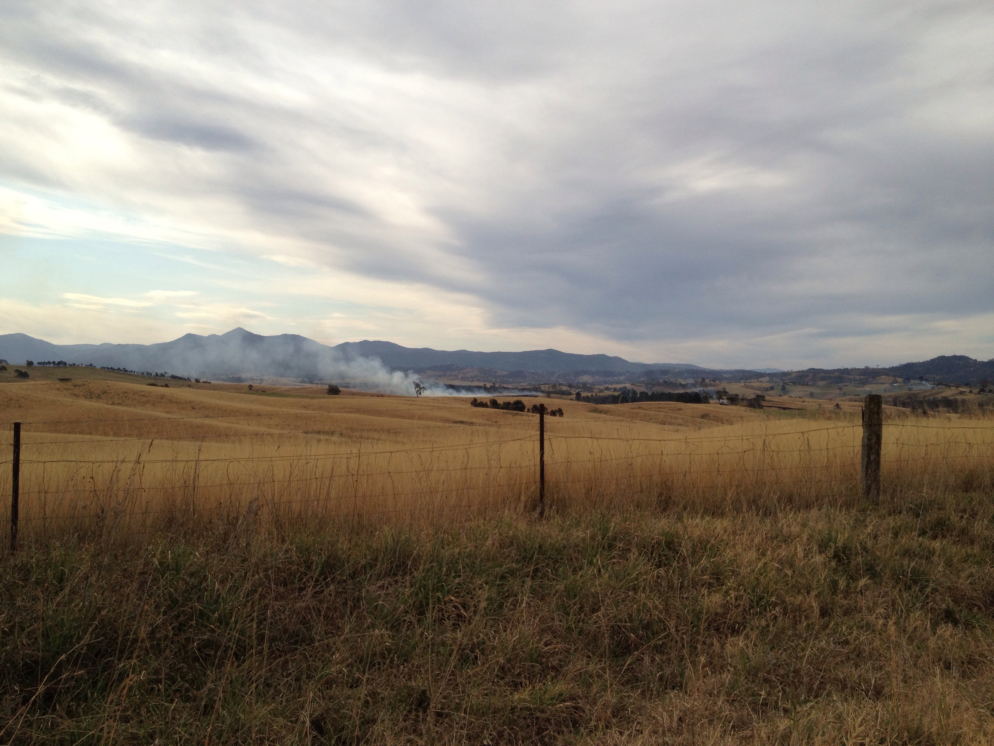
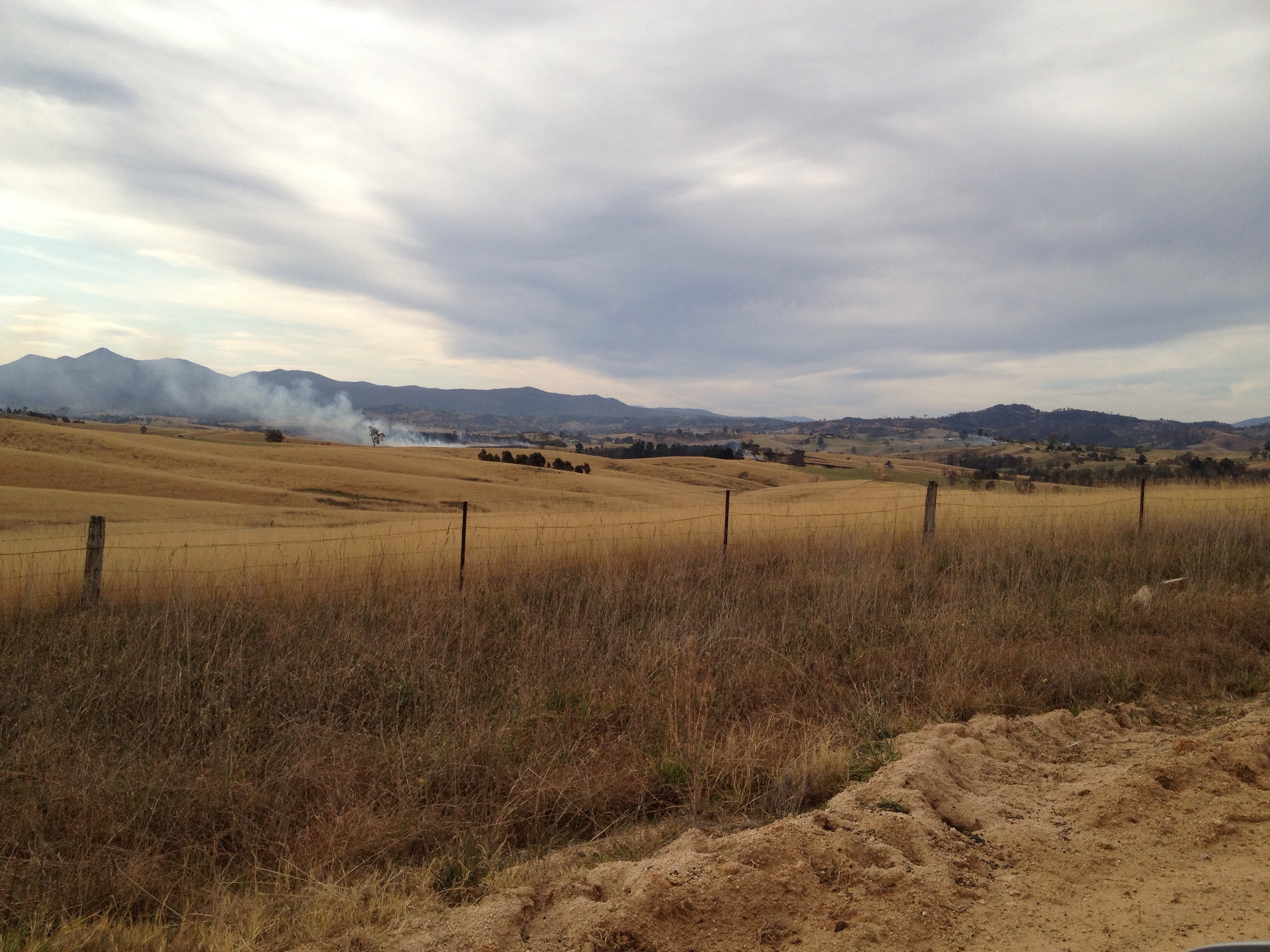
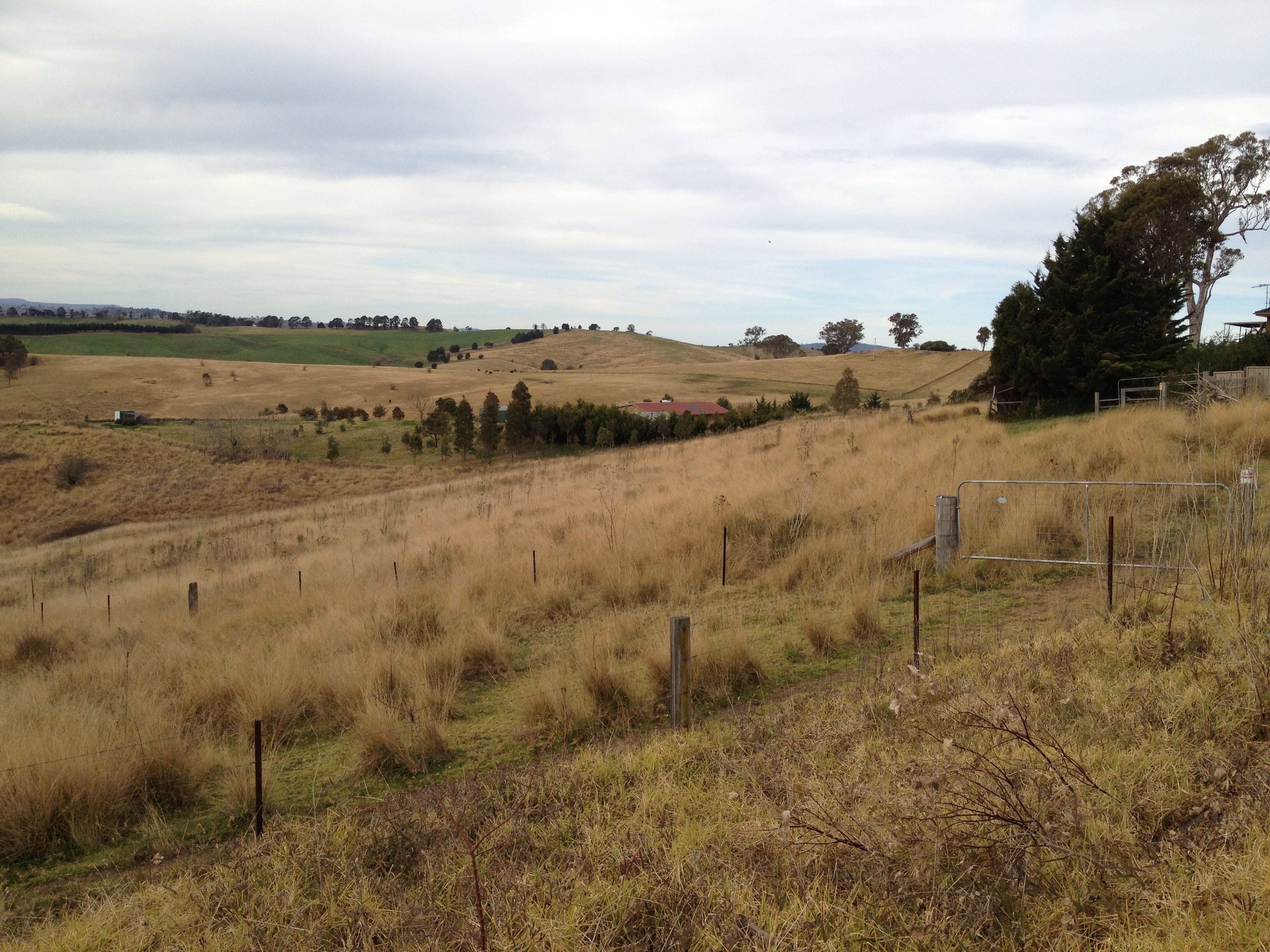
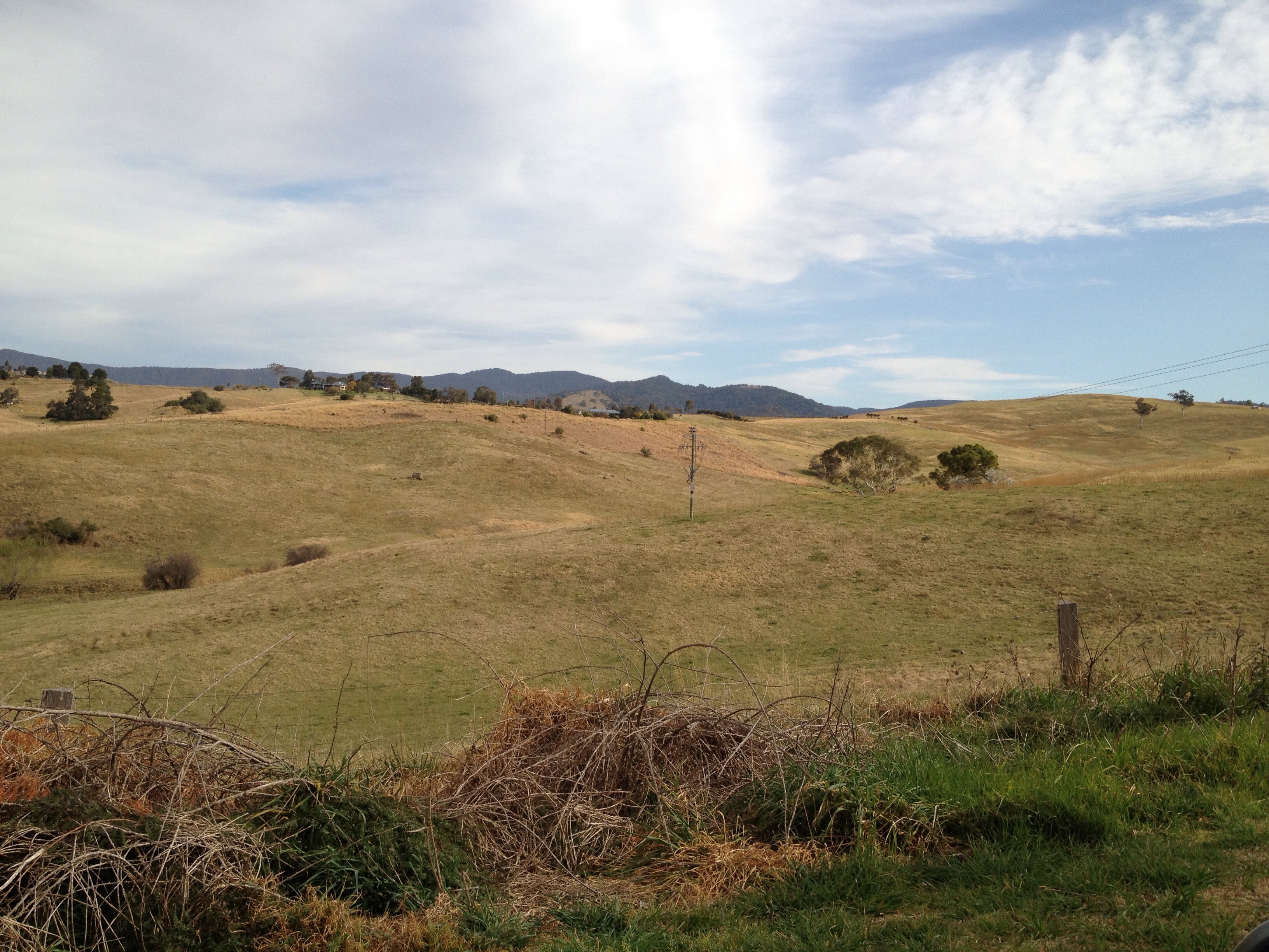
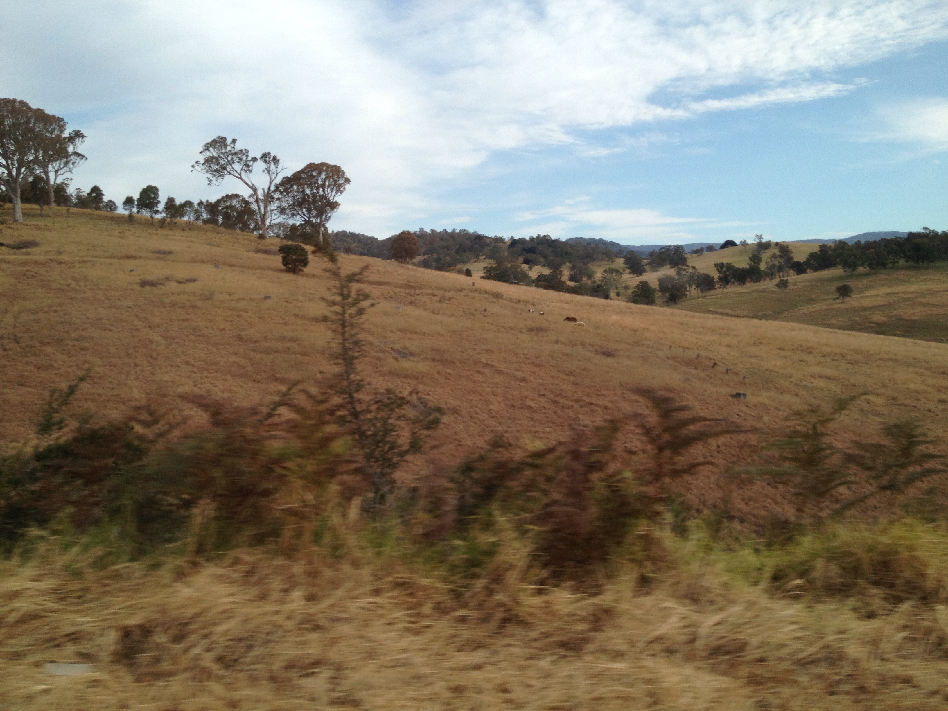
Elevation of Themeda, Candelo-Wolumla Rd, Toothdale NSW, Australia
Location: Australia > New South Wales > Bega Valley Shire Council >
Longitude: 149.7452786
Latitude: -36.78547
Elevation: 132m / 433feet
Barometric Pressure: 0KPa
Related Photos:
Ischnura aurora female wings

Gentle wave
Shepherds Warning

dairy herd
afternoon feed

Jalmenus evagoras
Agile Wallaby (Macropus agilis) 4682
Kemps Ln, Kameruka
spring sowing
Kemps Ln, Kameruka
Candelo Rd, Candelo
Candelo St, Candelo
Mogilla Rd, Candelo

Golden-headed Cisticola

The herd

Yellow-rumped Thornbill

Sappire Coast NSW
Topographic Map of Themeda, Candelo-Wolumla Rd, Toothdale NSW, Australia
Find elevation by address:

Places near Themeda, Candelo-Wolumla Rd, Toothdale NSW, Australia:
519 Towridgee Ln
Bega
Bega Valley Shire Council
12 Park Ln
Tantawangalo
1466 Tantawangalo Mountain Rd
1466 Tantawangalo Mountain Rd
105 Merimbula Dr
Merimbula
Tathra
Bemboka
41 Parkes St
Big Jack Mountain Road
Eden
Bombala
Kellys Mountain Road
Bombala Council
Rockton
Mallacoota
Wingan River
Recent Searches:
- Elevation of Pasing, Munich, Bavaria, 81241, Germany
- Elevation of 24, Auburn Bay Crescent SE, Auburn Bay, Calgary, Alberta, T3M 0A6, Canada
- Elevation of Denver, 2314, Arapahoe Street, Five Points, Denver, Colorado, 80205, USA
- Elevation of Community of the Beatitudes, 2924, West 43rd Avenue, Sunnyside, Denver, Colorado, 80211, USA
- Elevation map of Litang County, Sichuan, China
- Elevation map of Madoi County, Qinghai, China
- Elevation of 3314, Ohio State Route 114, Payne, Paulding County, Ohio, 45880, USA
- Elevation of Sarahills Drive, Saratoga, Santa Clara County, California, 95070, USA
- Elevation of Town of Bombay, Franklin County, New York, USA
- Elevation of 9, Convent Lane, Center Moriches, Suffolk County, New York, 11934, USA
- Elevation of Saint Angelas Convent, 9, Convent Lane, Center Moriches, Suffolk County, New York, 11934, USA
- Elevation of 131st Street Southwest, Mukilteo, Snohomish County, Washington, 98275, USA
- Elevation of 304, Harrison Road, Naples, Cumberland County, Maine, 04055, USA
- Elevation of 2362, Timber Ridge Road, Harrisburg, Cabarrus County, North Carolina, 28075, USA
- Elevation of Ridge Road, Marshalltown, Marshall County, Iowa, 50158, USA
- Elevation of 2459, Misty Shadows Drive, Pigeon Forge, Sevier County, Tennessee, 37862, USA
- Elevation of 8043, Brightwater Way, Spring Hill, Williamson County, Tennessee, 37179, USA
- Elevation of Starkweather Road, San Luis, Costilla County, Colorado, 81152, USA
- Elevation of 5277, Woodside Drive, Baton Rouge, East Baton Rouge Parish, Louisiana, 70808, USA
- Elevation of 1139, Curtin Street, Shepherd Park Plaza, Houston, Harris County, Texas, 77018, USA