Elevation of Tathra NSW, Australia
Location: Australia > New South Wales > Bega Valley Shire Council >
Longitude: 149.967422
Latitude: -36.736021
Elevation: 92m / 302feet
Barometric Pressure: 100KPa
Elevation Map:
Satellite Map:
Related Photos:

Moments in time 2

Kianinny Bay

Kianinny cauldron

Number 55

Humpback Whale jumping

North Tura Beach

Chamberlain Lookout - Vista Point, Tathra 8871

Ocean glimpse

Gillards Beach

Tathra's Bellbirds

Local Hack Spot
Wallagoot Gap 3356

At the Beach

View south

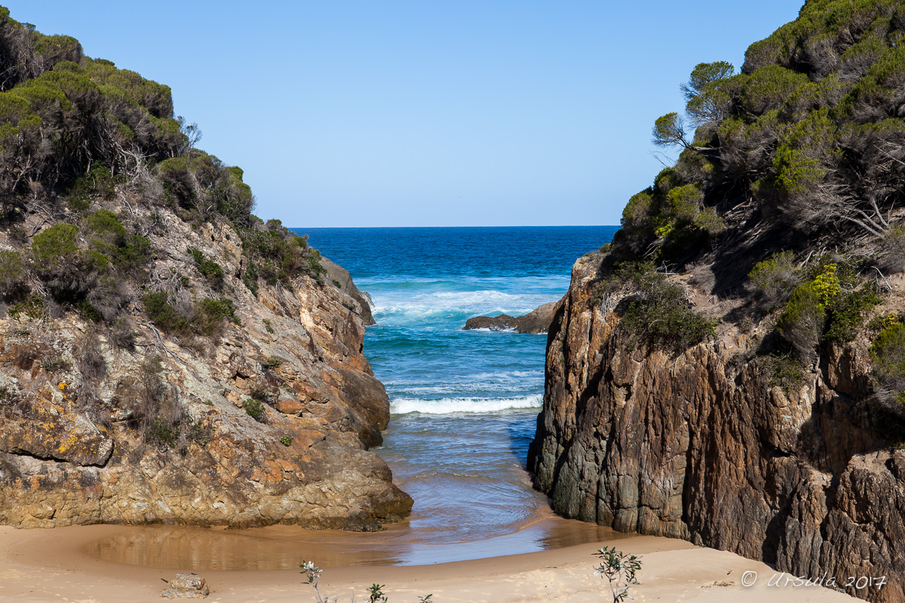
Rocky shore
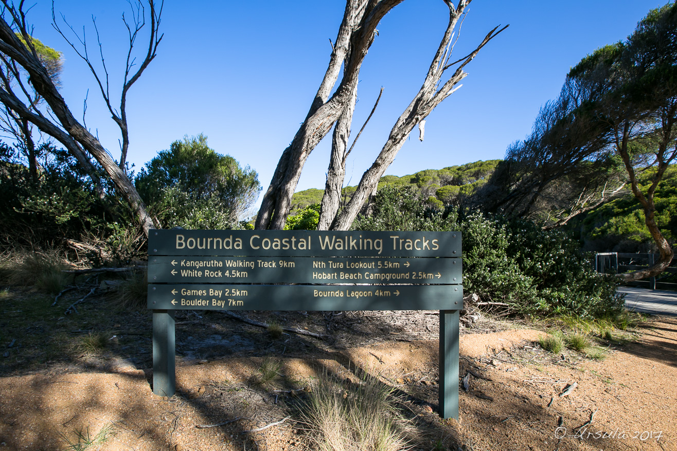
Walking Track 7508

Rocky Beach 3313

Boulders in the Bay 7449

Rock Pools at Rocky Beach 3314

Wallagoot Gap 7509

Wallagoot Gap 3355

The Other Side

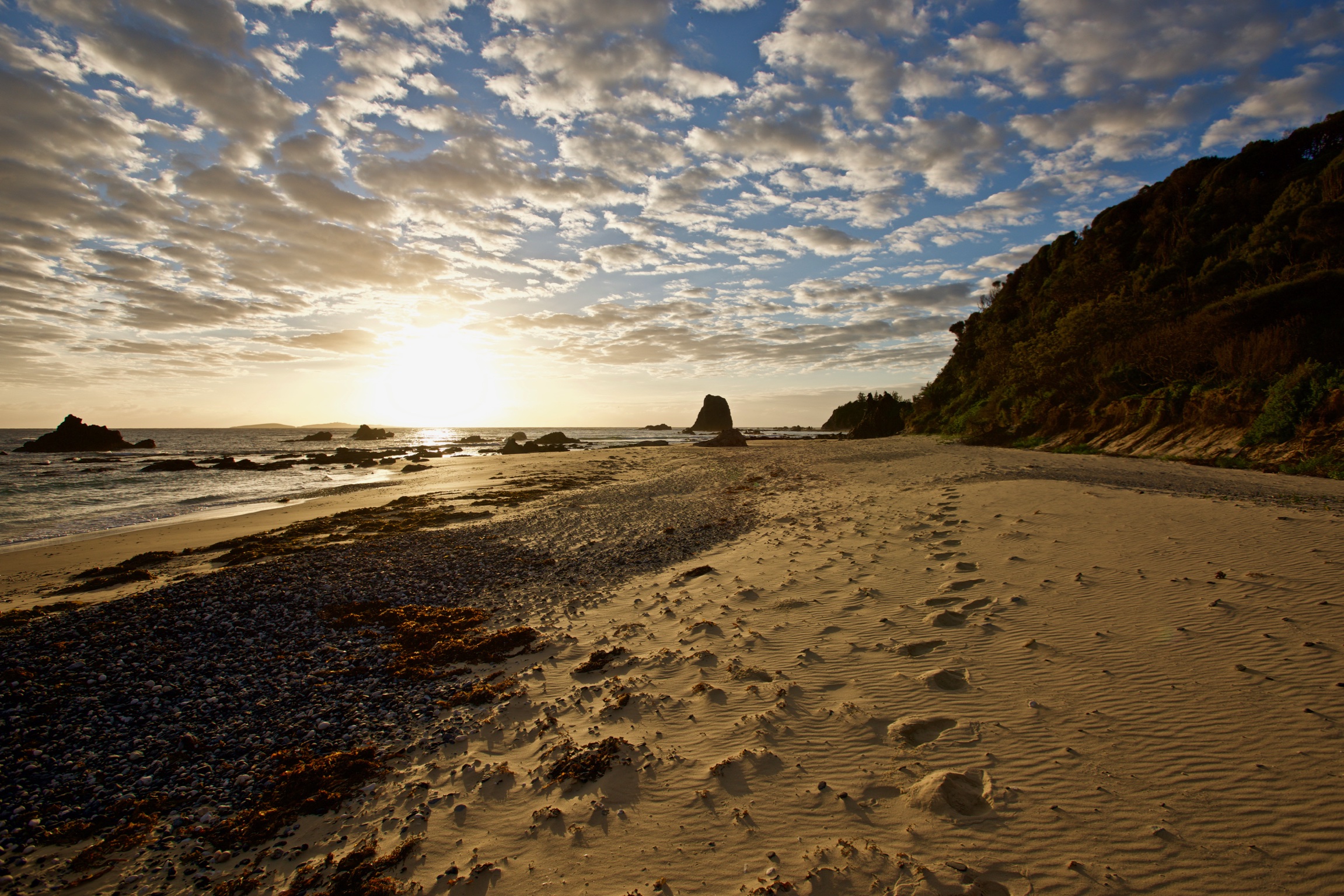
Tathra Dawn

Tathra Dawn (3)
Jellat Jellat

Some favourite rocks

Crusty sand

Moon shine at dusk

Gentle wave

Pacific surge
Prickly beach

Kianinny guardian

Change approaching

Bournda Island
Topographic Map of Tathra NSW, Australia
Find elevation by address:

Places near Tathra NSW, Australia:
12 Park Ln
Bega
Merimbula
105 Merimbula Dr
Themeda
519 Towridgee Ln
Bega Valley Shire Council
Eden
Tantawangalo
1466 Tantawangalo Mountain Rd
1466 Tantawangalo Mountain Rd
Bemboka
41 Parkes St
Big Jack Mountain Road
Kellys Mountain Road
Bombala
Rockton
Bombala Council
Mallacoota
Wingan River
Recent Searches:
- Elevation of Corso Fratelli Cairoli, 35, Macerata MC, Italy
- Elevation of Tallevast Rd, Sarasota, FL, USA
- Elevation of 4th St E, Sonoma, CA, USA
- Elevation of Black Hollow Rd, Pennsdale, PA, USA
- Elevation of Oakland Ave, Williamsport, PA, USA
- Elevation of Pedrógão Grande, Portugal
- Elevation of Klee Dr, Martinsburg, WV, USA
- Elevation of Via Roma, Pieranica CR, Italy
- Elevation of Tavkvetili Mountain, Georgia
- Elevation of Hartfords Bluff Cir, Mt Pleasant, SC, USA