Elevation of Towridgee Ln, Toothdale NSW, Australia
Location: Australia > New South Wales > Bega Valley Shire Council >
Longitude: 149.725673
Latitude: -36.788919
Elevation: 199m / 653feet
Barometric Pressure: 99KPa
Elevation Map:
Satellite Map:
Related Photos:
Ischnura aurora female wings

Prickly beach

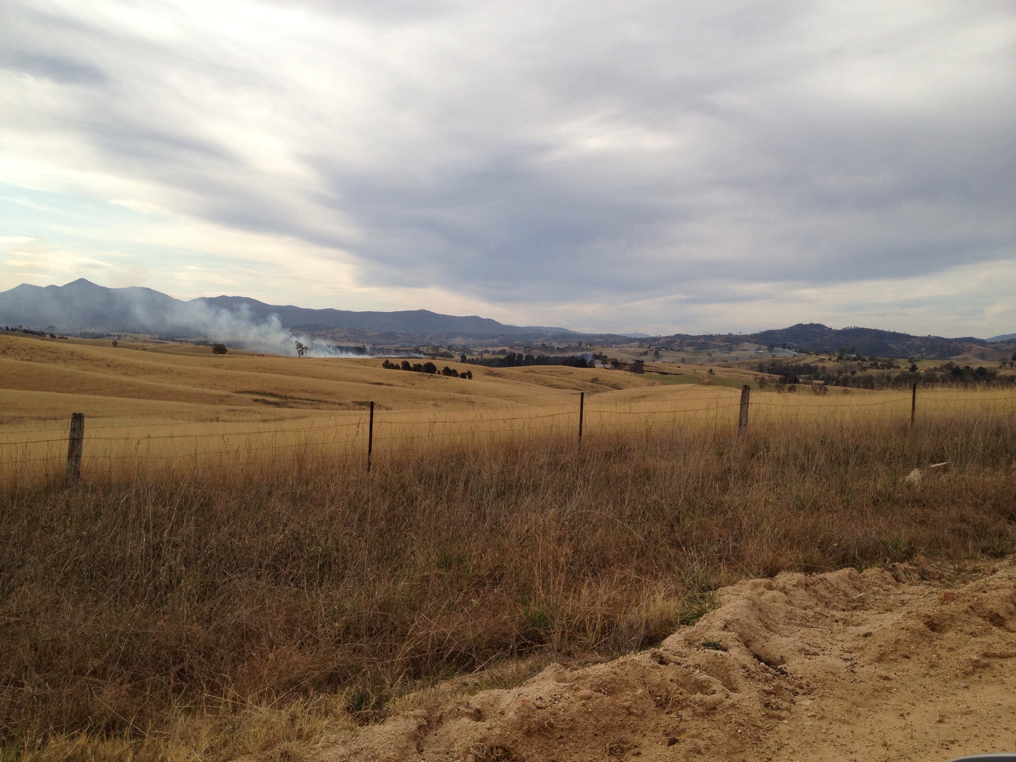
Thunder Head

Jalmenus evagoras
Shepherds Warning
Kemps Ln, Kameruka
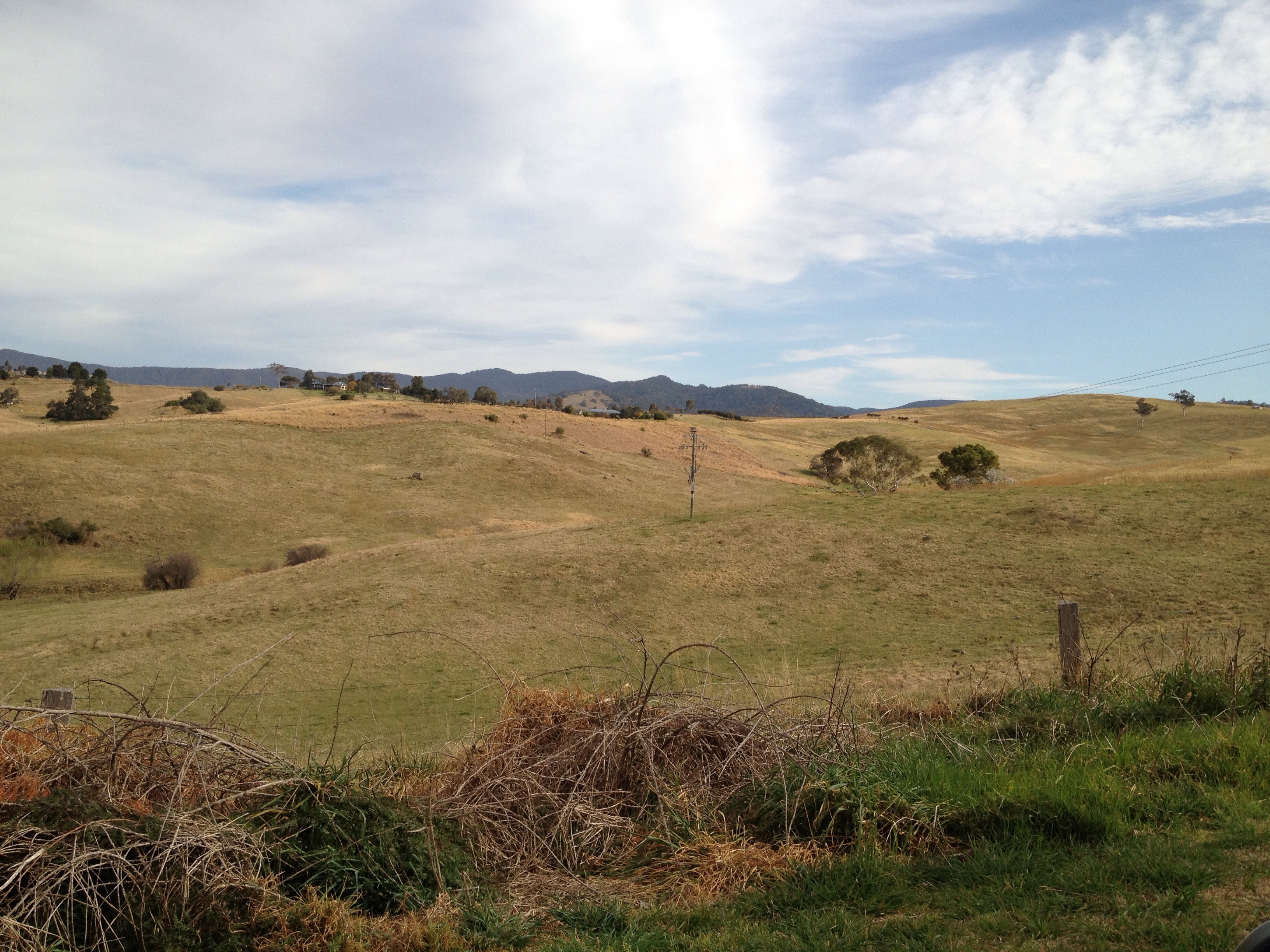
Candelo Rd, Candelo
Kemps Ln, Kameruka

Golden-headed Cisticola
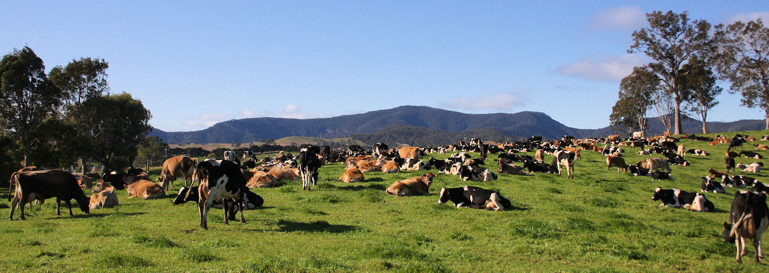
The herd
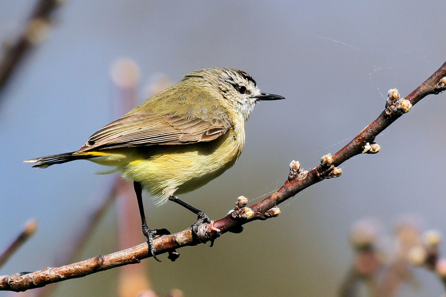
Yellow-rumped Thornbill

Sappire Coast NSW
Candelo St, Candelo
Topographic Map of Towridgee Ln, Toothdale NSW, Australia
Find elevation by address:

Places near Towridgee Ln, Toothdale NSW, Australia:
Themeda
Bega Valley Shire Council
Tantawangalo
1466 Tantawangalo Mountain Rd
1466 Tantawangalo Mountain Rd
Bega
12 Park Ln
105 Merimbula Dr
Merimbula
Bemboka
41 Parkes St
Tathra
Big Jack Mountain Road
Eden
Bombala
Kellys Mountain Road
Bombala Council
Rockton
Mallacoota
Wingan River
Recent Searches:
- Elevation of Corso Fratelli Cairoli, 35, Macerata MC, Italy
- Elevation of Tallevast Rd, Sarasota, FL, USA
- Elevation of 4th St E, Sonoma, CA, USA
- Elevation of Black Hollow Rd, Pennsdale, PA, USA
- Elevation of Oakland Ave, Williamsport, PA, USA
- Elevation of Pedrógão Grande, Portugal
- Elevation of Klee Dr, Martinsburg, WV, USA
- Elevation of Via Roma, Pieranica CR, Italy
- Elevation of Tavkvetili Mountain, Georgia
- Elevation of Hartfords Bluff Cir, Mt Pleasant, SC, USA