Elevation of Wingan River VIC, Australia
Location: Australia > Victoria >
Longitude: 149.453502
Latitude: -37.545156
Elevation: 104m / 341feet
Barometric Pressure: 100KPa
Elevation Map:
Satellite Map:
Related Photos:
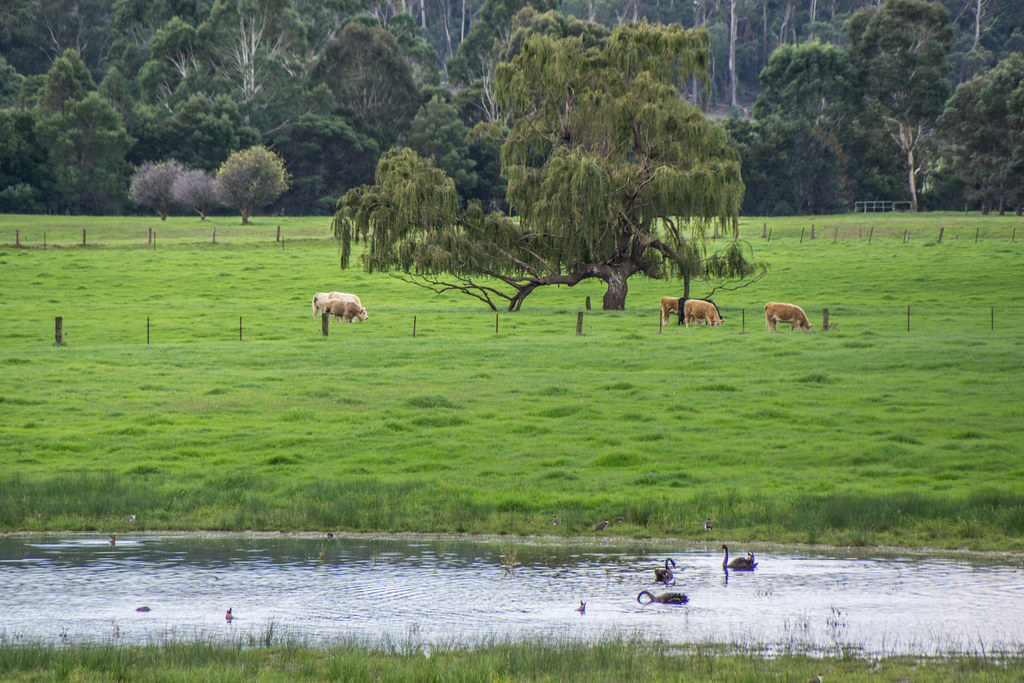
Genoa Former Alignmnent
Genoa Former Alignment

Genoa Falls
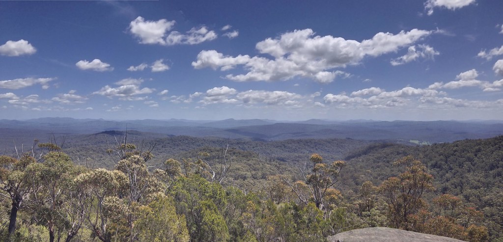
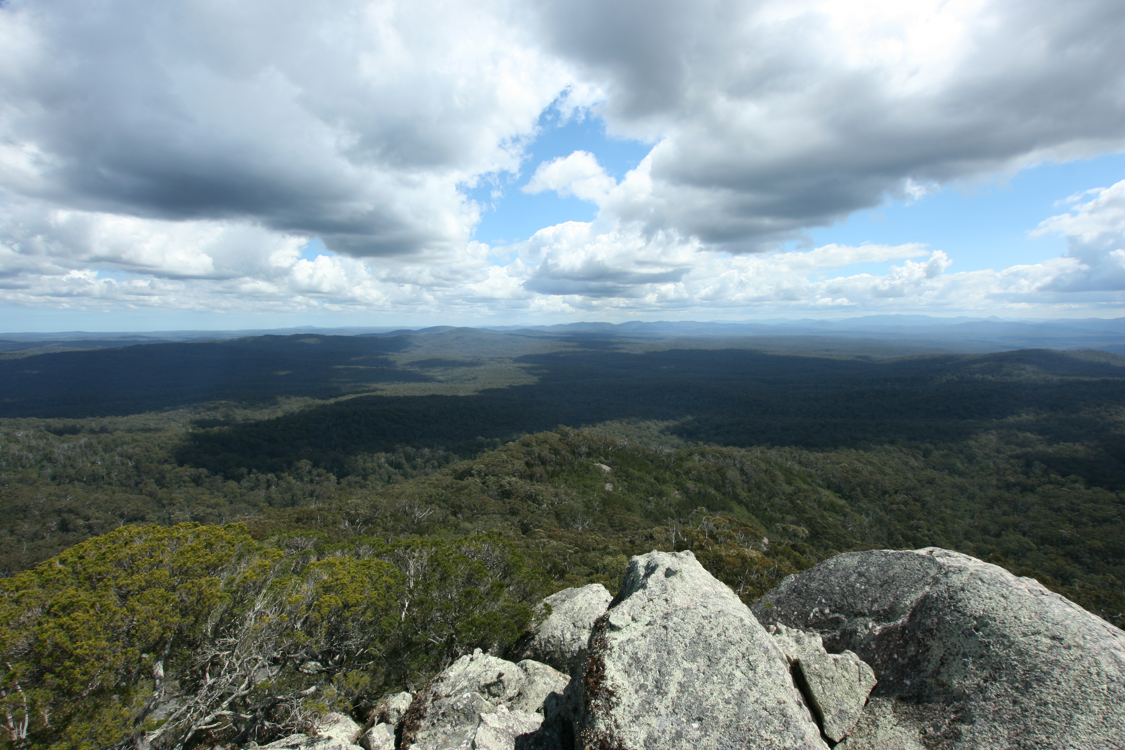
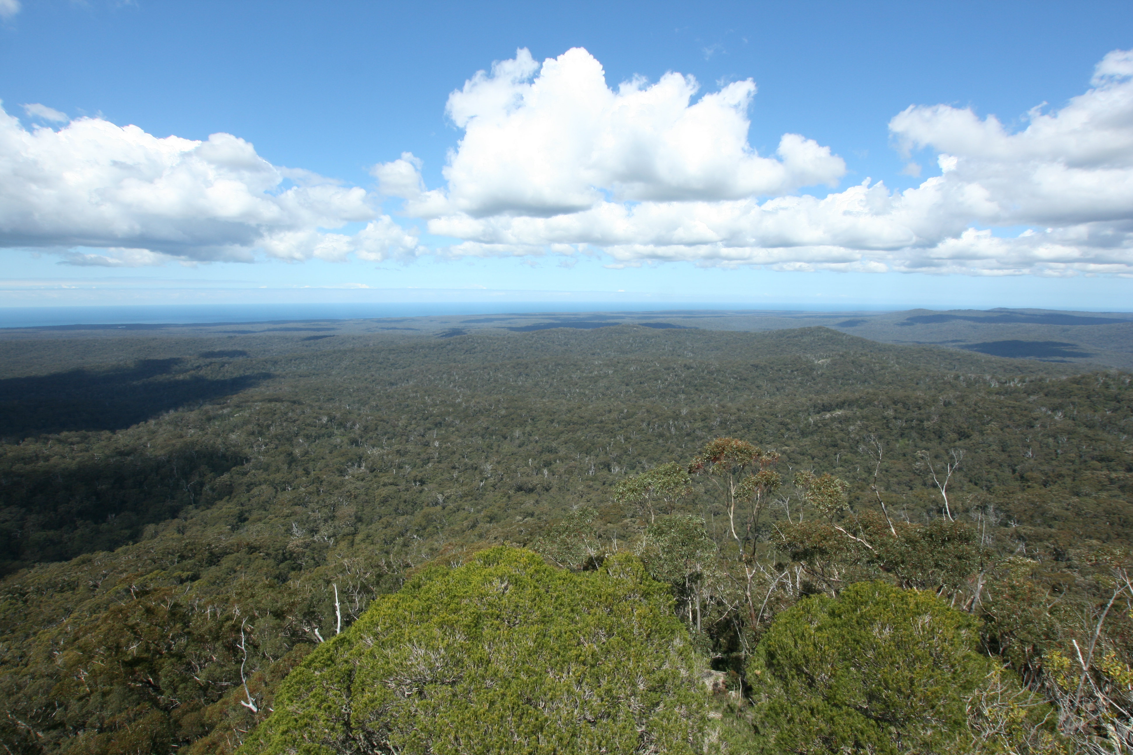
Genoa Peak Pano
Gypsy Point
Genoa Peak (26) Lookout
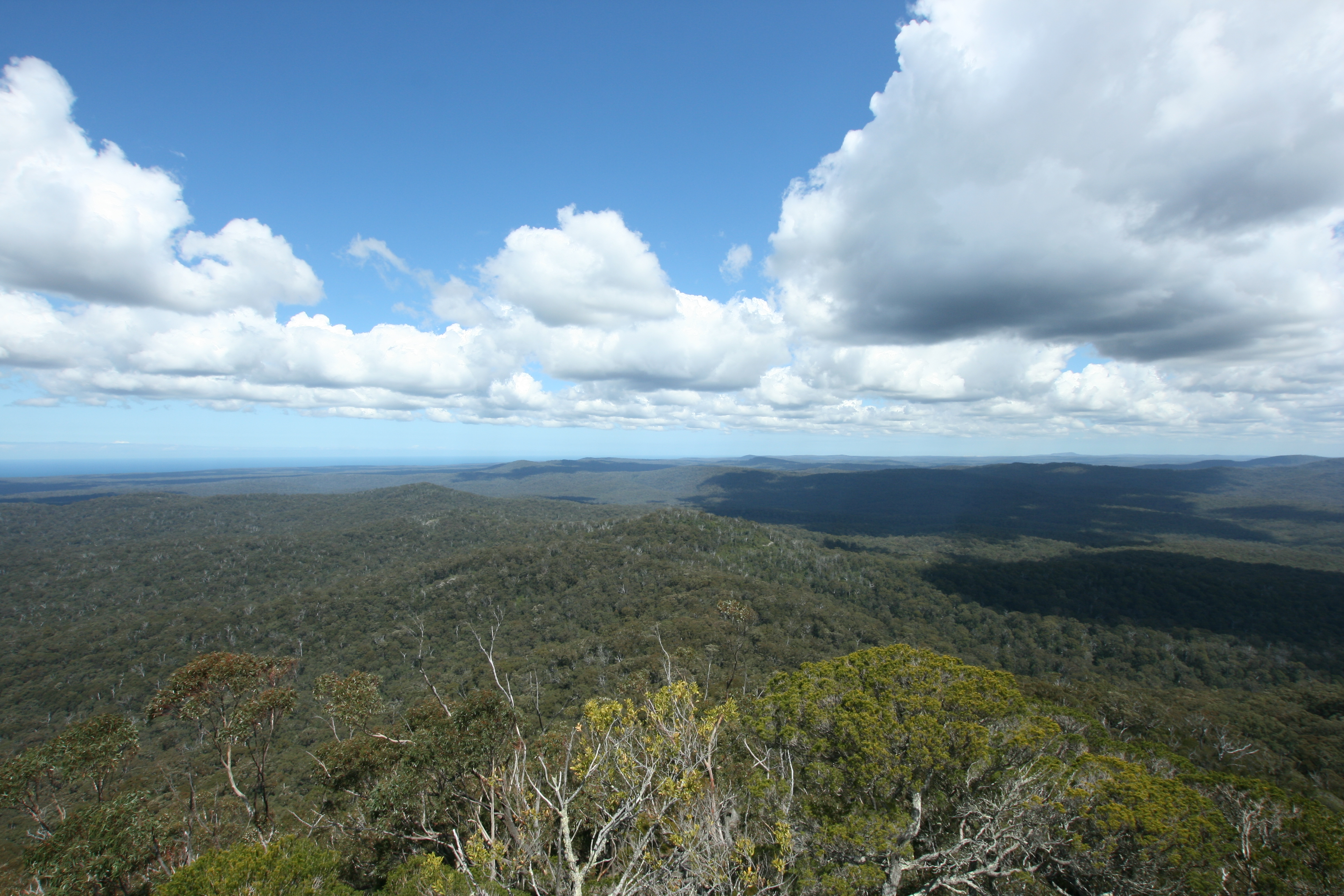
Genoa Peak (25) Lookout
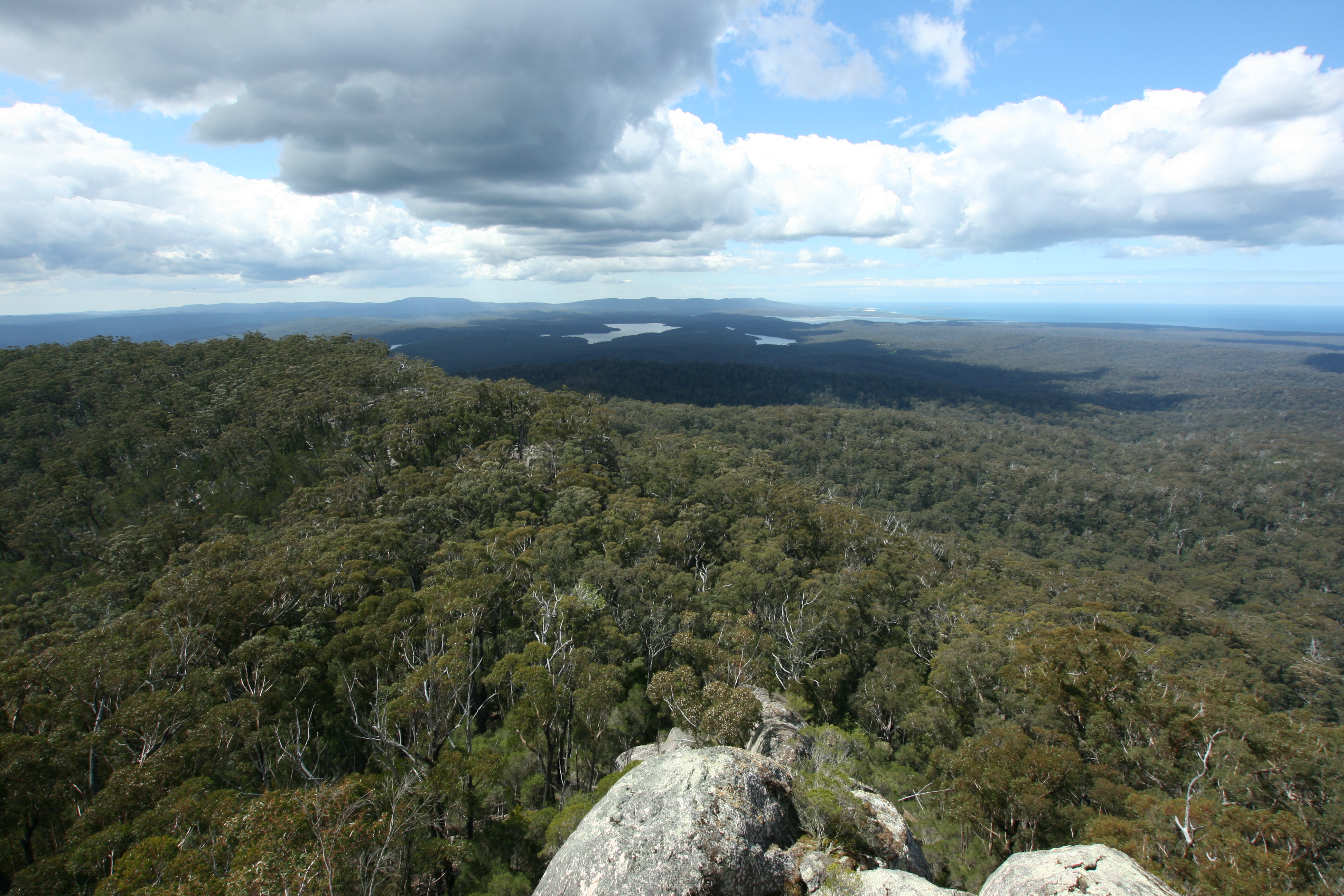
Genoa Peak (24) Lookout
On a Road
Genoa Peak (23) Lookout

Genoa Falls
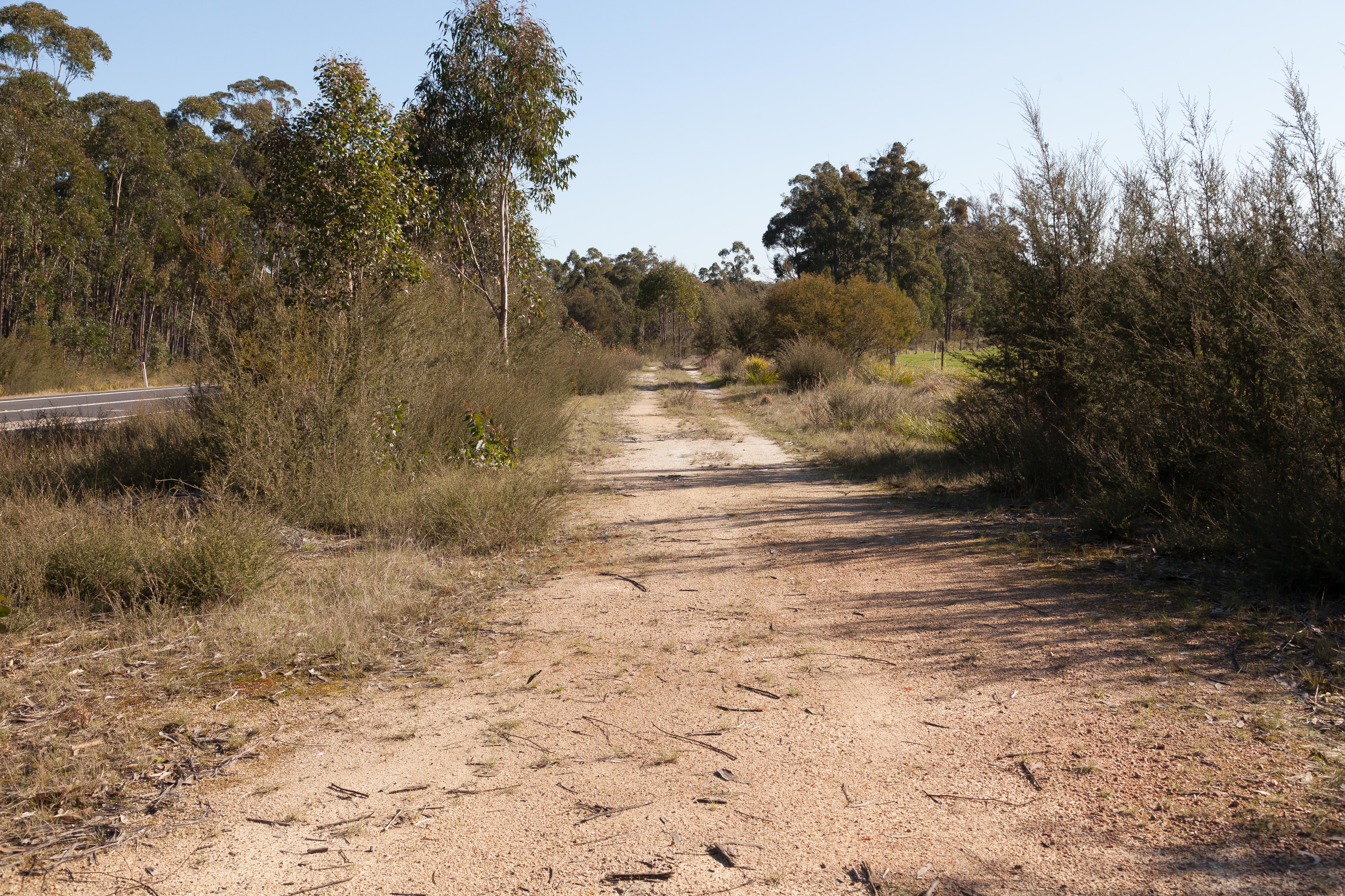
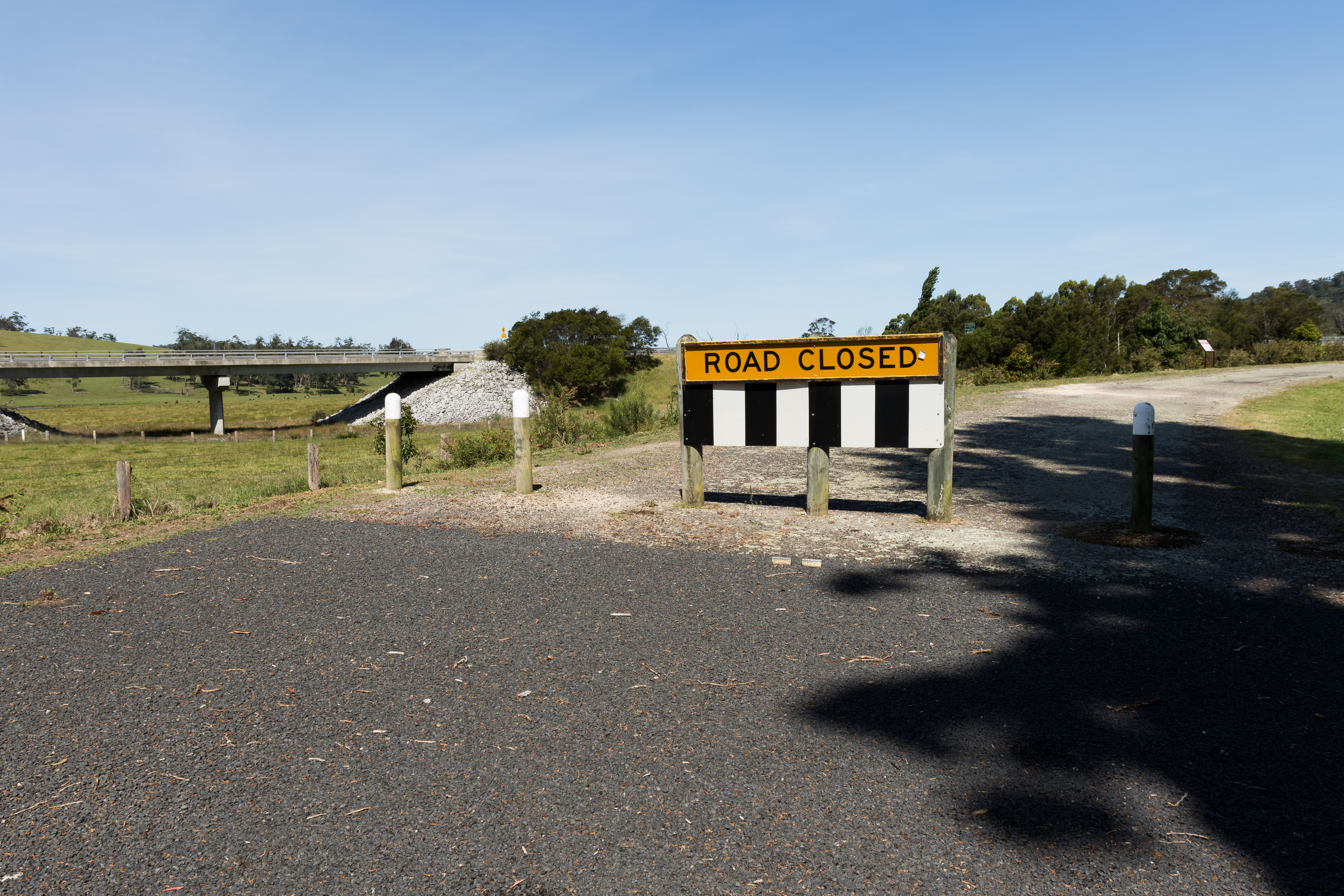
Wingan River Former Alignment 1
Topographic Map of Wingan River VIC, Australia
Find elevation by address:

Places in Wingan River VIC, Australia:
Places near Wingan River VIC, Australia:
Gales Hill Track
Mallacoota
Rockton
Kellys Mountain Road
Big Jack Mountain Road
Eden
Bombala Council
Bombala
1466 Tantawangalo Mountain Rd
1466 Tantawangalo Mountain Rd
Tantawangalo
105 Merimbula Dr
Merimbula
519 Towridgee Ln
Themeda
Bega Valley Shire Council
41 Parkes St
Bemboka
Bega
12 Park Ln
Recent Searches:
- Elevation of Corso Fratelli Cairoli, 35, Macerata MC, Italy
- Elevation of Tallevast Rd, Sarasota, FL, USA
- Elevation of 4th St E, Sonoma, CA, USA
- Elevation of Black Hollow Rd, Pennsdale, PA, USA
- Elevation of Oakland Ave, Williamsport, PA, USA
- Elevation of Pedrógão Grande, Portugal
- Elevation of Klee Dr, Martinsburg, WV, USA
- Elevation of Via Roma, Pieranica CR, Italy
- Elevation of Tavkvetili Mountain, Georgia
- Elevation of Hartfords Bluff Cir, Mt Pleasant, SC, USA