Elevation of Kellys Mountain Road, Kellys Mountain Rd, Rockton NSW, Australia
Location: Australia > New South Wales > Bombala Council > Rockton >
Longitude: 149.345986
Latitude: -37.125318
Elevation: 665m / 2182feet
Barometric Pressure: 94KPa
Elevation Map:
Satellite Map:
Related Photos:
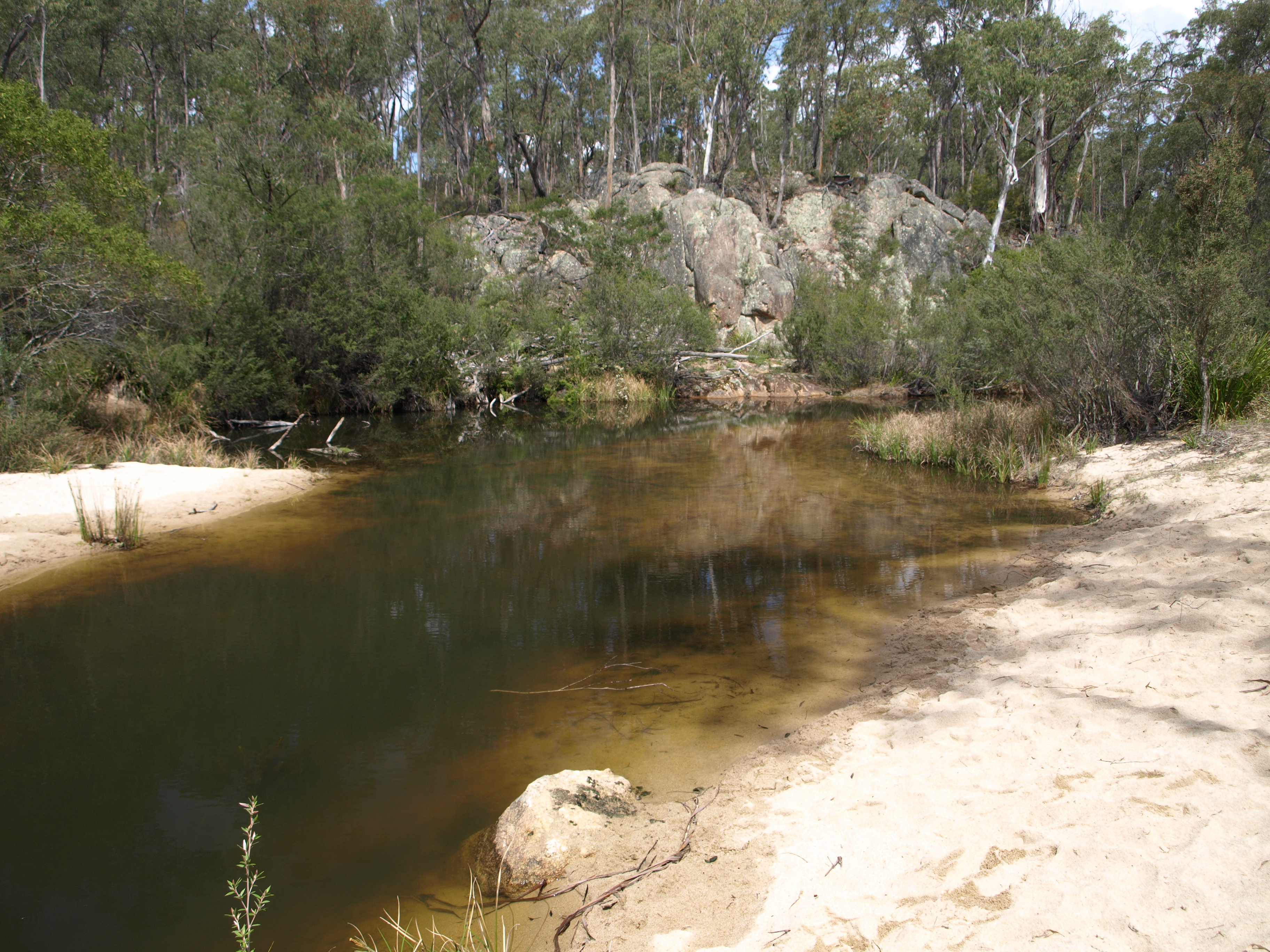
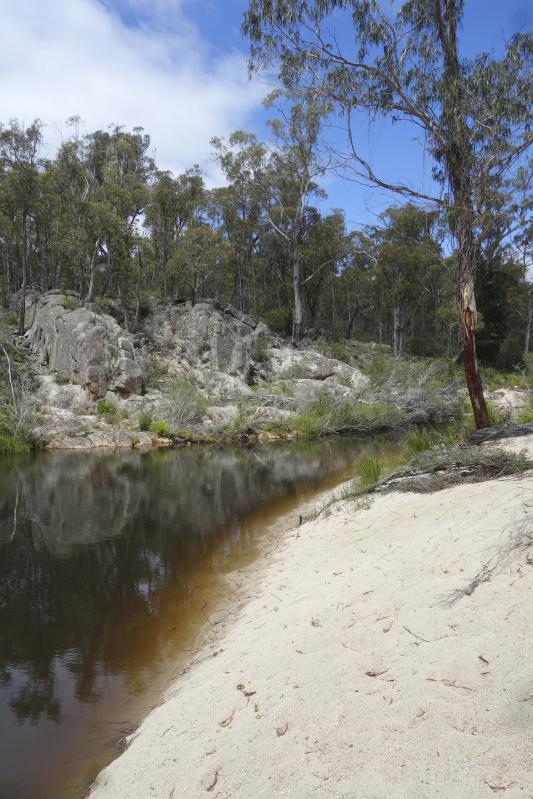
White Rock River
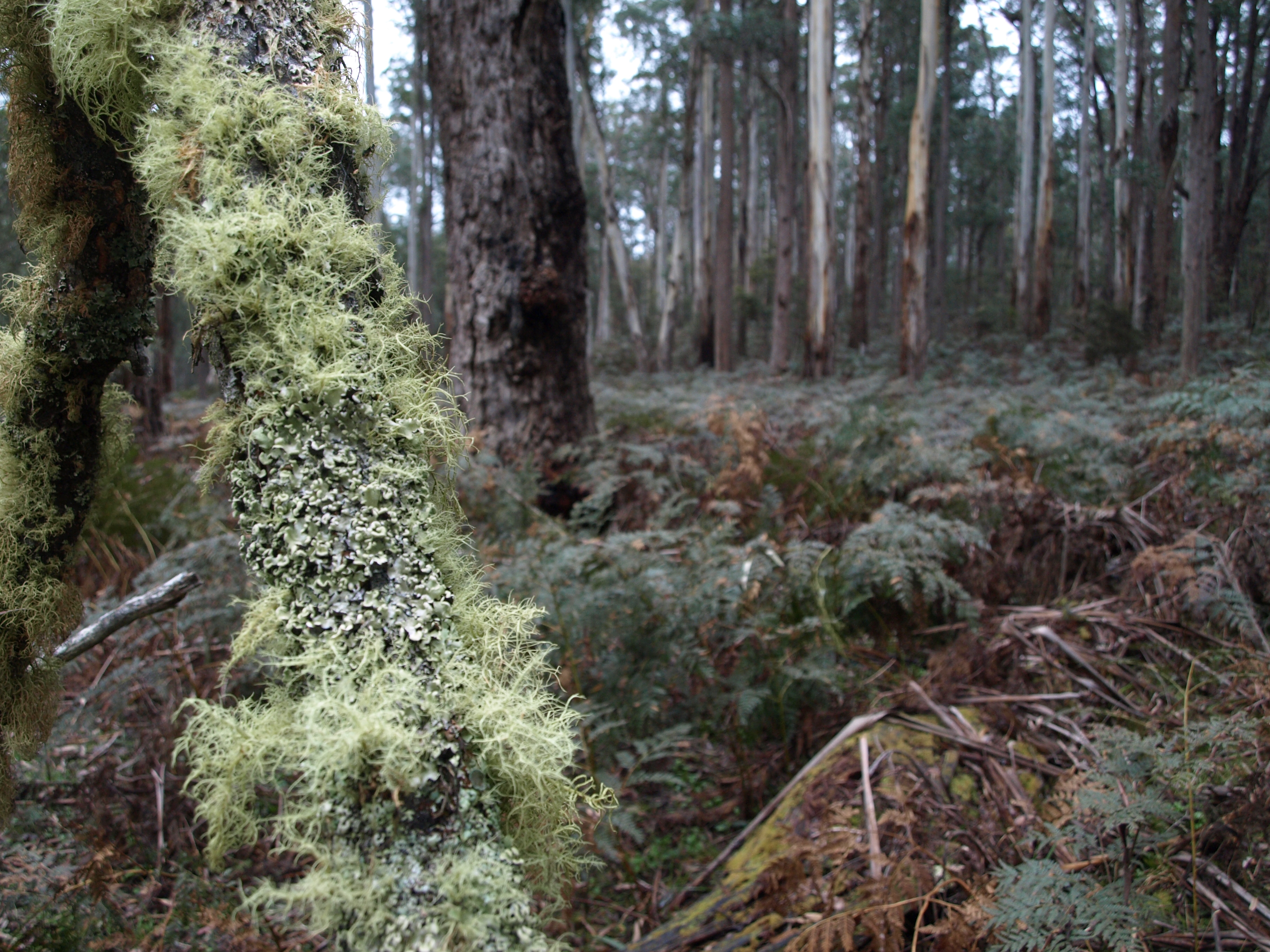
Waratah Gully
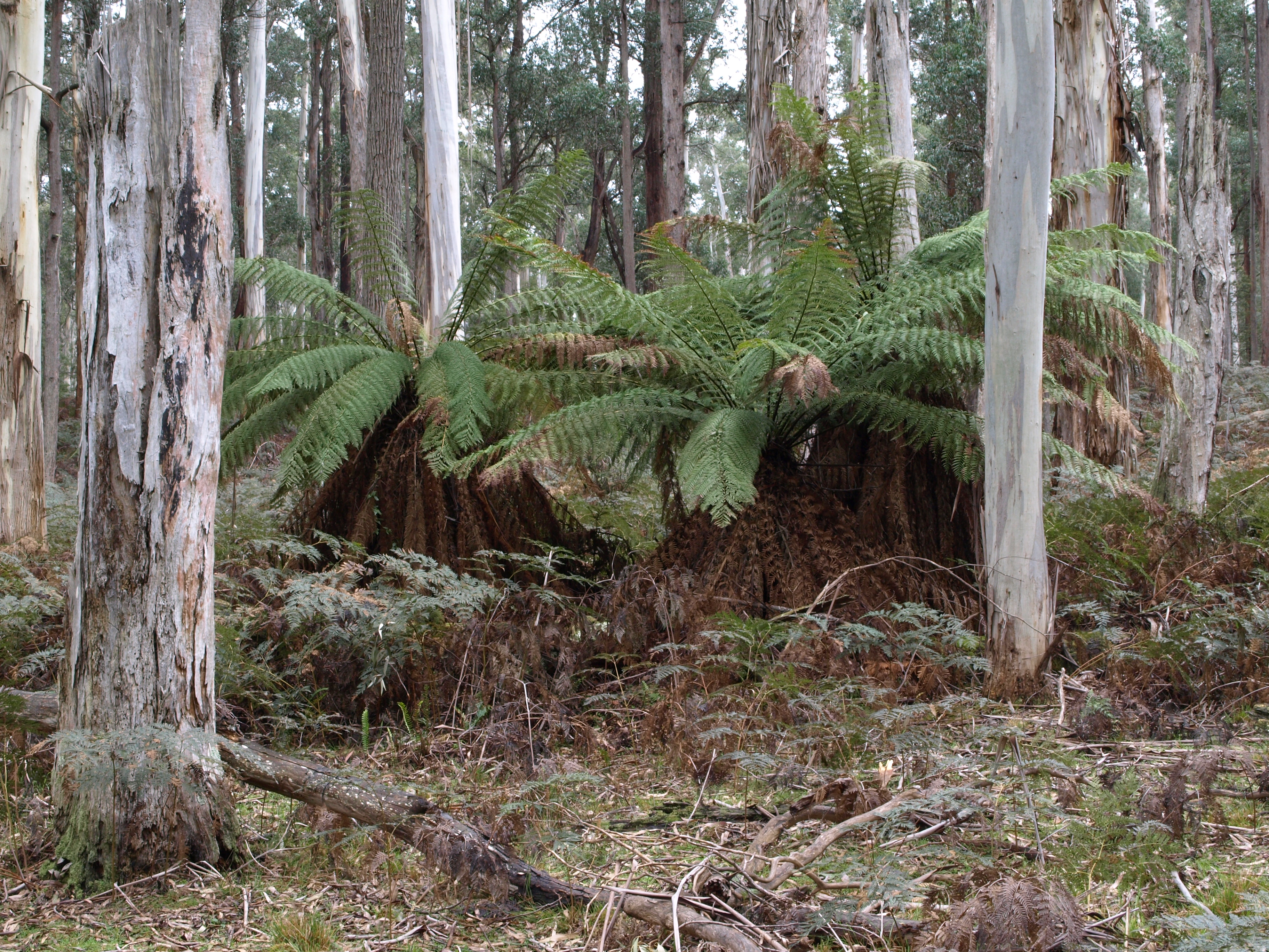
Waratah Gully
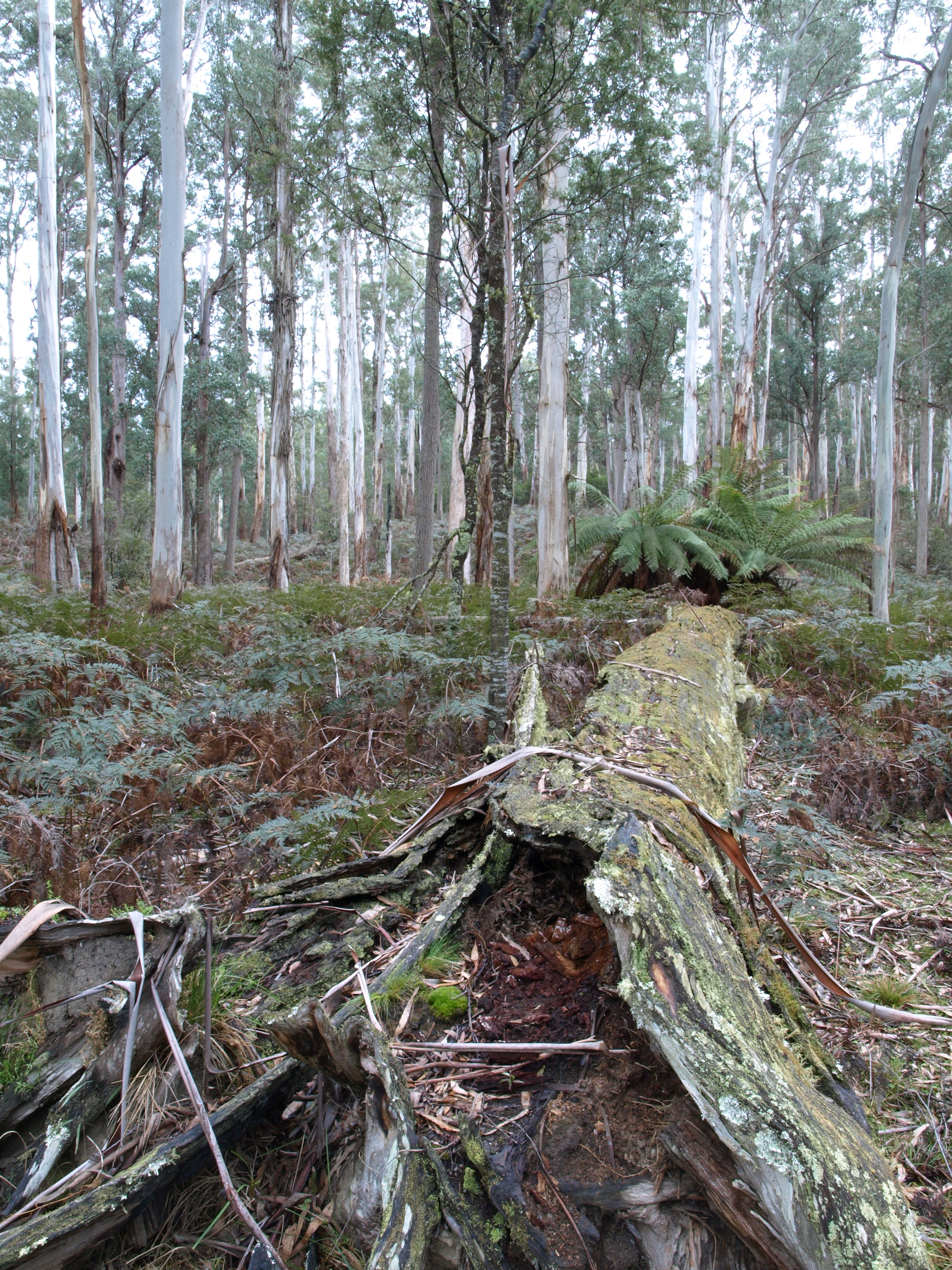
Waratah Gully
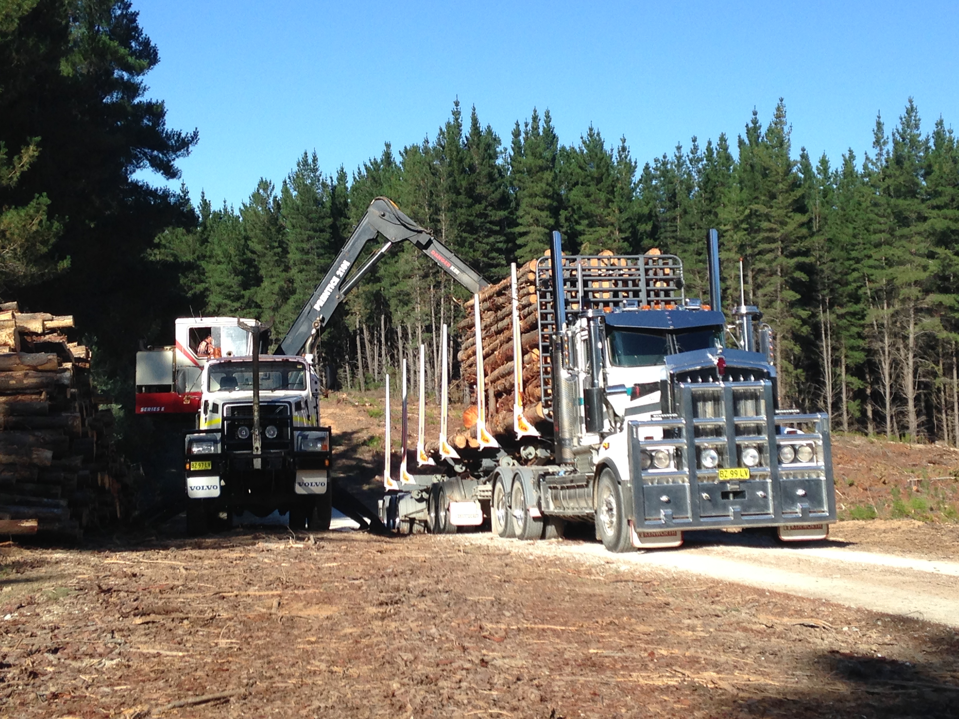
South East Forest National Park
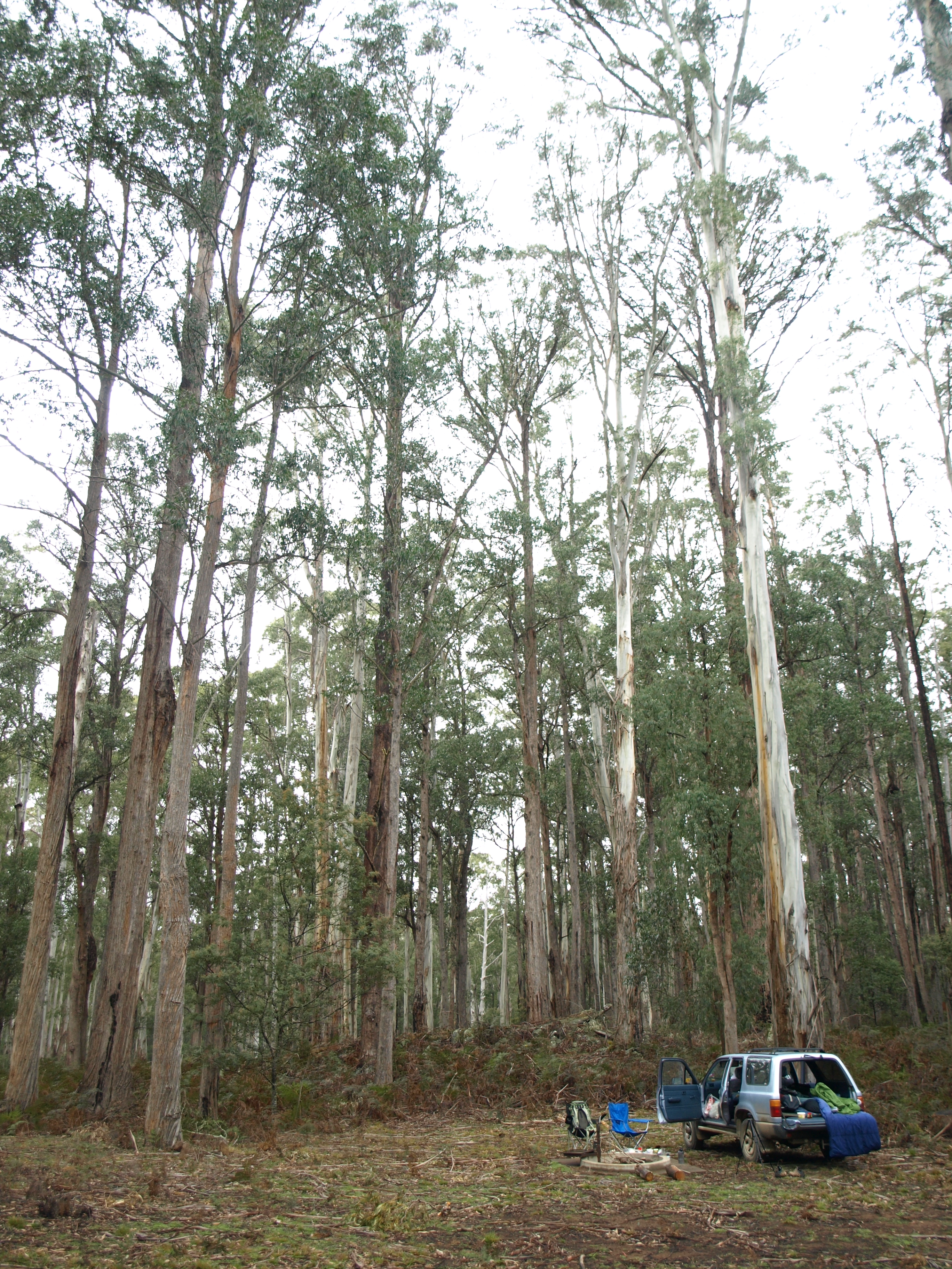
Waratah Gully
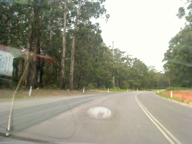
Sunny days
2009-12-05 16-05
2009-12-05 15-55
2009-12-05 15-45
Topographic Map of Kellys Mountain Road, Kellys Mountain Rd, Rockton NSW, Australia
Find elevation by address:

Places near Kellys Mountain Road, Kellys Mountain Rd, Rockton NSW, Australia:
Rockton
Bombala Council
Bombala
Big Jack Mountain Road
1466 Tantawangalo Mountain Rd
1466 Tantawangalo Mountain Rd
Tantawangalo
Wingan River
519 Towridgee Ln
Themeda
Bega Valley Shire Council
41 Parkes St
Bemboka
Eden
Mallacoota
105 Merimbula Dr
Merimbula
Gales Hill Track
Bega
12 Park Ln
Recent Searches:
- Elevation of Corso Fratelli Cairoli, 35, Macerata MC, Italy
- Elevation of Tallevast Rd, Sarasota, FL, USA
- Elevation of 4th St E, Sonoma, CA, USA
- Elevation of Black Hollow Rd, Pennsdale, PA, USA
- Elevation of Oakland Ave, Williamsport, PA, USA
- Elevation of Pedrógão Grande, Portugal
- Elevation of Klee Dr, Martinsburg, WV, USA
- Elevation of Via Roma, Pieranica CR, Italy
- Elevation of Tavkvetili Mountain, Georgia
- Elevation of Hartfords Bluff Cir, Mt Pleasant, SC, USA