Elevation of Taft Hwy, Williamstown, KY, USA
Location: United States > Kentucky > Grant County > Williamstown >
Longitude: -84.6729302
Latitude: 38.6583543
Elevation: 218m / 715feet
Barometric Pressure: 0KPa
Related Photos:
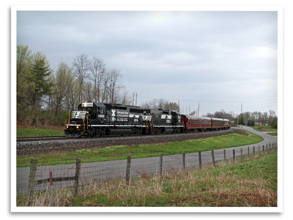
Operation Lifesaver

Sunset 2003 a

#whoosh rushing to catch the light of shorter winter days

Sunset 2003

Fun n the Sun
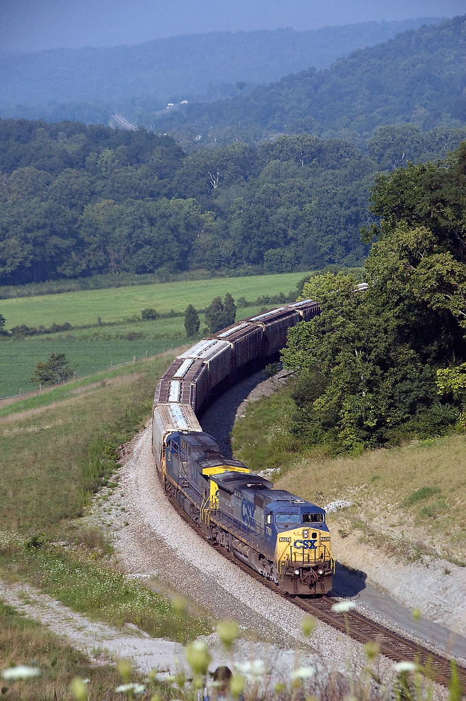
NB @ Glencoe KY 9/6/09
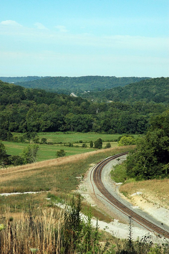
Glencoe KY Tunnell has been Daylighted!

Glencoe KY Tunnell has been Daylighted!
2016 October 6, Leaving the Ark Nikon D5000
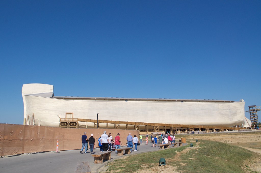
2016 October 6, Leaving the Ark Nikon D5000

c2016 October 6, Inside Noah Ark????????Iphone 6s

Flags of donors.
Topographic Map of Taft Hwy, Williamstown, KY, USA
Find elevation by address:

Places near Taft Hwy, Williamstown, KY, USA:
Taft Hwy, Dry Ridge, KY, USA
Grant County
11690 Jonesville Rd
Elliston Mt Zion Rd, Dry Ridge, KY, USA
Taft Hwy, Williamstown, KY, USA
Heekin Lawrenceville Rd, Williamstown, KY, USA
Dry Ridge
10000 Business Blvd
Jonesville
Elliston Mt Zion Rd, Dry Ridge, KY, USA
3965 Elliston Mt Zion Rd
204 Humes Ridge Rd
KY-36, Williamstown, KY, USA
610 N Main St
Williamstown
105 Falmouth St
US-25, Williamstown, KY, USA
546 Waterworks Rd
1365 Independence Pike
Crittenden
Recent Searches:
- Elevation of Pasing, Munich, Bavaria, 81241, Germany
- Elevation of 24, Auburn Bay Crescent SE, Auburn Bay, Calgary, Alberta, T3M 0A6, Canada
- Elevation of Denver, 2314, Arapahoe Street, Five Points, Denver, Colorado, 80205, USA
- Elevation of Community of the Beatitudes, 2924, West 43rd Avenue, Sunnyside, Denver, Colorado, 80211, USA
- Elevation map of Litang County, Sichuan, China
- Elevation map of Madoi County, Qinghai, China
- Elevation of 3314, Ohio State Route 114, Payne, Paulding County, Ohio, 45880, USA
- Elevation of Sarahills Drive, Saratoga, Santa Clara County, California, 95070, USA
- Elevation of Town of Bombay, Franklin County, New York, USA
- Elevation of 9, Convent Lane, Center Moriches, Suffolk County, New York, 11934, USA
- Elevation of Saint Angelas Convent, 9, Convent Lane, Center Moriches, Suffolk County, New York, 11934, USA
- Elevation of 131st Street Southwest, Mukilteo, Snohomish County, Washington, 98275, USA
- Elevation of 304, Harrison Road, Naples, Cumberland County, Maine, 04055, USA
- Elevation of 2362, Timber Ridge Road, Harrisburg, Cabarrus County, North Carolina, 28075, USA
- Elevation of Ridge Road, Marshalltown, Marshall County, Iowa, 50158, USA
- Elevation of 2459, Misty Shadows Drive, Pigeon Forge, Sevier County, Tennessee, 37862, USA
- Elevation of 8043, Brightwater Way, Spring Hill, Williamson County, Tennessee, 37179, USA
- Elevation of Starkweather Road, San Luis, Costilla County, Colorado, 81152, USA
- Elevation of 5277, Woodside Drive, Baton Rouge, East Baton Rouge Parish, Louisiana, 70808, USA
- Elevation of 1139, Curtin Street, Shepherd Park Plaza, Houston, Harris County, Texas, 77018, USA