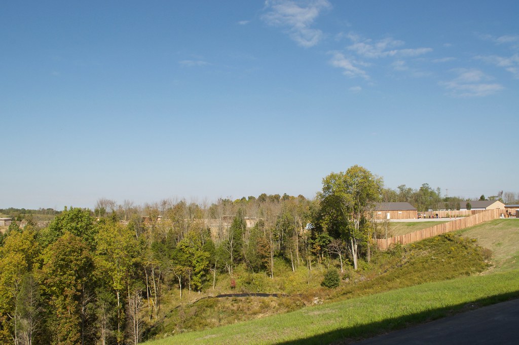
Elevation of Taft Hwy, Dry Ridge, KY, USA
Location: United States > Kentucky > Grant County > Dry Ridge >
Longitude: -84.679012
Latitude: 38.65708
Elevation: 246m / 807feet
Barometric Pressure: 98KPa
Elevation Map:
Satellite Map:
Related Photos:
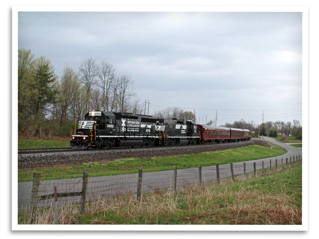
Operation Lifesaver

Sunset 2003 a

#whoosh rushing to catch the light of shorter winter days
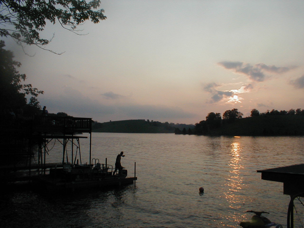
Sunset 2003

Fun n the Sun
NB @ Glencoe KY 9/6/09
Glencoe KY Tunnell has been Daylighted!

Glencoe KY Tunnell has been Daylighted!
2016 October 6, Leaving the Ark Nikon D5000
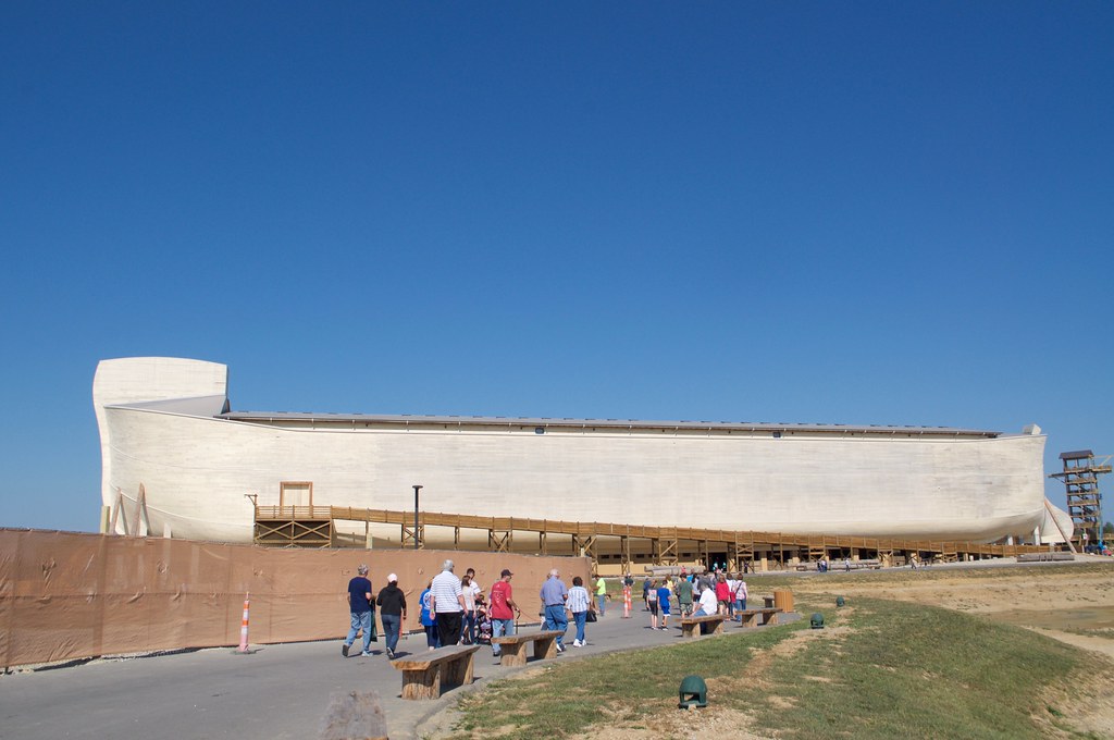
2016 October 6, Leaving the Ark Nikon D5000

c2016 October 6, Inside Noah Ark????????Iphone 6s

Flags of donors.
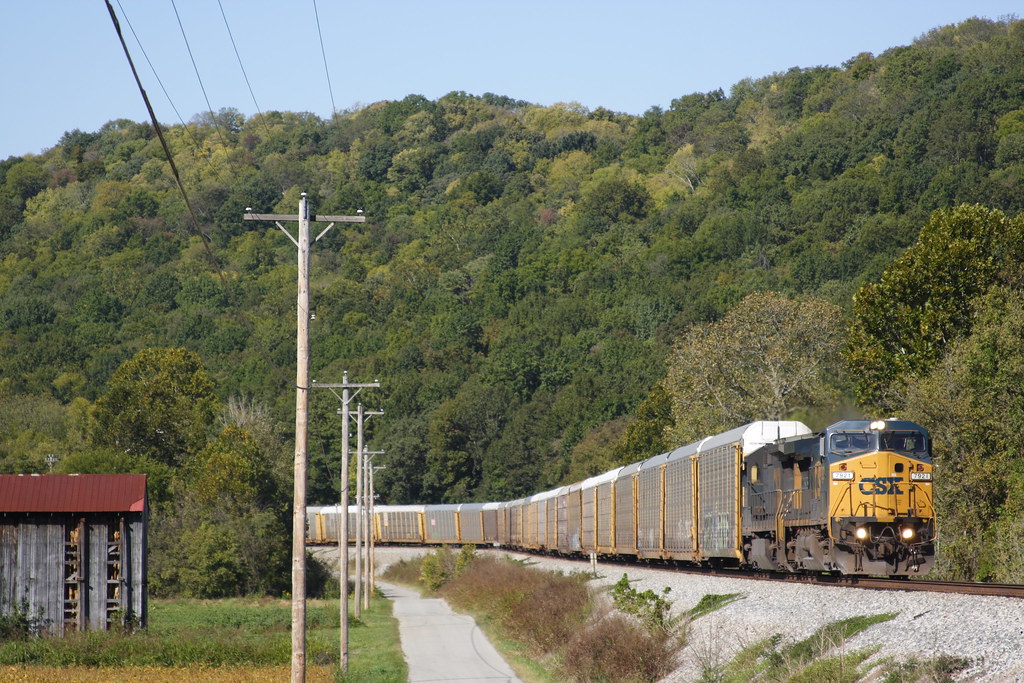
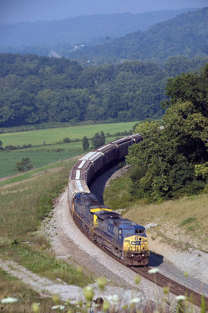
CSX Q26823
Mason - Ohio to Nashville - Tennessee - USA
Mason - Ohio to Nashville - Tennessee - USA
Topographic Map of Taft Hwy, Dry Ridge, KY, USA
Find elevation by address:

Places near Taft Hwy, Dry Ridge, KY, USA:
Taft Hwy, Williamstown, KY, USA
Grant County
11690 Jonesville Rd
Taft Hwy, Williamstown, KY, USA
Elliston Mt Zion Rd, Dry Ridge, KY, USA
Heekin Lawrenceville Rd, Williamstown, KY, USA
Dry Ridge
Jonesville
10000 Business Blvd
Elliston Mt Zion Rd, Dry Ridge, KY, USA
3965 Elliston Mt Zion Rd
204 Humes Ridge Rd
KY-36, Williamstown, KY, USA
610 N Main St
Williamstown
105 Falmouth St
US-25, Williamstown, KY, USA
546 Waterworks Rd
Stagecoach
1365 Independence Pike
Recent Searches:
- Elevation of Corso Fratelli Cairoli, 35, Macerata MC, Italy
- Elevation of Tallevast Rd, Sarasota, FL, USA
- Elevation of 4th St E, Sonoma, CA, USA
- Elevation of Black Hollow Rd, Pennsdale, PA, USA
- Elevation of Oakland Ave, Williamsport, PA, USA
- Elevation of Pedrógão Grande, Portugal
- Elevation of Klee Dr, Martinsburg, WV, USA
- Elevation of Via Roma, Pieranica CR, Italy
- Elevation of Tavkvetili Mountain, Georgia
- Elevation of Hartfords Bluff Cir, Mt Pleasant, SC, USA