Elevation of Williamstown, KY, USA
Location: United States > Kentucky > Grant County >
Longitude: -84.560497
Latitude: 38.6381245
Elevation: 297m / 974feet
Barometric Pressure: 98KPa
Elevation Map:
Satellite Map:
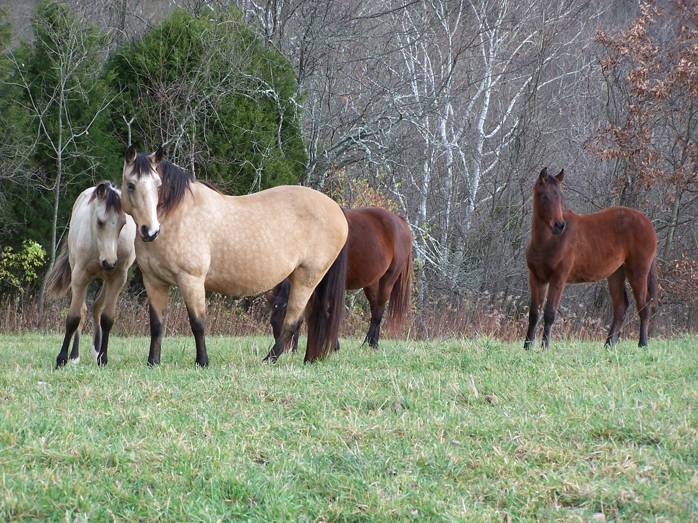
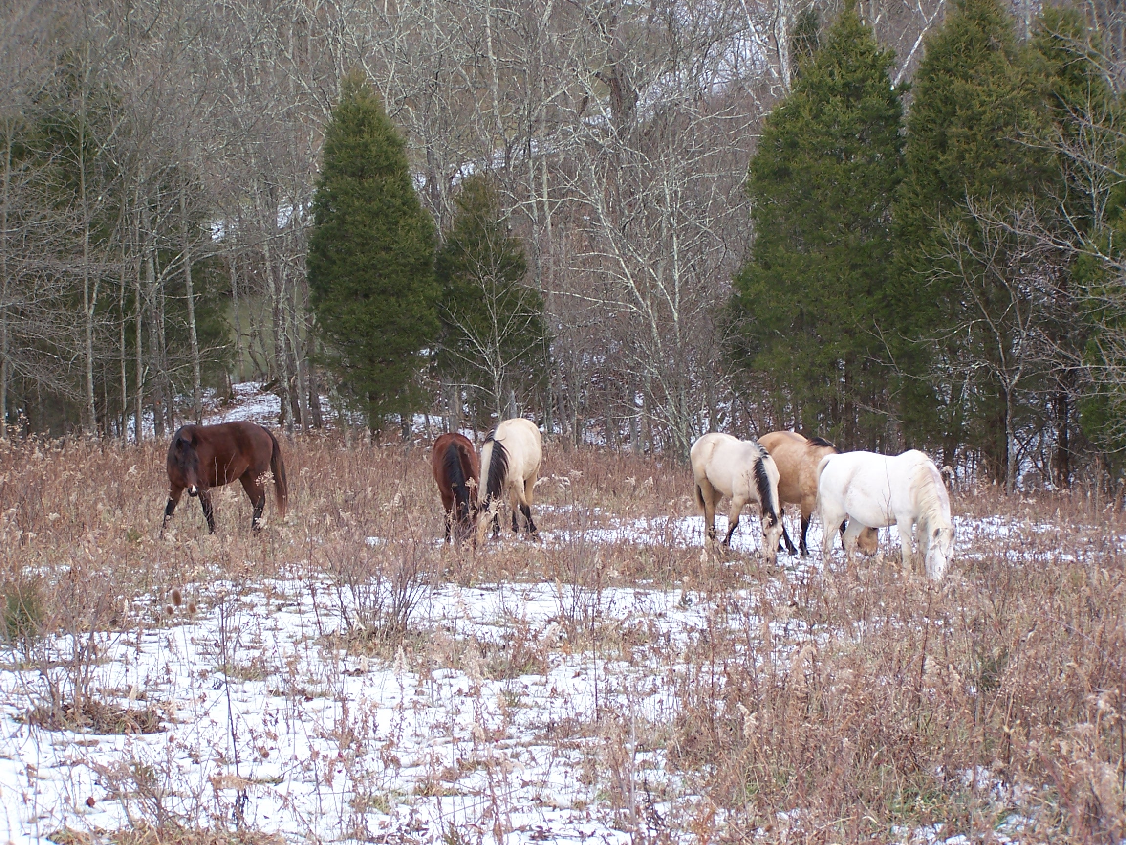
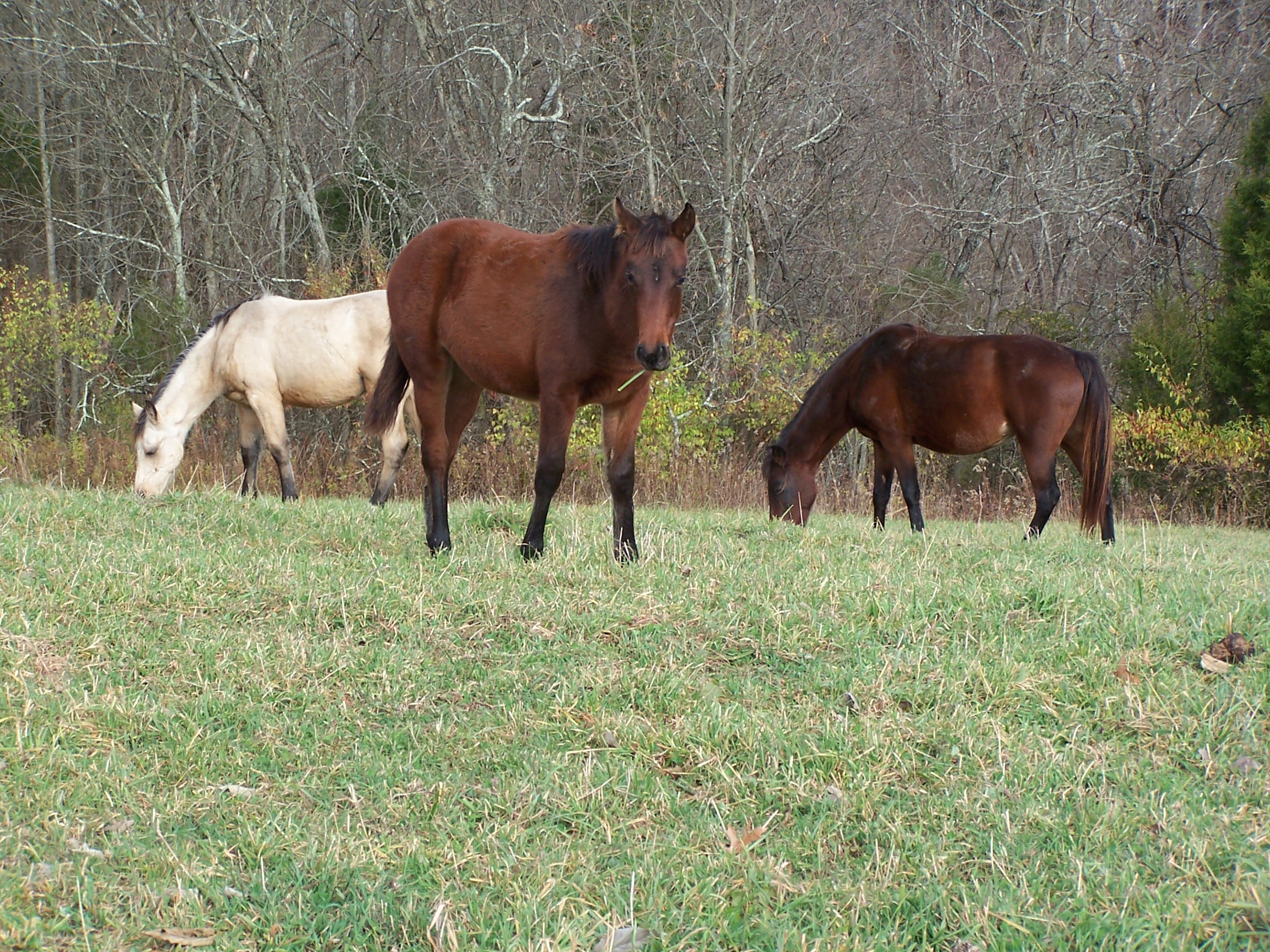
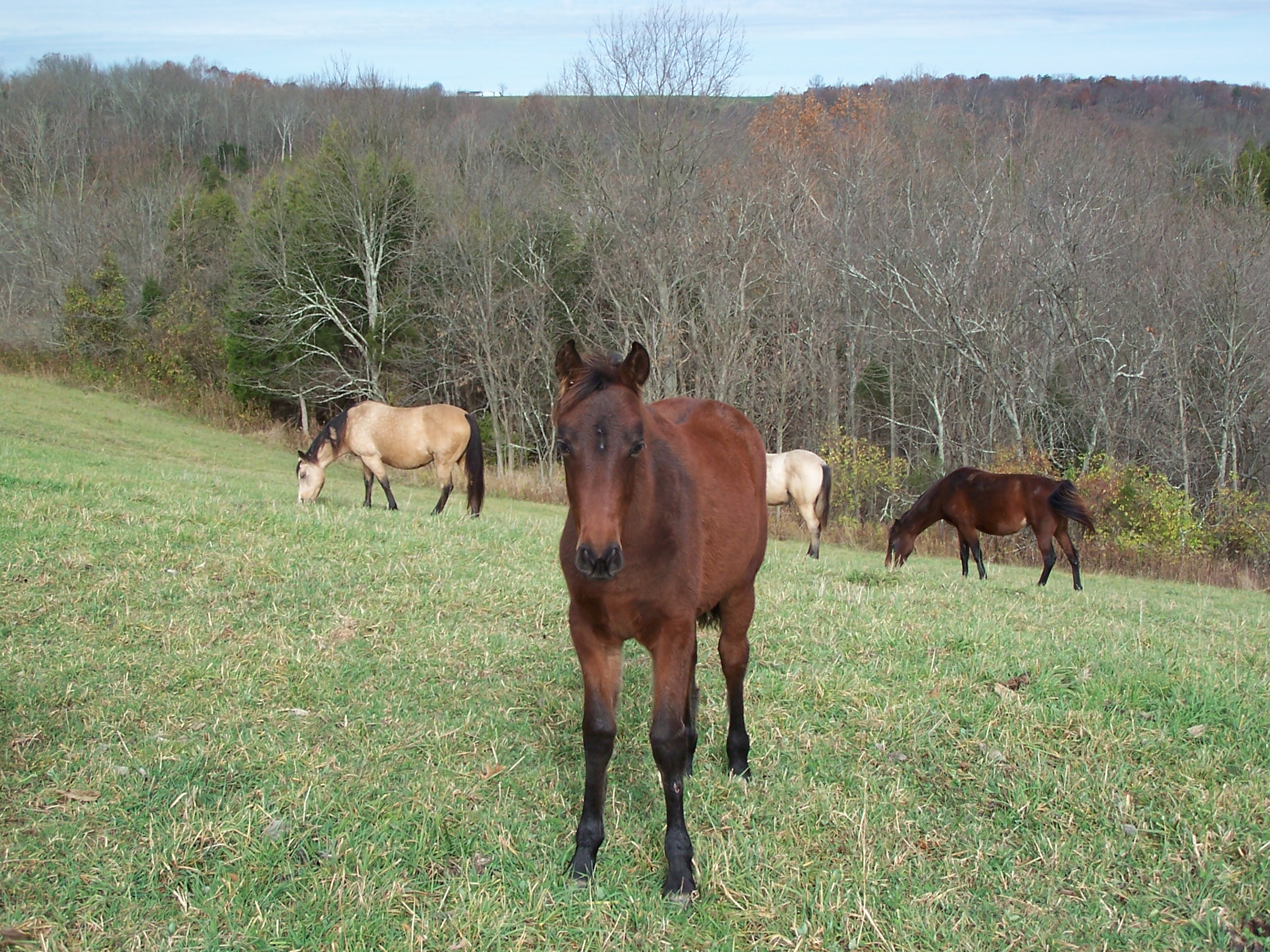
Related Photos:
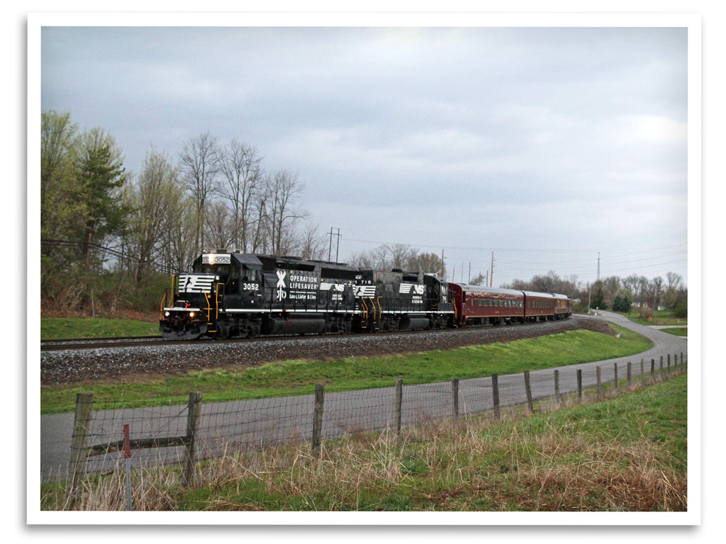
Operation Lifesaver
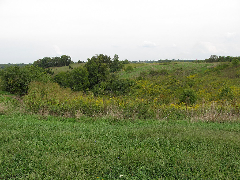
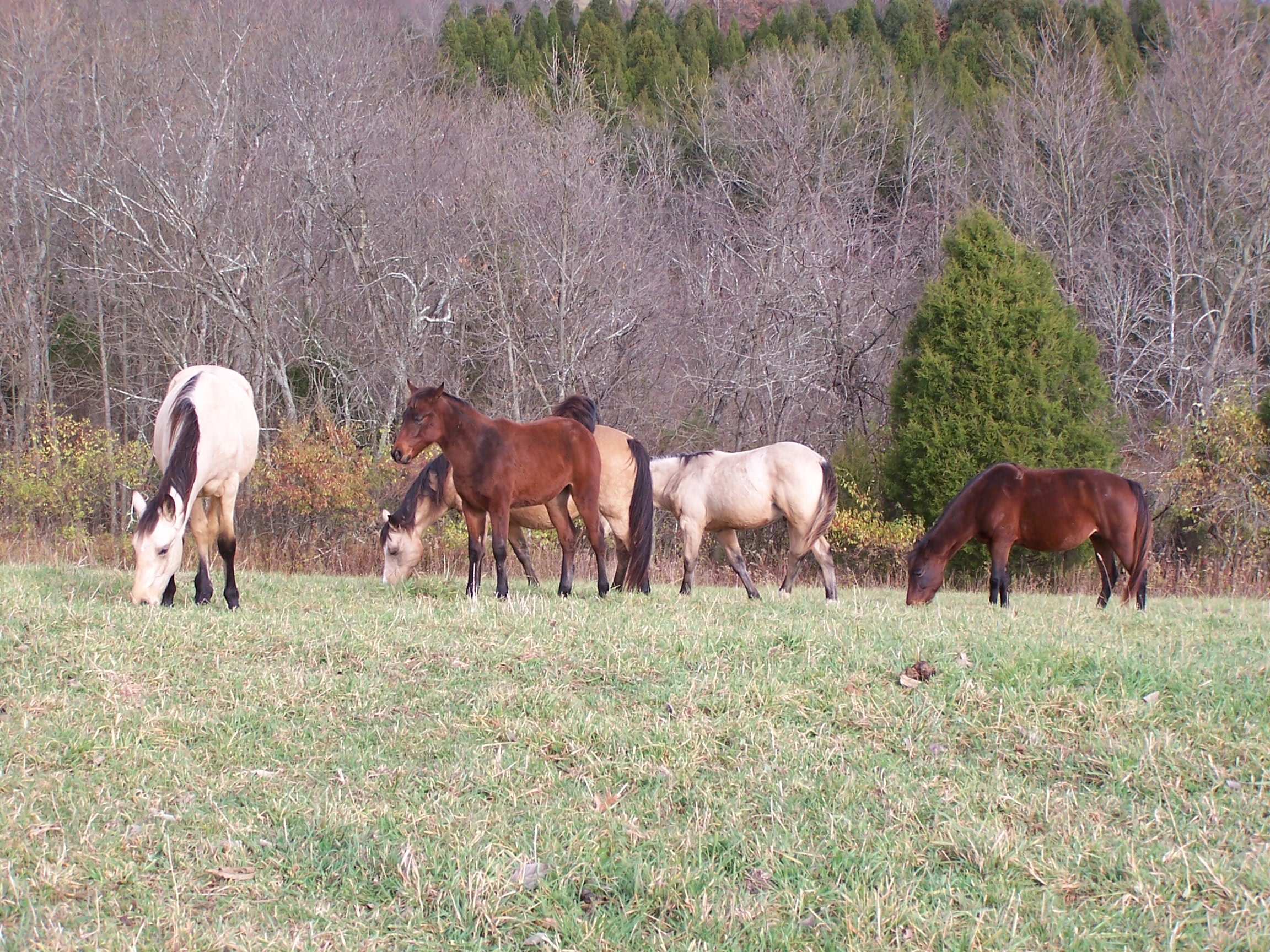
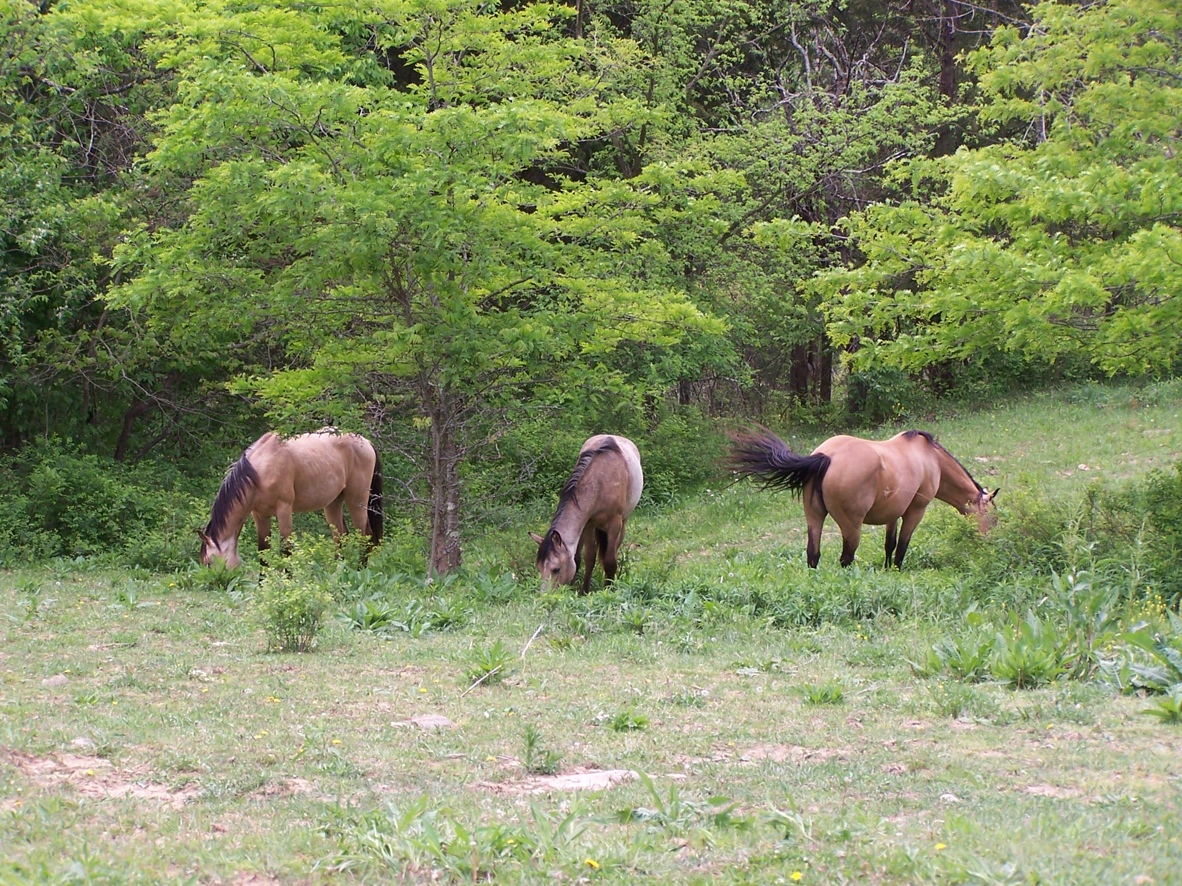
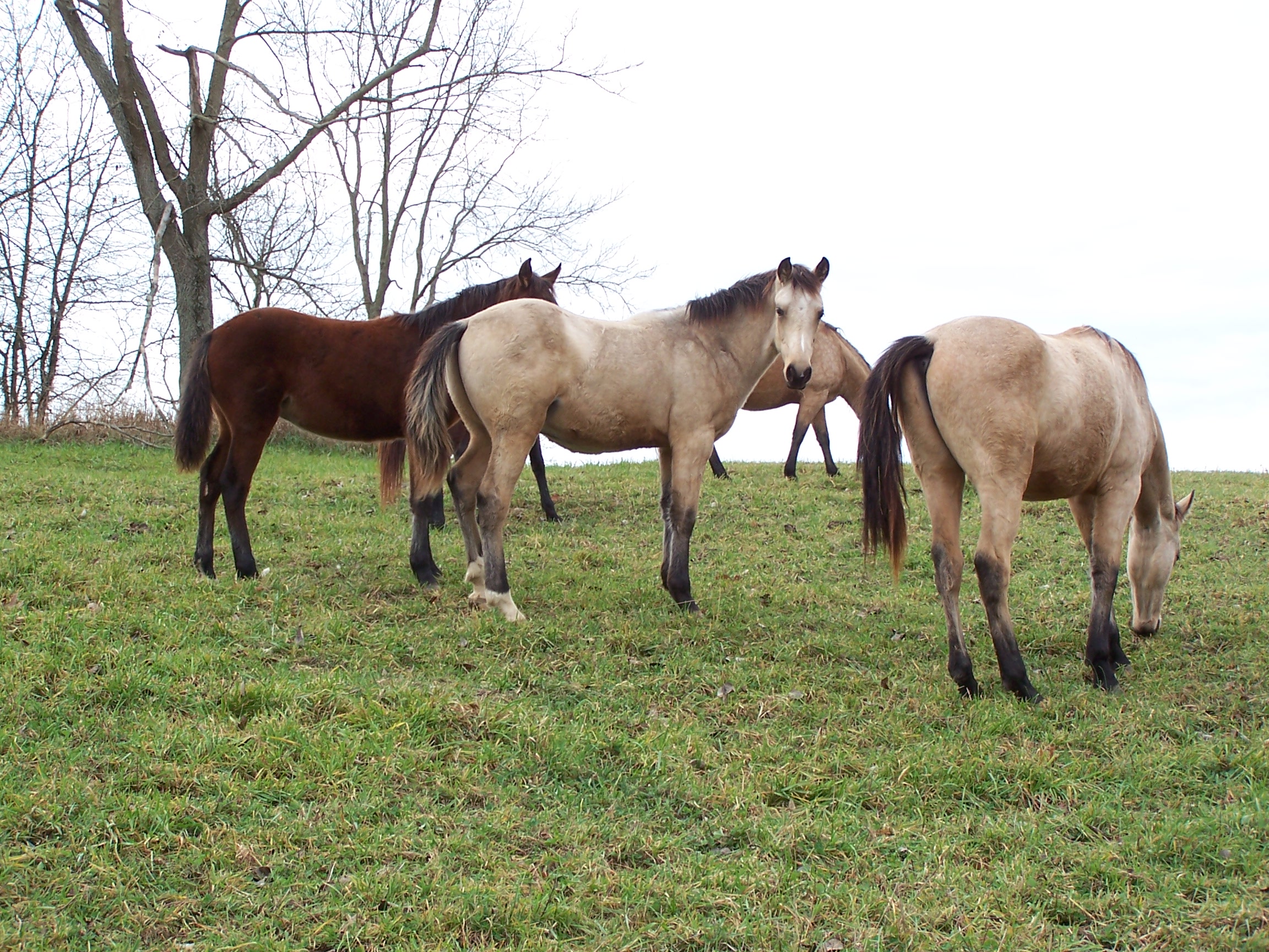
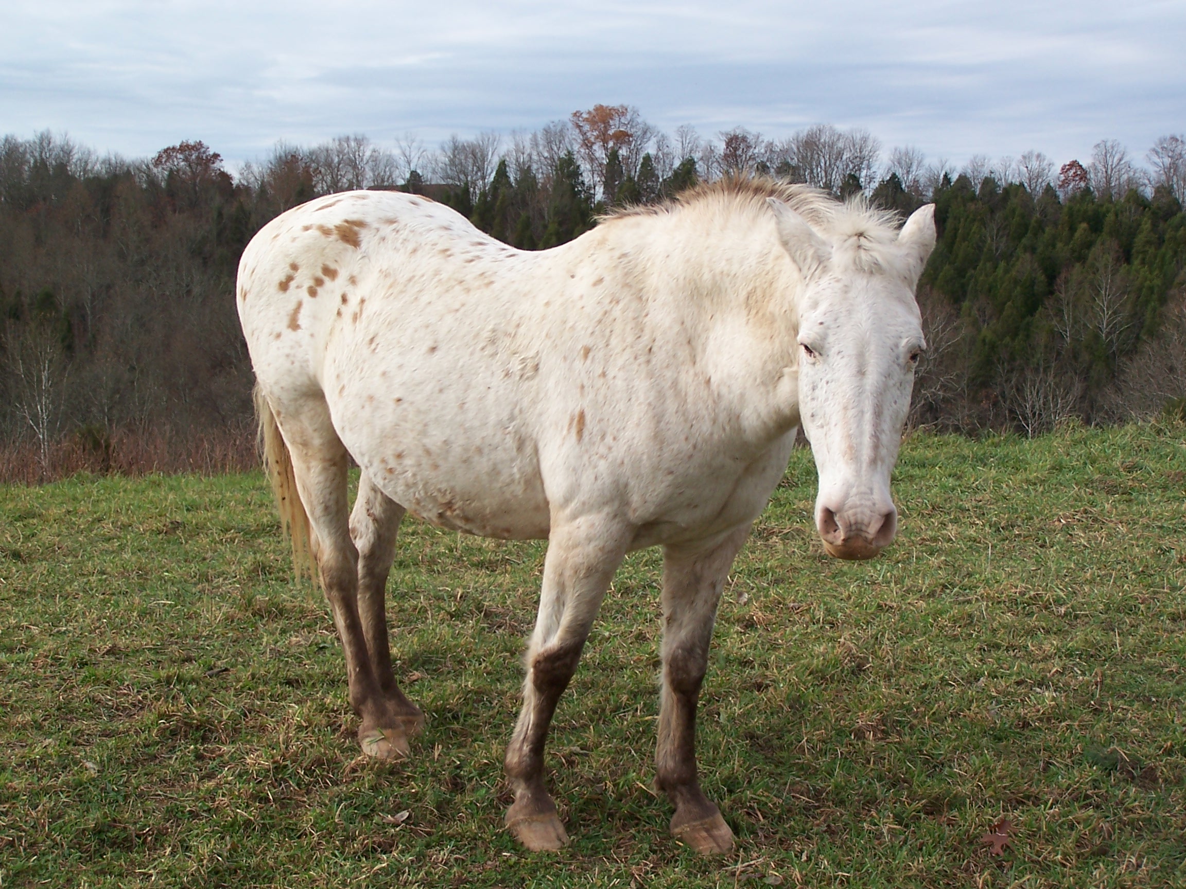
Rolling Hills

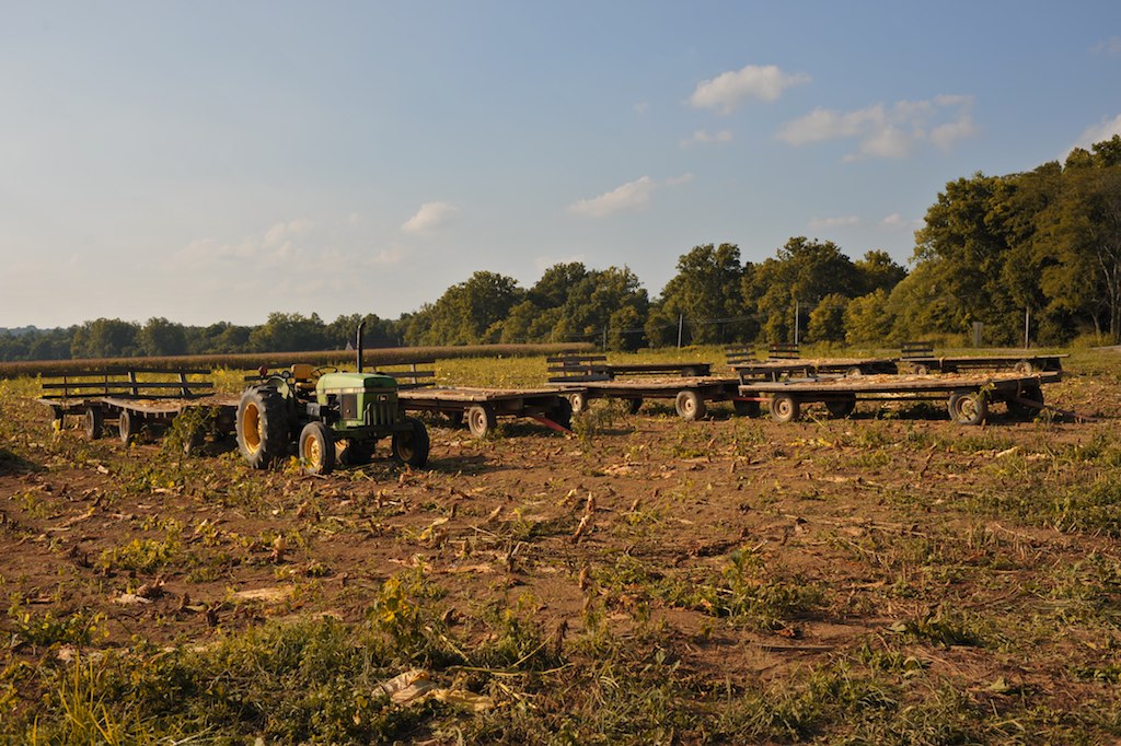
Tobacco on the stake

#whoosh rushing to catch the light of shorter winter days
Tobacco wagons at dusk.
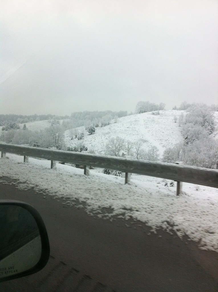
IMAGE_585.jpeg

Beautiful day.

Sunset 2003 a

Picture 129

Picture 128

Picture 127
Picture 015

Sunset 2003
Picture 112
Picture 026

Fun n the Sun
Picture 029

Picture 038
Picture 020
05-07-06 013
Picture 053
Picture 016
Topographic Map of Williamstown, KY, USA
Find elevation by address:

Places in Williamstown, KY, USA:
Taft Hwy, Williamstown, KY, USA
KY-36, Williamstown, KY, USA
Taft Hwy, Williamstown, KY, USA
Heekin Lawrenceville Rd, Williamstown, KY, USA
E Fairview Rd, Williamstown, KY, USA
US-25, Williamstown, KY, USA
Places near Williamstown, KY, USA:
105 Falmouth St
610 N Main St
204 Humes Ridge Rd
546 Waterworks Rd
KY-36, Williamstown, KY, USA
10000 Business Blvd
Dry Ridge
Heekin Lawrenceville Rd, Williamstown, KY, USA
US-25, Williamstown, KY, USA
1365 Independence Pike
East Fairview Road
E Fairview Rd, Williamstown, KY, USA
Grant County
Hogg Ridge Road
3132 Hogg Ridge Rd
3620 Lemon Northcutt Rd
5815 Cordova Rd
Cordova Rd, Berry, KY, USA
Taft Hwy, Williamstown, KY, USA
Taft Hwy, Dry Ridge, KY, USA
Recent Searches:
- Elevation of Corso Fratelli Cairoli, 35, Macerata MC, Italy
- Elevation of Tallevast Rd, Sarasota, FL, USA
- Elevation of 4th St E, Sonoma, CA, USA
- Elevation of Black Hollow Rd, Pennsdale, PA, USA
- Elevation of Oakland Ave, Williamsport, PA, USA
- Elevation of Pedrógão Grande, Portugal
- Elevation of Klee Dr, Martinsburg, WV, USA
- Elevation of Via Roma, Pieranica CR, Italy
- Elevation of Tavkvetili Mountain, Georgia
- Elevation of Hartfords Bluff Cir, Mt Pleasant, SC, USA