Elevation of Dry Ridge, KY, USA
Location: United States > Kentucky > Grant County >
Longitude: -84.589942
Latitude: 38.6820122
Elevation: 292m / 958feet
Barometric Pressure: 98KPa
Elevation Map:
Satellite Map:
Related Photos:
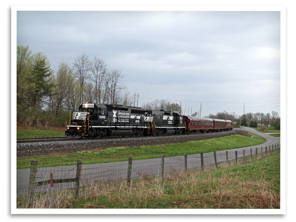
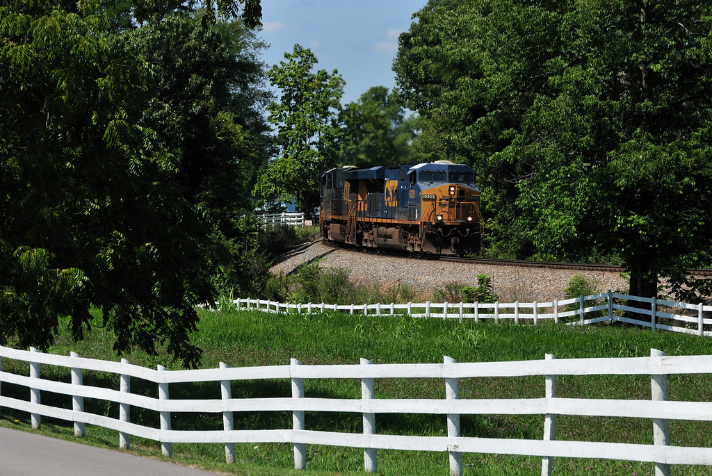
Operation Lifesaver

#Beautiful #sunrise :)
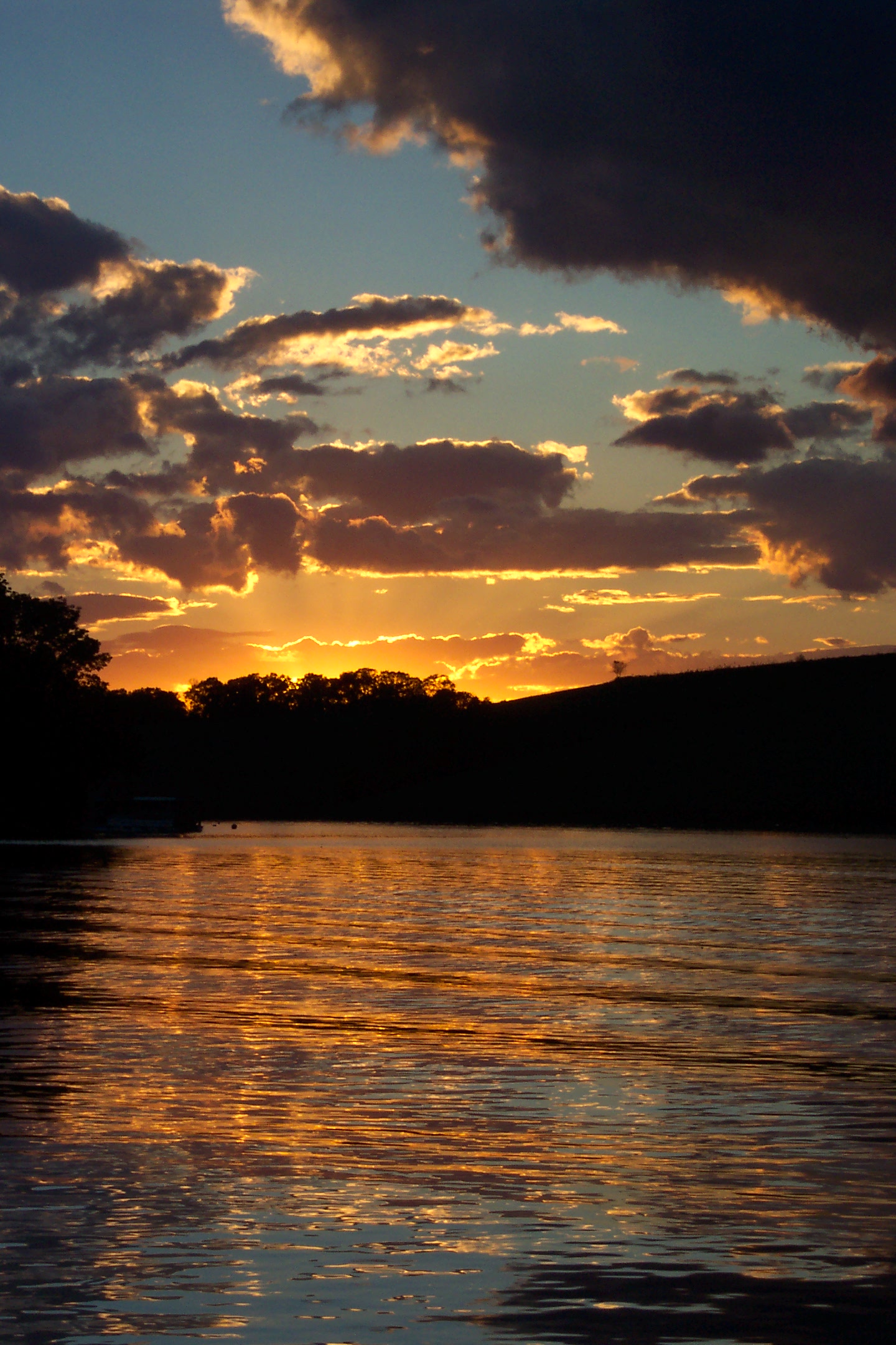
Sunset 2003 a
Picture 129
Picture 128
Picture 127

#whoosh rushing to catch the light of shorter winter days
Picture 015
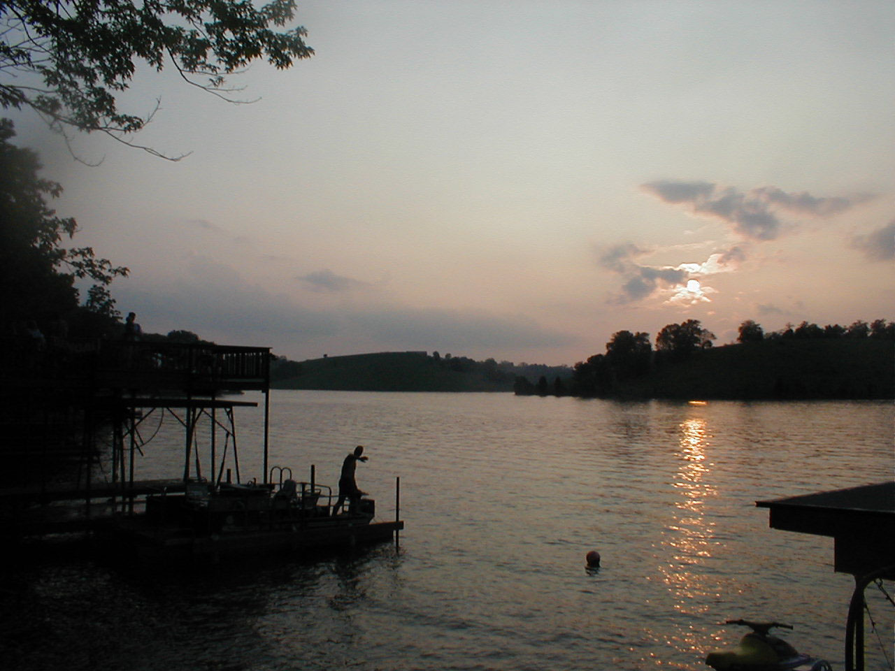
Sunset 2003
Picture 112
Picture 026

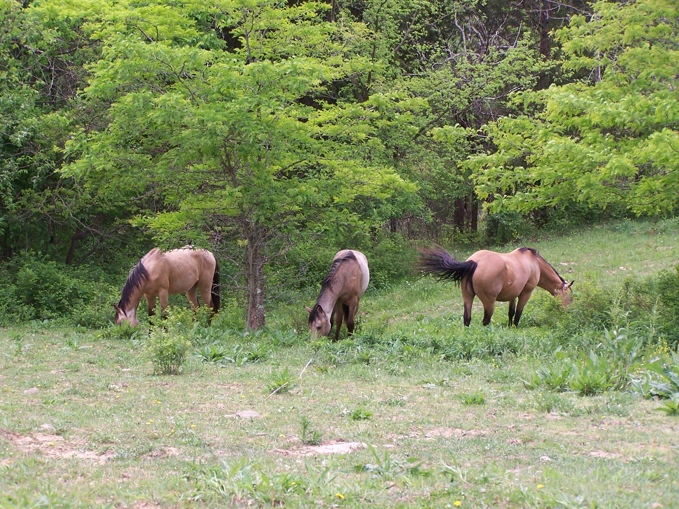
Fun n the Sun
Picture 029
Picture 038
Picture 020
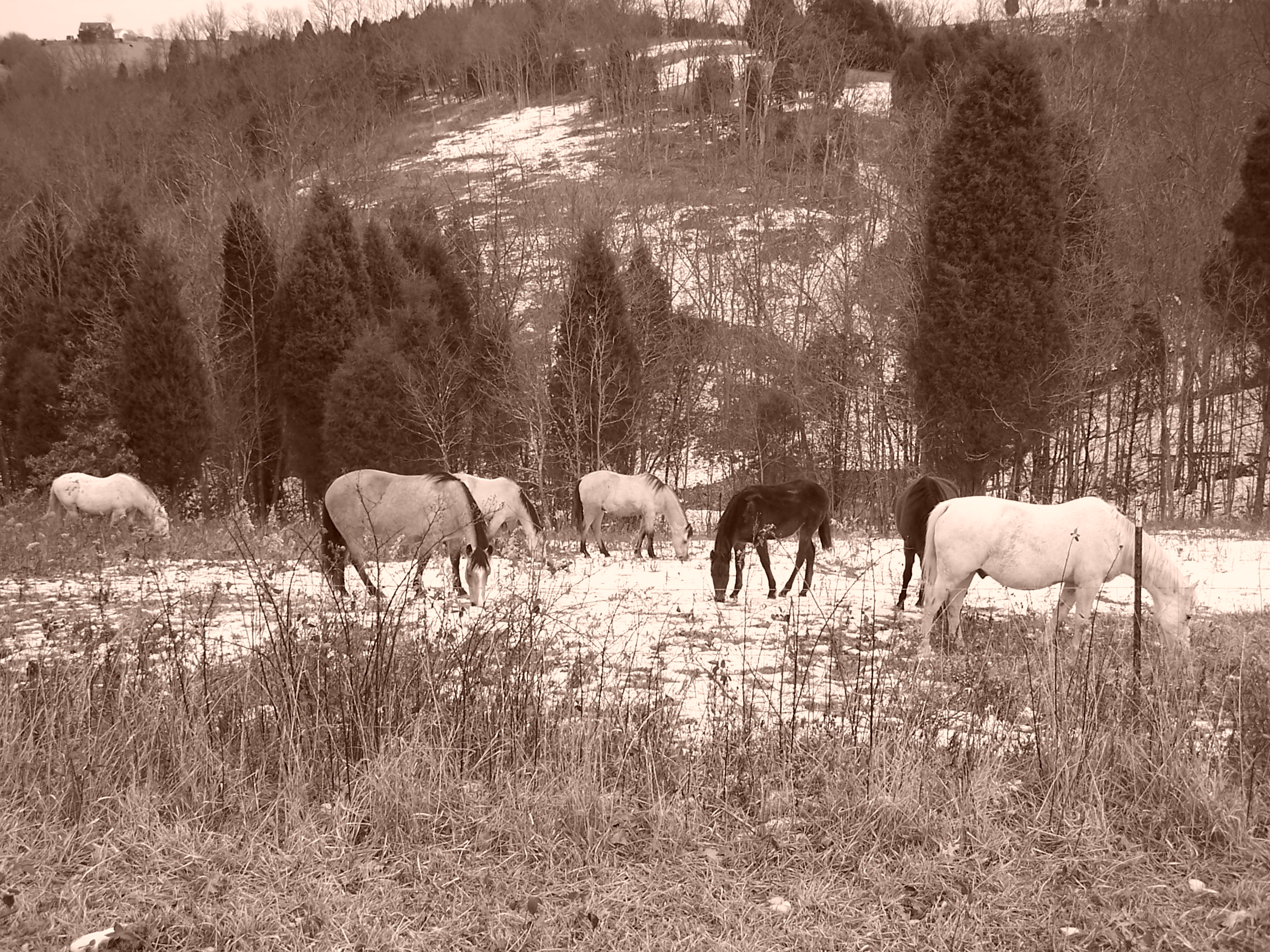
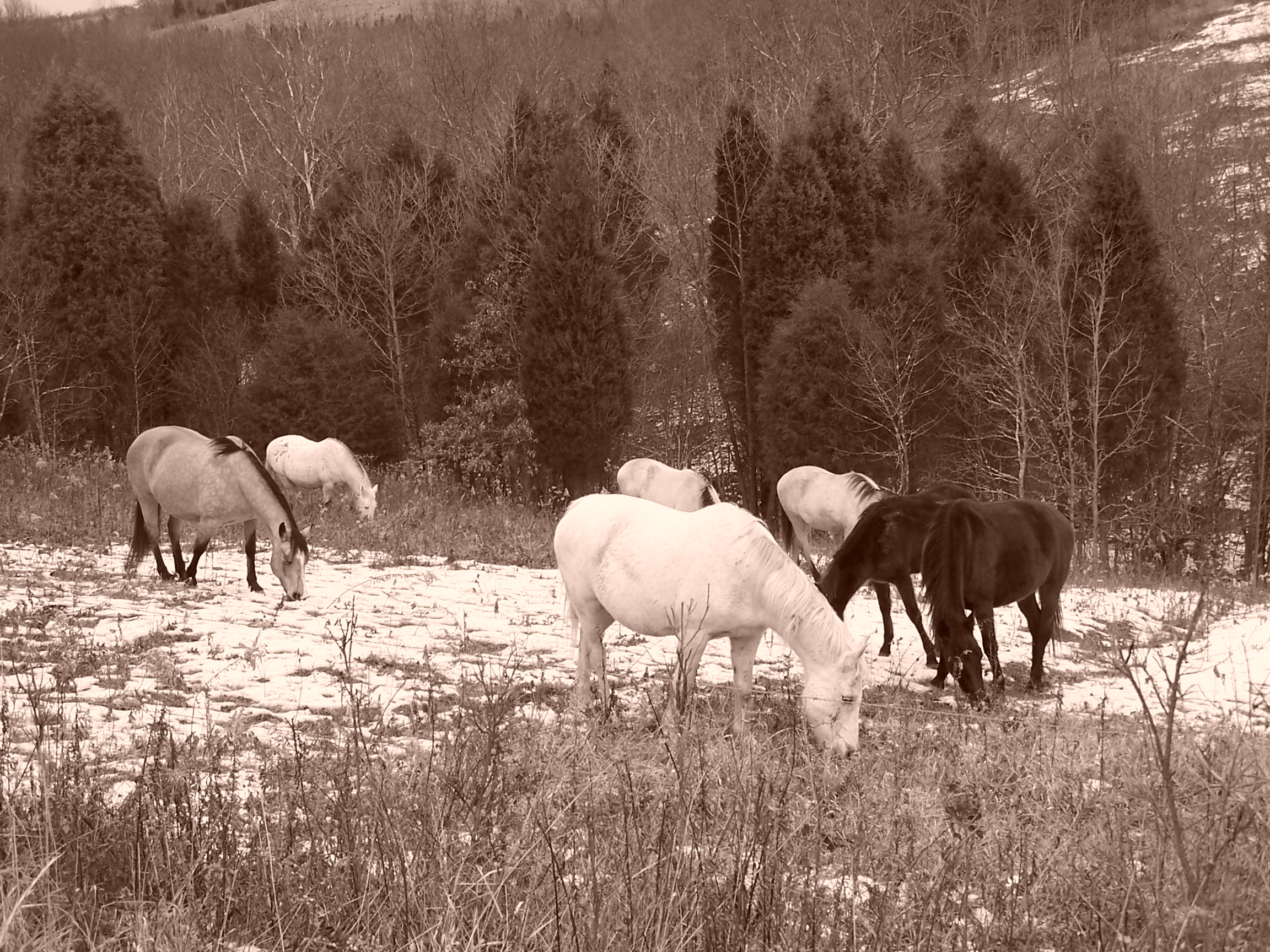
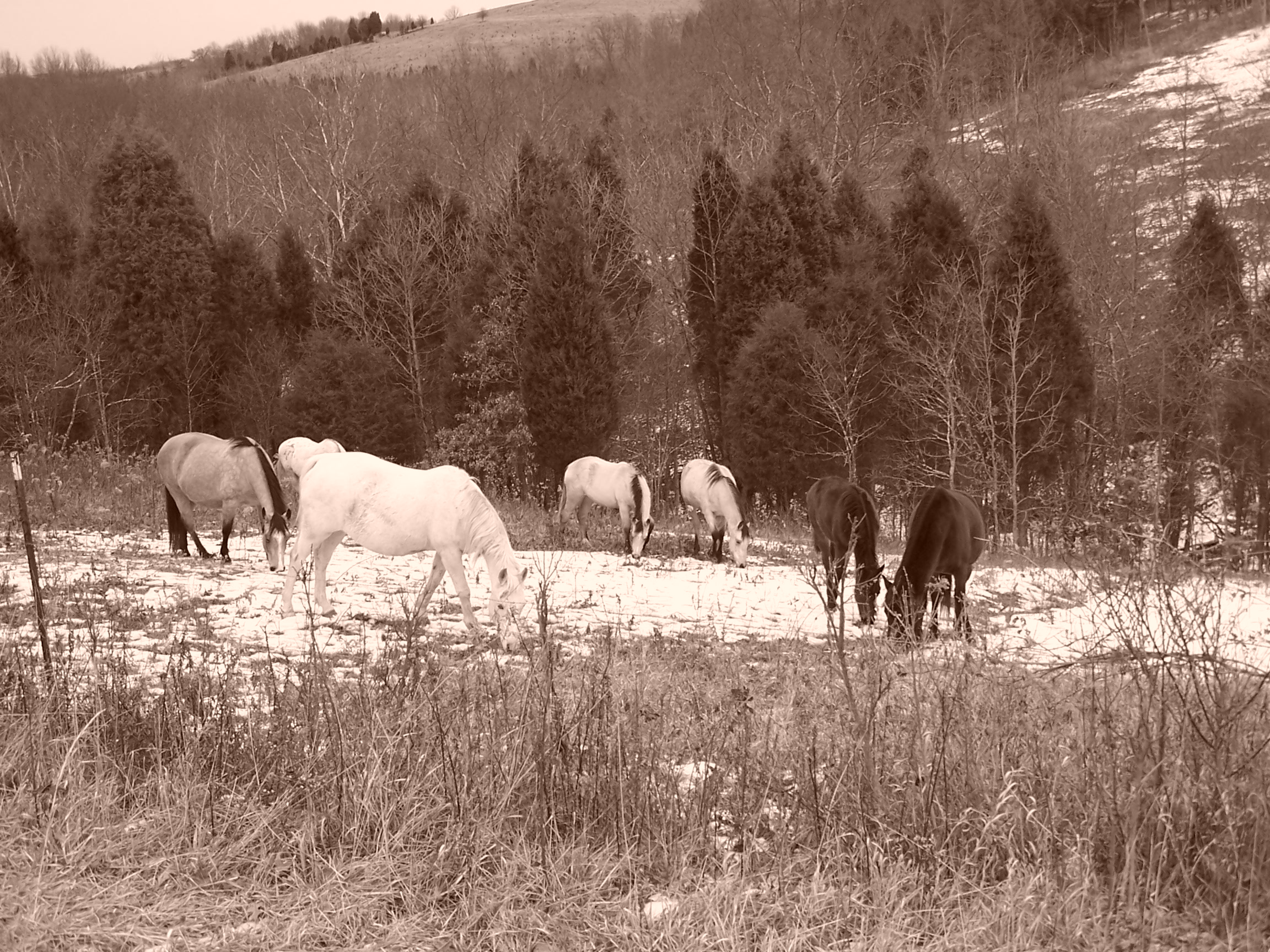
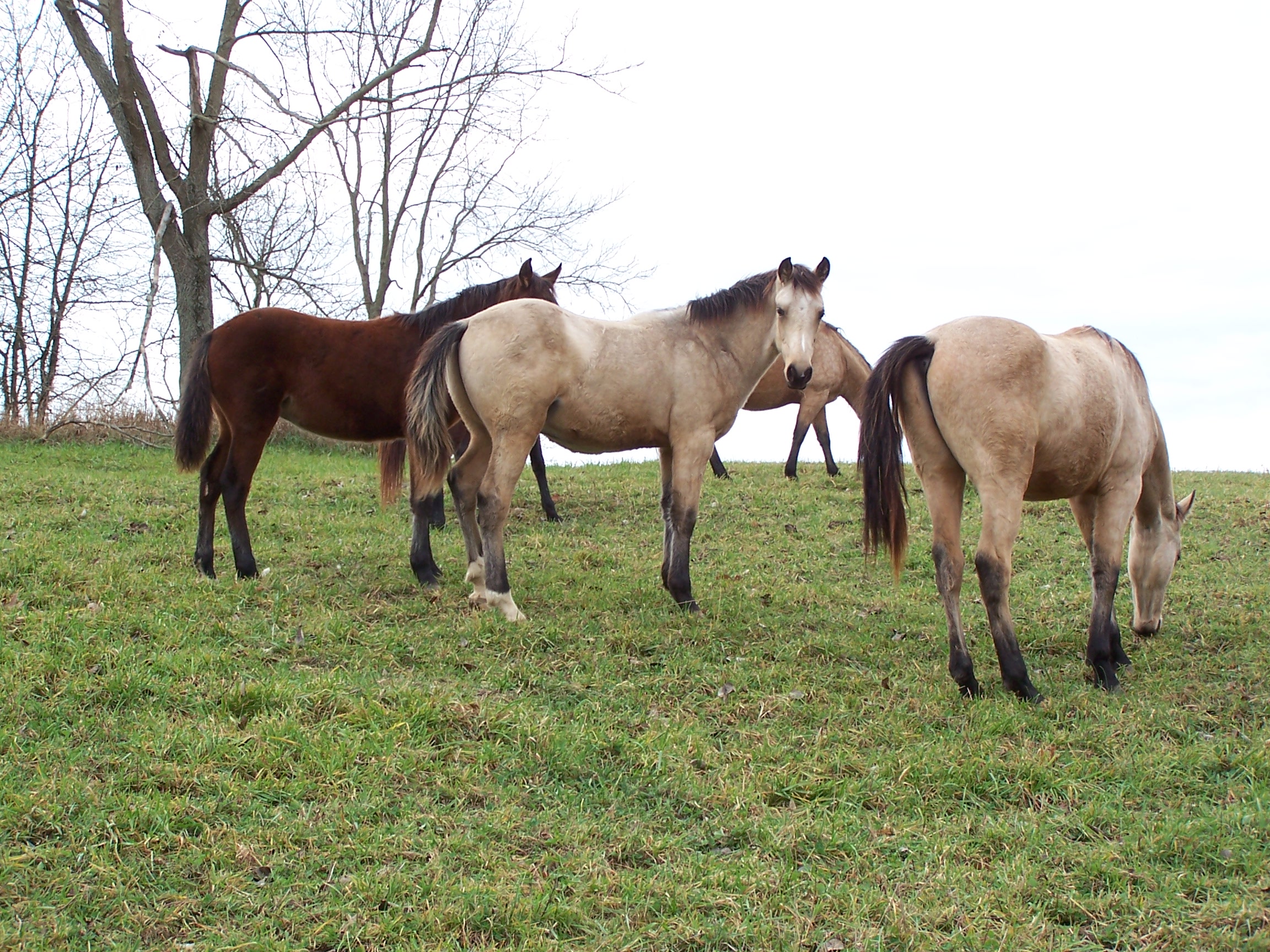
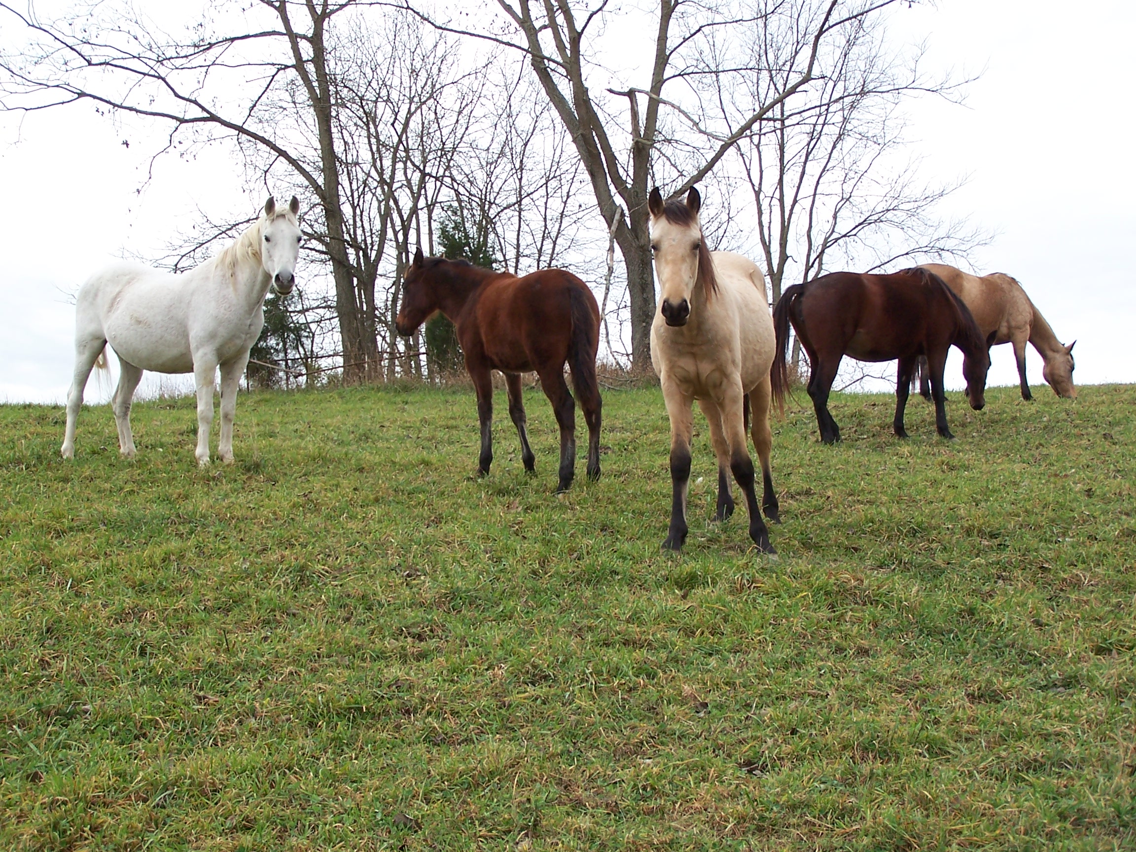
Fence Me In
05-07-06 013
Picture 053
Picture 016
Picture 051
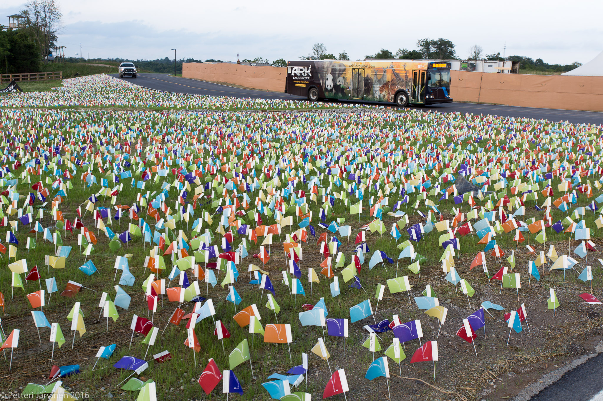
Flags of donors.
Topographic Map of Dry Ridge, KY, USA
Find elevation by address:

Places in Dry Ridge, KY, USA:
Places near Dry Ridge, KY, USA:
10000 Business Blvd
1365 Independence Pike
3620 Lemon Northcutt Rd
East Fairview Road
E Fairview Rd, Williamstown, KY, USA
Elliston Mt Zion Rd, Dry Ridge, KY, USA
Crittenden
Hogg Ridge Road
3132 Hogg Ridge Rd
Bracht-Piner Rd, Crittenden, KY, USA
KY-, Demossville, KY, USA
Verona
Verona-Mudlick Rd, Verona, KY, USA
Madison Pike, Morning View, KY, USA
13906 Walton-verona Rd
Verona Vineyards
3035 Rich Rd
Verona, KY, USA
3336 Rich Rd
3590 Alexander Rd
Recent Searches:
- Elevation of Corso Fratelli Cairoli, 35, Macerata MC, Italy
- Elevation of Tallevast Rd, Sarasota, FL, USA
- Elevation of 4th St E, Sonoma, CA, USA
- Elevation of Black Hollow Rd, Pennsdale, PA, USA
- Elevation of Oakland Ave, Williamsport, PA, USA
- Elevation of Pedrógão Grande, Portugal
- Elevation of Klee Dr, Martinsburg, WV, USA
- Elevation of Via Roma, Pieranica CR, Italy
- Elevation of Tavkvetili Mountain, Georgia
- Elevation of Hartfords Bluff Cir, Mt Pleasant, SC, USA