Elevation of Independence Pike, Dry Ridge, KY, USA
Location: United States > Kentucky > Grant County > Dry Ridge >
Longitude: -84.549257
Latitude: 38.7089604
Elevation: 249m / 817feet
Barometric Pressure: 98KPa
Elevation Map:
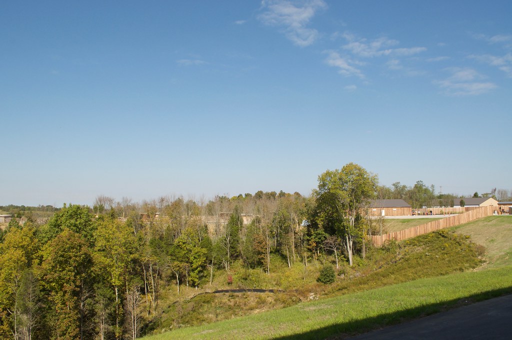
Satellite Map:
Related Photos:

Rolling Hills

Operation Lifesaver

Interior view of Noah's ARK Encounter, Kentucky

YELLOW-BILLED CUCKOO

GREEN HERON NEST

WOOD DUCK

Back Road
2016 October 6, Leaving the Ark Nikon D5000

Rural (7)

Rural (8)

#Beautiful #sunrise :)

Picture 128

#whoosh rushing to catch the light of shorter winter days

Picture 127

Picture 112

Flags of donors.

SnowyRoadTripRiverB&W

Picture 029

Picture 026

05-07-06 013

Picture 020

Picture 038

Picture 053

Picture 016

Picture 051
Topographic Map of Independence Pike, Dry Ridge, KY, USA
Find elevation by address:

Places near Independence Pike, Dry Ridge, KY, USA:
3620 Lemon Northcutt Rd
10000 Business Blvd
Dry Ridge
E Fairview Rd, Williamstown, KY, USA
East Fairview Road
Hogg Ridge Road
3132 Hogg Ridge Rd
Crittenden
KY-, Demossville, KY, USA
Bracht-Piner Rd, Crittenden, KY, USA
Elliston Mt Zion Rd, Dry Ridge, KY, USA
Madison Pike, Morning View, KY, USA
3035 Rich Rd
3590 Alexander Rd
3336 Rich Rd
Morning View
Pendleton County
Verona
Verona-Mudlick Rd, Verona, KY, USA
13906 Walton-verona Rd
Recent Searches:
- Elevation of Corso Fratelli Cairoli, 35, Macerata MC, Italy
- Elevation of Tallevast Rd, Sarasota, FL, USA
- Elevation of 4th St E, Sonoma, CA, USA
- Elevation of Black Hollow Rd, Pennsdale, PA, USA
- Elevation of Oakland Ave, Williamsport, PA, USA
- Elevation of Pedrógão Grande, Portugal
- Elevation of Klee Dr, Martinsburg, WV, USA
- Elevation of Via Roma, Pieranica CR, Italy
- Elevation of Tavkvetili Mountain, Georgia
- Elevation of Hartfords Bluff Cir, Mt Pleasant, SC, USA