Elevation of Spring Farm Rd, Lexington, VA, USA
Location: United States > Virginia > Lexington >
Longitude: -79.5072388
Latitude: 37.8158665
Elevation: 464m / 1522feet
Barometric Pressure: 0KPa
Related Photos:

Pastures of Plenty on Old Farm Road

Washington and Lee University - View from Near Lee Chapel
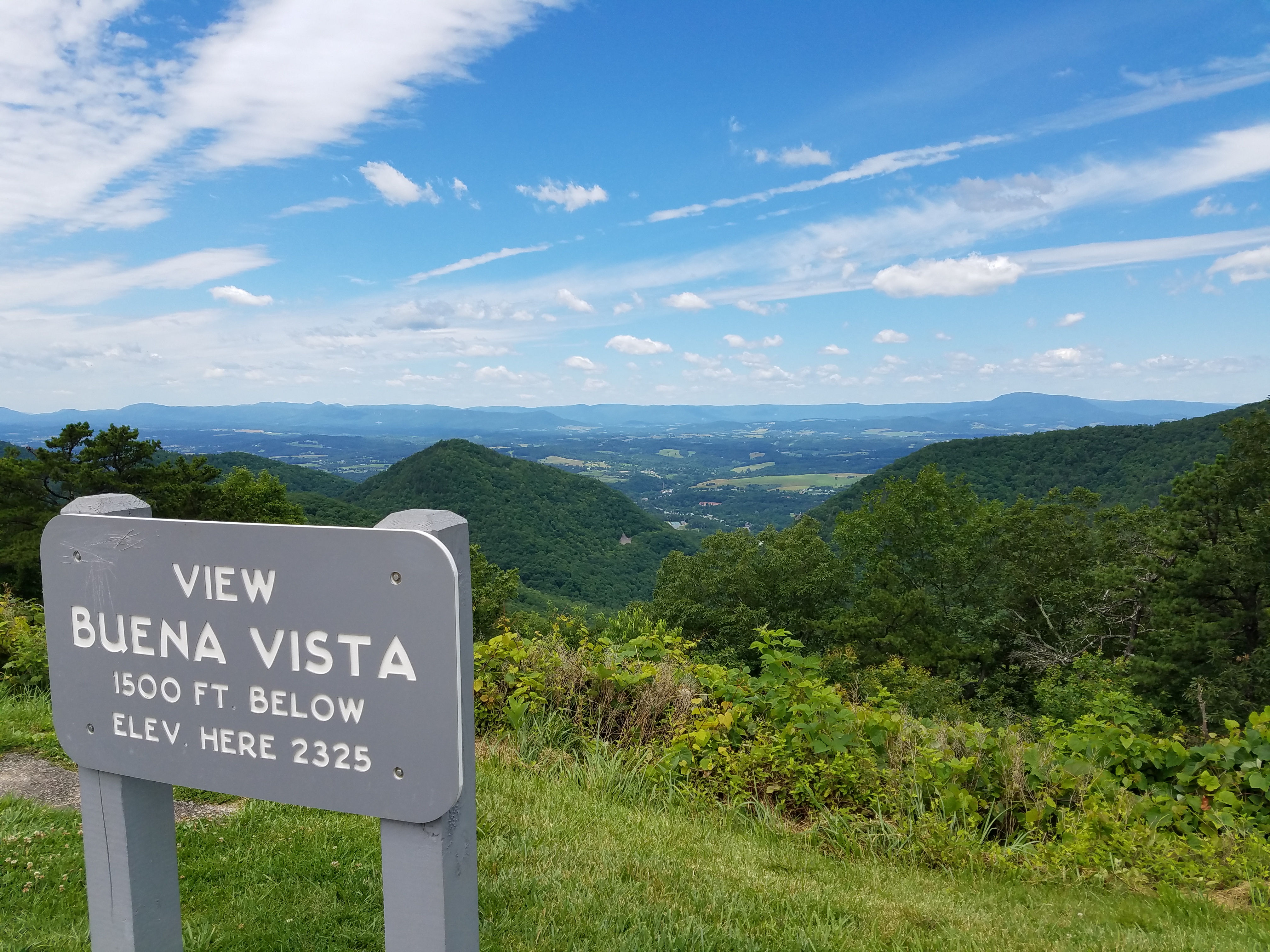
view of Buena Vista from Blue Ridge Parkway

Timber Ridge Presbyterian Church

On the Streets of Lexington

View from the Cemetery, Buena Vista, Virginia

Sunset in Lexington

General Marshall Views Drawings at the International Art Exchange, October 25, 1949

Sunday Afternoon in Lexington

Looking North on Main Street, Lexington, VA

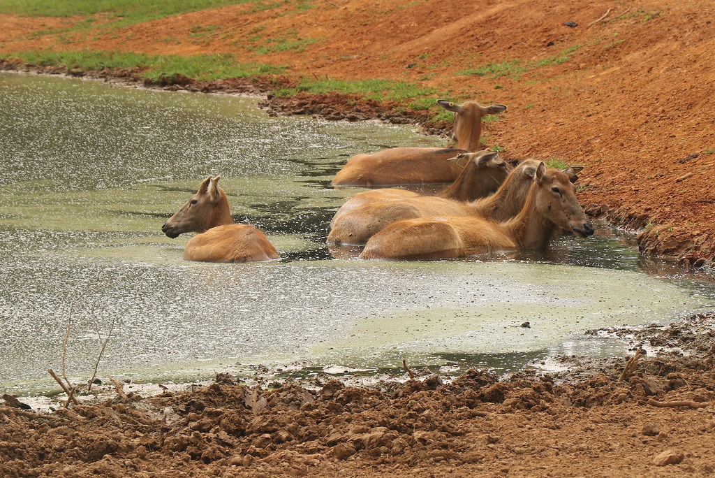
A View in Virginia Safari Park

RAD20130126.22 VMI Parade & Barracks

2008.10.25.0997 Family Home Destroyed

view in Rockbridge County, Virginia

Parade Grounds at Virginia Military Institute

2008.10.25.0976 Family Home Destroyed

1401 Lt. Gen. Thomas Jonathan Stonewall Jackson Img_22724

view at VMI - Lexington, Virginia

A Night at the Movies

view along Rt. 60 approaching Buena Vista

view in Rockbridge County, Virginia

Falling Spring

Maury River Pass

Maury in March

1995.11.01 Rockbridge Farm Aerial

Overcast Autumn Day in Goshen Pass

Good Morning

Low Clouds in Goshen Pass

mountains hidden in low clouds

Life, as I want to know it
Rockbridge County Va.

Maury River, Goshen Pass, Goshen Pass State Natural Area, Rockbridge County, Virginia 1

Scouting Goshen Pass

2007.07.04.05935 Fireworks at Virginia Military Institute
Relaxing Bath

What are you looking at?

Maury River, Goshen Pass, Goshen Pass State Natural Area, Rockbridge County, Virginia 3

Fishermen on the Maury River in Goshen Pass - Goshen, VA

2007.07.04.05945 Fireworks at Virginia Military Institute
Topographic Map of Spring Farm Rd, Lexington, VA, USA
Find elevation by address:

Places near Spring Farm Rd, Lexington, VA, USA:
Jacktown Road
Kerrs Creek
Rockbridge County
822 Turnpike Rd
Kerrs Creek
Saddlebrook Road
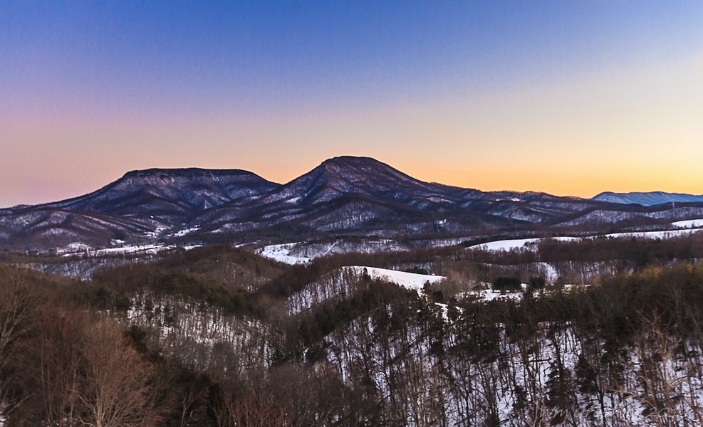
Big House Mountain
Gilmer Creek Ln, Lexington, VA, USA
550 Adair Hill
House Mountain Inn
Sehorn Hollow Road
1476 Fredericksburg Rd
135 Mountain Ridge Trail
745 Honey Hollow Rd
54 Irish Bank Ct
Rockbridge Alum Springs - A Young Life Camp
29 Pond View Ln
Millboro
7318 Cowpasture River Hwy
6972 Cowpasture River Hwy
Recent Searches:
- Elevation of Clifton Down, Clifton, Bristol, City of Bristol, England, BS8 3HU, United Kingdom
- Elevation map of Auvergne-Rhône-Alpes, France
- Elevation map of Upper Savoy, Auvergne-Rhône-Alpes, France
- Elevation of Chamonix-Mont-Blanc, Upper Savoy, Auvergne-Rhône-Alpes, France
- Elevation of 908, Northwood Drive, Bridge Field, Chesapeake, Virginia, 23322, USA
- Elevation map of Nagano Prefecture, Japan
- Elevation of 587, Bascule Drive, Oakdale, Stanislaus County, California, 95361, USA
- Elevation of Stadion Wankdorf, Sempachstrasse, Breitfeld, Bern, Bern-Mittelland administrative district, Bern, 3014, Switzerland
- Elevation of Z024, 76, Emil-von-Behring-Straße, Marbach, Marburg, Landkreis Marburg-Biedenkopf, Hesse, 35041, Germany
- Elevation of Gaskill Road, Hunts Cross, Liverpool, England, L24 9PH, United Kingdom
- Elevation of Speke, Liverpool, England, L24 9HD, United Kingdom
- Elevation of Seqirus, 475, Green Oaks Parkway, Holly Springs, Wake County, North Carolina, 27540, USA
- Elevation of Pasing, Munich, Bavaria, 81241, Germany
- Elevation of 24, Auburn Bay Crescent SE, Auburn Bay, Calgary, Alberta, T3M 0A6, Canada
- Elevation of Denver, 2314, Arapahoe Street, Five Points, Denver, Colorado, 80205, USA
- Elevation of Community of the Beatitudes, 2924, West 43rd Avenue, Sunnyside, Denver, Colorado, 80211, USA
- Elevation map of Litang County, Sichuan, China
- Elevation map of Madoi County, Qinghai, China
- Elevation of 3314, Ohio State Route 114, Payne, Paulding County, Ohio, 45880, USA
- Elevation of Sarahills Drive, Saratoga, Santa Clara County, California, 95070, USA