Elevation of 54 Irish Bank Ct, Goshen, VA, USA
Location: United States > Virginia > Rockbridge County > Walkers Creek > Goshen >
Longitude: -79.5727286
Latitude: 37.9351292
Elevation: 495m / 1624feet
Barometric Pressure: 0KPa
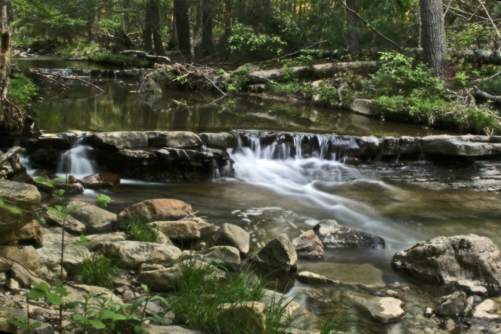
Related Photos:
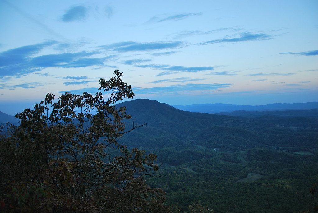
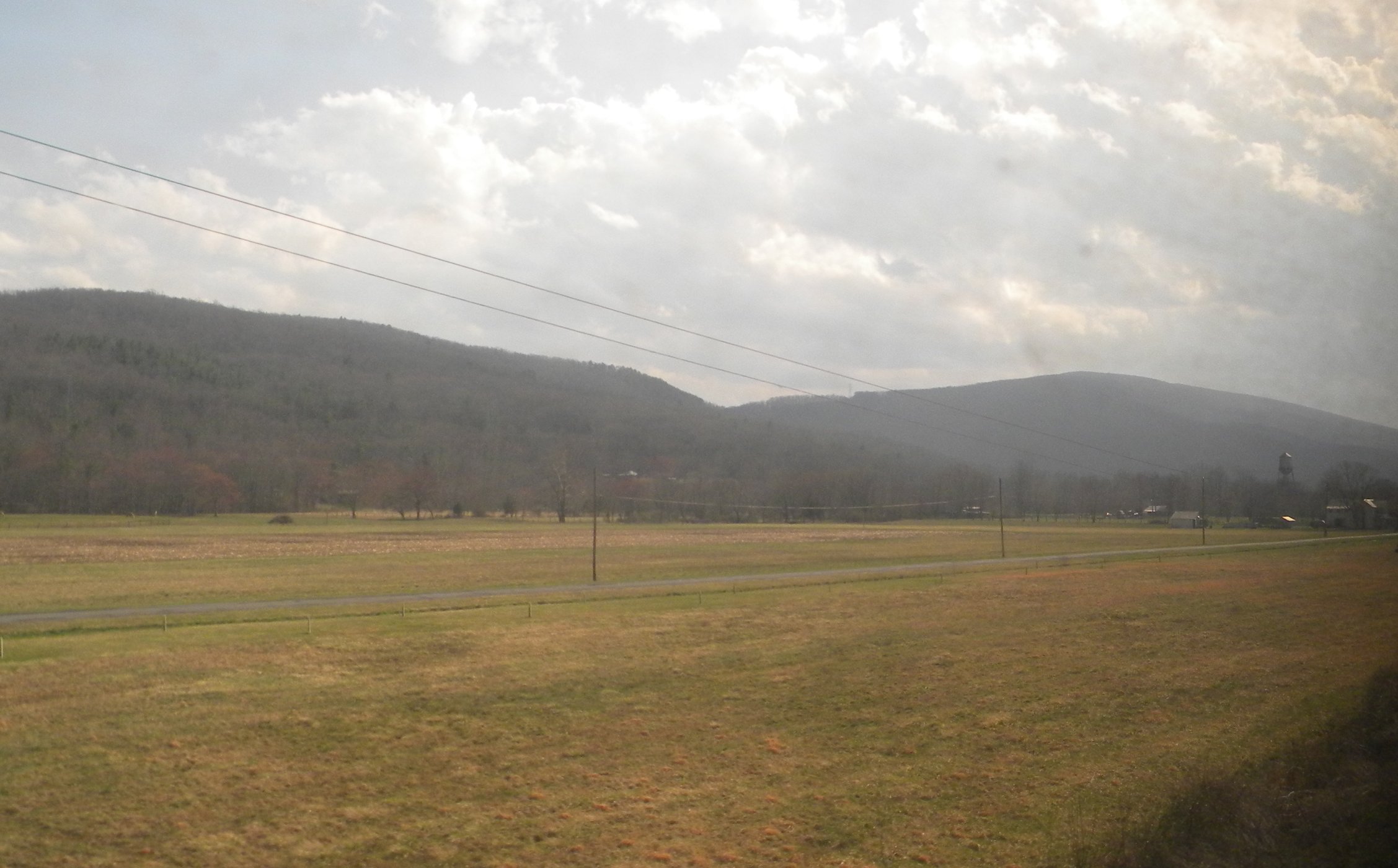
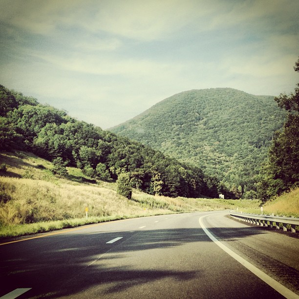
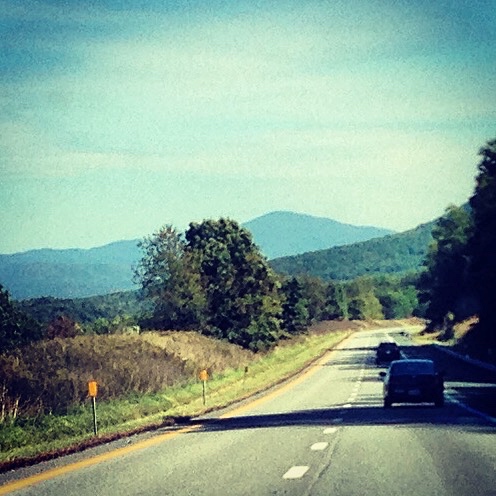
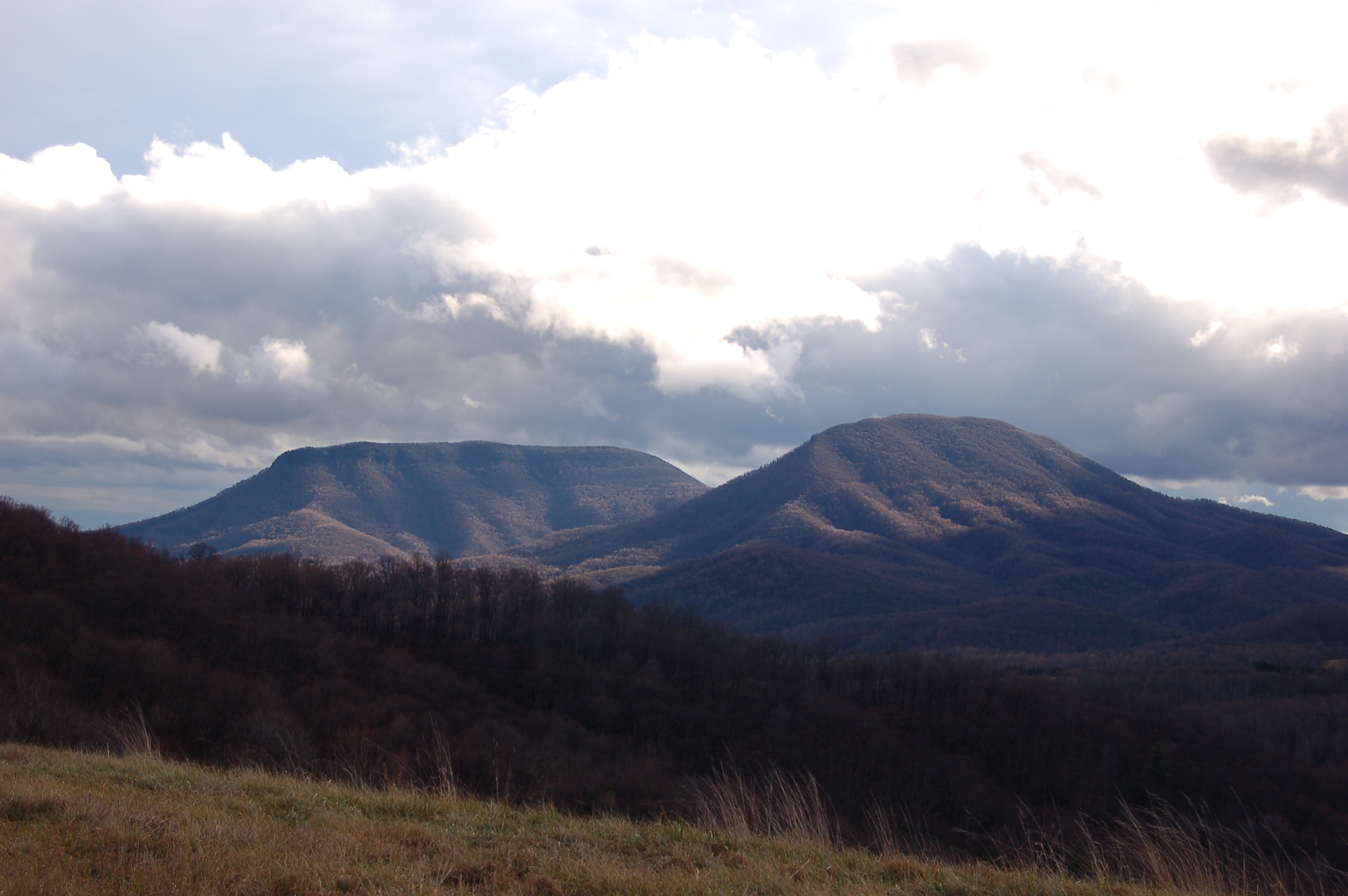
View from North Mountain

Passing by a pond in the Fall

View from North Mountain
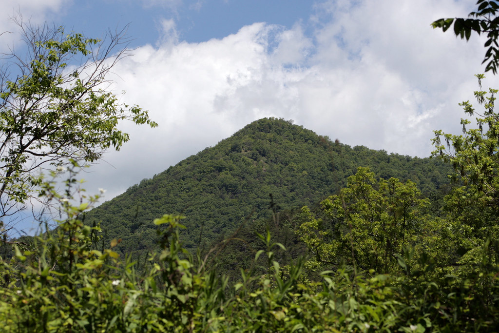
Mountian top peak
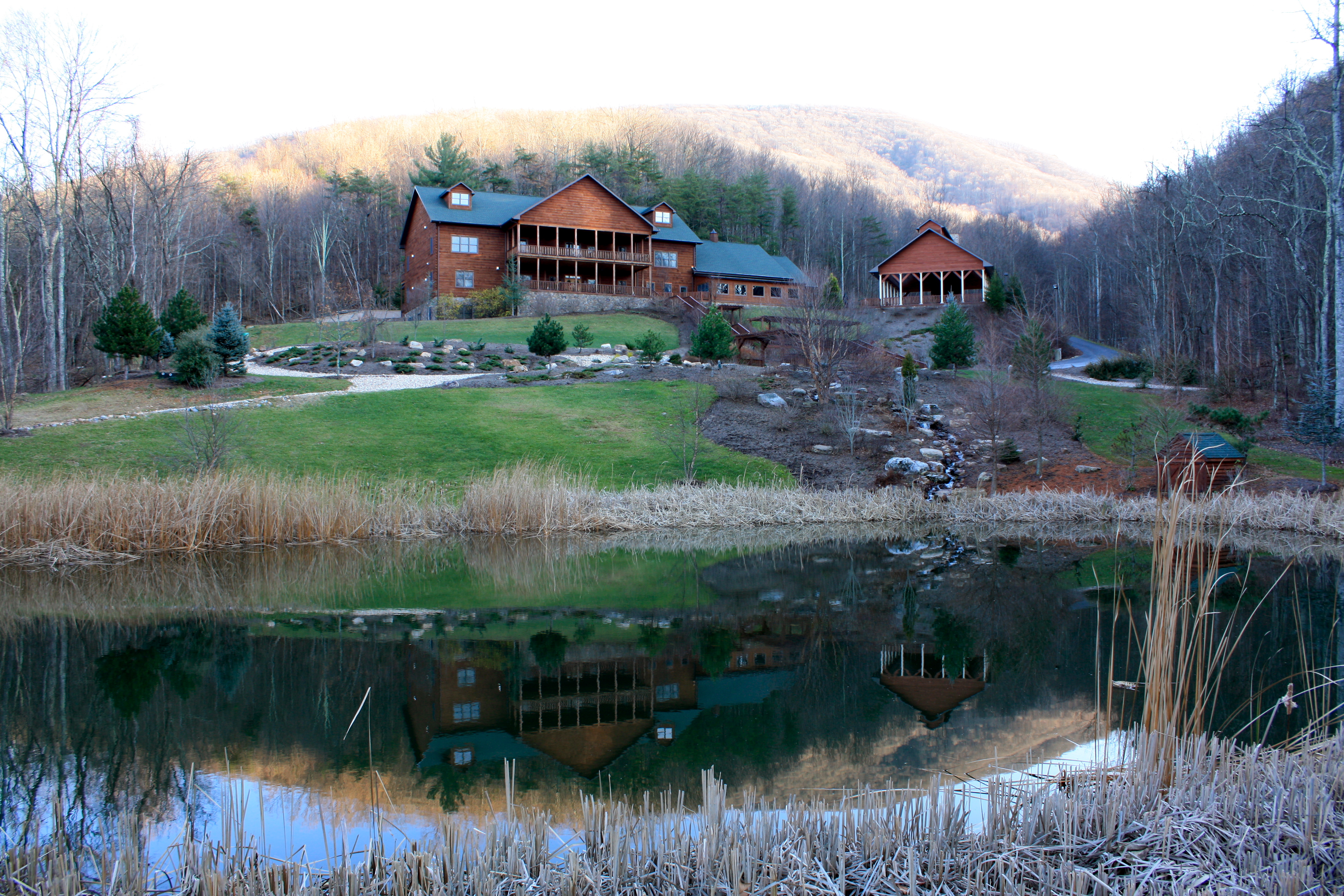
House Mountain Inn
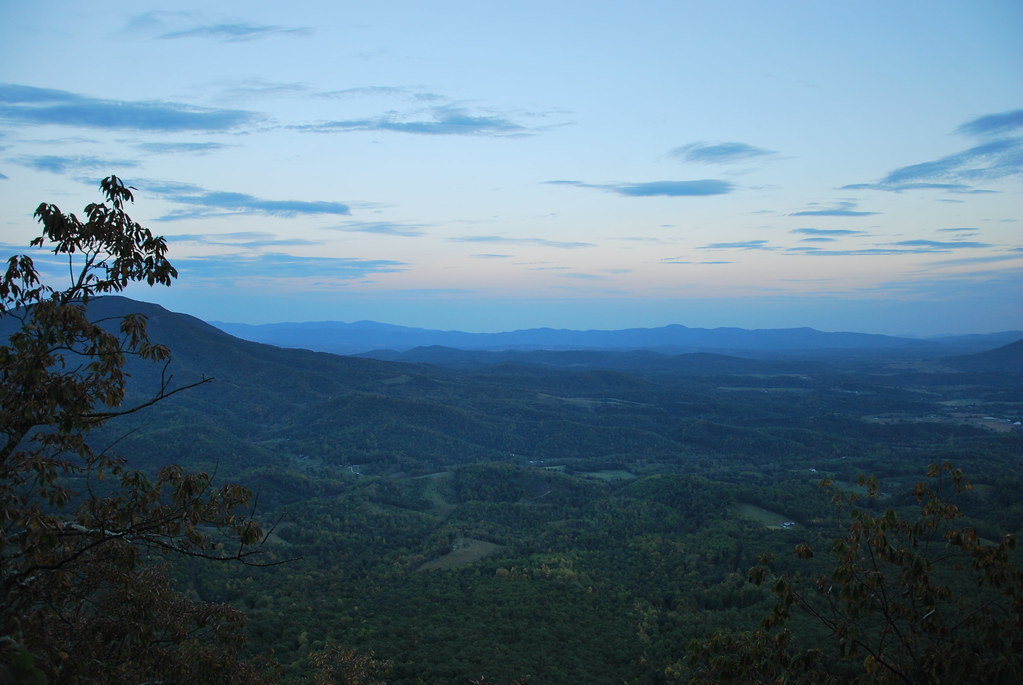
View from North Mountain

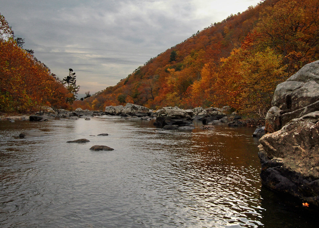
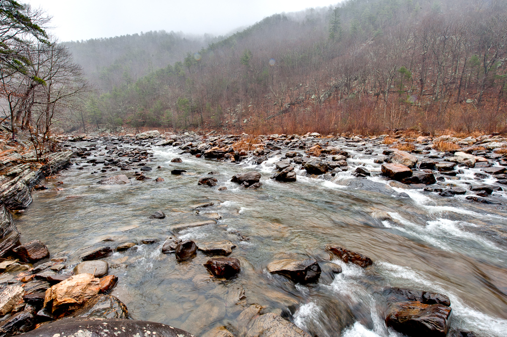
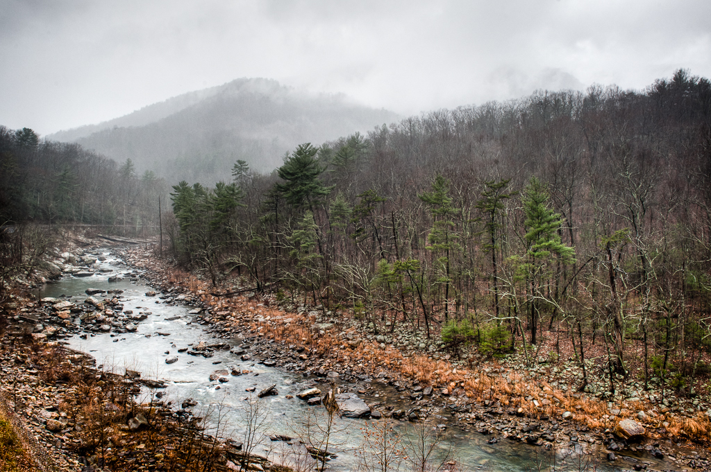
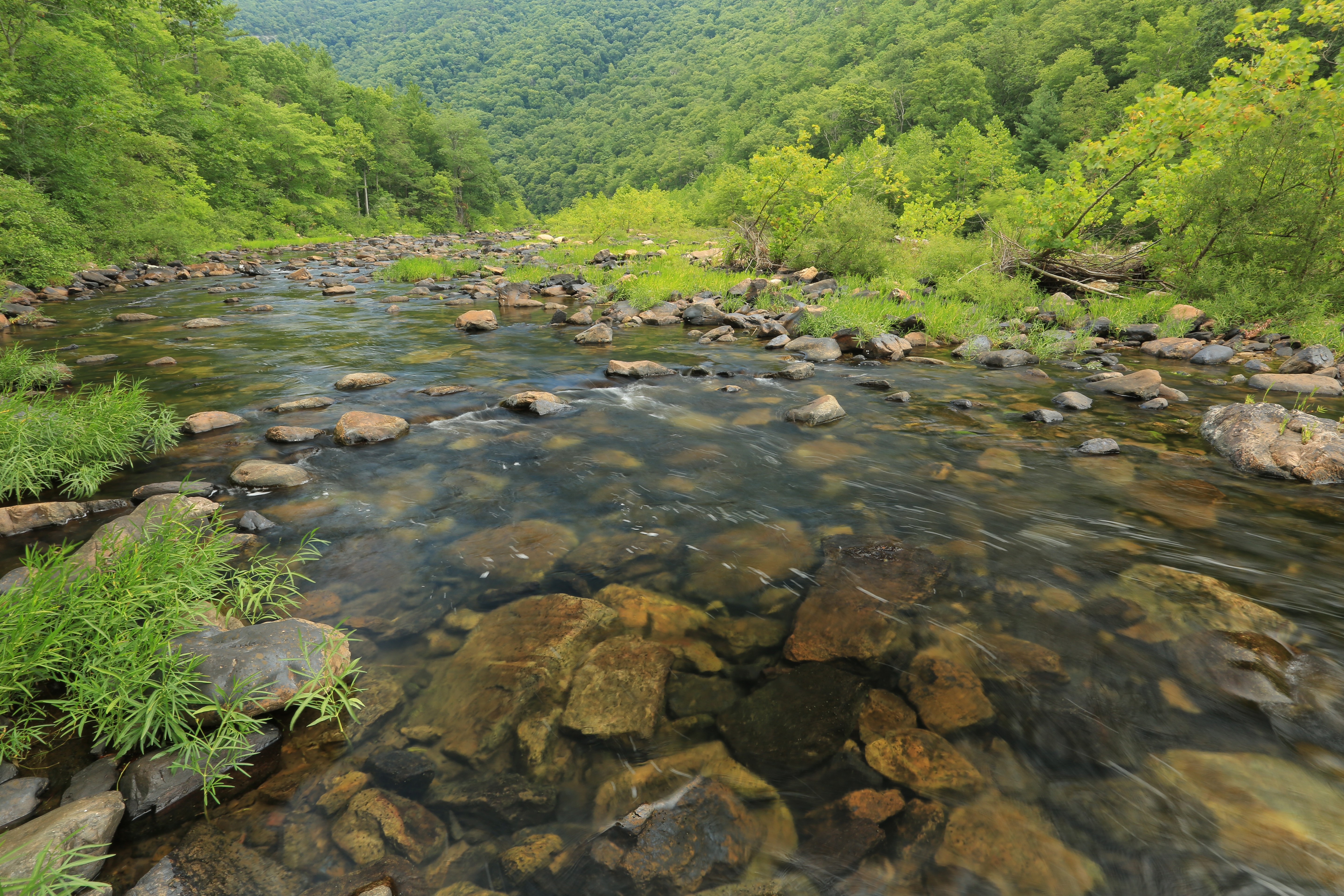
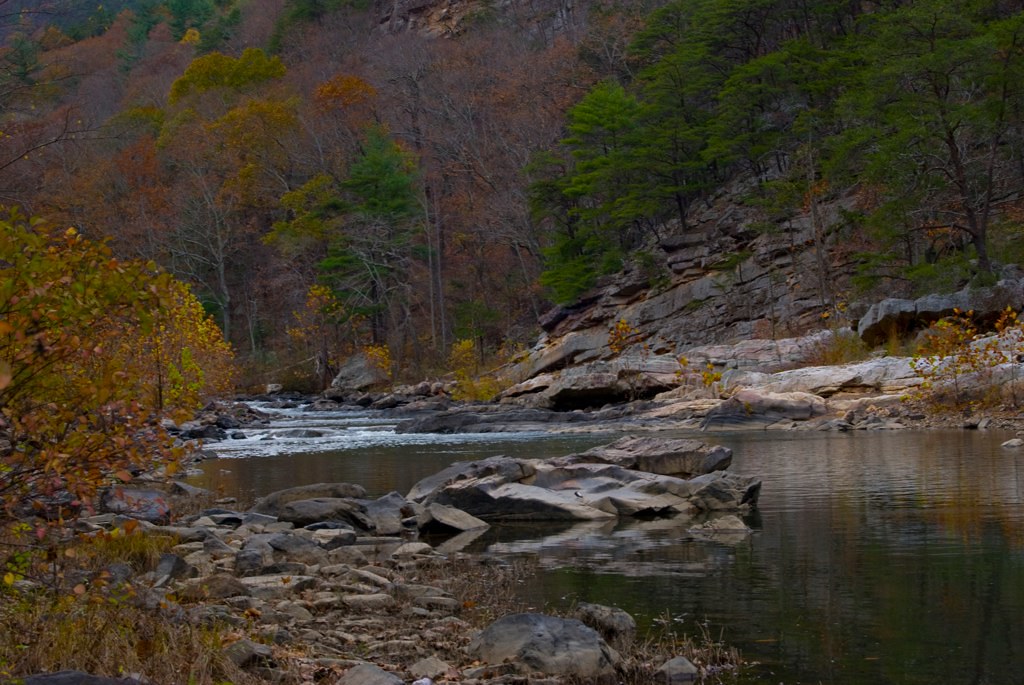
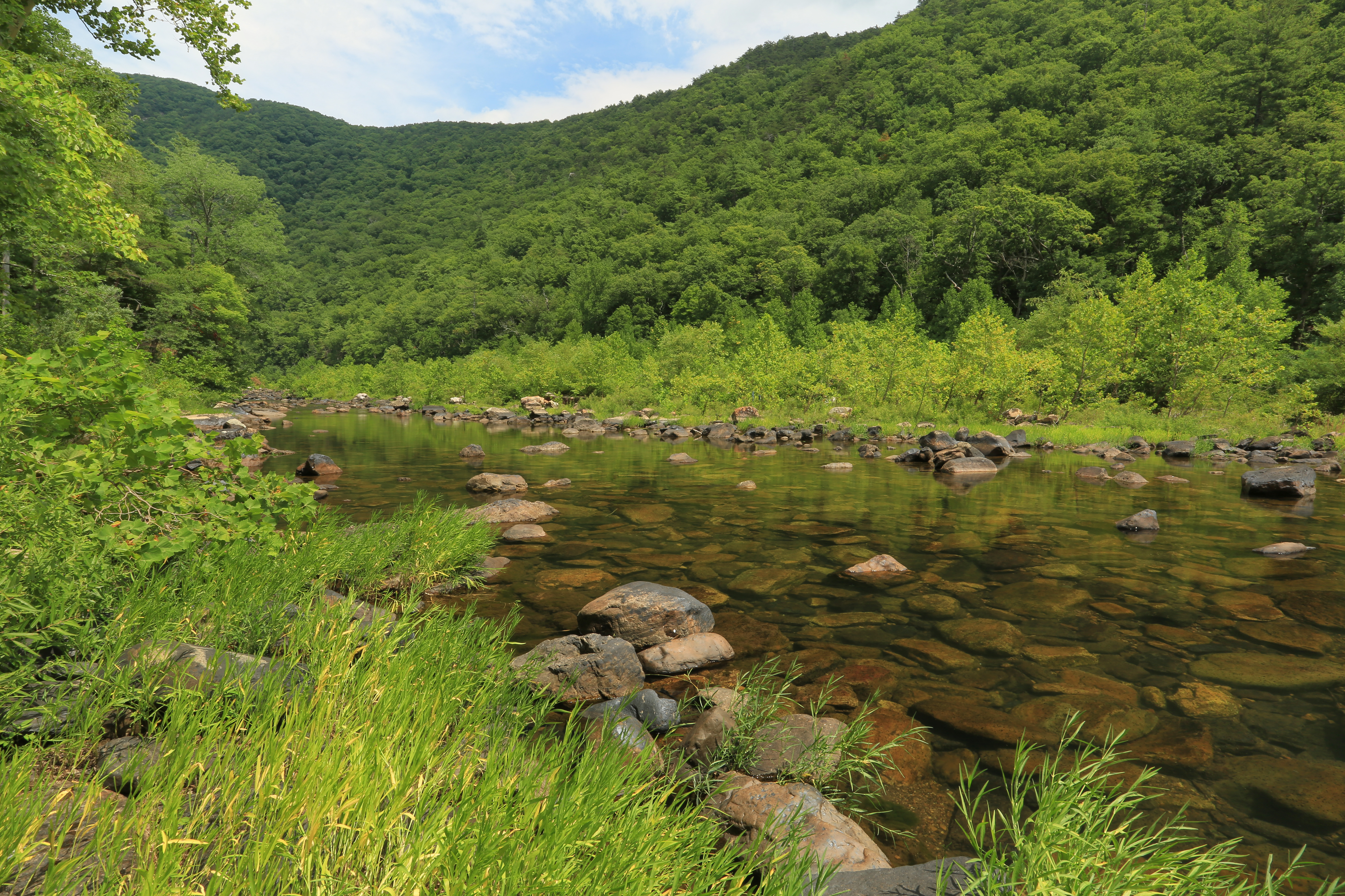
Maury River, Goshen Pass, Virginia

View from North Mountain
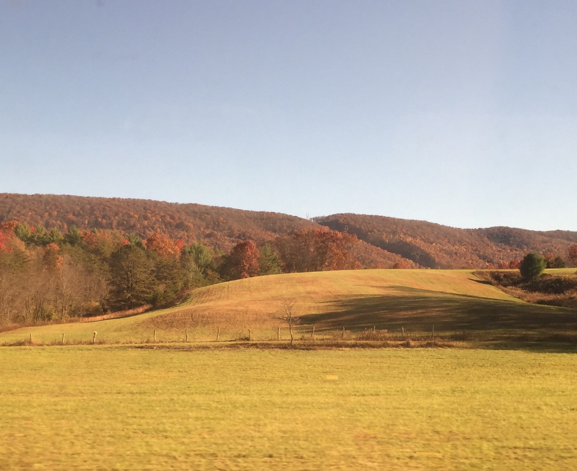
Goshen Virginia

Maury River, Goshen Pass, Virginia
On the Cardinal in Western Virginia
Walker Mountain Bath county side VA. USA 3600 ft elevation 2.5 hr climb no views .

a different view
Overcast Autumn Day in Goshen Pass

Over the River and Thru the Woods...

Day 243 -- After the storm
she'll be coming 'round the mountain when she comes...

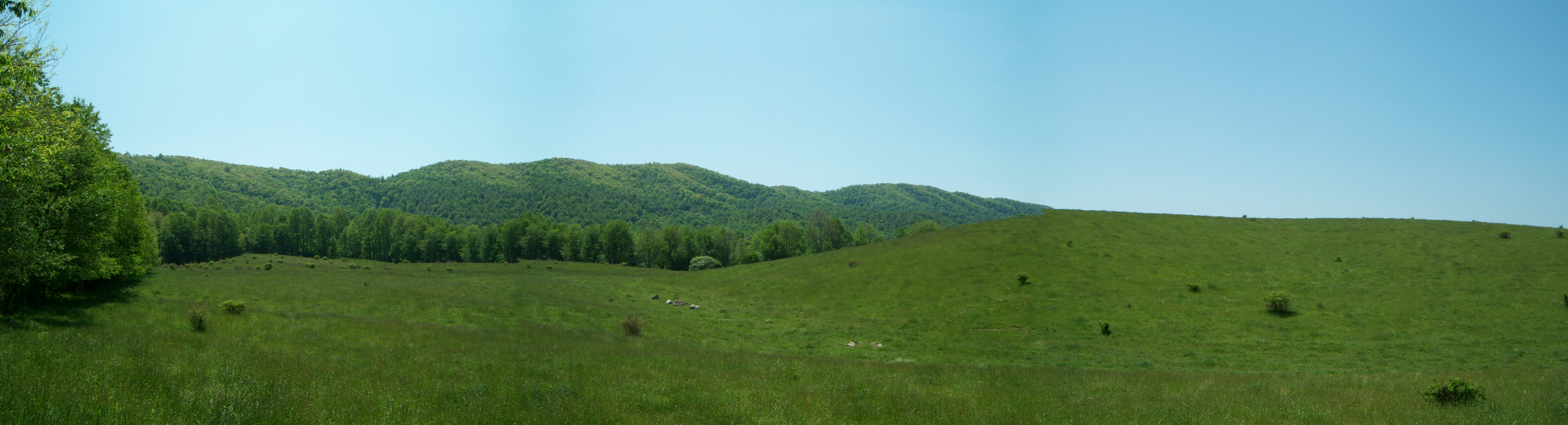
Panorama of Virginia Landscape

Rockbridge County Va.

Day 143 -- My welcoming bunny
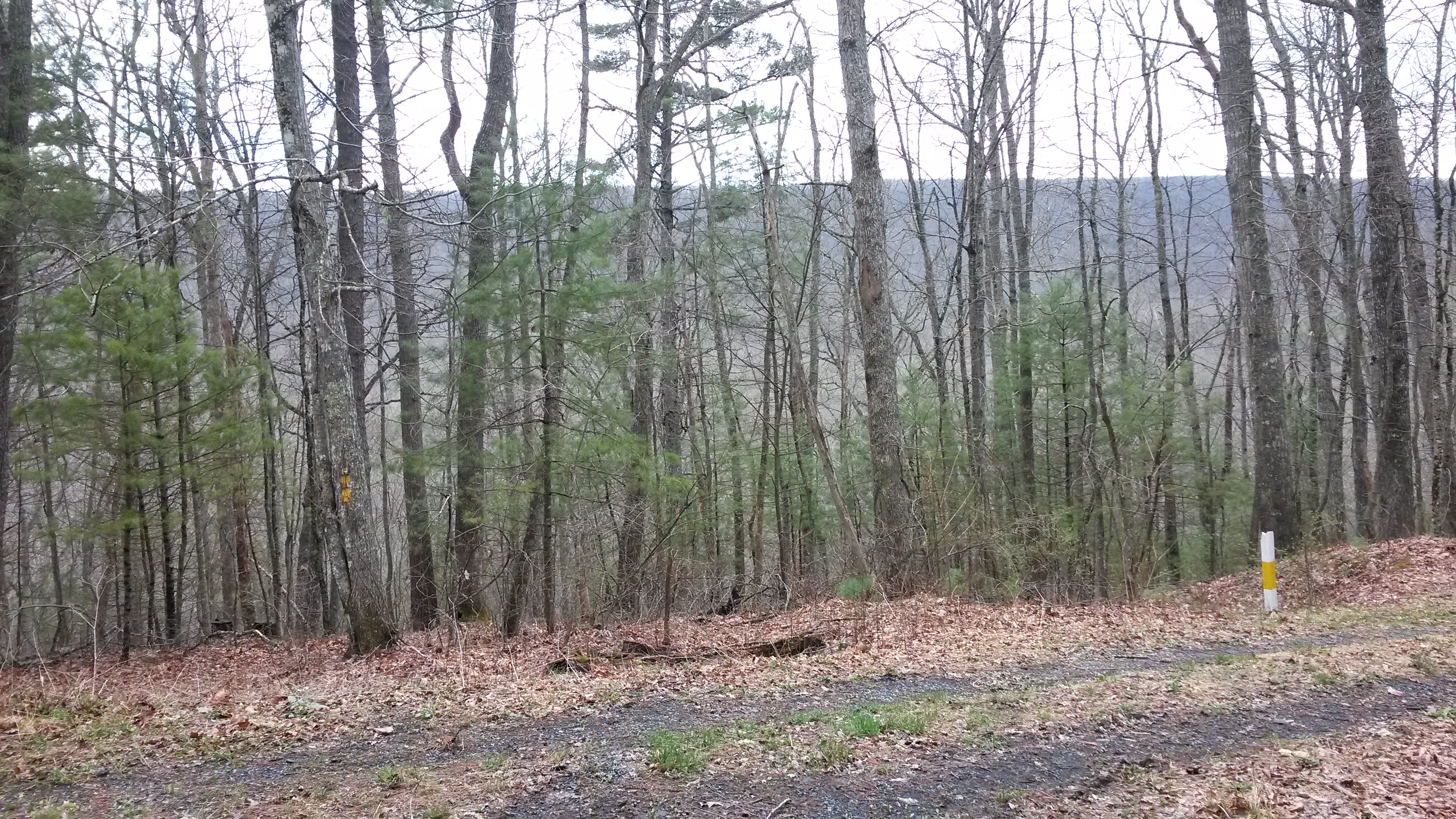
Scouting Goshen Pass

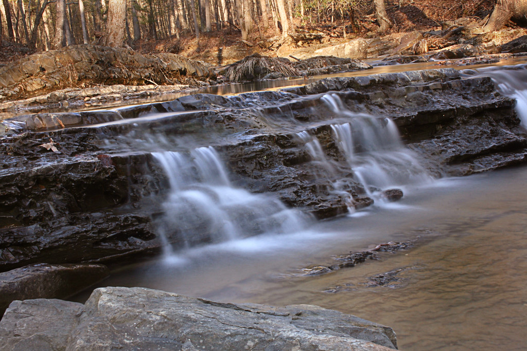
Maury in March
Low Clouds in Goshen Pass
Driving back from lewisburg WV on I64
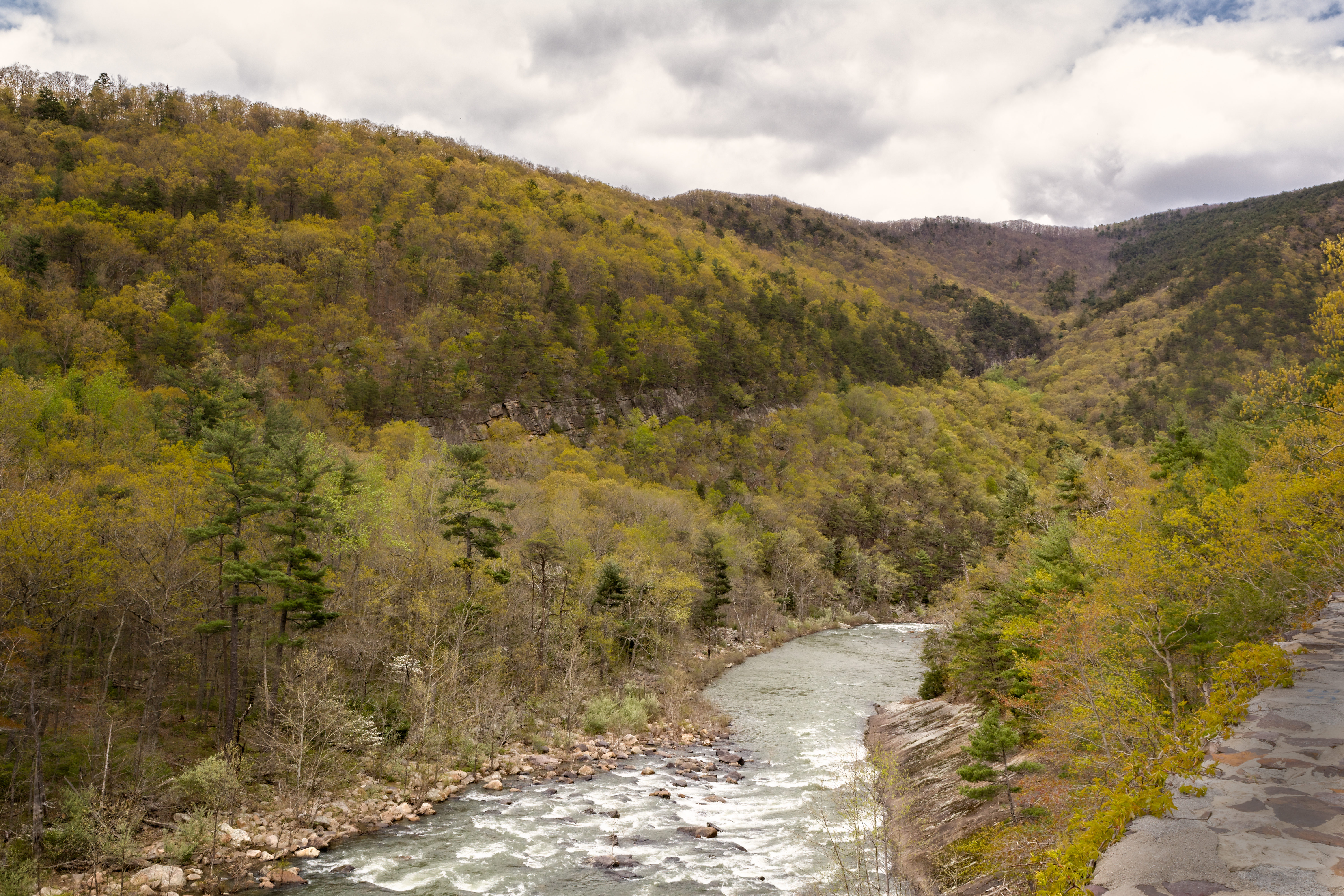
Maury River, Goshen Pass, Goshen Pass State Natural Area, Rockbridge County, Virginia 1
Maury River 0990.jpg
Central VA
Spring day in February

Variegated Fritillary
Autumn River in Virginia
DSC_5412.JPG
Maury River, Goshen Pass, Goshen Pass State Natural Area, Rockbridge County, Virginia 3
Summer Dreams
Topographic Map of 54 Irish Bank Ct, Goshen, VA, USA
Find elevation by address:

Places near 54 Irish Bank Ct, Goshen, VA, USA:
29 Pond View Ln
Rockbridge Alum Springs - A Young Life Camp
Millboro
Saddlebrook Road
Gilmer Creek Ln, Lexington, VA, USA
House Mountain Inn
135 Mountain Ridge Trail
Big House Mountain
7318 Cowpasture River Hwy
6972 Cowpasture River Hwy
Kerrs Creek
745 Honey Hollow Rd
1476 Fredericksburg Rd
302 Spring Farm Rd
550 Adair Hill
Jacktown Road
Kerrs Creek
Rockbridge County
Sehorn Hollow Road
822 Turnpike Rd
Recent Searches:
- Elevation map of Nagano Prefecture, Japan
- Elevation of 587, Bascule Drive, Oakdale, Stanislaus County, California, 95361, USA
- Elevation of Stadion Wankdorf, Sempachstrasse, Breitfeld, Bern, Bern-Mittelland administrative district, Bern, 3014, Switzerland
- Elevation of Z024, 76, Emil-von-Behring-Straße, Marbach, Marburg, Landkreis Marburg-Biedenkopf, Hesse, 35041, Germany
- Elevation of Gaskill Road, Hunts Cross, Liverpool, England, L24 9PH, United Kingdom
- Elevation of Speke, Liverpool, England, L24 9HD, United Kingdom
- Elevation of Seqirus, 475, Green Oaks Parkway, Holly Springs, Wake County, North Carolina, 27540, USA
- Elevation of Pasing, Munich, Bavaria, 81241, Germany
- Elevation of 24, Auburn Bay Crescent SE, Auburn Bay, Calgary, Alberta, T3M 0A6, Canada
- Elevation of Denver, 2314, Arapahoe Street, Five Points, Denver, Colorado, 80205, USA
- Elevation of Community of the Beatitudes, 2924, West 43rd Avenue, Sunnyside, Denver, Colorado, 80211, USA
- Elevation map of Litang County, Sichuan, China
- Elevation map of Madoi County, Qinghai, China
- Elevation of 3314, Ohio State Route 114, Payne, Paulding County, Ohio, 45880, USA
- Elevation of Sarahills Drive, Saratoga, Santa Clara County, California, 95070, USA
- Elevation of Town of Bombay, Franklin County, New York, USA
- Elevation of 9, Convent Lane, Center Moriches, Suffolk County, New York, 11934, USA
- Elevation of Saint Angelas Convent, 9, Convent Lane, Center Moriches, Suffolk County, New York, 11934, USA
- Elevation of 131st Street Southwest, Mukilteo, Snohomish County, Washington, 98275, USA
- Elevation of 304, Harrison Road, Naples, Cumberland County, Maine, 04055, USA