Elevation of Adair Hill, Rockbridge Baths, VA, USA
Location: United States > Virginia > Rockbridge County > Kerrs Creek > Kerrs Creek >
Longitude: -79.4562825
Latitude: 37.8608318
Elevation: 434m / 1424feet
Barometric Pressure: 0KPa
Related Photos:
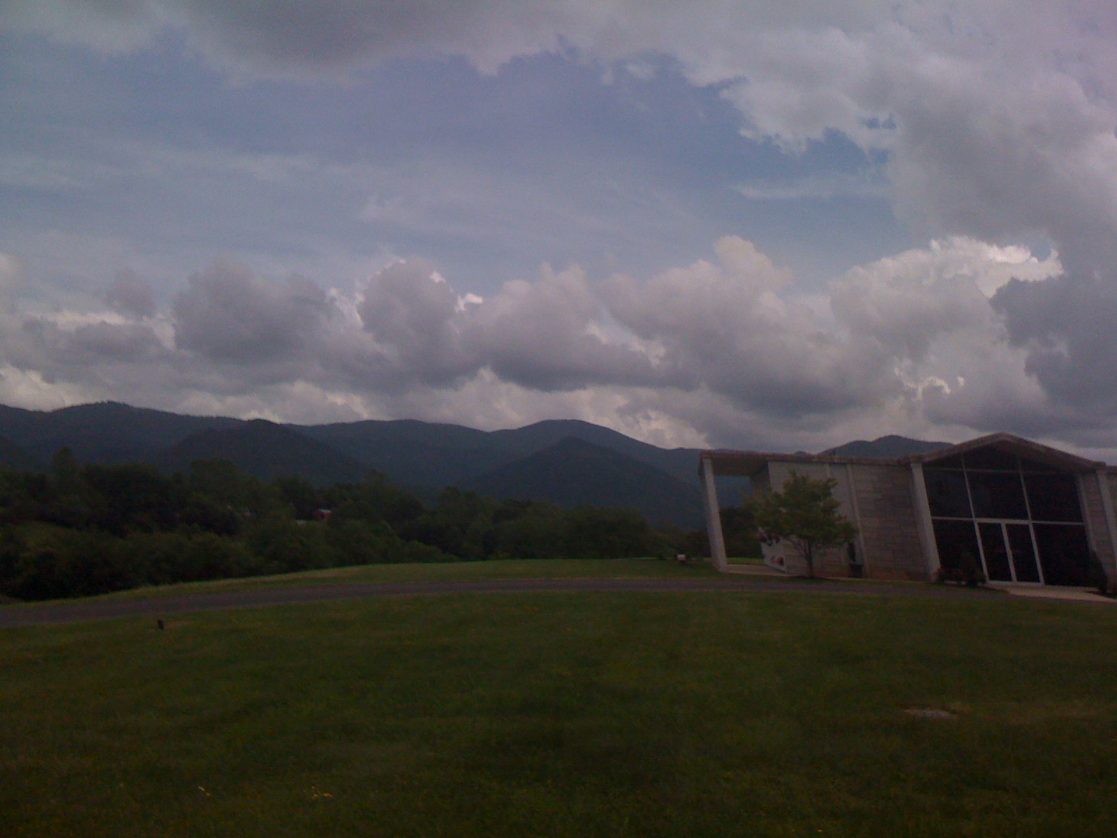
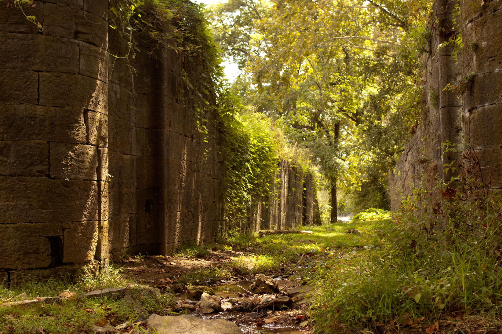
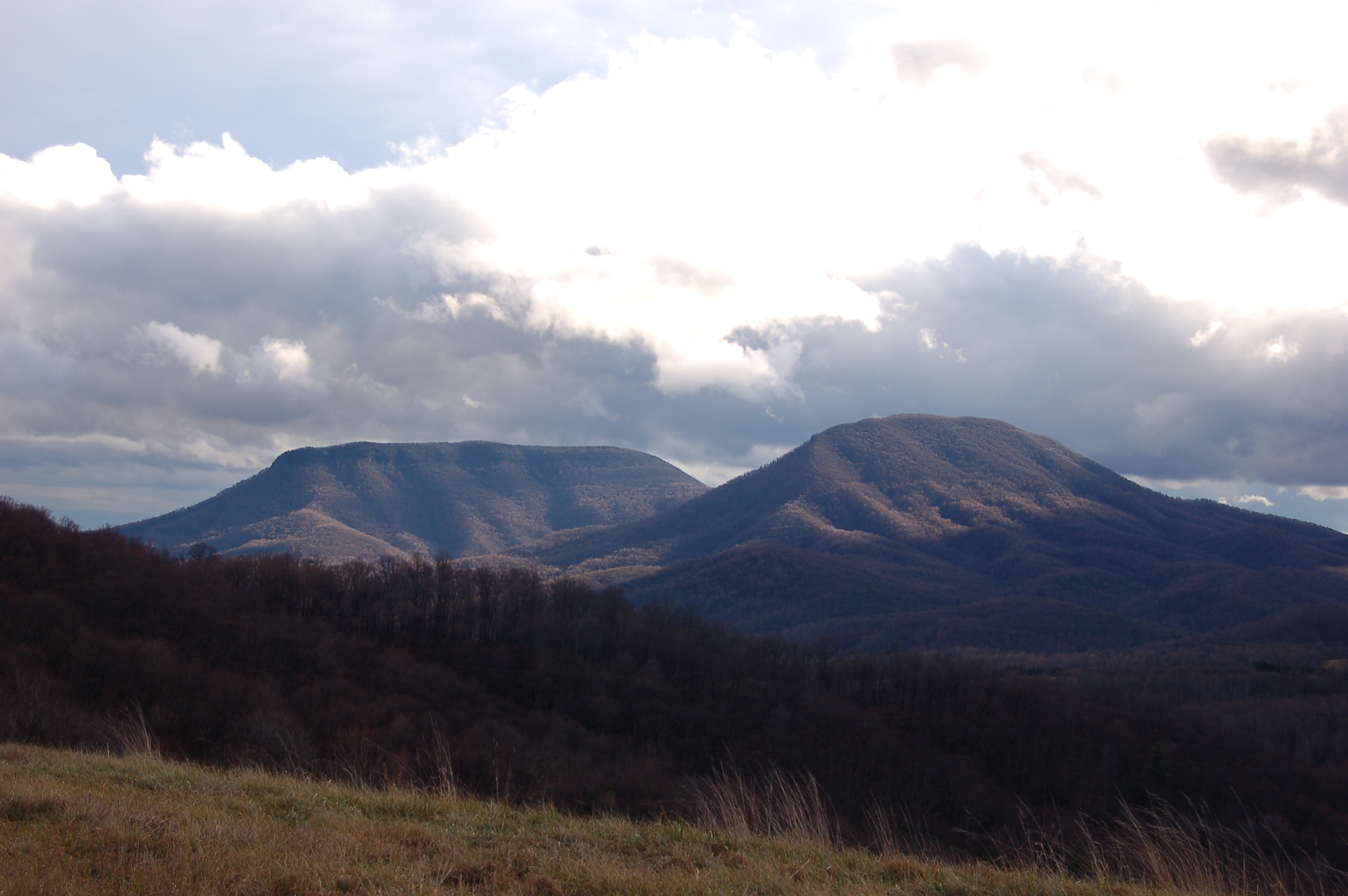
View from North Mountain
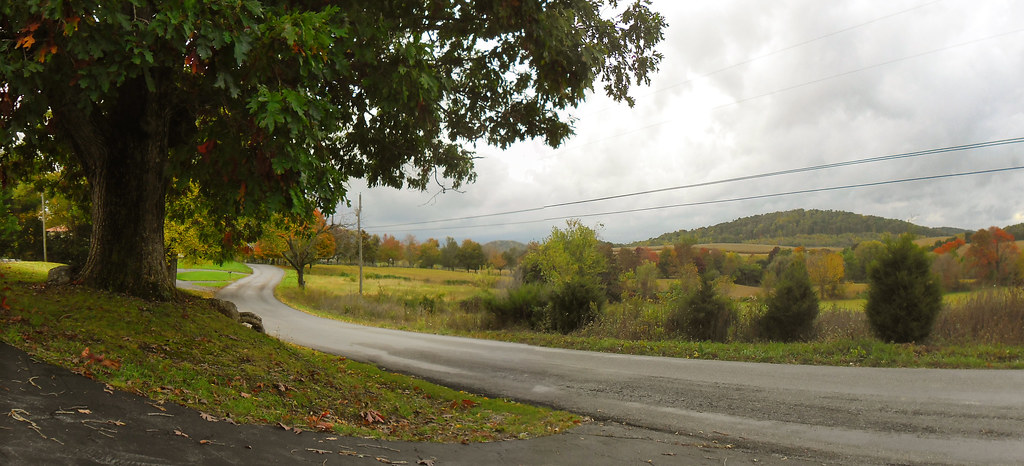
Old Farm Road

Rock Climber

For your patriotic viewing pleasure
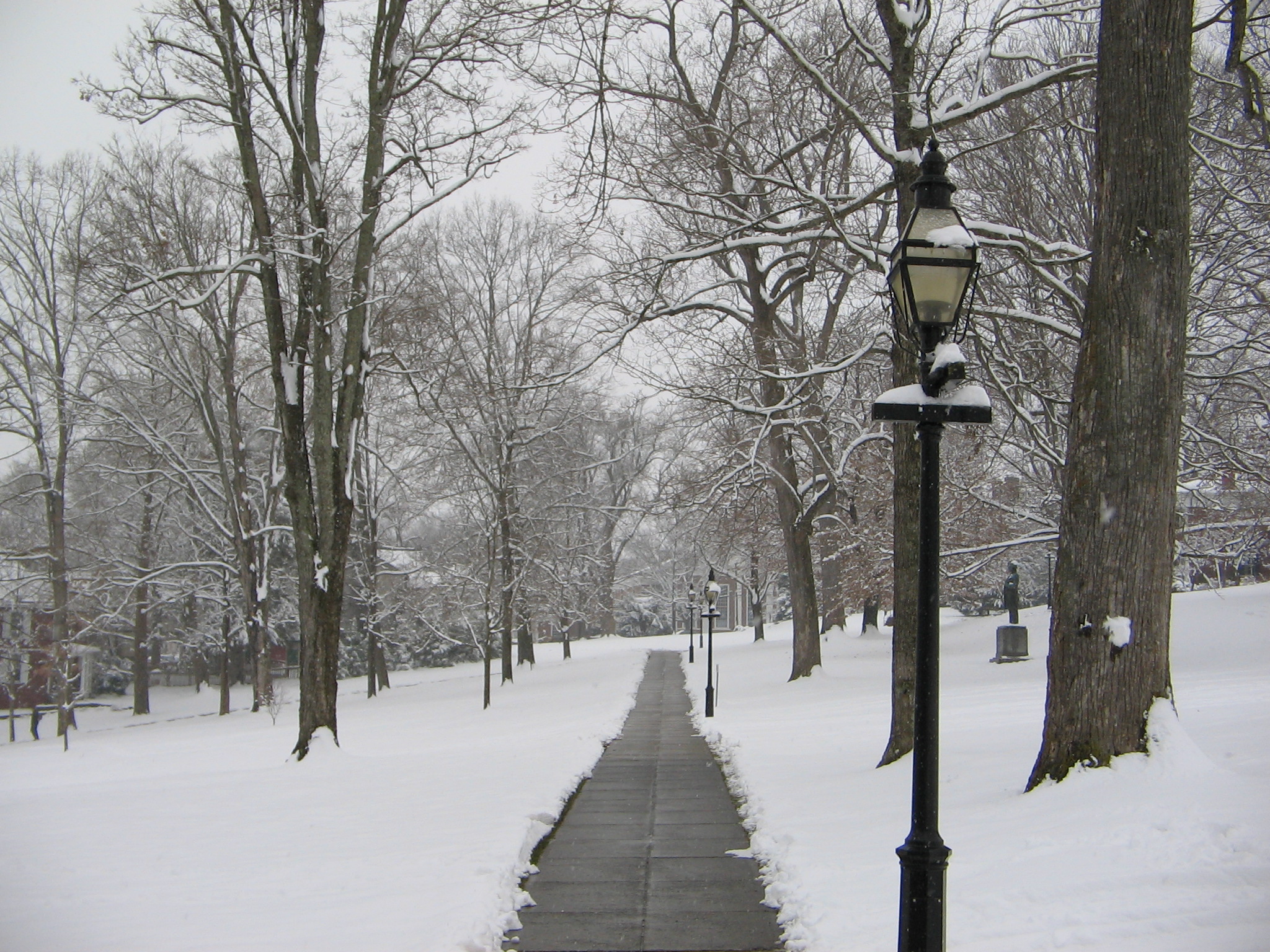
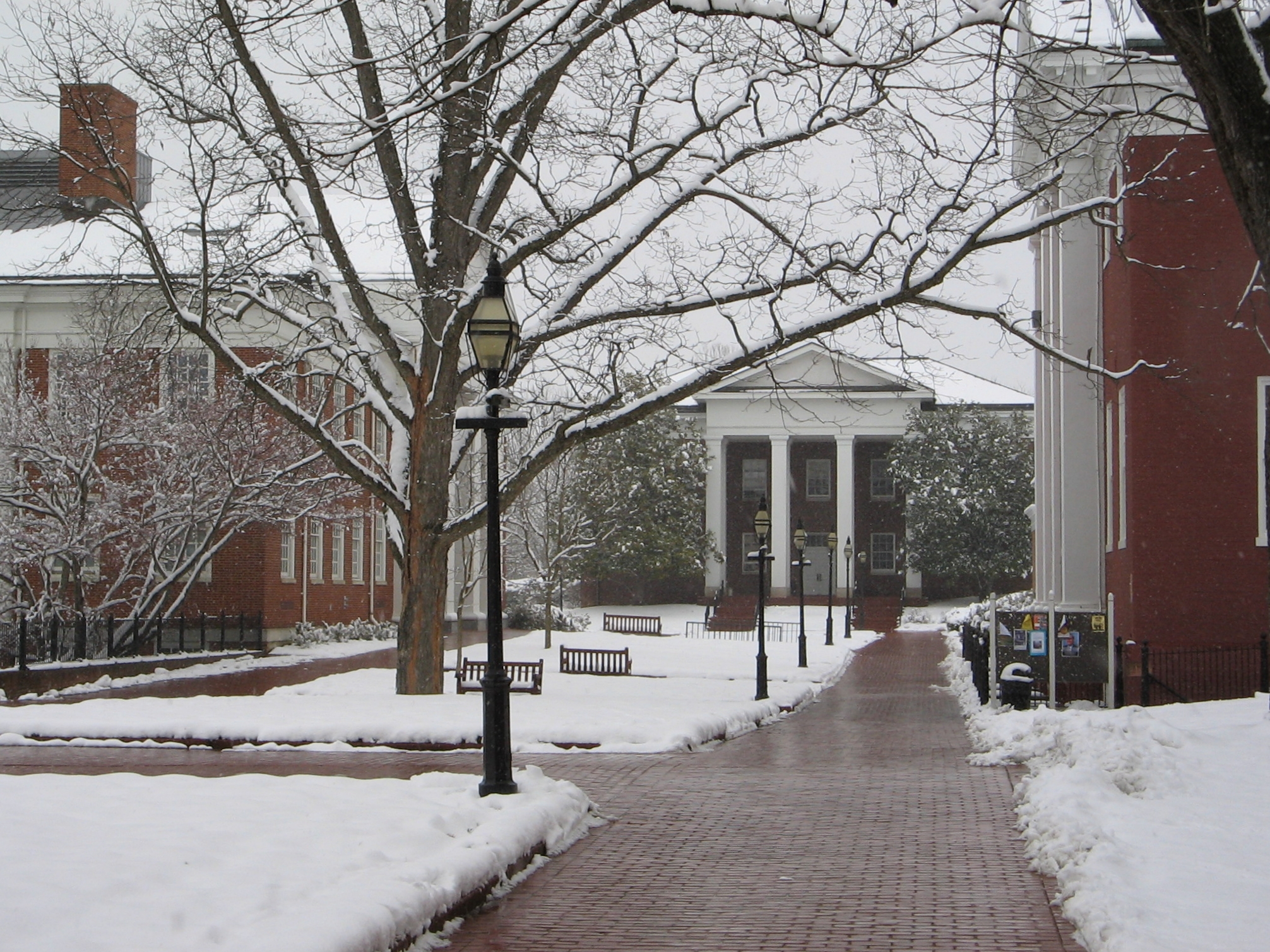
Washington and Lee University Campus
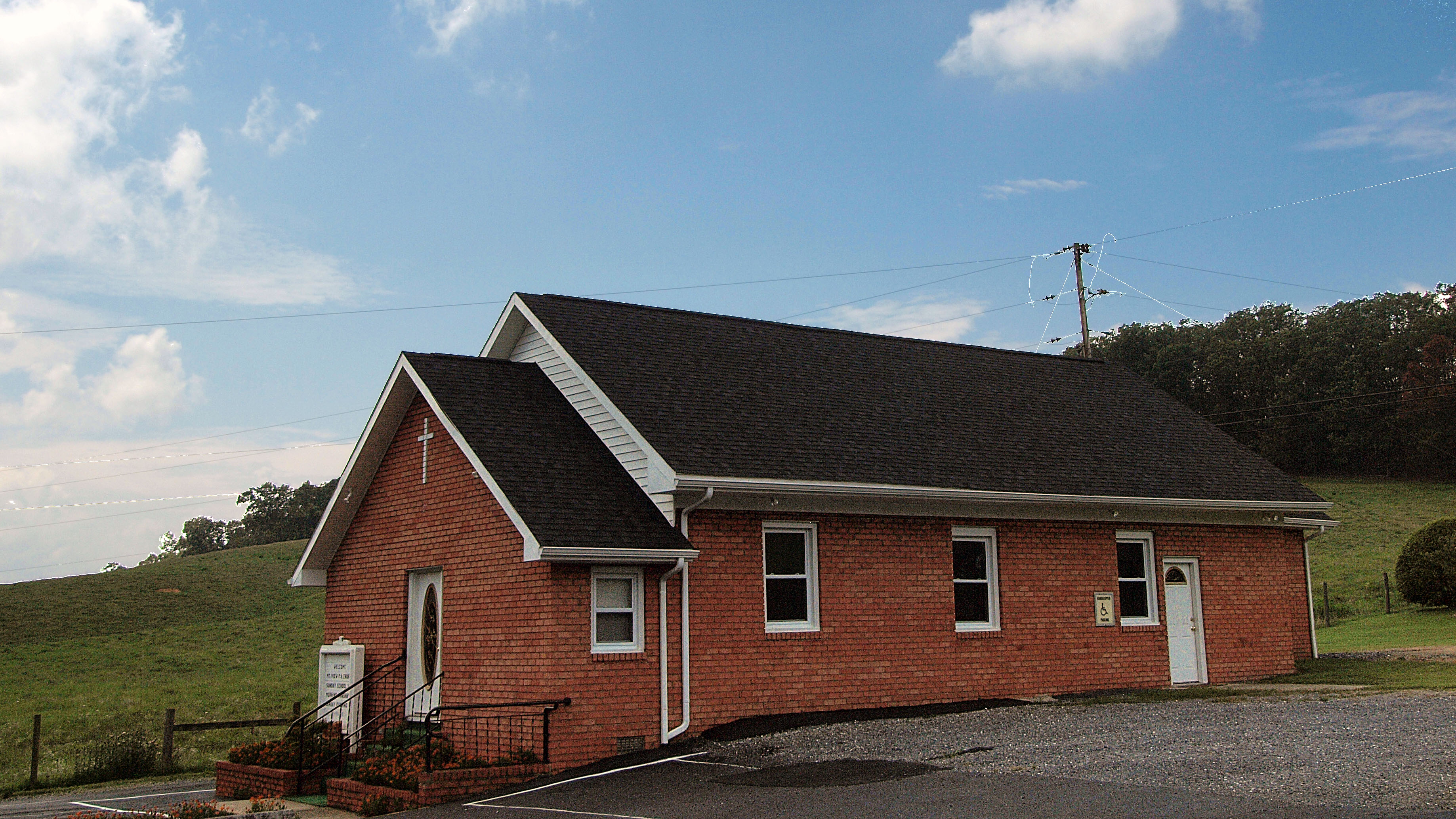
Mt. View Pentacostal
Meandering Mackey's Lane
Washington and Lee University Campus
Washington and Lee University Campus

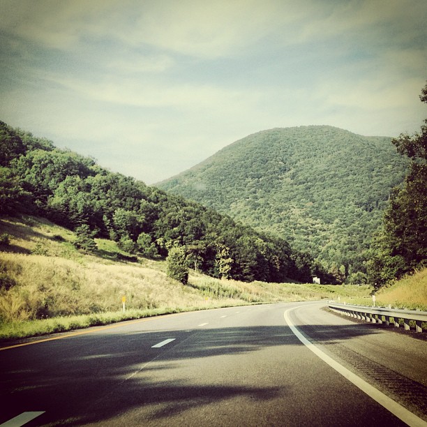
Blue Ridge Parkway
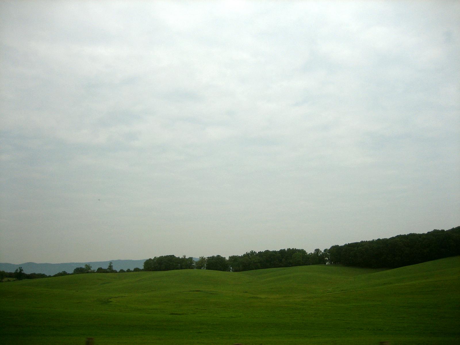
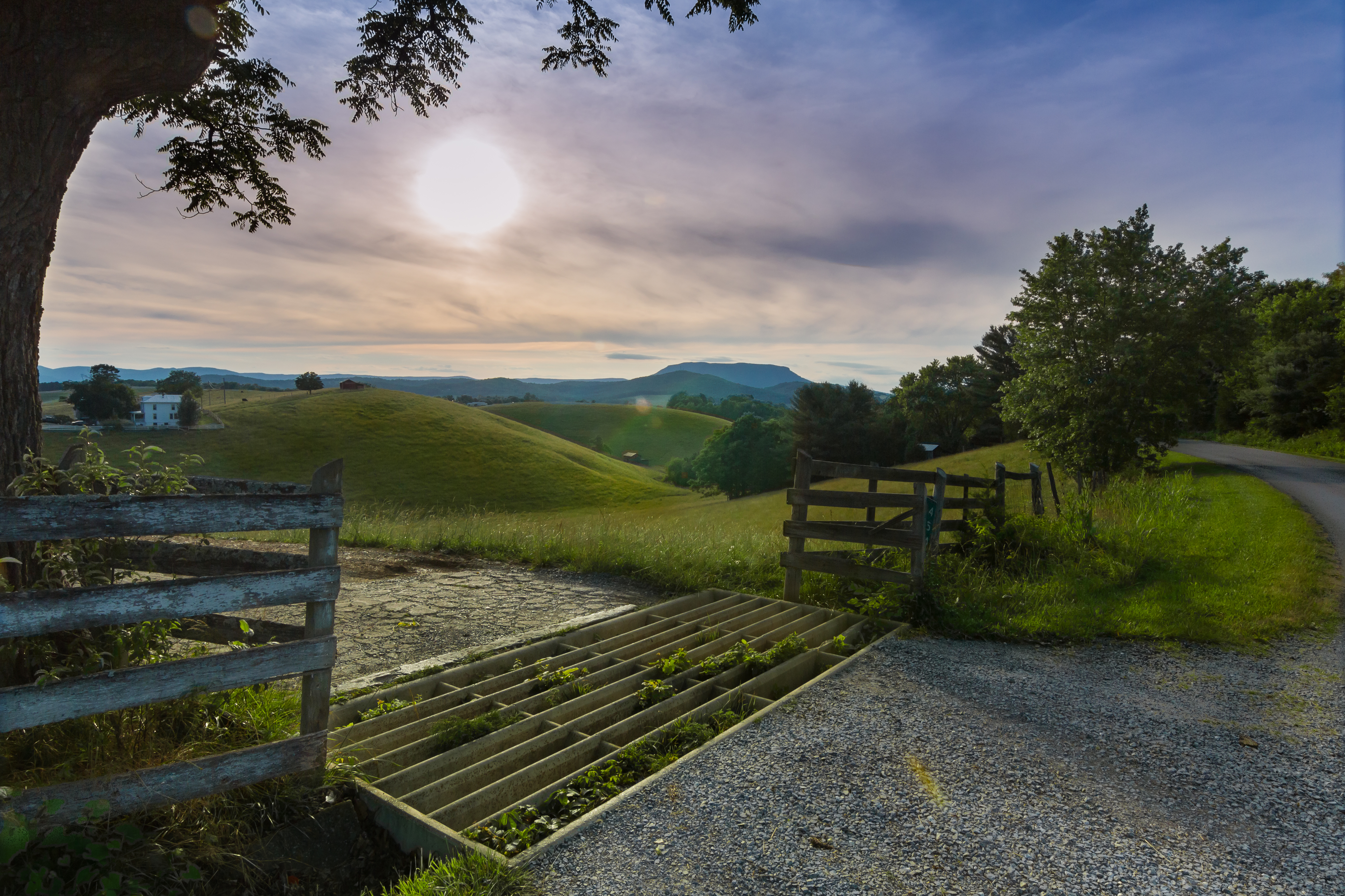
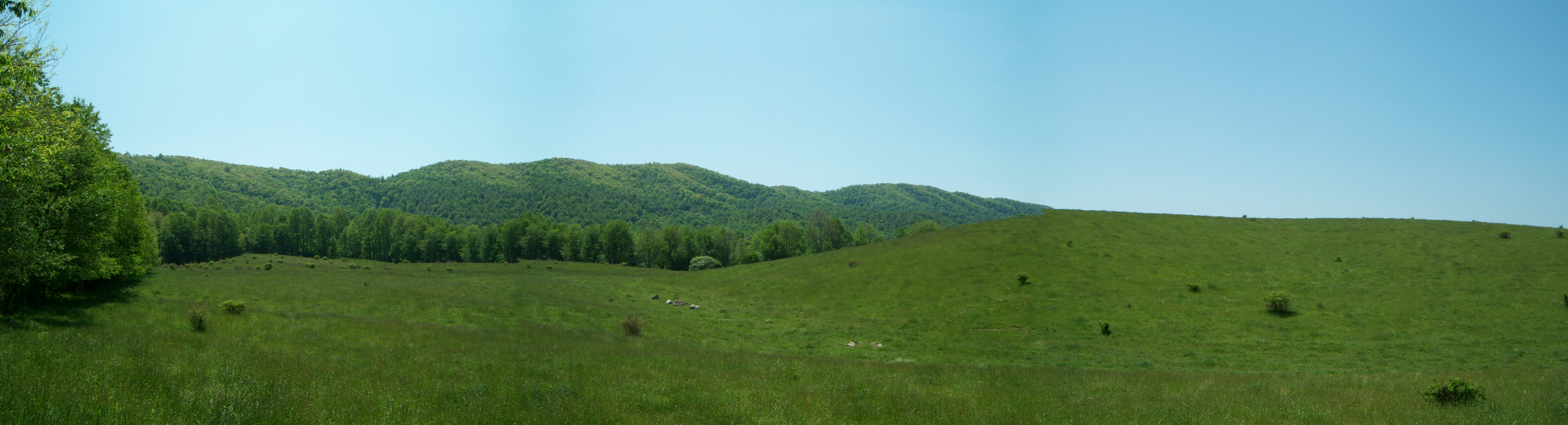
Rolling Hills

Sunset in Lexington
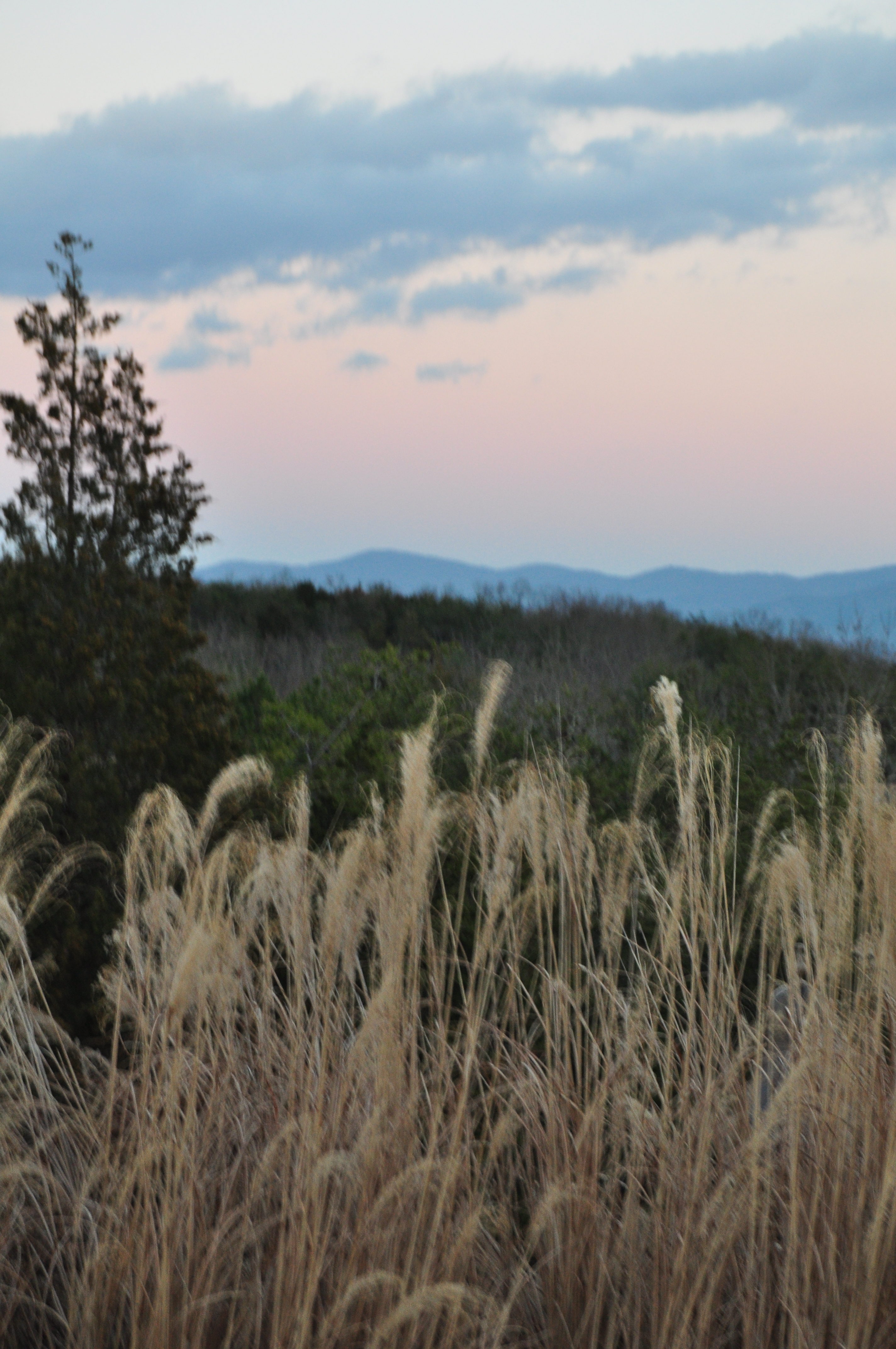
View of the Valley
Timber Ridge Presbyterian Church

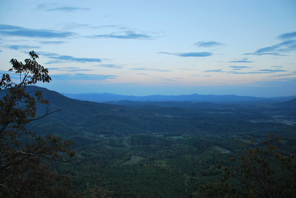
View from North Mountain
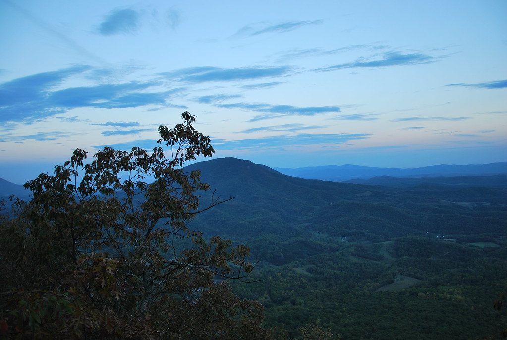
View from North Mountain

Parade Grounds at Virginia Military Institute
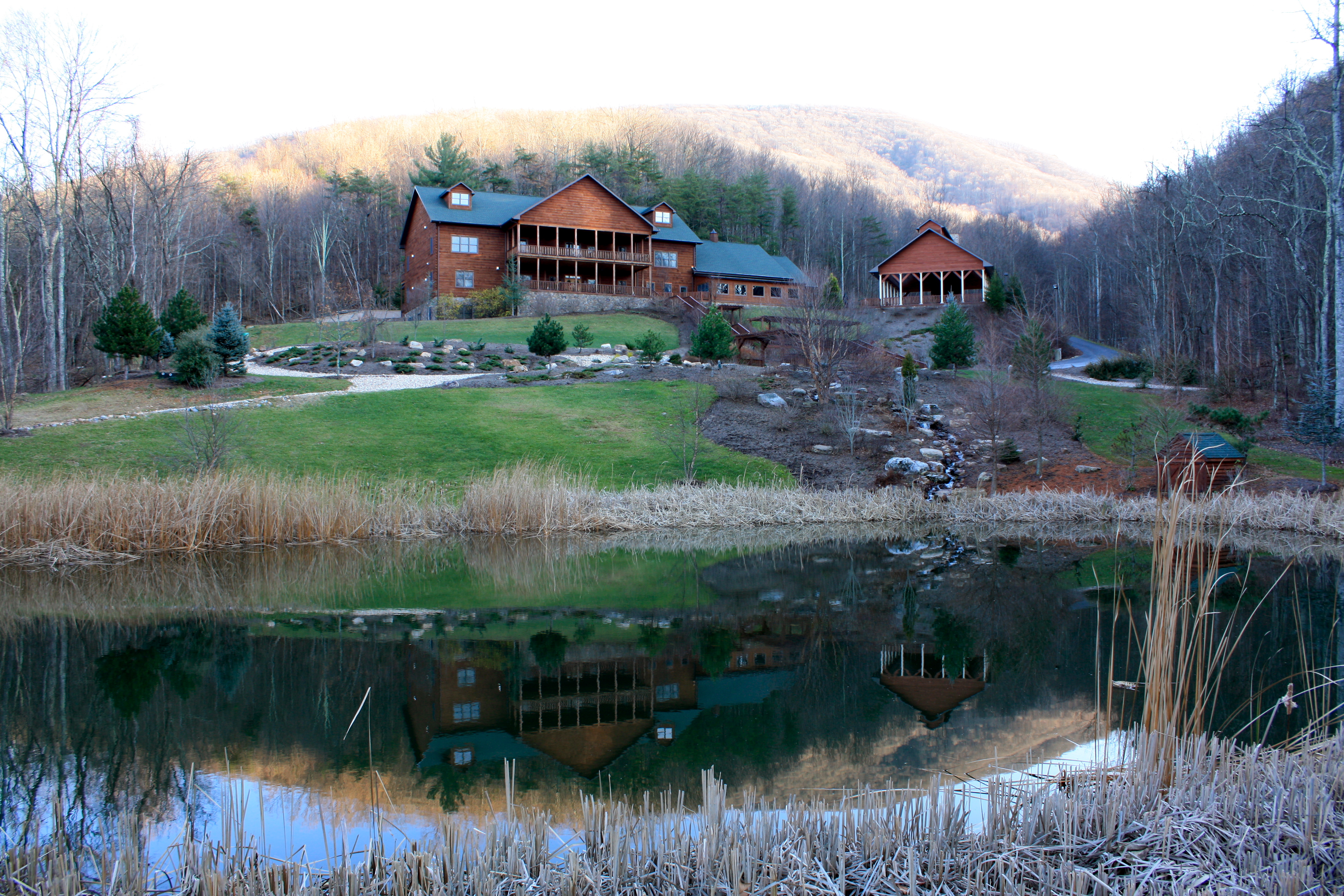
House Mountain Inn

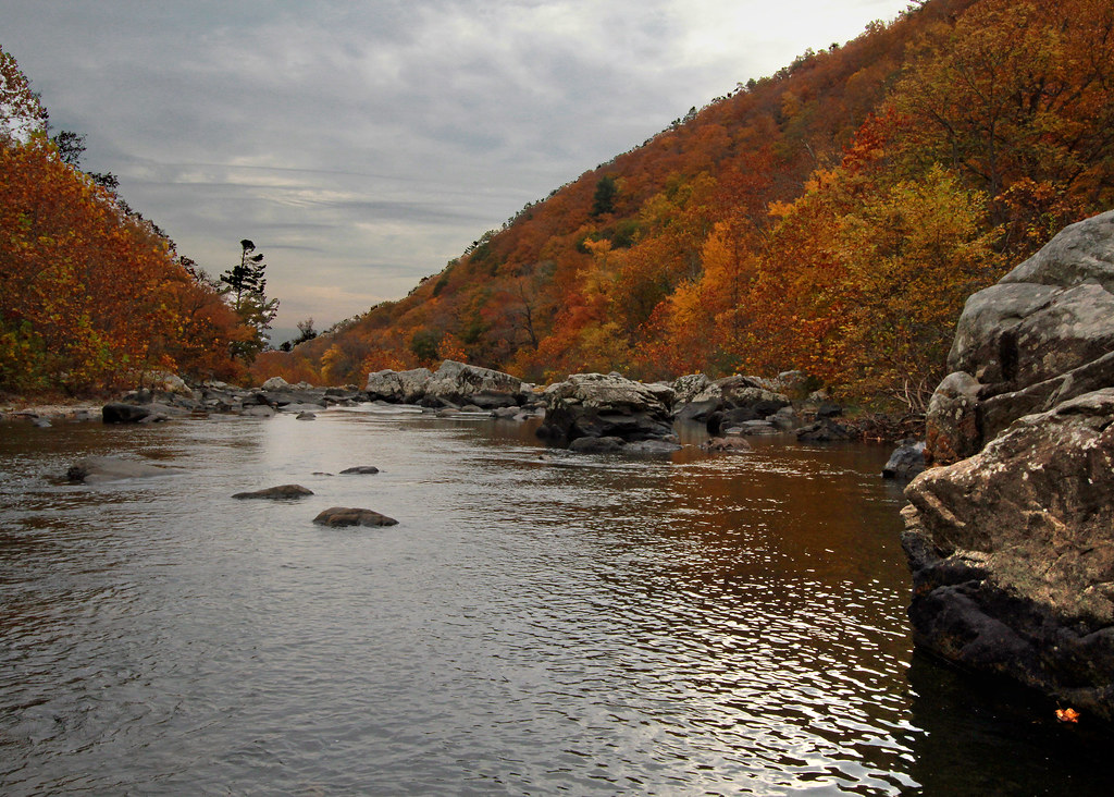
Maury River, Goshen Pass, Virginia
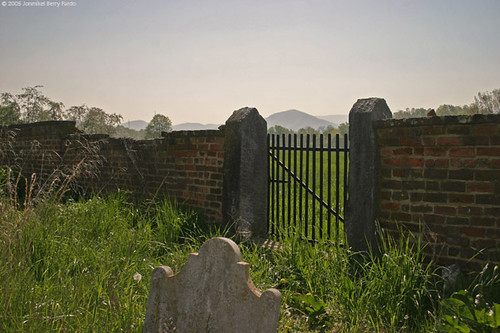
View from the Cemetery, Buena Vista, Virginia

View from North Mountain
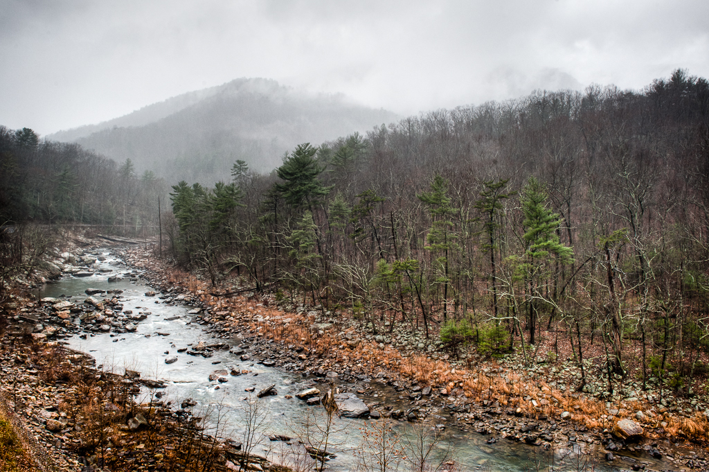
Overcast Autumn Day in Goshen Pass
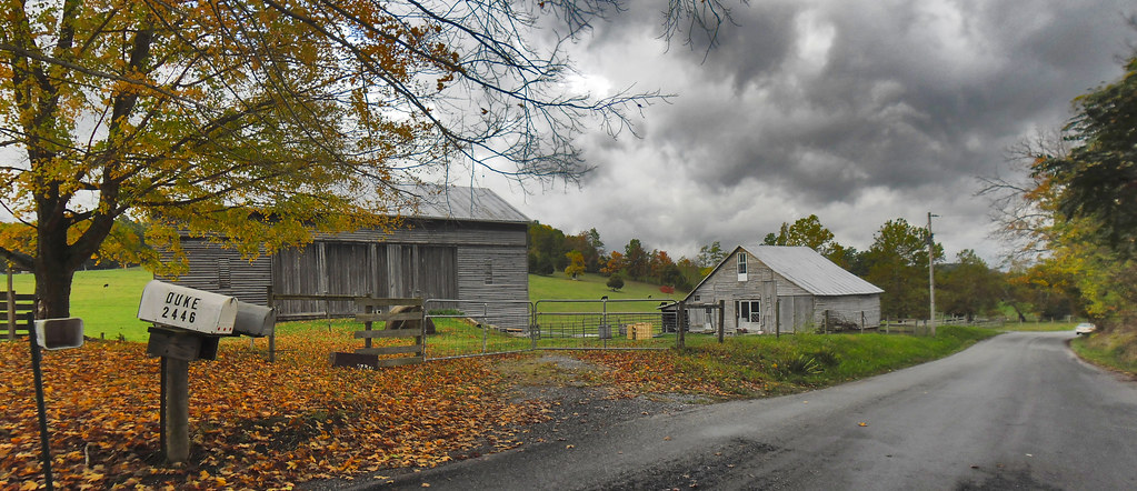
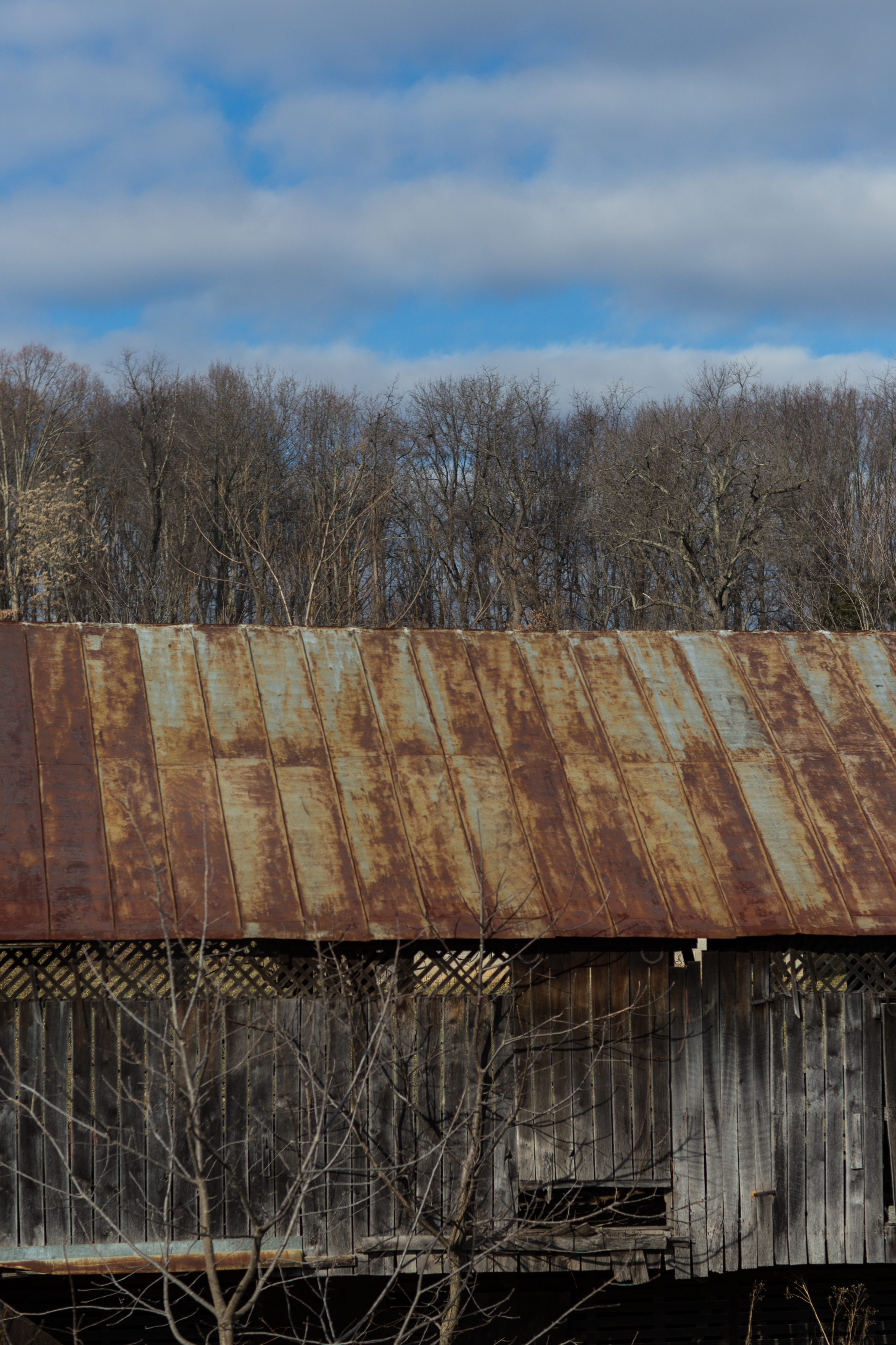
A Small Farm on a Rainy Day

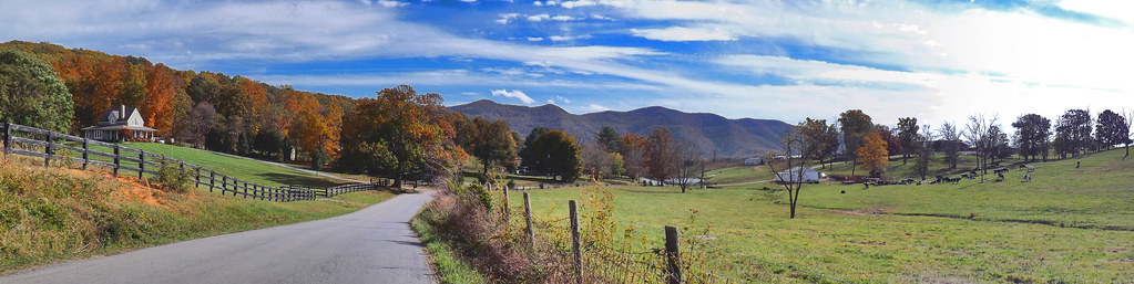
Rockbridge County Va.
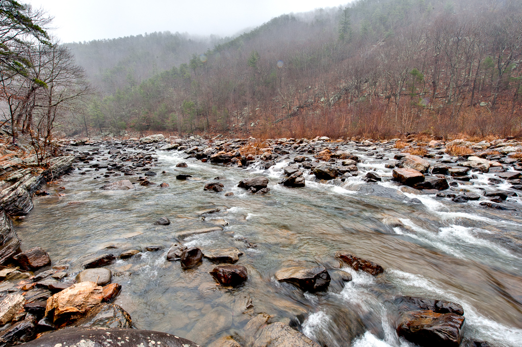
Scouting Goshen Pass

Maury in March
Low Clouds in Goshen Pass
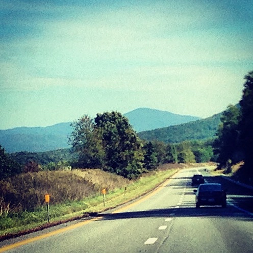
Driving back from lewisburg WV on I64

walk up me, these steps say
The New House Across from the Cattle Farm

Dusk and low clouds in Virginia
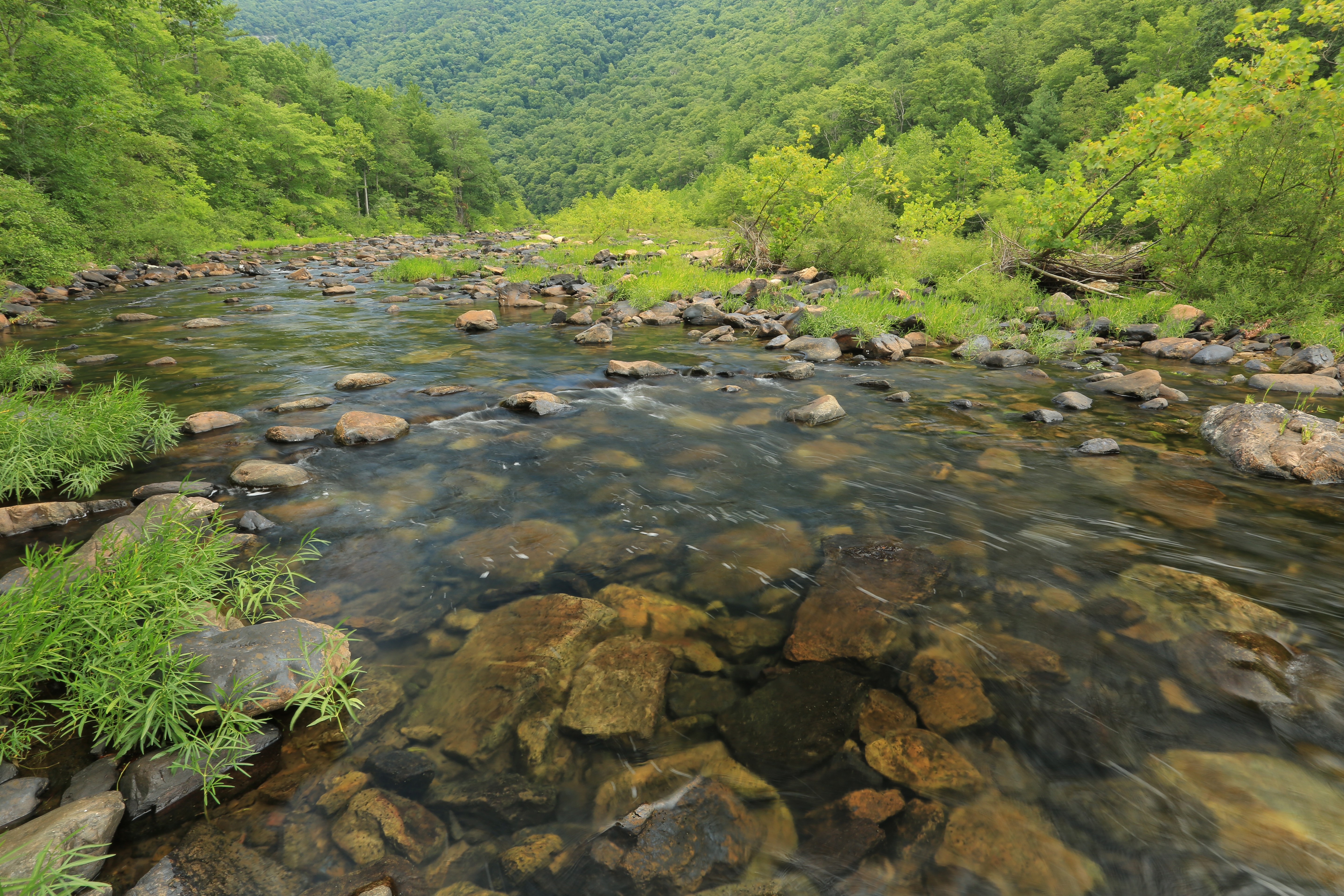
Maury River, Goshen Pass, Goshen Pass State Natural Area, Rockbridge County, Virginia 1

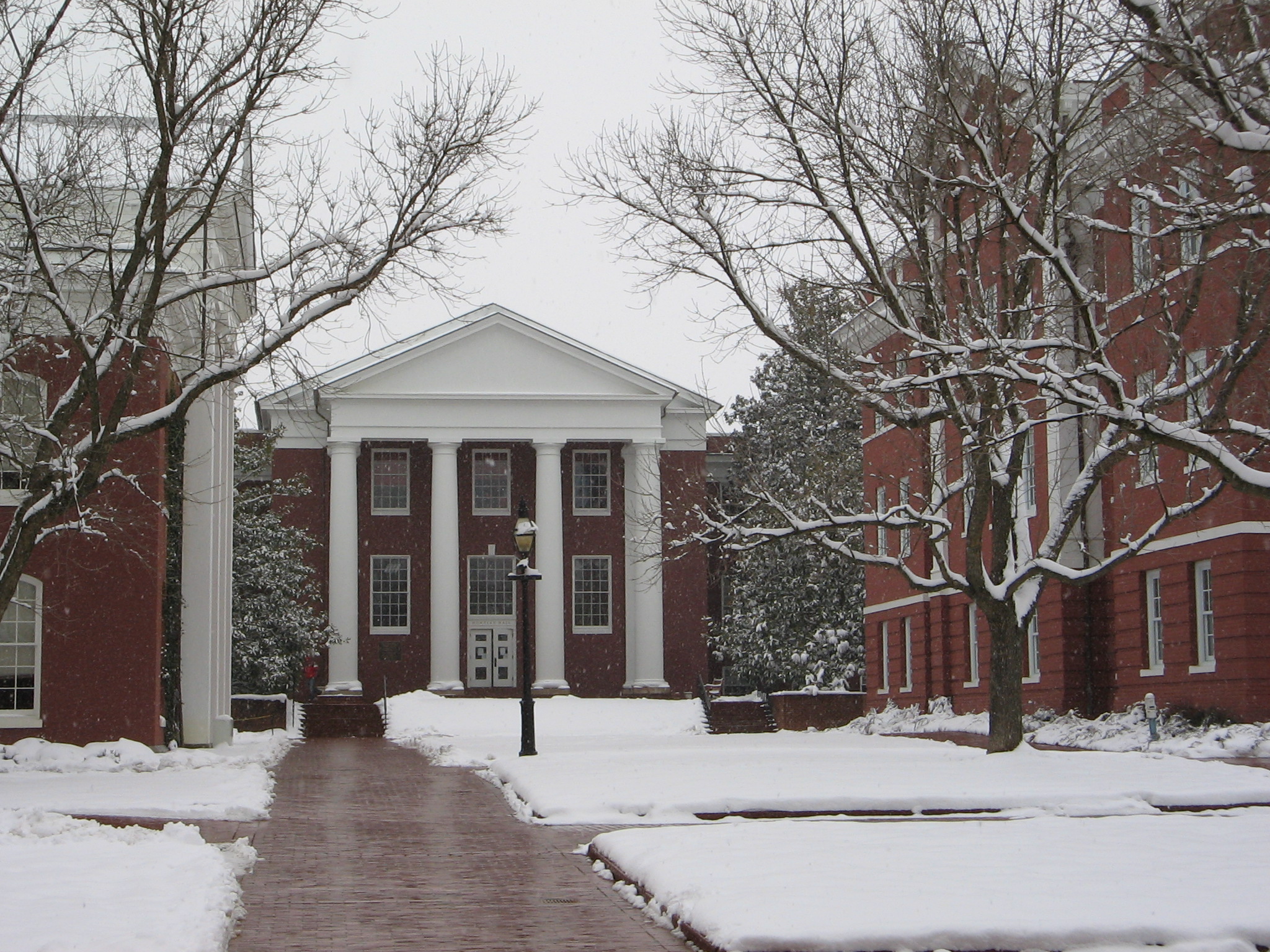
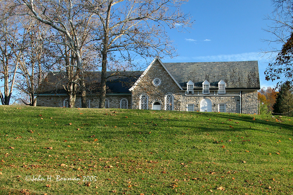
Lee Chapel - Washington & Lee University - Lexington, Virginia
Run the gauntlet
she'll be coming 'round the mountain when she comes...
such beauty
Central VA
IMG_6668.jpg
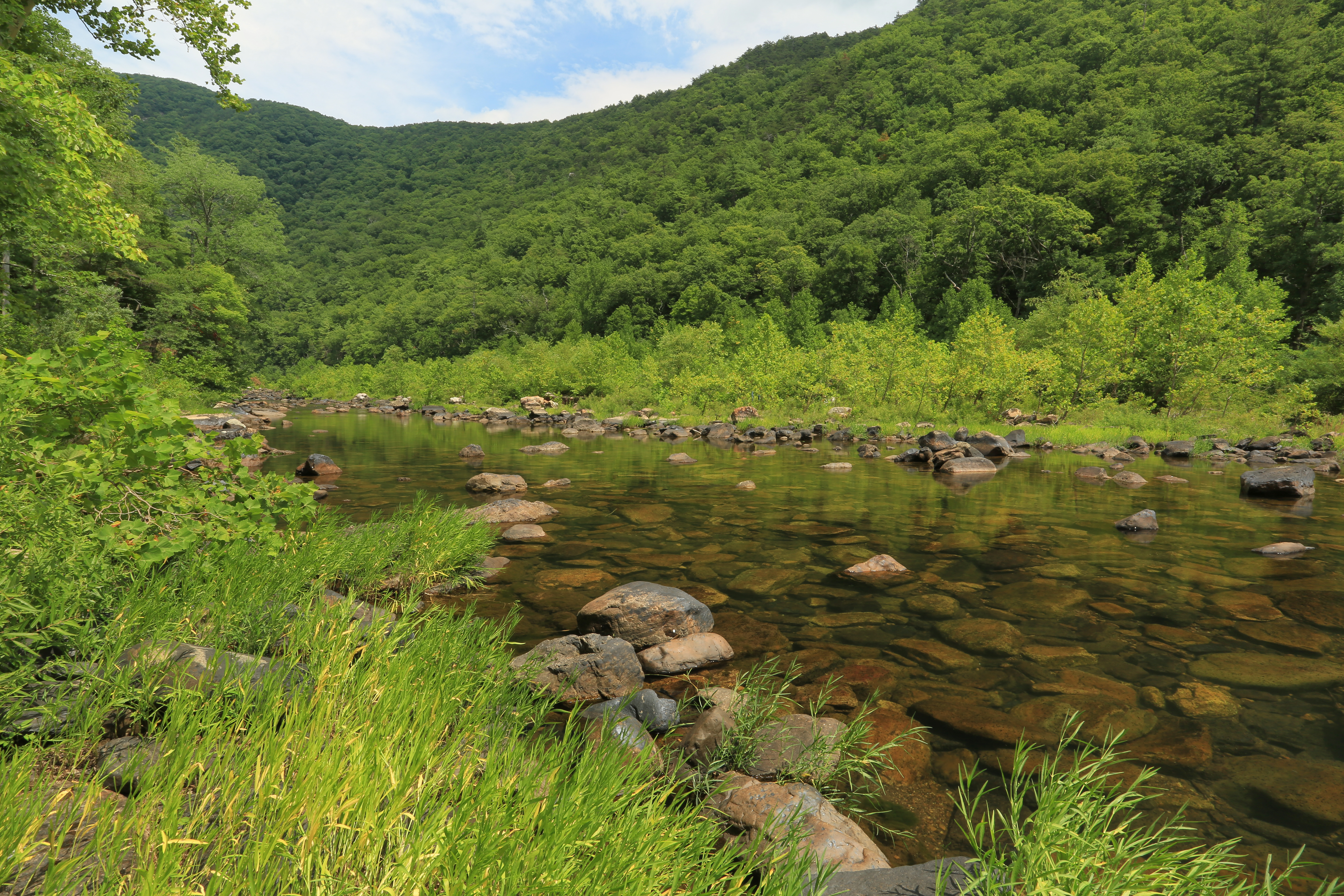
Maury River, Goshen Pass, Goshen Pass State Natural Area, Rockbridge County, Virginia 3
DSC_5412.JPG
.
Topographic Map of Adair Hill, Rockbridge Baths, VA, USA
Find elevation by address:

Places near Adair Hill, Rockbridge Baths, VA, USA:
1476 Fredericksburg Rd
Kerrs Creek
Gilmer Creek Ln, Lexington, VA, USA
Saddlebrook Road
302 Spring Farm Rd
Jacktown Road
Kerrs Creek
Rockbridge County
822 Turnpike Rd
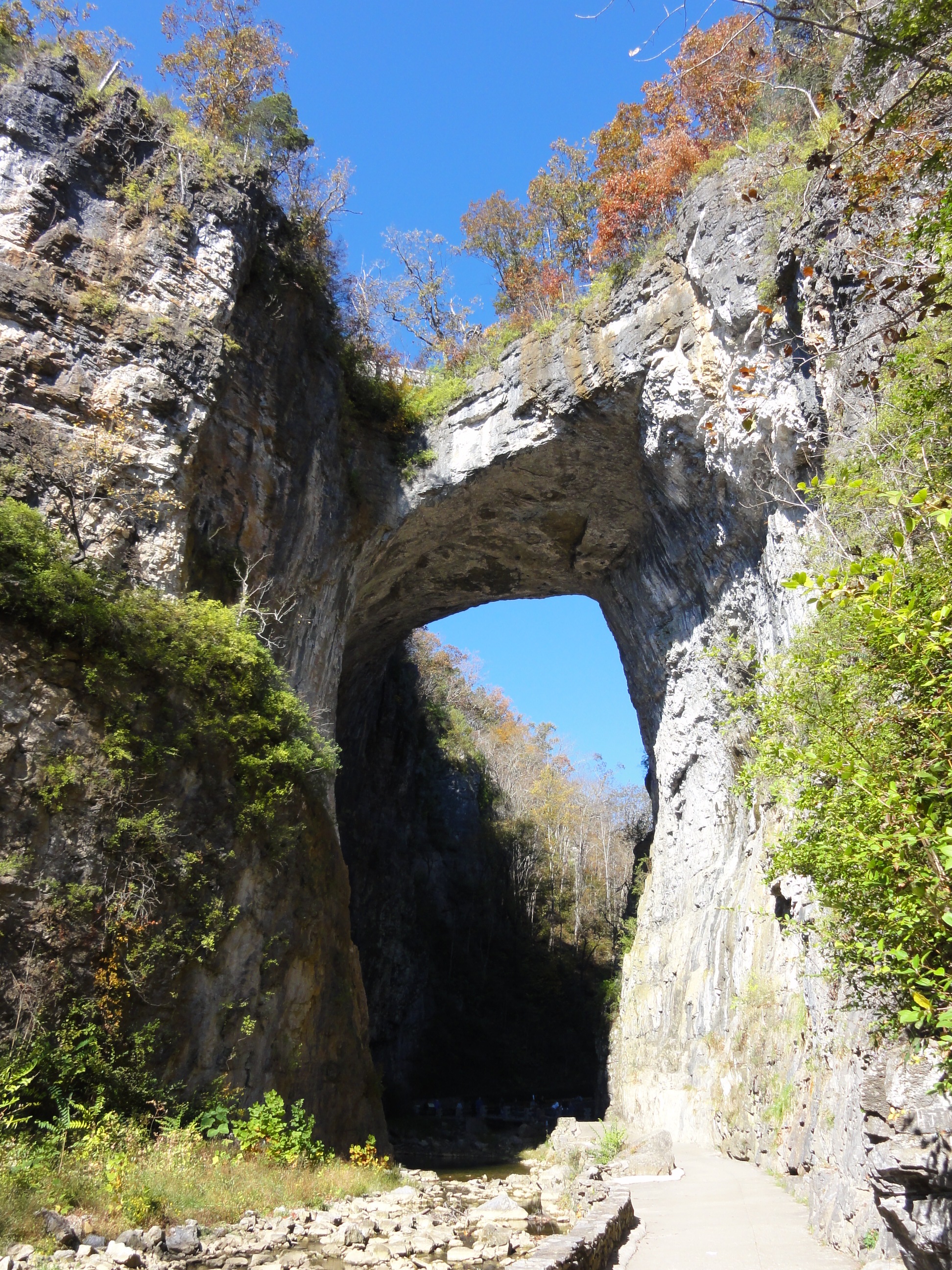
Big House Mountain
House Mountain Inn
29 Pond View Ln
54 Irish Bank Ct
135 Mountain Ridge Trail
Sehorn Hollow Road
Rockbridge Alum Springs - A Young Life Camp
745 Honey Hollow Rd
Millboro
7318 Cowpasture River Hwy
6972 Cowpasture River Hwy
Recent Searches:
- Elevation of Pasing, Munich, Bavaria, 81241, Germany
- Elevation of 24, Auburn Bay Crescent SE, Auburn Bay, Calgary, Alberta, T3M 0A6, Canada
- Elevation of Denver, 2314, Arapahoe Street, Five Points, Denver, Colorado, 80205, USA
- Elevation of Community of the Beatitudes, 2924, West 43rd Avenue, Sunnyside, Denver, Colorado, 80211, USA
- Elevation map of Litang County, Sichuan, China
- Elevation map of Madoi County, Qinghai, China
- Elevation of 3314, Ohio State Route 114, Payne, Paulding County, Ohio, 45880, USA
- Elevation of Sarahills Drive, Saratoga, Santa Clara County, California, 95070, USA
- Elevation of Town of Bombay, Franklin County, New York, USA
- Elevation of 9, Convent Lane, Center Moriches, Suffolk County, New York, 11934, USA
- Elevation of Saint Angelas Convent, 9, Convent Lane, Center Moriches, Suffolk County, New York, 11934, USA
- Elevation of 131st Street Southwest, Mukilteo, Snohomish County, Washington, 98275, USA
- Elevation of 304, Harrison Road, Naples, Cumberland County, Maine, 04055, USA
- Elevation of 2362, Timber Ridge Road, Harrisburg, Cabarrus County, North Carolina, 28075, USA
- Elevation of Ridge Road, Marshalltown, Marshall County, Iowa, 50158, USA
- Elevation of 2459, Misty Shadows Drive, Pigeon Forge, Sevier County, Tennessee, 37862, USA
- Elevation of 8043, Brightwater Way, Spring Hill, Williamson County, Tennessee, 37179, USA
- Elevation of Starkweather Road, San Luis, Costilla County, Colorado, 81152, USA
- Elevation of 5277, Woodside Drive, Baton Rouge, East Baton Rouge Parish, Louisiana, 70808, USA
- Elevation of 1139, Curtin Street, Shepherd Park Plaza, Houston, Harris County, Texas, 77018, USA