Elevation of Gilmer Creek Ln, Lexington, VA, USA
Location: United States > Virginia > Rockbridge County > Kerrs Creek >
Longitude: -79.501523
Latitude: 37.8780164
Elevation: 453m / 1486feet
Barometric Pressure: 96KPa
Elevation Map:
Satellite Map:
Related Photos:
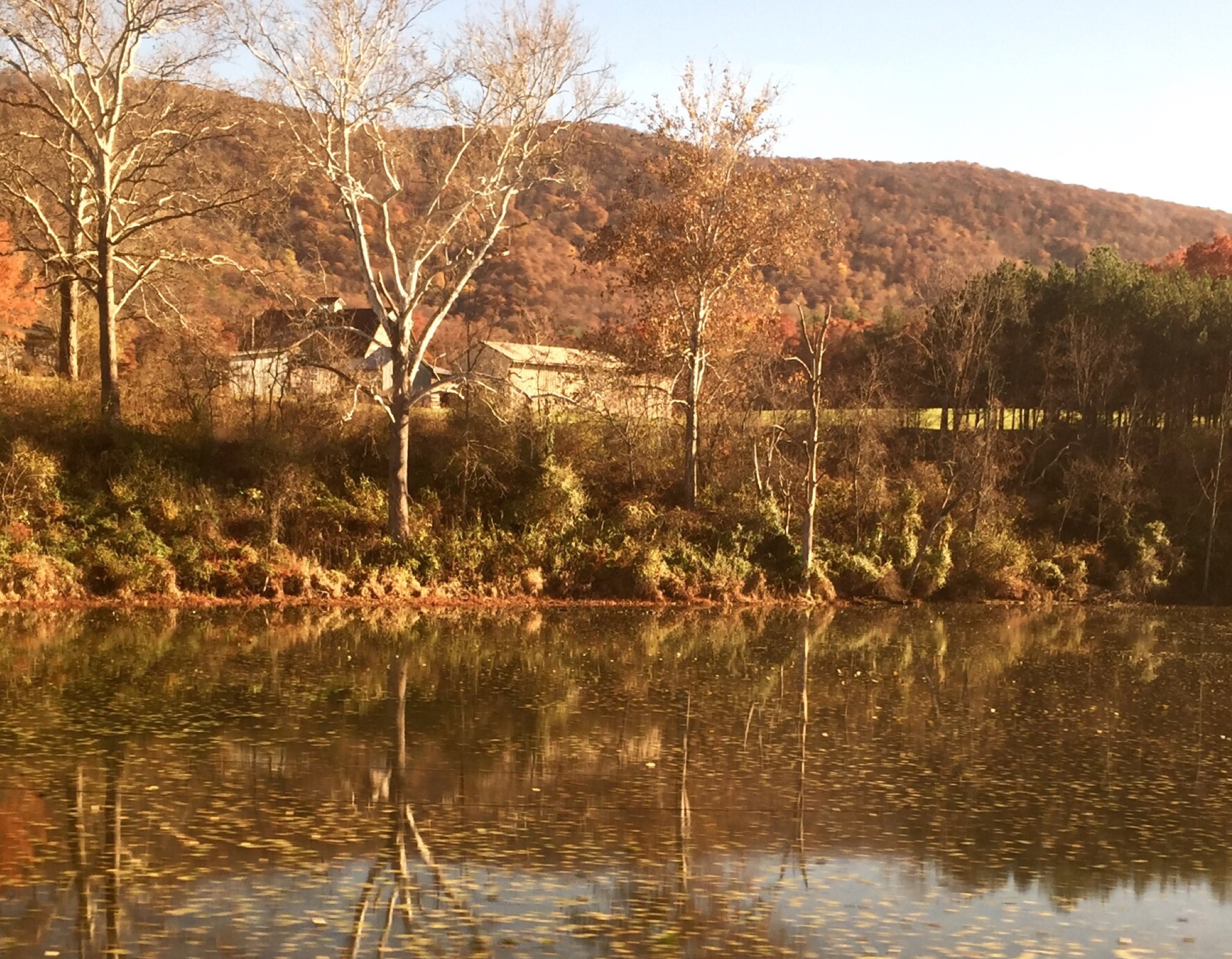
Passing by a pond in the Fall
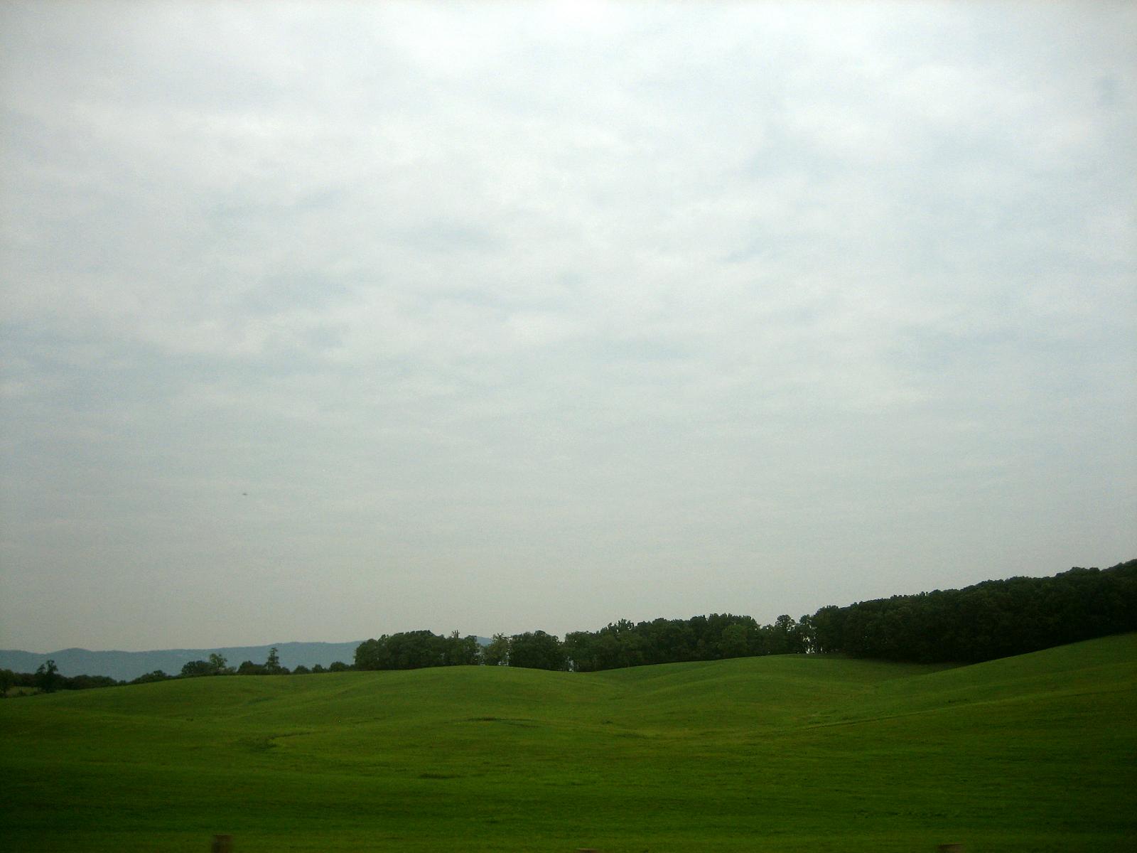
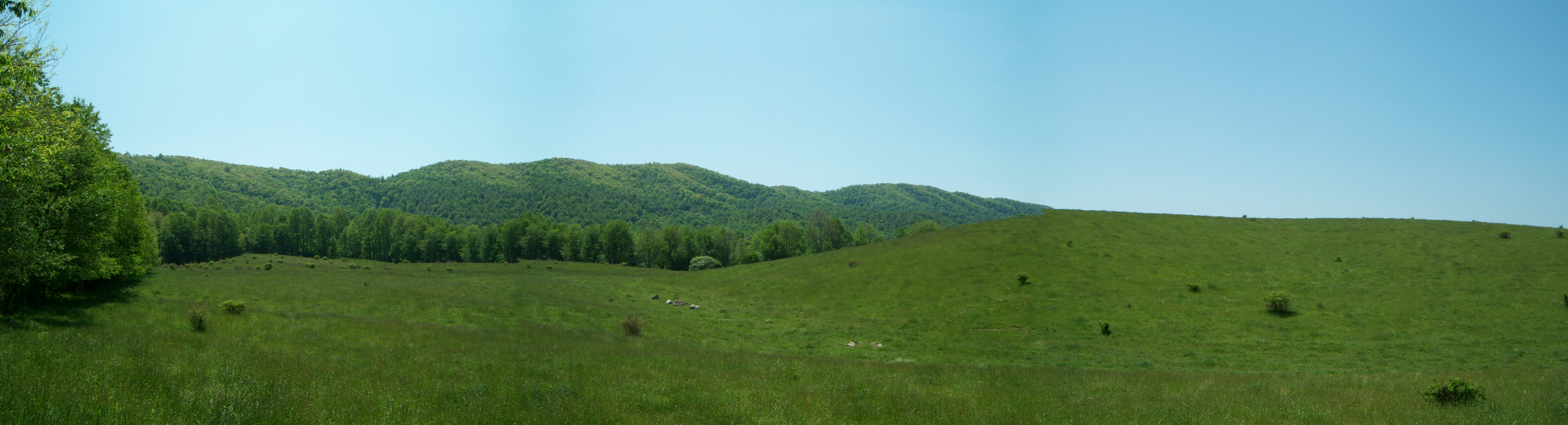
Rolling Hills

Sunset in Lexington
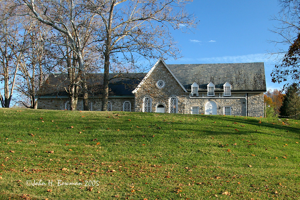
Timber Ridge Presbyterian Church
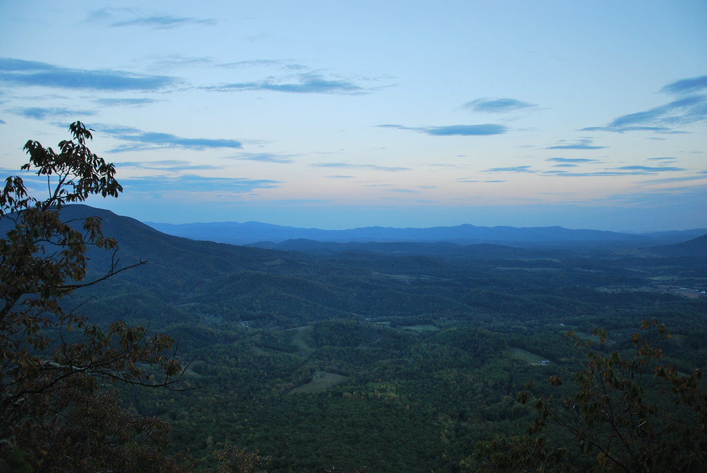
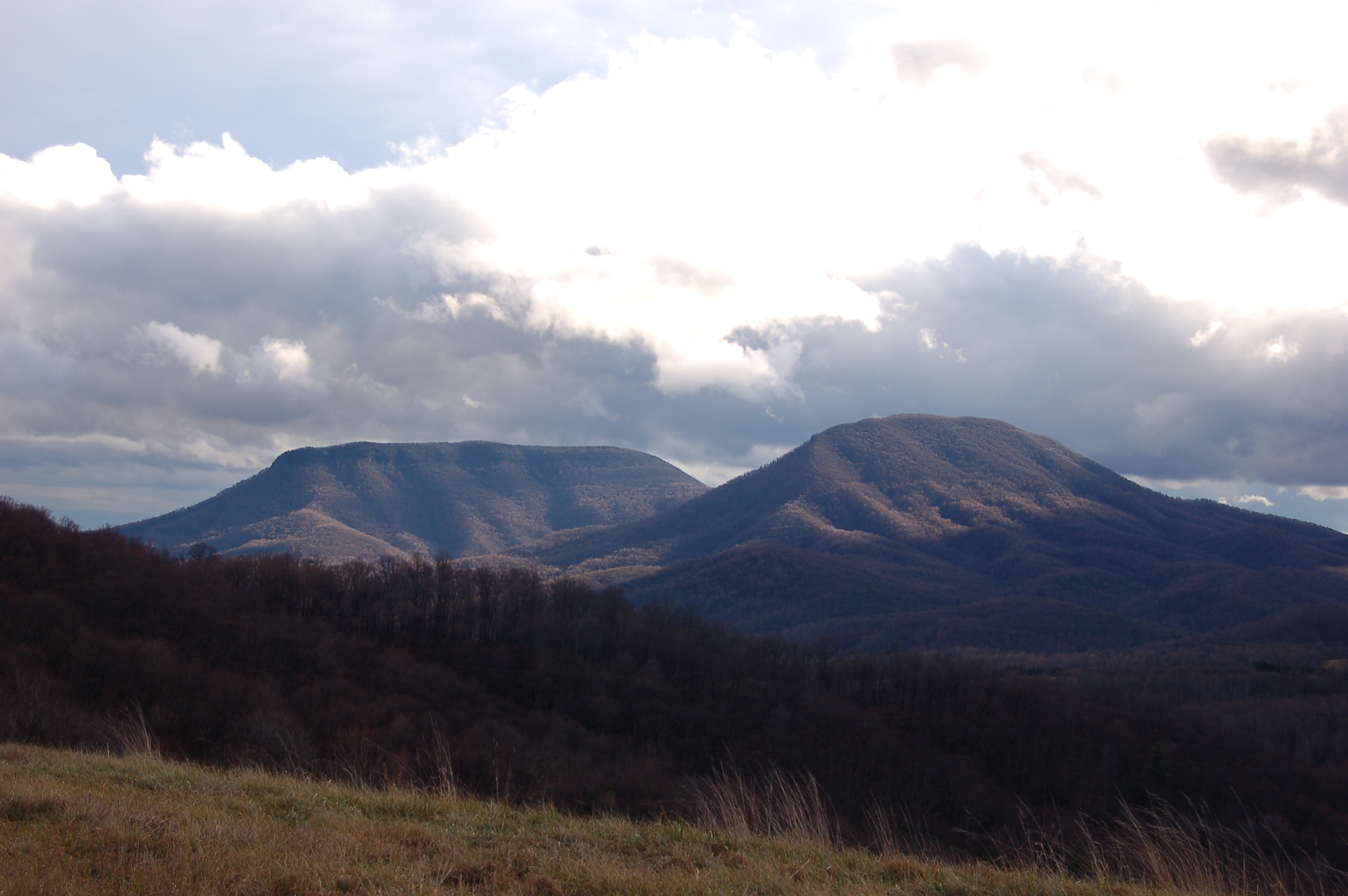
View from North Mountain
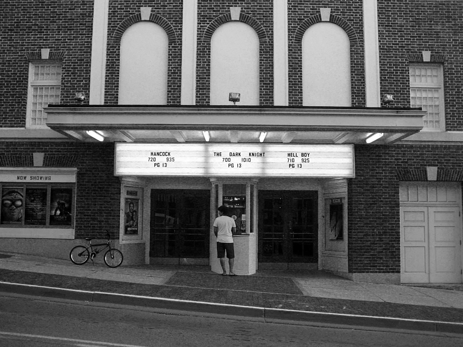
A Night at the Movies

For your patriotic viewing pleasure
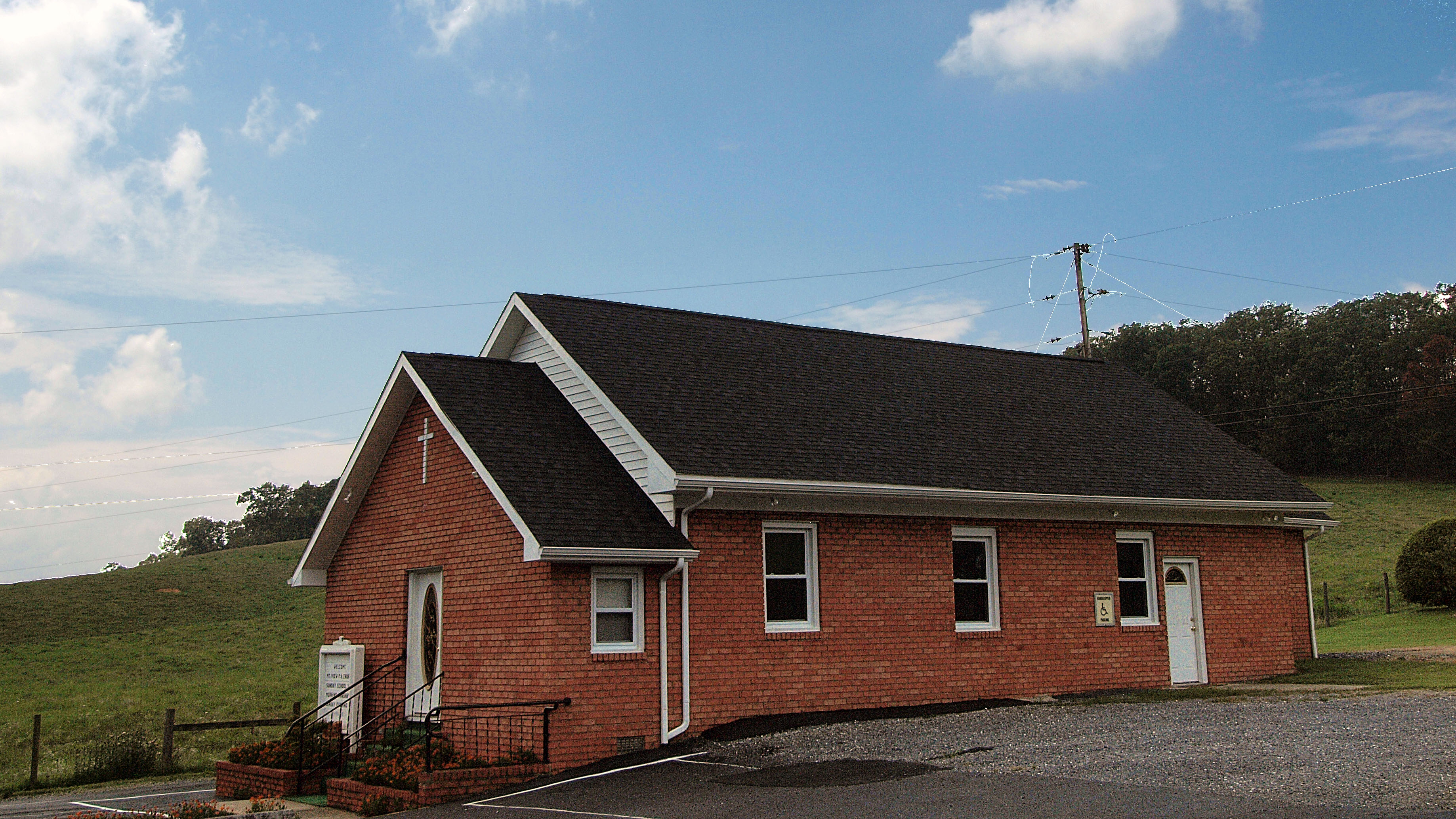
Mt. View Pentacostal
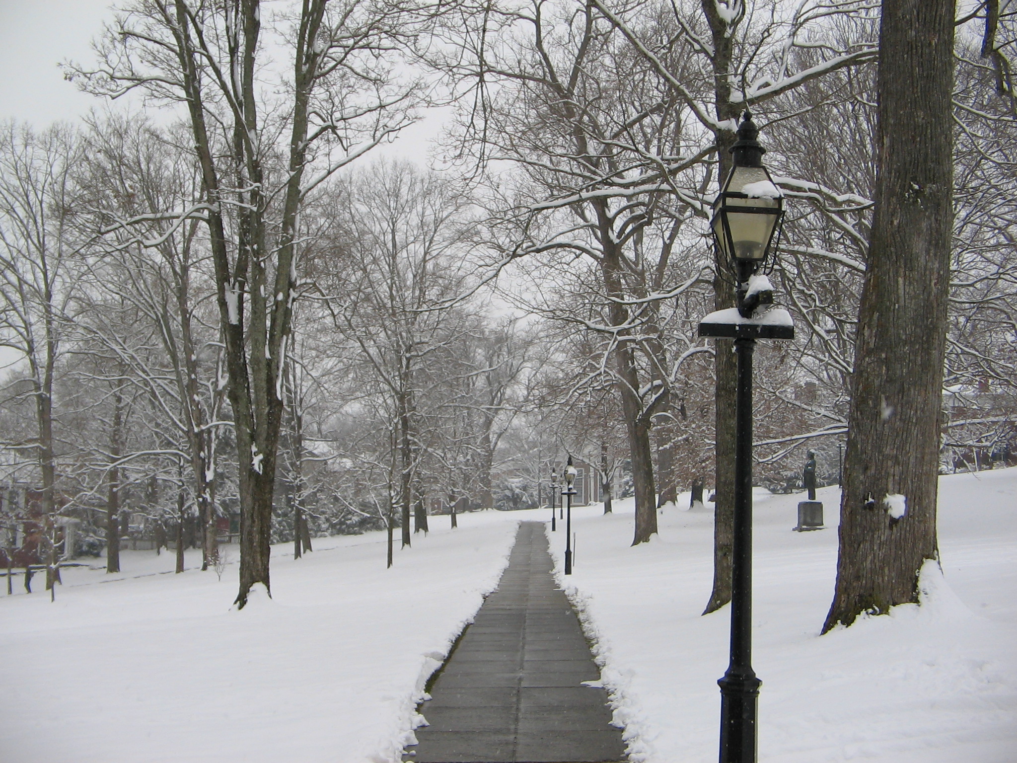
Washington and Lee University Campus
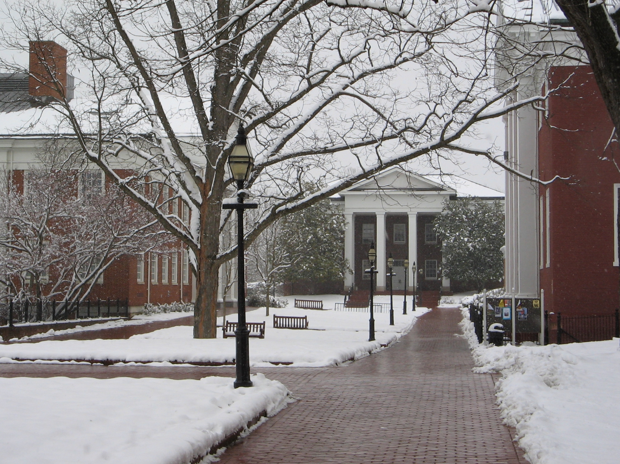
Washington and Lee University Campus
RAD20130126.22 VMI Parade & Barracks
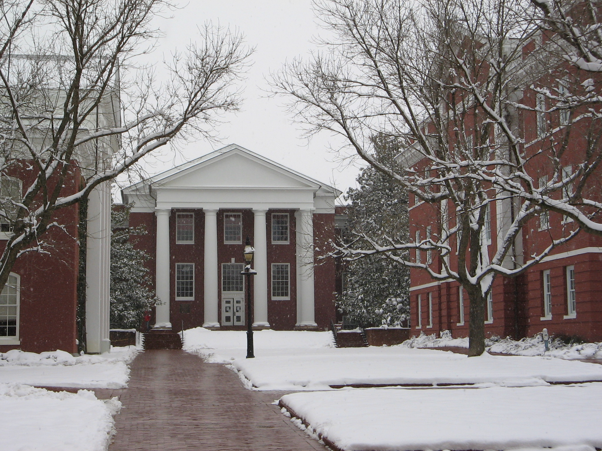
Washington and Lee University Campus
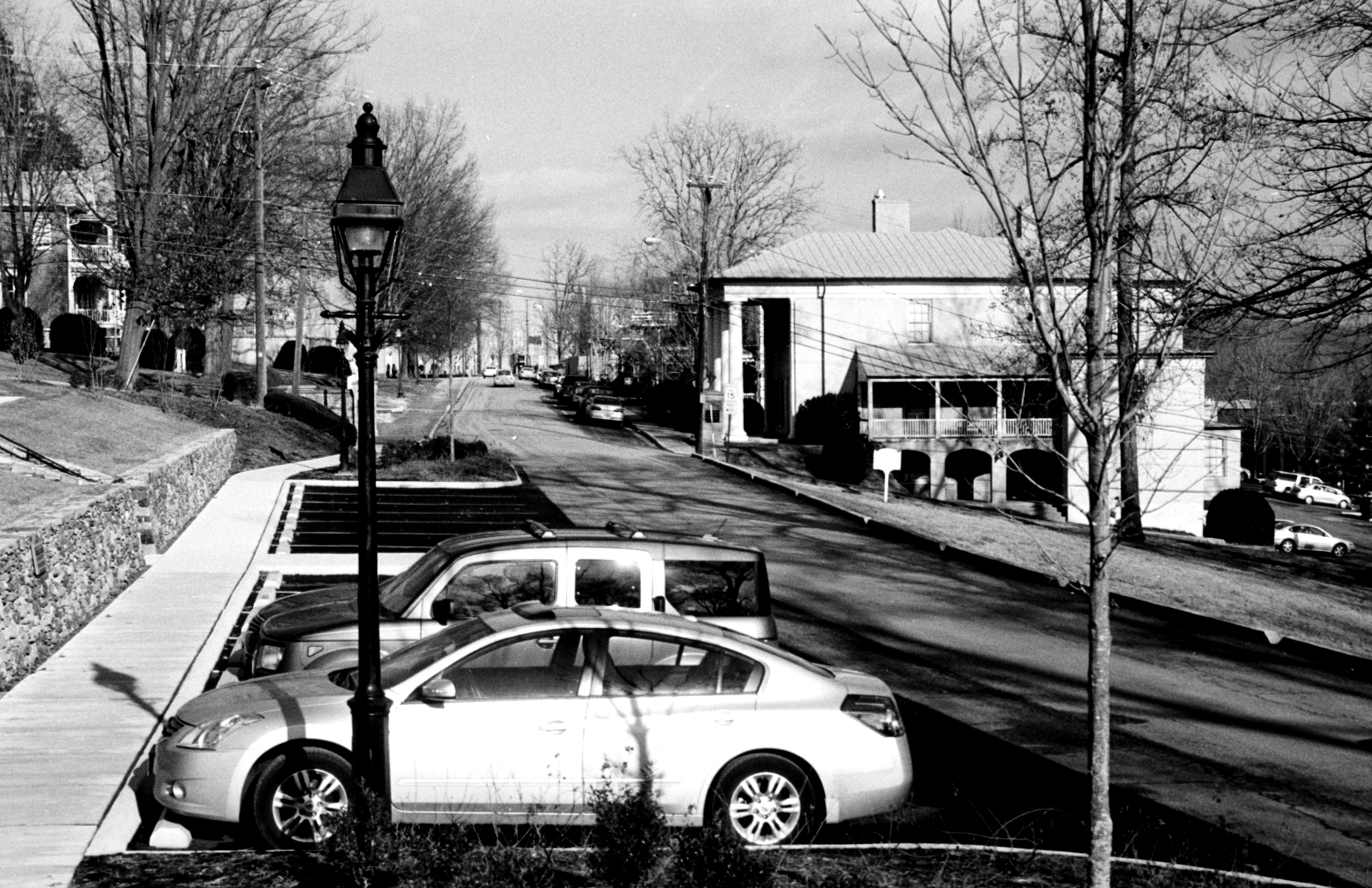
RAD20130126.10 Letcher Avenue

Blue Ridge Parkway
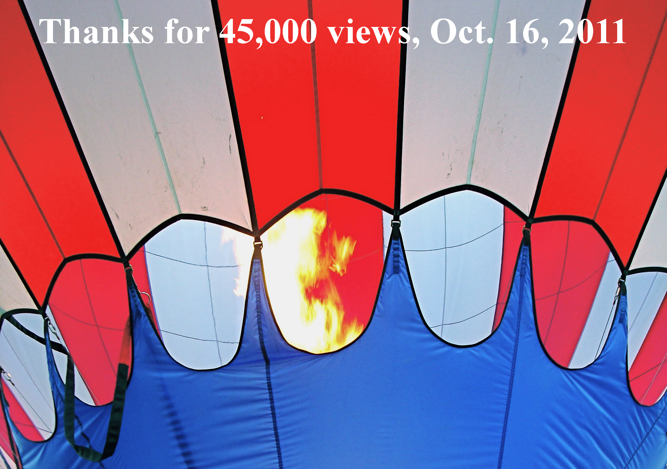
2011.10.17 45K Views

View from North Mountain
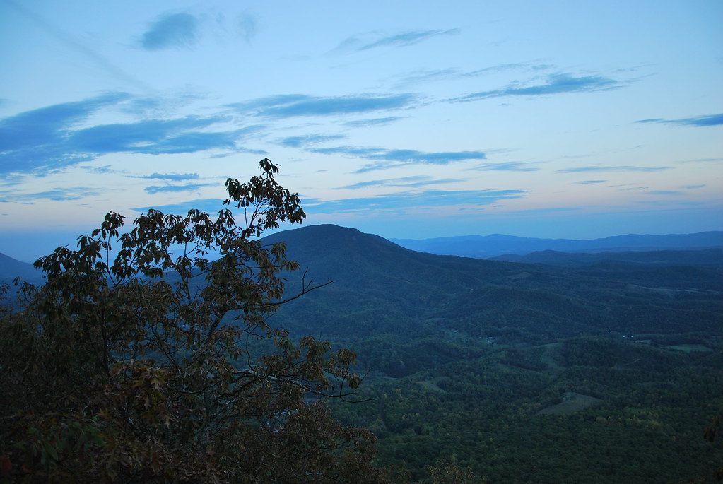
View from North Mountain
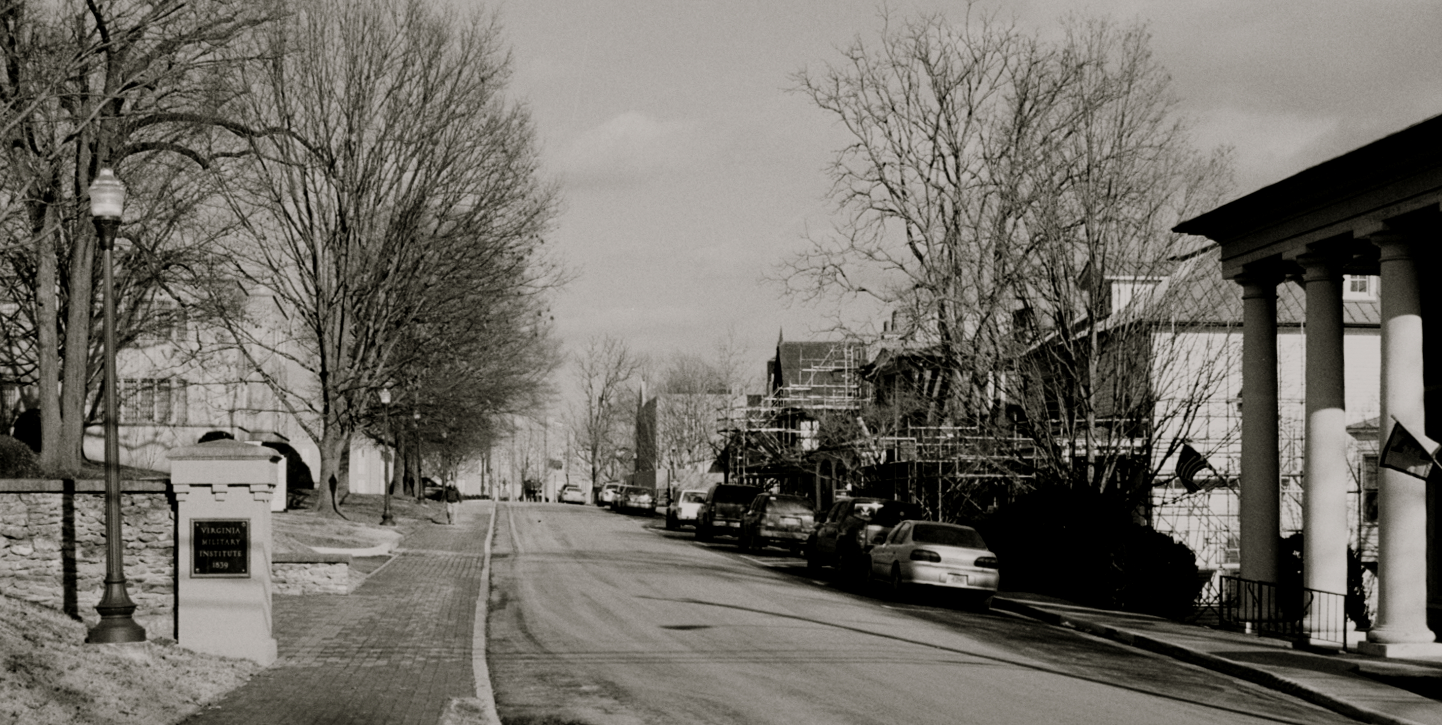
RAD20130126.13 Letcher Avenue

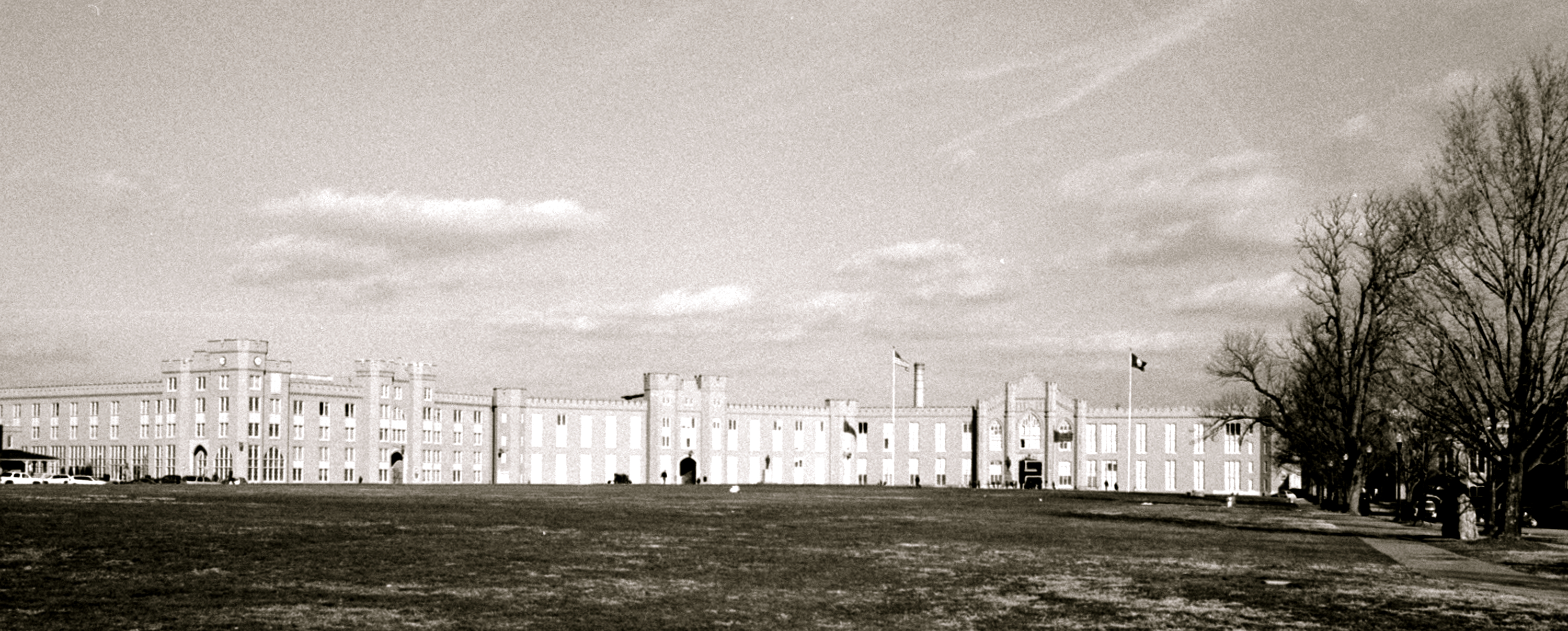
Parade Grounds at Virginia Military Institute
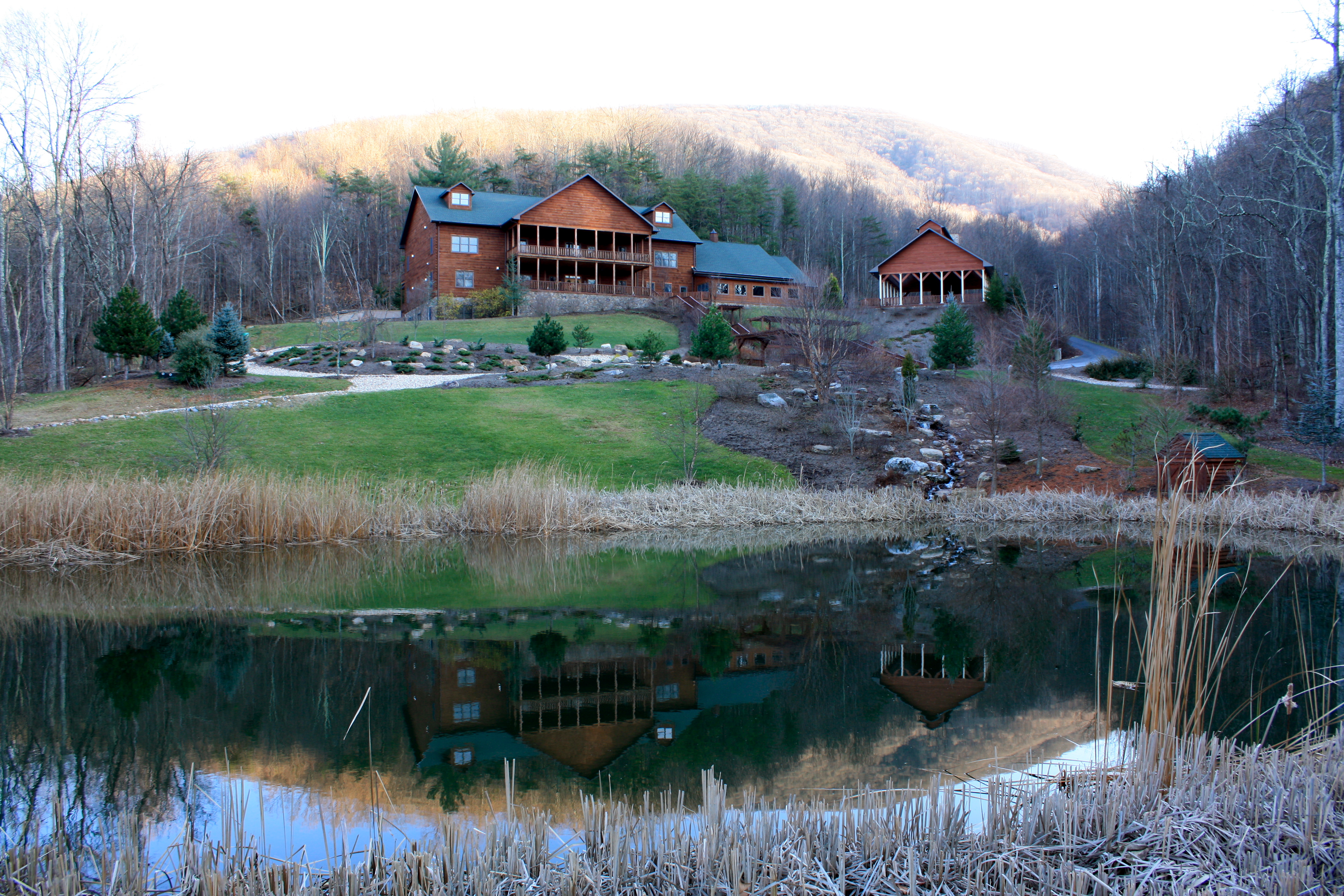
House Mountain Inn

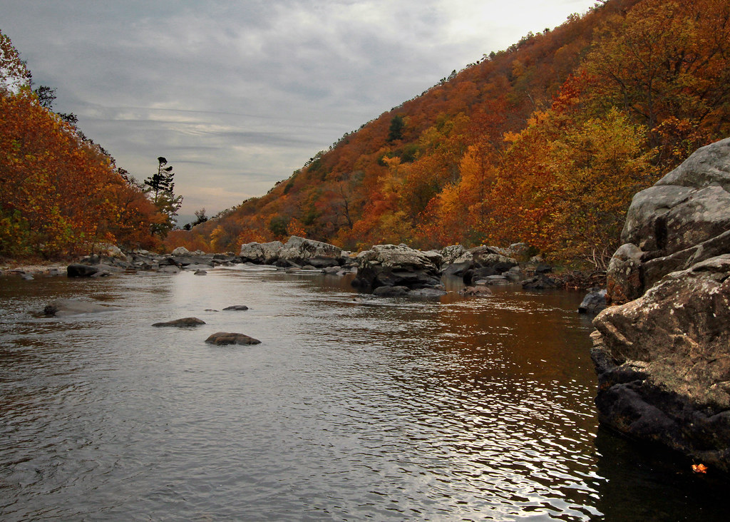
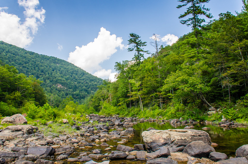
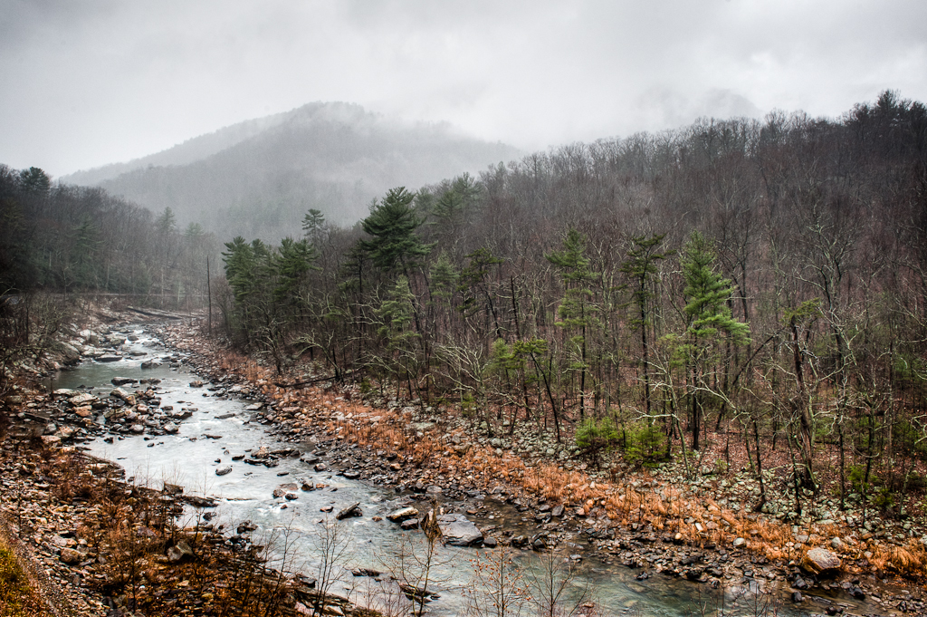
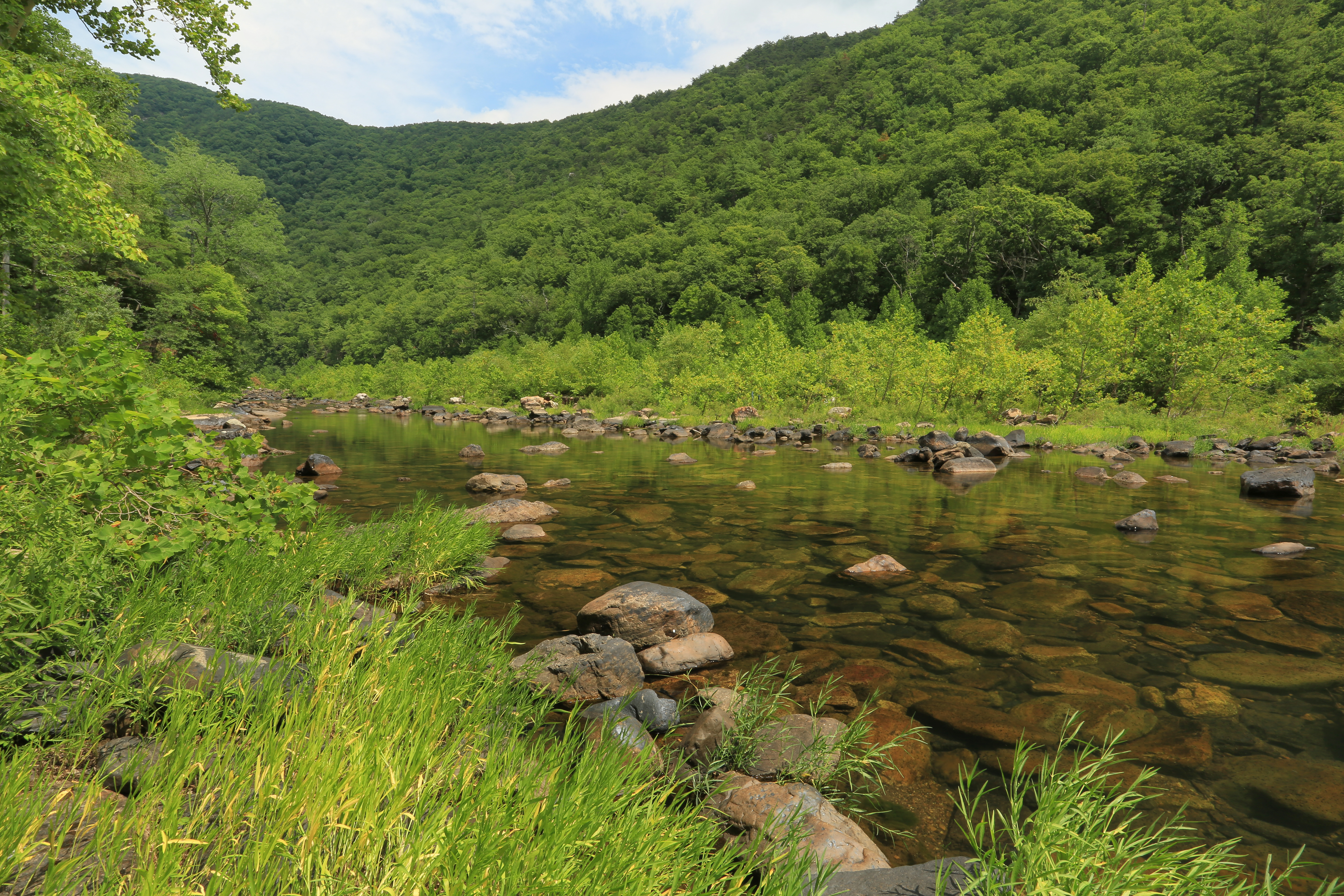
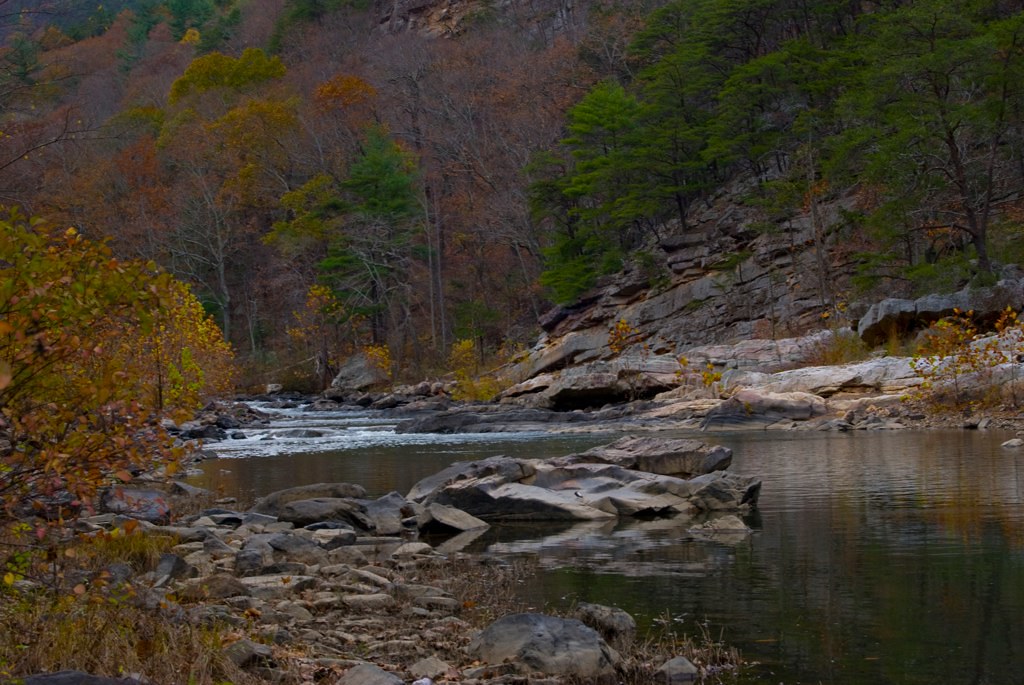
Maury River, Goshen Pass, Virginia

Lee Chapel - Washington & Lee University - Lexington, Virginia
Overcast Autumn Day in Goshen Pass
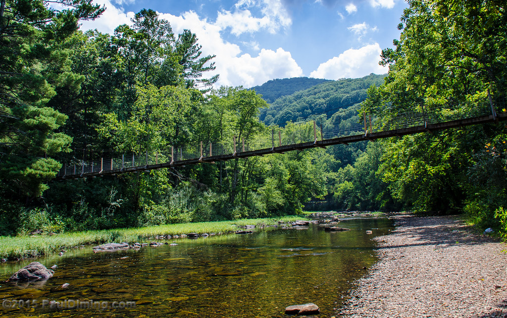
Footbridge Over the Maury River in Goshen Pass - Goshen, VA
Goshen Pass - Goshen, VA

Rockbridge County Va.
Scouting Goshen Pass

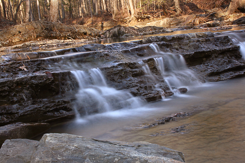
Maury in March
Driving back from lewisburg WV on I64
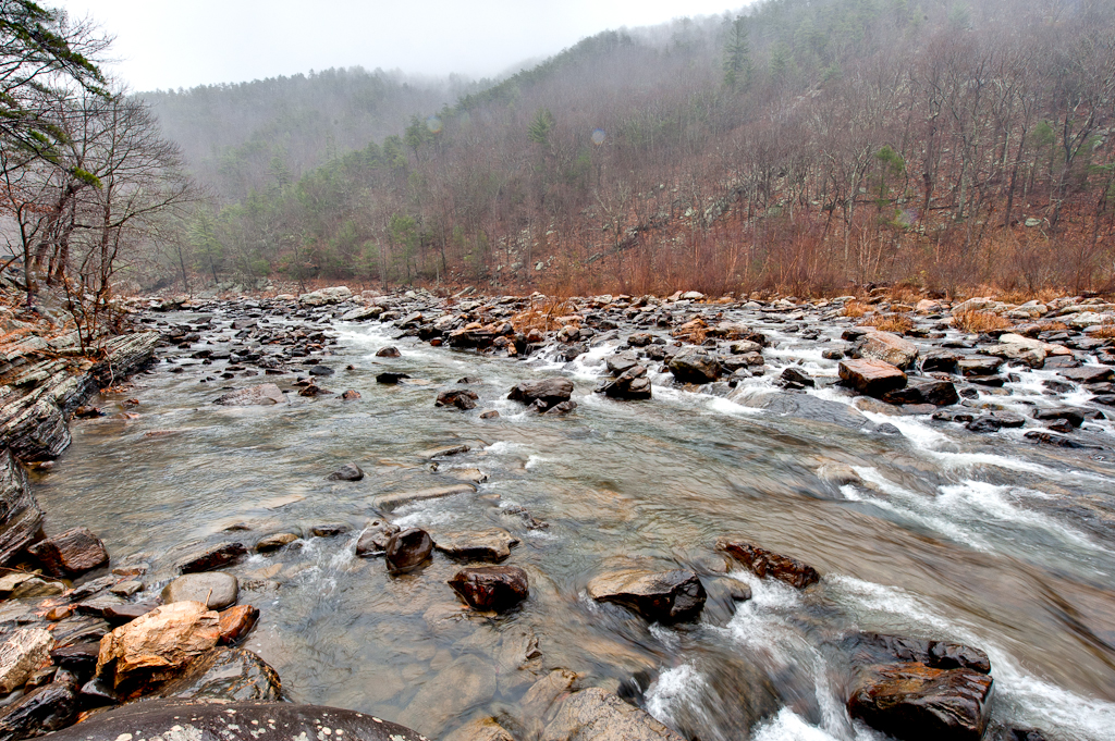
Low Clouds in Goshen Pass

walk up me, these steps say
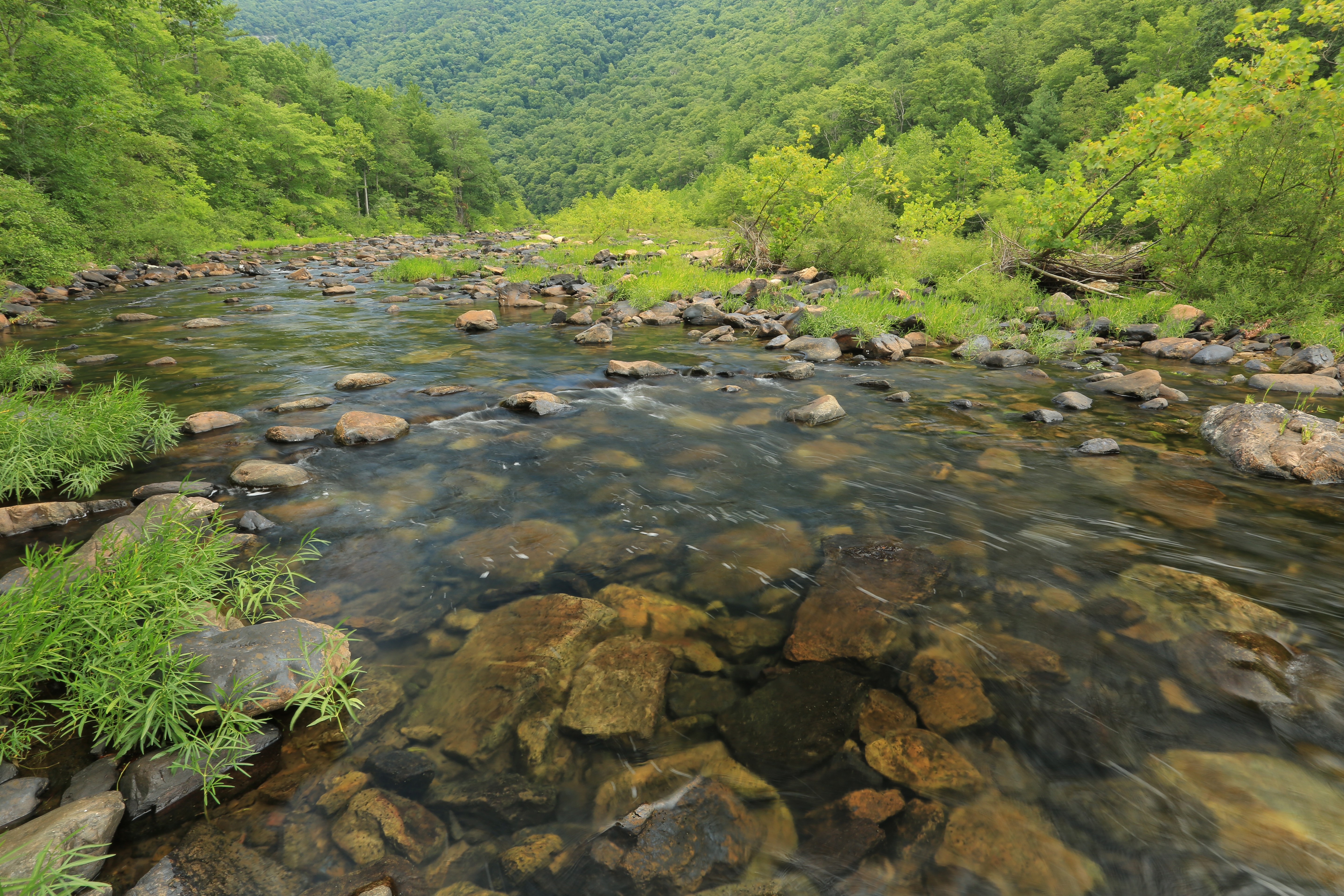
Maury River, Goshen Pass, Goshen Pass State Natural Area, Rockbridge County, Virginia 1
she'll be coming 'round the mountain when she comes...
such beauty
Central VA
Maury River, Goshen Pass, Goshen Pass State Natural Area, Rockbridge County, Virginia 3
Spring day in February
IMG_6668.jpg
Autumn River in Virginia
2012-09-02-0792_Q1.jpg
DSC_5412.JPG
Topographic Map of Gilmer Creek Ln, Lexington, VA, USA
Find elevation by address:

Places near Gilmer Creek Ln, Lexington, VA, USA:
Saddlebrook Road
Kerrs Creek
1476 Fredericksburg Rd
550 Adair Hill
302 Spring Farm Rd
Jacktown Road
Kerrs Creek
Rockbridge County
Big House Mountain
House Mountain Inn
822 Turnpike Rd
29 Pond View Ln
54 Irish Bank Ct
135 Mountain Ridge Trail
Rockbridge Alum Springs - A Young Life Camp
Sehorn Hollow Road
745 Honey Hollow Rd
Millboro
7318 Cowpasture River Hwy
6972 Cowpasture River Hwy
Recent Searches:
- Elevation of Corso Fratelli Cairoli, 35, Macerata MC, Italy
- Elevation of Tallevast Rd, Sarasota, FL, USA
- Elevation of 4th St E, Sonoma, CA, USA
- Elevation of Black Hollow Rd, Pennsdale, PA, USA
- Elevation of Oakland Ave, Williamsport, PA, USA
- Elevation of Pedrógão Grande, Portugal
- Elevation of Klee Dr, Martinsburg, WV, USA
- Elevation of Via Roma, Pieranica CR, Italy
- Elevation of Tavkvetili Mountain, Georgia
- Elevation of Hartfords Bluff Cir, Mt Pleasant, SC, USA