Elevation of Saddlebrook Road, Saddlebrook Rd, Kerrs Creek, VA, USA
Location: United States > Virginia > Lexington >

Longitude: -79.510747

Latitude: 37.8718

Elevation: 449m / 1473feet

Barometric Pressure: 96KPa

Elevation Map:

elevation map of Saddlebrook Road, Saddlebrook Rd, Kerrs Creek, VA, USA
Satellite Map:

Satellite map of Saddlebrook Road, Saddlebrook Rd, Kerrs Creek, VA, USA
Related Photos:

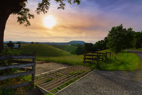
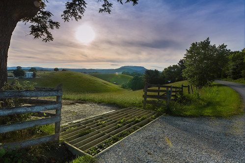
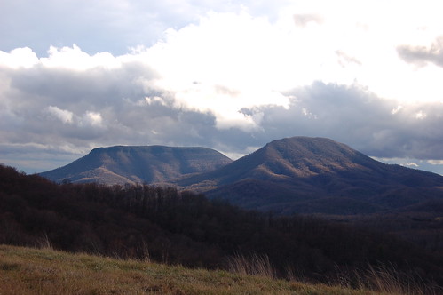
grass f11 landscape sunset serene goldenhour tokina rural glare clouds sun country virginia rockbridge 11mm mountain housemountain flare lexington smoke nature cattle ettr pasture blueridgemountains appalachian trees blueridge tree scenic cattleguard usa farm haze canon shenandoahvalley rays
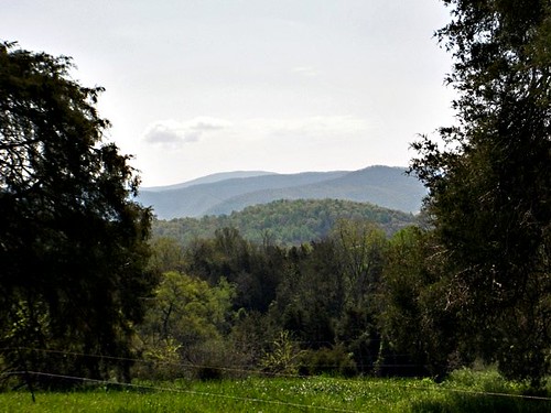
Pastures of Plenty on Old Farm Road
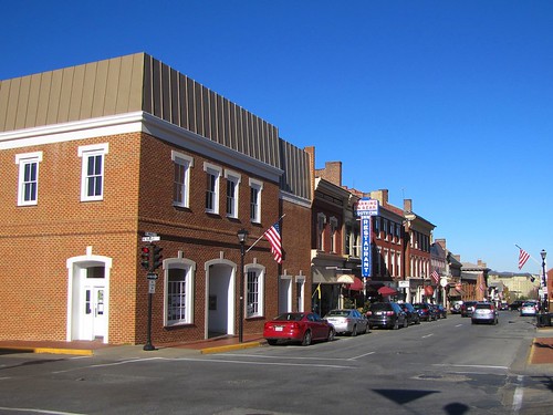
downtown lexington virginia
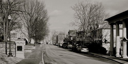
Looking North on Main Street, Lexington, VA
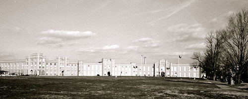
2013 film afternoon chapel clear historic outdoor sunny architecture virginiamilitaryinstitute rad20130126 winter rockbridgecounty lexington virginia church grouped day favorited
RAD20130126.22 VMI Parade & Barracks
square squareformat hefe iphoneography instagramapp uploaded:by=instagram foursquare:venue=4ba936e6f964a520e8143ae3
For your patriotic viewing pleasure
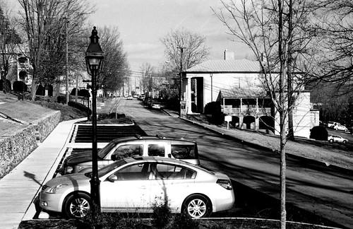
2013 film afternoon chapel clear historic outdoor sunny architecture virginiamilitaryinstitute rad20130126 winter rockbridgecounty lexington virginia church day
RAD20130126.10 Letcher Avenue
virginia us unitedstates lexington
Old Farm Road
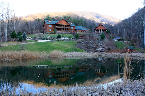
building landscape pond inn outdoor lexington rustic logcabin va bedandbreakfast loghome loginn housemountaininn
House Mountain Inn
2013 film afternoon chapel clear historic outdoor sunny architecture virginiamilitaryinstitute rad20130126 winter rockbridgecounty lexington virginia church day
RAD20130126.13 Letcher Avenue
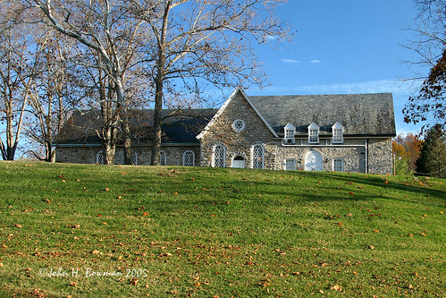
2005 november november2005 virginia stonework churches shenandoahvalley latelight presbyterianchurches nrhp rockbridgecounty countrychurches colonialchurches oldandbeautiful citrit stonechurches timberridgepresbyterianchurch
Timber Ridge Presbyterian Church
views
2011.10.17 45K Views
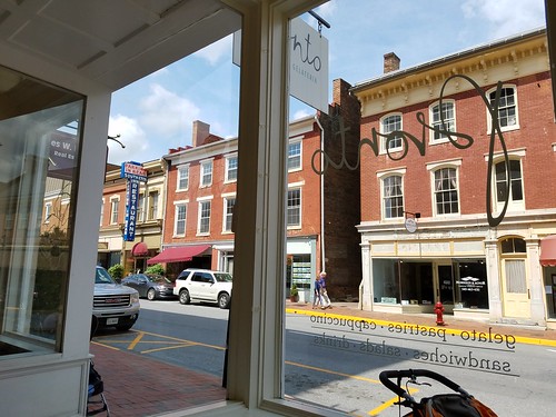
view onto S. Main St. in Lexington, Virginia
travel field grass canon landscape virginia lexington hills va shenandoah shenandoahvalley canonsd450 sd450
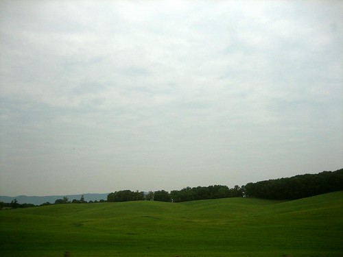
Rolling Hills
usa virginia unitedstates lexington maplegrove highlandsscenicbyway
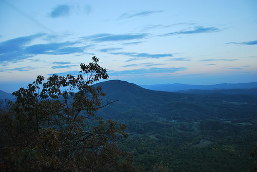
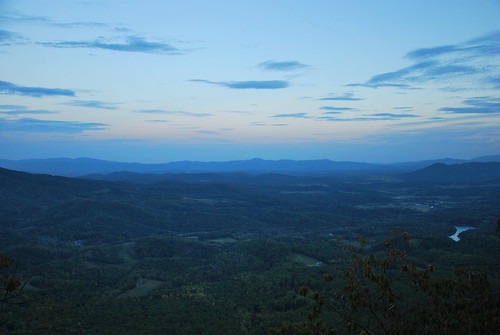
View from North Mountain
usa virginia unitedstates lexington maplegrove highlandsscenicbyway
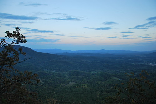
View from North Mountain
usa virginia unitedstates lexington maplegrove northmountain jeffersonnationalforest georgewashingtonnationalforest highlandsscenicbyway
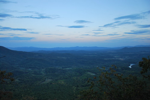
View from North Mountain
usa virginia unitedstates lexington maplegrove highlandsscenicbyway
View from North Mountain
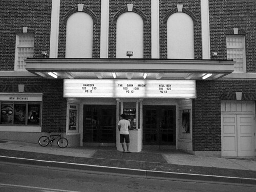
travel wallpaper bw photoshop canon movie virginia town theater va lancaster shenandoah shenandoahvalley movietheater 43 fullscreen canonsd450 sd450
A Night at the Movies
county lexington va rockbridge landforsale candylynn slatmillroadfairfieldva
View between cedars
mountains virginia farmlife amtrakviews
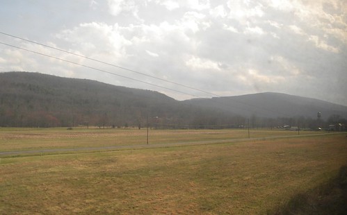
Goshen Virginia
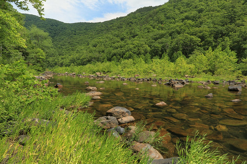
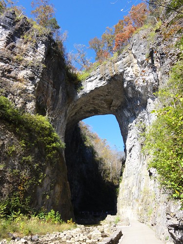
virginia va mauryriver goshenpass va39
Maury River, Goshen Pass, Virginia
virginia lexington courthouse rockbridgecounty
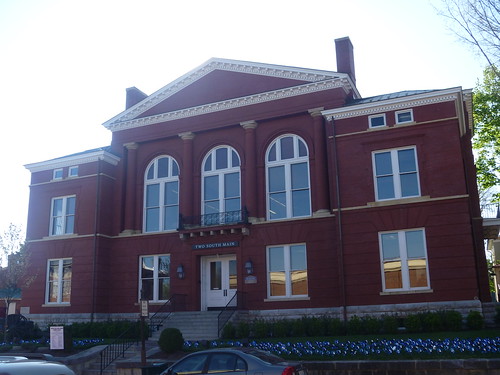
Front View Of The Old Rockbridge County Courthouse
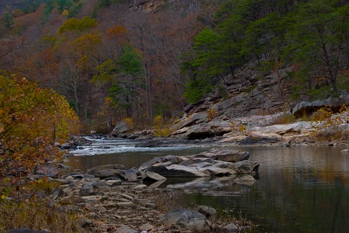
autumn color fall leaves virginia goshenpass getoutside rockbridgecounty nottobeusedwithoutmypermission adfimages itsgorgeousoutthere
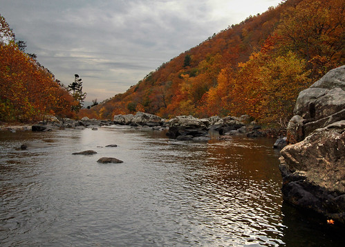
Overcast Autumn Day in Goshen Pass
water landscape virginia rivers mauryriver goshenpass nottobeusedwithoutmypermission adfimages
Maury in March
snow lowlight snowstorm lr4 rockbridgeco
Rockbridge County Va.
square squareformat earlybird iphoneography instagramapp uploaded:by=instagram foursquare:venue=5026dbafe4b072708415cd1d
she'll be coming 'round the mountain when she comes...
Maury River, Goshen Pass, Goshen Pass State Natural Area, Rockbridge County, Virginia 1
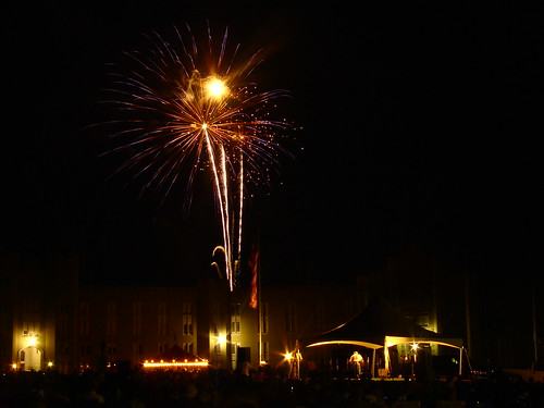
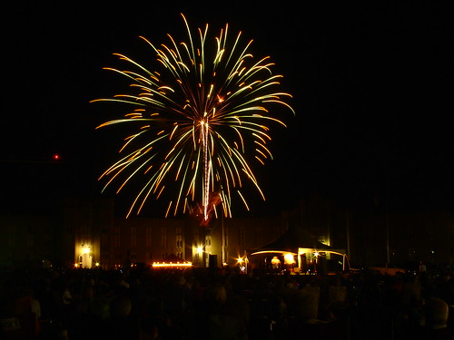
fireworks night landscape 2007 virginiamilitaryinstitute lexington independenceday aerial virginia grouped favorited
2007.07.04.05945 Fireworks at Virginia Military Institute
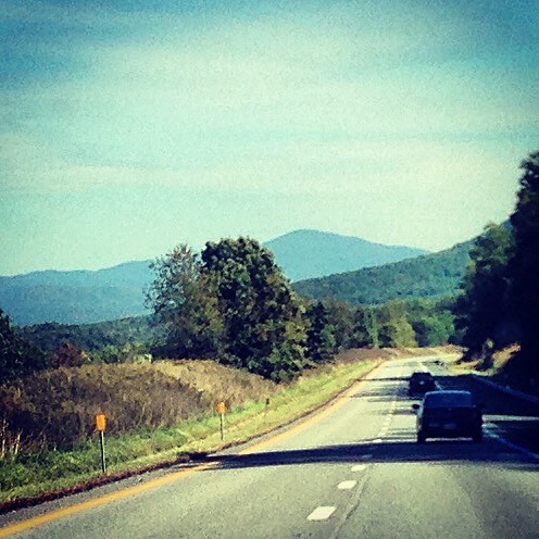
Driving back from lewisburg WV on I64
walk up me, these steps say
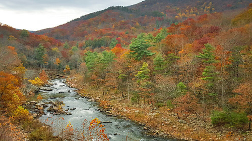
fall colors river pass preserve goshen naturalarea
Maury River at Goshen Pass
fireworks night landscape 2007 virginiamilitaryinstitute lexington independenceday aerial virginia grouped favorited
2007.07.04.05935 Fireworks at Virginia Military Institute
Maury River, Goshen Pass, Goshen Pass State Natural Area, Rockbridge County, Virginia 3
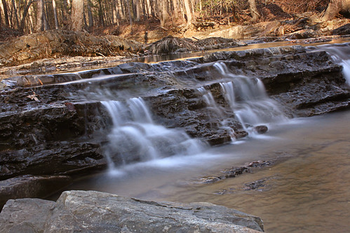
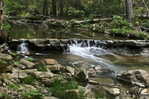
water virginia va slowshutter cascade 2011
Spring day in February
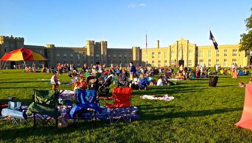
2014 aerial sky air architecture iphone clear clouds cloudy dusk evening lexington virginiamilitaryinstitute skyline summer sunset sunny travel historic independenceday outdoor rockbridgecounty virginia day grouped favorited
2014.07.04.01 VMI Independence Day
virginia unitedstates fairfield
IMG_6668.jpg
mountain clouds geotagged virginia valley geo:lat=37882509 geo:lon=79551144
DSC_5412.JPG
.
.
mountains fall virginia fallfoliage goshenpass shenendoahvalley shendoahmountain
Autumn River in Virginia
water creek virginia va slowshutter 2008 thebest georgewashingtonnationalforest bathcountyva padscreek
Summer Dreams
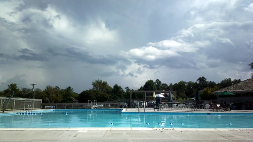
cameraphone sky nokia cloudy swimmingpool 808 pureview nokiapureview
2012-09-02-0792_Q1.jpg