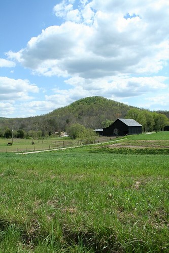
Elevation of Speedwell Rd, Richmond, KY, USA
Location: United States > Kentucky > Madison County > Richmond >

Longitude: -84.174523

Latitude: 37.6778531

Elevation: 284m / 932feet

Barometric Pressure: 98KPa

Elevation Map:

elevation map of Speedwell Rd, Richmond, KY, USA

Satellite Map:

Satellite map of Speedwell Rd, Richmond, KY, USA

Related Photos:

135 35mm bluegrass delta100 germany ilford kentucky lexington plustek vito voigtlander analog film filmscan filmshot folder ky usa
View from Indian Fort
bereaky indianfortmountain 1edited6 westpinnacleforest westpinacle
West Pinnacle forest trail. Berea , KY
downtown lexington neon bluegrass athens armydepot college us421 sign drug western auto pharmacy madison berea car antique traffic signal movie road marquee chevy store rexall hotel vintage olds theatre bank cafe pontiac packard kentucky light billiards roadside ky food lodging coca cola dixie eastern highway advertising us25 coupe building roadster eku marcum pure gas tanker truck studebaker ford
West Main Street at 3rd Street - Richmond, Kentucky 1930's
battleofrichmond kentucky pleasantviewfarm battlefield slavequarters slavery
Slave quarters
geotagged windrose farm panorama geolat37630126 geolon84255783
Windrose Panorama
geotagged geo:lat=37670959337 geo:lon=84039868042
IMG_5469.JPG
battleofrichmond civilwar kentucky madisoncounty pleasantviewfarm richmond barn battlefield farm shadow sunset
Old barn, Richmond Battlefield
bereaky imgp2673edited3
Foggy morning view from Eagle's Nest on Indian Fort Mountain in Berea, KY
ky berea bereaky pentaxart imgp2644edited2
Foggy sunrise view from Eagle's Nest on Indian Fort Mountain in Berea, KY
bereaky imgp2588edited2
Something a little different.......
view bereakentucky eastpinnacles
Berea Pinnacles
blackandwhite bw brick buildings campus outside photo 1930s kentucky ky photograph scanned 1933 studentactivity barbourville bereacollege studenttrip lynchburgcollegearchives allenbstanger debatetrip
Stanger 48-3
bereaky imgp2691edited2
Foggy sunrise view from Eagle's Nest on Indian Fort Mountain in Berea, KY
Battle of Richmond Kentucky
Battle of Richmond, Kentucky - Eastern Half of Mount Zion Church Battlefield
cwpt09bf
Battle of Richmond, Kentucky - Charge of the 95th Ohio
View of Home Plate Umpire
Battle of Richmond, Kentucky - Kingston
geotagged geo:lat=37605897663 geo:lon=84033728382
IMG_5460.JPG
Battle of Richmond, Kentucky - White's Farm Phase
geotagged geo:lat=3761791857 geo:lon=84020036627
IMG_5465.JPG
trees sky cliff mountain tree topc25 topv111 topv2222 clouds landscape topf50 topv555 topv333 topf75 kentucky topv1111 topv999 100v10f topv777 1000v100f topv3333 topf100 1022mm top25 berea naturesfinest 50f500v indianformountain
Bliss and ReUnion
celltower sunset appalachia dusk goldenhour sky forest landscape berea kentucky danielboonenationalforest
Lone tower, fiery sky
Autumn, Berea Forest
geotagged geo:lat=37600122532 geo:lon=84042464588
IMG_5454.JPG
geotagged geo:lat=3759100914 geo:lon=84113130569
IMG_5441.JPG
geotagged geo:lat=3759100914 geo:lon=84113130569
IMG_5443.JPG
geotagged geo:lat=3759100914 geo:lon=84113130569
IMG_5444.JPG
geotagged geo:lat=375960379469516 geo:lon=840523622741502
IMG_5447.JPG
geotagged geo:lat=37591213407 geo:lon=84112249883
IMG_5445.JPG
geotagged geo:lat=3759100914 geo:lon=84113130569
IMG_5442.JPG
instagramapp square squareformat iphoneography uploaded:by=instagram lark
Views like this are why I love #driving #backroads here in #Kentucky #horses
geotagged geo:lat=3759100914 geo:lon=84113130569
IMG_5440.JPG
geotagged geo:lat=375925087460021 geo:lon=841849303710145
IMG_5431.JPG
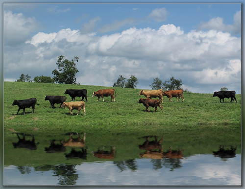
reflection green water animals clouds landscape cattle cows farm steer coth platinumphoto flickrdiamond canong10 daarklands peachesandolivia
Steer this way, please.......
igp7219pcropped1edited1
From Indian Fort Mountain at Eagle's Nest.