Elevation of Isaac Dr, Richmond, KY, USA
Location: United States > Kentucky > Madison County > Richmond >
Longitude: -84.175984
Latitude: 37.7025036
Elevation: 283m / 928feet
Barometric Pressure: 98KPa
Elevation Map:
Satellite Map:
Related Photos:

West Main Street at 3rd Street - Richmond, Kentucky 1930's

Foggy sunrise view from Eagle's Nest on Indian Fort Mountain in Berea, KY

Slave quarters

IMG_5469.JPG

Old barn, Richmond Battlefield

Foggy morning view from Eagle's Nest on Indian Fort Mountain in Berea, KY

Something a little different.......

Foggy sunrise view from Eagle's Nest on Indian Fort Mountain in Berea, KY

Battle of Richmond Kentucky

Battle of Richmond, Kentucky - Eastern Half of Mount Zion Church Battlefield

Windrose Panorama

Battle of Richmond, Kentucky - Charge of the 95th Ohio

Battle of Richmond, Kentucky - Kingston

Battle of Richmond, Kentucky - White's Farm Phase

The Panoramic View from the Red Roof Inn, Richmond, KY

View of Home Plate Umpire

IMG_5441.JPG

IMG_5444.JPG

IMG_5447.JPG

IMG_5443.JPG

Battle of Richmond, Kentucky - McCray's Flank Attack

IMG_5445.JPG

IMG_5442.JPG

Views like this are why I love #driving #backroads here in #Kentucky #horses

IMG_5440.JPG

IMG_5431.JPG

IMG_5430.JPG

IMG_5433.JPG

IMG_5429.JPG

IMG_5425.JPG

IMG_5423.JPG

IMG_5422.JPG

Richmond Battlefield, Kentucky

From Indian Fort Mountain at Eagle's Nest.
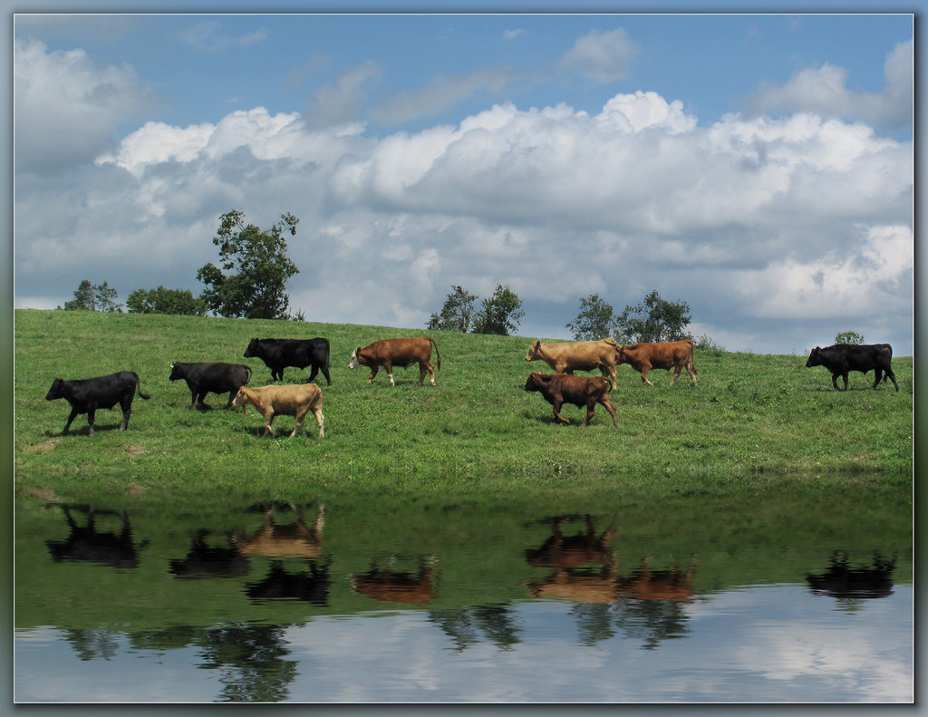
Steer this way, please.......
Topographic Map of Isaac Dr, Richmond, KY, USA
Find elevation by address:

Places near Isaac Dr, Richmond, KY, USA:
1989 Speedwell Rd
1989 Speedwell Rd
Brassfield Rd, Richmond, KY, USA
Meadowbrook Rd, Richmond, KY, USA
Irvine Rd, Richmond, KY, USA
Waco
Panola
Punkin Run Road
184 General Cleburne Dr
225 Park Lakes Dr
103 General Cleburne Dr
1105 Kim Kent Dr
1045 Winston Rd
725 Marietha Dr
114 Placid Dr
The Castle Jewelry And Pawn Of Richmond
221 N Estill Ave
801 Eastern Bypass
100 Ky-52
Eastern Kentucky University
Recent Searches:
- Elevation of Corso Fratelli Cairoli, 35, Macerata MC, Italy
- Elevation of Tallevast Rd, Sarasota, FL, USA
- Elevation of 4th St E, Sonoma, CA, USA
- Elevation of Black Hollow Rd, Pennsdale, PA, USA
- Elevation of Oakland Ave, Williamsport, PA, USA
- Elevation of Pedrógão Grande, Portugal
- Elevation of Klee Dr, Martinsburg, WV, USA
- Elevation of Via Roma, Pieranica CR, Italy
- Elevation of Tavkvetili Mountain, Georgia
- Elevation of Hartfords Bluff Cir, Mt Pleasant, SC, USA