Elevation of General Cleburne Dr, Richmond, KY, USA
Location: United States > Kentucky > Madison County > Richmond >
Longitude: -84.264690
Latitude: 37.6661366
Elevation: 309m / 1014feet
Barometric Pressure: 98KPa
Elevation Map:
Satellite Map:
Related Photos:

Old barn, Richmond Battlefield
View from Indian Fort

Foggy morning view from Eagle's Nest on Indian Fort Mountain in Berea, KY

West Pinnacle forest trail. Berea , KY

West Main Street at 3rd Street - Richmond, Kentucky 1930's

Foggy sunrise view from Eagle's Nest on Indian Fort Mountain in Berea, KY

Something a little different.......

Foggy sunrise view from Eagle's Nest on Indian Fort Mountain in Berea, KY

Slave quarters

Berea Pinnacles

Stanger 48-3

Battle of Richmond Kentucky

Battle of Richmond, Kentucky - Eastern Half of Mount Zion Church Battlefield

Windrose Panorama

Battle of Richmond, Kentucky - Charge of the 95th Ohio

Battle of Richmond, Kentucky - Kingston

Battle of Richmond, Kentucky - White's Farm Phase

The Panoramic View from the Red Roof Inn, Richmond, KY

View of Home Plate Umpire

IMG_5441.JPG

IMG_5444.JPG

Silver Creek Falls

Bliss and ReUnion

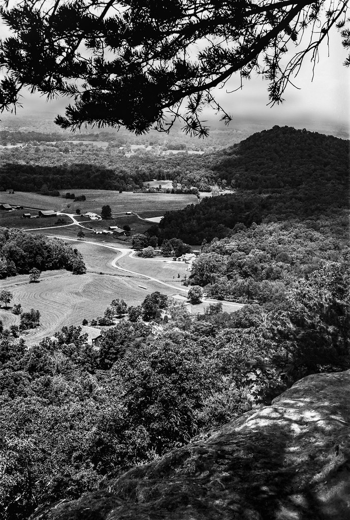
From Indian Fort Mountain at Eagle's Nest.

Sunrise over the Eastern Kentucky hills.

Golden hour from the edge of the Cumberland Plateau

Lonely Pine on Indian Fort Mountain

Silver Creek falls 1
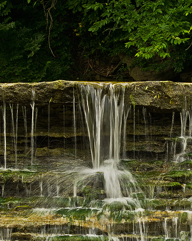
Small detail of Silver Falls

Spring Wildflower

♥ ♥ Ailanthus Webworm Moth ♥ ♥ ♥ Queen Anne's Lace ♥ ♥

the "ravine" at EKU

the "ravine" at EKU

IMG_5443.JPG

Silver Creek Falls in Madison County, KY The third cascades.
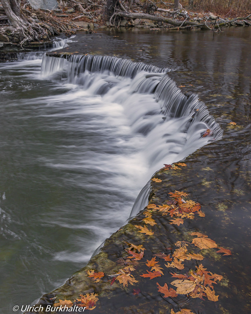
Silver Creek cascades
Topographic Map of General Cleburne Dr, Richmond, KY, USA
Find elevation by address:

Places near General Cleburne Dr, Richmond, KY, USA:
184 General Cleburne Dr
Punkin Run Road
Madison County
225 Park Lakes Dr
801 Eastern Bypass
The Castle Jewelry And Pawn Of Richmond
Lancaster Rd, Richmond, KY, USA
1105 Kim Kent Dr
725 Marietha Dr
Eastern Kentucky University
221 N Estill Ave
100 Ky-52
Richmond
107 Longview Dr
113 Longview Dr
1989 Speedwell Rd
1989 Speedwell Rd
Brassfield Rd, Richmond, KY, USA
1005 Isaac Dr
512 Martin Dr
Recent Searches:
- Elevation of Corso Fratelli Cairoli, 35, Macerata MC, Italy
- Elevation of Tallevast Rd, Sarasota, FL, USA
- Elevation of 4th St E, Sonoma, CA, USA
- Elevation of Black Hollow Rd, Pennsdale, PA, USA
- Elevation of Oakland Ave, Williamsport, PA, USA
- Elevation of Pedrógão Grande, Portugal
- Elevation of Klee Dr, Martinsburg, WV, USA
- Elevation of Via Roma, Pieranica CR, Italy
- Elevation of Tavkvetili Mountain, Georgia
- Elevation of Hartfords Bluff Cir, Mt Pleasant, SC, USA