Elevation of Brassfield Rd, Richmond, KY, USA
Location: United States > Kentucky > Madison County > Richmond >
Longitude: -84.173657
Latitude: 37.6737328
Elevation: 289m / 948feet
Barometric Pressure: 98KPa
Elevation Map:
Satellite Map:
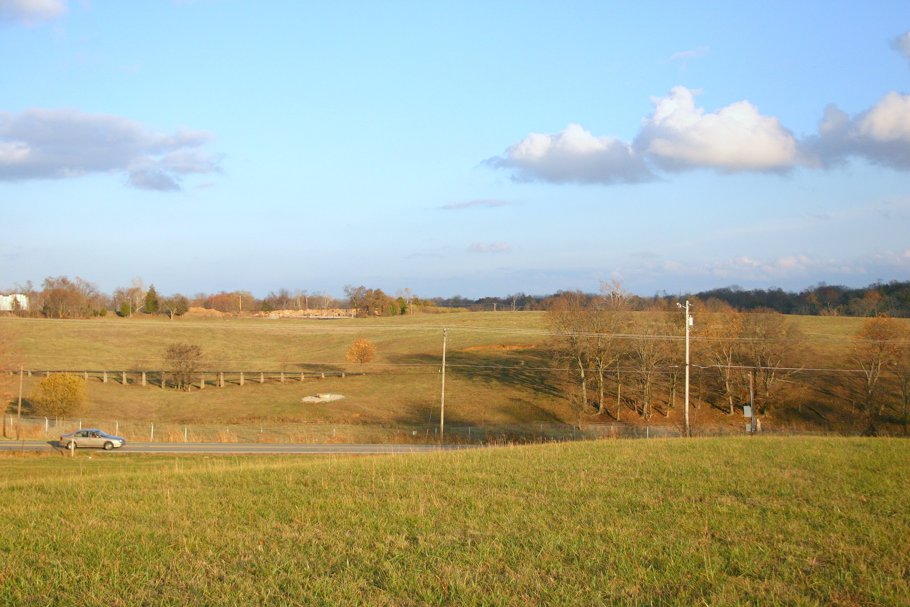
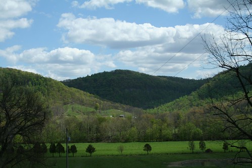
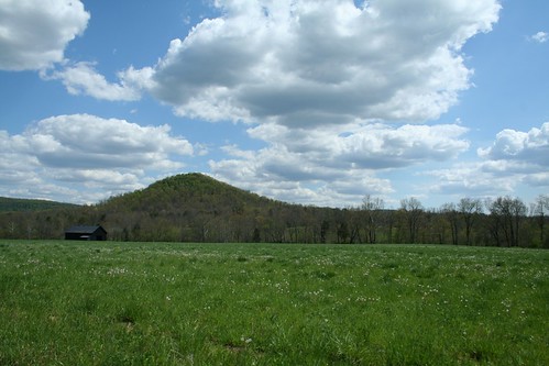
Related Photos:

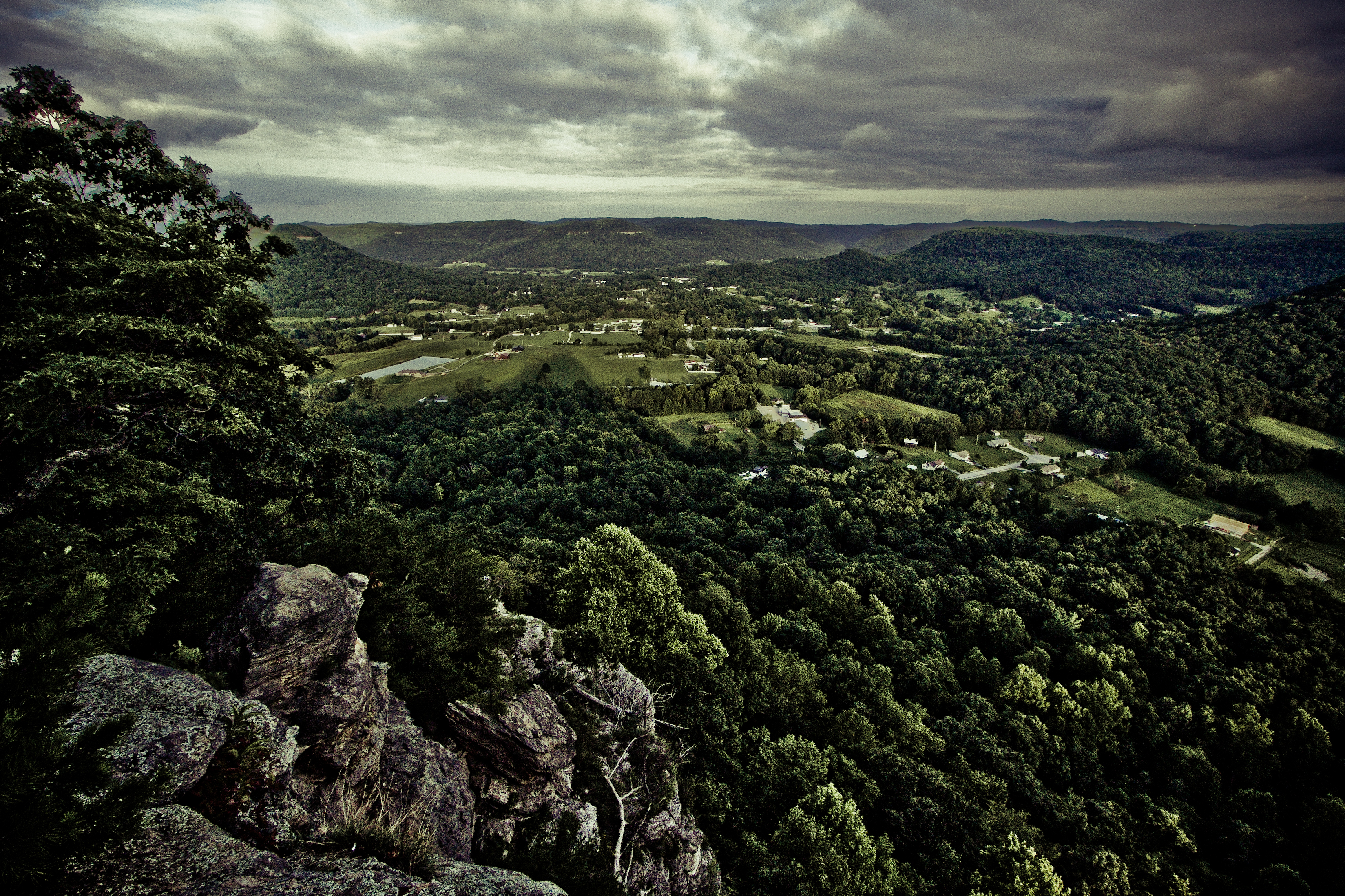
West Pinnacle forest trail. Berea , KY
Berea Pinnacles
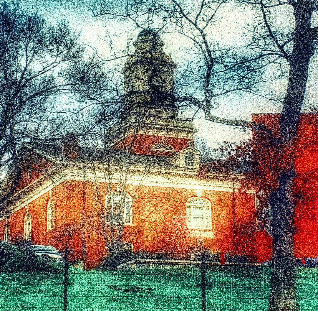
Lovely view of the Phelps Stokes Chapel at @berea_college #buildings #photoart #artsy #berea #visitberea
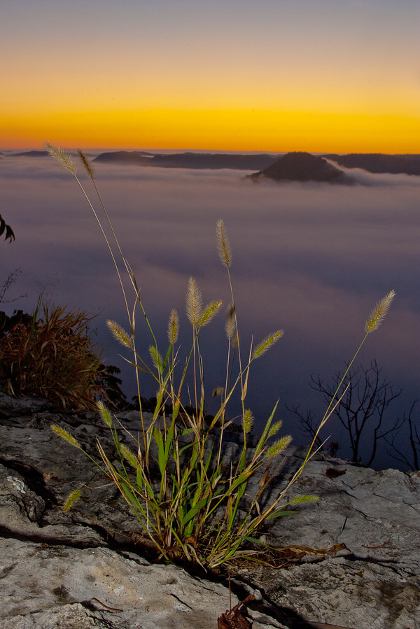
Foggy morning view from Eagle's Nest on Indian Fort Mountain in Berea, KY
Something a little different.......
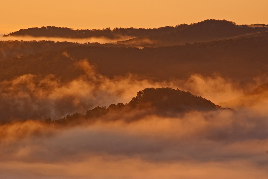
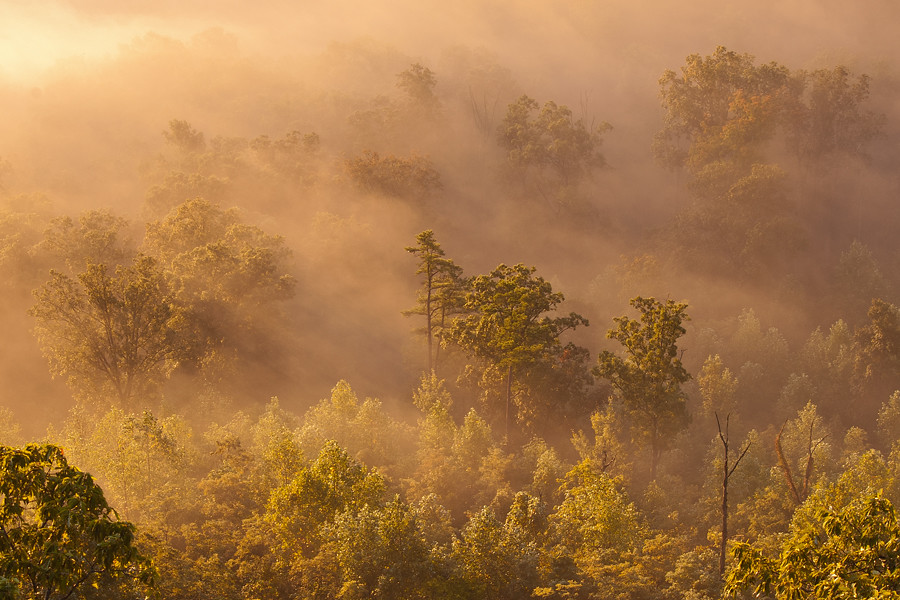
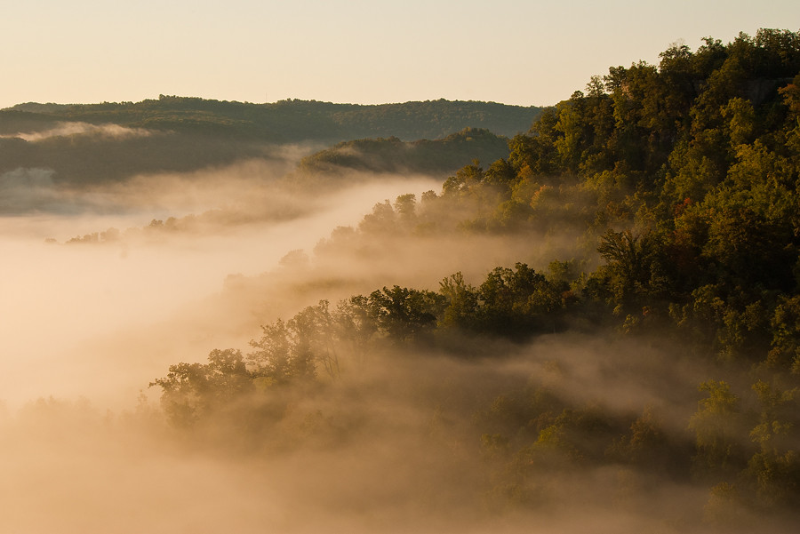
Foggy sunrise view from Eagle's Nest on Indian Fort Mountain in Berea, KY
IMG_5441.JPG

Church from my point of view :) Hope everyone is have a great morning.
IMG_5444.JPG
IMG_5447.JPG
IMG_5440.JPG

Stanger 48-3
IMG_5445.JPG
Foggy sunrise view from Eagle's Nest on Indian Fort Mountain in Berea, KY
IMG_5442.JPG

My view this morning. Mason is reading in the service and seated up front.
Battle of Richmond, Kentucky - Eastern Half of Mount Zion Church Battlefield
IMG_5460.JPG
IMG_5423.JPG
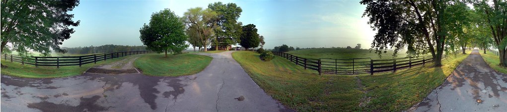
Windrose Panorama

The view out of my office Window this morning. Roads were not great at 7am, but I imagine by now they are better.
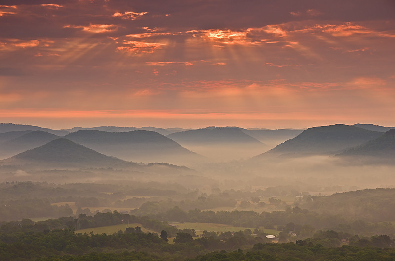
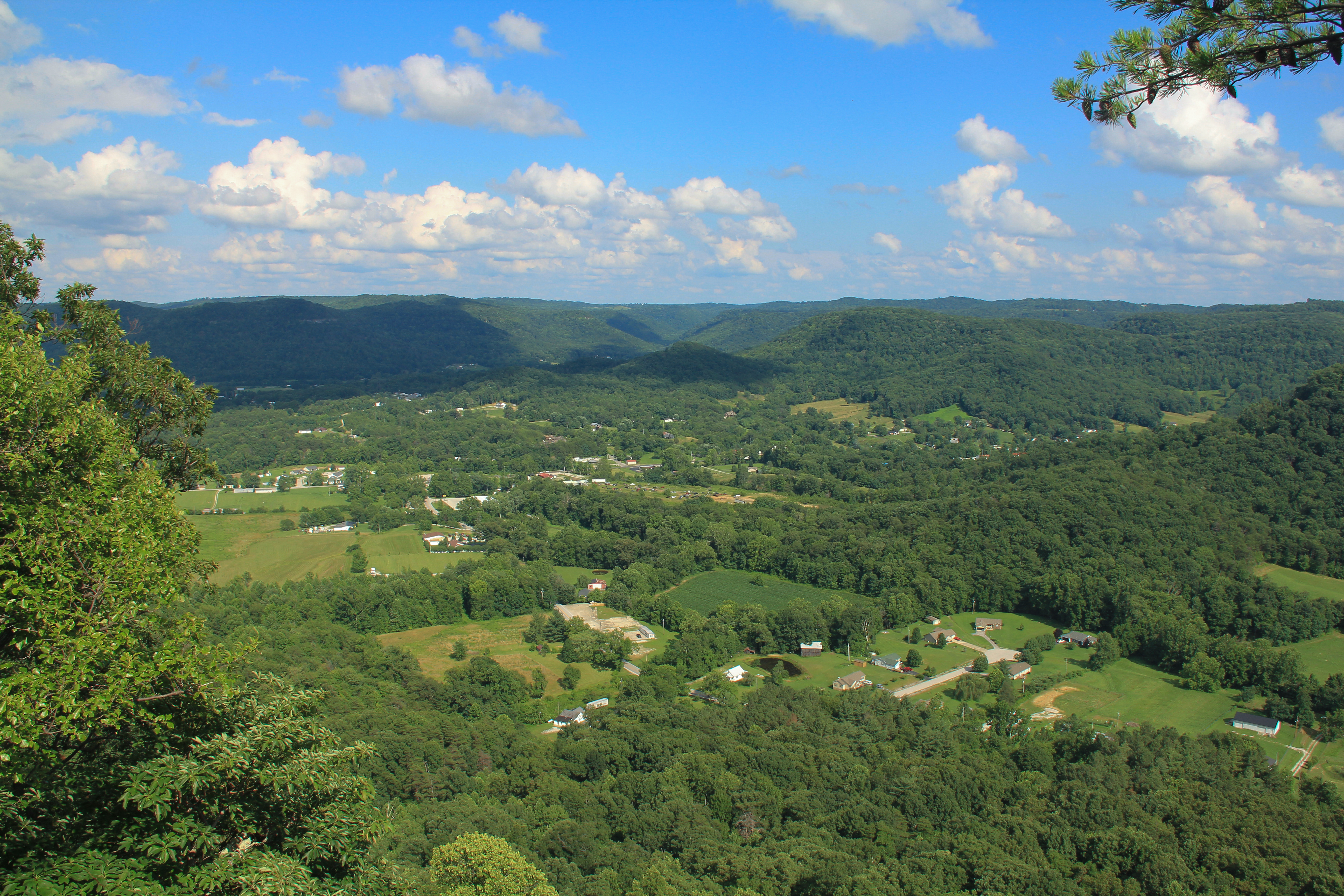
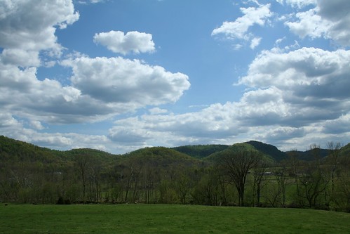
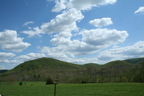
Sunrise over the Eastern Kentucky hills.
Bliss and ReUnion
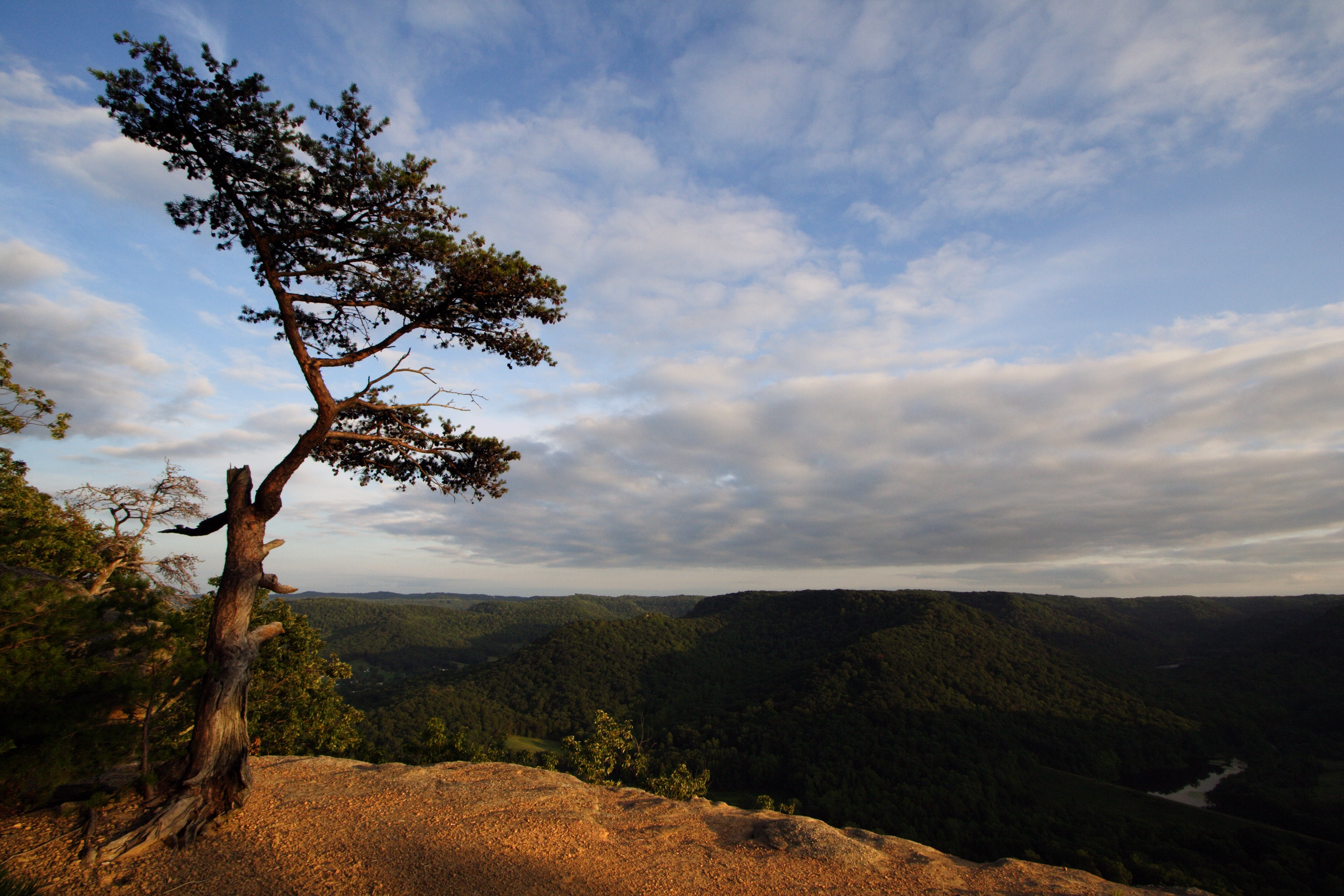
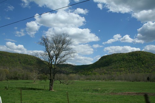
Lonely Pine on Indian Fort Mountain
Tres Palabras

Lonely Tree #photoart #trees #artsy #clouds #sunrise
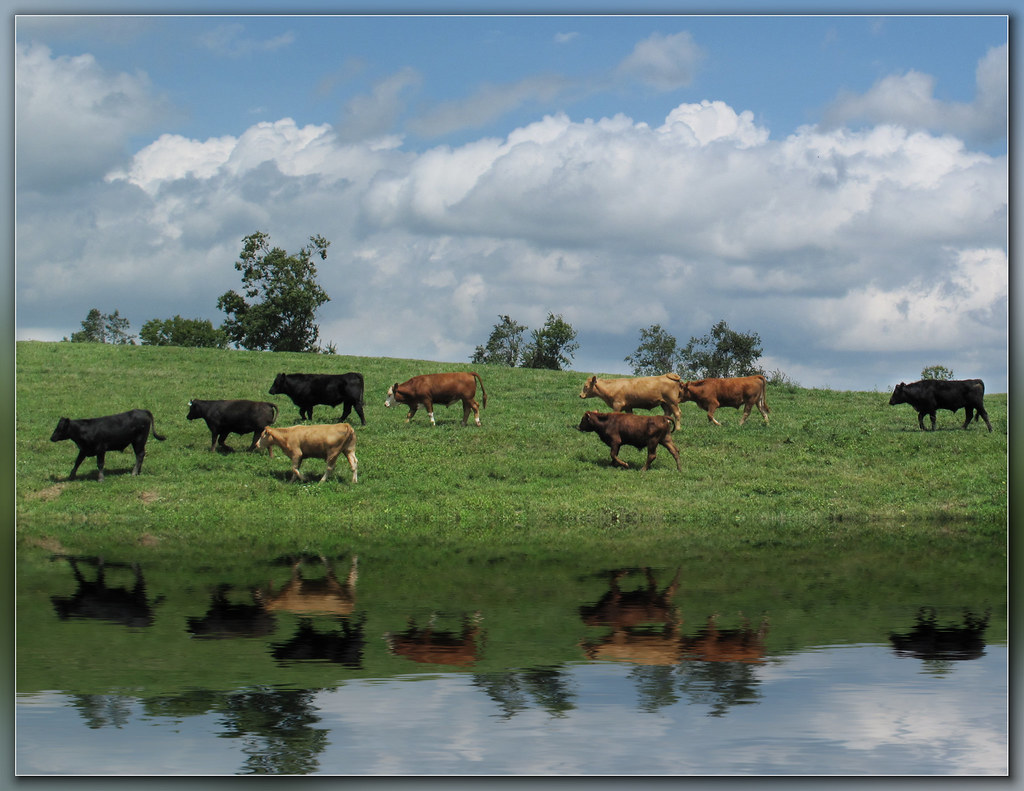
Steer this way, please.......

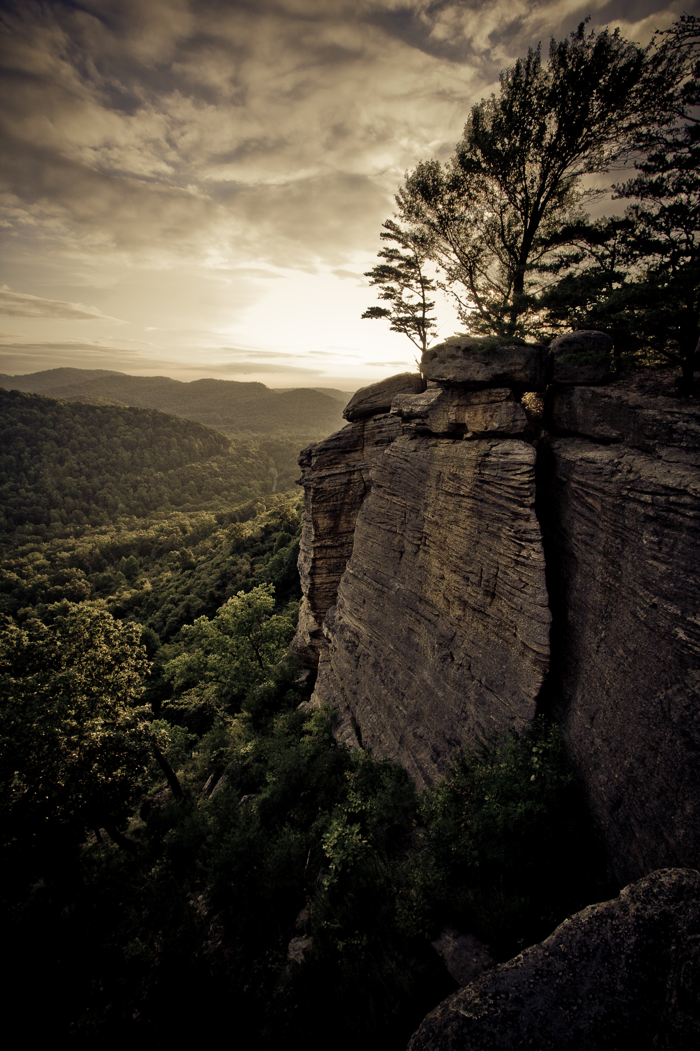
From Indian Fort Mountain at Eagle's Nest.

powell building, EKU campus
Topographic Map of Brassfield Rd, Richmond, KY, USA
Find elevation by address:

Places near Brassfield Rd, Richmond, KY, USA:
1989 Speedwell Rd
1989 Speedwell Rd
1005 Isaac Dr
Panola
Meadowbrook Rd, Richmond, KY, USA
Irvine Rd, Richmond, KY, USA
Waco
184 General Cleburne Dr
103 General Cleburne Dr
1045 Winston Rd
Punkin Run Road
225 Park Lakes Dr
114 Placid Dr
1105 Kim Kent Dr
725 Marietha Dr
1005 Round Mountain Rd
1000 Round Mountain Rd
The Castle Jewelry And Pawn Of Richmond
Wisemantown Road
Quail Run Estates
Recent Searches:
- Elevation of Corso Fratelli Cairoli, 35, Macerata MC, Italy
- Elevation of Tallevast Rd, Sarasota, FL, USA
- Elevation of 4th St E, Sonoma, CA, USA
- Elevation of Black Hollow Rd, Pennsdale, PA, USA
- Elevation of Oakland Ave, Williamsport, PA, USA
- Elevation of Pedrógão Grande, Portugal
- Elevation of Klee Dr, Martinsburg, WV, USA
- Elevation of Via Roma, Pieranica CR, Italy
- Elevation of Tavkvetili Mountain, Georgia
- Elevation of Hartfords Bluff Cir, Mt Pleasant, SC, USA