Elevation of Panola, KY, USA
Location: United States > Kentucky > Madison County >
Longitude: -84.115206
Latitude: 37.6609153
Elevation: 242m / 794feet
Barometric Pressure: 98KPa
Elevation Map:
Satellite Map:
Related Photos:

Old barn, Richmond Battlefield

Foggy morning view from Eagle's Nest on Indian Fort Mountain in Berea, KY

Foggy sunrise view from Eagle's Nest on Indian Fort Mountain in Berea, KY

Slave quarters

Something a little different.......

Berea Pinnacles

Foggy sunrise view from Eagle's Nest on Indian Fort Mountain in Berea, KY

Battle of Richmond Kentucky

Battle of Richmond, Kentucky - Eastern Half of Mount Zion Church Battlefield

Windrose Panorama

Battle of Richmond, Kentucky - Charge of the 95th Ohio

Battle of Richmond, Kentucky - Kingston

IMG_5460.JPG

IMG_5465.JPG

Battle of Richmond, Kentucky - White's Farm Phase

IMG_5454.JPG

IMG_5444.JPG

IMG_5441.JPG

IMG_5469.JPG

IMG_5443.JPG

IMG_5447.JPG

From Indian Fort Mountain at Eagle's Nest.

Richmond Battlefield, Kentucky

West Pinnacle forest trail. Berea , KY

Golden hour from the edge of the Cumberland Plateau

Lonely Pine on Indian Fort Mountain

Kudzu Railroad

Fire in the Hole!

Battle of Richmond, Kentucky - The Open Meadow

Battle of Richmond, KY

Battle of Richmond, Kentucky - Position of Hill's Brigade and Confederate Artillery
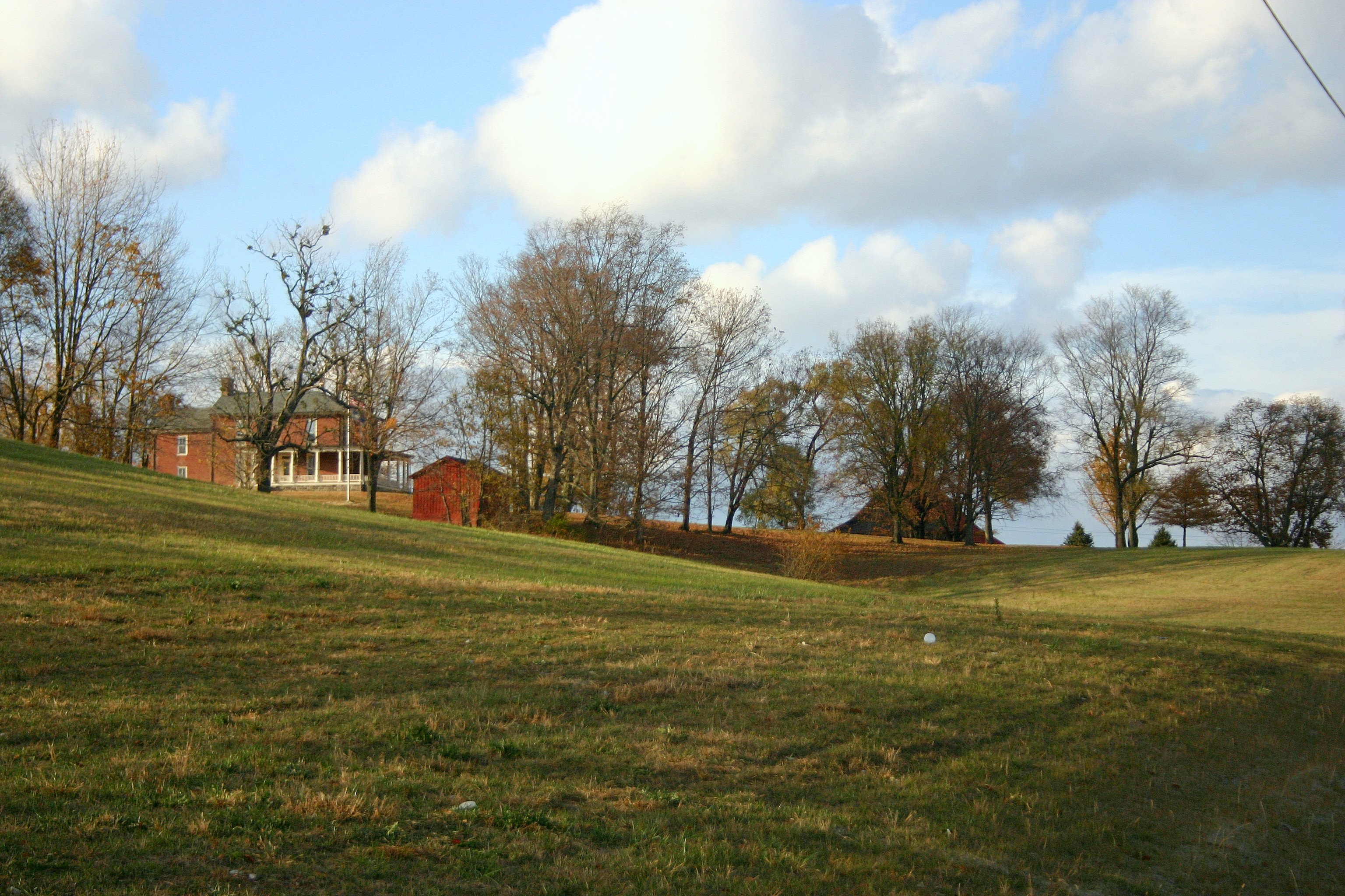
Battle of Richmond, Kentucky - Kavanaugh Armstrong House

Battle of Richmond, Kentucky - Charge of the 95th Ohio
Topographic Map of Panola, KY, USA
Find elevation by address:

Places near Panola, KY, USA:
1045 Winston Rd
1005 Round Mountain Rd
Brassfield Rd, Richmond, KY, USA
1000 Round Mountain Rd
1989 Speedwell Rd
1989 Speedwell Rd
114 Placid Dr
Wisemantown Road
1005 Isaac Dr
Quail Run Estates
Waco
Irvine Rd, Richmond, KY, USA
1287 Blackburn Rd
Meadowbrook Rd, Richmond, KY, USA
184 General Cleburne Dr
103 General Cleburne Dr
Punkin Run Road
225 Park Lakes Dr
1105 Kim Kent Dr
725 Marietha Dr
Recent Searches:
- Elevation of Corso Fratelli Cairoli, 35, Macerata MC, Italy
- Elevation of Tallevast Rd, Sarasota, FL, USA
- Elevation of 4th St E, Sonoma, CA, USA
- Elevation of Black Hollow Rd, Pennsdale, PA, USA
- Elevation of Oakland Ave, Williamsport, PA, USA
- Elevation of Pedrógão Grande, Portugal
- Elevation of Klee Dr, Martinsburg, WV, USA
- Elevation of Via Roma, Pieranica CR, Italy
- Elevation of Tavkvetili Mountain, Georgia
- Elevation of Hartfords Bluff Cir, Mt Pleasant, SC, USA