Elevation of Round Mountain Rd, Irvine, KY, USA
Location: United States > Kentucky > Estill County >
Longitude: -84.056631
Latitude: 37.6518214
Elevation: 219m / 719feet
Barometric Pressure: 99KPa
Elevation Map:
Satellite Map:
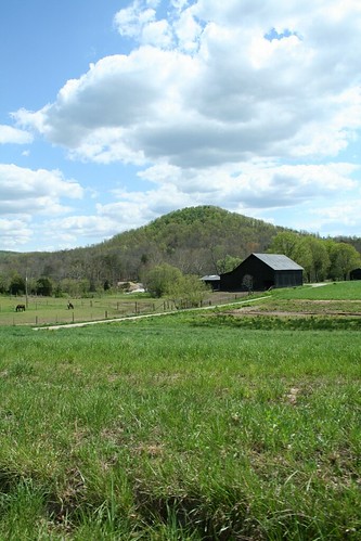
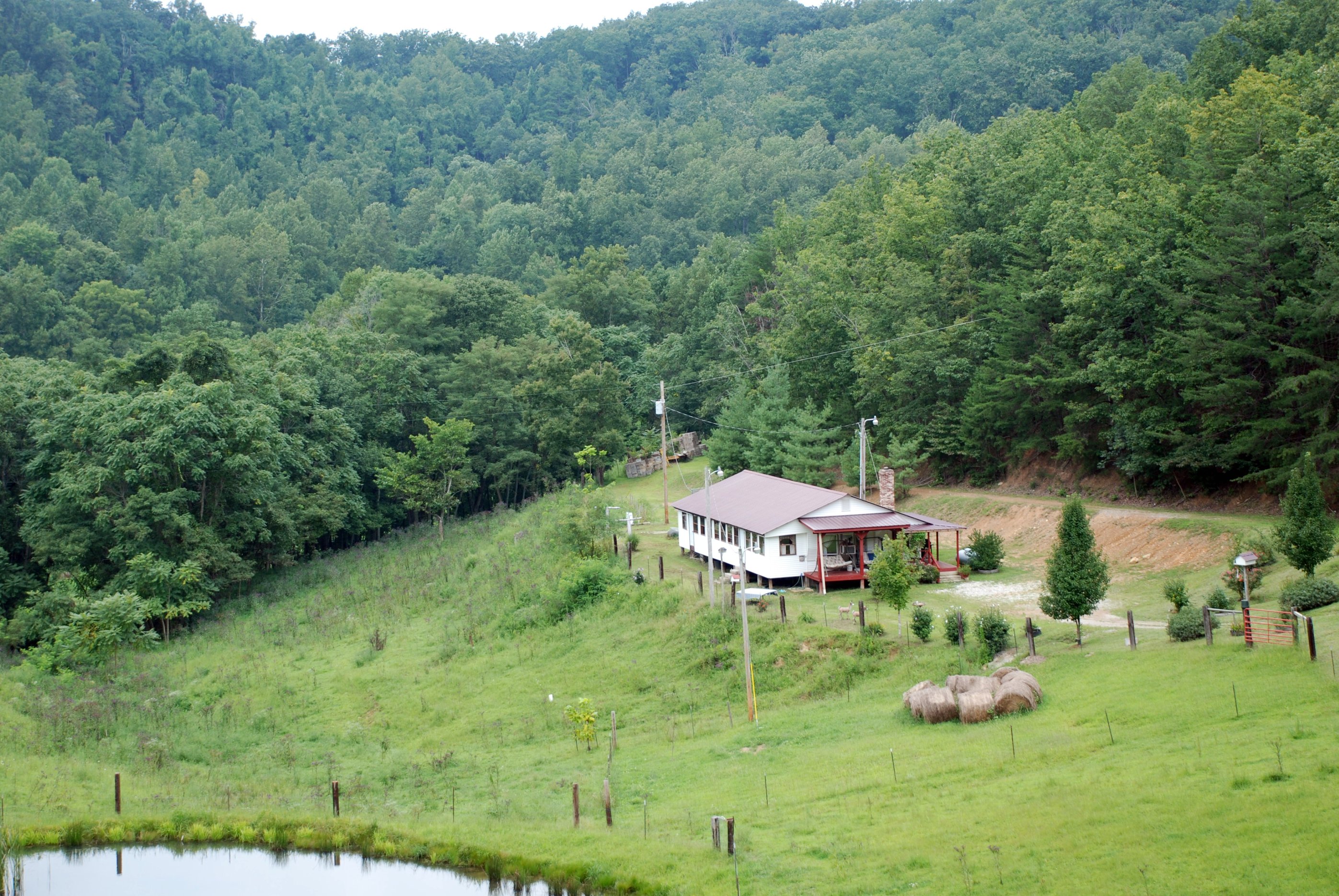
Related Photos:

snowy scene

County Wall
IMG_5441.JPG
IMG_5444.JPG
IMG_5447.JPG
IMG_5440.JPG
IMG_5445.JPG
IMG_5442.JPG
IMG_5460.JPG
IMG_5423.JPG
IMG_5422.JPG
IMG_5465.JPG
IMG_5443.JPG
IMG_5430.JPG
IMG_5433.JPG
IMG_5429.JPG
IMG_5420.JPG
IMG_5434.JPG
IMG_5455.JPG
IMG_5454.JPG
IMG_5469.JPG
IMG_5425.JPG
IMG_5431.JPG

Kudzu Railroad
Lynch Town School ...... not
Boredom 2
Topographic Map of Round Mountain Rd, Irvine, KY, USA
Find elevation by address:

Places near Round Mountain Rd, Irvine, KY, USA:
1000 Round Mountain Rd
Wisemantown Road
Quail Run Estates
1045 Winston Rd
1287 Blackburn Rd
Panola
114 Placid Dr
Brassfield Rd, Richmond, KY, USA
1989 Speedwell Rd
1989 Speedwell Rd
Waco
1005 Isaac Dr
Irvine Rd, Richmond, KY, USA
Meadowbrook Rd, Richmond, KY, USA
184 General Cleburne Dr
103 General Cleburne Dr
Punkin Run Road
225 Park Lakes Dr
1105 Kim Kent Dr
725 Marietha Dr
Recent Searches:
- Elevation of Corso Fratelli Cairoli, 35, Macerata MC, Italy
- Elevation of Tallevast Rd, Sarasota, FL, USA
- Elevation of 4th St E, Sonoma, CA, USA
- Elevation of Black Hollow Rd, Pennsdale, PA, USA
- Elevation of Oakland Ave, Williamsport, PA, USA
- Elevation of Pedrógão Grande, Portugal
- Elevation of Klee Dr, Martinsburg, WV, USA
- Elevation of Via Roma, Pieranica CR, Italy
- Elevation of Tavkvetili Mountain, Georgia
- Elevation of Hartfords Bluff Cir, Mt Pleasant, SC, USA