Elevation of Sistersville, WV, USA
Location: United States > West Virginia > Tyler County > West >
Longitude: -80.995940
Latitude: 39.564242
Elevation: 198m / 650feet
Barometric Pressure: 99KPa
Elevation Map:
Satellite Map:
Related Photos:
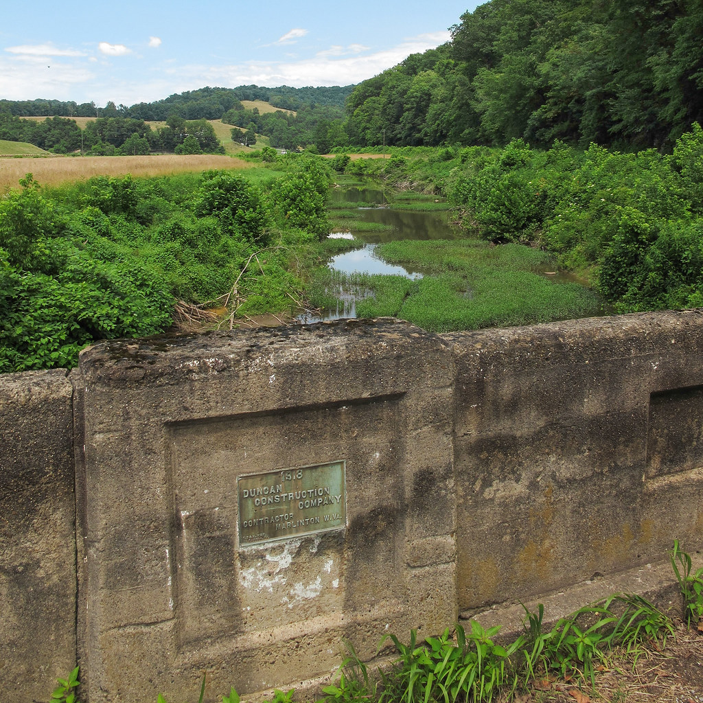
"1918; Duncan Construction Company, Contractor, Marlinton, W. Va.," it says.
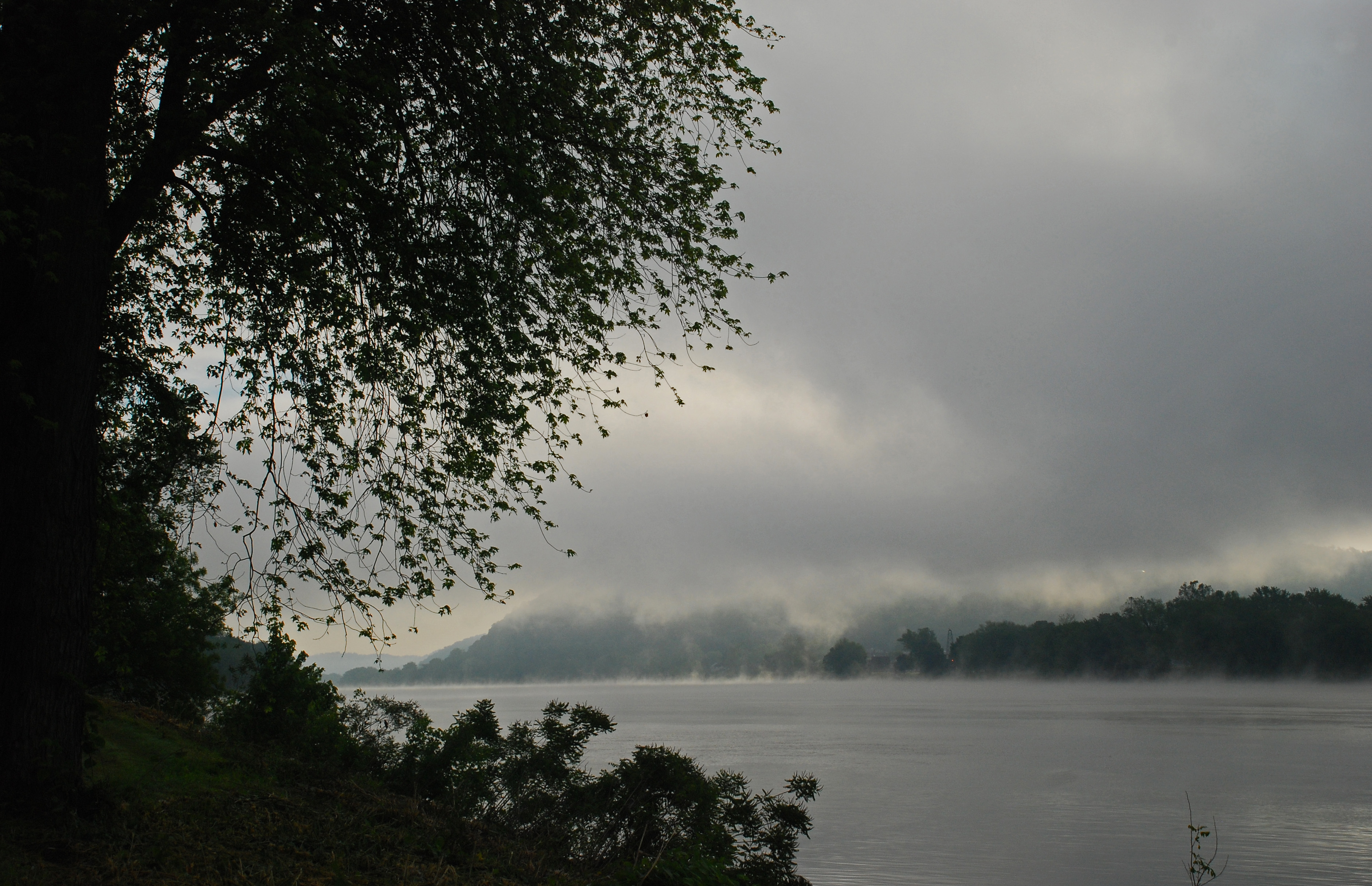
Foggy Fly Sunrise
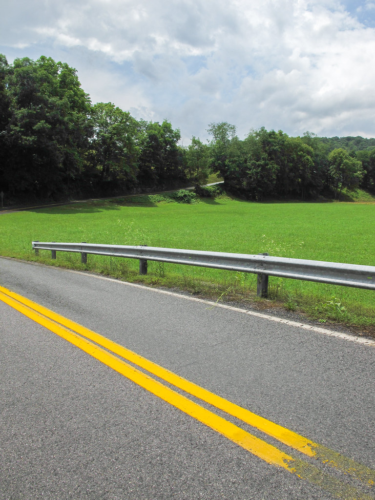
The "double yellow lines" portions of our ideations of "country roads" in rural West Virginia.
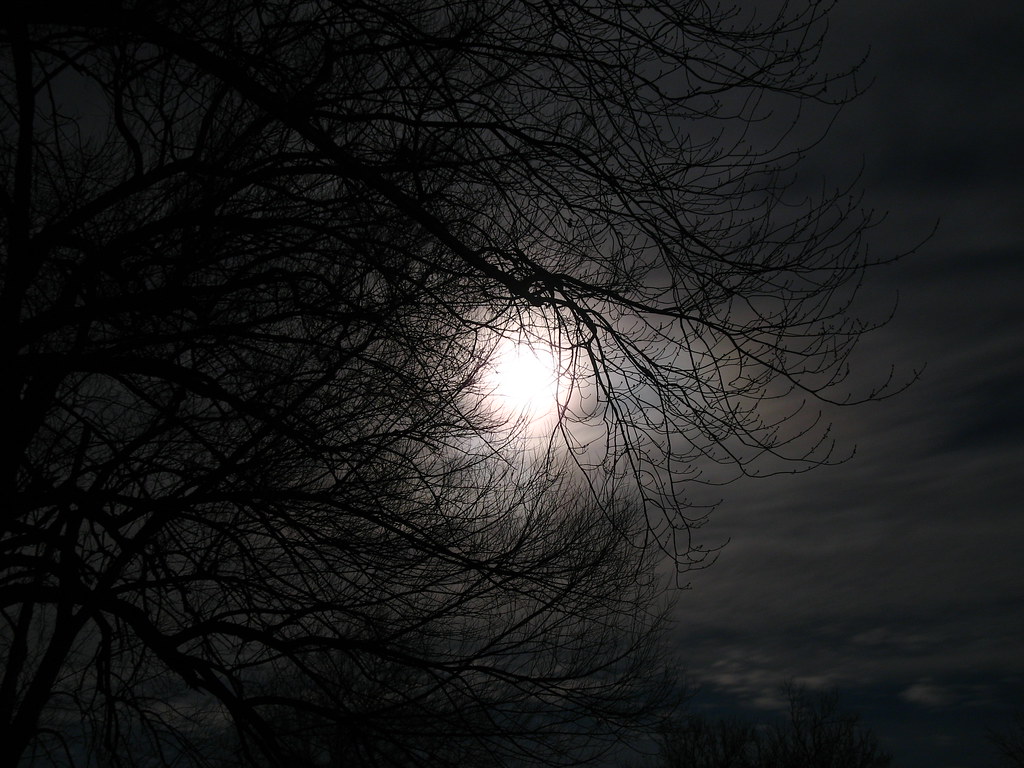
Cloudy Night.
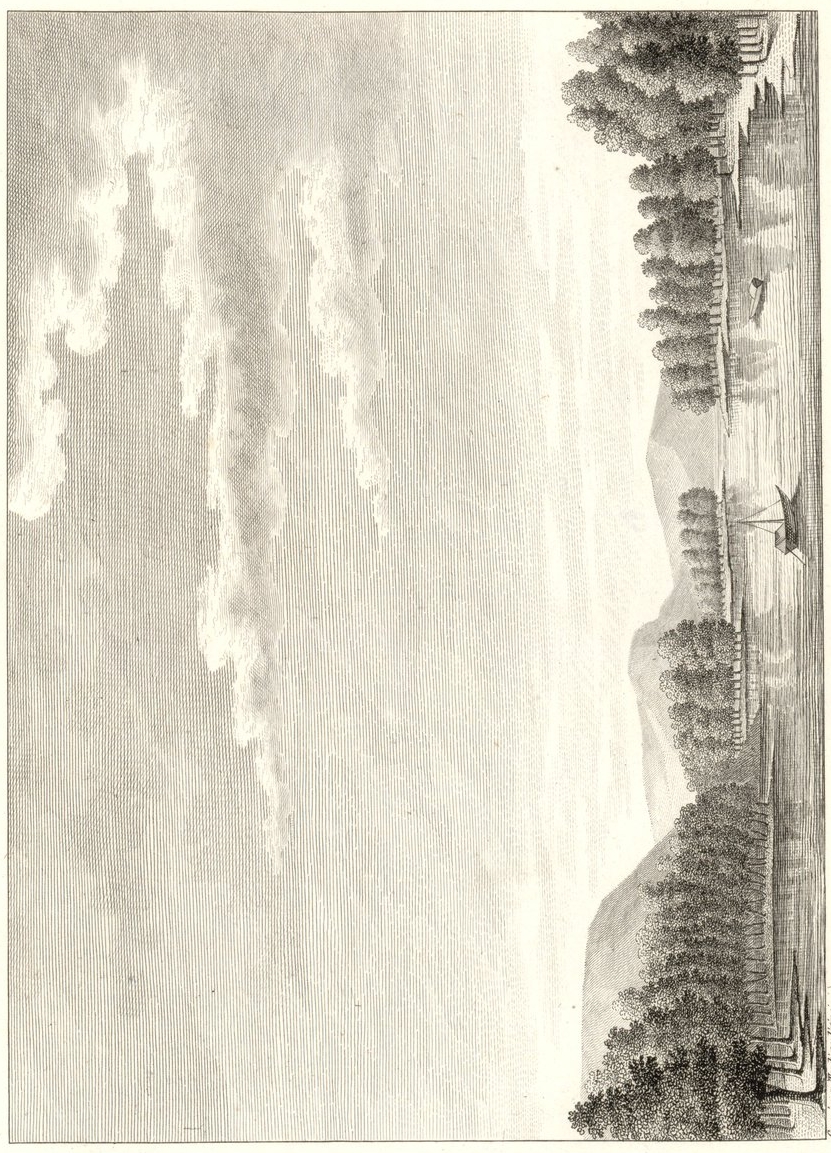
View of Long-Reach
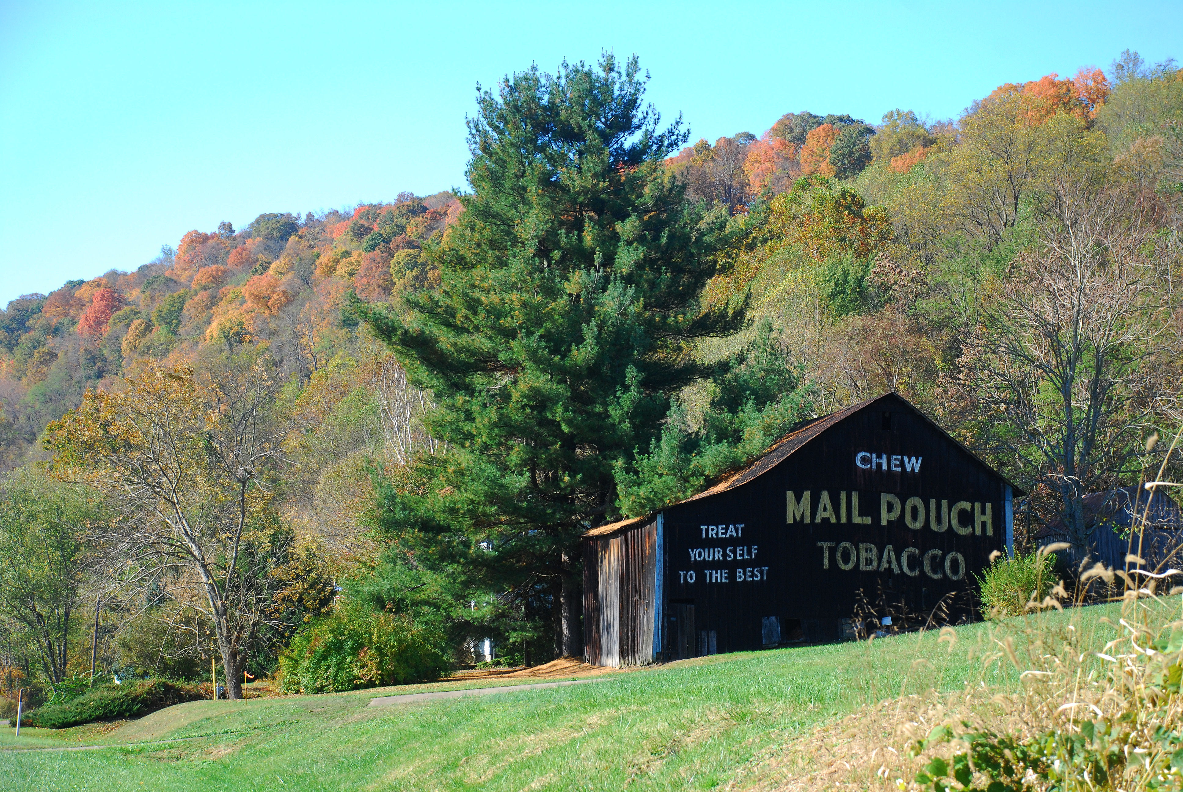
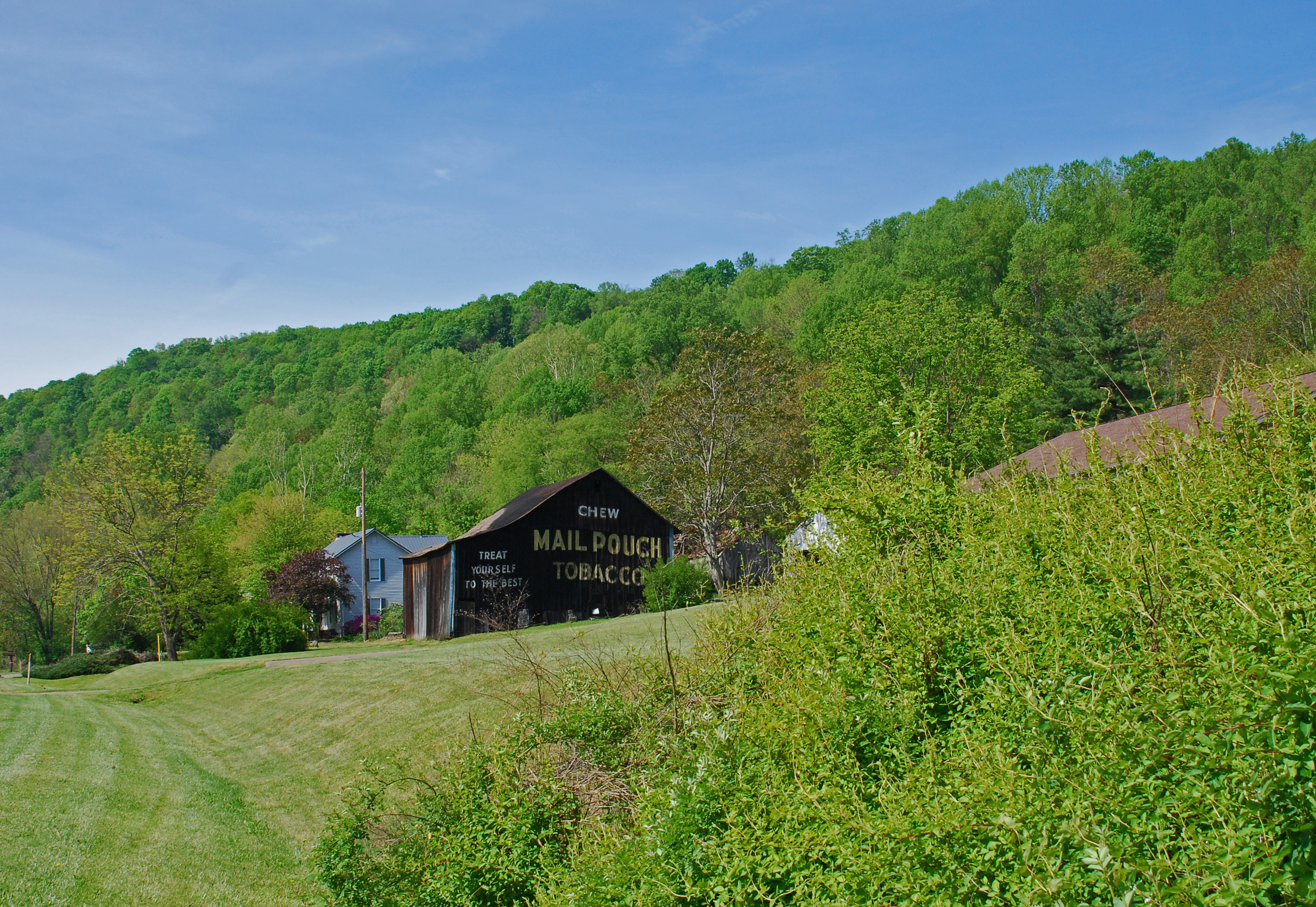
Route Seven Mailpouch Barn

West Virginia ~ Friendly

Knowlton Covered Bridge
Foggy Fly Sunrise
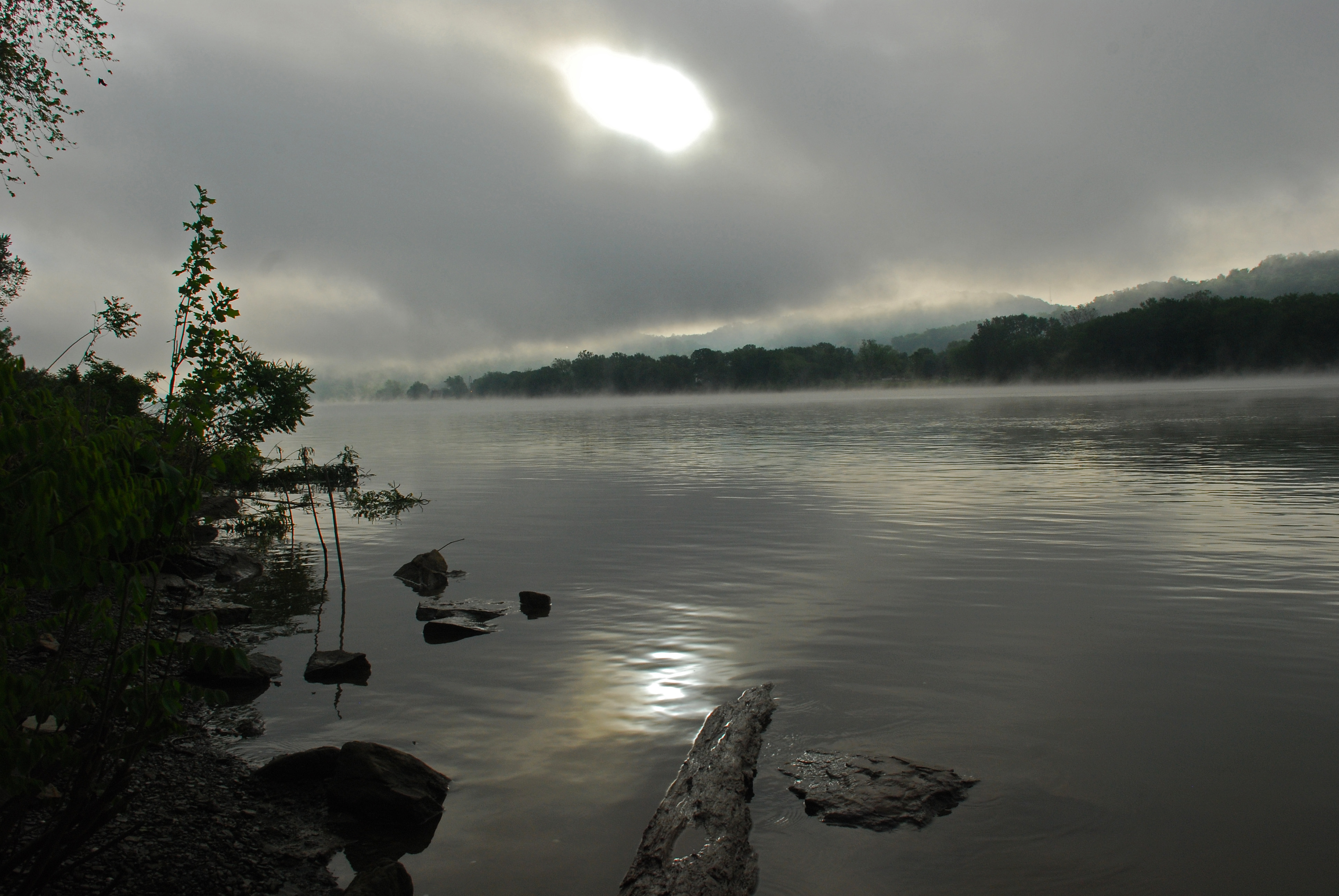
Foggy Fly Sunrise
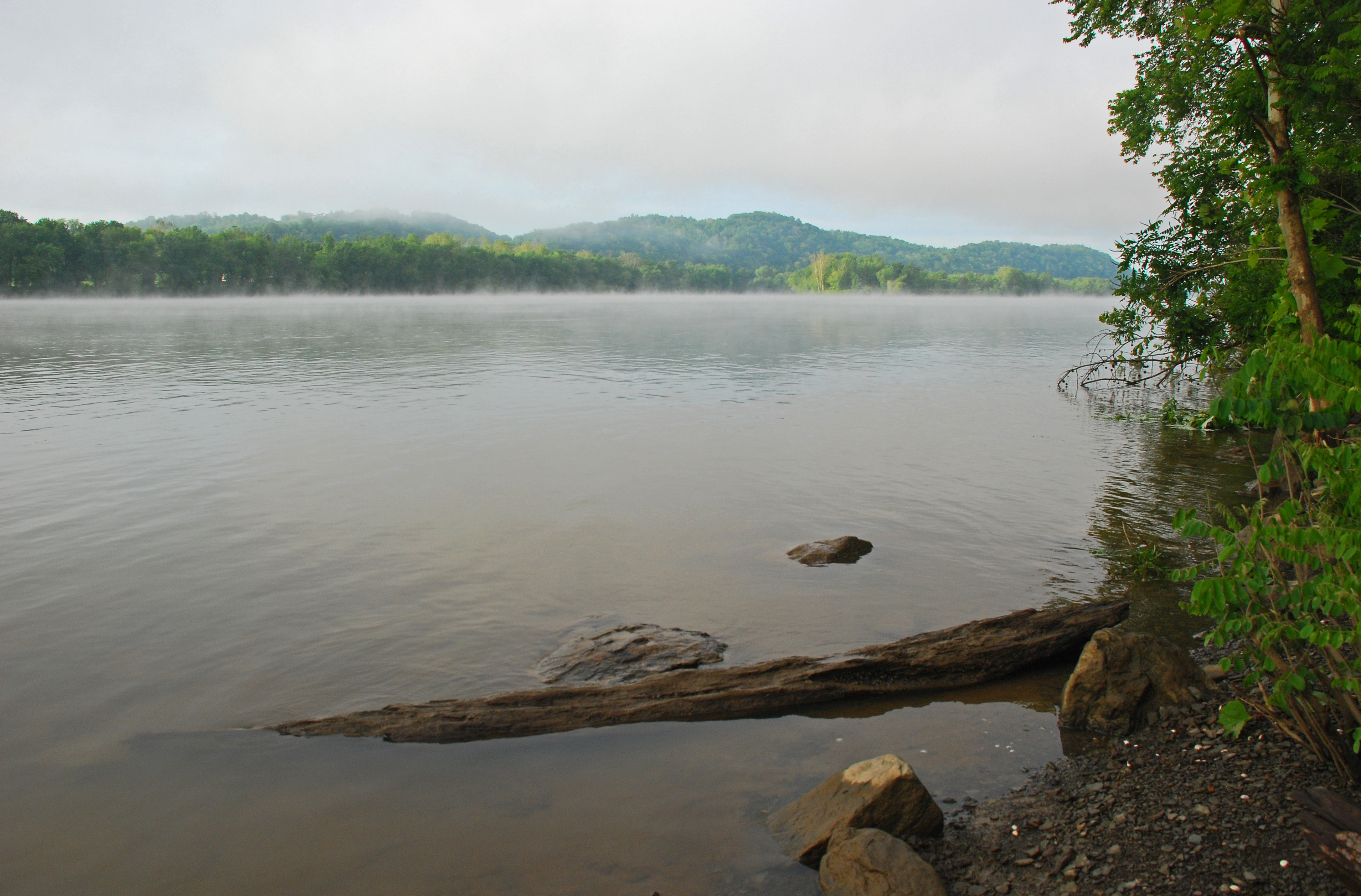
Foggy Fly Sunrise
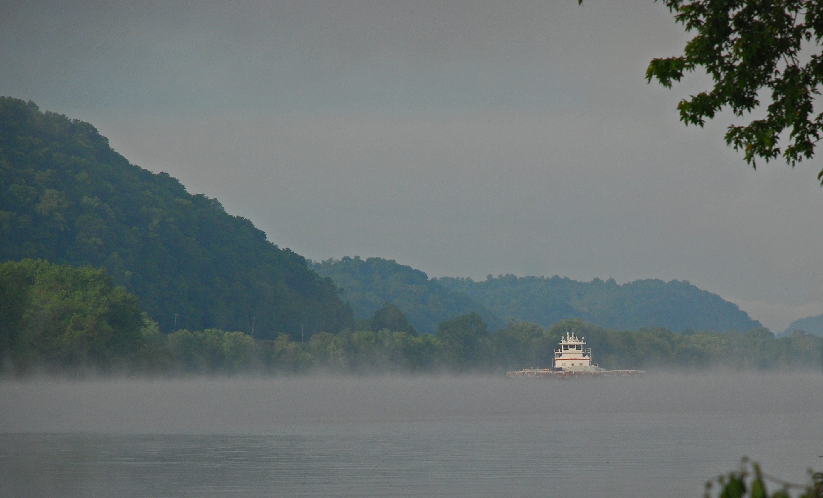
One of the weirdo things about the Ohio River Valley is: that there are not hordes of area residents lined up along the riverbanks, to gawk at the Ohio River, on pretty mornings such as these.
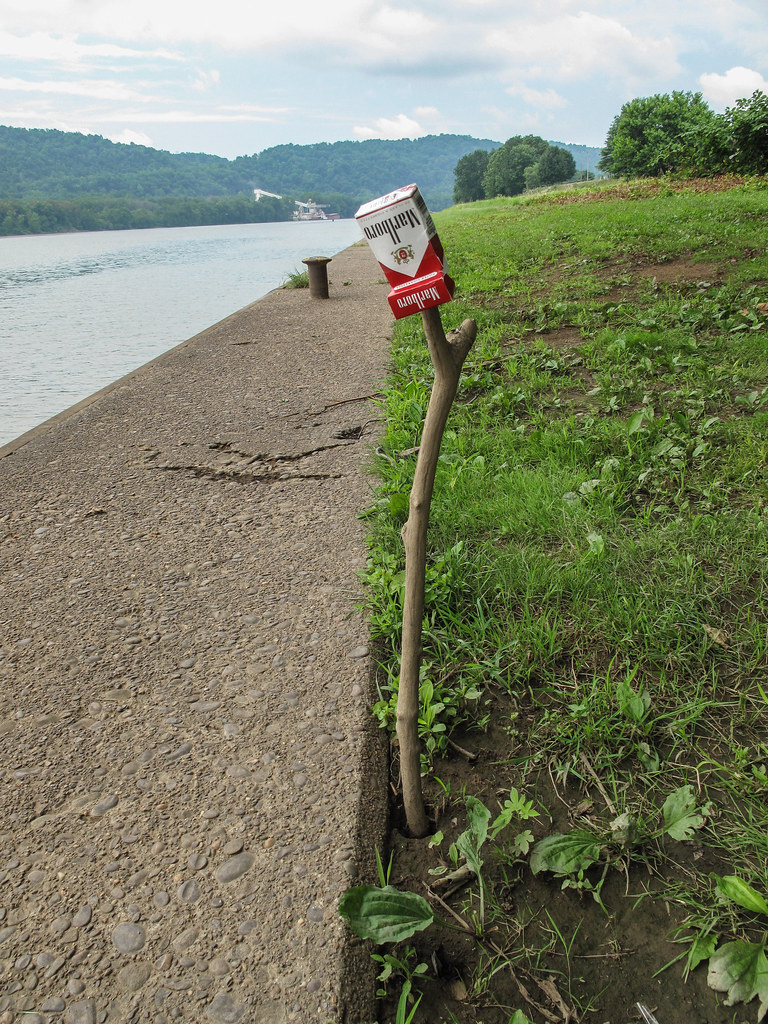
Ohio River cigarette show.

Knowlton Covered Bridge
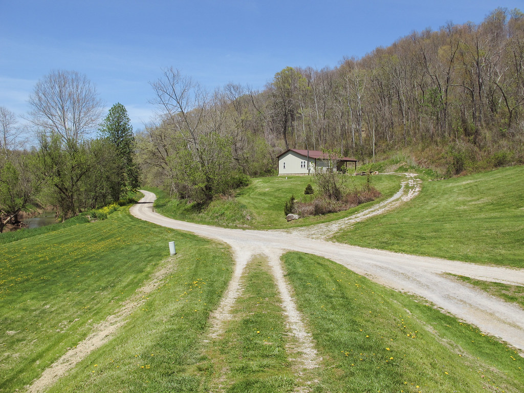
A rural fivepoints.

Monroe County

Knowlton Covered Bridge
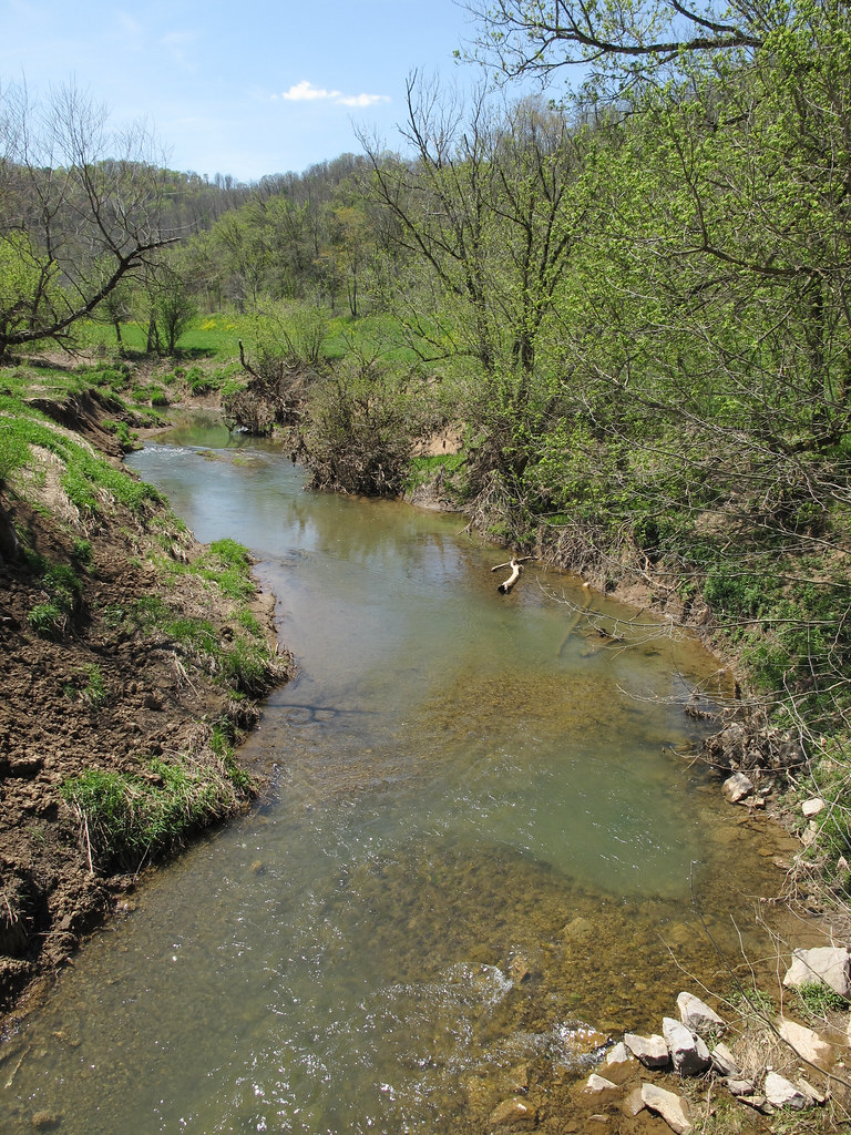
The Clear Fork of the Little Muskingum River was extraordinarily good-looking this late-April day.
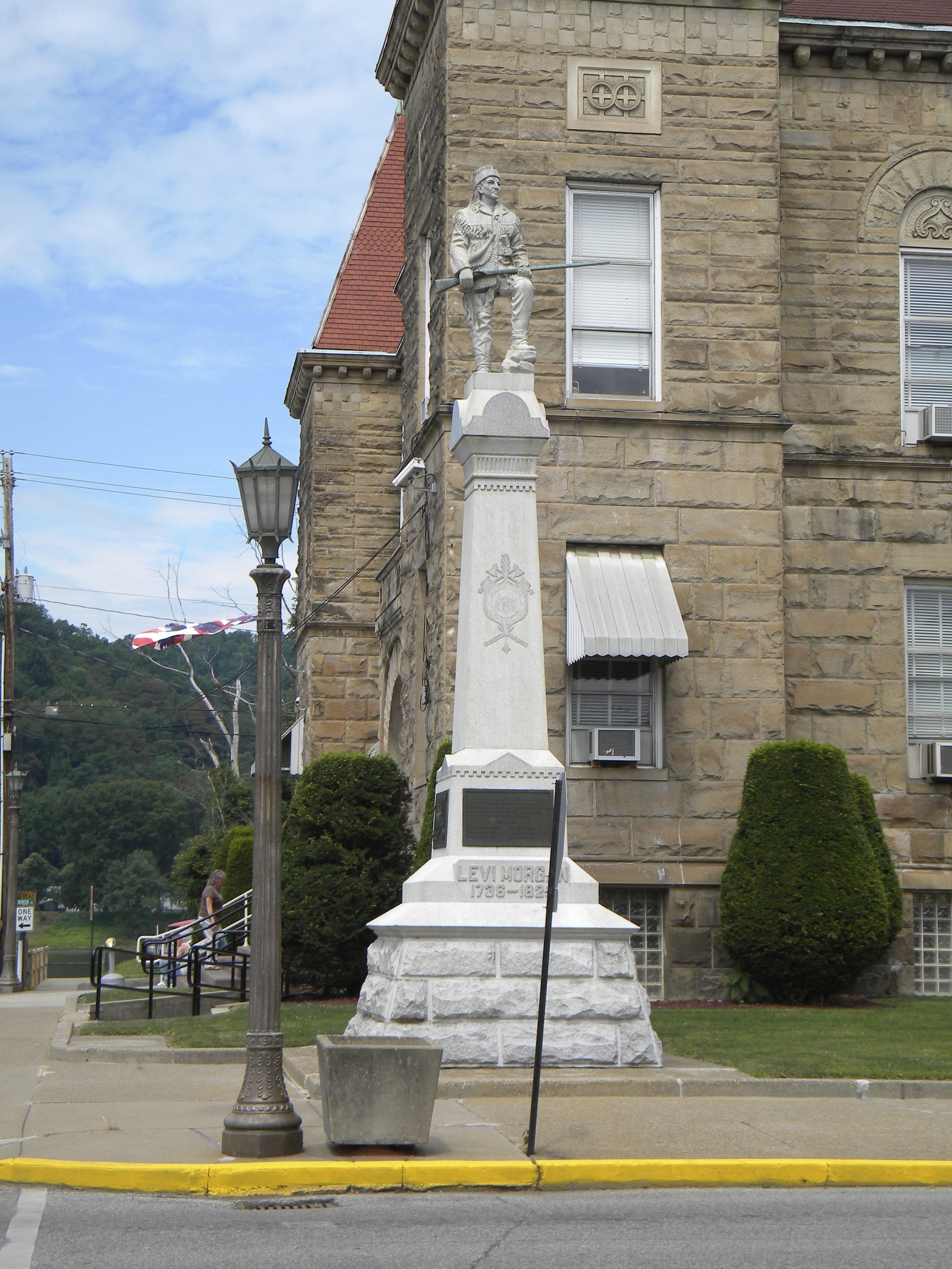
West Virginia: Wetzel: Levi Morgan Statue

Knowlton Covered Bridge
Parting Shot of Knowlton Covered Bridge

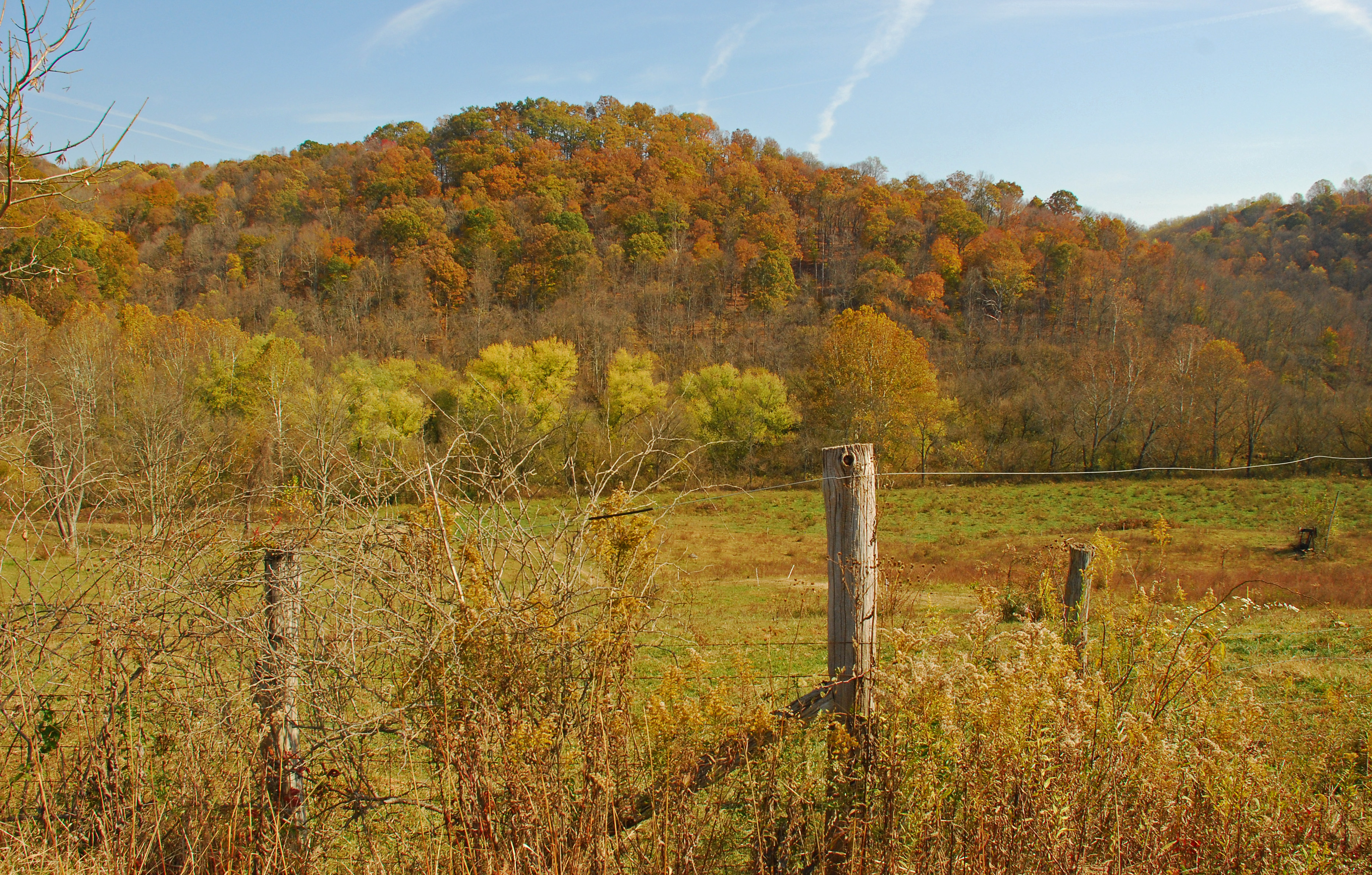
Tyler County, West Virginia
The Jug

The Jug
down below the bridge
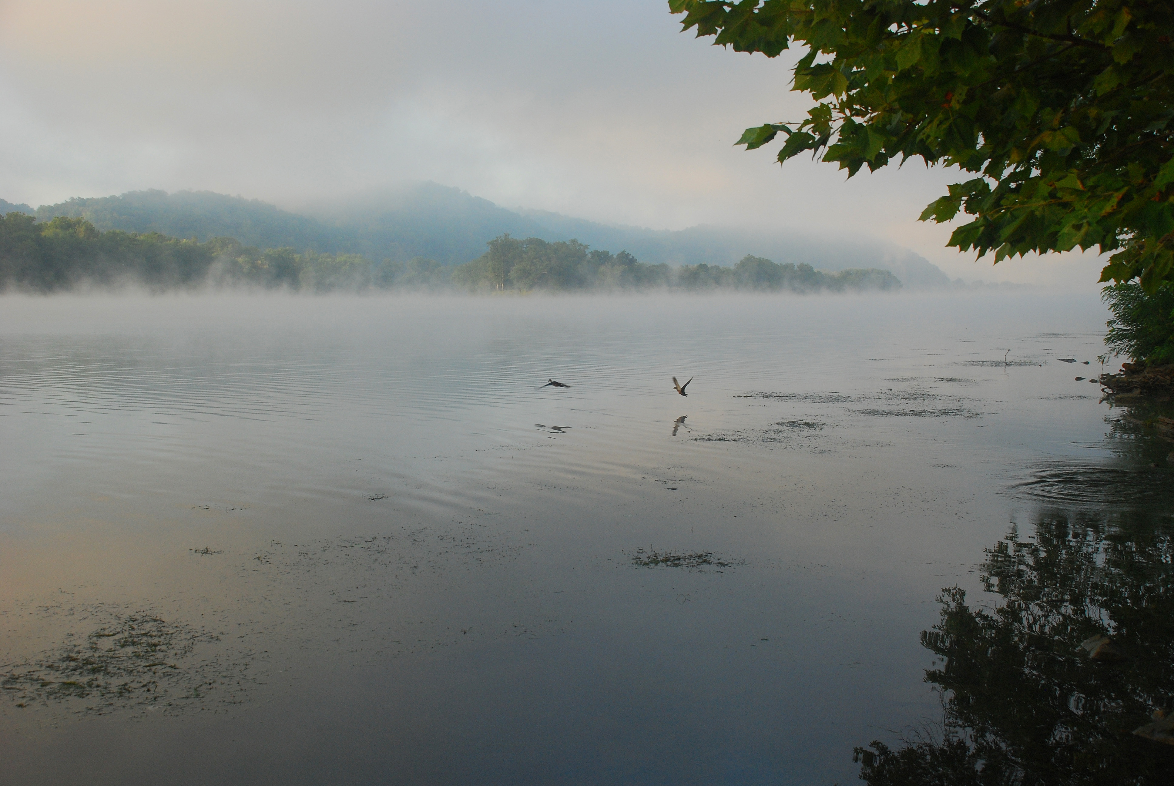
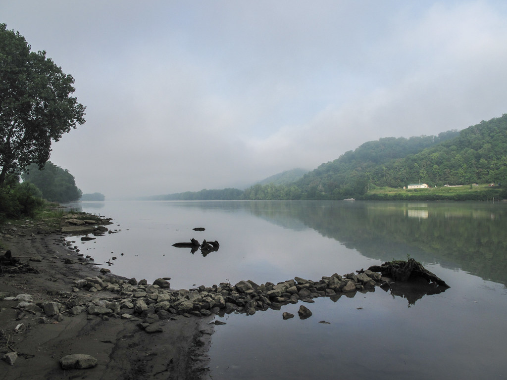
Foggy Ohio River Sunrise
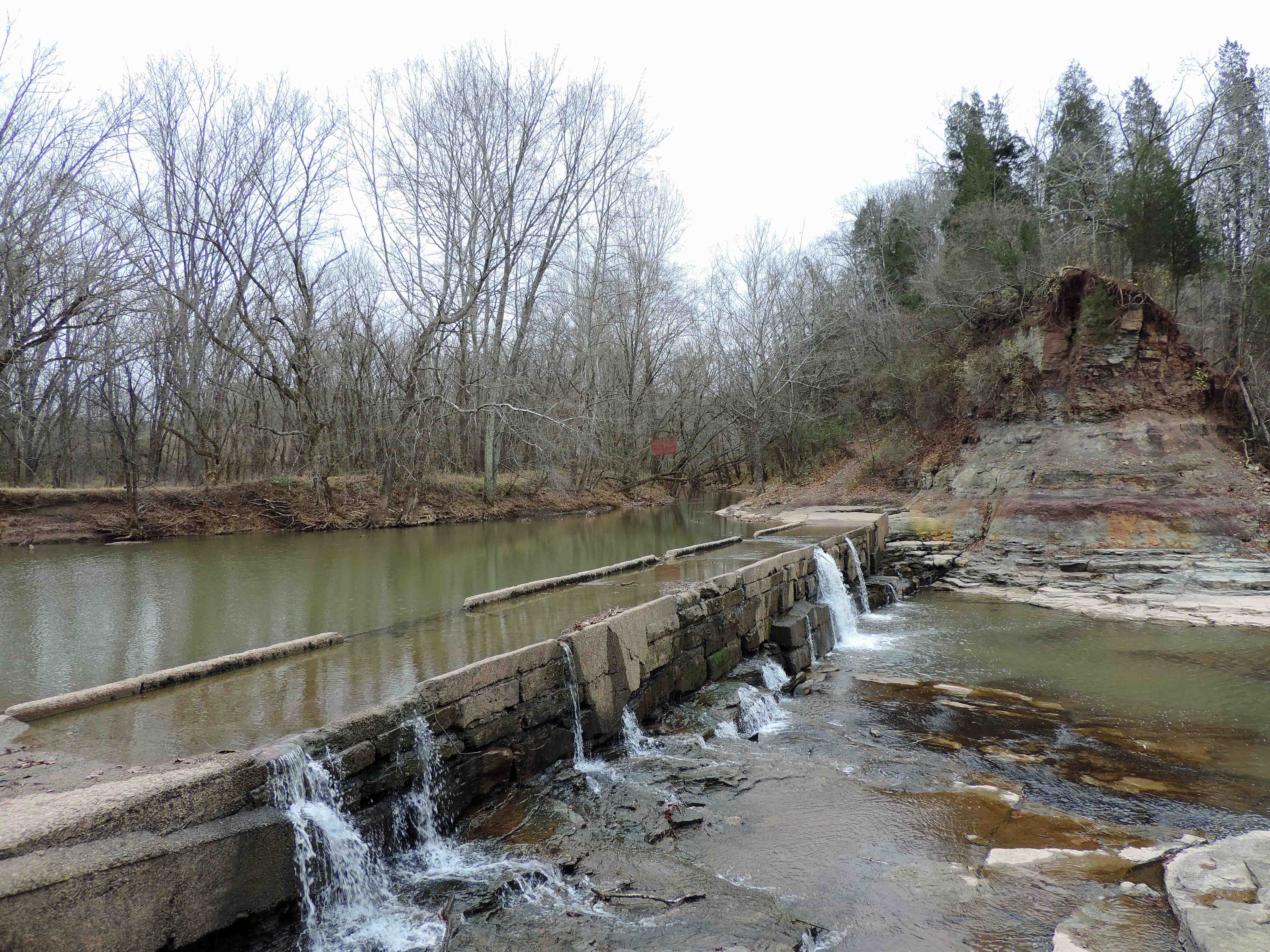
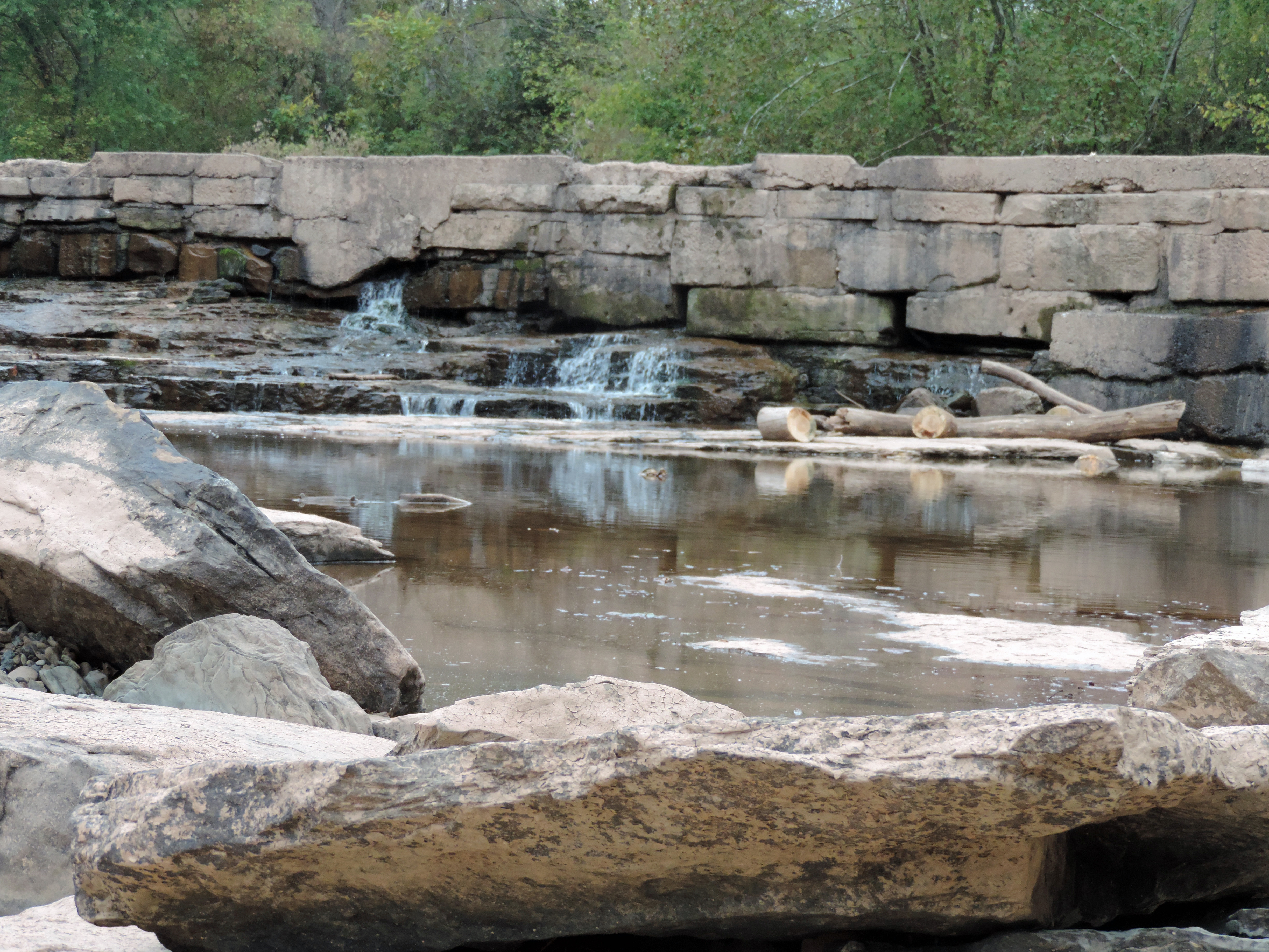
MIddle Island Creek at the Jug
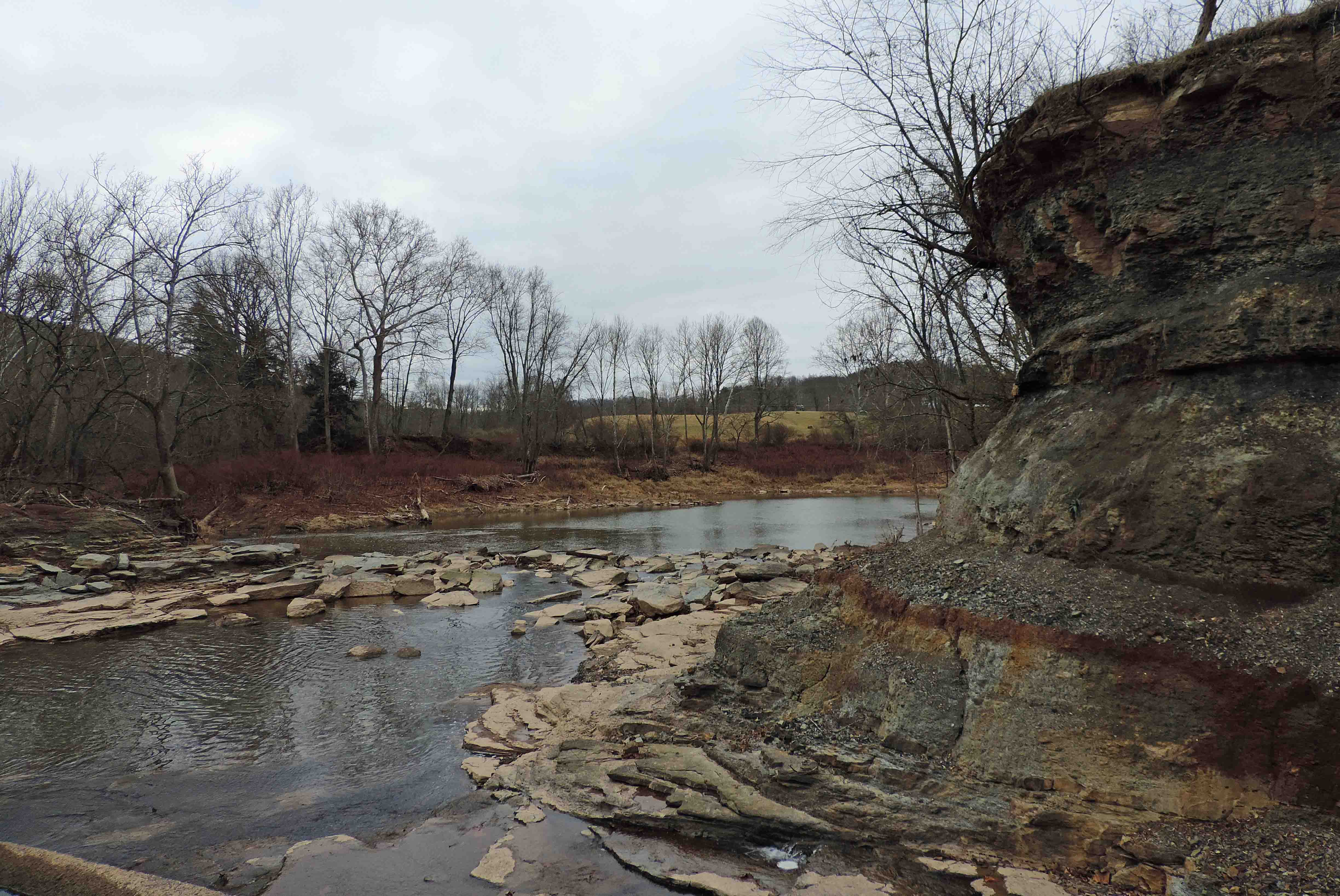
Down Middle Island Creek
Don't Touch That Third Wire

Little Muskingum River

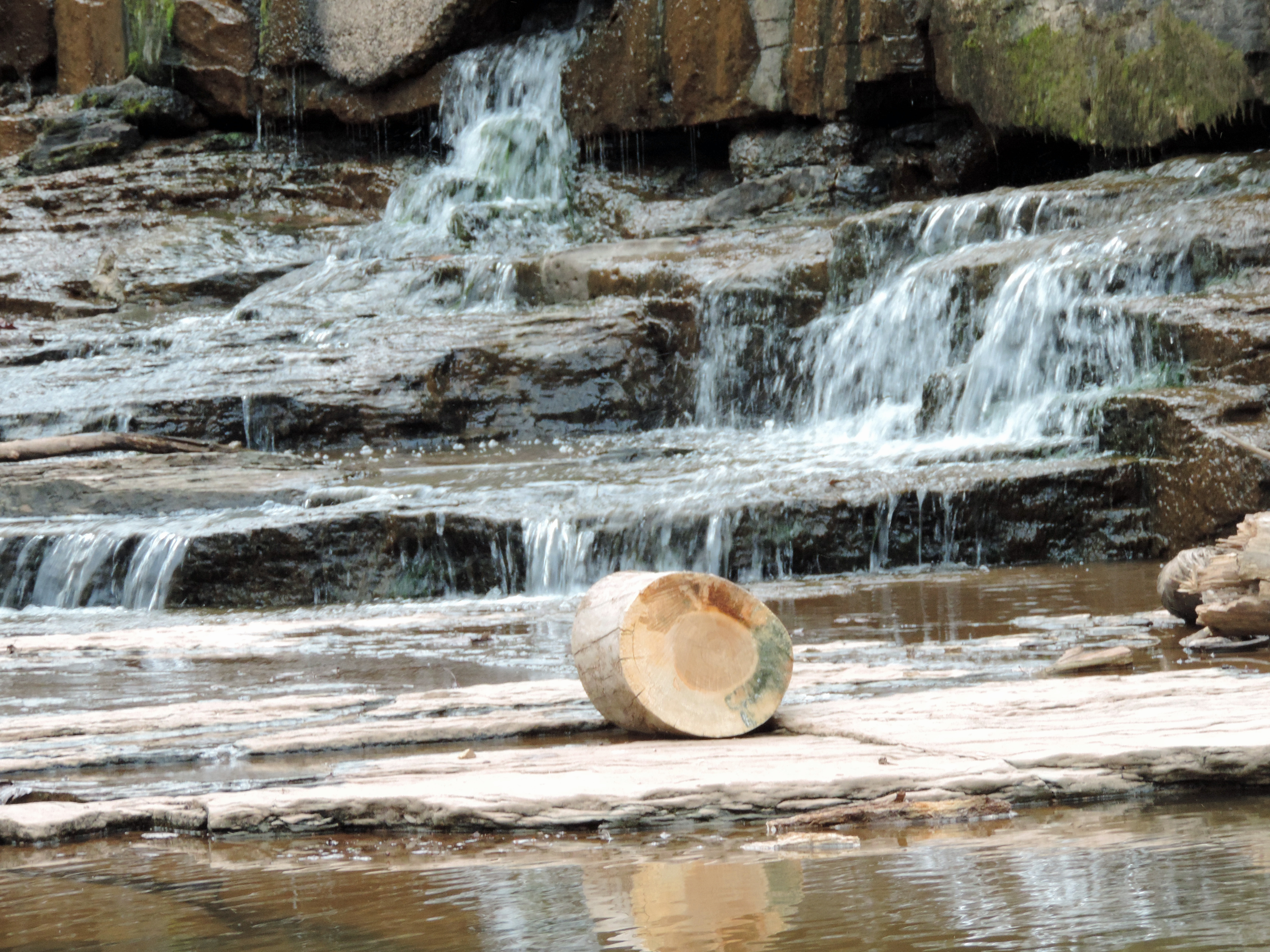
Looking Up the Creek
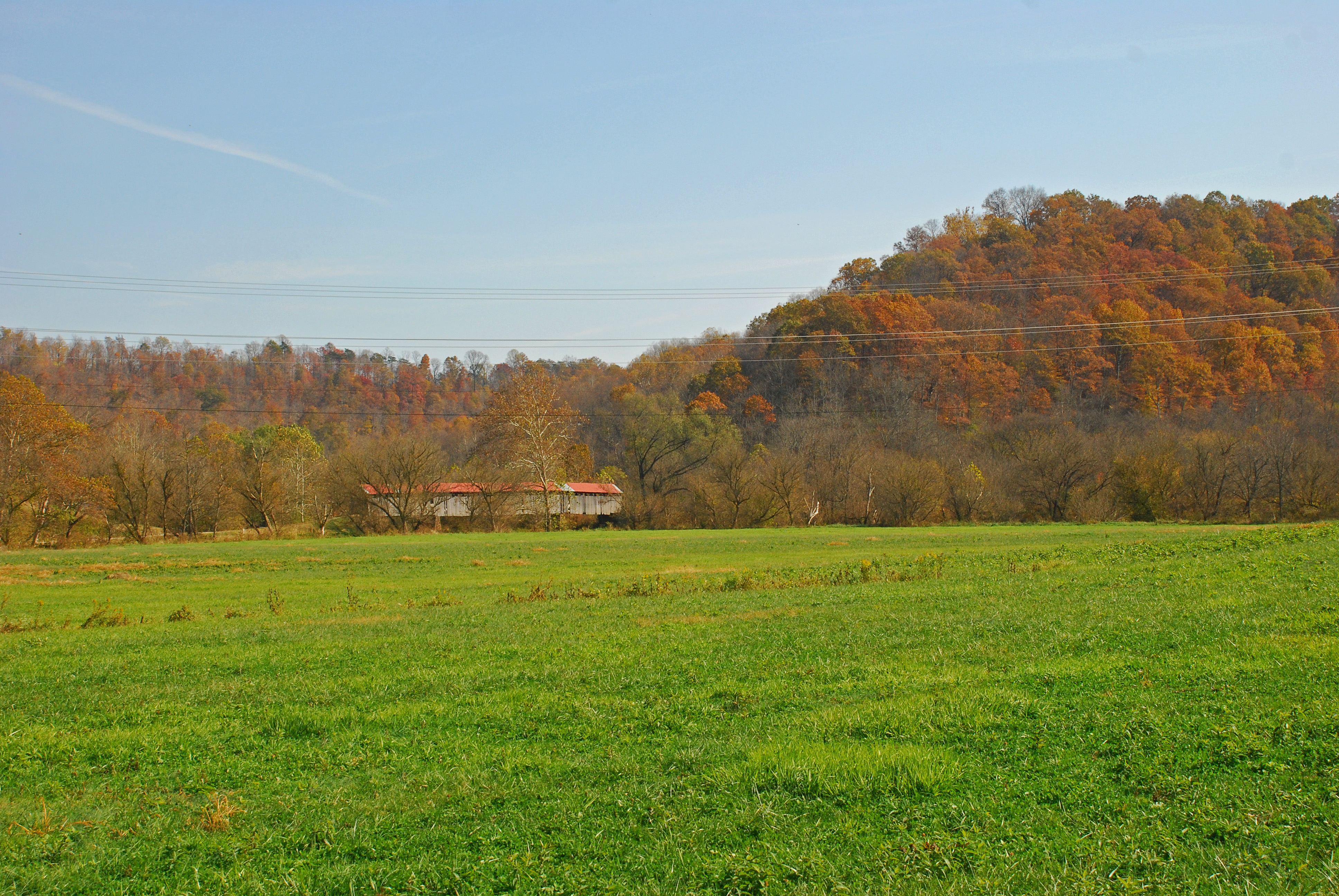
Mail Pouch Spring Landscape

Bales of Hay and Broken Down Barn
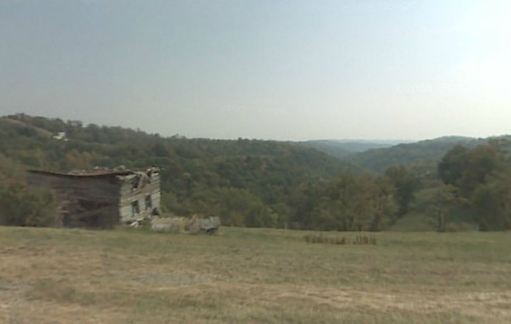
Abandoned Log House Sardis, OH
Topographic Map of Sistersville, WV, USA
Find elevation by address:

Places near Sistersville, WV, USA:
45603 Ludolph Ridge Rd
West
Jackson Township
Paden City
Friendly
Matamoras
New Matamoras
Central
750 Pleasant Ridge Rd
Grandview Township
North
38648 Oh-800
Middlebourne
Cider Run Rd, New Martinsville, WV, USA
Rinard Mills Rd, New Matamoras, OH, USA
Beech Run, Friendly, WV, USA
Wick
Tyler County
New Martinsville
Rinard Mills
Recent Searches:
- Elevation of Corso Fratelli Cairoli, 35, Macerata MC, Italy
- Elevation of Tallevast Rd, Sarasota, FL, USA
- Elevation of 4th St E, Sonoma, CA, USA
- Elevation of Black Hollow Rd, Pennsdale, PA, USA
- Elevation of Oakland Ave, Williamsport, PA, USA
- Elevation of Pedrógão Grande, Portugal
- Elevation of Klee Dr, Martinsburg, WV, USA
- Elevation of Via Roma, Pieranica CR, Italy
- Elevation of Tavkvetili Mountain, Georgia
- Elevation of Hartfords Bluff Cir, Mt Pleasant, SC, USA