Elevation of Tyler County, WV, USA
Location: United States > West Virginia >
Longitude: -80.854384
Latitude: 39.4977025
Elevation: 247m / 810feet
Barometric Pressure: 98KPa
Elevation Map:
Satellite Map:
Related Photos:
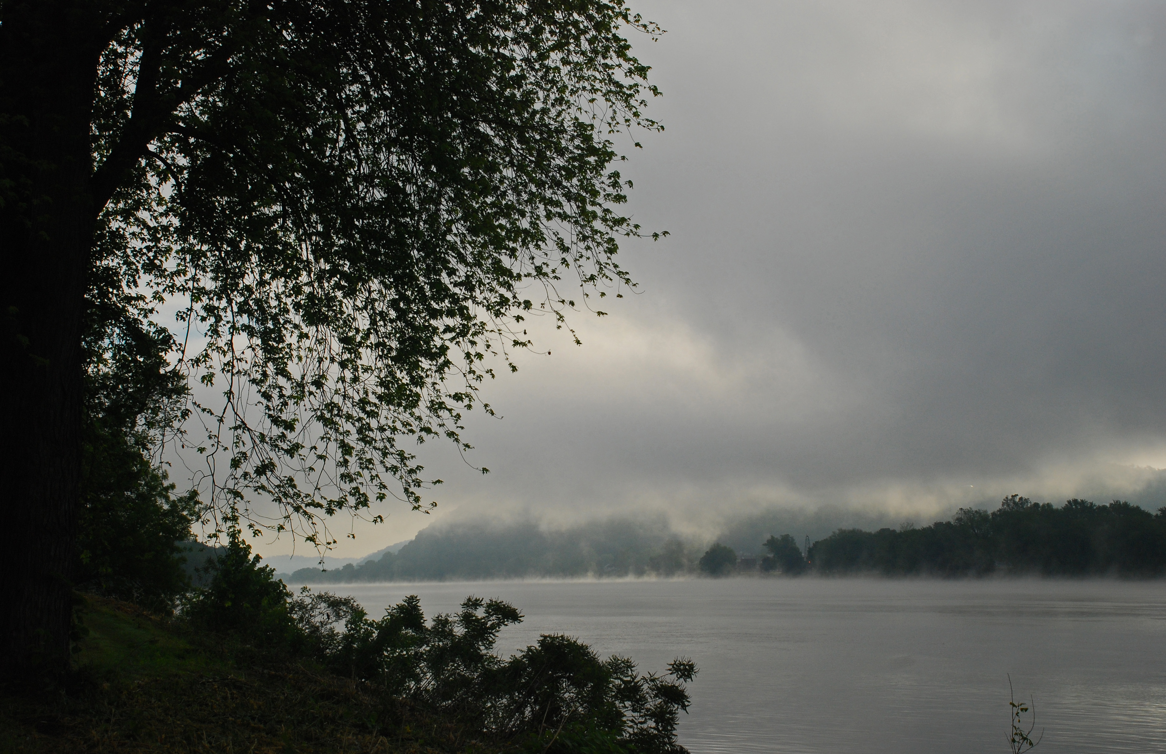
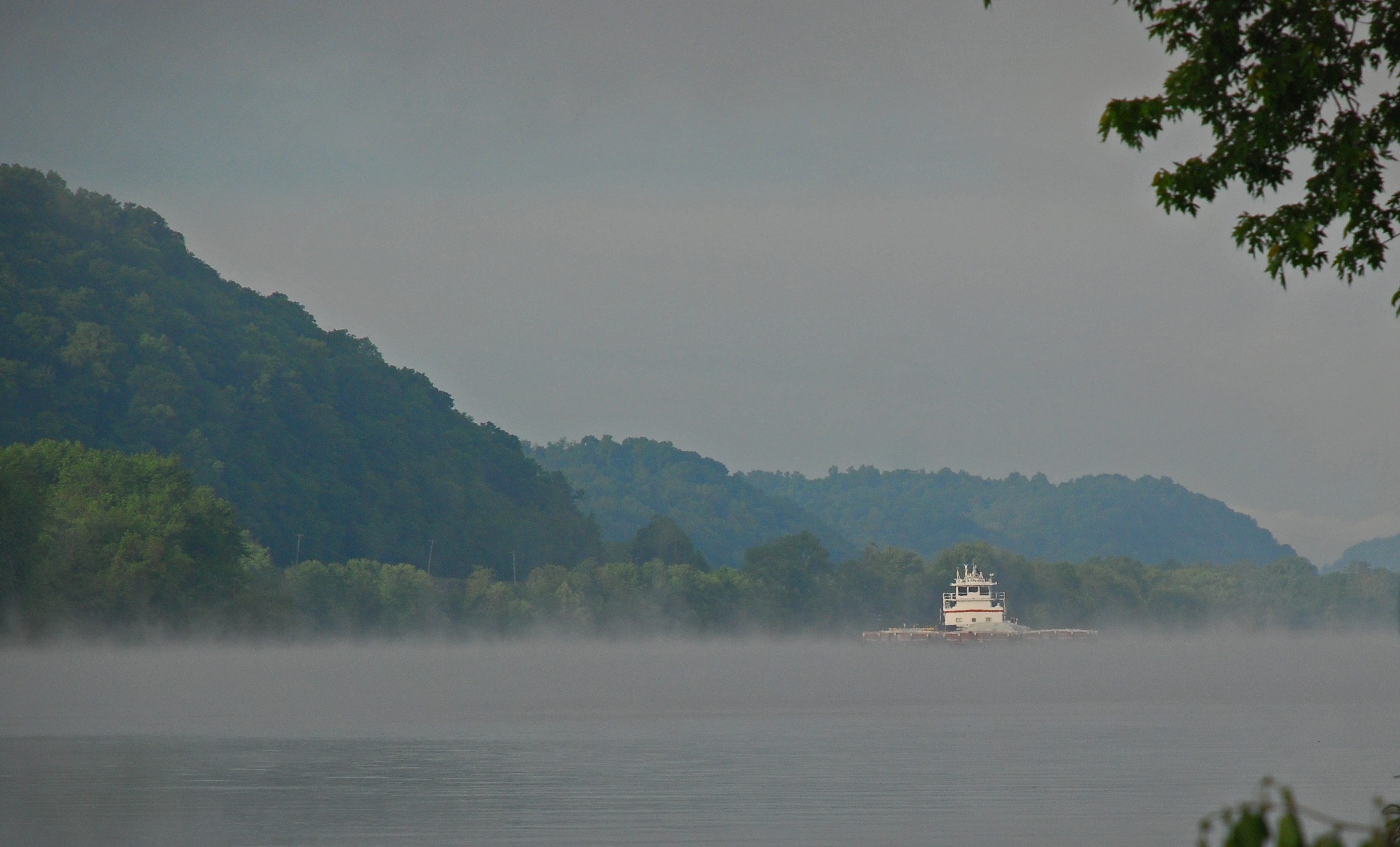
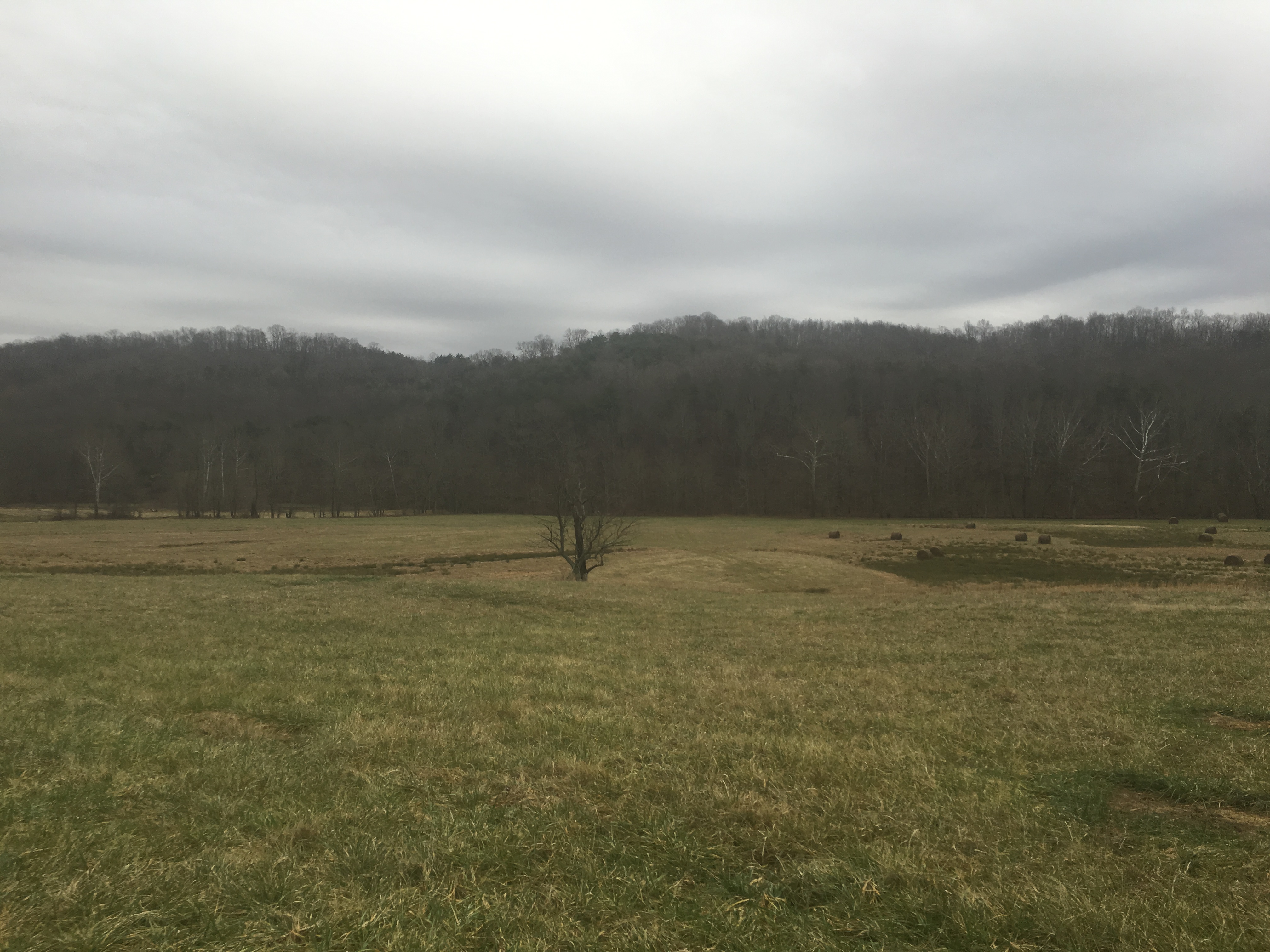
Foggy Fly Sunrise
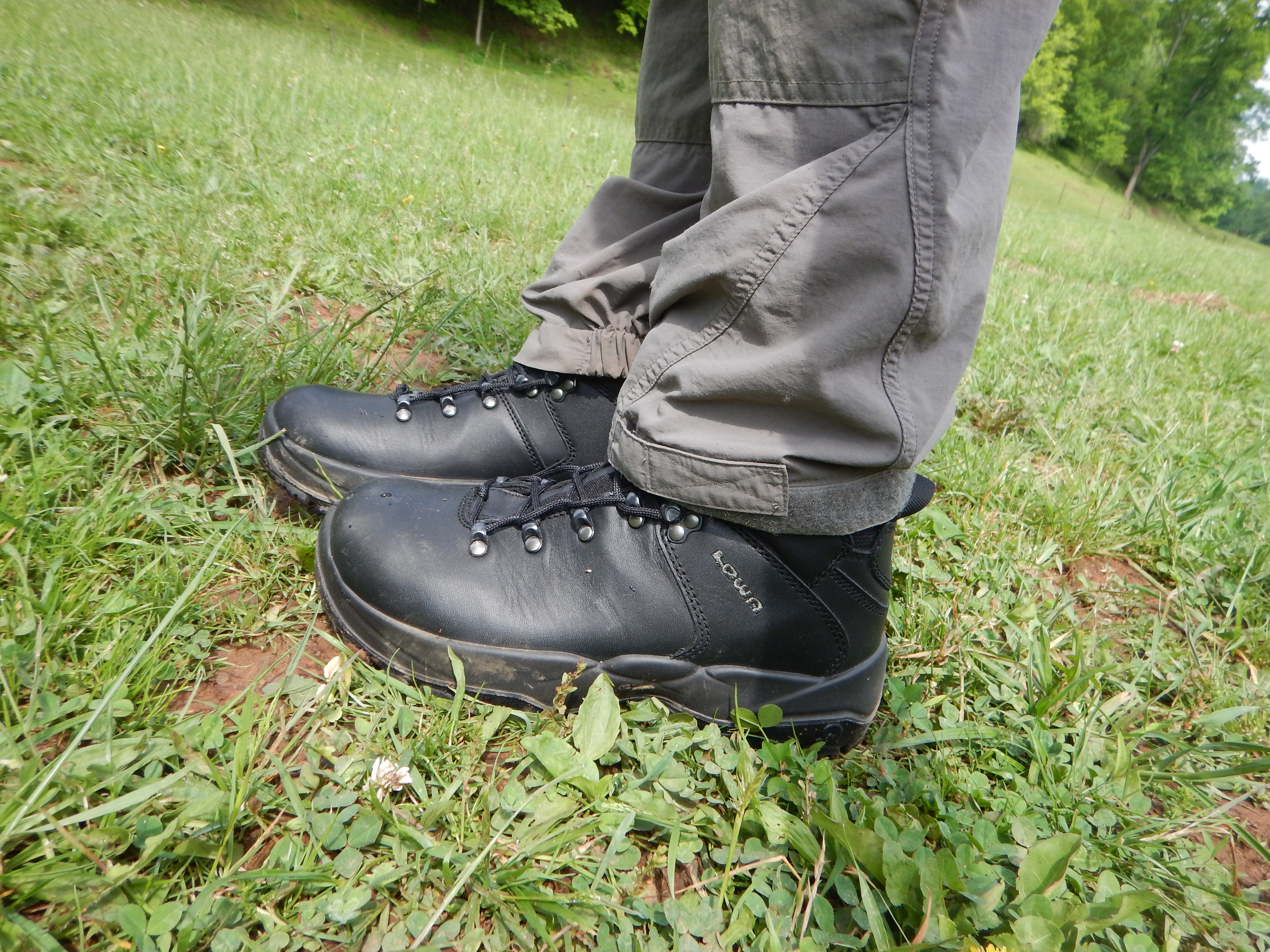
Lowa Leandro, side view.
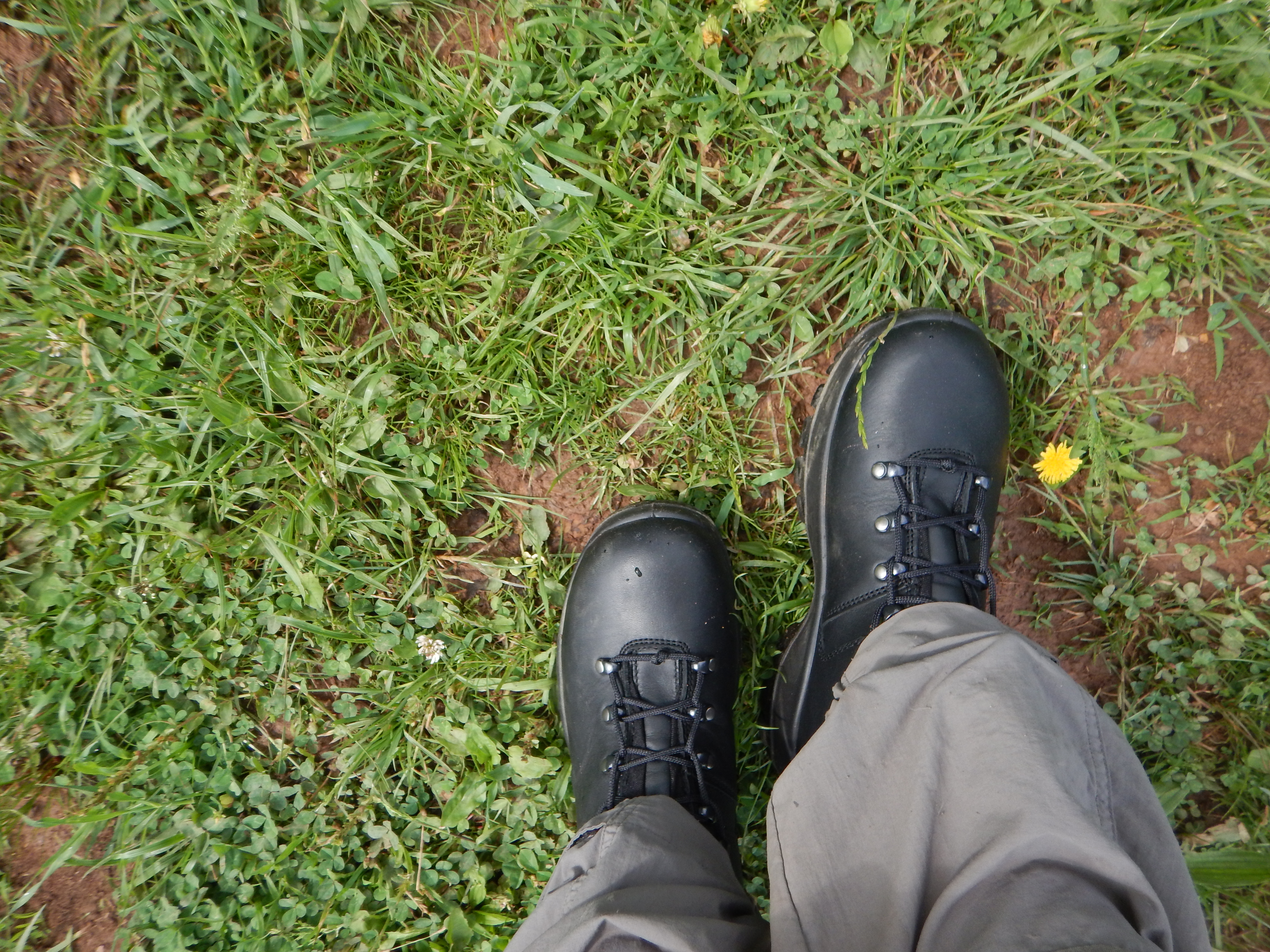
Lowa Leandro, top view.

Cloudy Night.
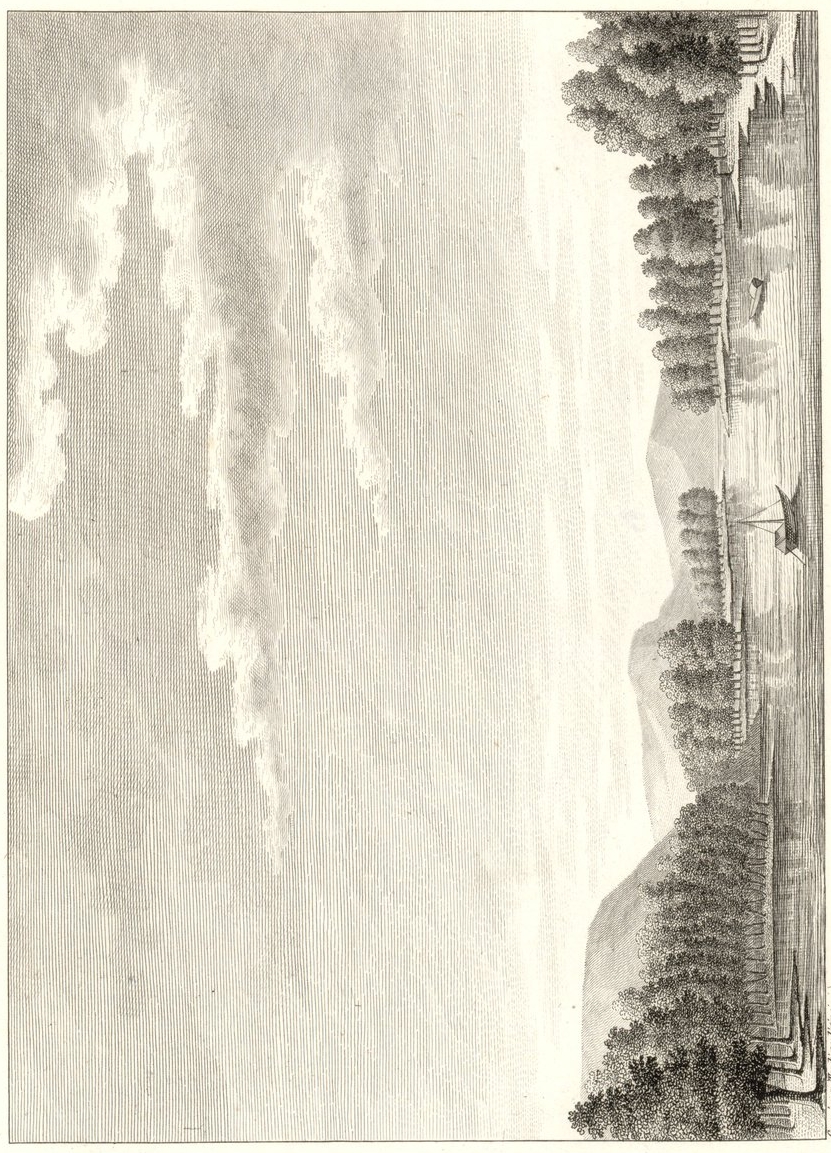
View of Long-Reach
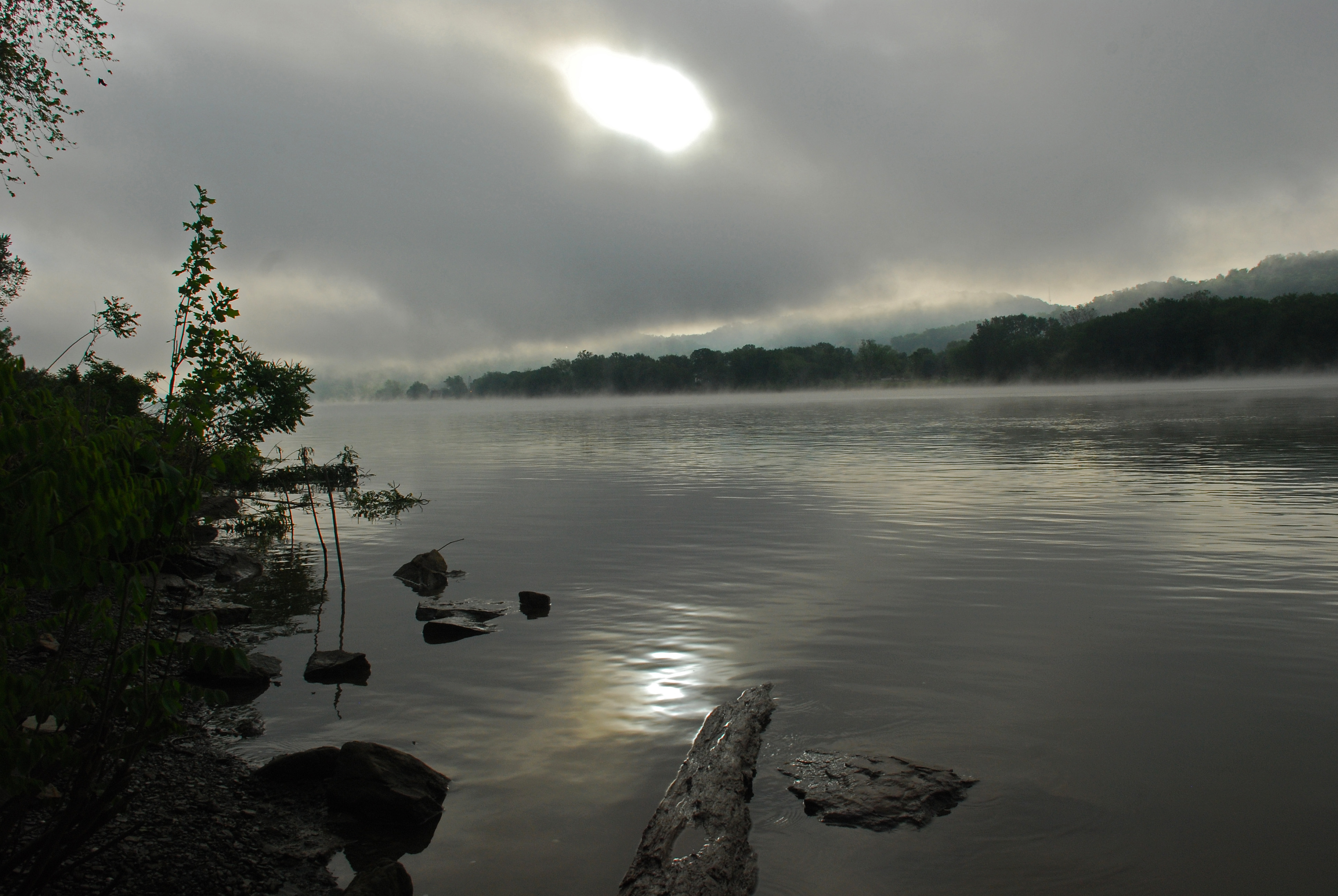
Foggy Fly Sunrise
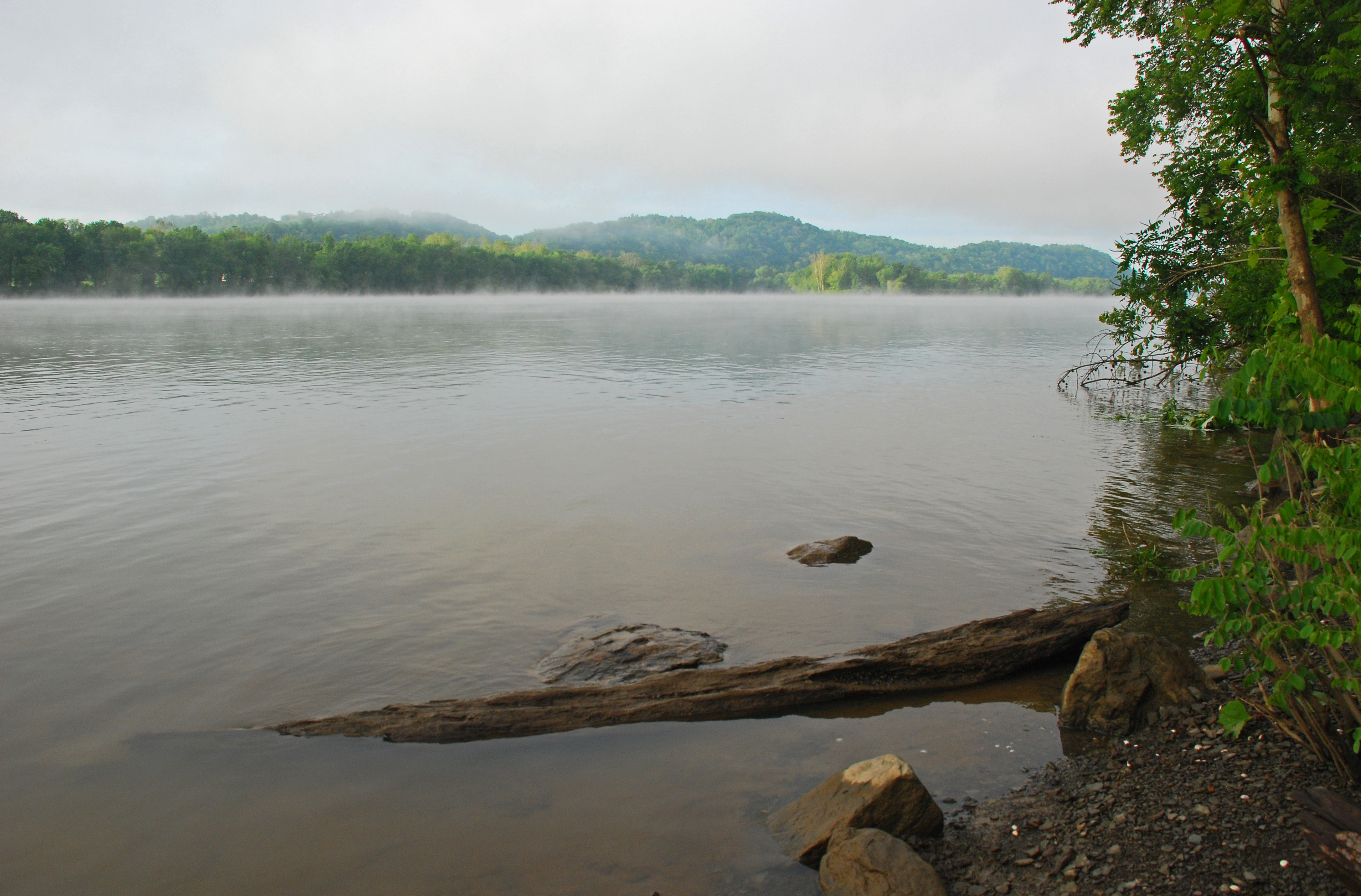
Foggy Fly Sunrise
Foggy Fly Sunrise
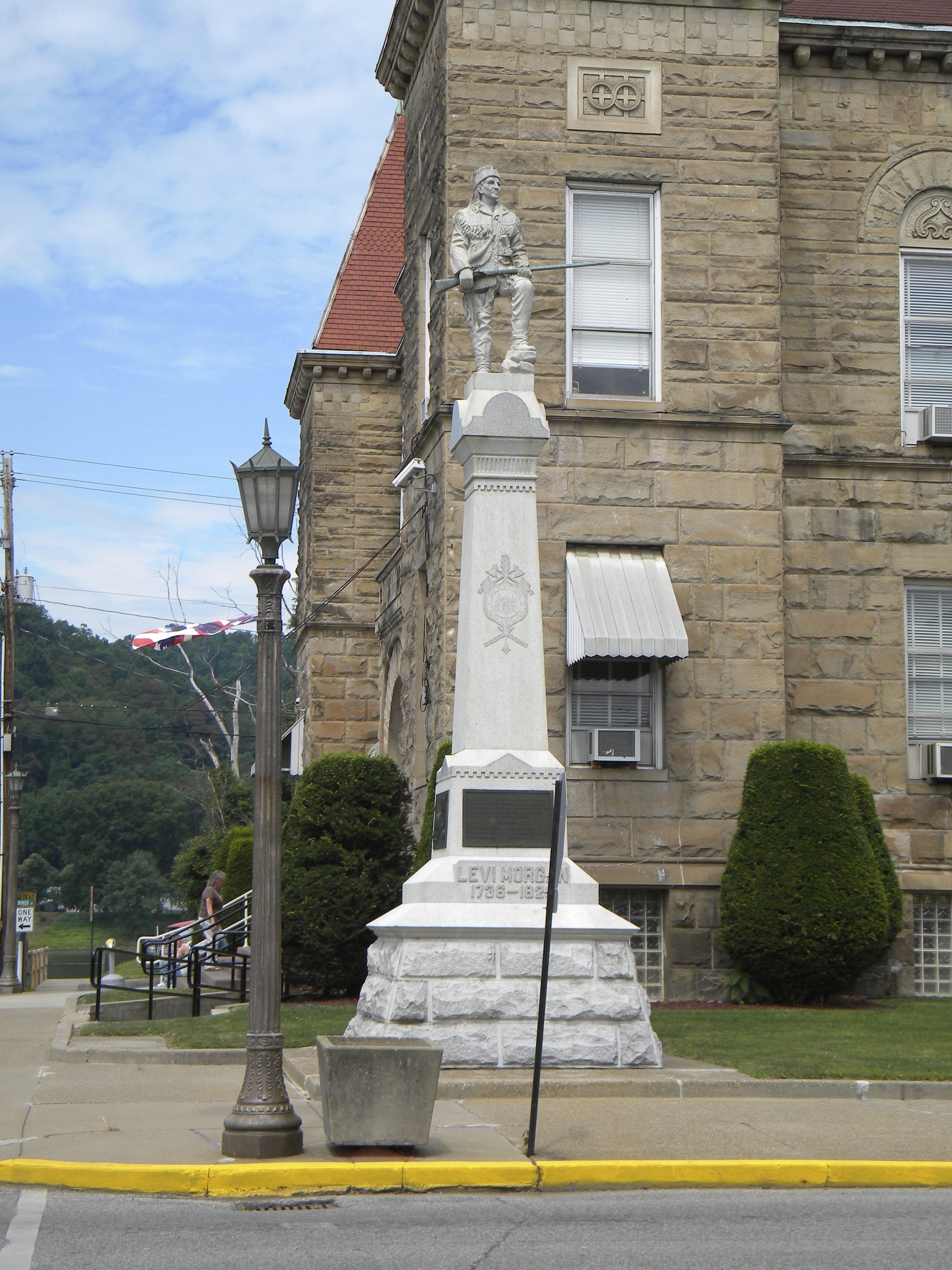
West Virginia: Wetzel: Levi Morgan Statue

Tyler County, West Virginia

The Jug

The Jug
down below the bridge
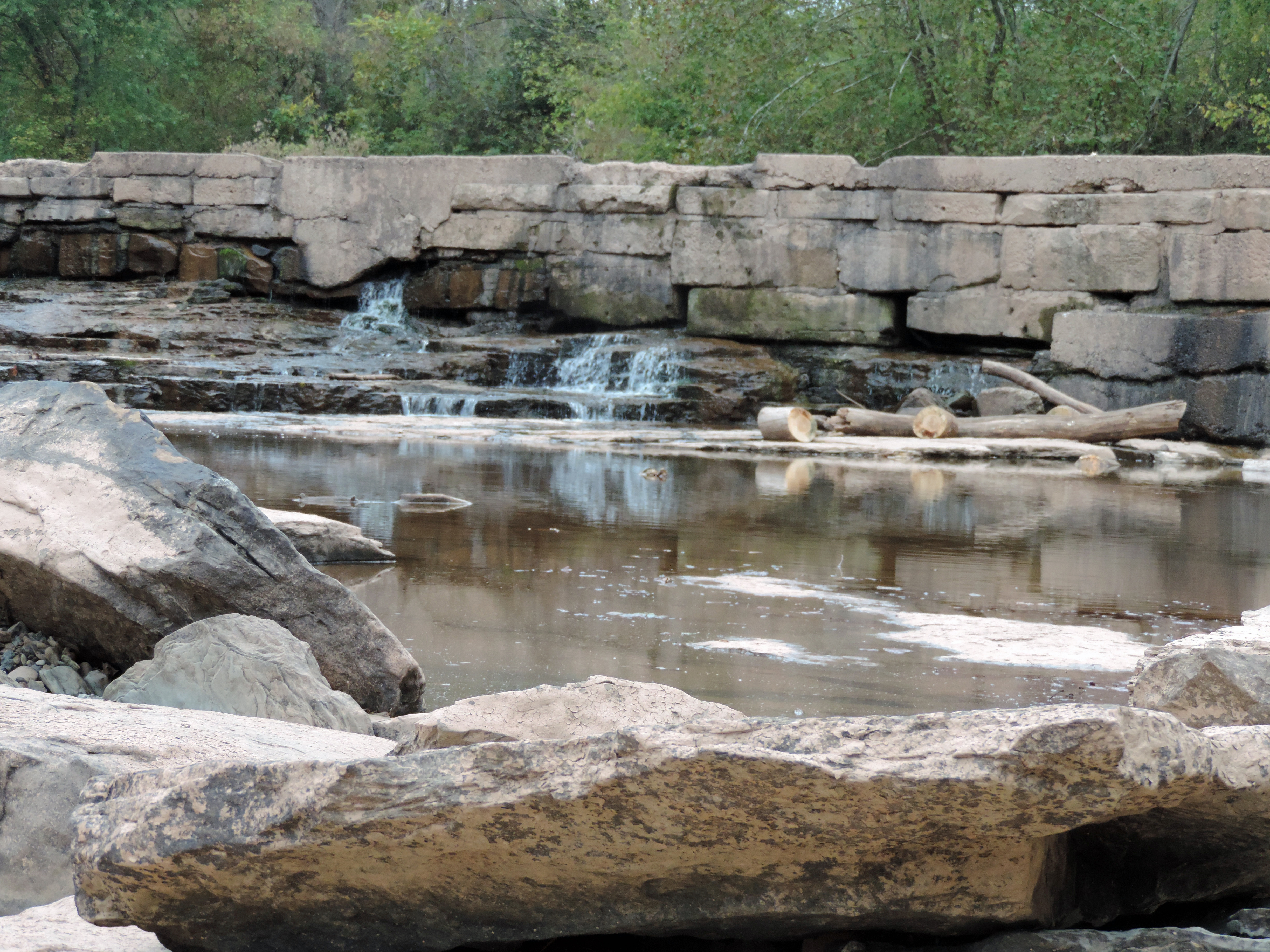
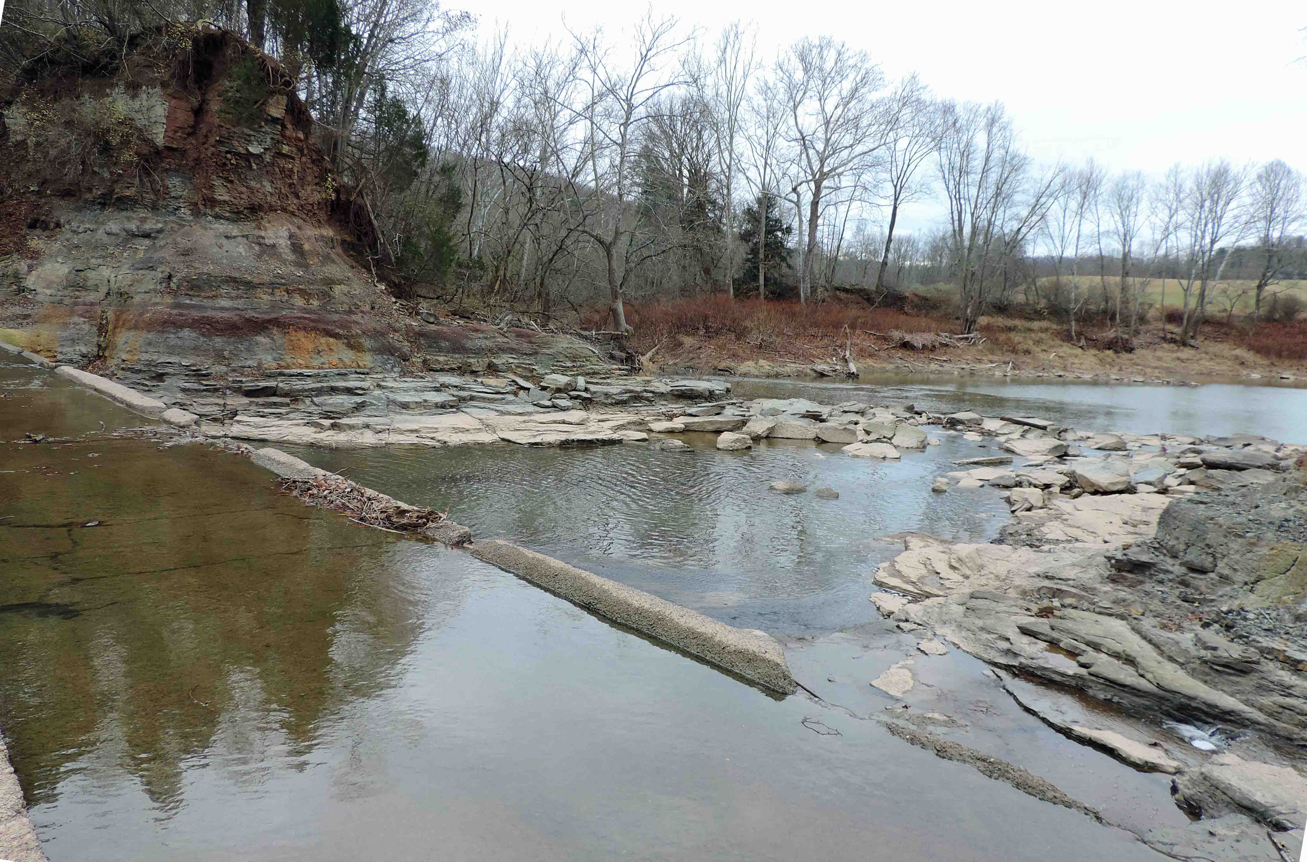
MIddle Island Creek at the Jug
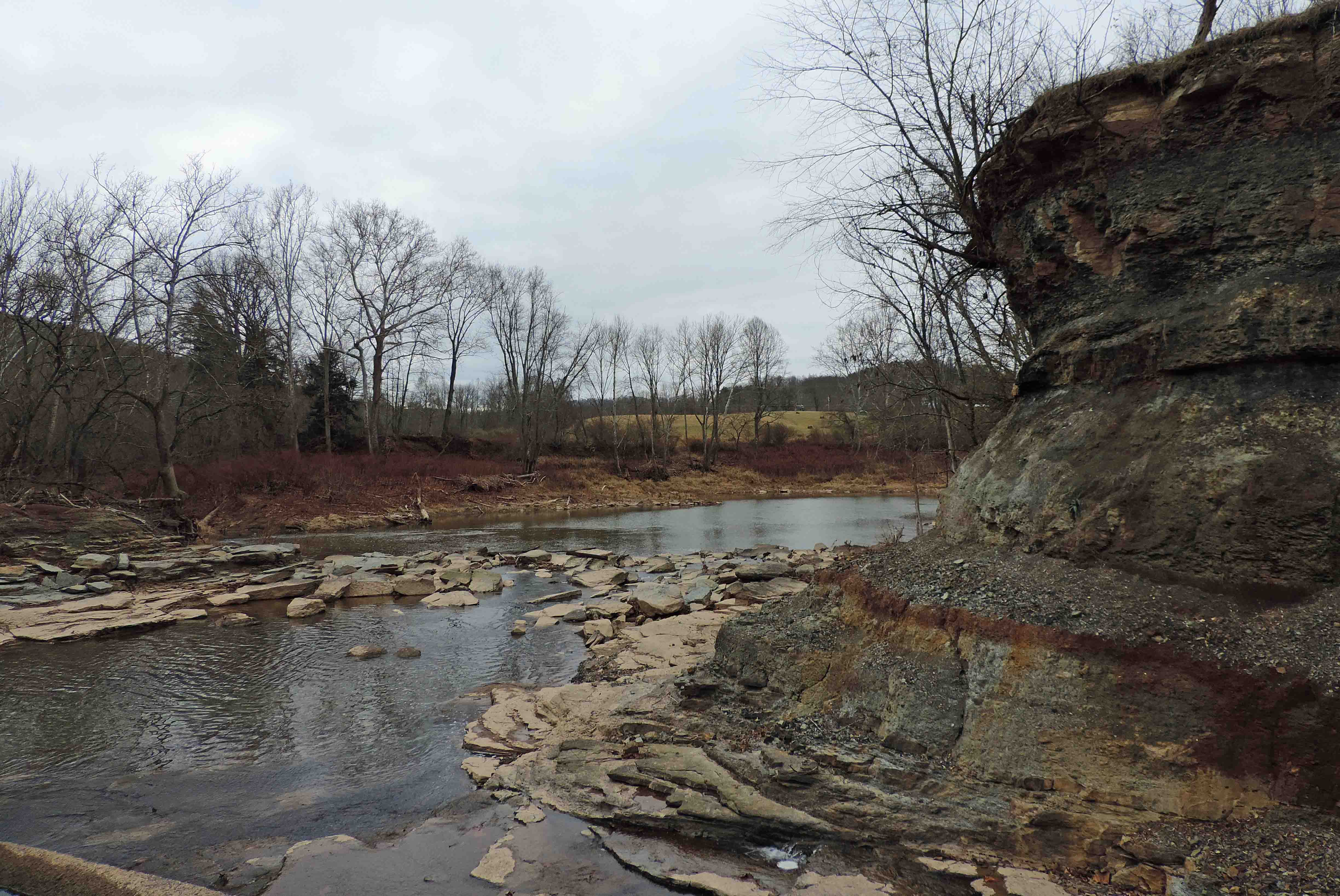
Down Middle Island Creek

Looking Up the Creek
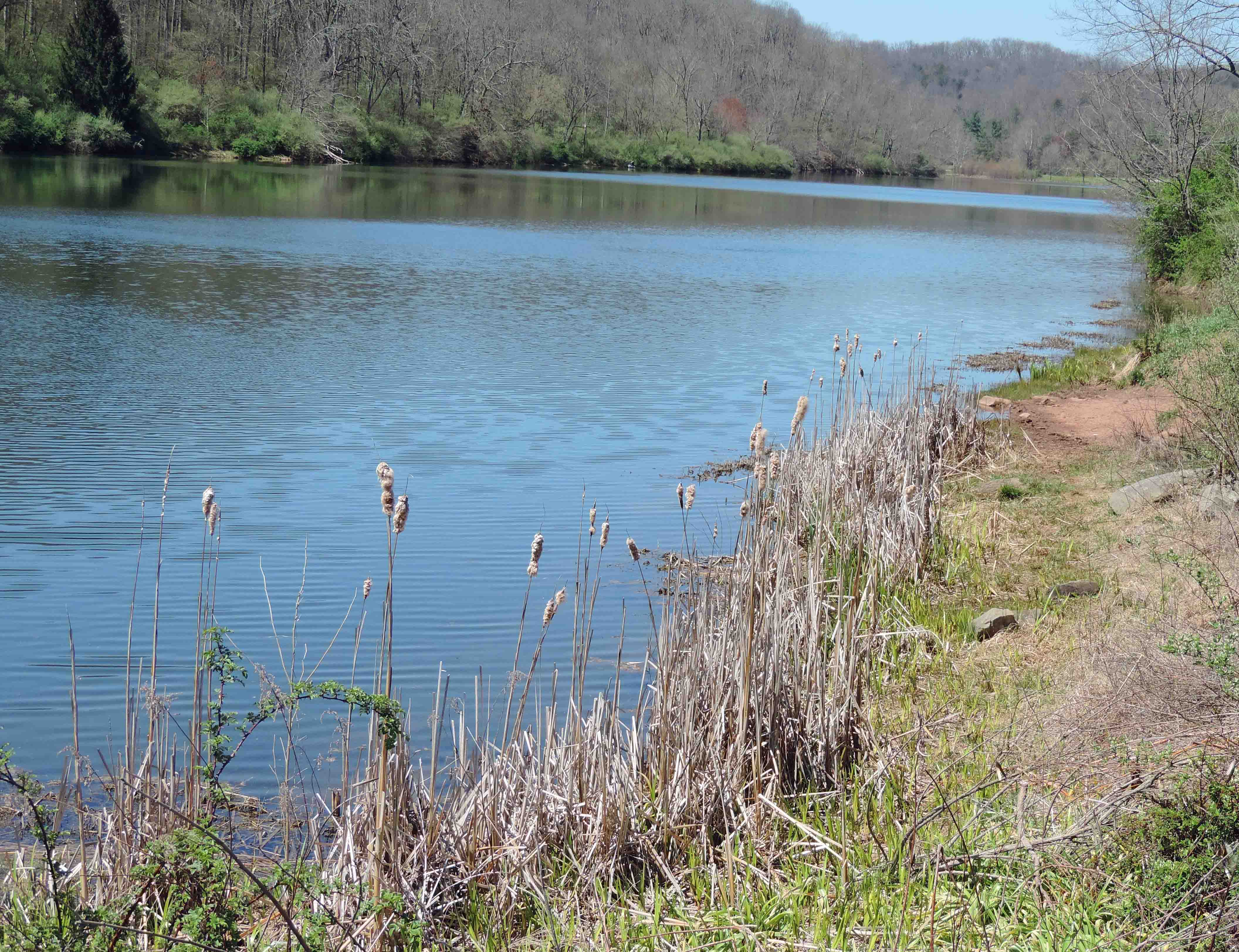
The Lake

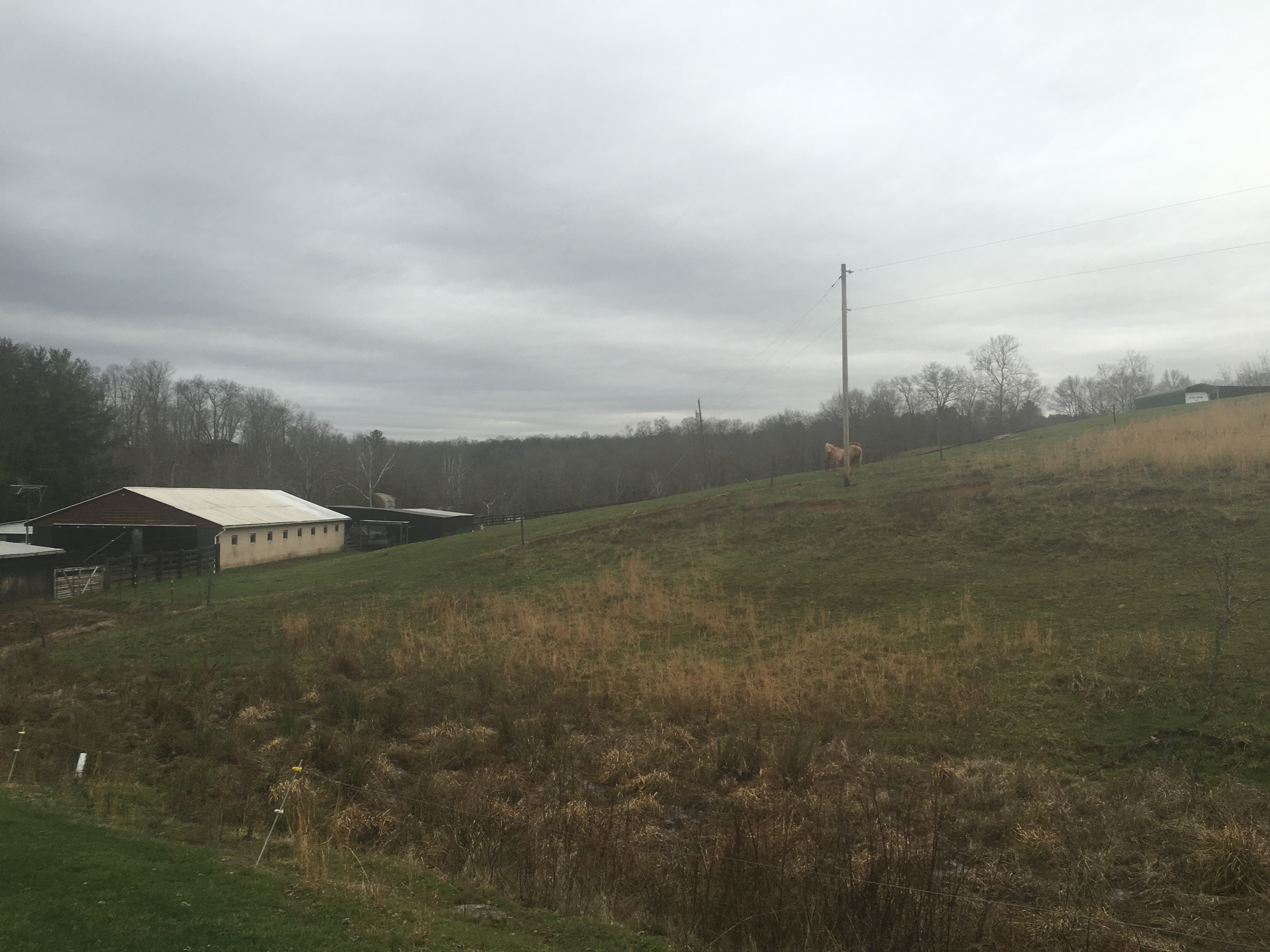
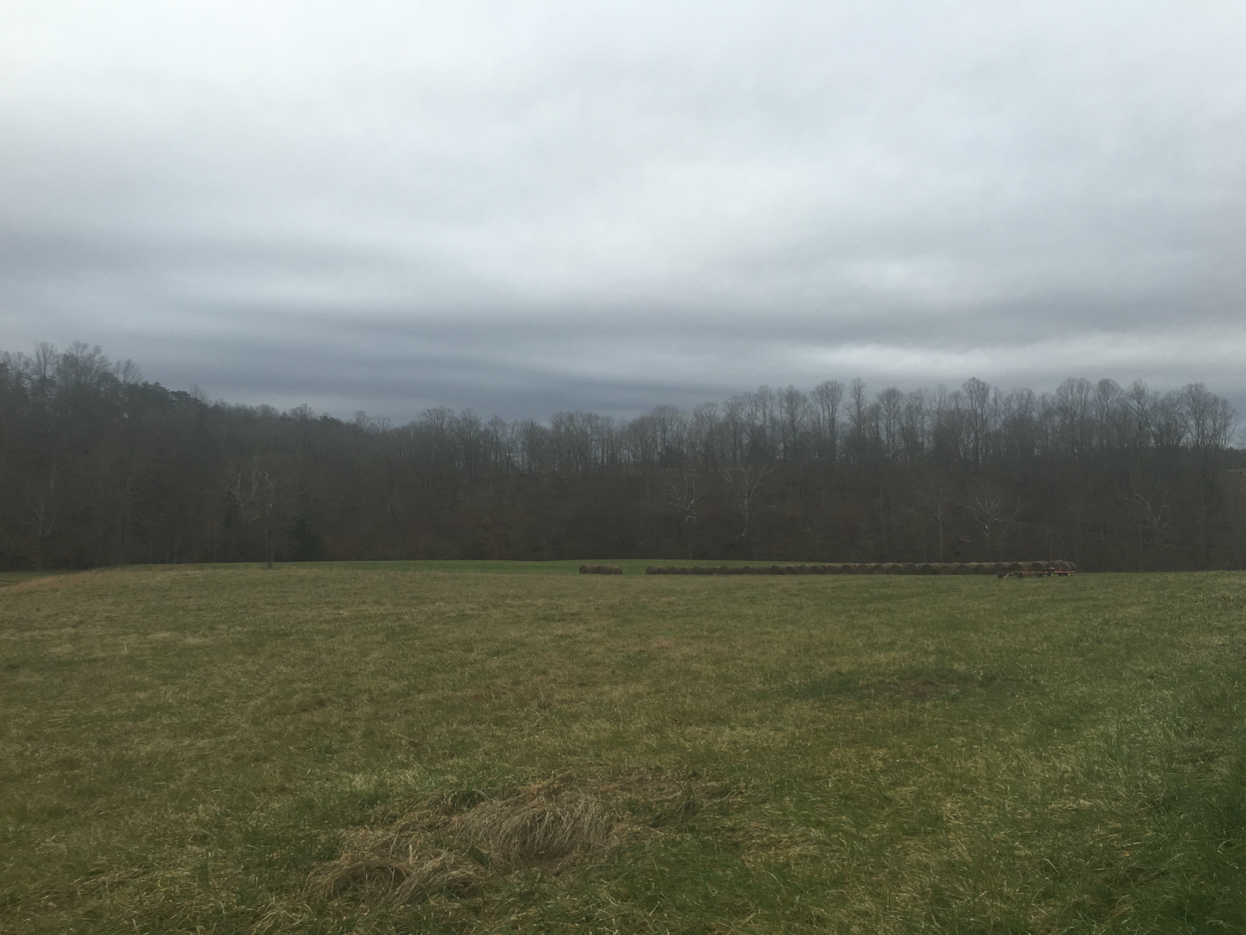
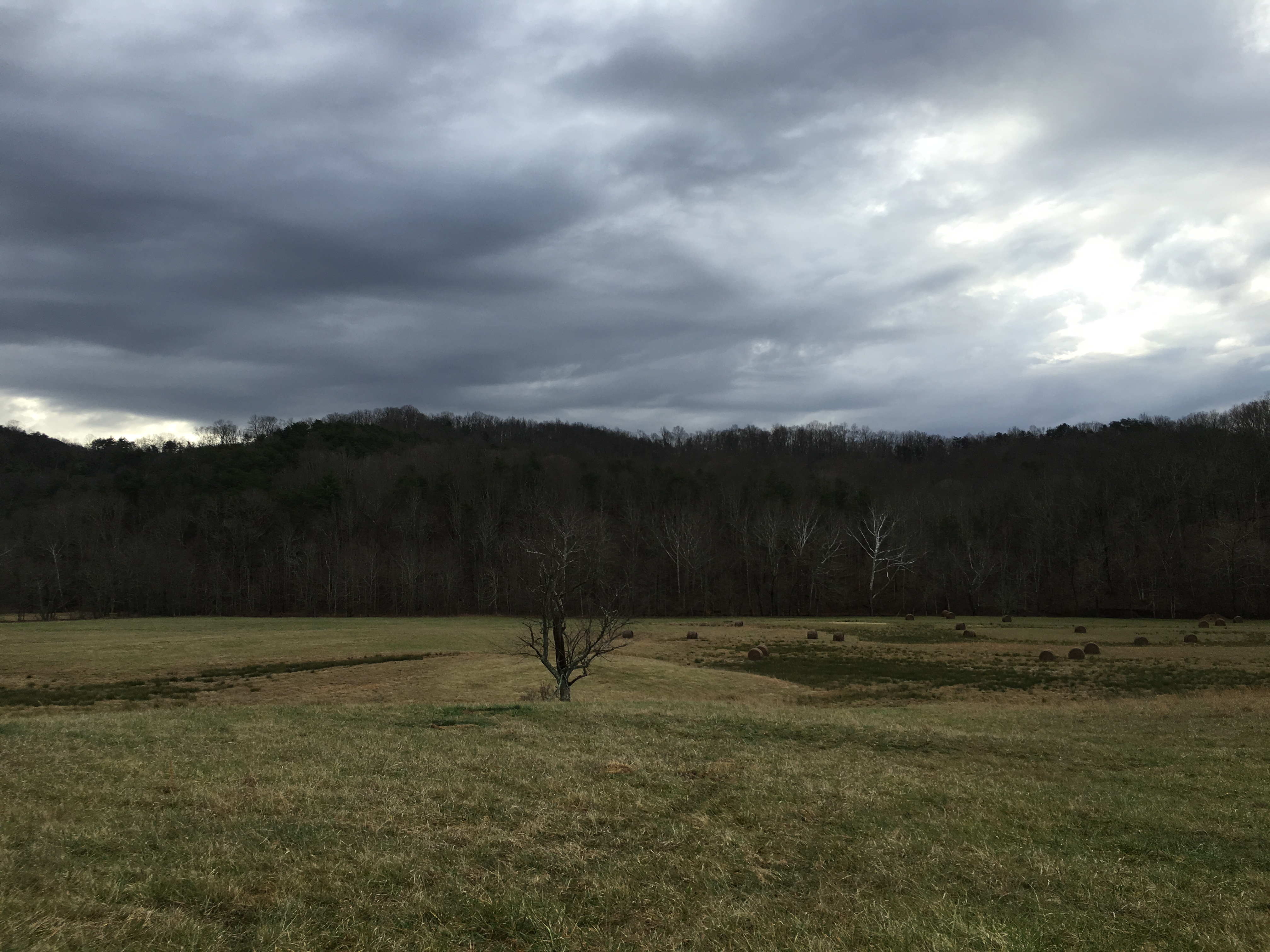
Bales of Hay and Broken Down Barn

Cattails and Fishing

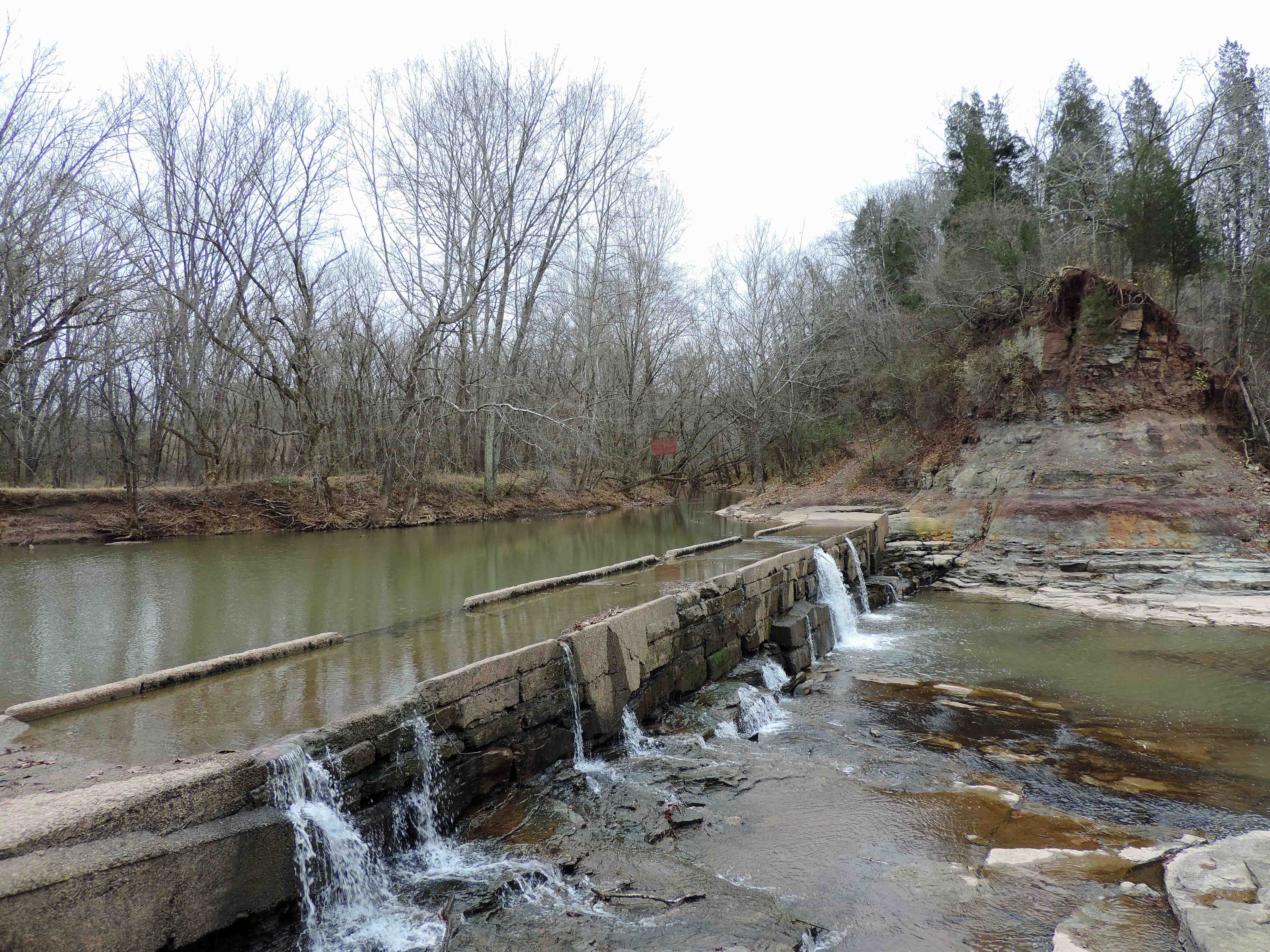
Water Over a Low Water Bridge
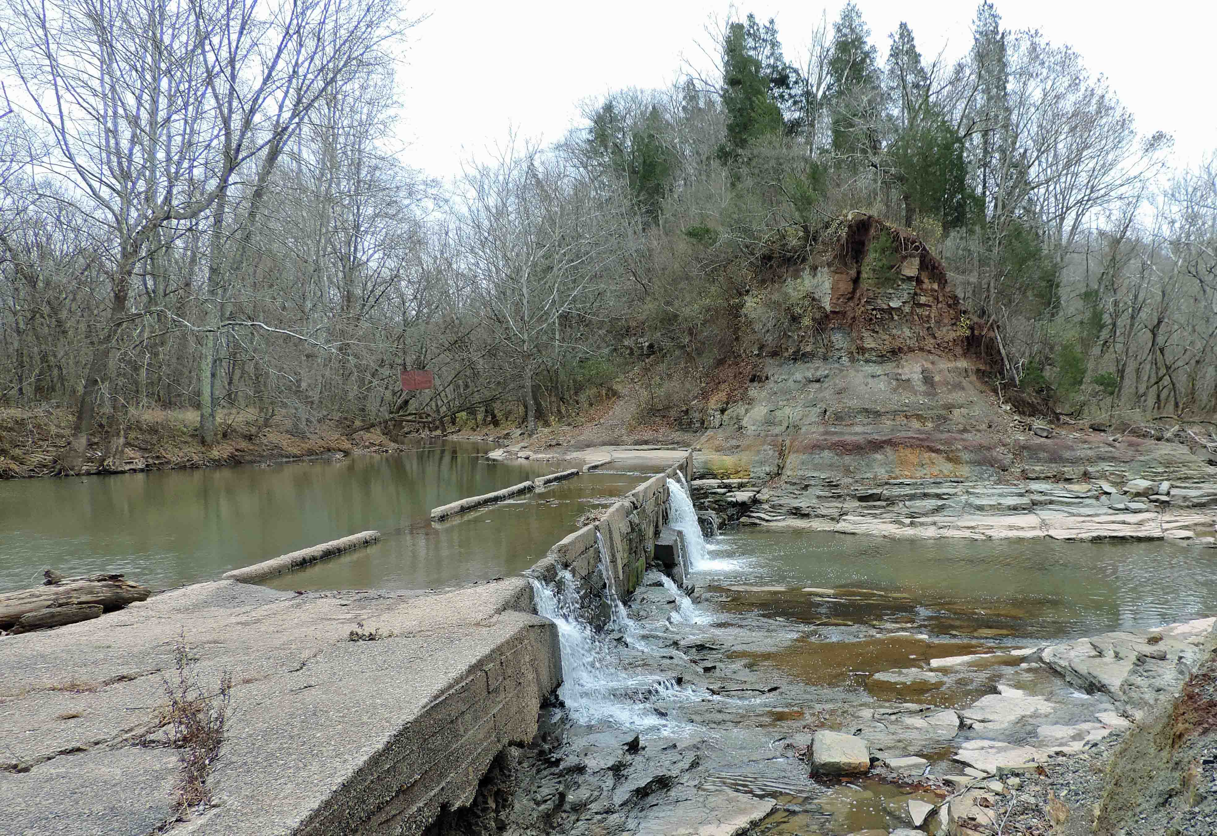
A Low Water Bridge and a Creek
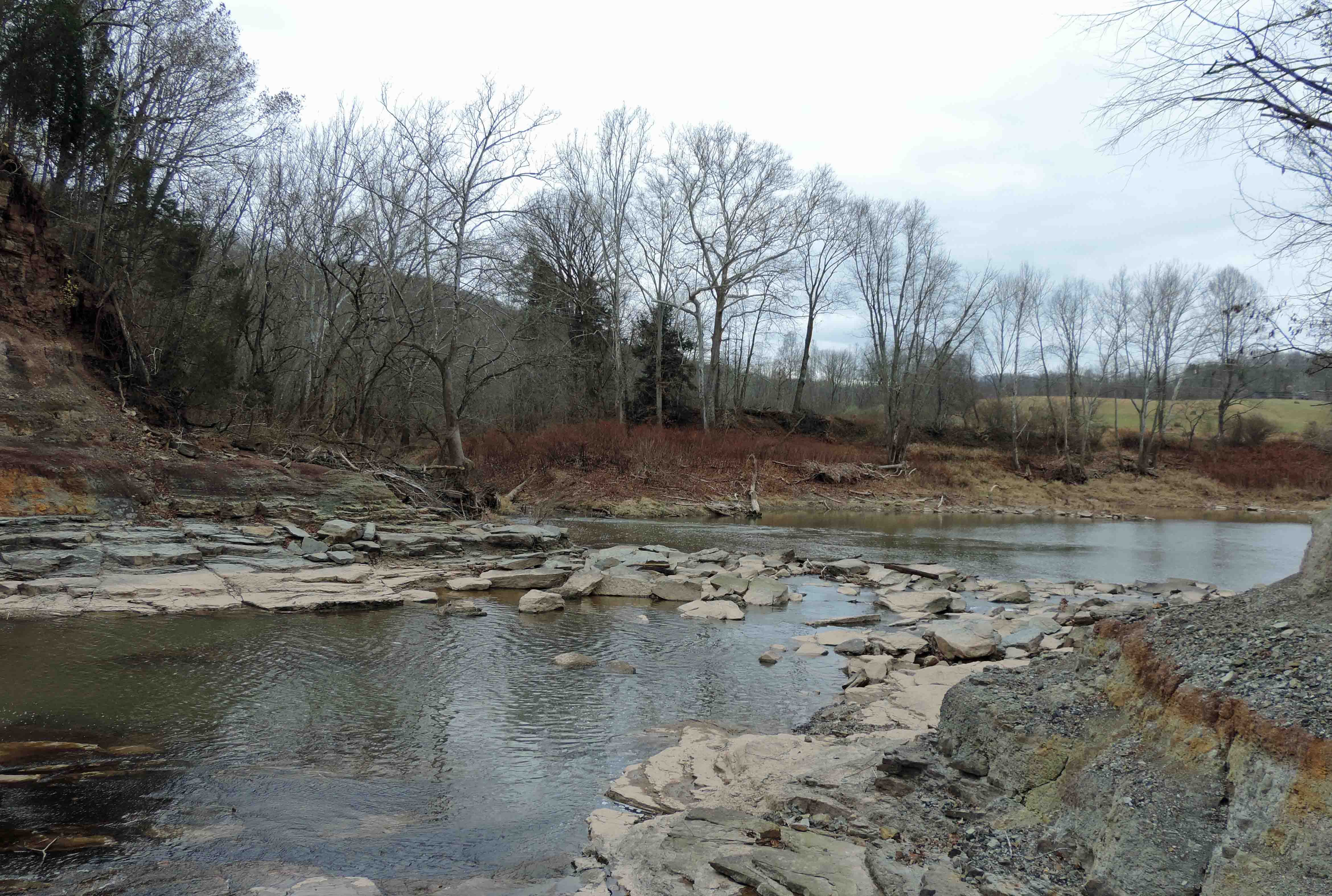
Below the Jug

Across a Lake
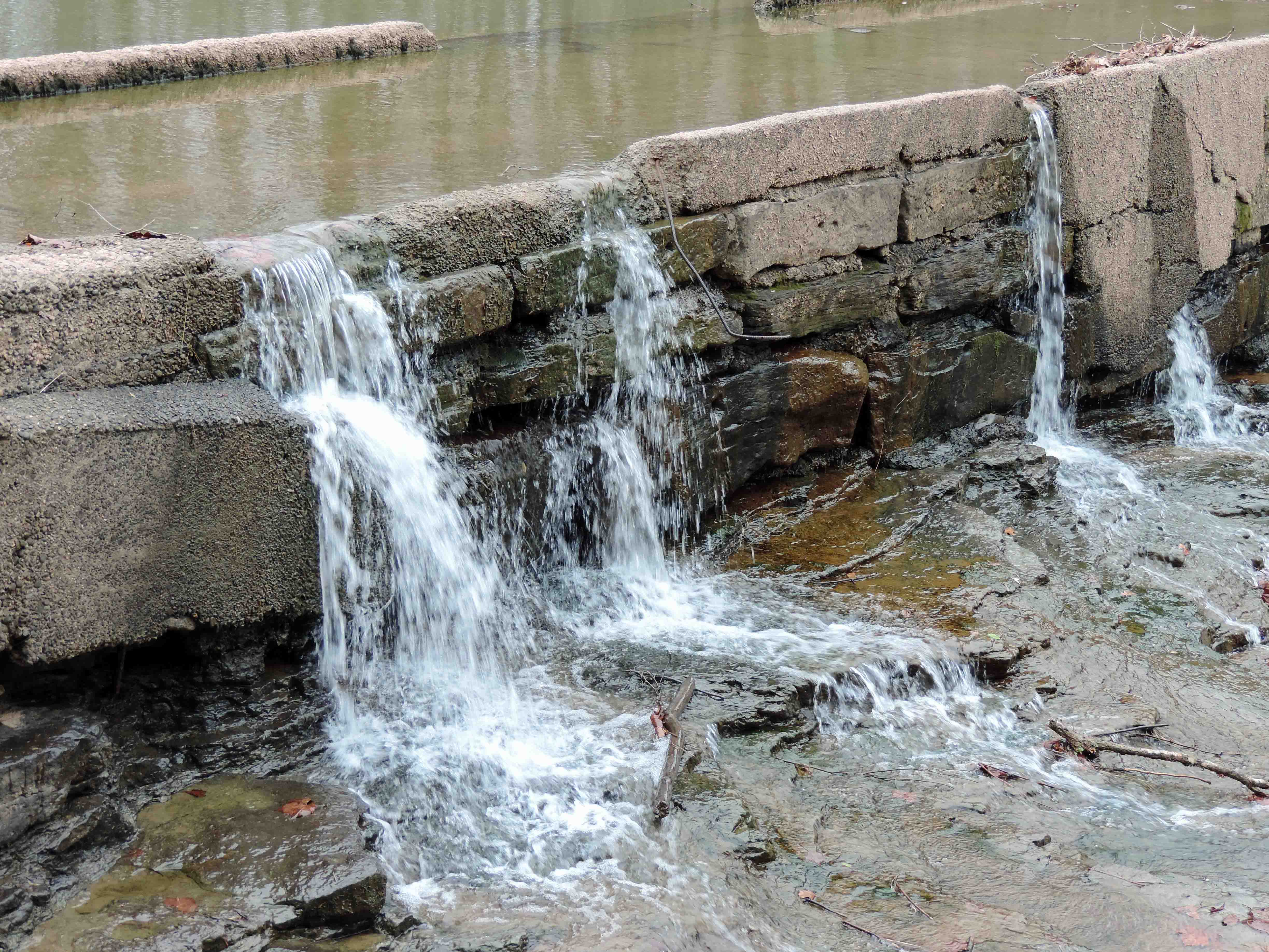
Creek Water Over and Through a Bridge
Low Water Bridge and Pool
2015-12-28 09.56.53
2015-12-28 10.03.36
2015-12-28 09.57.00
2015-12-27 10.52.52
Topographic Map of Tyler County, WV, USA
Find elevation by address:

Places in Tyler County, WV, USA:
Places near Tyler County, WV, USA:
North
Middlebourne
11 Lemasters Rd, Alma, WV, USA
Alma
South
750 Pleasant Ridge Rd
Cider Run Rd, New Martinsville, WV, USA
20 Chiselfinger Ridge Rd, Porters Falls, WV, USA
County Road 44
Porters Falls
6941 Mountaineer Hwy
6475 Mountaineer Hwy
Paden City
West
Reader
Central
Wick
New Martinsville
Sistersville
Piney
Recent Searches:
- Elevation of Corso Fratelli Cairoli, 35, Macerata MC, Italy
- Elevation of Tallevast Rd, Sarasota, FL, USA
- Elevation of 4th St E, Sonoma, CA, USA
- Elevation of Black Hollow Rd, Pennsdale, PA, USA
- Elevation of Oakland Ave, Williamsport, PA, USA
- Elevation of Pedrógão Grande, Portugal
- Elevation of Klee Dr, Martinsburg, WV, USA
- Elevation of Via Roma, Pieranica CR, Italy
- Elevation of Tavkvetili Mountain, Georgia
- Elevation of Hartfords Bluff Cir, Mt Pleasant, SC, USA