Elevation of Porters Falls, WV, USA
Location: United States > West Virginia > Wetzel County > >
Longitude: -80.776210
Latitude: 39.5798013
Elevation: 209m / 686feet
Barometric Pressure: 99KPa
Elevation Map:
Satellite Map:
Related Photos:
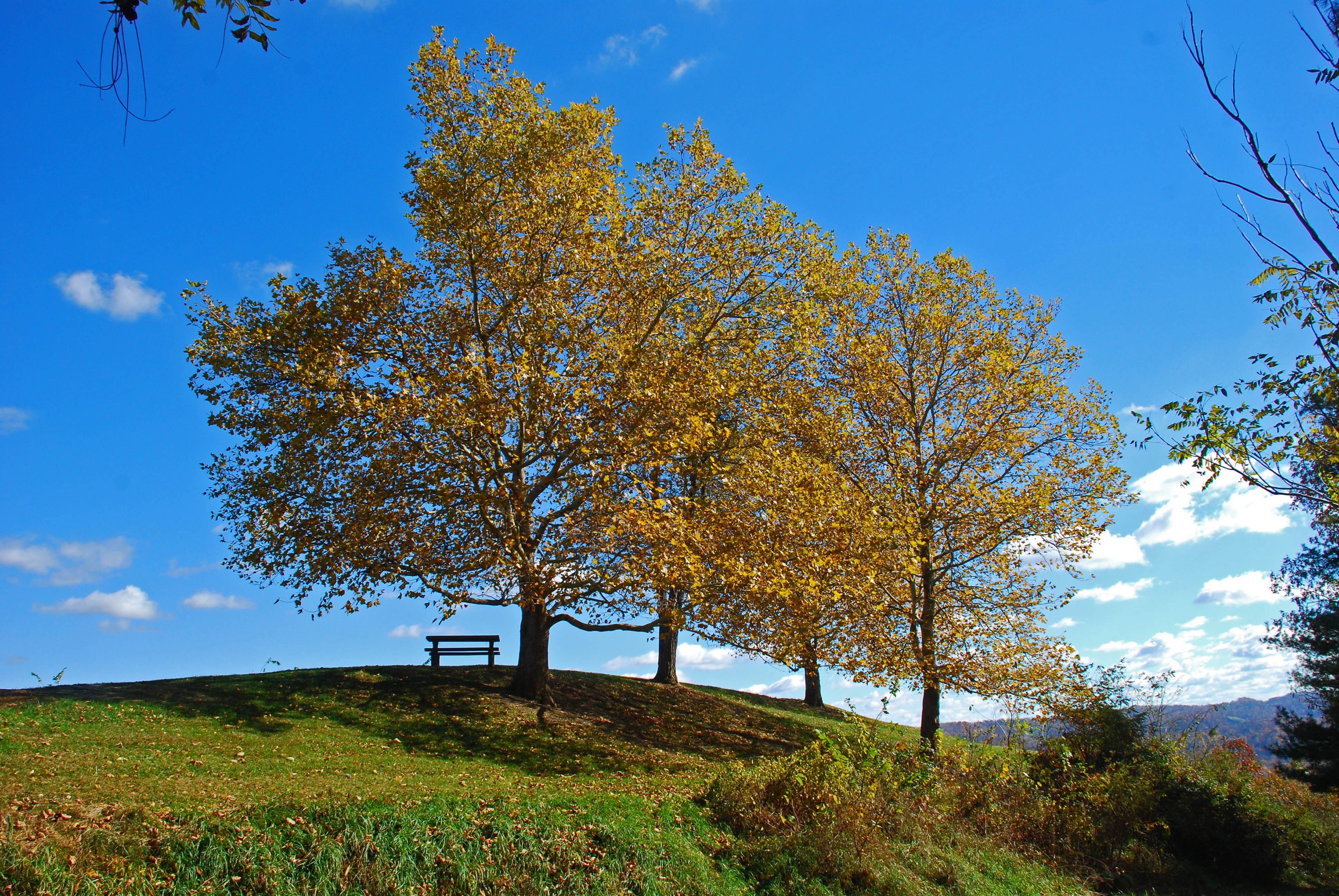
Table With a View

Cloudy Night.
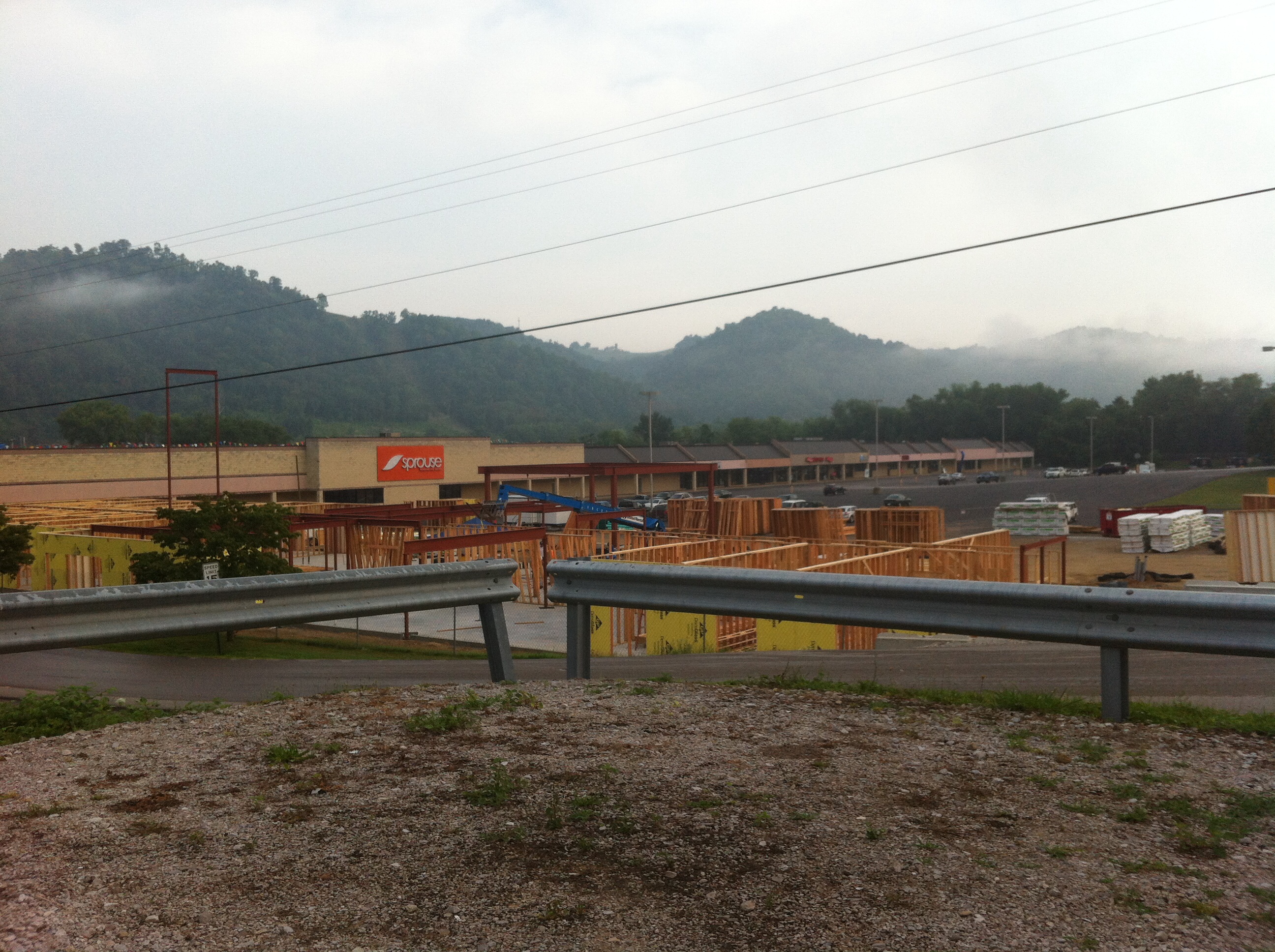
Future hotel at River View plaza New Martinsville, WV
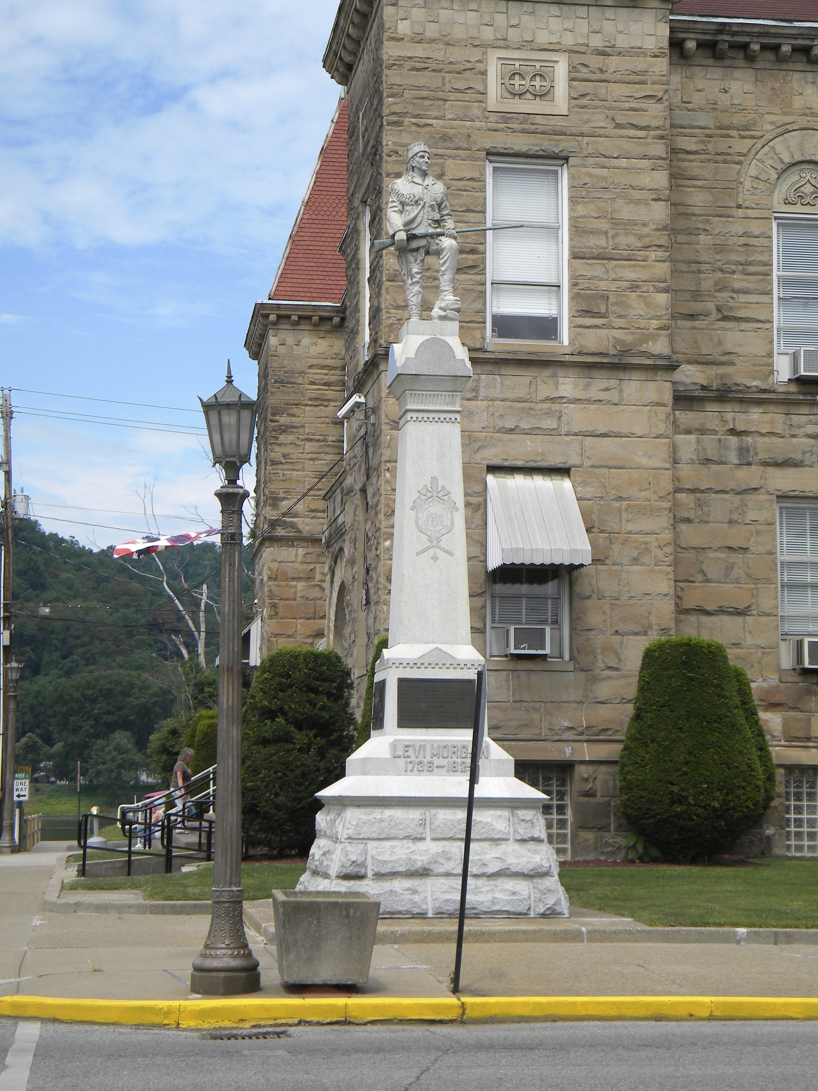
West Virginia: Wetzel: Levi Morgan Statue
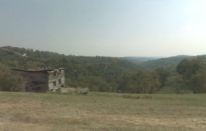
Abandoned Log House Sardis, OH
View From a Bank
Ohio Valley_20140803_130002_
Ohio Valley_20140803_130219_
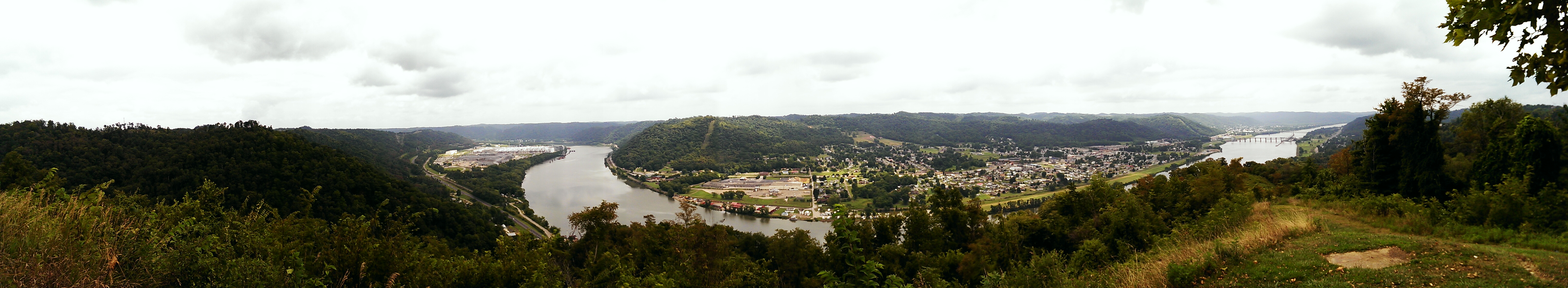
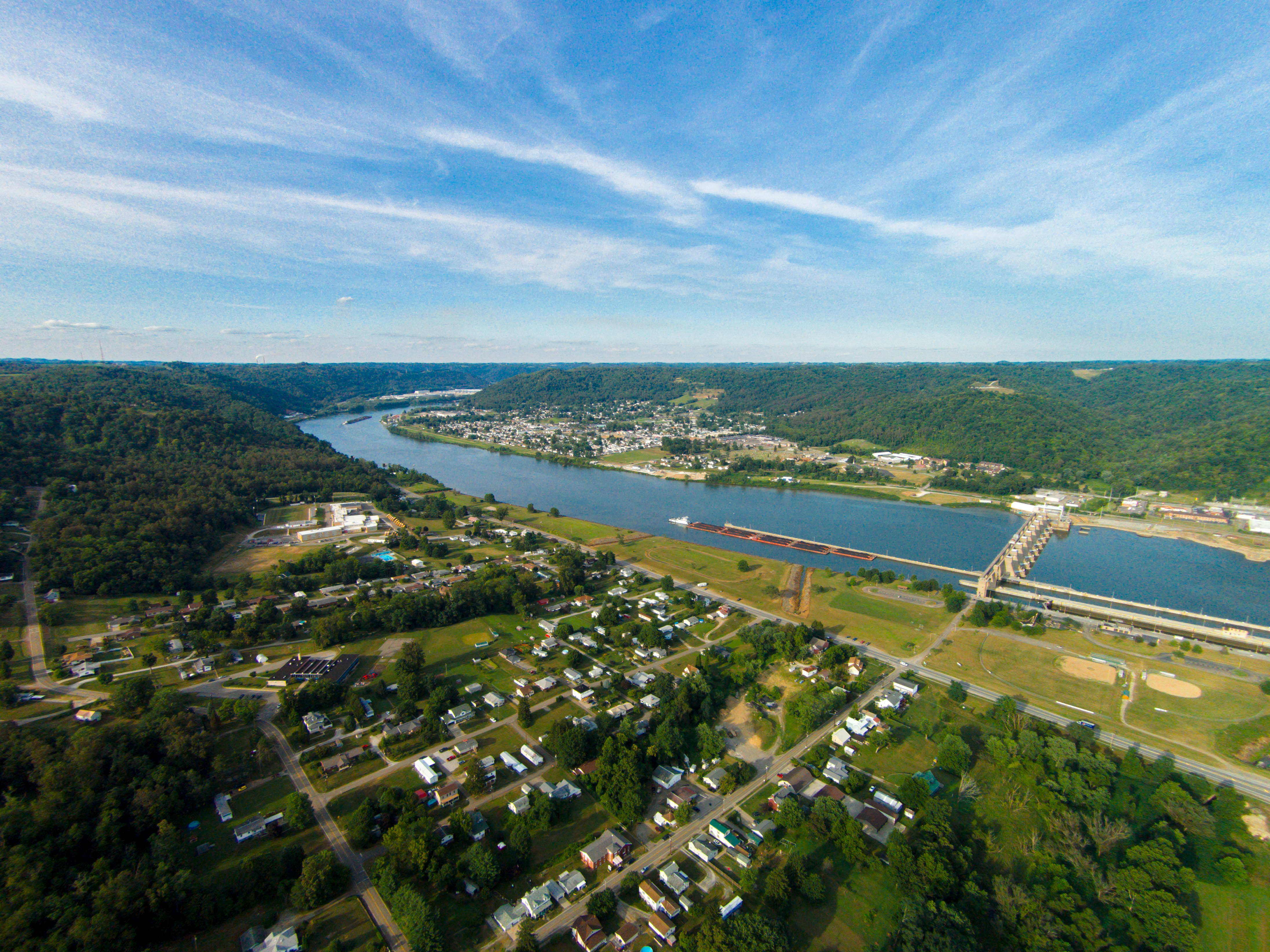
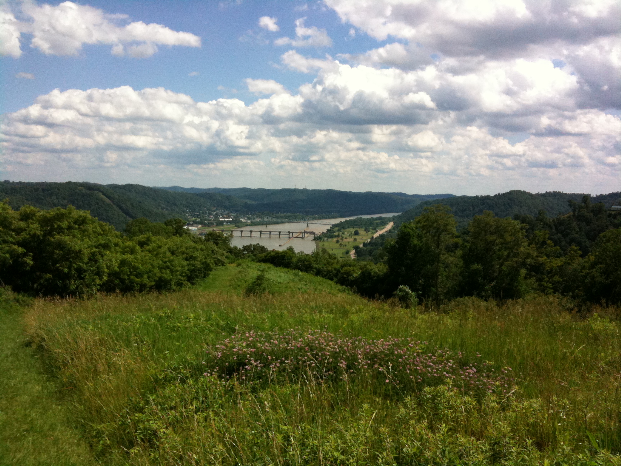
Ohio River Valley from Monroe County, Ohio

Ohio Valley_20140803_130103_

Ohio Valley_20140803_130539_

Tyler County, West Virginia
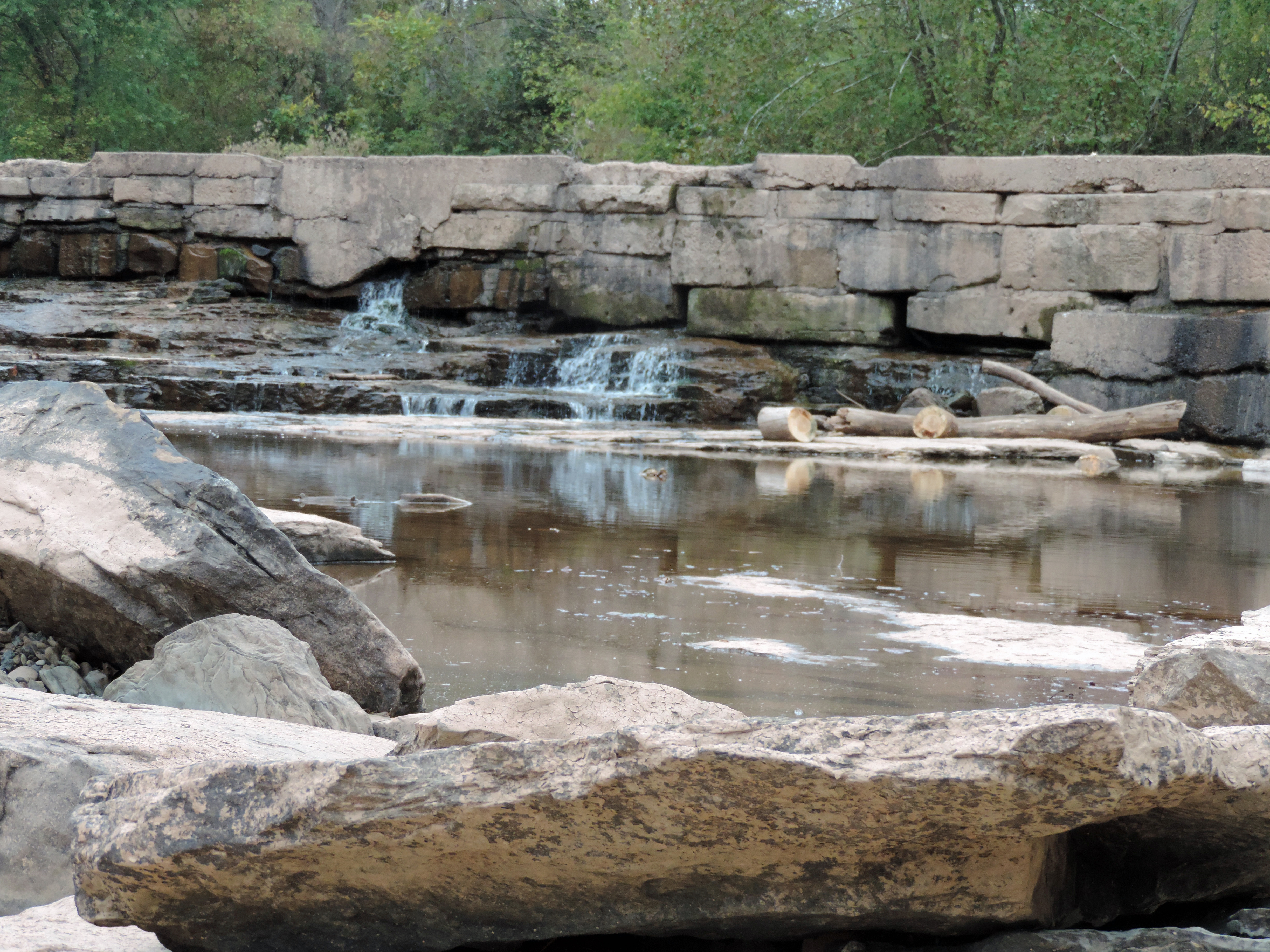
The Jug

The Jug
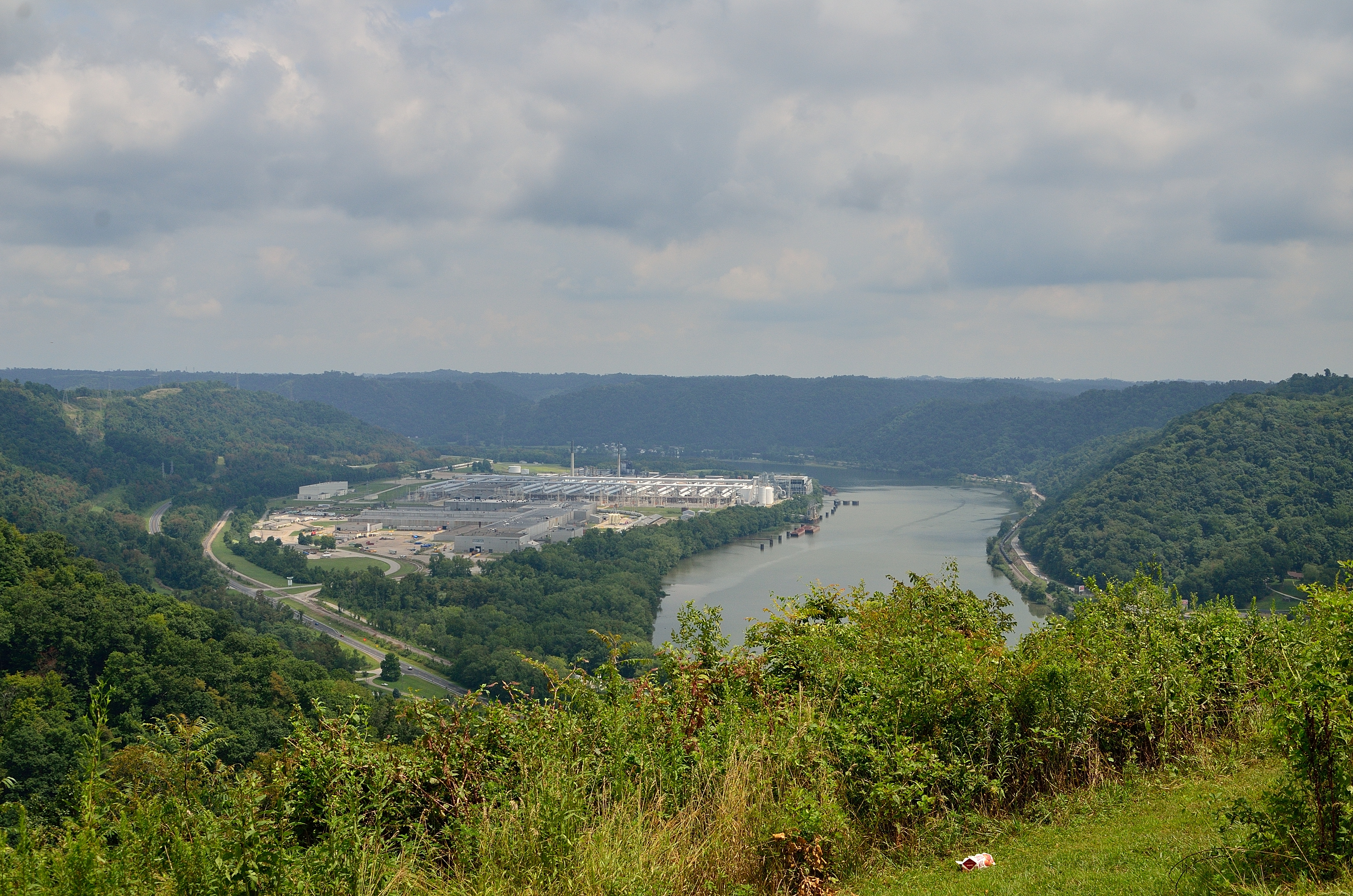
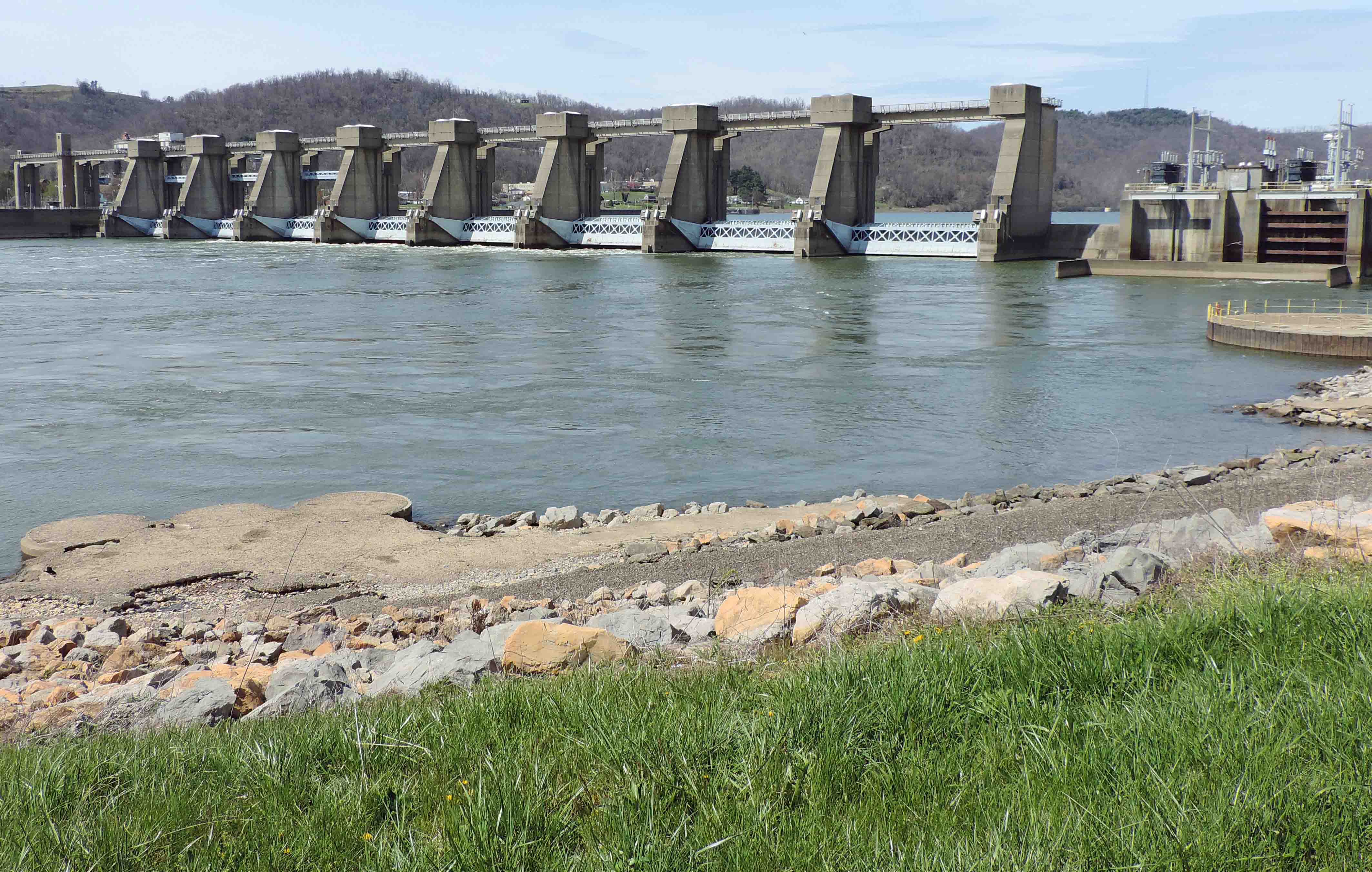
Ohio River and Hannibal Locks and Dam
down below the bridge
Dam on the Ohio
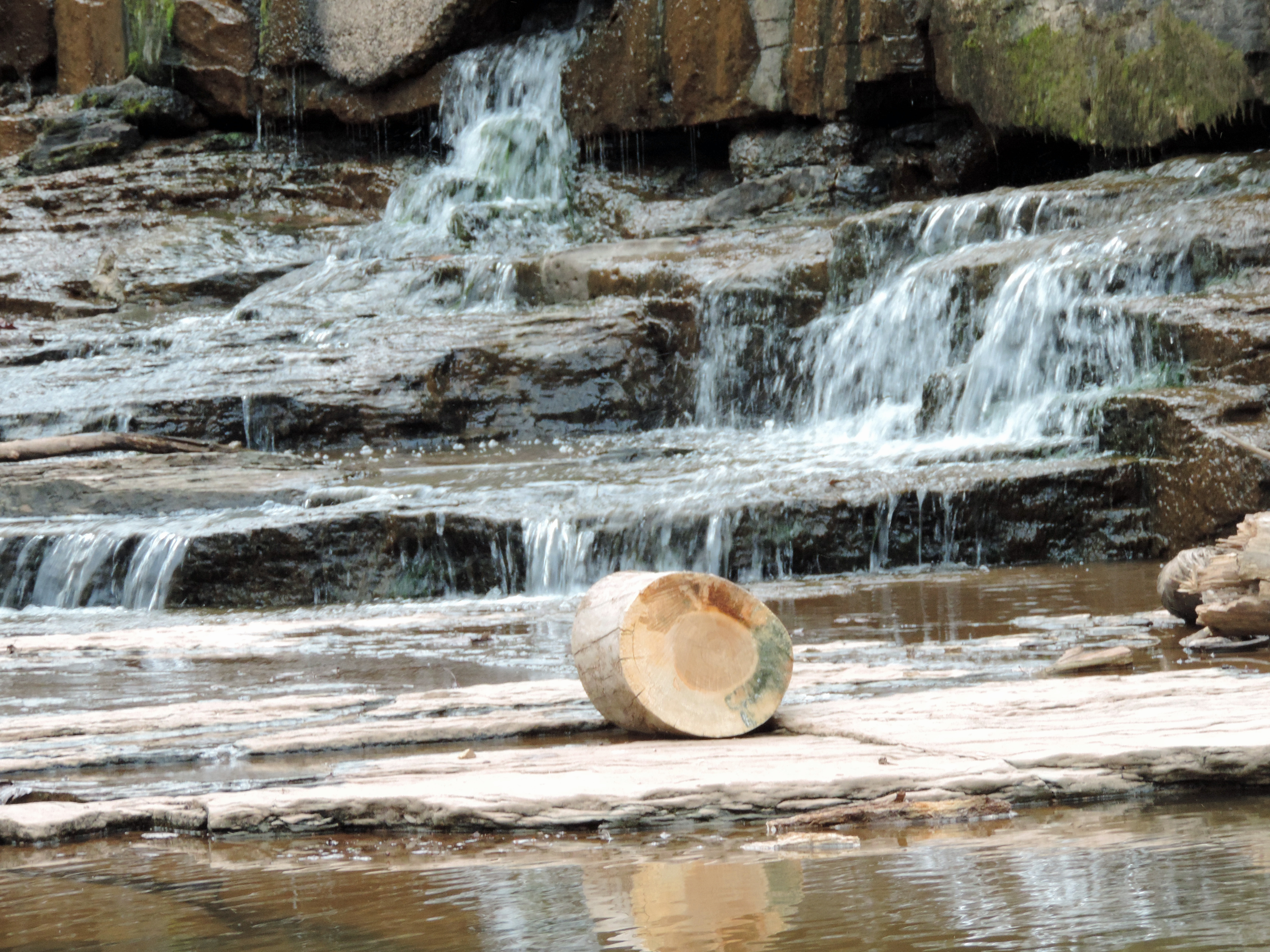
MIddle Island Creek at the Jug
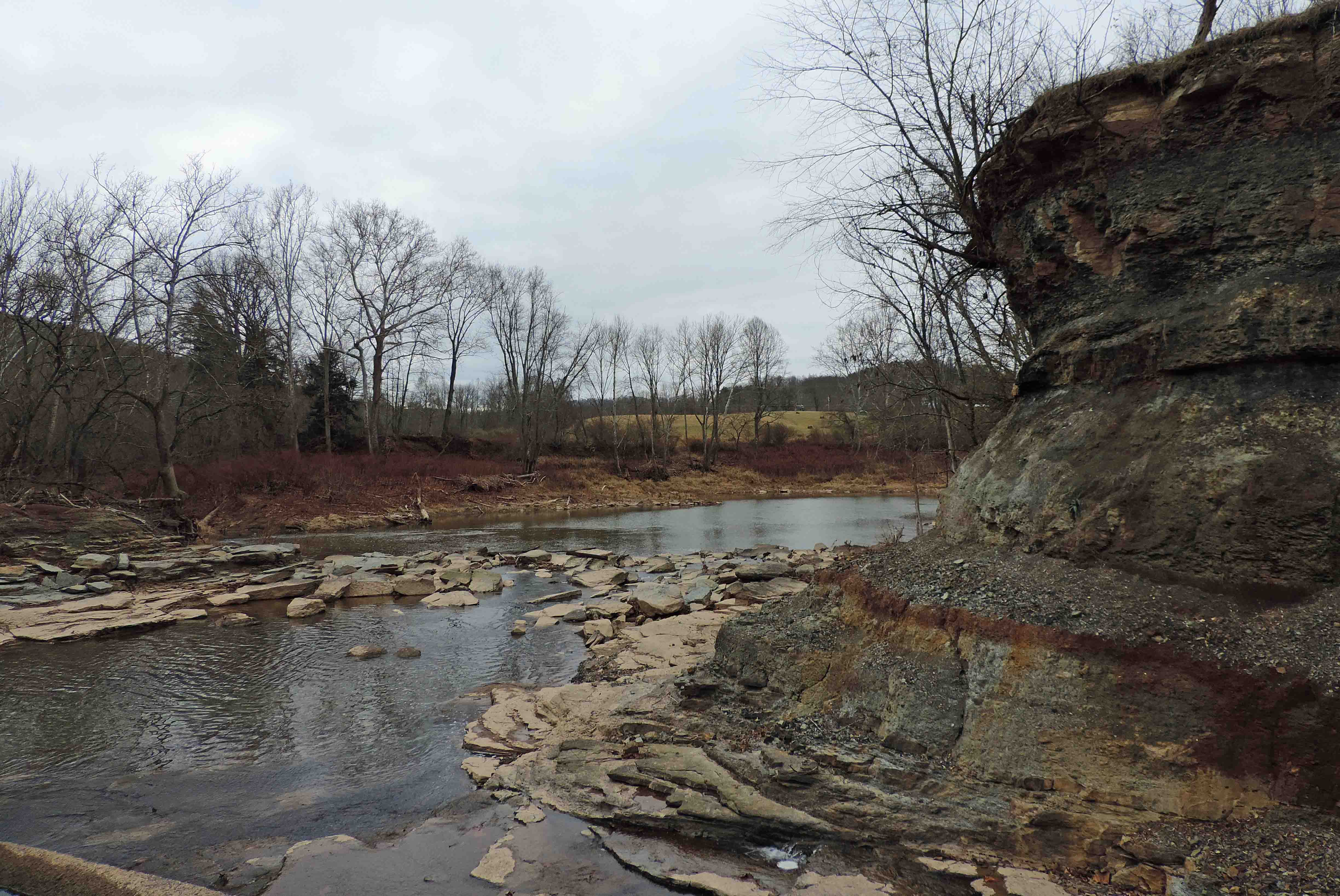
Down Middle Island Creek
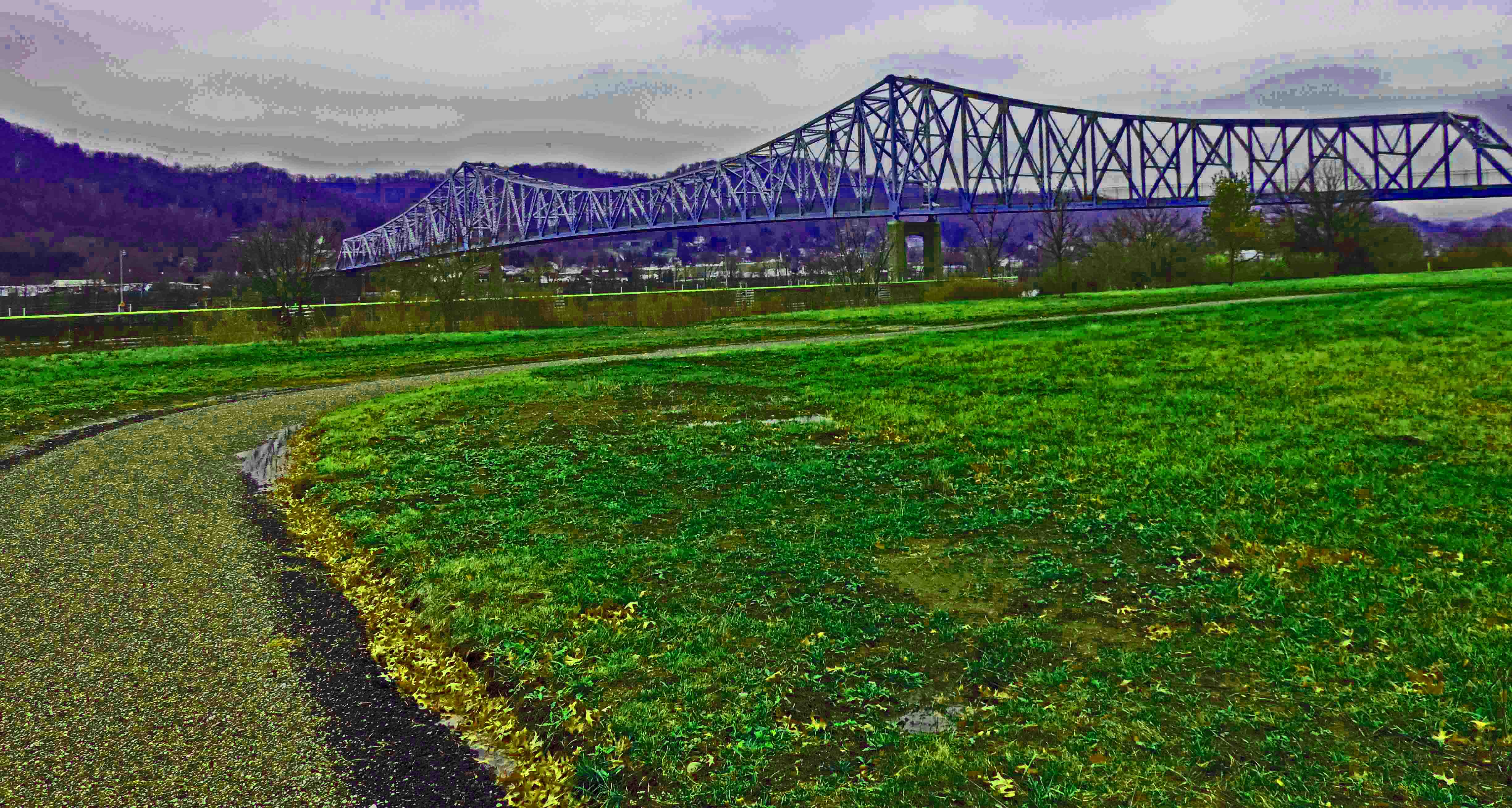
Bridge and Path

Looking Up the Creek

Bales of Hay and Broken Down Barn

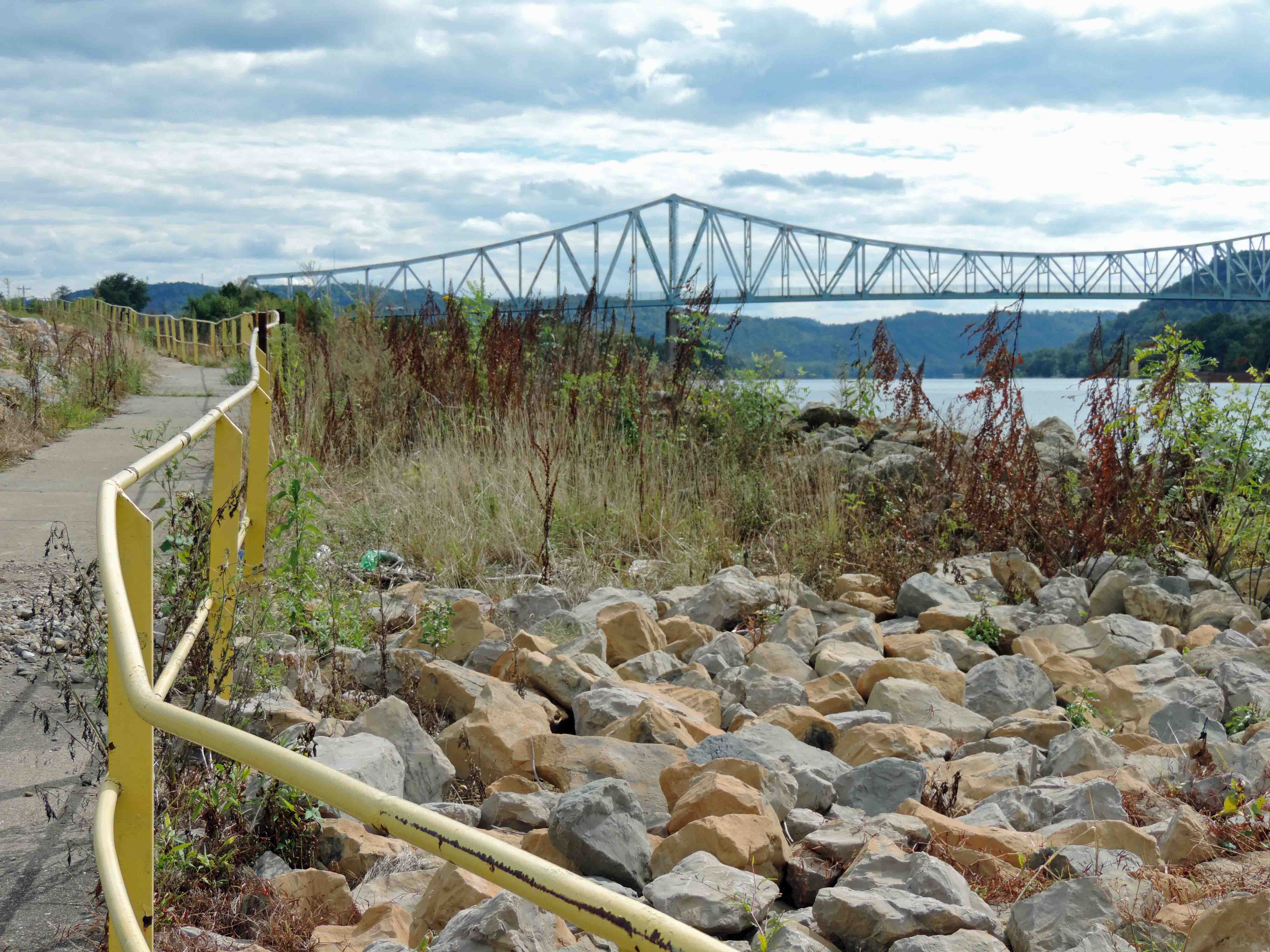
Bridge 1064-25
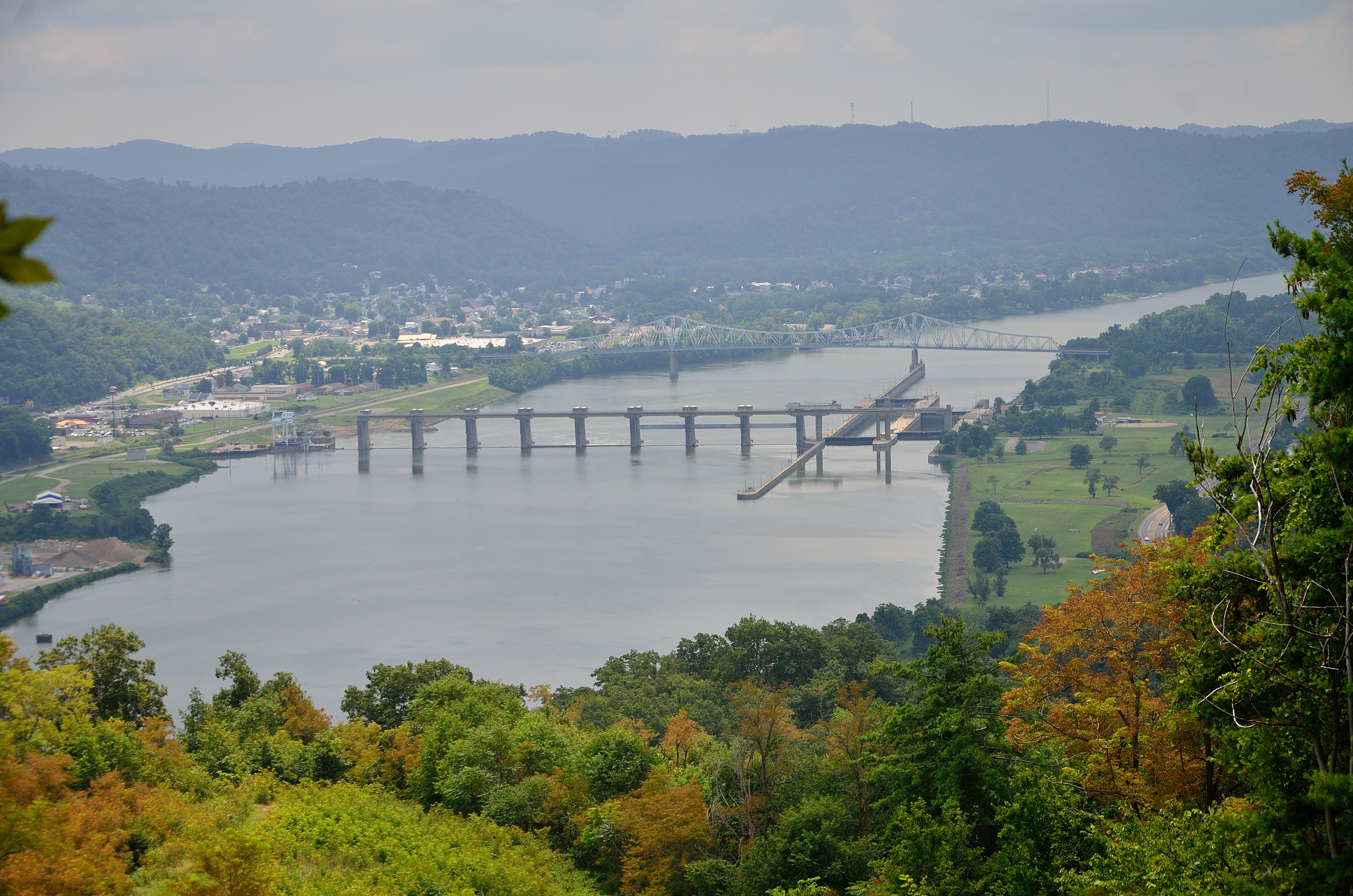
Hannibal / New Martinsville

Hannibal Locks and Dam from the Bank

Bridge 1064-05

Bridge 1064-15

A Pier Near Locks and Dam
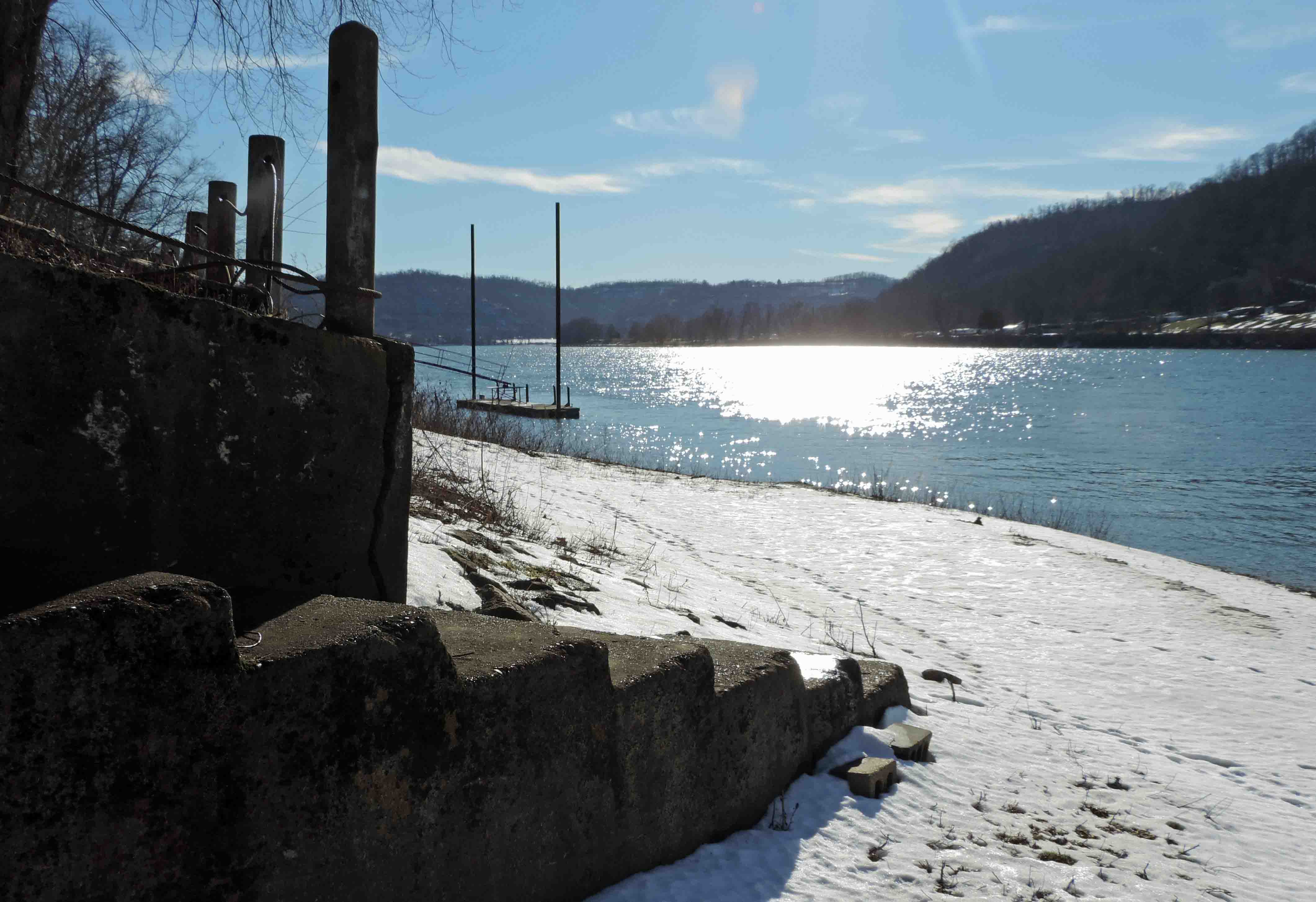
Ohio River Bank in January

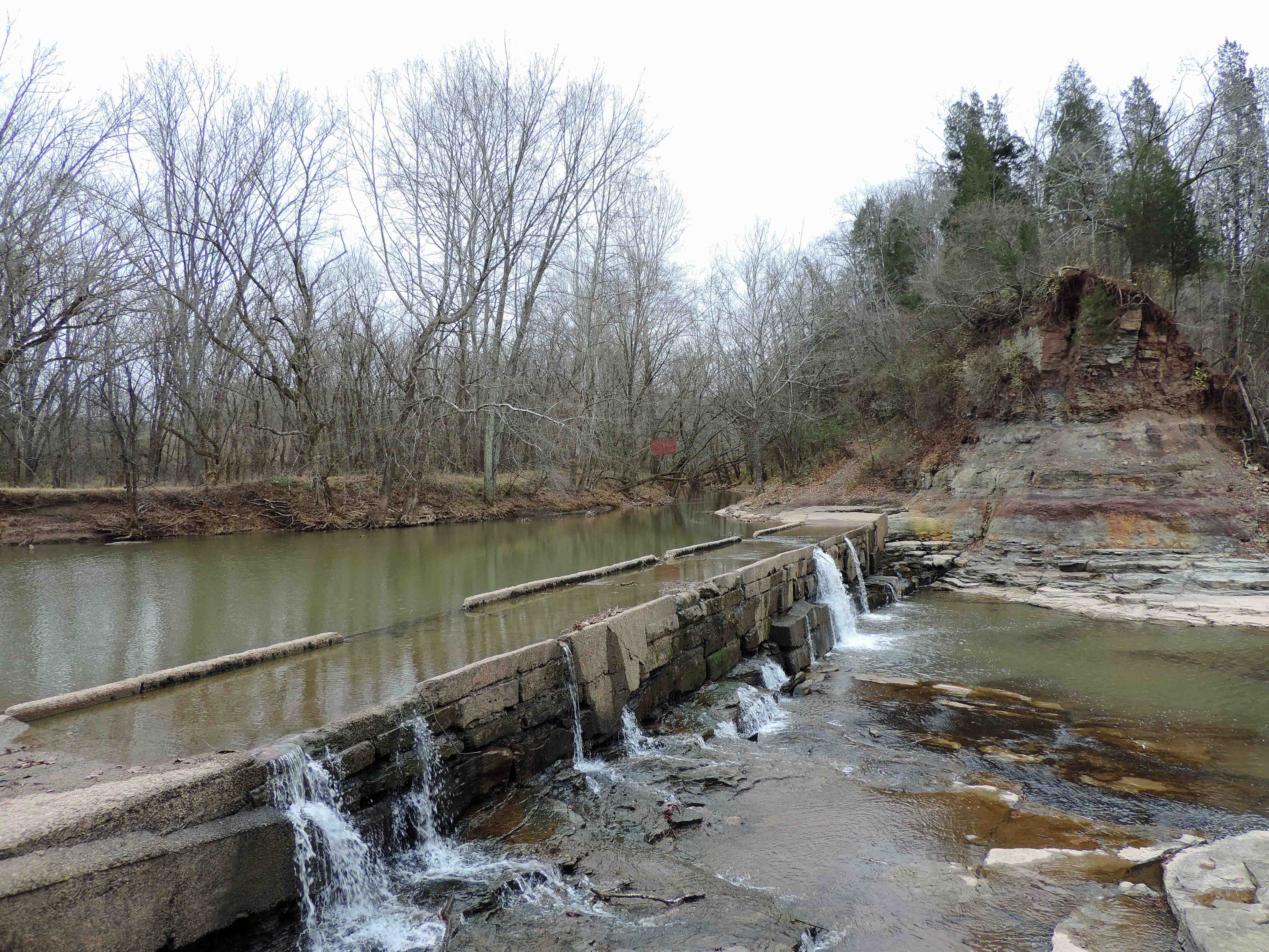
A Stream, a Lock, and a Bridge
Topographic Map of Porters Falls, WV, USA
Find elevation by address:

Places in Porters Falls, WV, USA:
Places near Porters Falls, WV, USA:
20 Chiselfinger Ridge Rd, Porters Falls, WV, USA
6941 Mountaineer Hwy
6475 Mountaineer Hwy
Reader
25 Piney Fork Rd, Pine Grove, WV, USA
Pine Grove
Wetzel County
New Martinsville
Hastings
2, WV, USA
Hoyt Ridge Rd, Pine Grove, WV, USA
Proctor
N Fork Rd, Pine Grove, WV, USA
1, WV, USA
73 Postle Ridge, 2, WV, USA
Miller Run Rd, 2, WV, USA
Kodol Rd, 2, WV, USA
9929 Hornet Hwy
Littleton
Recent Searches:
- Elevation of Corso Fratelli Cairoli, 35, Macerata MC, Italy
- Elevation of Tallevast Rd, Sarasota, FL, USA
- Elevation of 4th St E, Sonoma, CA, USA
- Elevation of Black Hollow Rd, Pennsdale, PA, USA
- Elevation of Oakland Ave, Williamsport, PA, USA
- Elevation of Pedrógão Grande, Portugal
- Elevation of Klee Dr, Martinsburg, WV, USA
- Elevation of Via Roma, Pieranica CR, Italy
- Elevation of Tavkvetili Mountain, Georgia
- Elevation of Hartfords Bluff Cir, Mt Pleasant, SC, USA