Elevation of Wetzel County, WV, USA
Location: United States > West Virginia >
Longitude: -80.677078
Latitude: 39.5655978
Elevation: 231m / 758feet
Barometric Pressure: 99KPa
Elevation Map:
Satellite Map:
Related Photos:

Bridge 1064-25

Bridge 1064-05

Bridge 1064-15

Bridge 1064-13

Bridge 1064-03
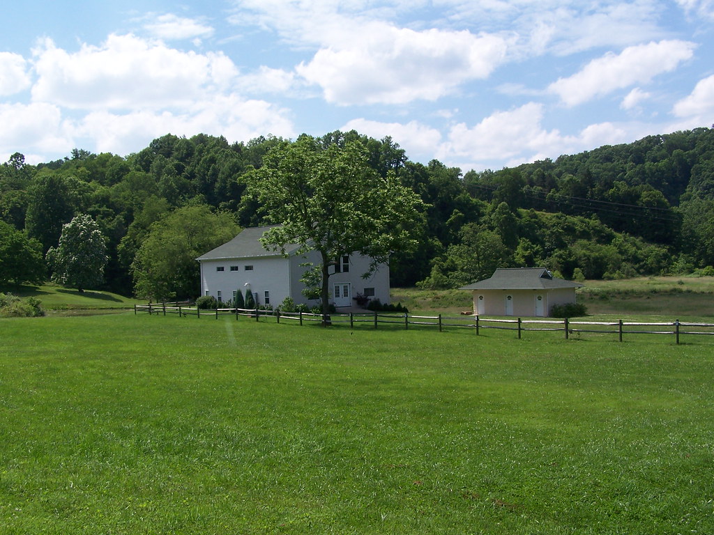
Lantz Farm & Nature Preserve WMA
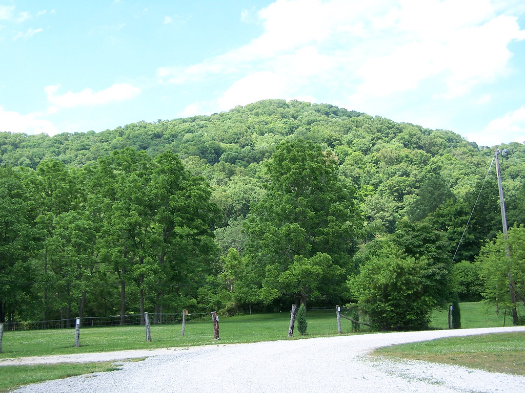
Lantz Farm & Nature Preserve WMA
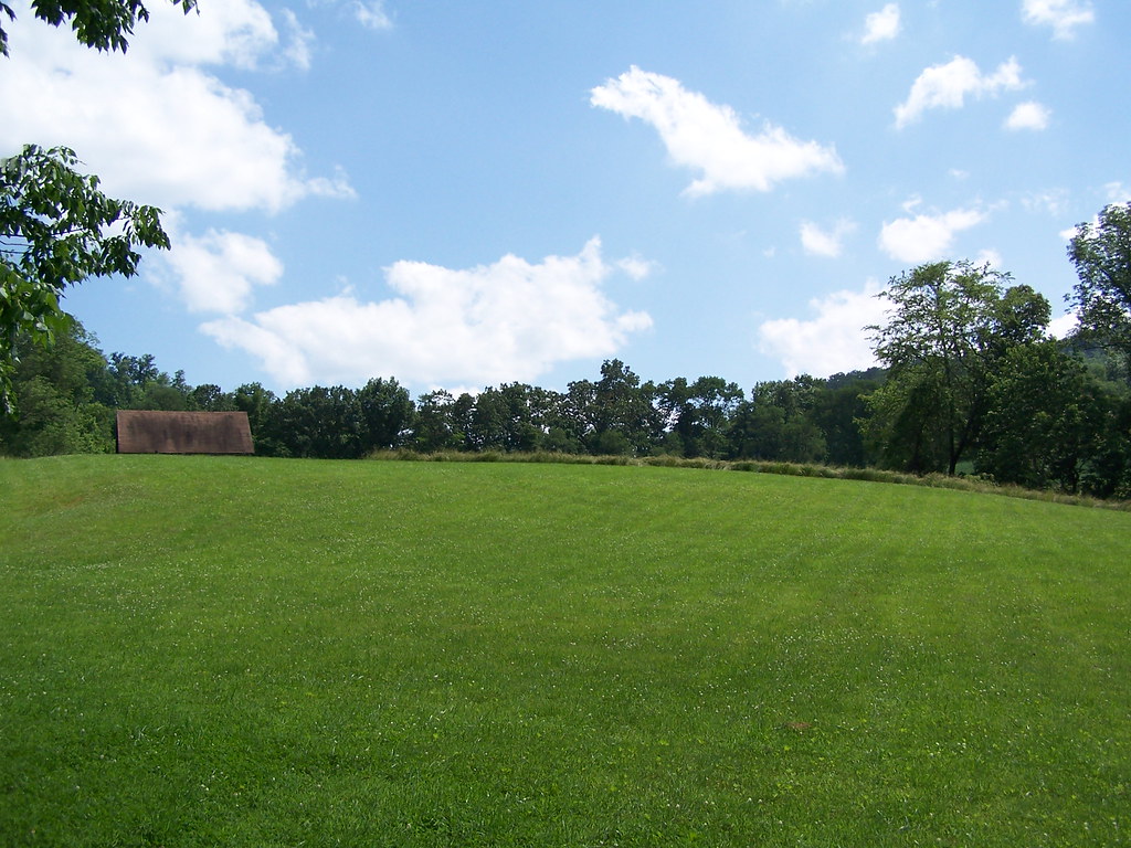
Lantz Farm & Nature Preserve WMA
photo 3
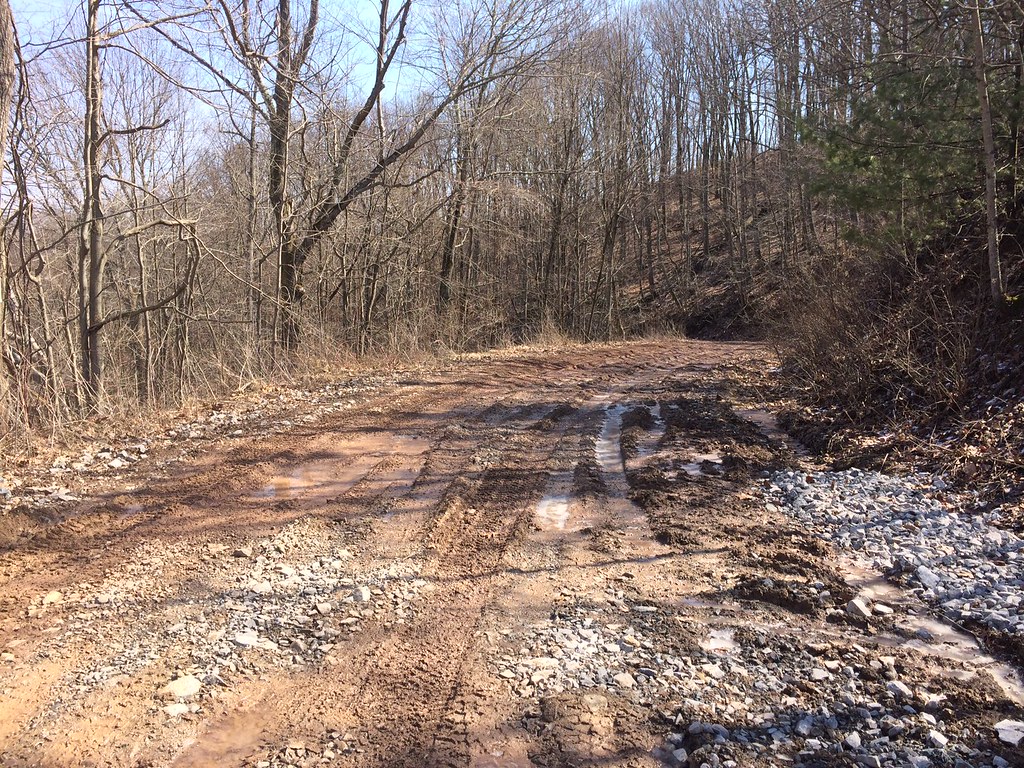
photo 1
Topographic Map of Wetzel County, WV, USA
Find elevation by address:

Places in Wetzel County, WV, USA:
Places near Wetzel County, WV, USA:
Pine Grove
Hastings
25 Piney Fork Rd, Pine Grove, WV, USA
Hoyt Ridge Rd, Pine Grove, WV, USA
Reader
N Fork Rd, Pine Grove, WV, USA
1, WV, USA
Porters Falls
20 Chiselfinger Ridge Rd, Porters Falls, WV, USA
2, WV, USA
6941 Mountaineer Hwy
6475 Mountaineer Hwy
73 Postle Ridge, 2, WV, USA
Miller Run Rd, 2, WV, USA
Kodol Rd, 2, WV, USA
New Martinsville
Proctor
Littleton
9929 Hornet Hwy
Recent Searches:
- Elevation of Corso Fratelli Cairoli, 35, Macerata MC, Italy
- Elevation of Tallevast Rd, Sarasota, FL, USA
- Elevation of 4th St E, Sonoma, CA, USA
- Elevation of Black Hollow Rd, Pennsdale, PA, USA
- Elevation of Oakland Ave, Williamsport, PA, USA
- Elevation of Pedrógão Grande, Portugal
- Elevation of Klee Dr, Martinsburg, WV, USA
- Elevation of Via Roma, Pieranica CR, Italy
- Elevation of Tavkvetili Mountain, Georgia
- Elevation of Hartfords Bluff Cir, Mt Pleasant, SC, USA