Elevation of Jacksonburg, WV, USA
Location: United States > West Virginia > Wetzel County >
Longitude: -80.641762
Latitude: 39.5323042
Elevation: 228m / 748feet
Barometric Pressure: 99KPa
Elevation Map:
Satellite Map:
Related Photos:

Lantz Farm & Nature Preserve WMA
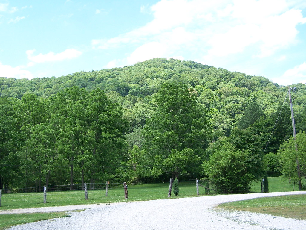
Lantz Farm & Nature Preserve WMA

Lantz Farm & Nature Preserve WMA
photo 3

photo 1

BHughes_Infrastructure-drillrig-Statoil-KuhnWellPad-WetzelCounty-WV_Sept2016

BHughes_Infrastructure_cryogenicfacility-MarkWest-Mobley-WetzelCounty-WV_Oct2015(1)

BHughes_Infrastructure_cryogenicfacility-MarkWest-Mobley-WetzelCounty-WV_Oct2015
IMG_2483.jpg

Hazel Filling Station - West Virginia

Lantz Farm & Nature Preserve WMA

TAuch_Infrastructure-ProcessingFacility-MarkWest-Mobley-WV_SouthWings_Jan2018

TAuch_Infrastructure-ProcessingFacility-Williams-WetzelCounty_WV_SouthWings_Jan2018

photo 5

photo 2

photo 4

Up in the Hills
Copy (1) of IMG_9925a

Supporting the pole

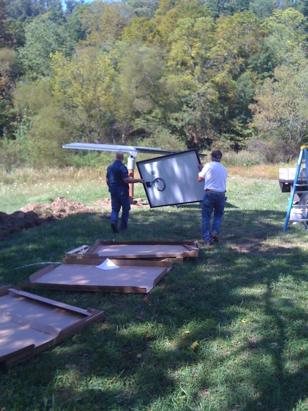
Lift it Up
Starting the Panel install

Xantrex Inverter and power distro panel. On the right is the PV array control.

1st Battery Bank

Electrical and Battery rooms
Topographic Map of Jacksonburg, WV, USA
Find elevation by address:

Places near Jacksonburg, WV, USA:
Pipe Yard Ln, Pine Grove, WV, USA
Hastings
5124 Piney Fork Rd
Wetzel County
Pine Grove
Piney
N Fork Rd, Pine Grove, WV, USA
1, WV, USA
25 Piney Fork Rd, Pine Grove, WV, USA
Hoyt Ridge Rd, Pine Grove, WV, USA
Smithfield
WV-20, Smithfield, WV, USA
Reader
County Road 44
73 Postle Ridge, 2, WV, USA
N Fork Rd, Smithfield, WV, USA
Talkington Fork
Mannington Rd, Smithfield, WV, USA
Kodol Rd, 2, WV, USA
Center Point
Recent Searches:
- Elevation of Corso Fratelli Cairoli, 35, Macerata MC, Italy
- Elevation of Tallevast Rd, Sarasota, FL, USA
- Elevation of 4th St E, Sonoma, CA, USA
- Elevation of Black Hollow Rd, Pennsdale, PA, USA
- Elevation of Oakland Ave, Williamsport, PA, USA
- Elevation of Pedrógão Grande, Portugal
- Elevation of Klee Dr, Martinsburg, WV, USA
- Elevation of Via Roma, Pieranica CR, Italy
- Elevation of Tavkvetili Mountain, Georgia
- Elevation of Hartfords Bluff Cir, Mt Pleasant, SC, USA