Elevation of Friendly, WV, USA
Location: United States > West Virginia > Pleasants County > D >
Longitude: -81.059276
Latitude: 39.5159085
Elevation: 191m / 627feet
Barometric Pressure: 99KPa
Elevation Map:
Satellite Map:
Related Photos:
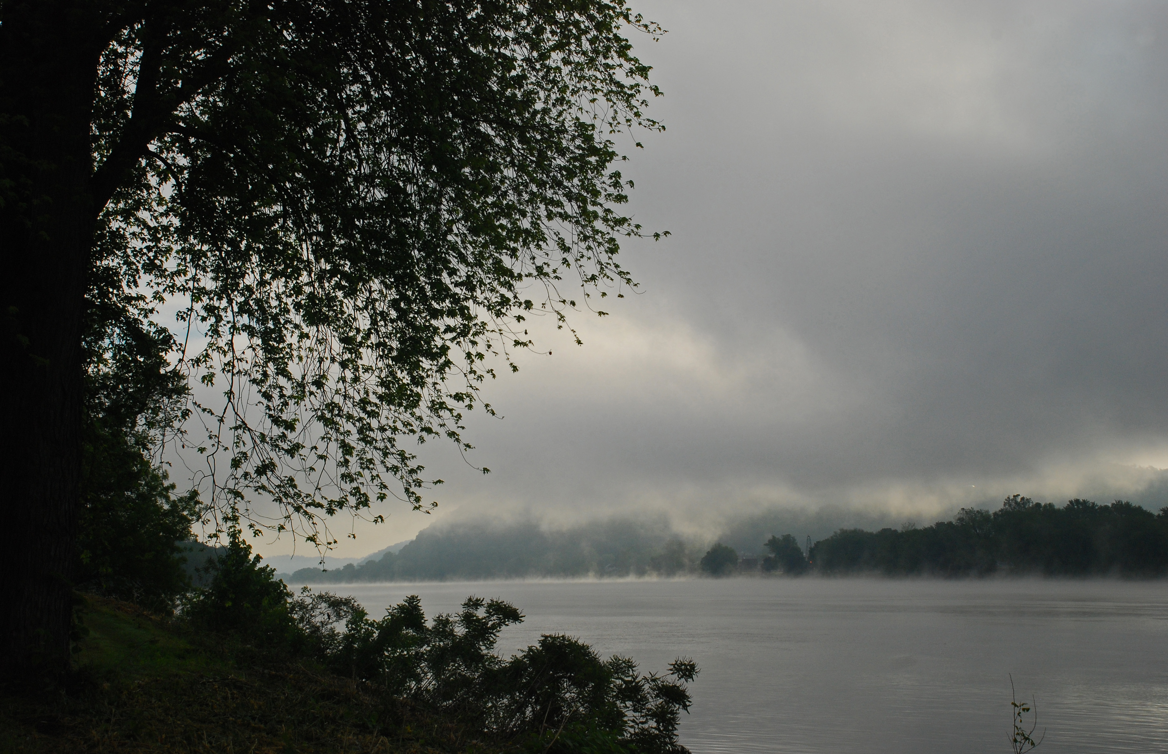
Foggy Fly Sunrise
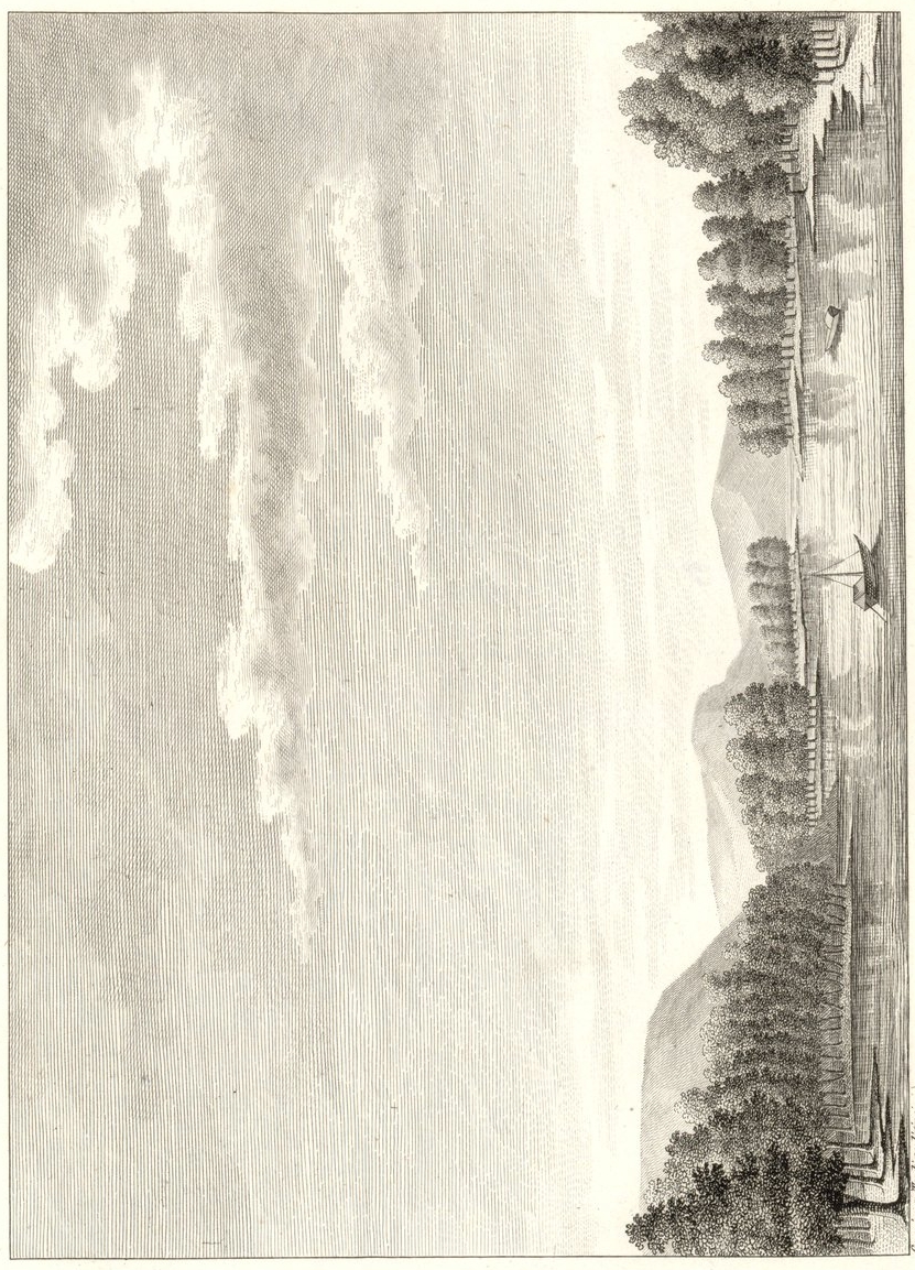
View of Long-Reach
Foggy Fly Sunrise
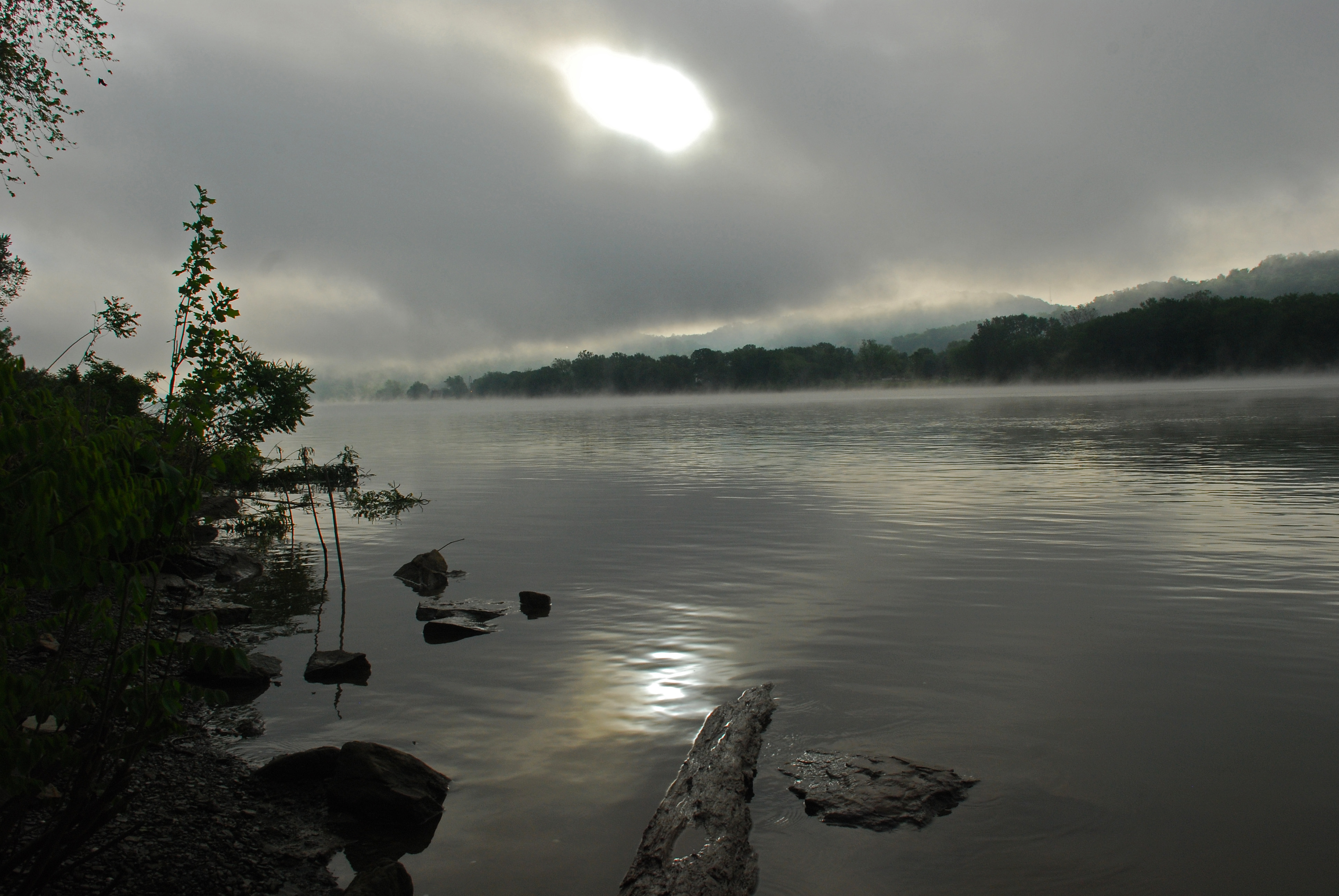
Foggy Fly Sunrise
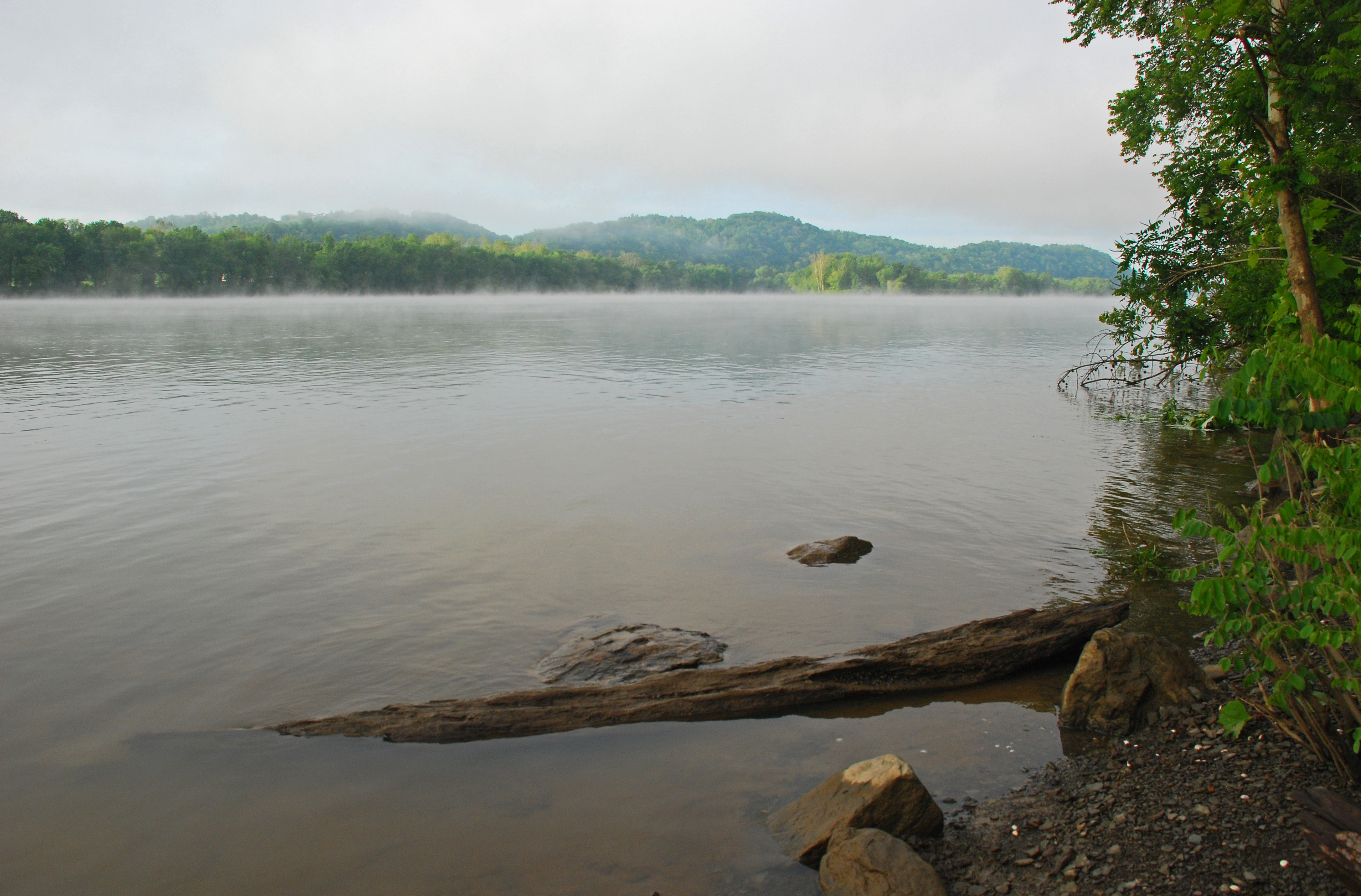
Foggy Fly Sunrise
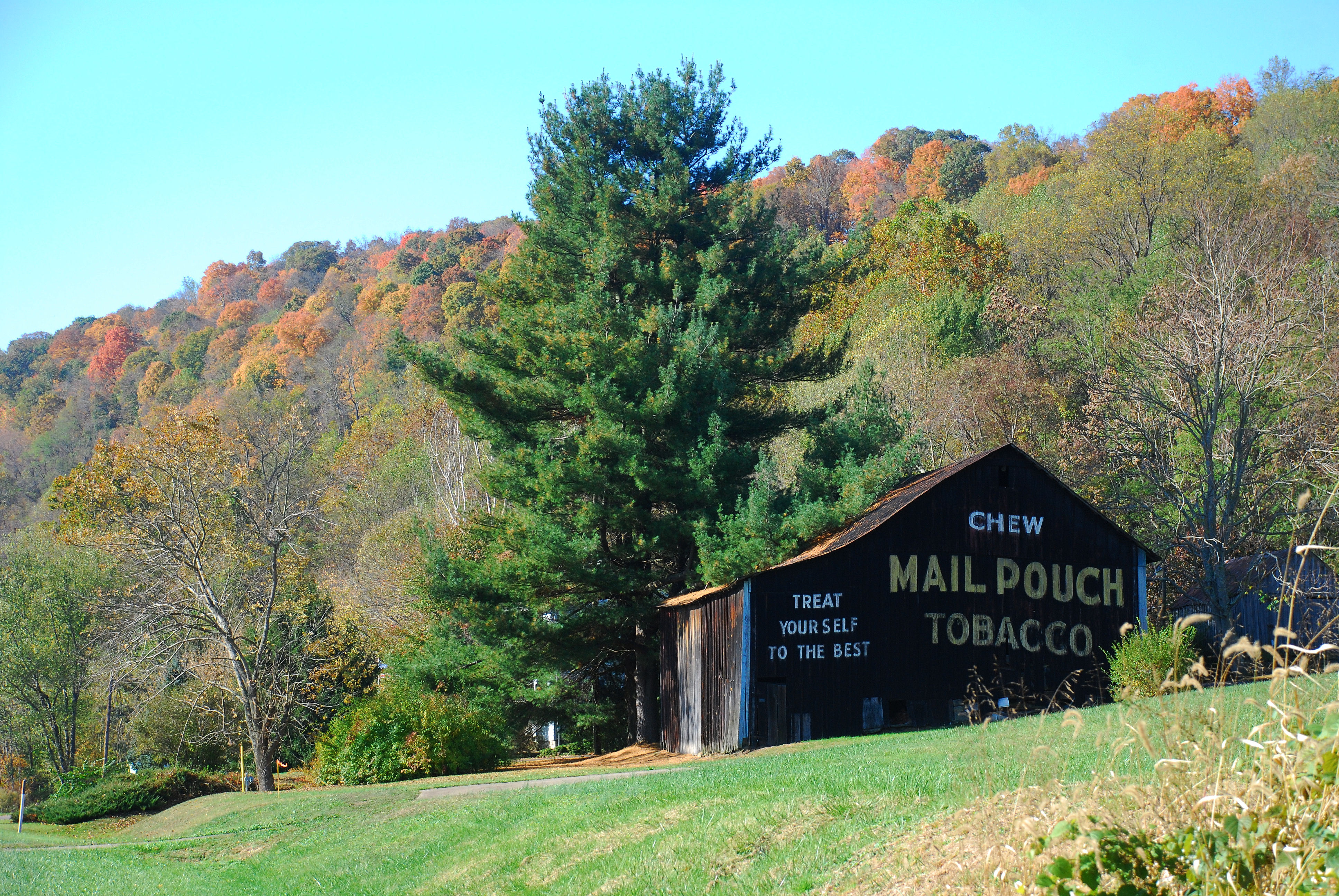
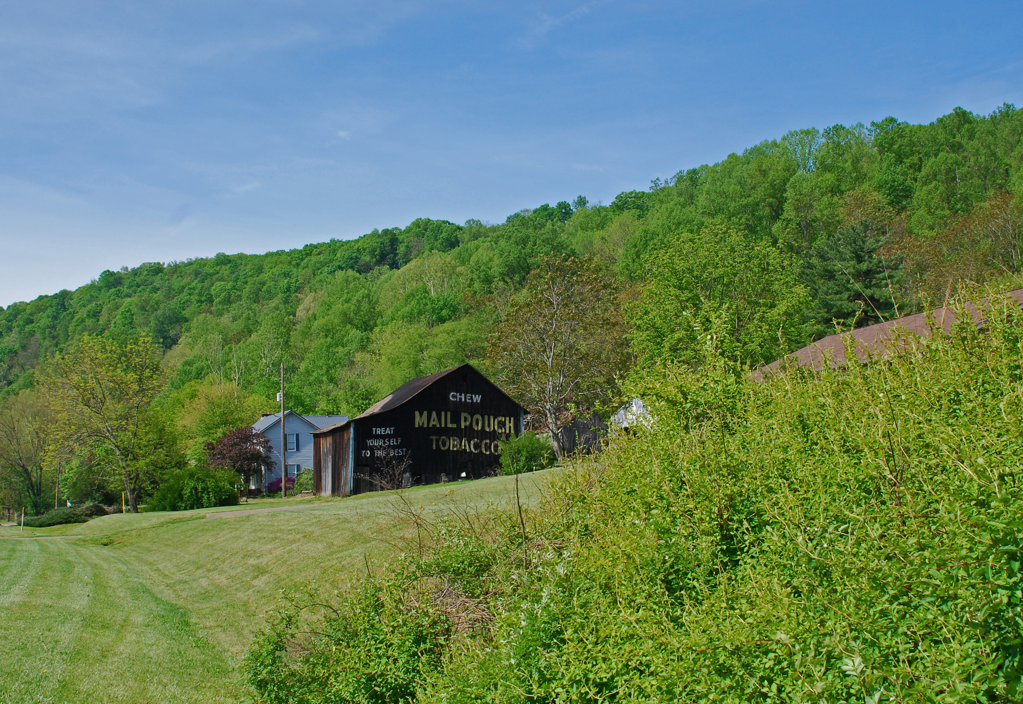
Route Seven Mailpouch Barn
Bad View
Lowa Leandro, side view.
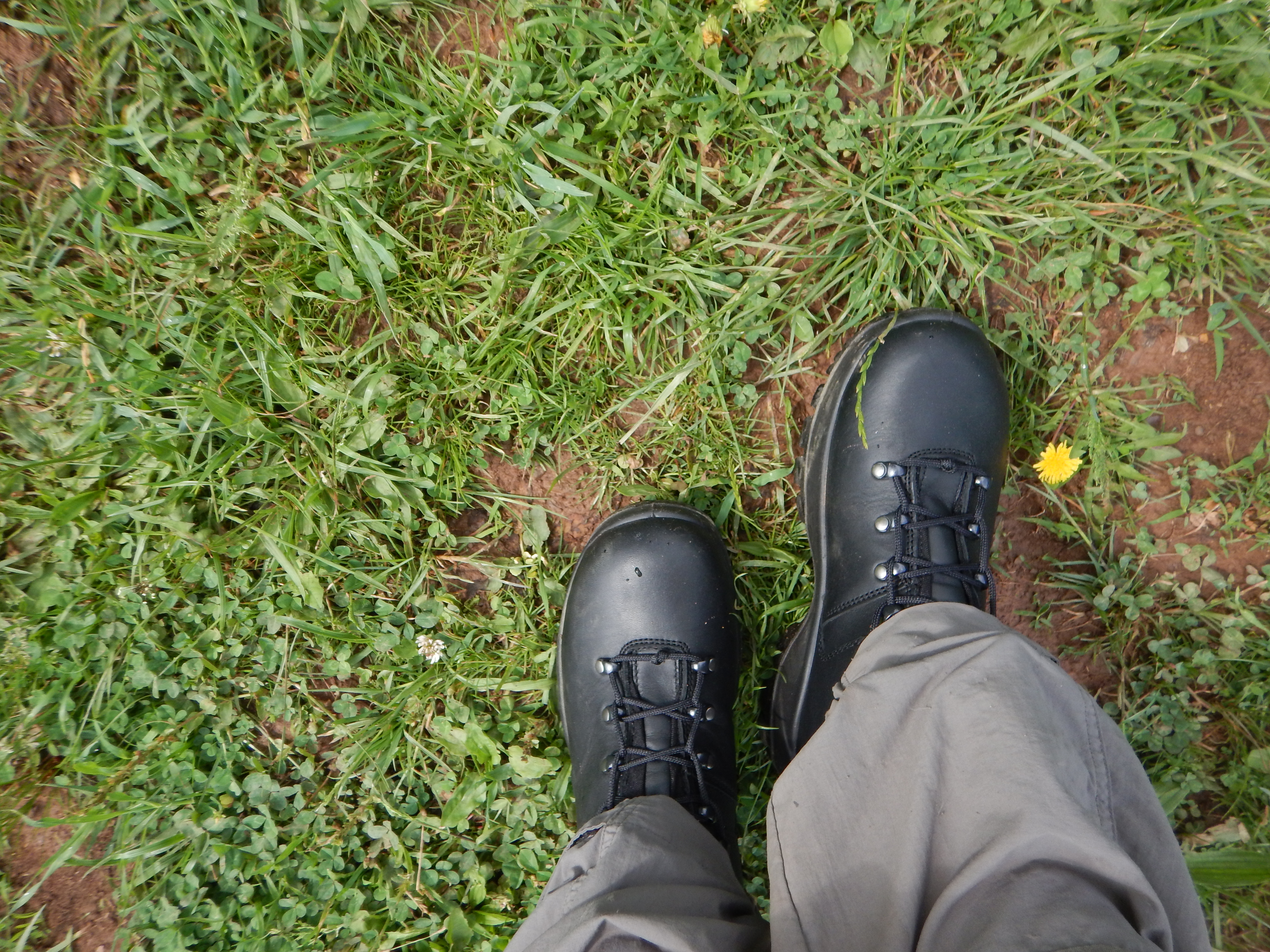
Lowa Leandro, top view.

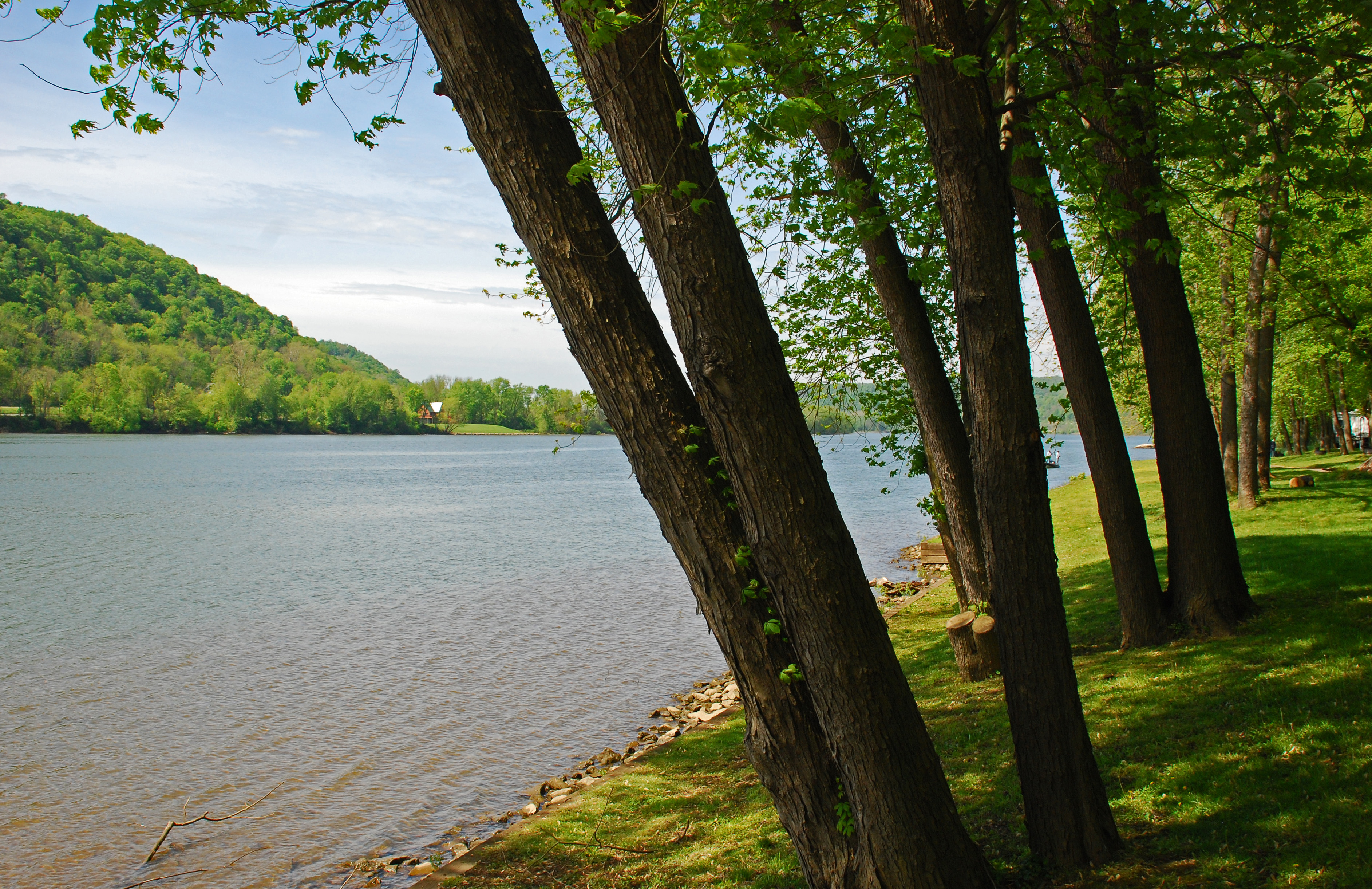
West Virginia ~ Friendly

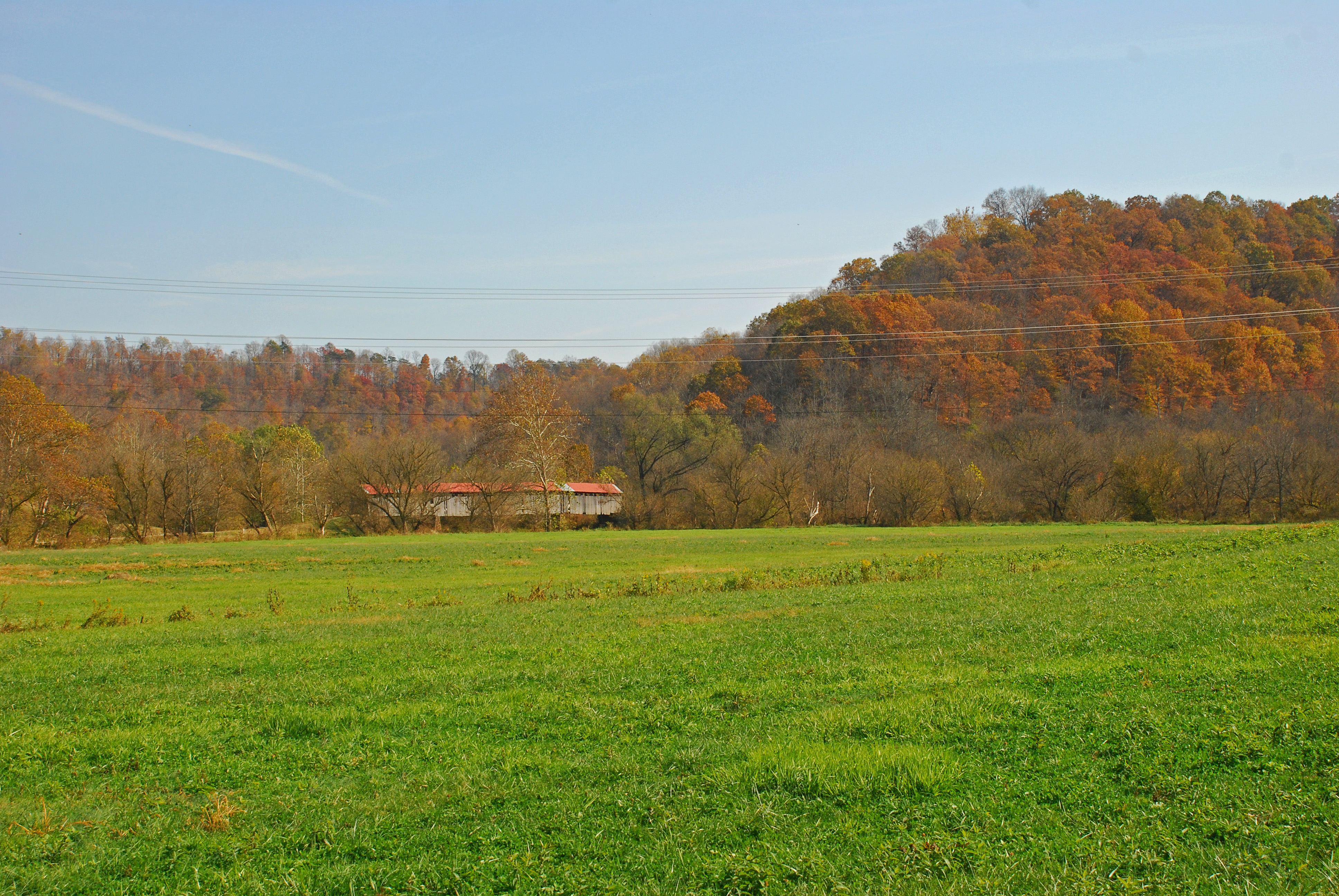
Knowlton Covered Bridge
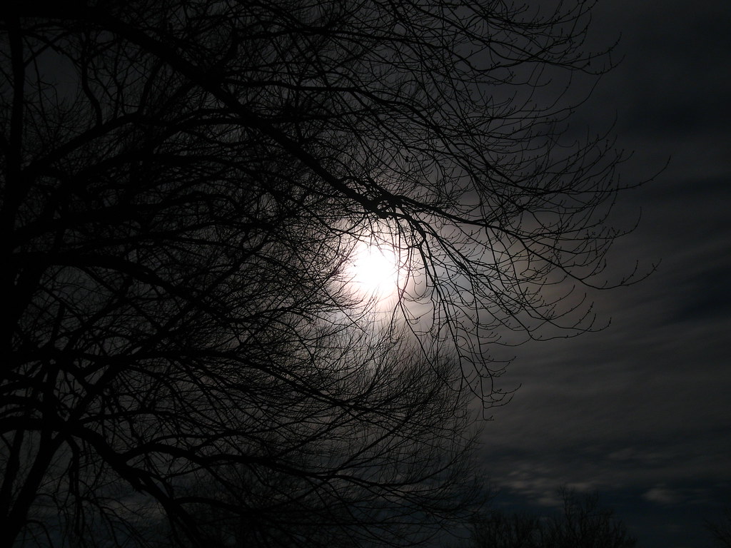
Cloudy Night.

Knowlton Covered Bridge
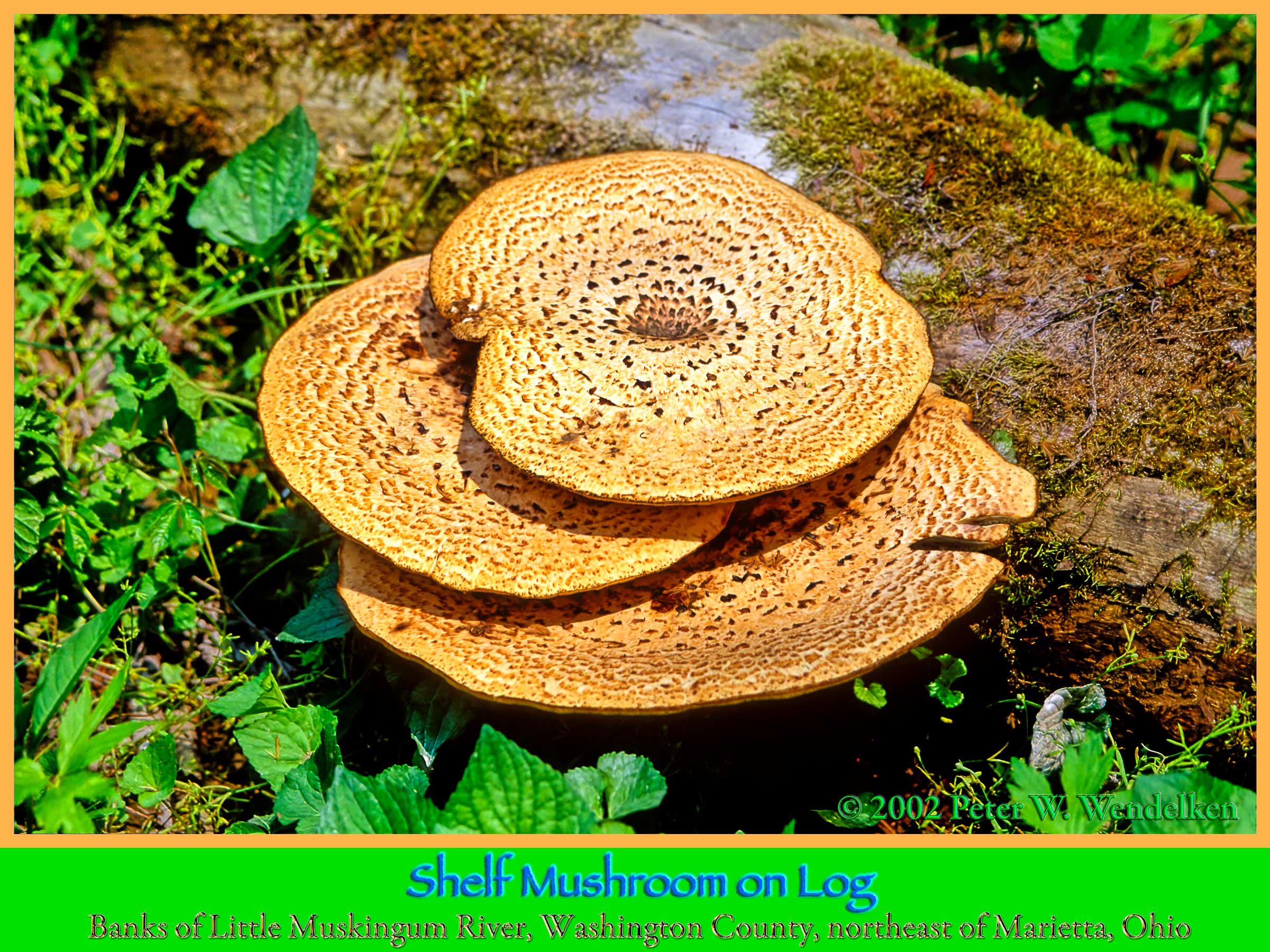
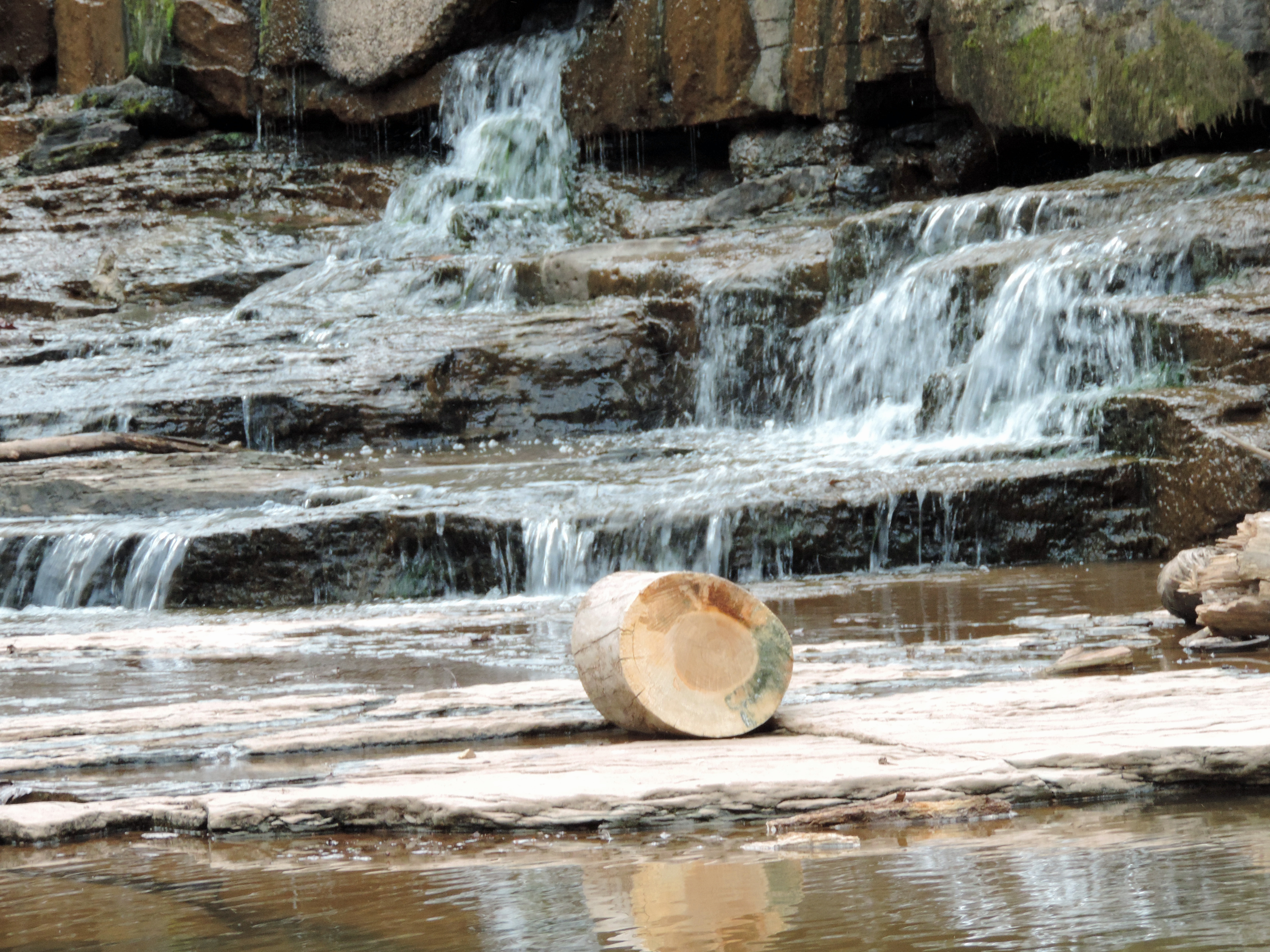
SHELF MUSHROOM on Log on the Banks of the Little Muskingum River in the Wayne National Forest in Washington County in Southeastern Ohio. Photo by Peter Wendelken.
Very Dry Little Muskingum River

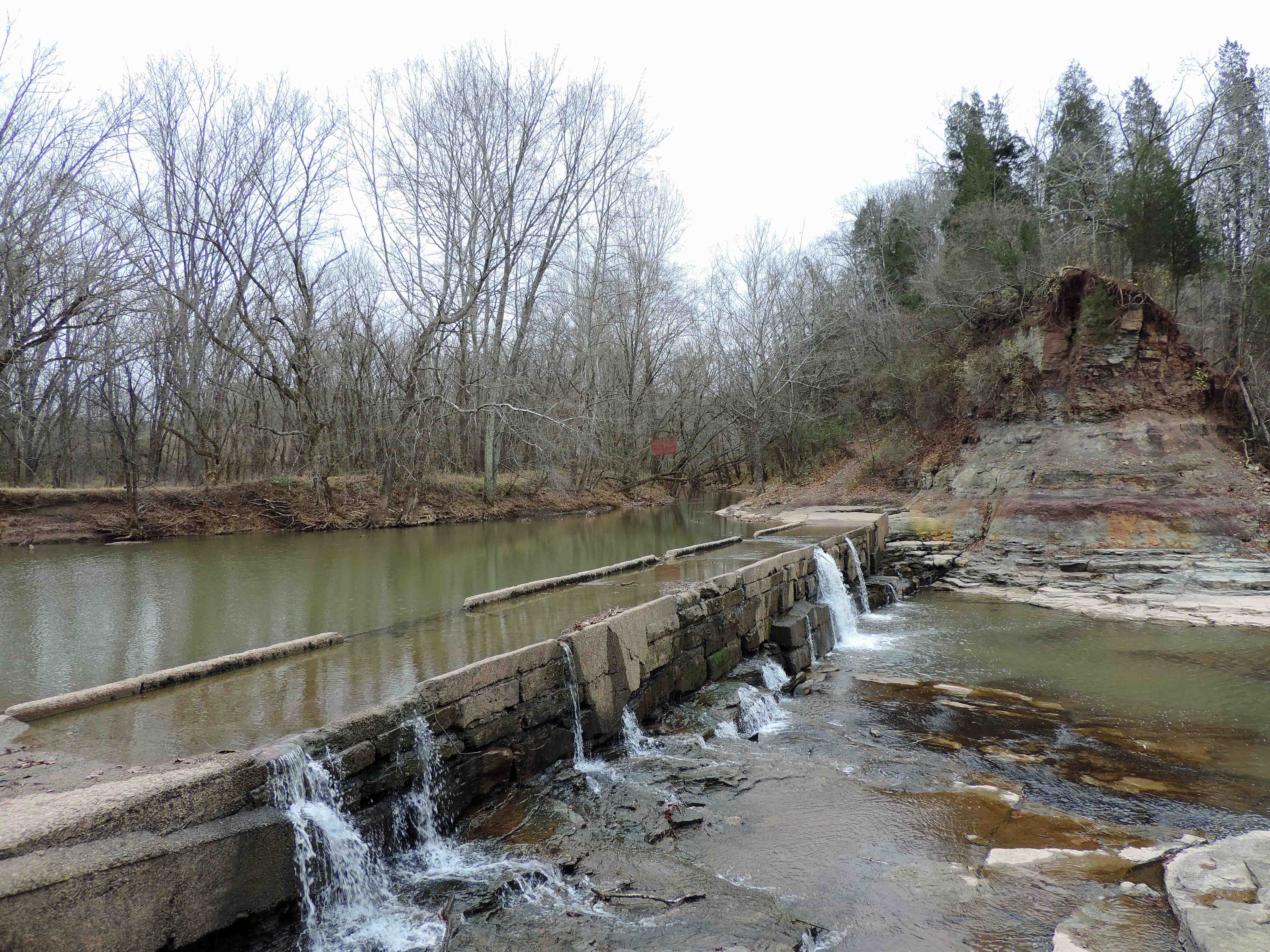
Knowlton Covered Bridge
Parting Shot of Knowlton Covered Bridge
Don't Touch That Third Wire
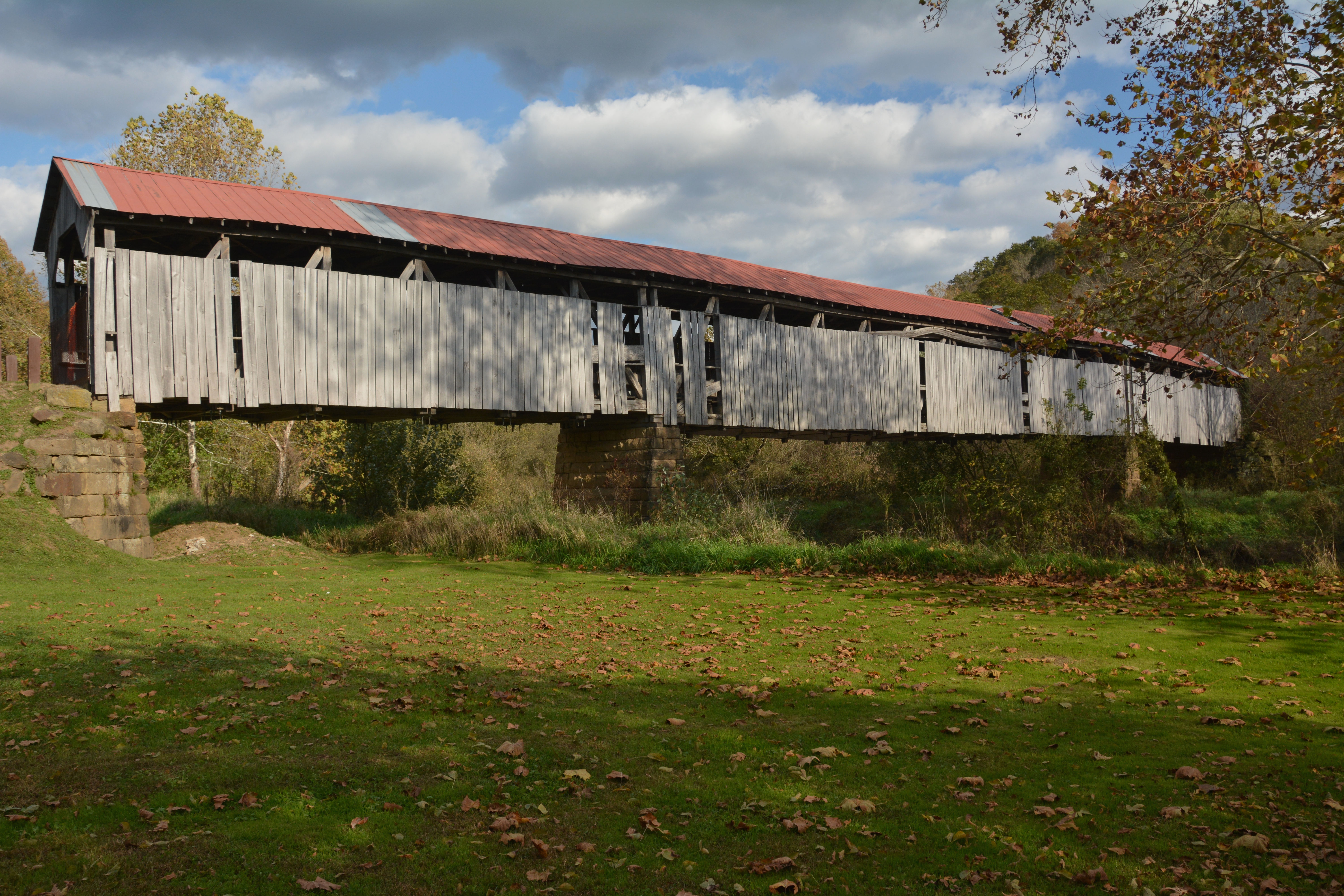
Knowlton Covered Bridge
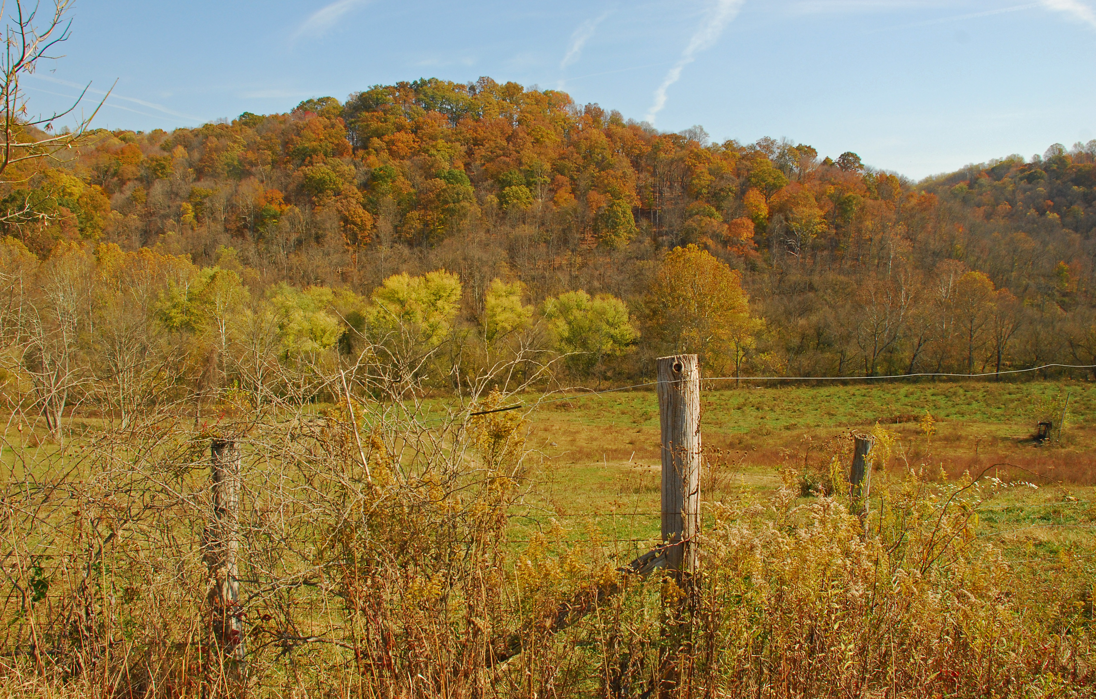
County Road 384
County Road 407
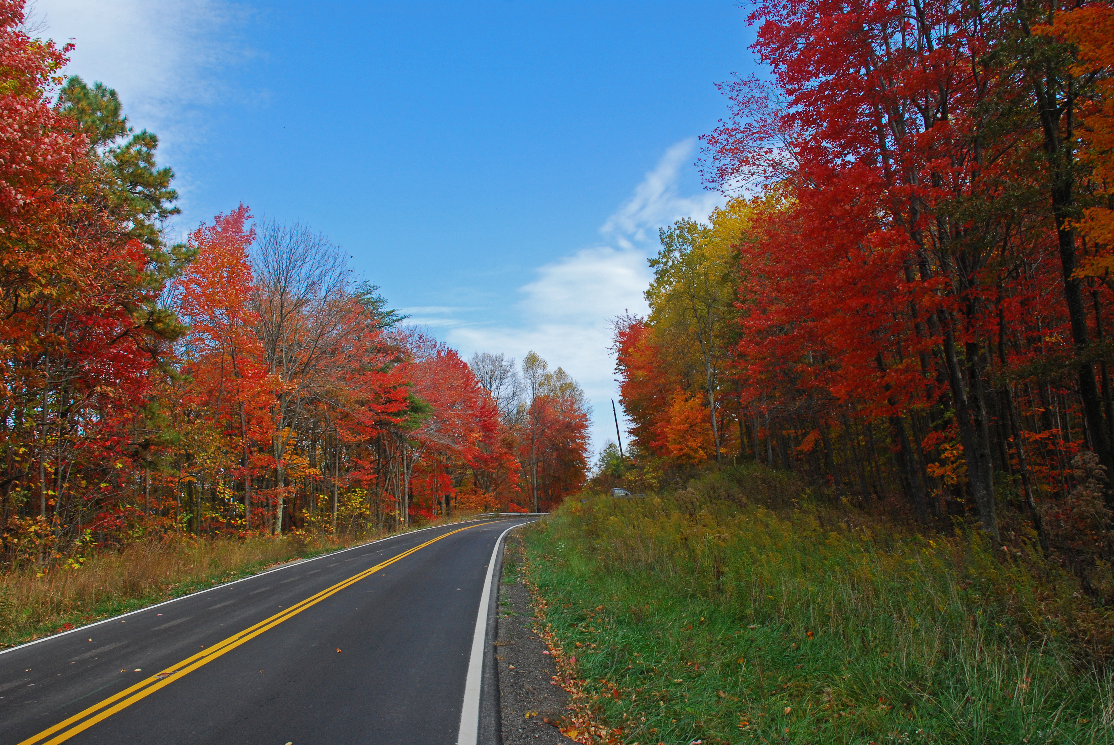
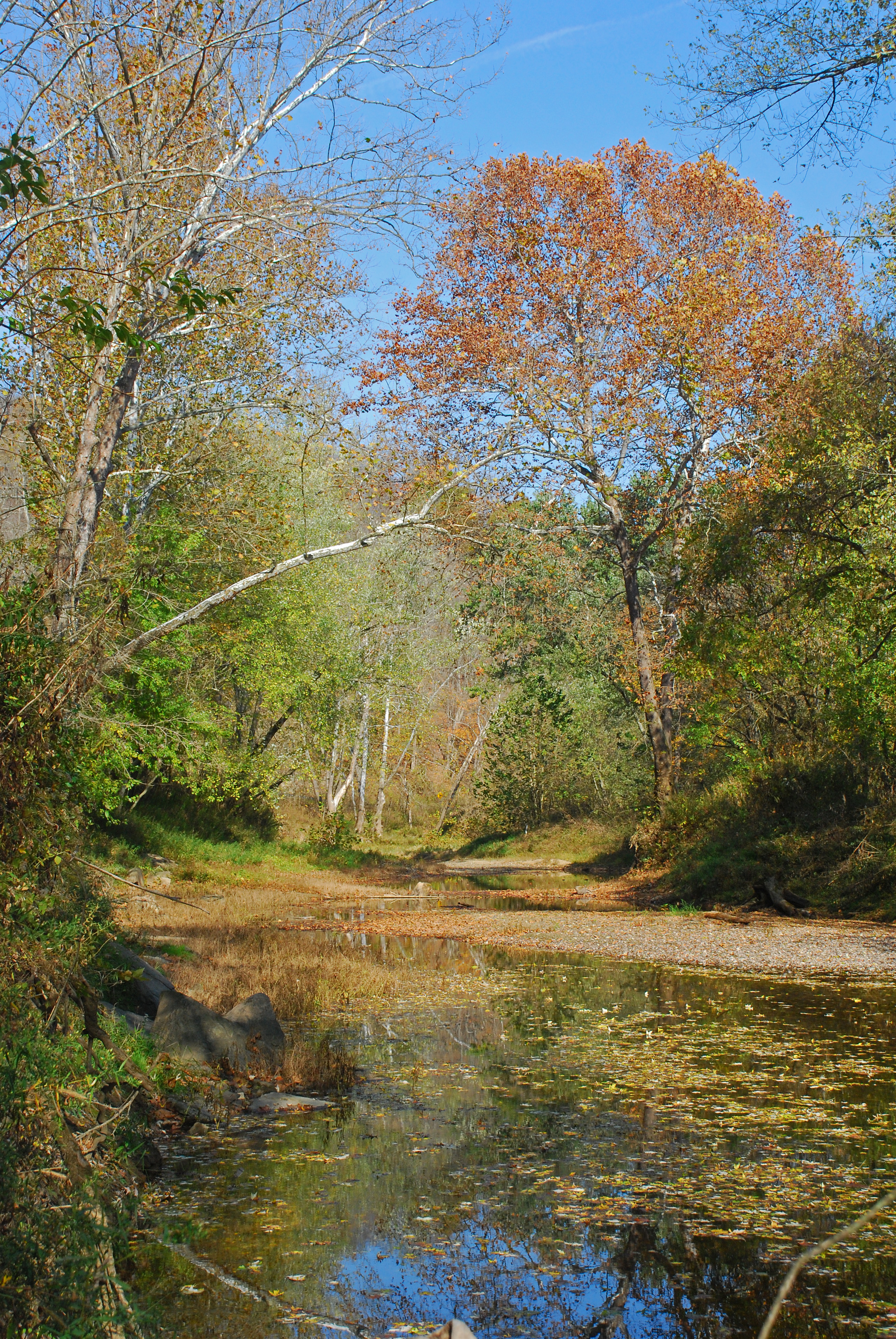
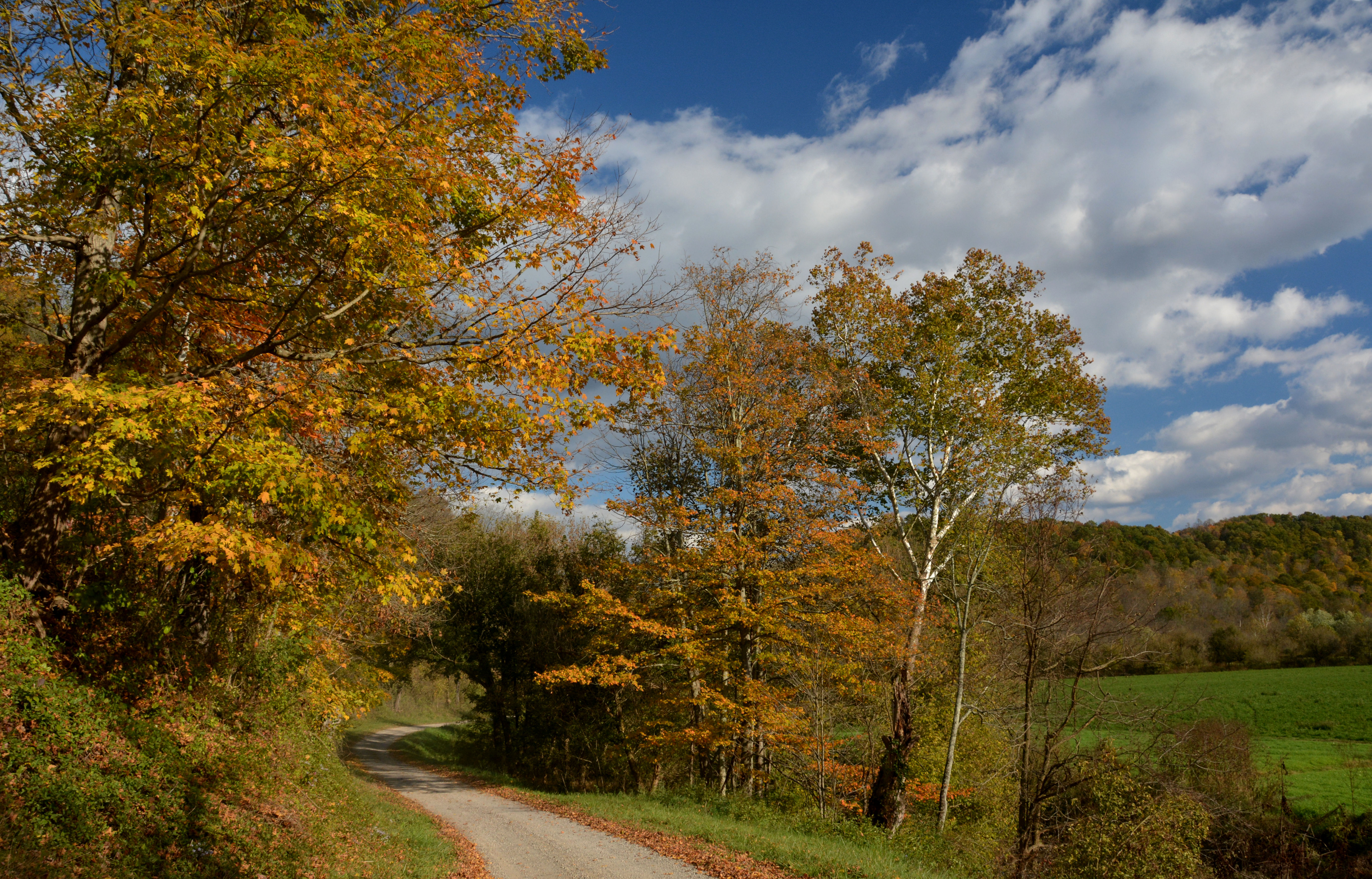
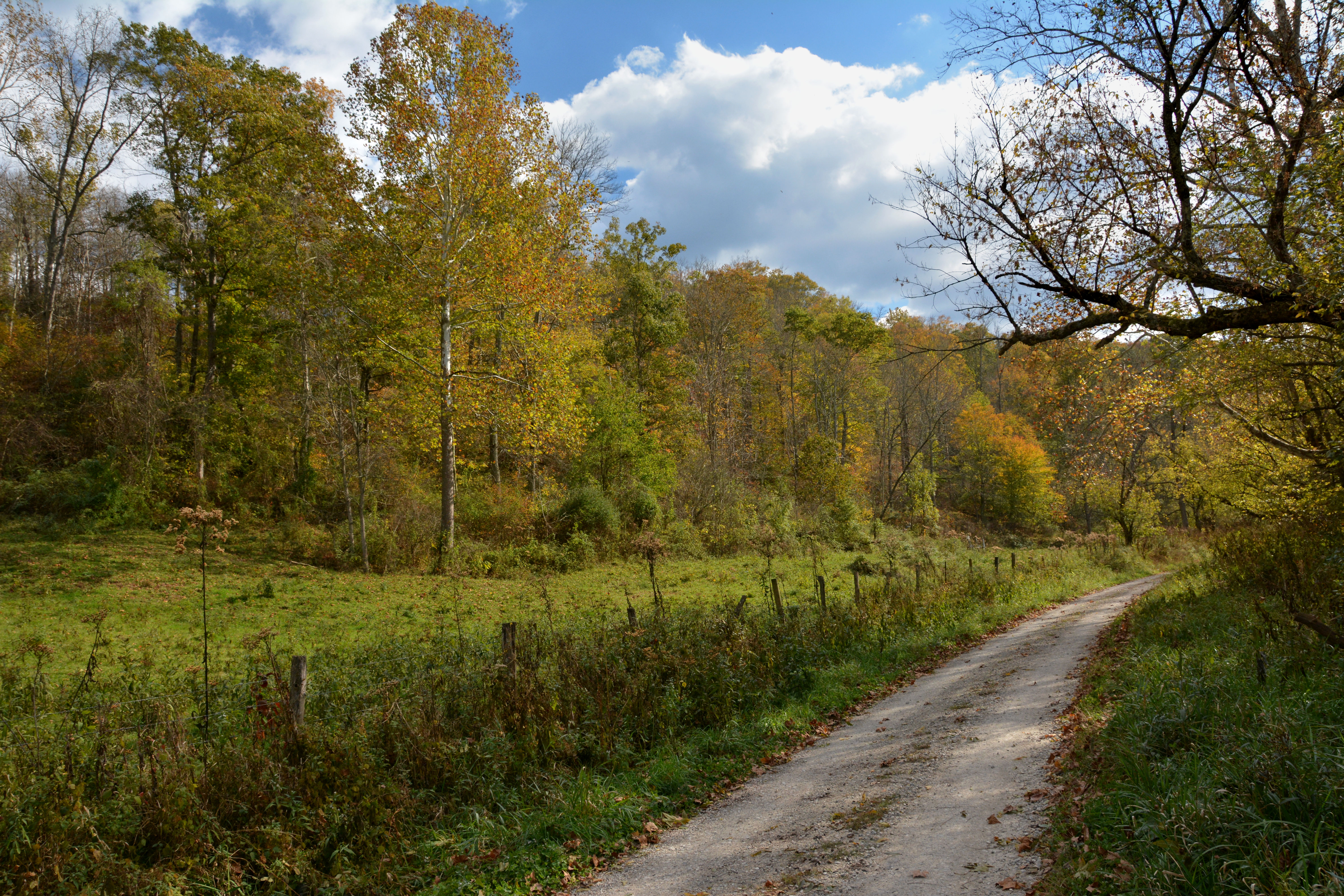
Fall 2010 Colors From Ohio Route 260
The Jug

The Jug
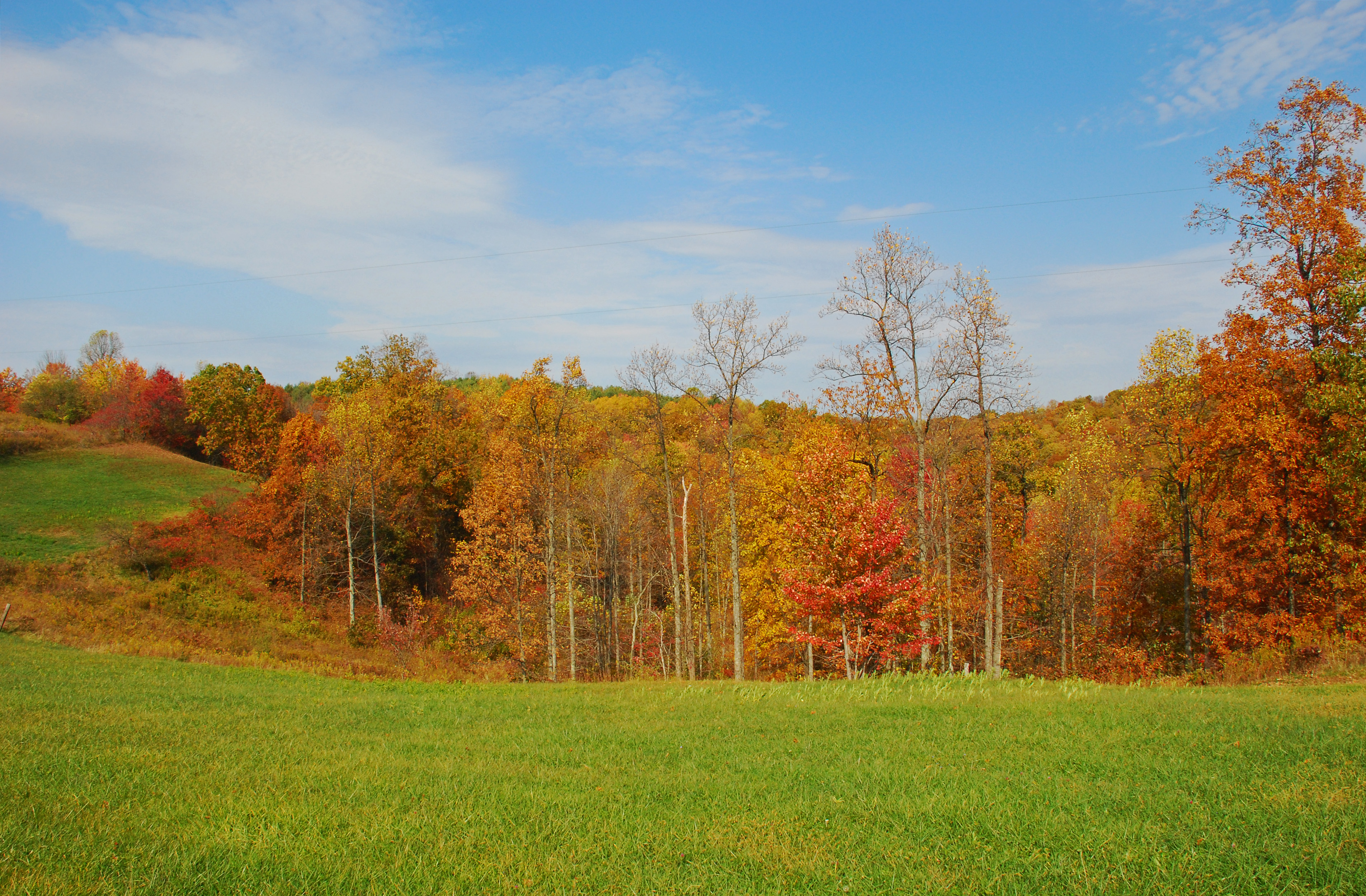
Fall 2010 Colors From Ohio Route 260
down below the bridge

Fall 2010 Colors From Ohio Route 260
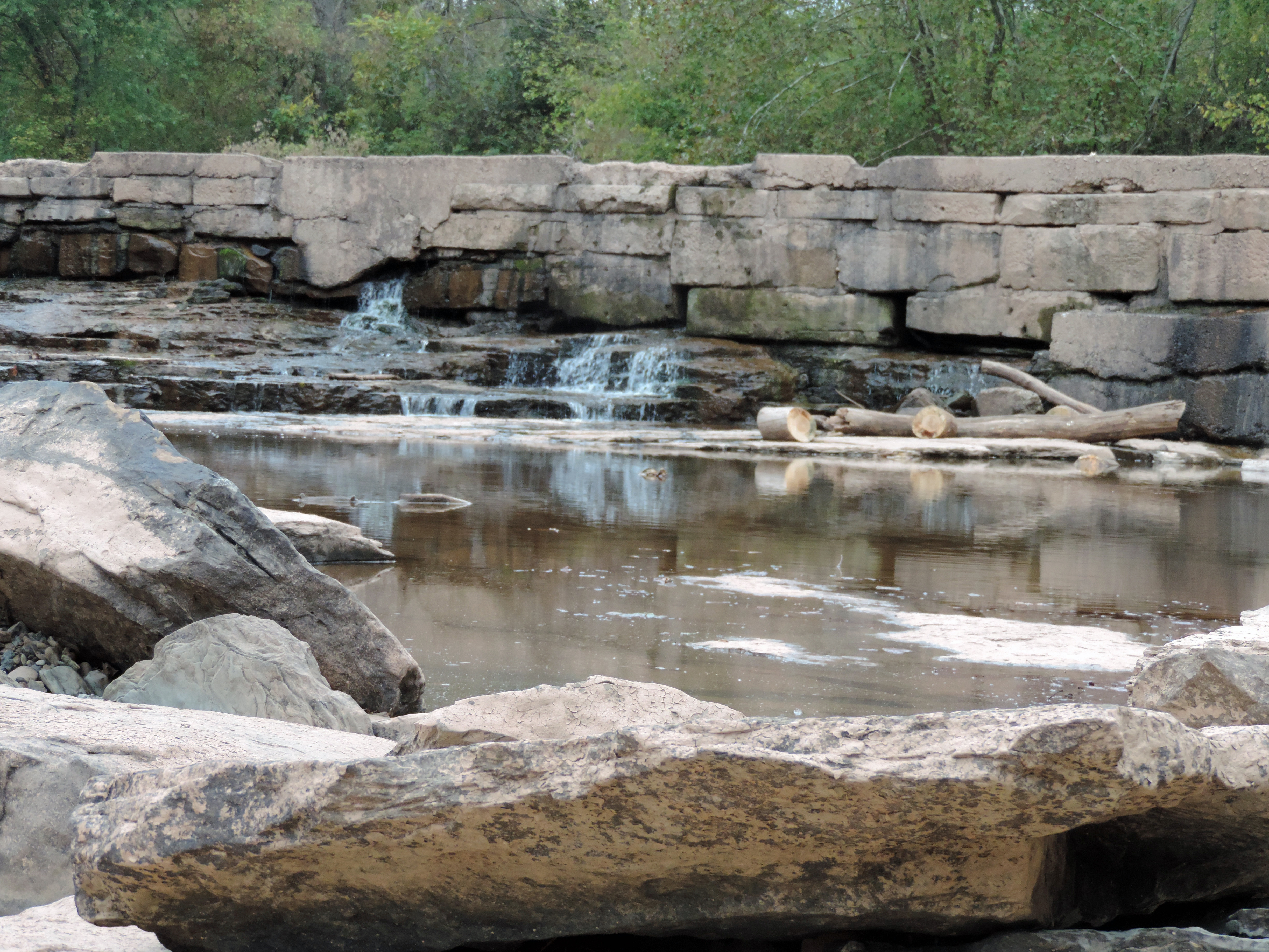
MIddle Island Creek at the Jug
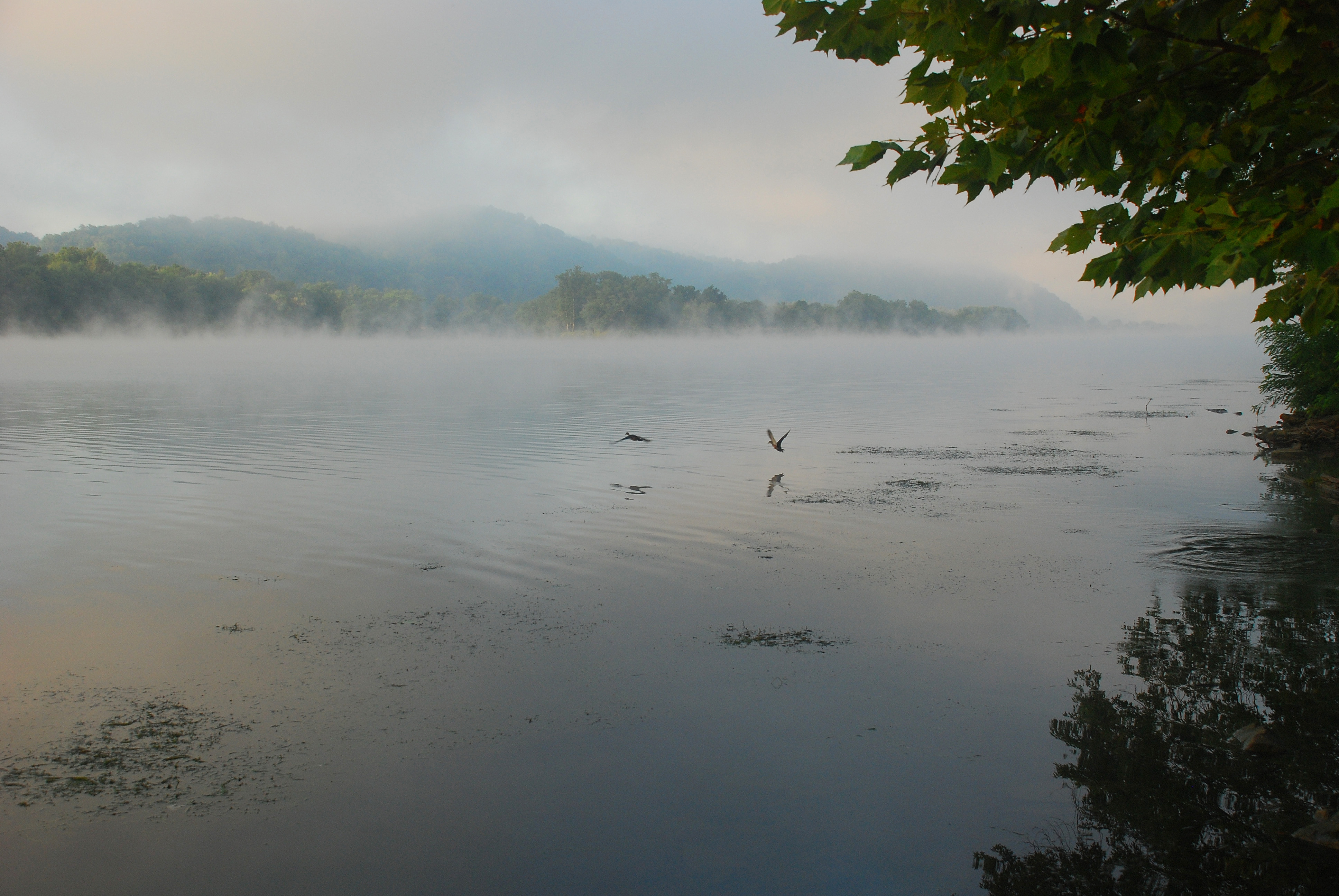
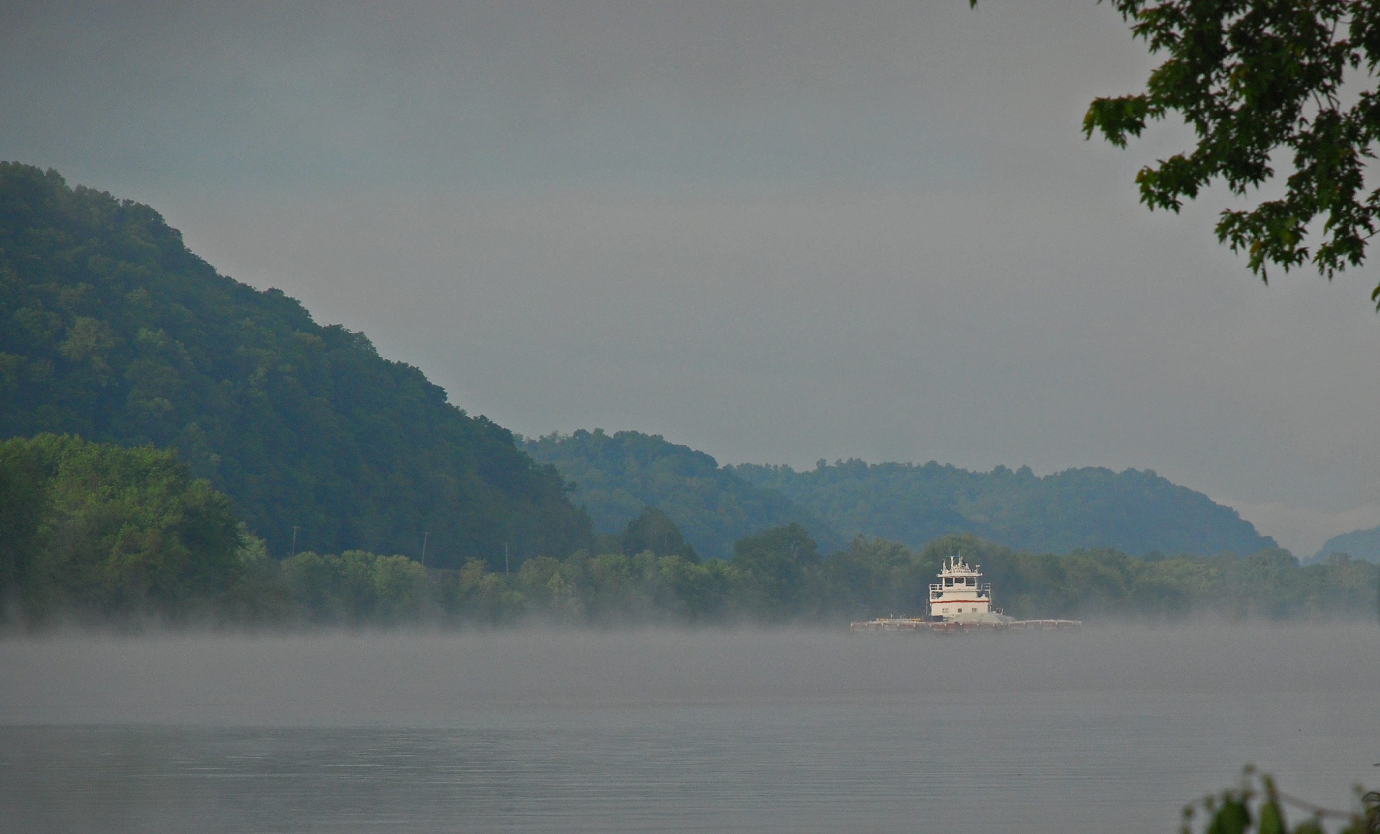
Foggy Ohio River Sunrise

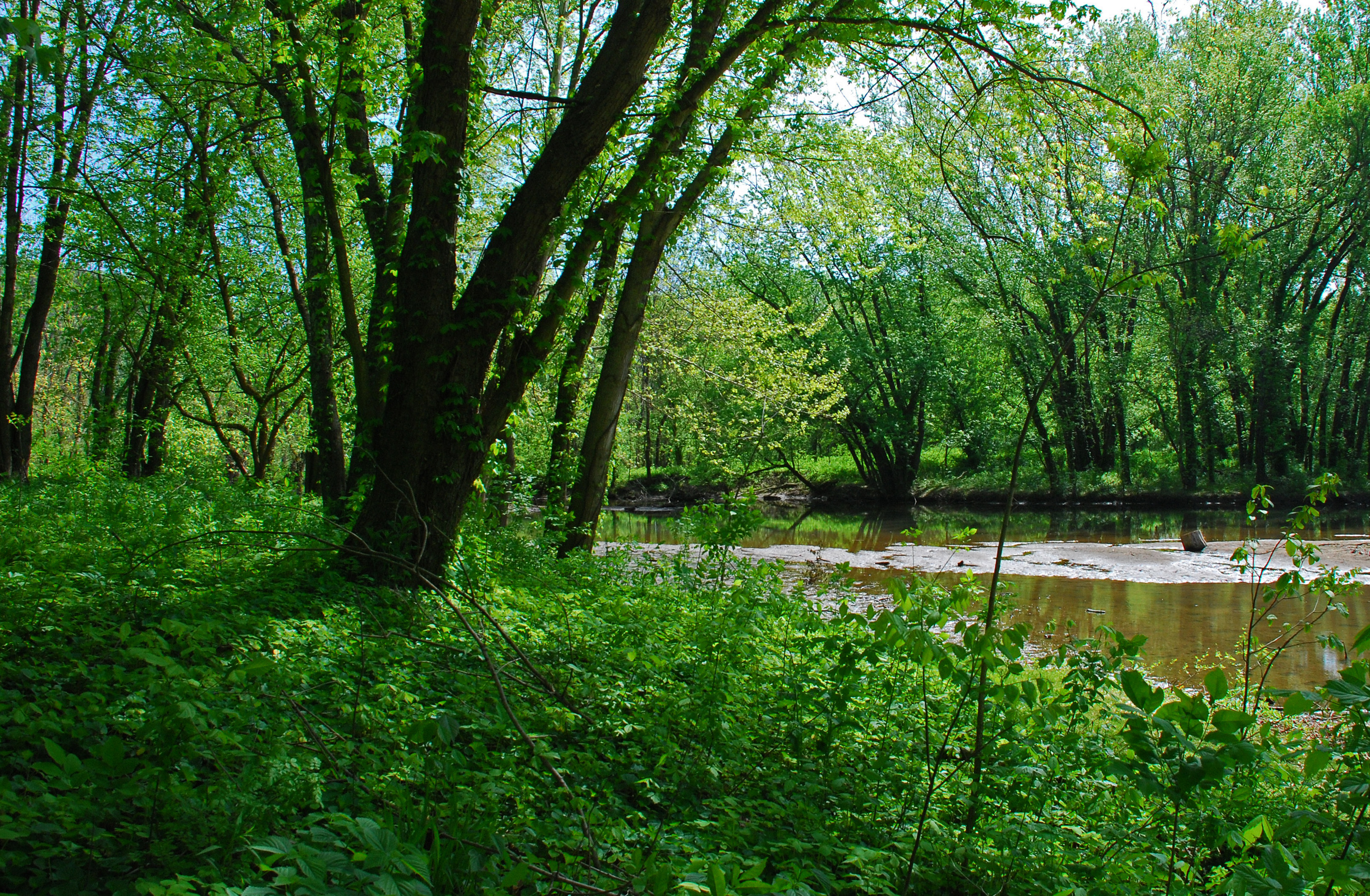
Looking Up the Creek
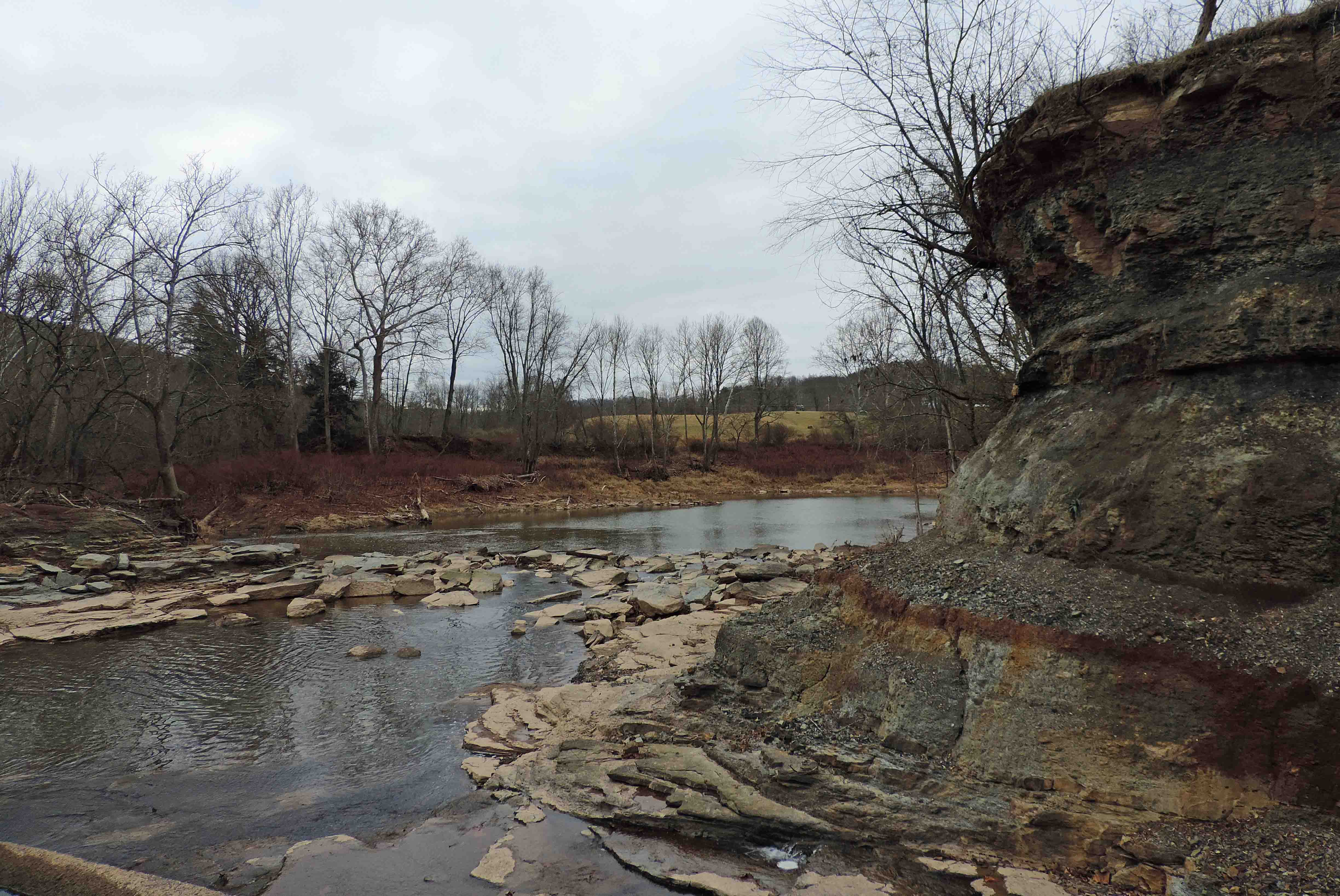
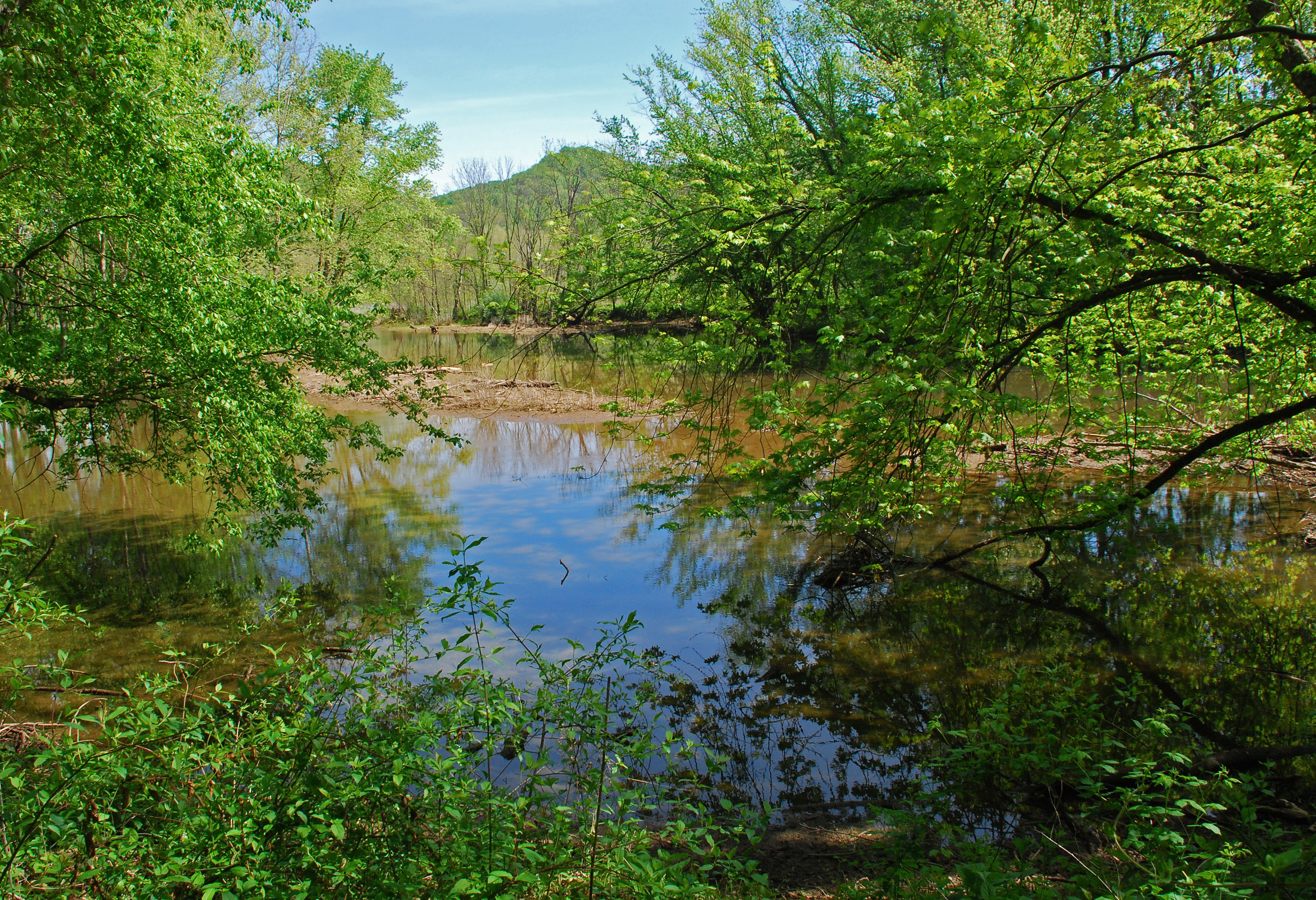
Down Middle Island Creek
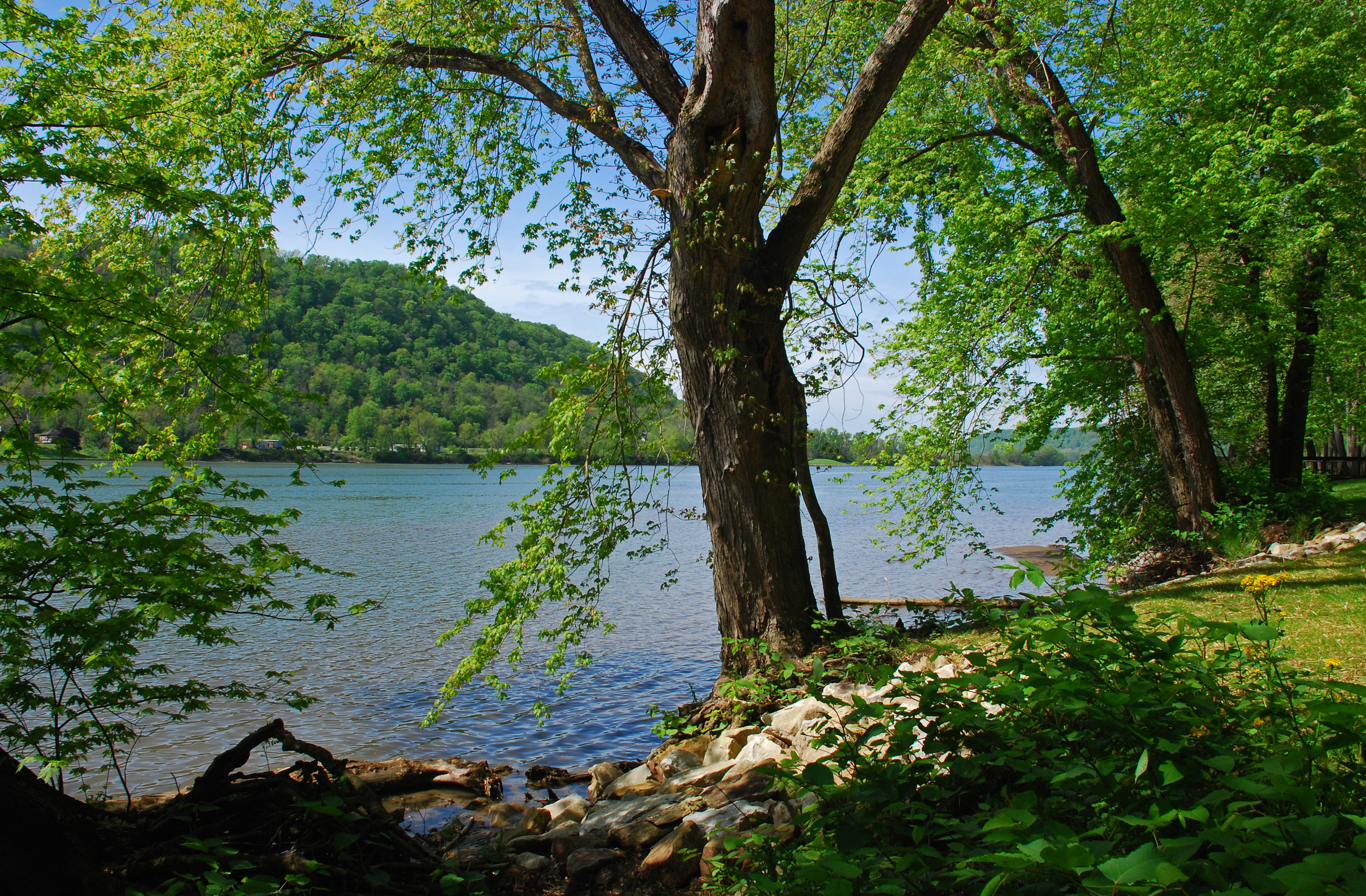
Mail Pouch Spring Landscape

Leith Run Spring Landscape
Leith Run Spring Landscape

Bales of Hay and Broken Down Barn
Leith Run Spring Landscape
Leith Run Spring Landscape
Leith Run Spring Landscape
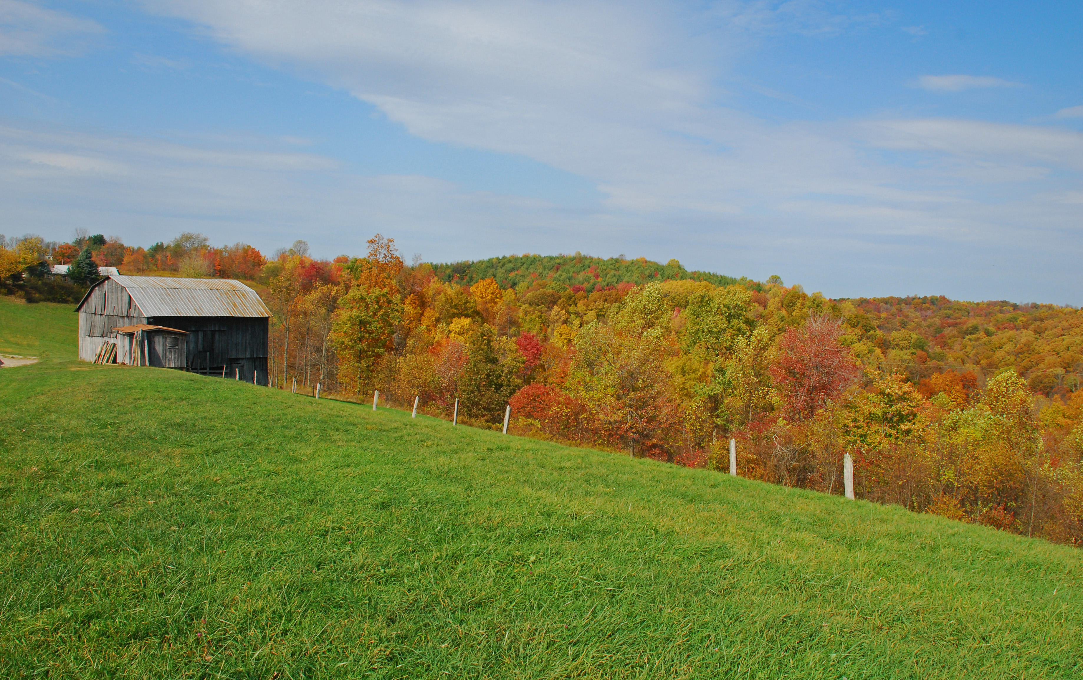
Fall 2010 Colors From Ohio Route 260
Topographic Map of Friendly, WV, USA
Find elevation by address:

Places in Friendly, WV, USA:
Places near Friendly, WV, USA:
Matamoras
New Matamoras
Grandview Township
Central
Rinard Mills Rd, New Matamoras, OH, USA
Beech Run, Friendly, WV, USA
D
750 Pleasant Ridge Rd
OH-, New Matamoras, OH, USA
Co Rte 3/11, Bens Run, WV, USA
Ludlow Township
Township Road 34
Wick
St. Marys High School
Willie St, St Marys, WV, USA
Middlebourne
Pleasants County
North
Saint Marys
Recent Searches:
- Elevation of Corso Fratelli Cairoli, 35, Macerata MC, Italy
- Elevation of Tallevast Rd, Sarasota, FL, USA
- Elevation of 4th St E, Sonoma, CA, USA
- Elevation of Black Hollow Rd, Pennsdale, PA, USA
- Elevation of Oakland Ave, Williamsport, PA, USA
- Elevation of Pedrógão Grande, Portugal
- Elevation of Klee Dr, Martinsburg, WV, USA
- Elevation of Via Roma, Pieranica CR, Italy
- Elevation of Tavkvetili Mountain, Georgia
- Elevation of Hartfords Bluff Cir, Mt Pleasant, SC, USA