Elevation map of Sanpete County, UT, USA
Location: United States > Utah >
Longitude: -111.57067
Latitude: 39.3090085
Elevation: 1985m / 6512feet
Barometric Pressure: 80KPa
Elevation Map:
Satellite Map:
Related Photos:

A zombie's view of a piano in music tech.

Jumping for Friday night!

Manti Temple Southern View

Jeeper Kids

Manti Temple
View of Sanpete Valley from Manti Utah Temple, Manti, Utah
My view outside my Manti office

View of the bad boy

View of the day

Maps.
Southern Wasatch Range
Two Masks
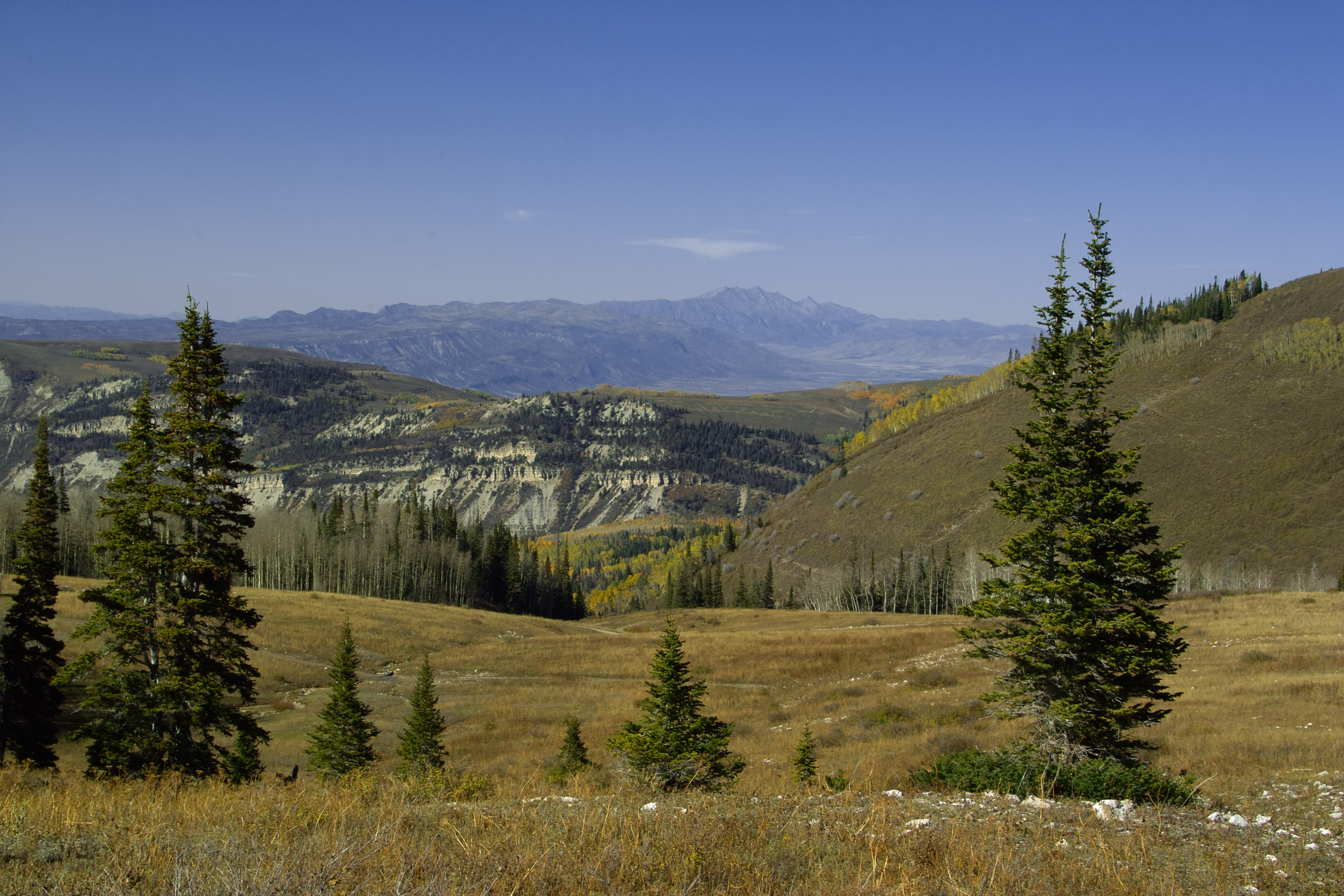
Cross-Valley View

Out for a cruise
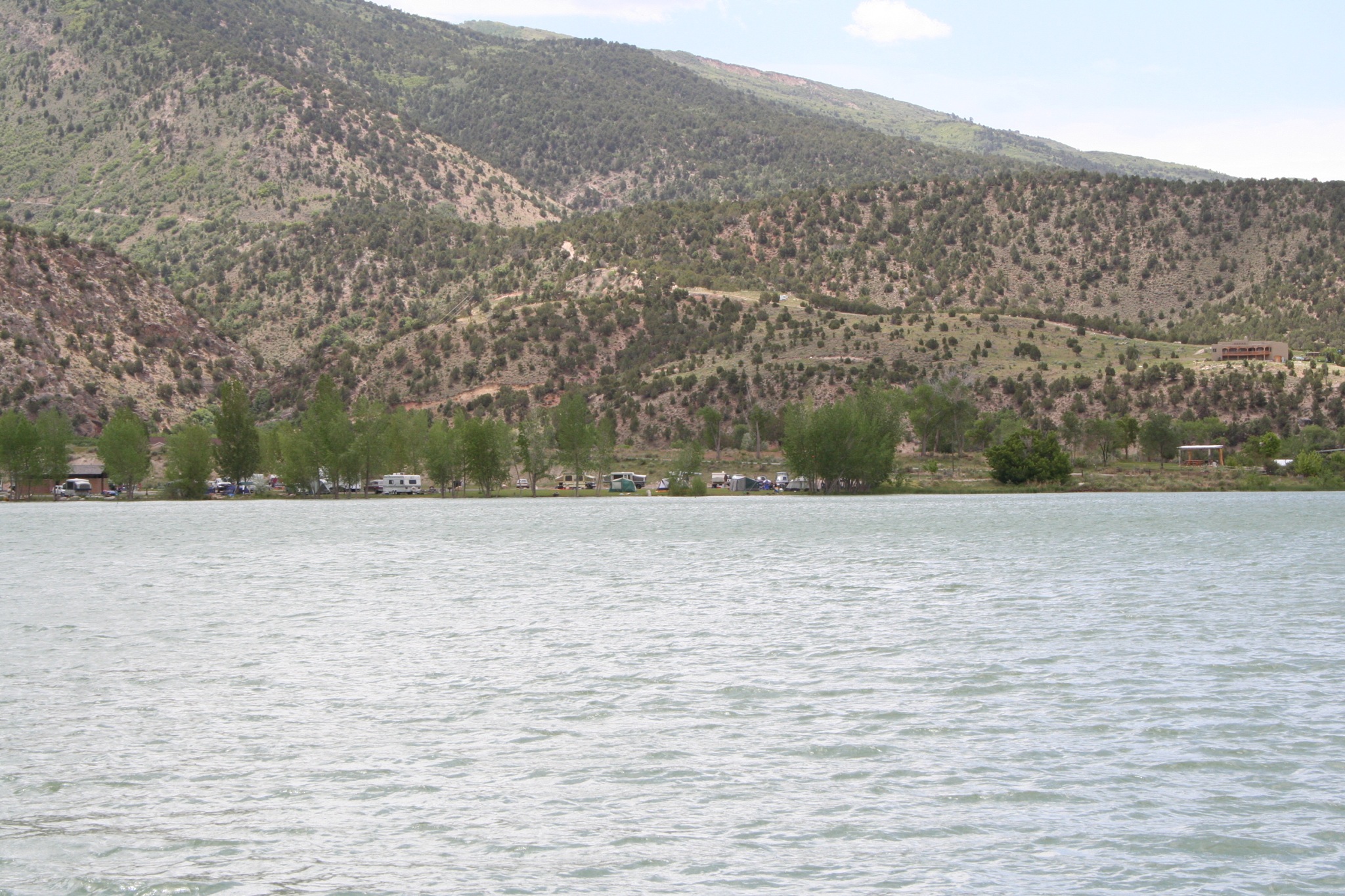
Campsite from accross Palisade lake
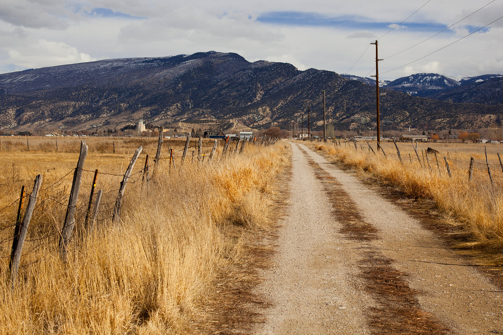
I took the back way home ~Explore~

Victory Sunset
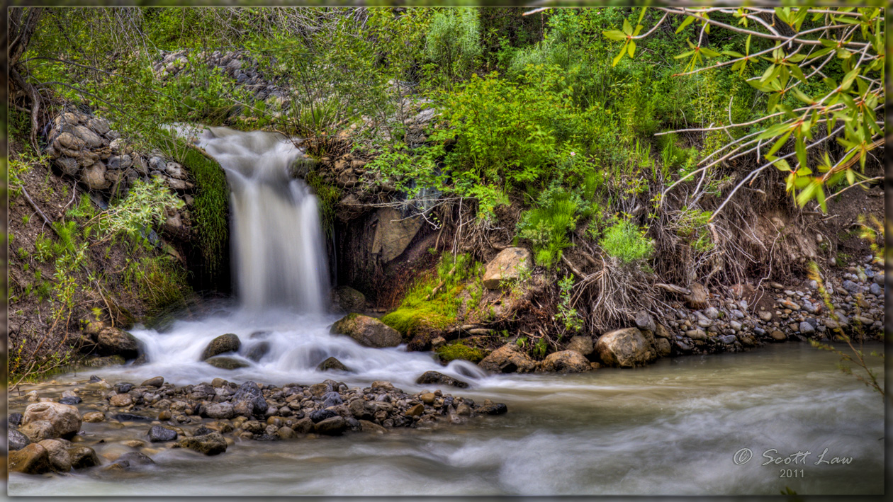
Merging Creeks
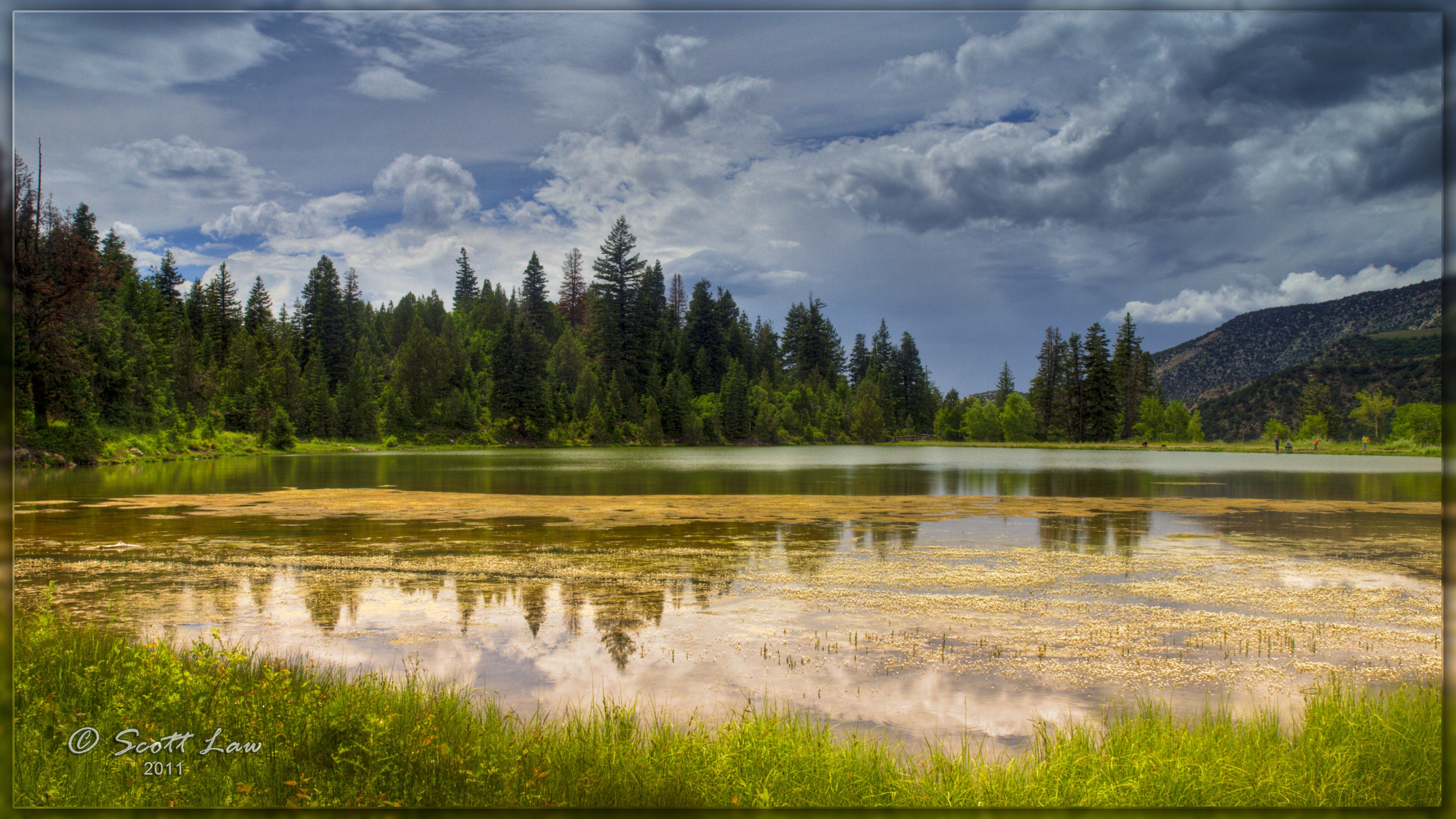
Yearns Resevoir

Keep on Driving

Cat cloud is chasing chicken cloud.

Manti Utah LDS Temple

Manti Temple. . .
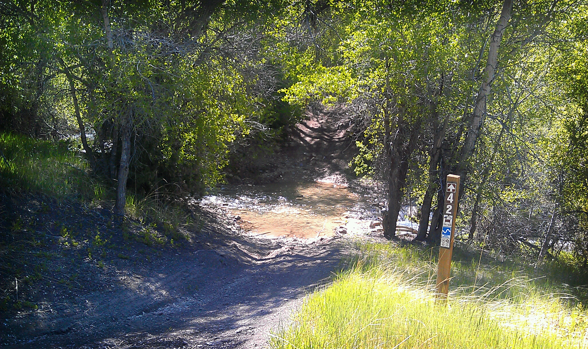
Saddle Trail

castles in the sky

Only shadows are clear.

bonneville salt flats
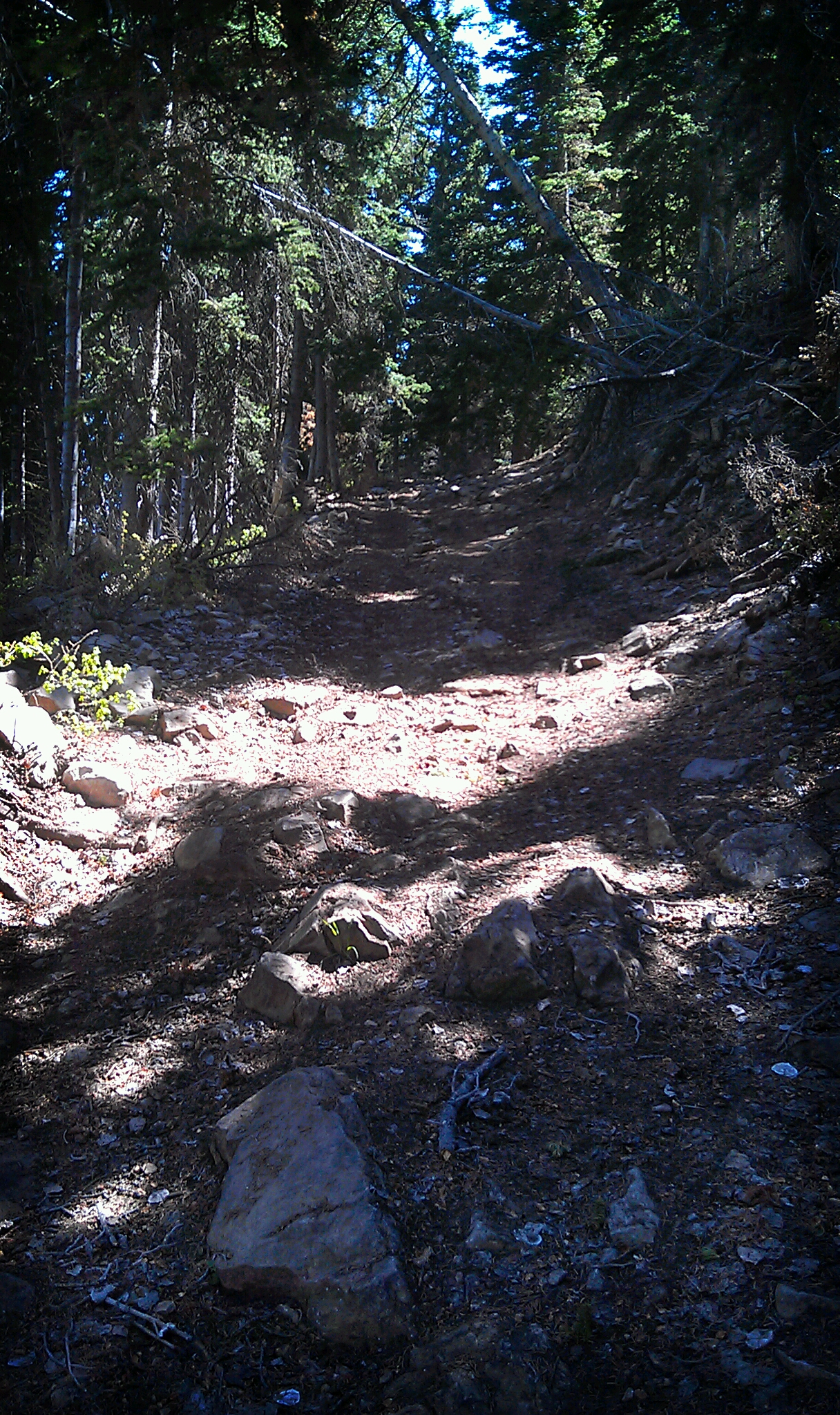
Saddle Trail

walking away
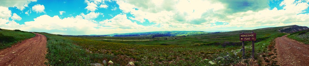
Panorama of Horseshoe Flat

Pumpkin jump?

Open Road

Post barbeque jumpshot

Family portrait :)
Fire in the sky
Topographic Map of Sanpete County, UT, USA
Find elevation by address:

Places in Sanpete County, UT, USA:
Places near Sanpete County, UT, USA:
5 S Main St, Ephraim, UT, USA
Ephraim
Yearns Reservoir
The Church Of Jesus Christ Of Latter-day Saints
Manti
Gunnison
Axtell
Salina
Ferron
Aurora
W Center St, Scipio, UT, USA
Sevier County
55 N, Sigurd, UT, USA
UT-24, Sigurd, UT, USA
Sigurd
1000 N Main St
Richfield
Fish Lake
Pvxw+rv
West Center Street
Recent Searches:
- Elevation of Corso Fratelli Cairoli, 35, Macerata MC, Italy
- Elevation of Tallevast Rd, Sarasota, FL, USA
- Elevation of 4th St E, Sonoma, CA, USA
- Elevation of Black Hollow Rd, Pennsdale, PA, USA
- Elevation of Oakland Ave, Williamsport, PA, USA
- Elevation of Pedrógão Grande, Portugal
- Elevation of Klee Dr, Martinsburg, WV, USA
- Elevation of Via Roma, Pieranica CR, Italy
- Elevation of Tavkvetili Mountain, Georgia
- Elevation of Hartfords Bluff Cir, Mt Pleasant, SC, USA