Elevation of Moroni, UT, USA
Location: United States > Utah > Sanpete County >
Longitude: -111.59047
Latitude: 39.5249615
Elevation: 1685m / 5528feet
Barometric Pressure: 83KPa
Elevation Map:
Satellite Map:
Related Photos:

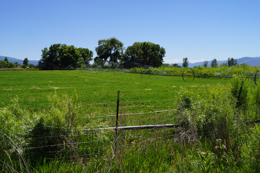
Friday drive

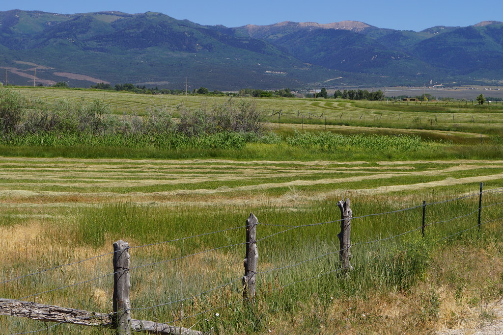
Mnt. Pleasant
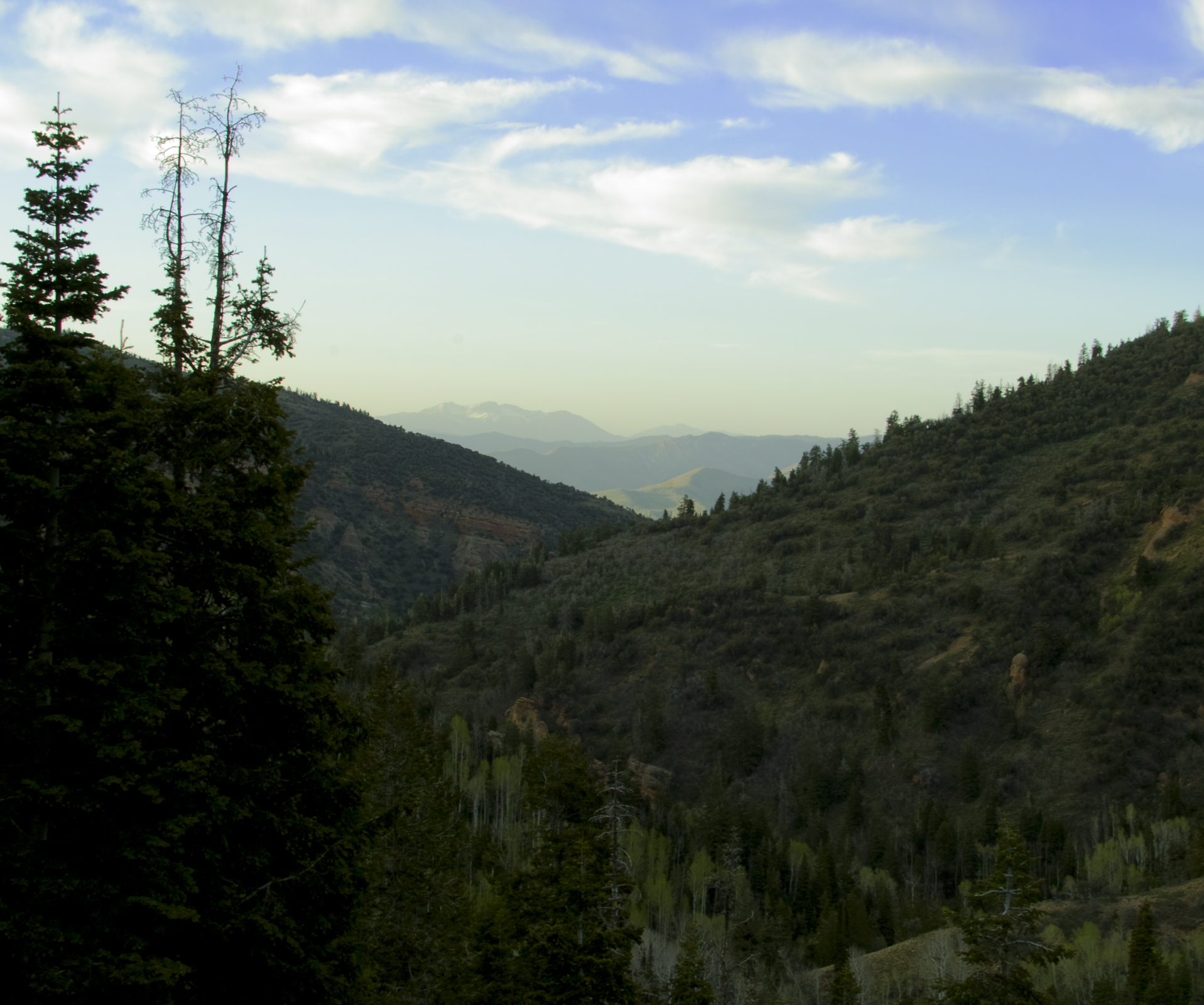
Log Canyon View

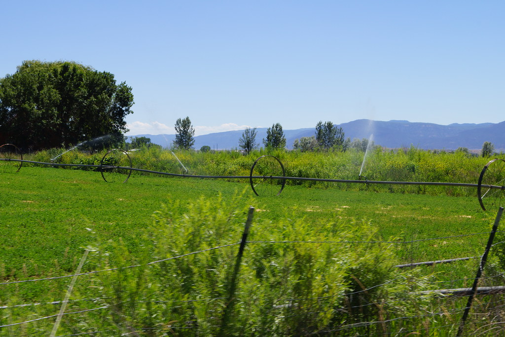
Staying Green
Maple Syrup

My Land in Mt. Pleasant Utah
My Land in Mt. Pleasant Utah
My Land in Mt. Pleasant Utah
My Land in Mt. Pleasant Utah
My Land in Mt. Pleasant Utah

Infrared Starwheel near Spring City

In Silent Reproach

A Memory of Bright Days

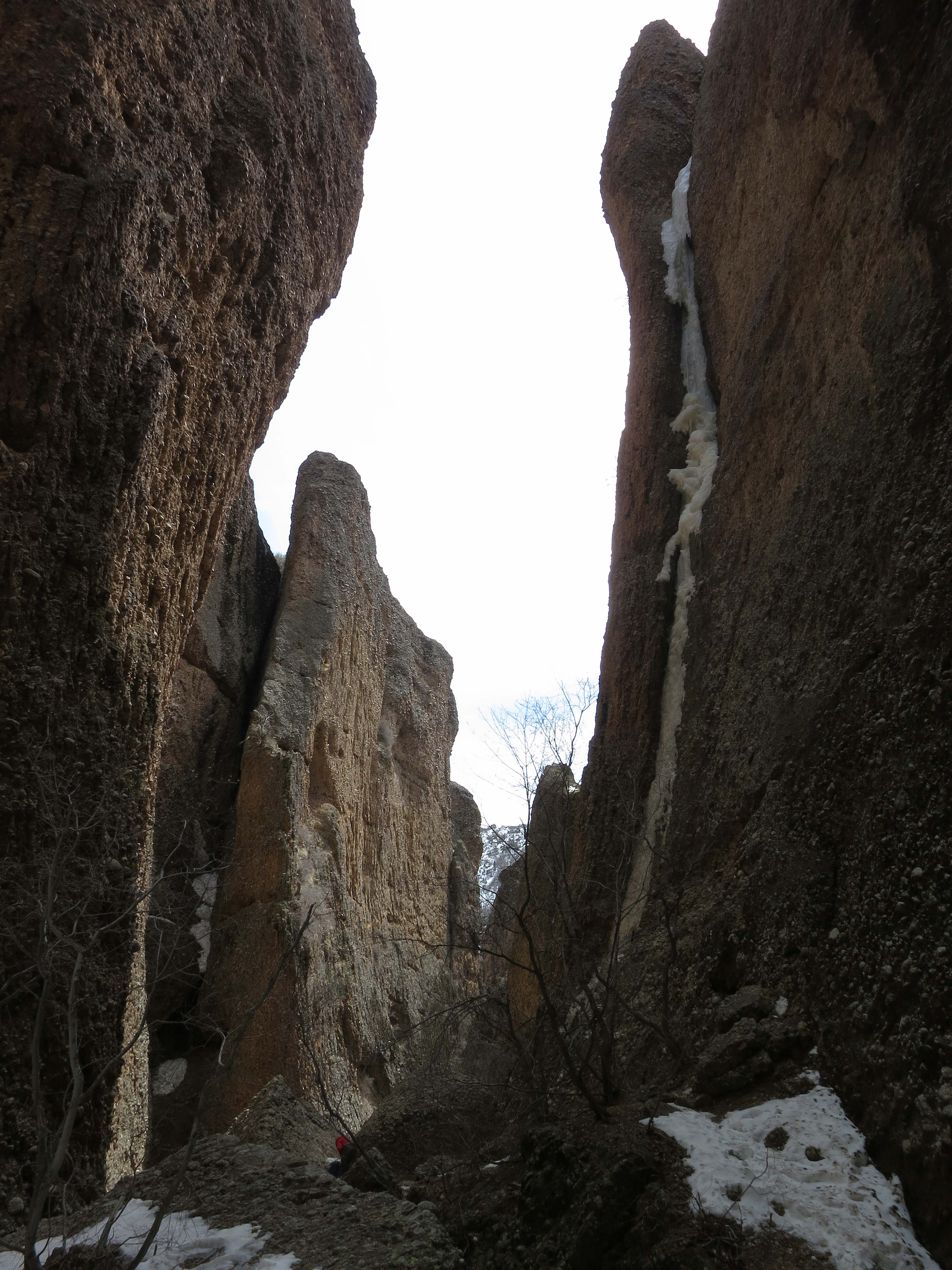
Crossing the Draw, Lower Wales Canyon
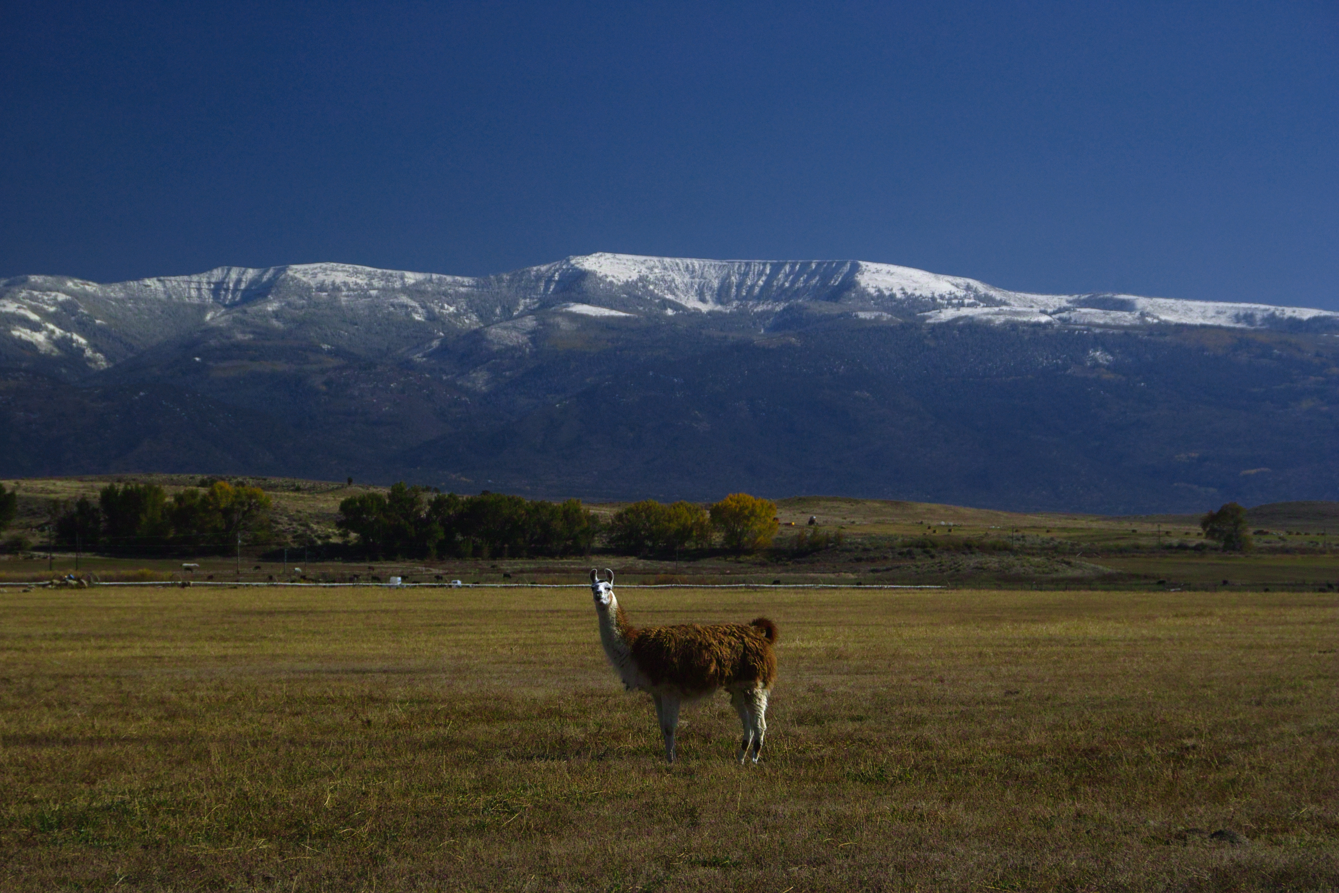
Alert Under the Mountain

The Shooting Bins

On Watch

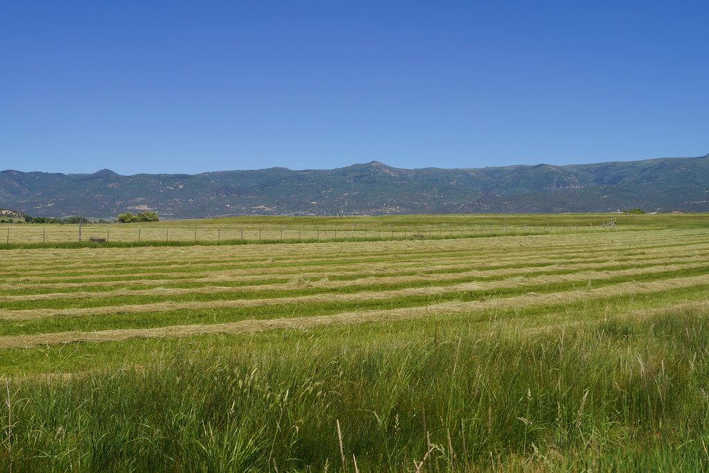
Rolls of Hay - A closer look
Country Road

Interior Decor

Ephraim, Sanpete County, Utah

Mirrored Trees

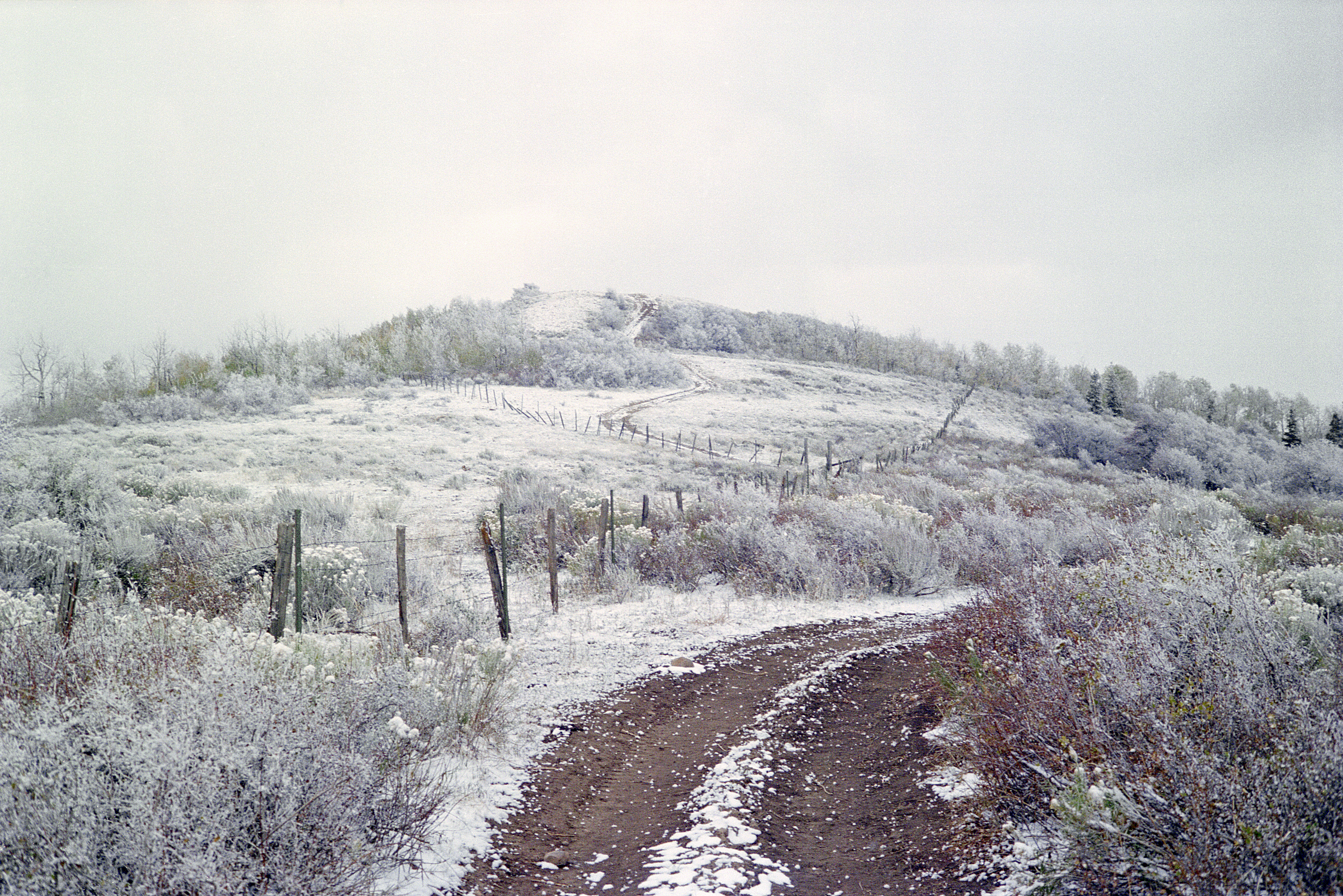
Road Above Spring City
Topographic Map of Moroni, UT, USA
Find elevation by address:

Places near Moroni, UT, USA:
265 E 100 S
76 E Center St
Spring City
E N, Mt Pleasant, UT, USA
540 S 700 E
1100 S Medical Dr
19 N State St, Mt Pleasant, UT, USA
Mount Pleasant
Fairview
15215 N 12650
Big Mountain Campground
Mt Pleasant, UT, USA
Levan
143 S 200 W
143 S 200 W
Fairview, UT, USA
337 S 200 W
Nephi
Mount Nebo
Flat Canyon Campground
Recent Searches:
- Elevation of Corso Fratelli Cairoli, 35, Macerata MC, Italy
- Elevation of Tallevast Rd, Sarasota, FL, USA
- Elevation of 4th St E, Sonoma, CA, USA
- Elevation of Black Hollow Rd, Pennsdale, PA, USA
- Elevation of Oakland Ave, Williamsport, PA, USA
- Elevation of Pedrógão Grande, Portugal
- Elevation of Klee Dr, Martinsburg, WV, USA
- Elevation of Via Roma, Pieranica CR, Italy
- Elevation of Tavkvetili Mountain, Georgia
- Elevation of Hartfords Bluff Cir, Mt Pleasant, SC, USA