Elevation of E N, Mt Pleasant, UT, USA
Location: United States > Utah > Sanpete County > Spring City >
Longitude: -111.49080
Latitude: 39.482067
Elevation: 1792m / 5879feet
Barometric Pressure: 82KPa
Elevation Map:
Satellite Map:
Related Photos:
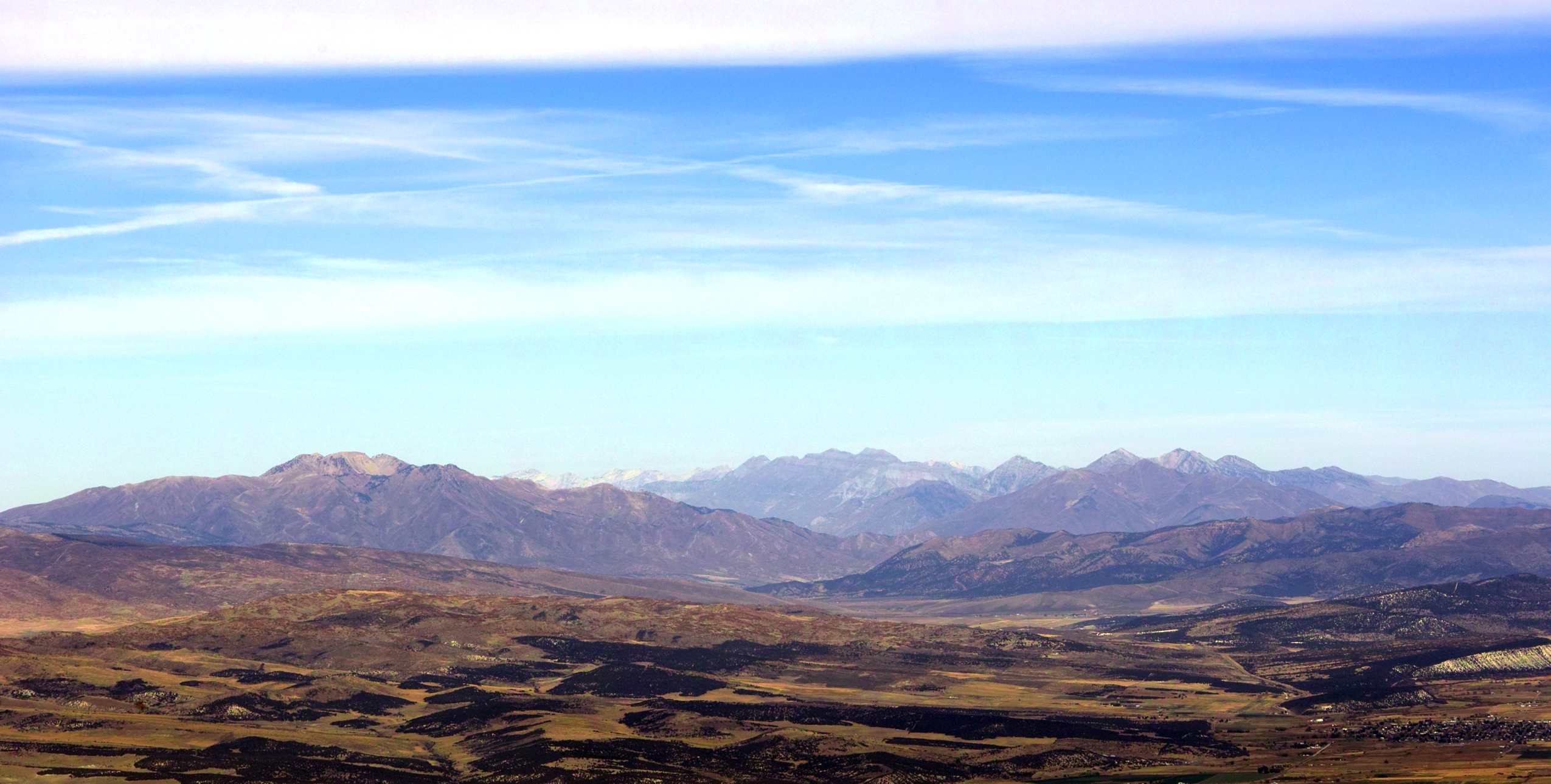
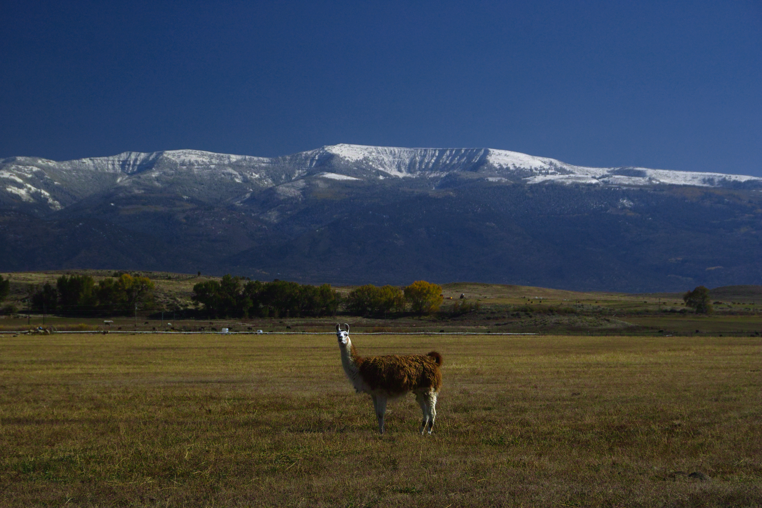
Southern Wasatch Range

A zombie's view of a piano in music tech.

Friday drive

Mnt. Pleasant

Maps.

In Silent Reproach

Sunset Outside Of Fairview, UT

A Memory of Bright Days

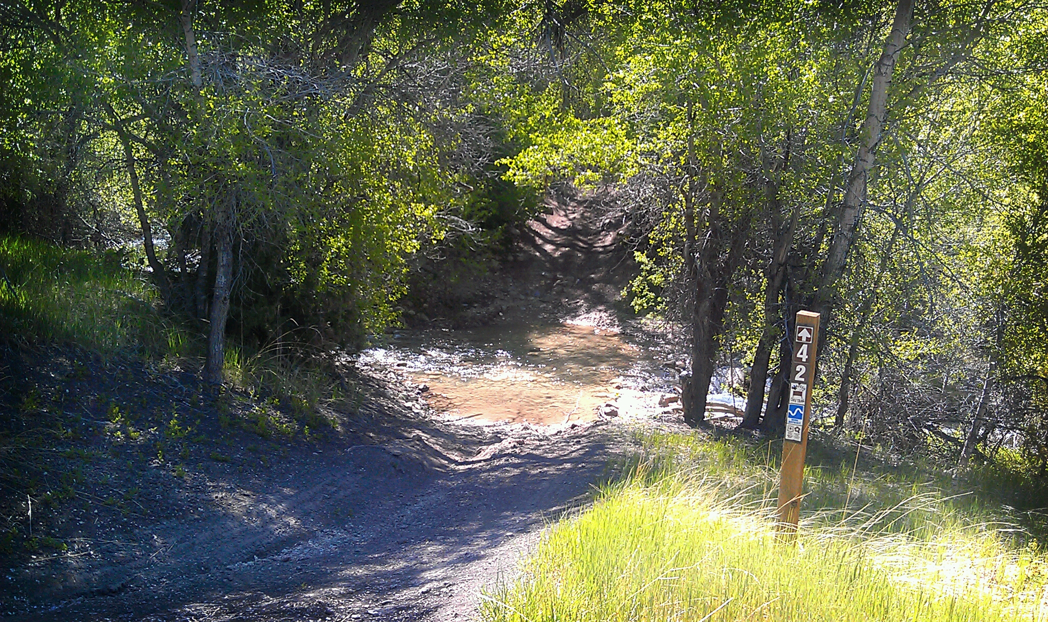
Crossing the Draw, Lower Wales Canyon

Cat cloud is chasing chicken cloud.

The Shooting Bins
Saddle Trail

On Watch

Rolls of Hay - A closer look

Only shadows are clear.

Mirrored Trees

Ephraim, Sanpete County, Utah
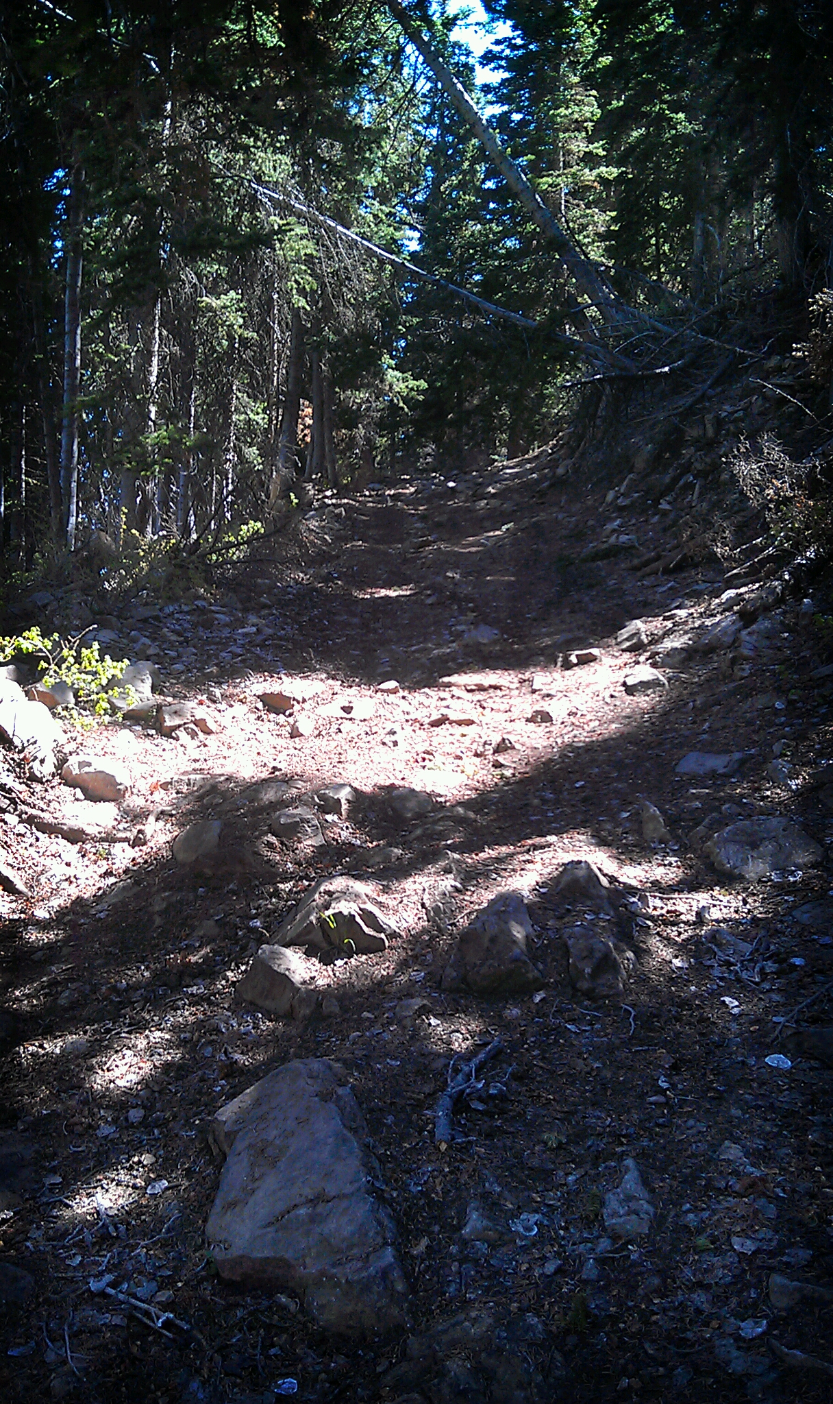
Saddle Trail

Road Above Spring City
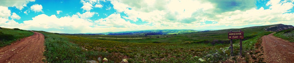
Panorama of Horseshoe Flat

A Brushing of Snow

Ephraim, Sanpete County, Utah

The cabin and its new roof
Alert Under the Mountain

My Land in Mt. Pleasant Utah

Saddle Trail
Topographic Map of E N, Mt Pleasant, UT, USA
Find elevation by address:

Places near E N, Mt Pleasant, UT, USA:
Spring City
540 S 700 E
1100 S Medical Dr
Mount Pleasant
19 N State St, Mt Pleasant, UT, USA
15215 N 12650
265 E 100 S
Moroni
76 E Center St
Fairview
Mt Pleasant, UT, USA
Flat Canyon Campground
Fairview, UT, USA
Big Mountain Campground
N E, Helper, UT, USA
Levan
143 S 200 W
143 S 200 W
337 S 200 W
Nephi
Recent Searches:
- Elevation of Corso Fratelli Cairoli, 35, Macerata MC, Italy
- Elevation of Tallevast Rd, Sarasota, FL, USA
- Elevation of 4th St E, Sonoma, CA, USA
- Elevation of Black Hollow Rd, Pennsdale, PA, USA
- Elevation of Oakland Ave, Williamsport, PA, USA
- Elevation of Pedrógão Grande, Portugal
- Elevation of Klee Dr, Martinsburg, WV, USA
- Elevation of Via Roma, Pieranica CR, Italy
- Elevation of Tavkvetili Mountain, Georgia
- Elevation of Hartfords Bluff Cir, Mt Pleasant, SC, USA