Elevation of 19 N State St, Mt Pleasant, UT, USA
Location: United States > Utah > Sanpete County > Mount Pleasant >
Longitude: -111.45557
Latitude: 39.5471793
Elevation: 1805m / 5922feet
Barometric Pressure: 81KPa
Elevation Map:
Satellite Map:
Related Photos:

Friday drive
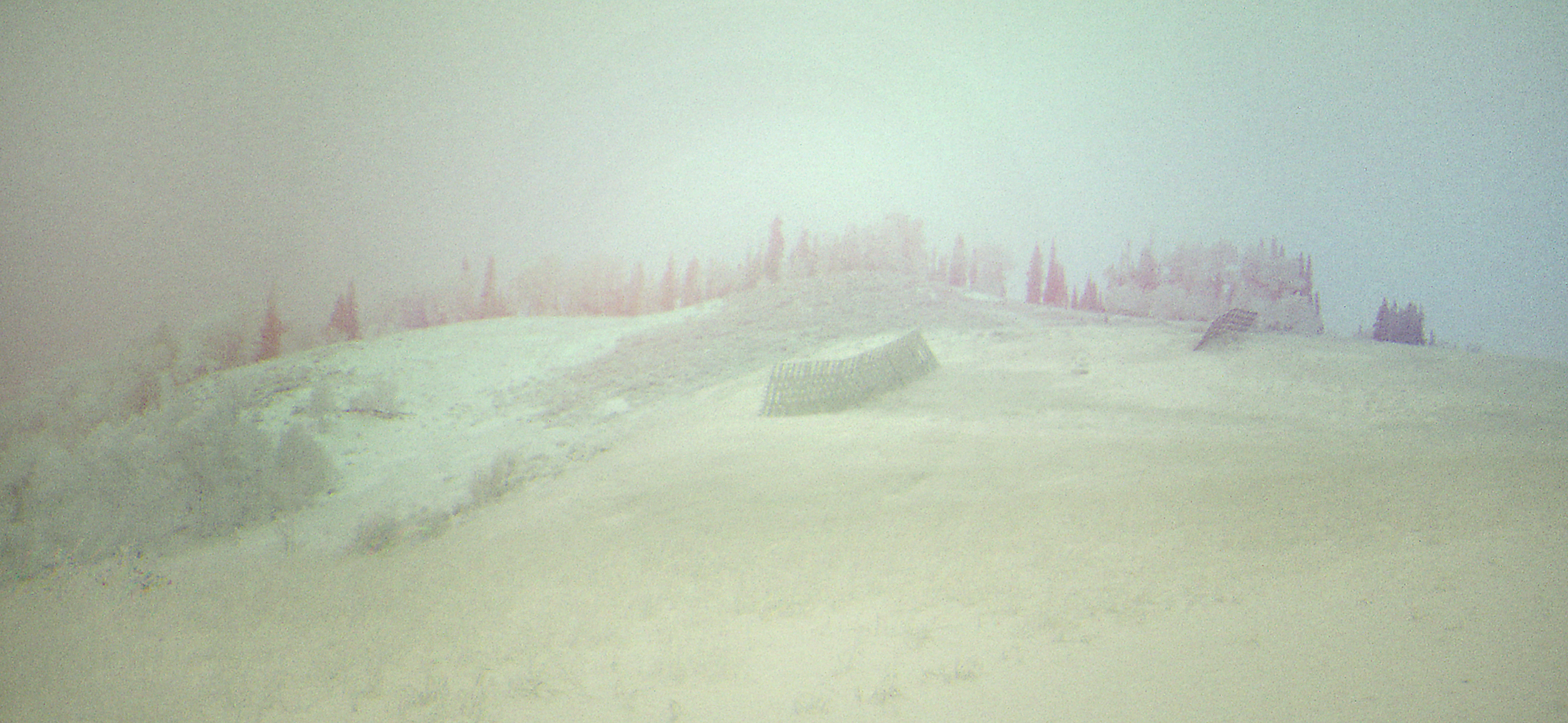
The Mists of Time

Mnt. Pleasant

Bugs View

Spring Break

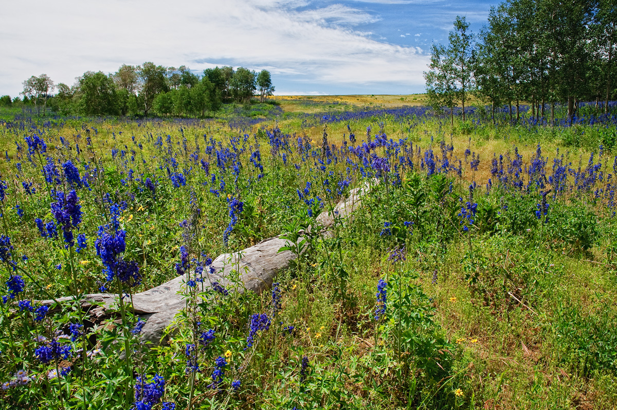
Staying Green
Mountain Meadow
Rest in Peace

A Brushing of Snow

A Memory of Bright Days
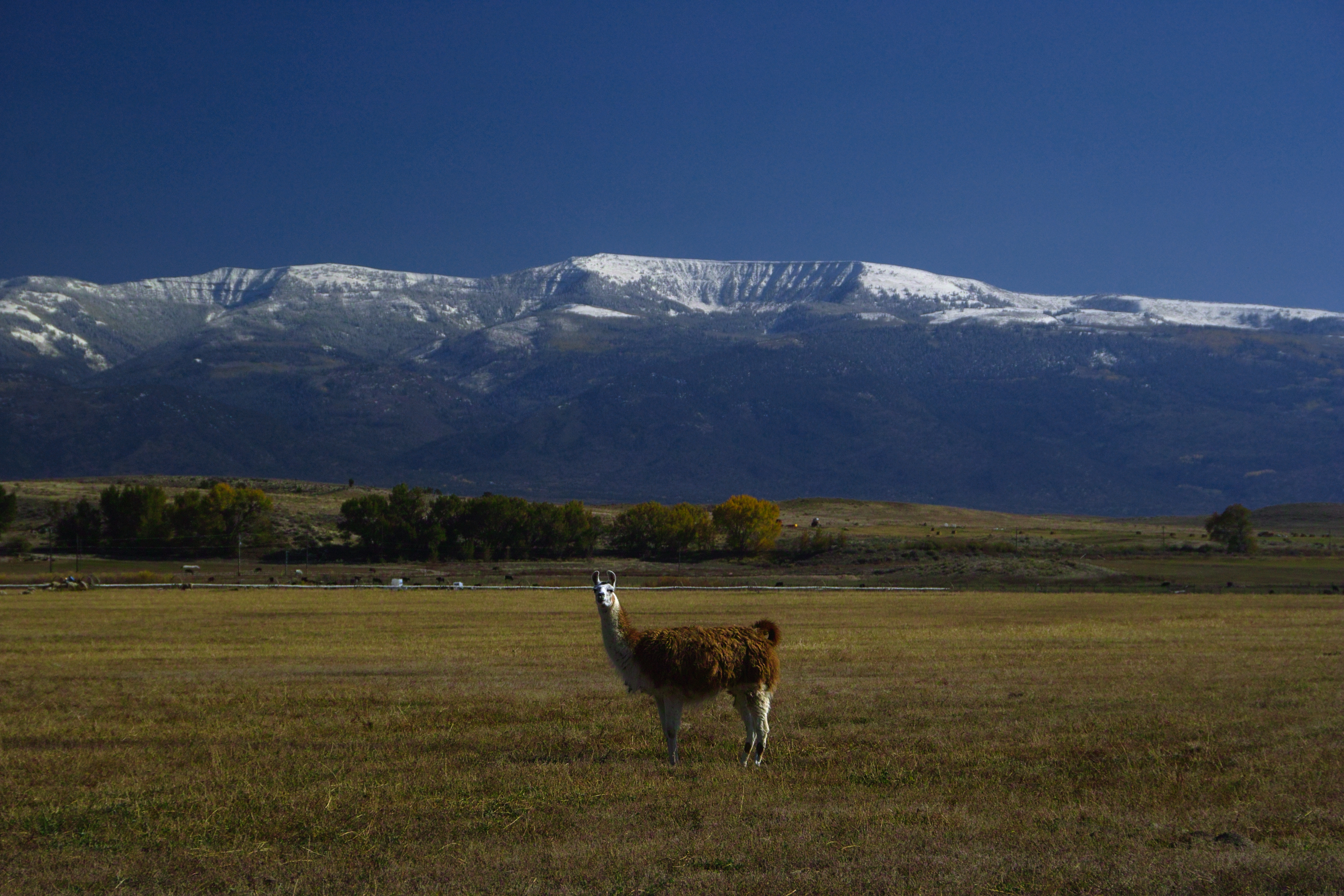
Alert Under the Mountain

The Shooting Bins
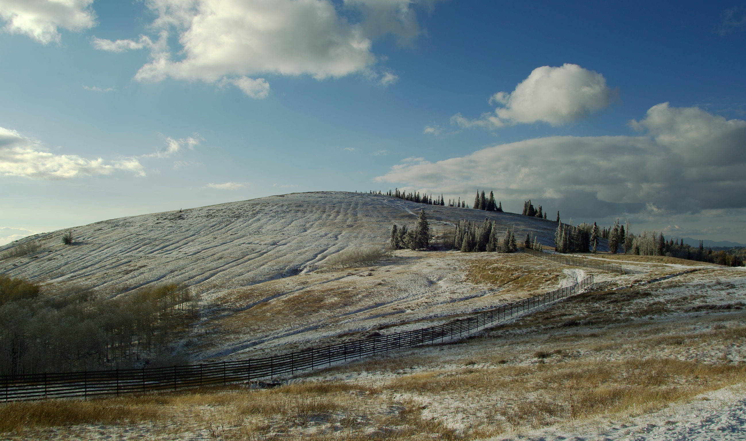
A Furrowed Hill

On Watch
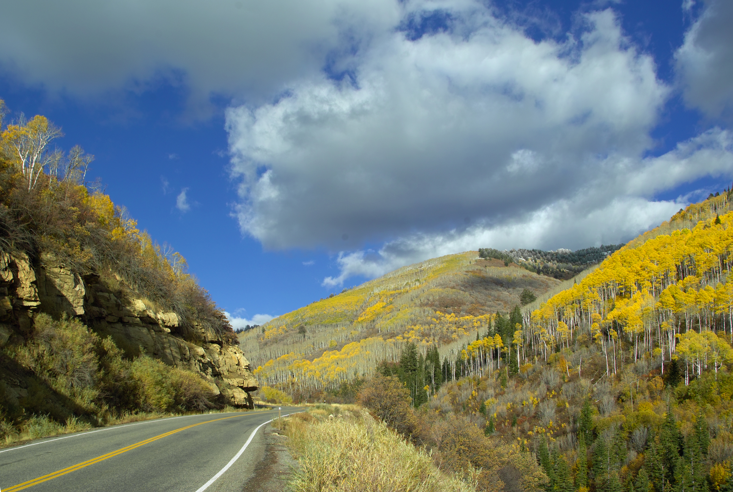
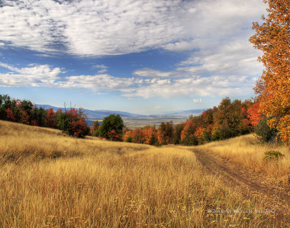
Fall Color in Fairview Canyon

The Process of Definition

Rolls of Hay - A closer look

In Silent Reproach
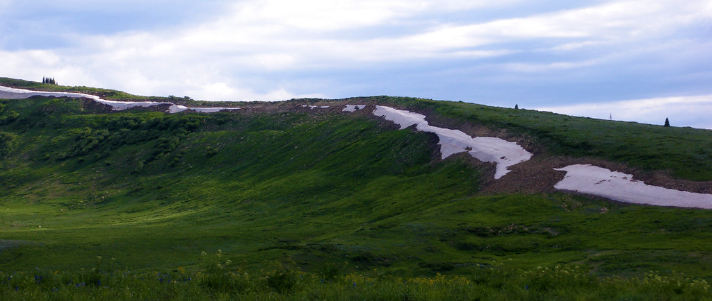
Snow in July

Ephraim, Sanpete County, Utah

In Retrospective

Mirrored Trees

Road Above Spring City

Ephraim, Sanpete County, Utah
Topographic Map of 19 N State St, Mt Pleasant, UT, USA
Find elevation by address:

Places near 19 N State St, Mt Pleasant, UT, USA:
Mount Pleasant
1100 S Medical Dr
E N, Mt Pleasant, UT, USA
15215 N 12650
Spring City
Fairview
540 S 700 E
265 E 100 S
Moroni
Mt Pleasant, UT, USA
76 E Center St
Flat Canyon Campground
Fairview, UT, USA
N E, Helper, UT, USA
Big Mountain Campground
US-89, Spanish Fork, UT, USA
Dry Valley Road
E South 89 Hwy, Fairview, UT, USA
Levan
Mount Nebo
Recent Searches:
- Elevation of Corso Fratelli Cairoli, 35, Macerata MC, Italy
- Elevation of Tallevast Rd, Sarasota, FL, USA
- Elevation of 4th St E, Sonoma, CA, USA
- Elevation of Black Hollow Rd, Pennsdale, PA, USA
- Elevation of Oakland Ave, Williamsport, PA, USA
- Elevation of Pedrógão Grande, Portugal
- Elevation of Klee Dr, Martinsburg, WV, USA
- Elevation of Via Roma, Pieranica CR, Italy
- Elevation of Tavkvetili Mountain, Georgia
- Elevation of Hartfords Bluff Cir, Mt Pleasant, SC, USA