Elevation of S Medical Dr, Mt Pleasant, UT, USA
| Latitude | 39.5313536 |
|---|---|
| Longitude | -111.4610433 |
| Elevation | 1801m / 5909feet |
| Barometric Pressure | 815KPa |
Related Photos:
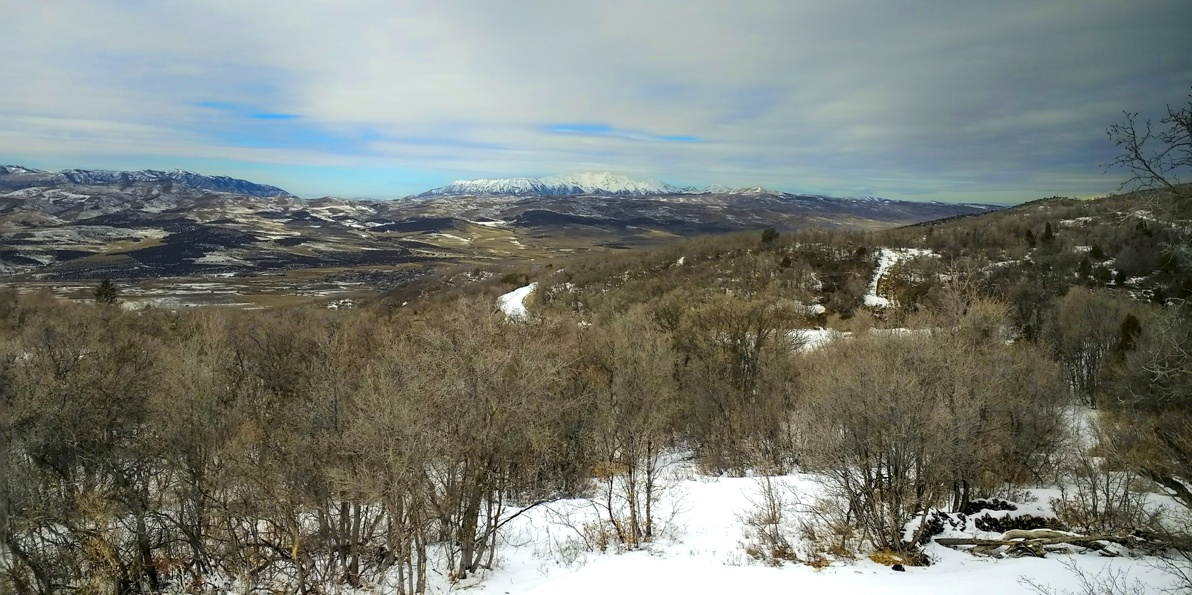
Mount Nebo on a winter's day
Sanpete Springtime

Mnt. Pleasant

Friday drive
View to Mount Nebo
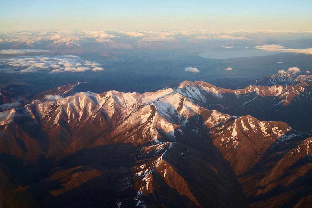
Out of Utah

Spring Break
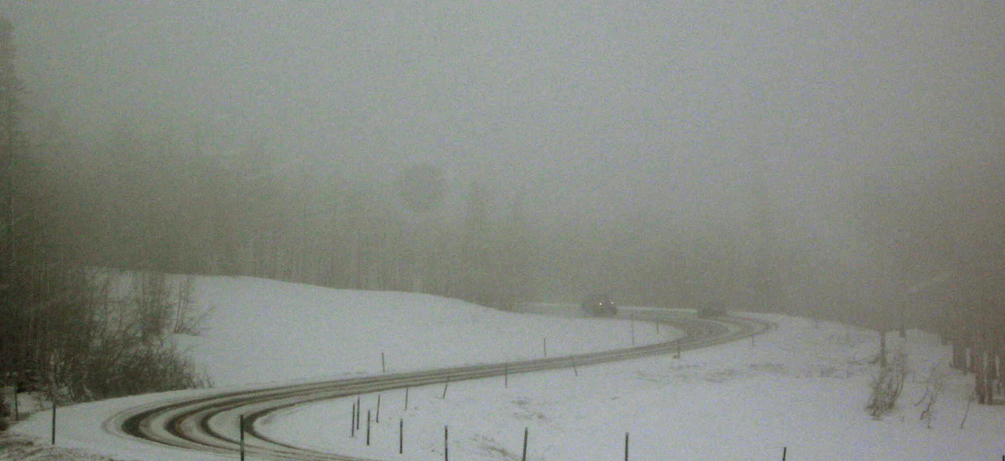
Plowing Downhill
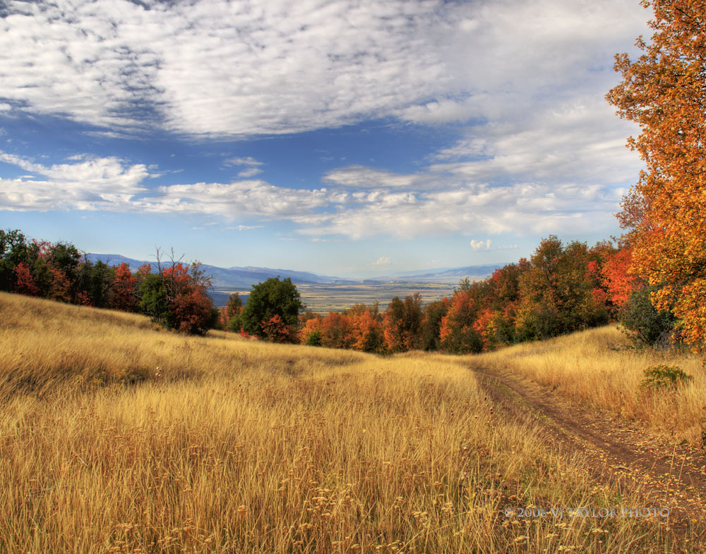
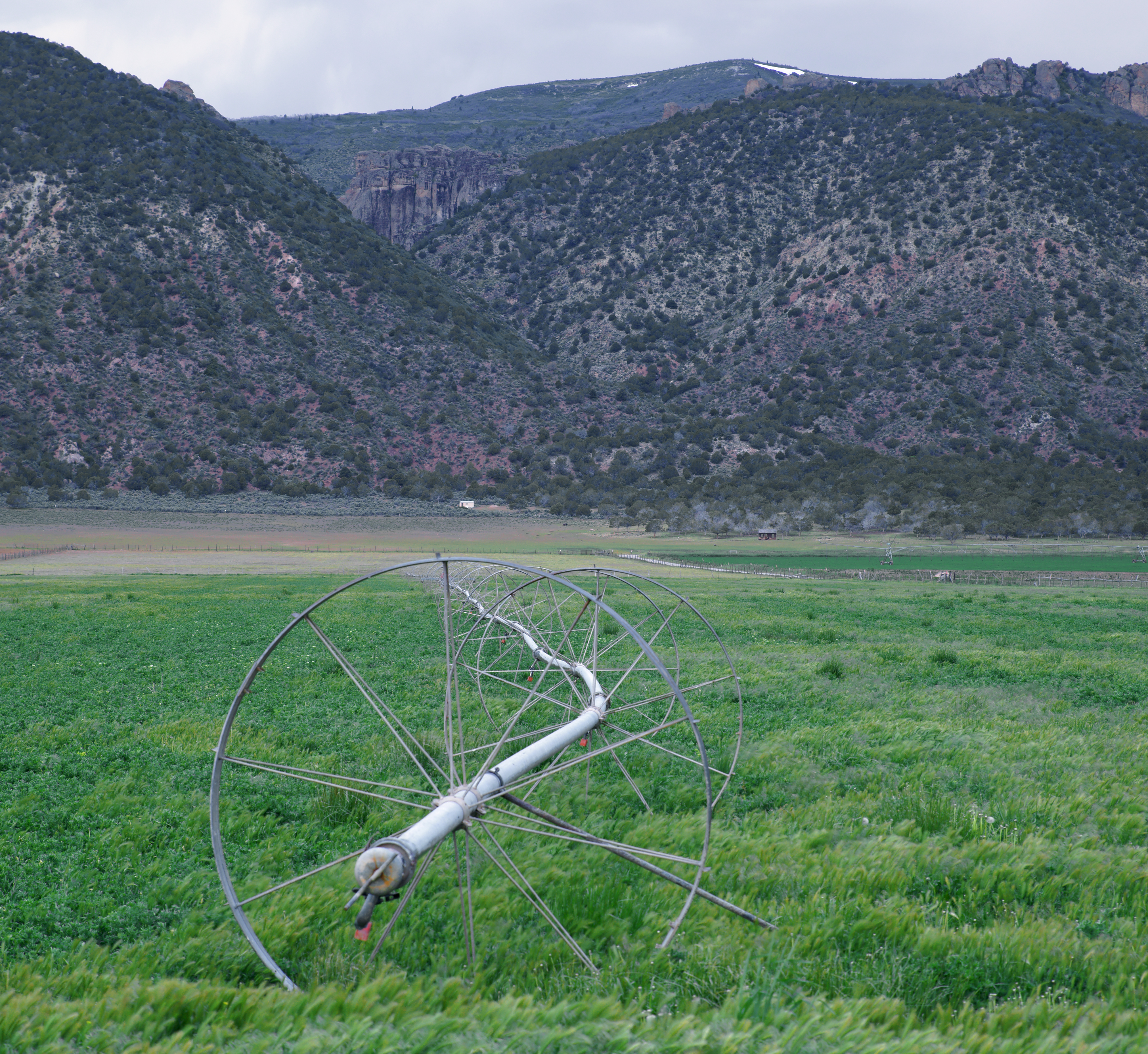
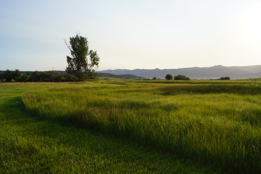
Mountain Meadow

In Silent Reproach
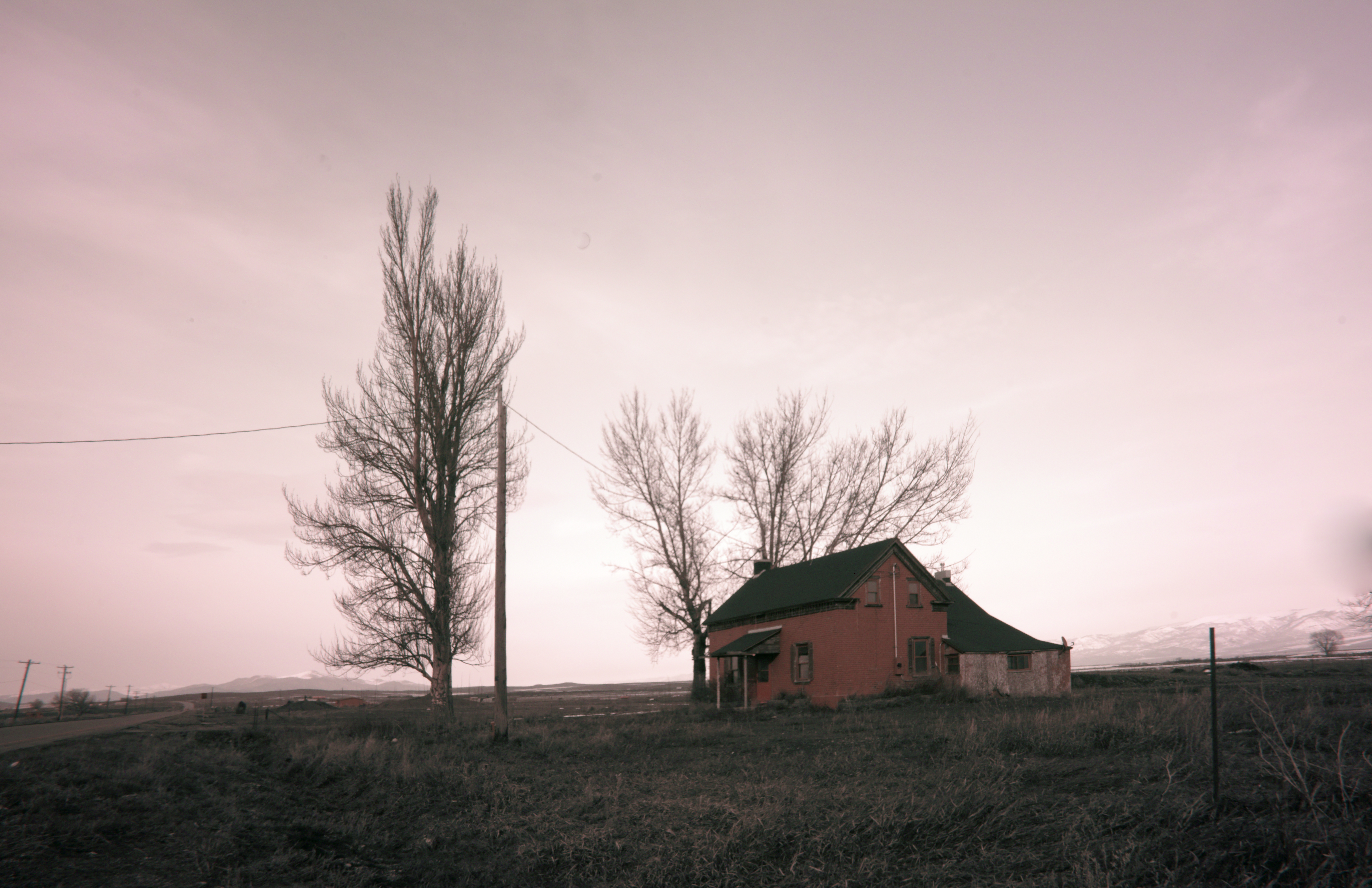
The Last House
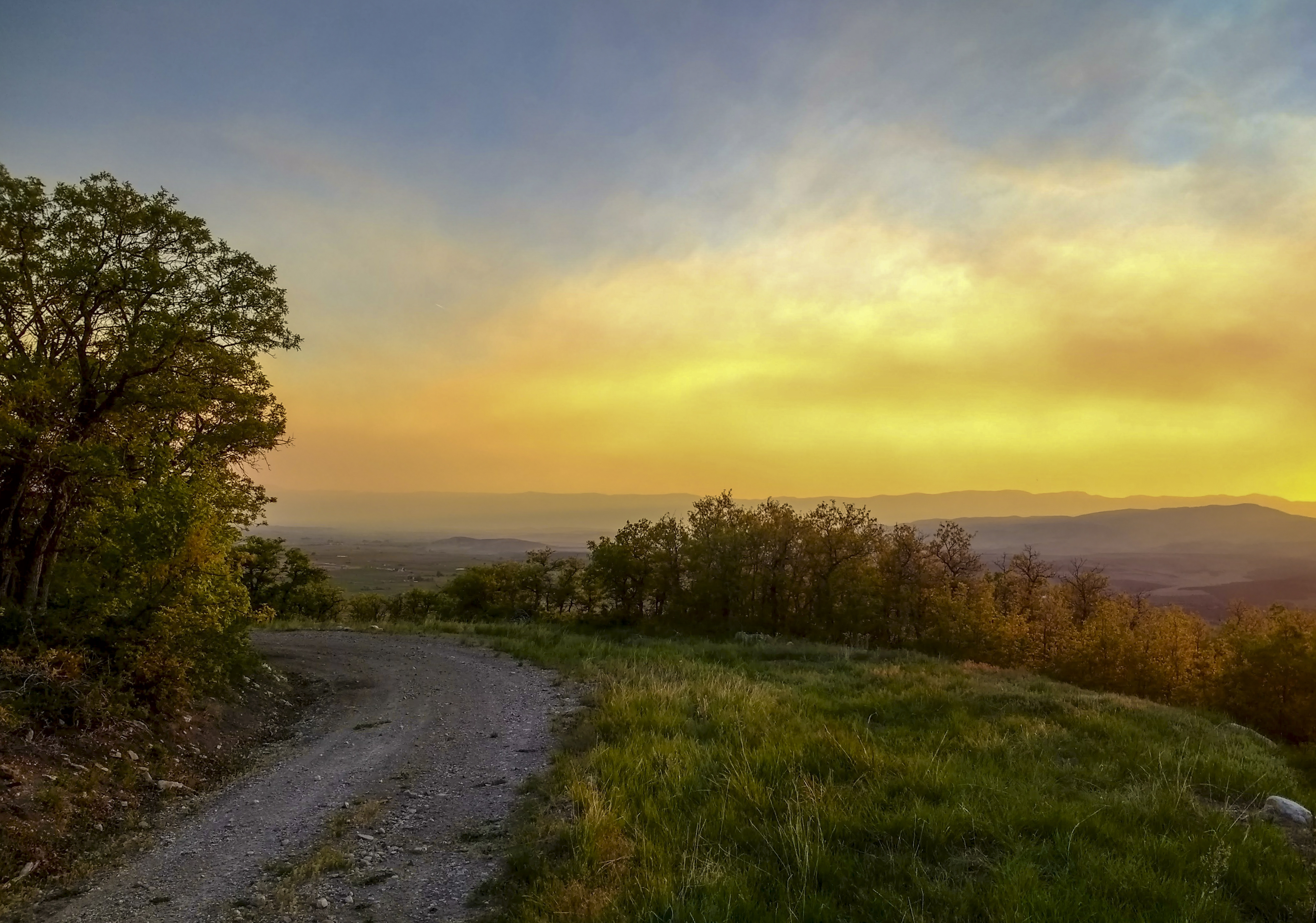
The road less taken
Future Bounty

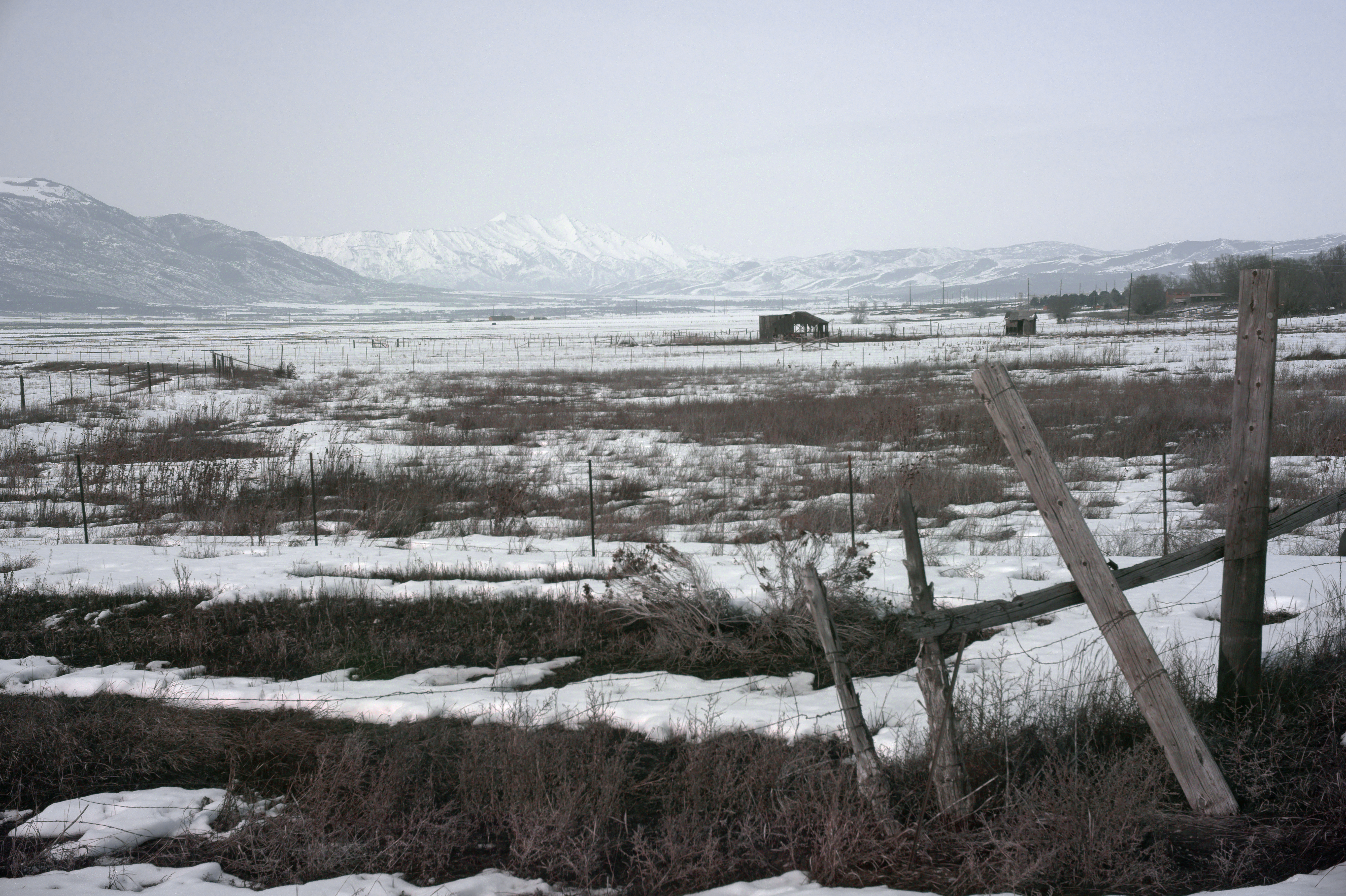
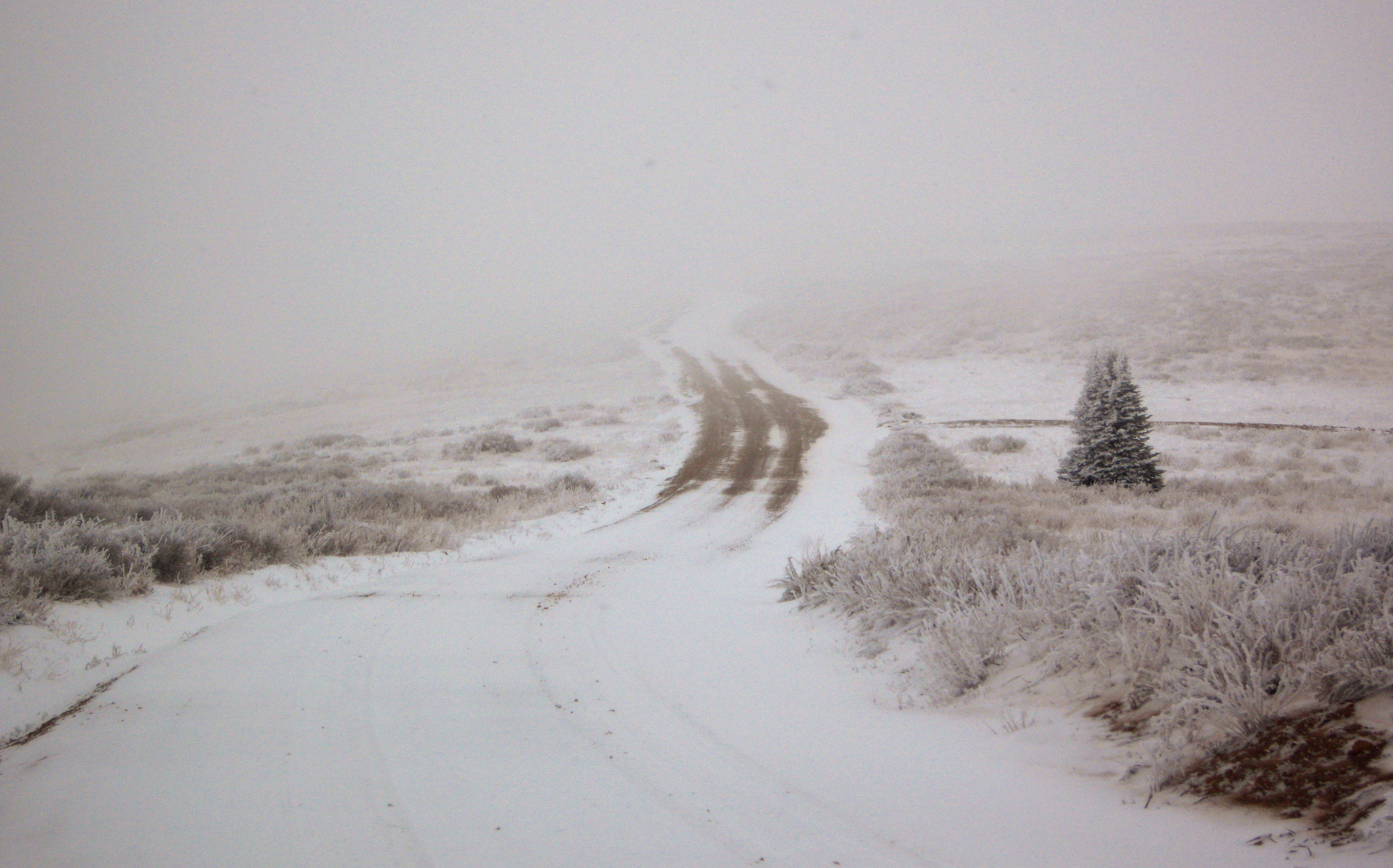
A Brushing of Snow

A Memory of Bright Days
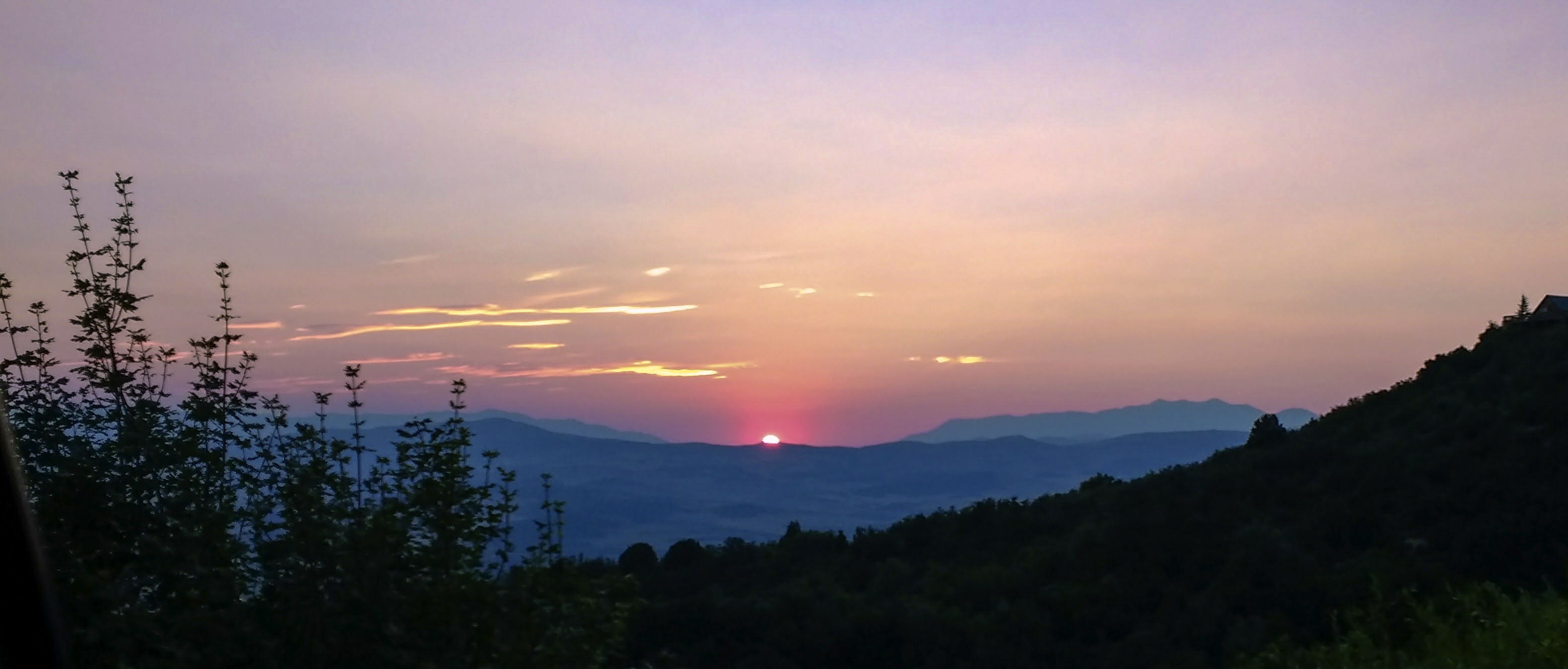
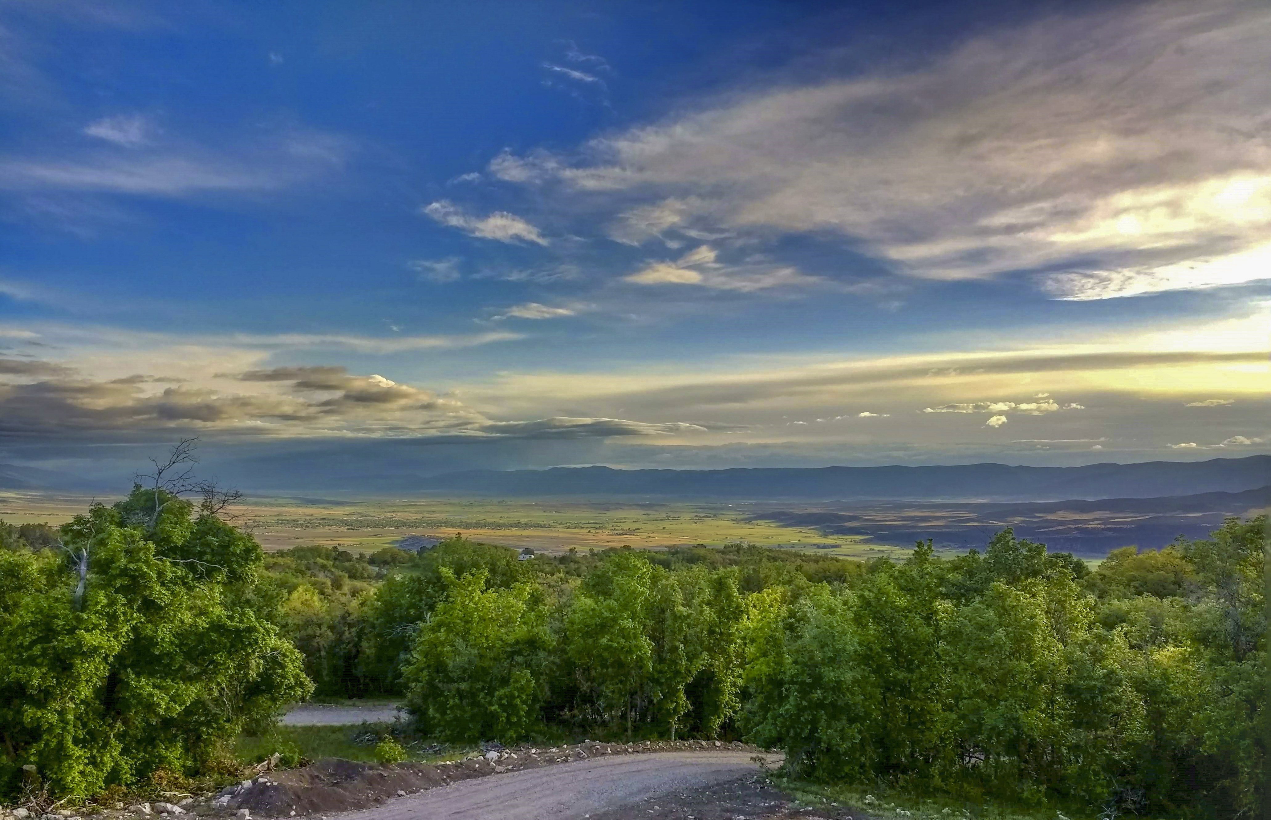
Sanpete sunset
Mt Pleasant Utah
Going Nowhere

The Shooting Bins
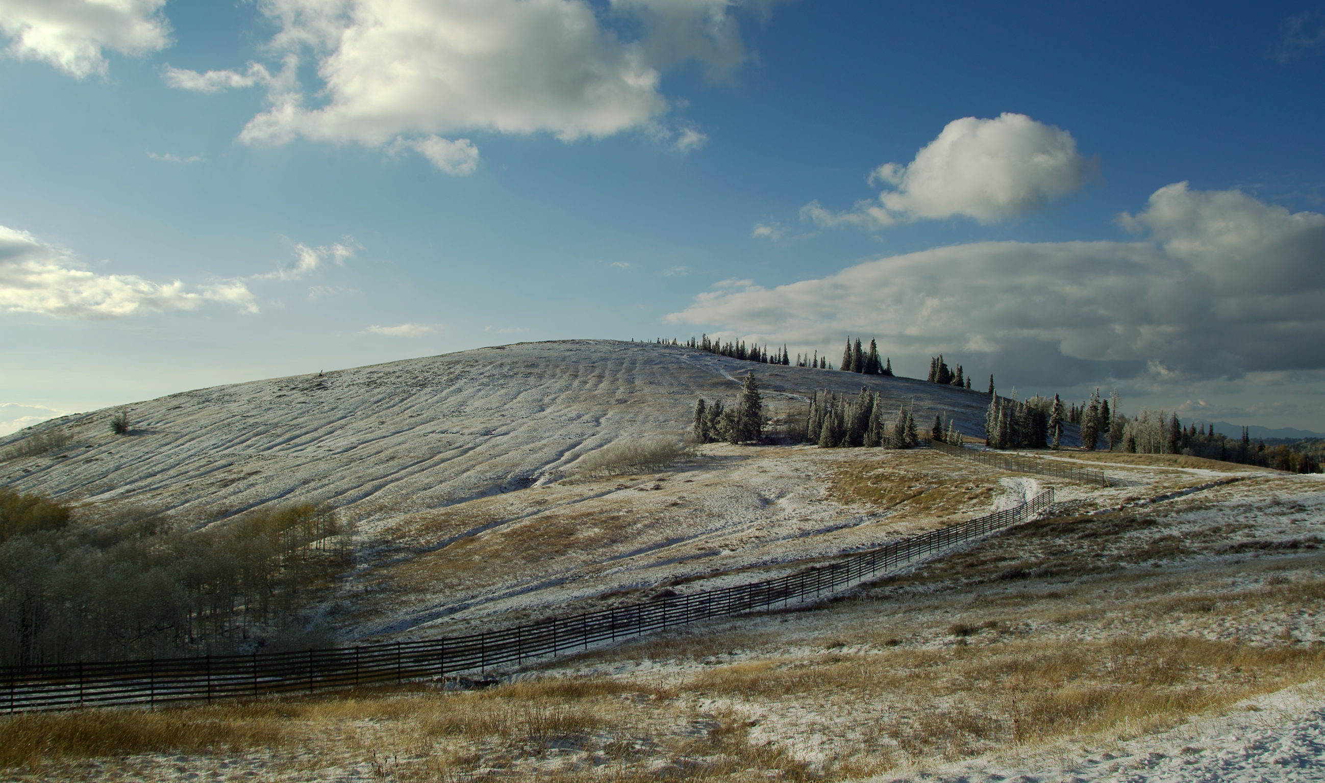
A Furrowed Hill
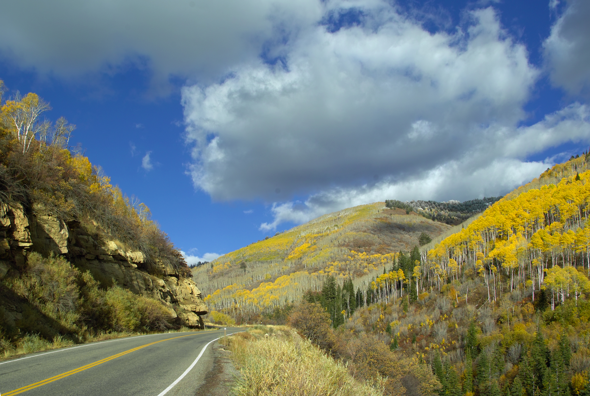
Fall Color in Fairview Canyon
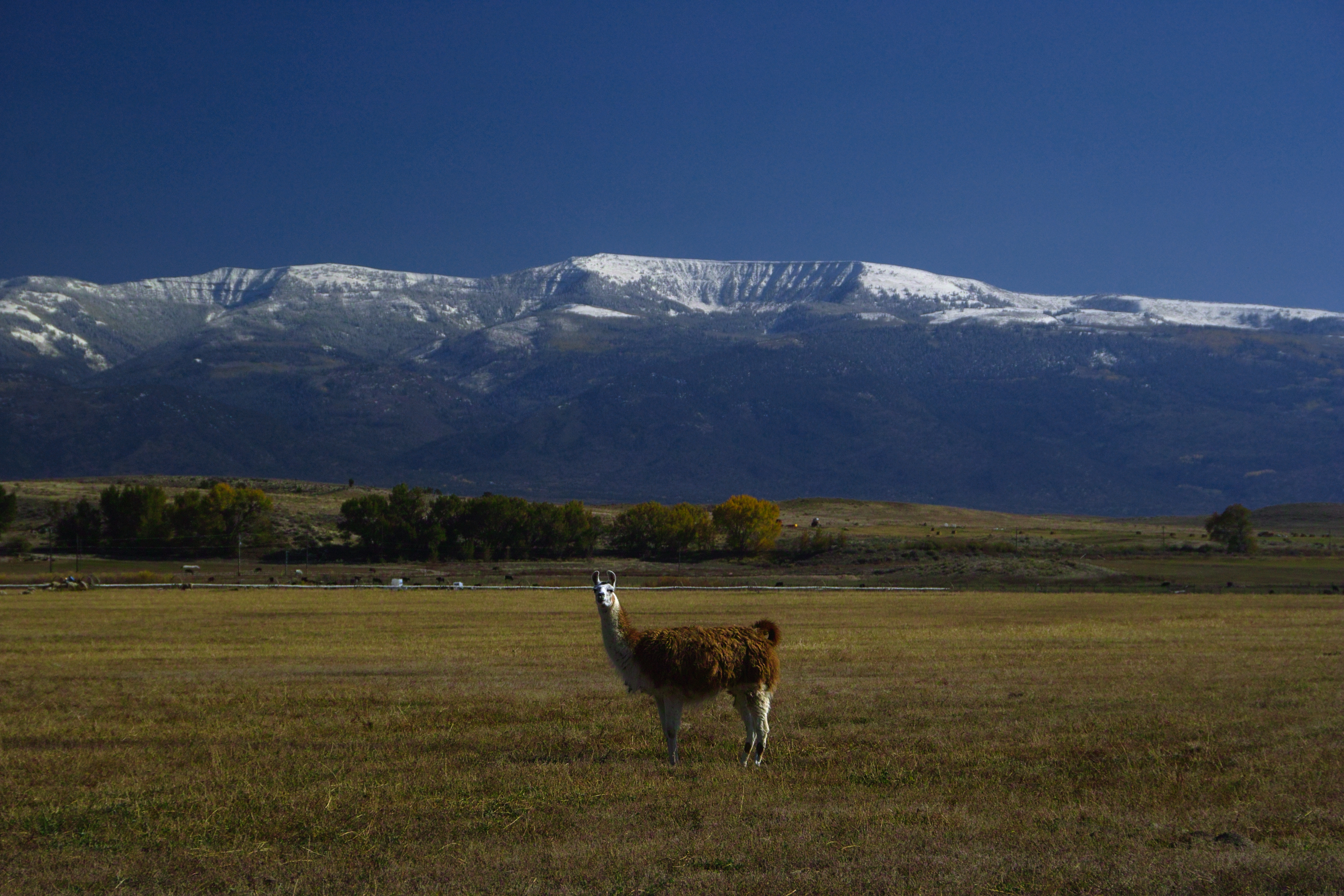
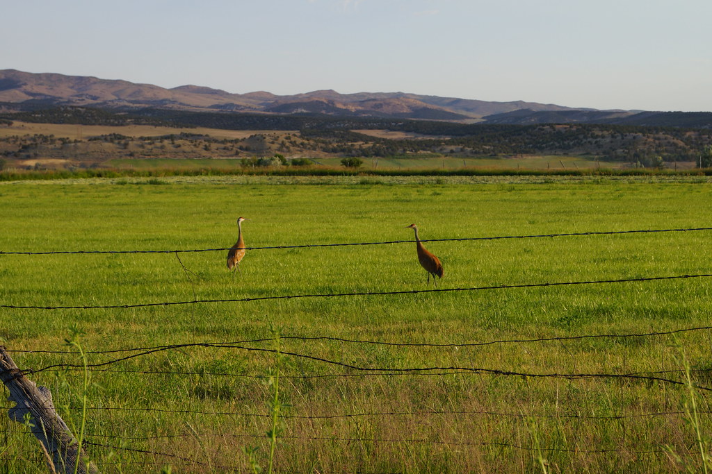
Alert Under the Mountain

On Watch
Mt Pleasant Utah
Topographic Map of S Medical Dr, Mt Pleasant, UT, USA
Find elevation by address:
Places near S Medical Dr, Mt Pleasant, UT, USA:
Mount Pleasant
19 N State St, Mt Pleasant, UT, USA
E N, Mt Pleasant, UT, USA
Spring City
540 S 700 E
15215 N 12650
Fairview
265 E 100 S
Moroni
Mt Pleasant, UT, USA
76 E Center St
Flat Canyon Campground
Fairview, UT, USA
N E, Helper, UT, USA
Big Mountain Campground
US-89, Spanish Fork, UT, USA
Dry Valley Road
Levan
E South 89 Hwy, Fairview, UT, USA
143 S 200 W
Recent Searches:
- Elevation of 104, Chancery Road, Middletown Township, Bucks County, Pennsylvania, 19047, USA
- Elevation of 1212, Cypress Lane, Dayton, Liberty County, Texas, 77535, USA
- Elevation map of Central Hungary, Hungary
- Elevation map of Pest, Central Hungary, Hungary
- Elevation of Pilisszentkereszt, Pest, Central Hungary, Hungary
- Elevation of Dharamkot Tahsil, Punjab, India
- Elevation of Bhinder Khurd, Dharamkot Tahsil, Punjab, India
- Elevation of 2881, Chabot Drive, San Bruno, San Mateo County, California, 94066, USA
- Elevation of 10370, West 107th Circle, Westminster, Jefferson County, Colorado, 80021, USA
- Elevation of 611, Roman Road, Old Ford, Bow, London, England, E3 2RW, United Kingdom
- Elevation of 116, Beartown Road, Underhill, Chittenden County, Vermont, 05489, USA
- Elevation of Window Rock, Colfax County, New Mexico, 87714, USA
- Elevation of 4807, Rosecroft Street, Kempsville Gardens, Virginia Beach, Virginia, 23464, USA
- Elevation map of Matawinie, Quebec, Canada
- Elevation of Sainte-Émélie-de-l'Énergie, Matawinie, Quebec, Canada
- Elevation of Rue du Pont, Sainte-Émélie-de-l'Énergie, Matawinie, Quebec, J0K2K0, Canada
- Elevation of 8, Rue de Bécancour, Blainville, Thérèse-De Blainville, Quebec, J7B1N2, Canada
- Elevation of Wilmot Court North, 163, University Avenue West, Northdale, Waterloo, Region of Waterloo, Ontario, N2L6B6, Canada
- Elevation map of Panamá Province, Panama
- Elevation of Balboa, Panamá Province, Panama