Elevation of Ferron, UT, USA
Location: United States > Utah > Emery County >
Longitude: -111.13322
Latitude: 39.0935829
Elevation: 1819m / 5968feet
Barometric Pressure: 81KPa
Elevation Map:
Satellite Map:
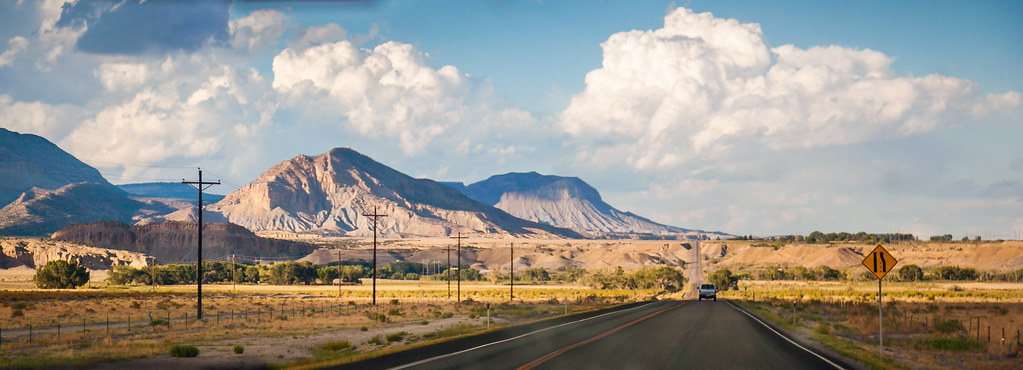
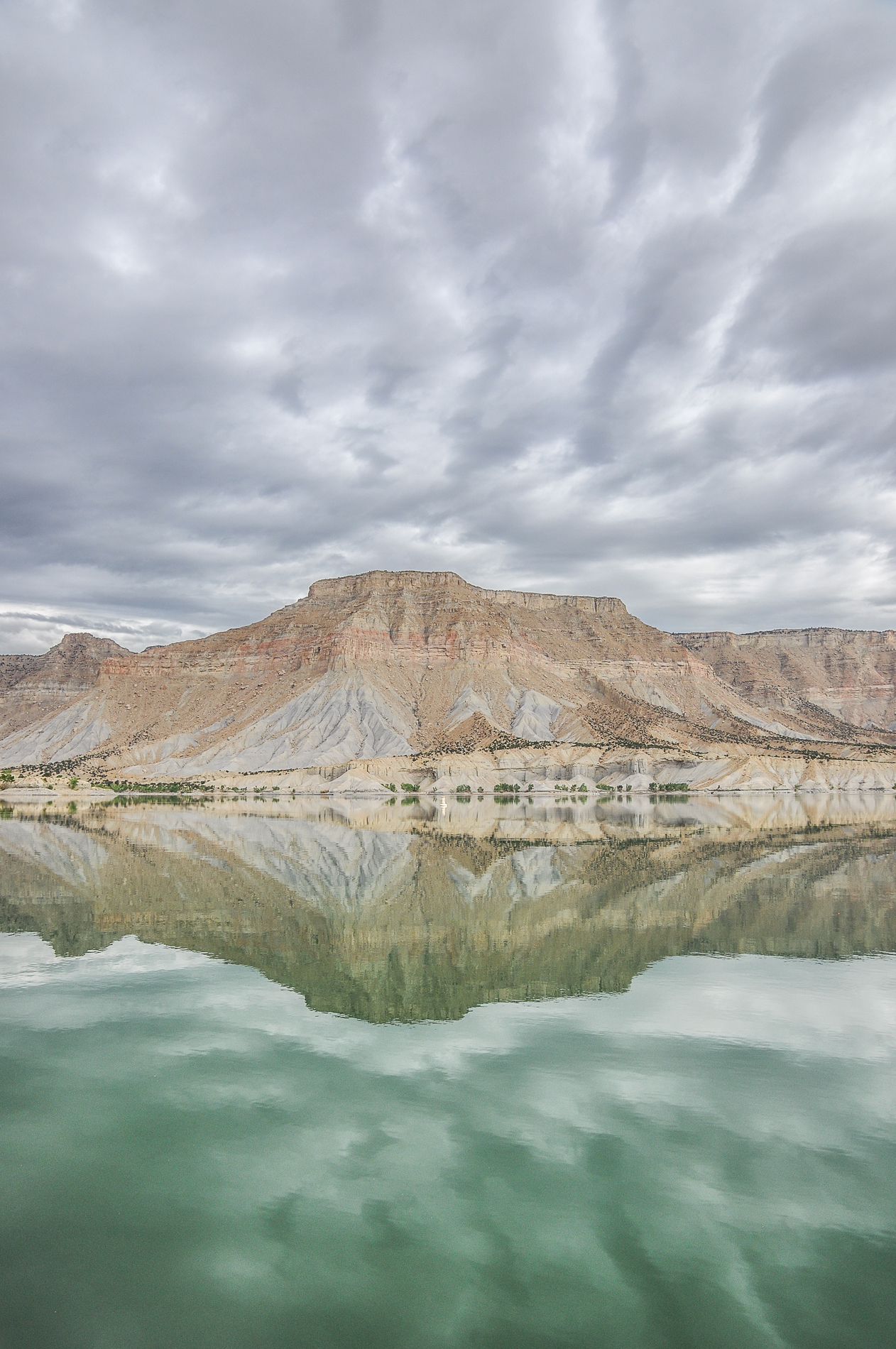
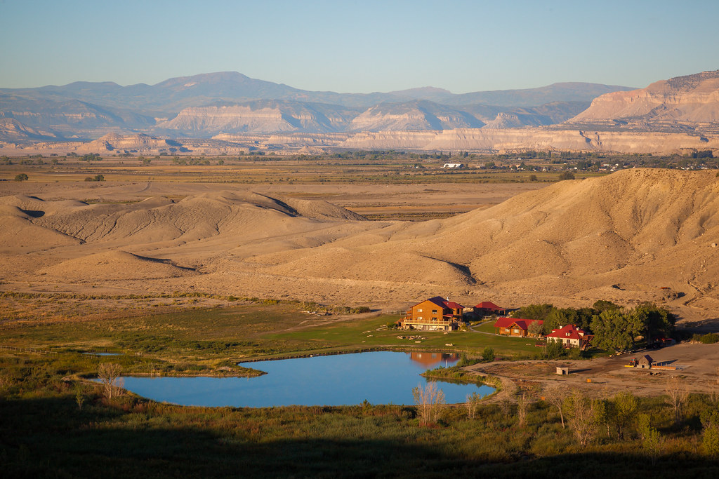
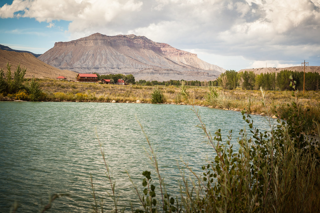
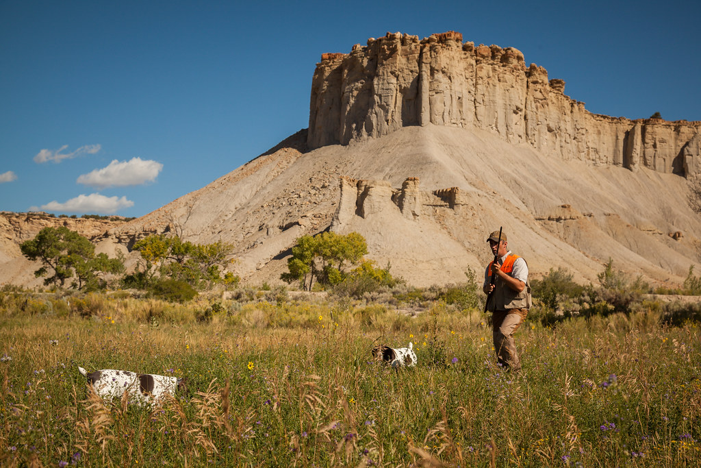
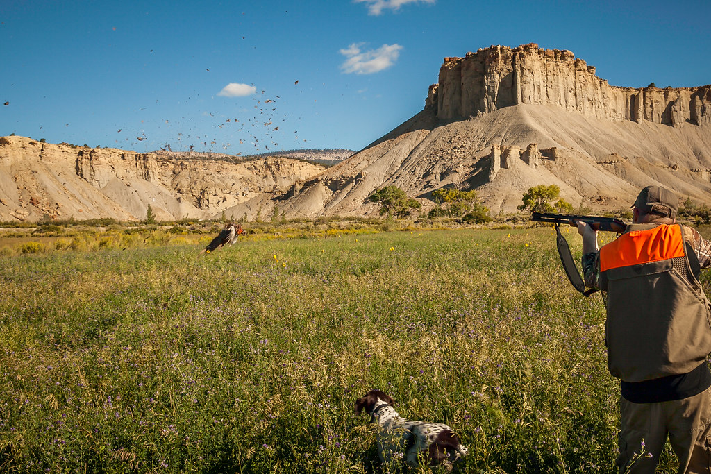
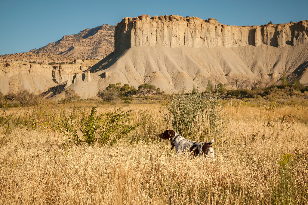
Related Photos:
Castle Dale UT power plant (#0100)
Millsite Sunset
CVO-6149
Millsite Reservoir
CVO-6690

CVO-5995
flickrexport-16
CVO-6272

CVO-6007
CVO-5946
CVO-5927
CVO-6663
CVO-6075

CVO-6131
CVO-6428
CVO-6426
CVO-6373

CVO-6019

CVO-6014

flickrexport-3

CVO-6010
CVO-6289
Topographic Map of Ferron, UT, USA
Find elevation by address:

Places near Ferron, UT, USA:
Yearns Reservoir
Sanpete County
Ephraim
5 S Main St, Ephraim, UT, USA
The Church Of Jesus Christ Of Latter-day Saints
Manti
Sevier County
Gunnison
Axtell
Capitol Reef National Park
Salina
Thousand Lake Mountain
Capitol Reef
Fish Lake
UT-24, Torrey, UT, USA
Capitol Reef National Park Visitor Center
Petroglyphs
Capitol Reef Resort
Fruita
Aurora
Recent Searches:
- Elevation of Corso Fratelli Cairoli, 35, Macerata MC, Italy
- Elevation of Tallevast Rd, Sarasota, FL, USA
- Elevation of 4th St E, Sonoma, CA, USA
- Elevation of Black Hollow Rd, Pennsdale, PA, USA
- Elevation of Oakland Ave, Williamsport, PA, USA
- Elevation of Pedrógão Grande, Portugal
- Elevation of Klee Dr, Martinsburg, WV, USA
- Elevation of Via Roma, Pieranica CR, Italy
- Elevation of Tavkvetili Mountain, Georgia
- Elevation of Hartfords Bluff Cir, Mt Pleasant, SC, USA