Elevation map of Emery County, UT, USA
Location: United States > Utah >
Longitude: -110.71224
Latitude: 39.0738385
Elevation: 1654m / 5426feet
Barometric Pressure: 83KPa
Elevation Map:
Satellite Map:
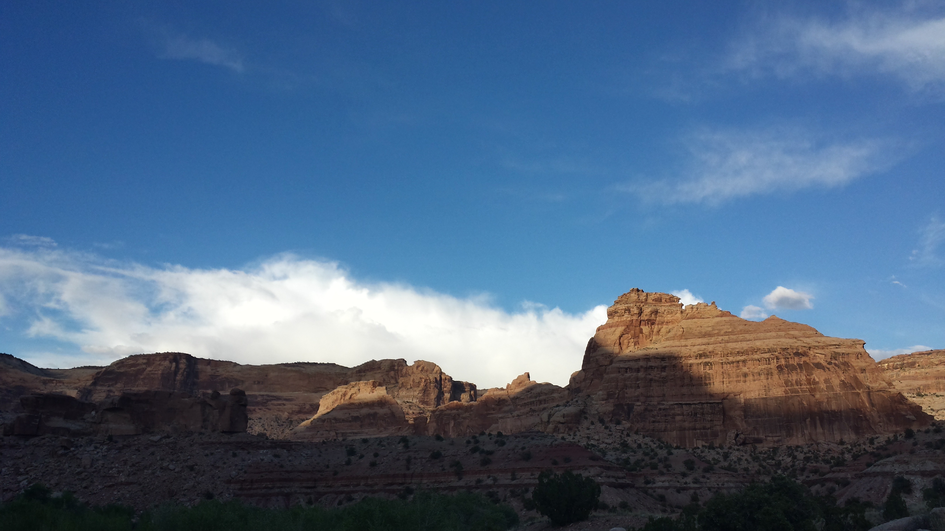
Related Photos:
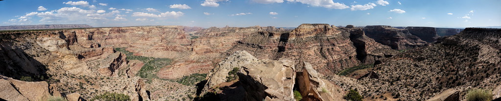
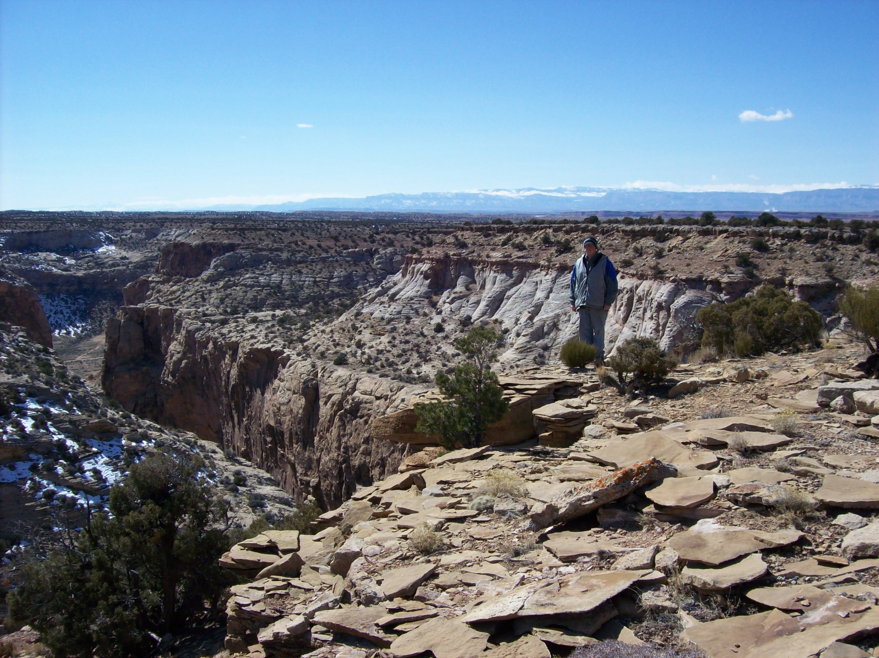
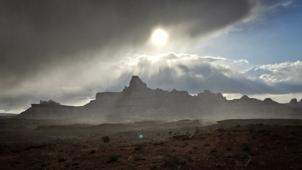
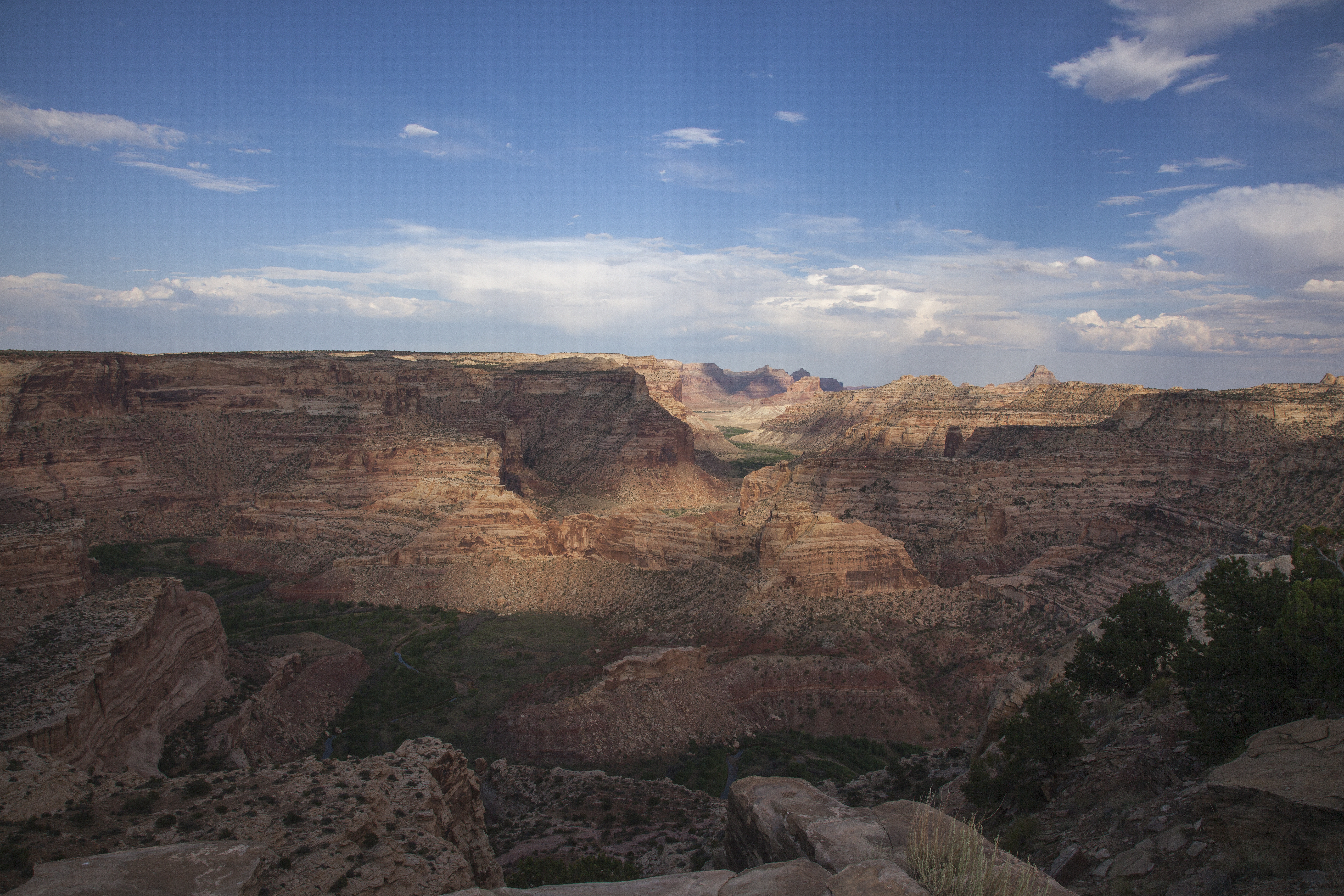
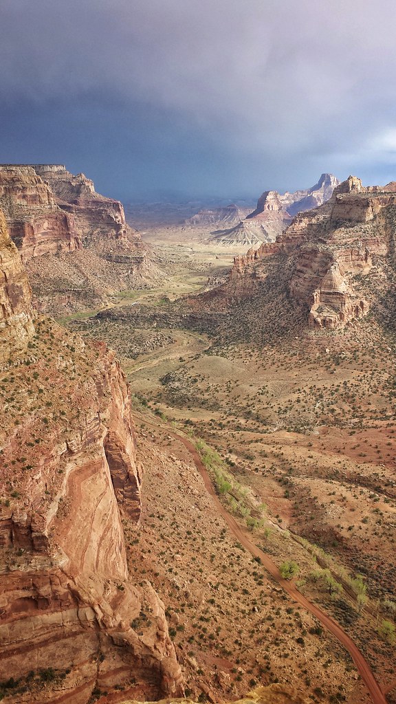
Little Grand Canyon up & down
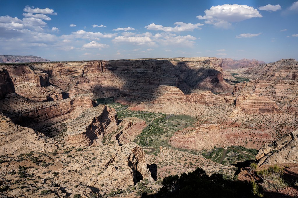
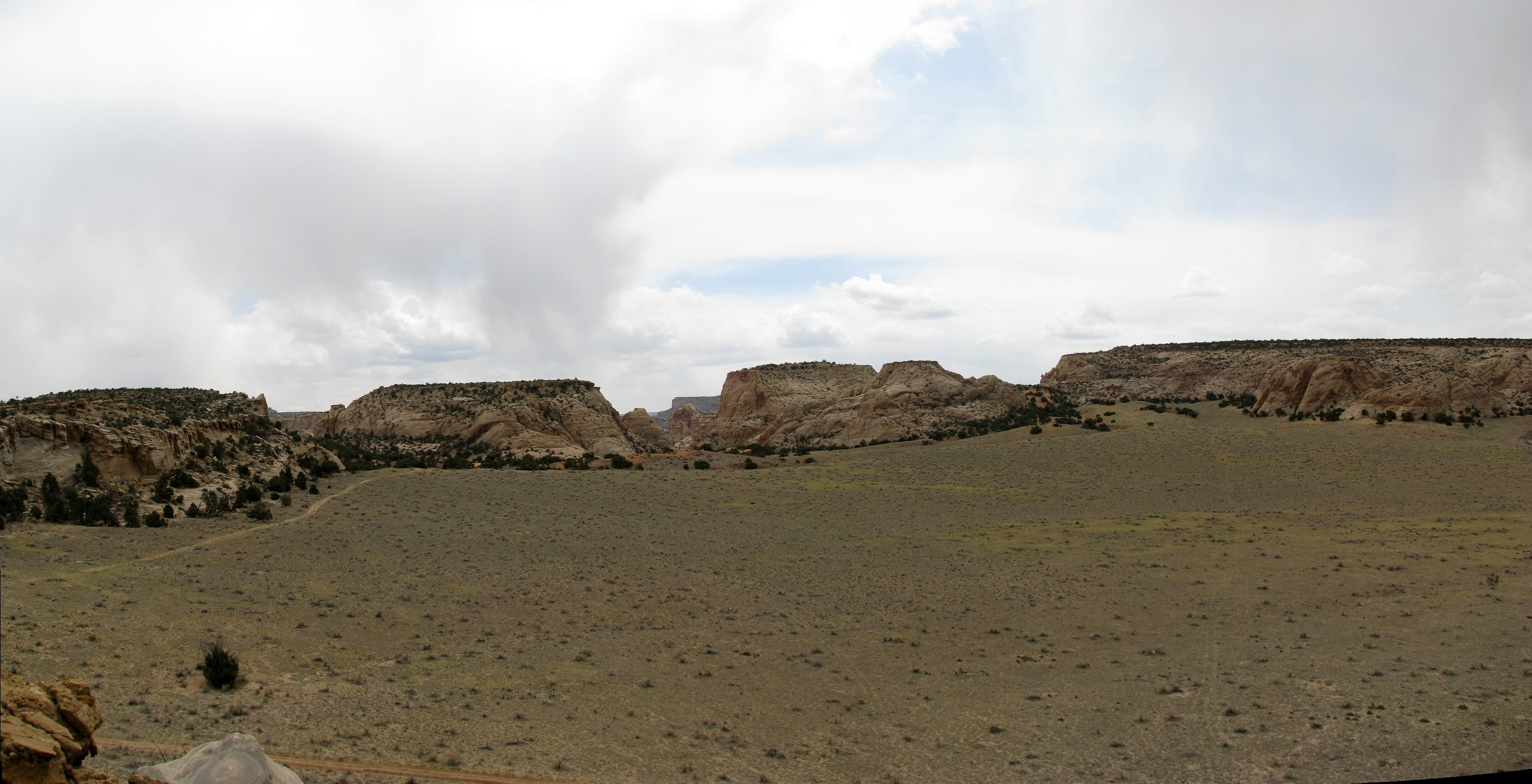
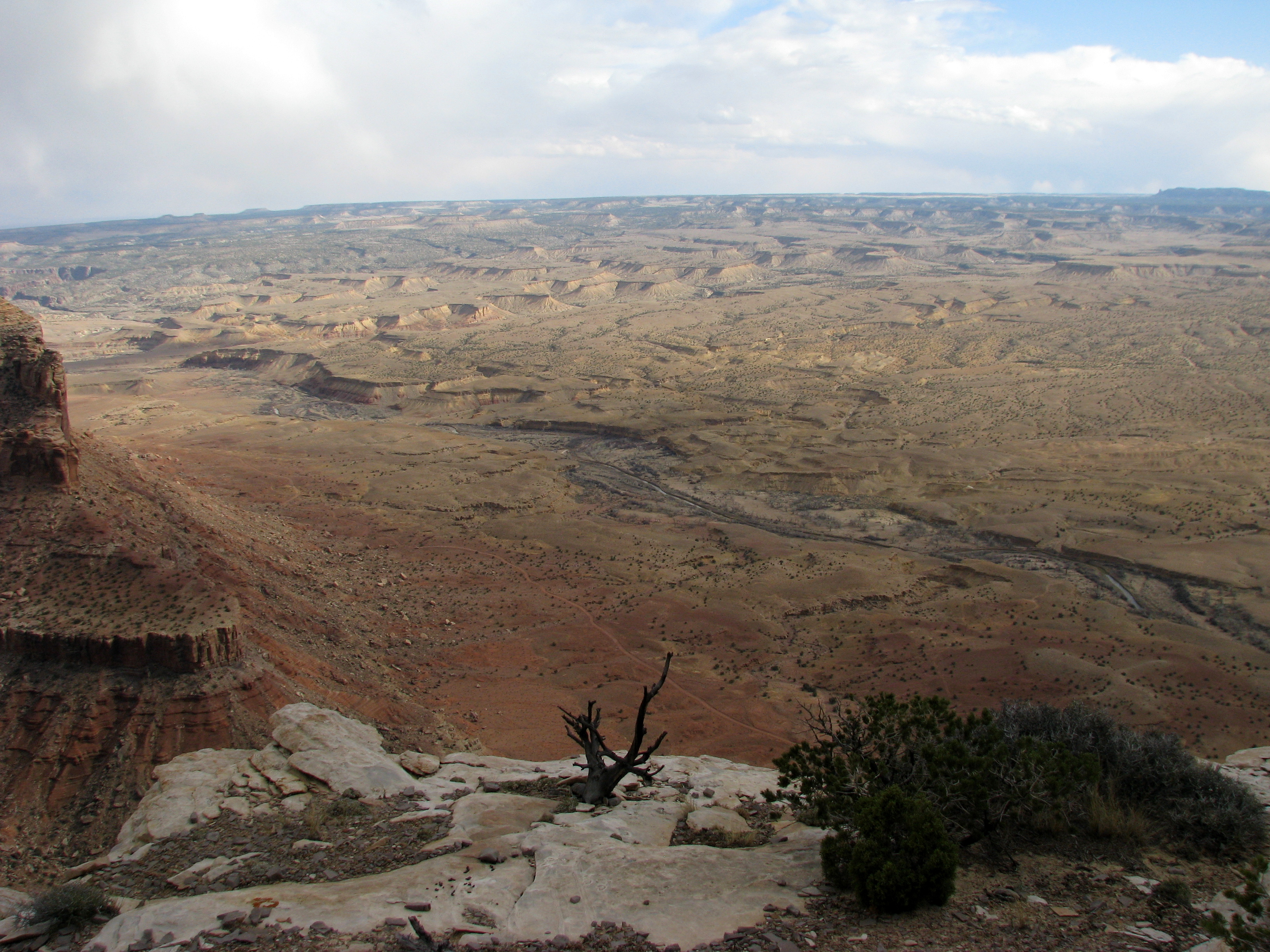
the view from the wedge
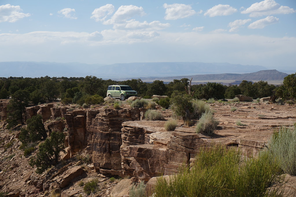
Hey, Honda?
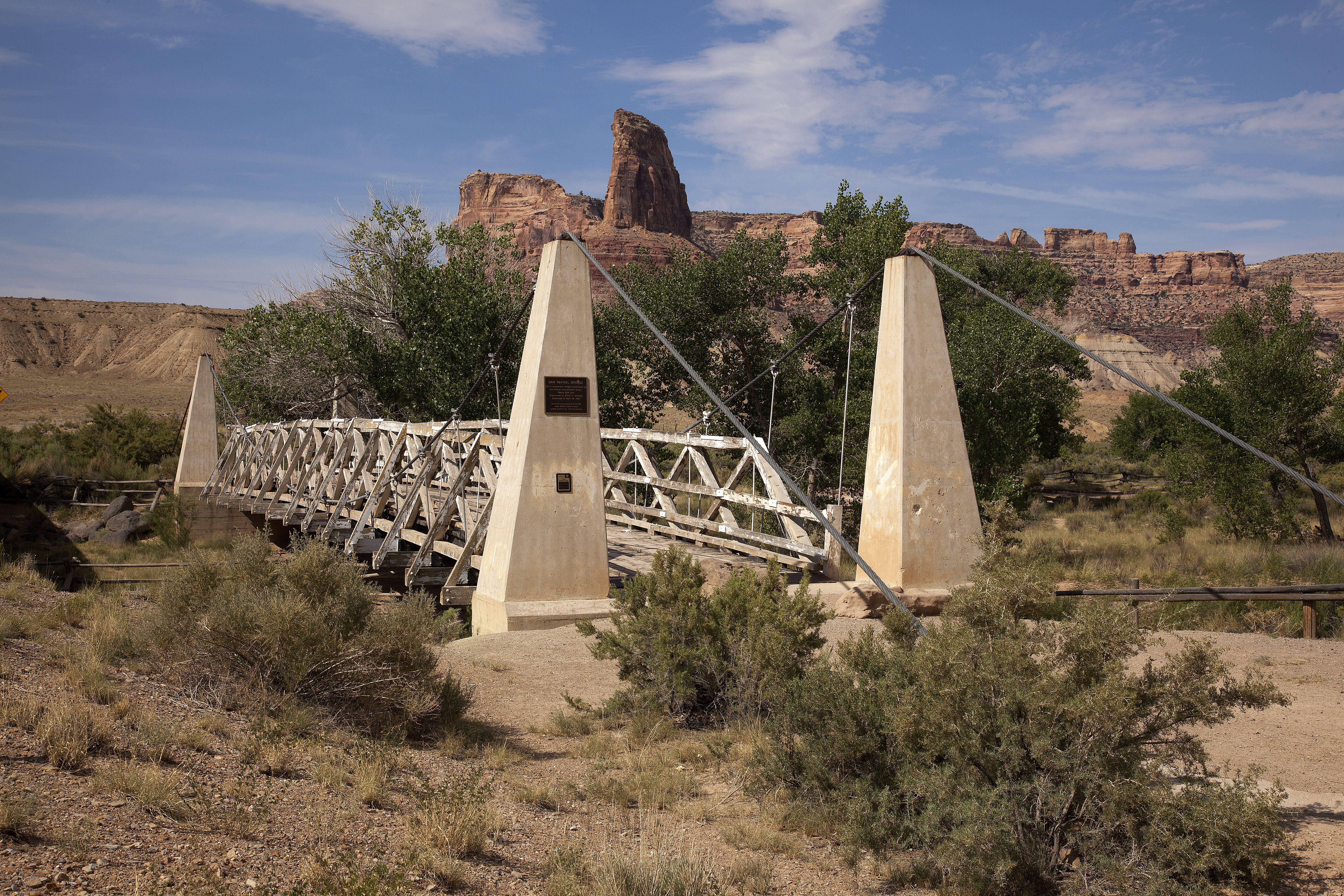
Historic San Rafael Swinging Bridge (Explored)
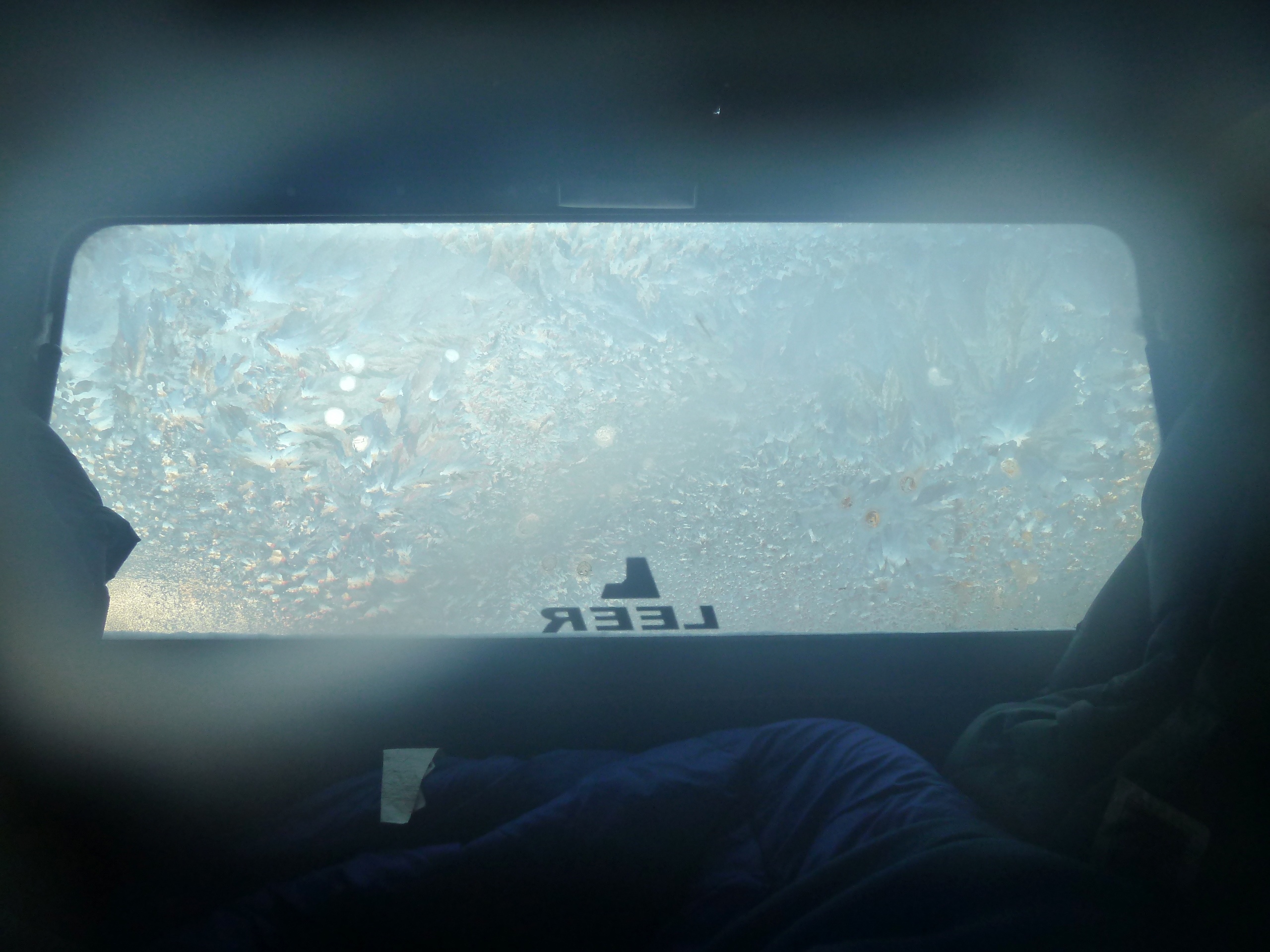
The view from inside our truck
Utah 1
UTAH!
View Down
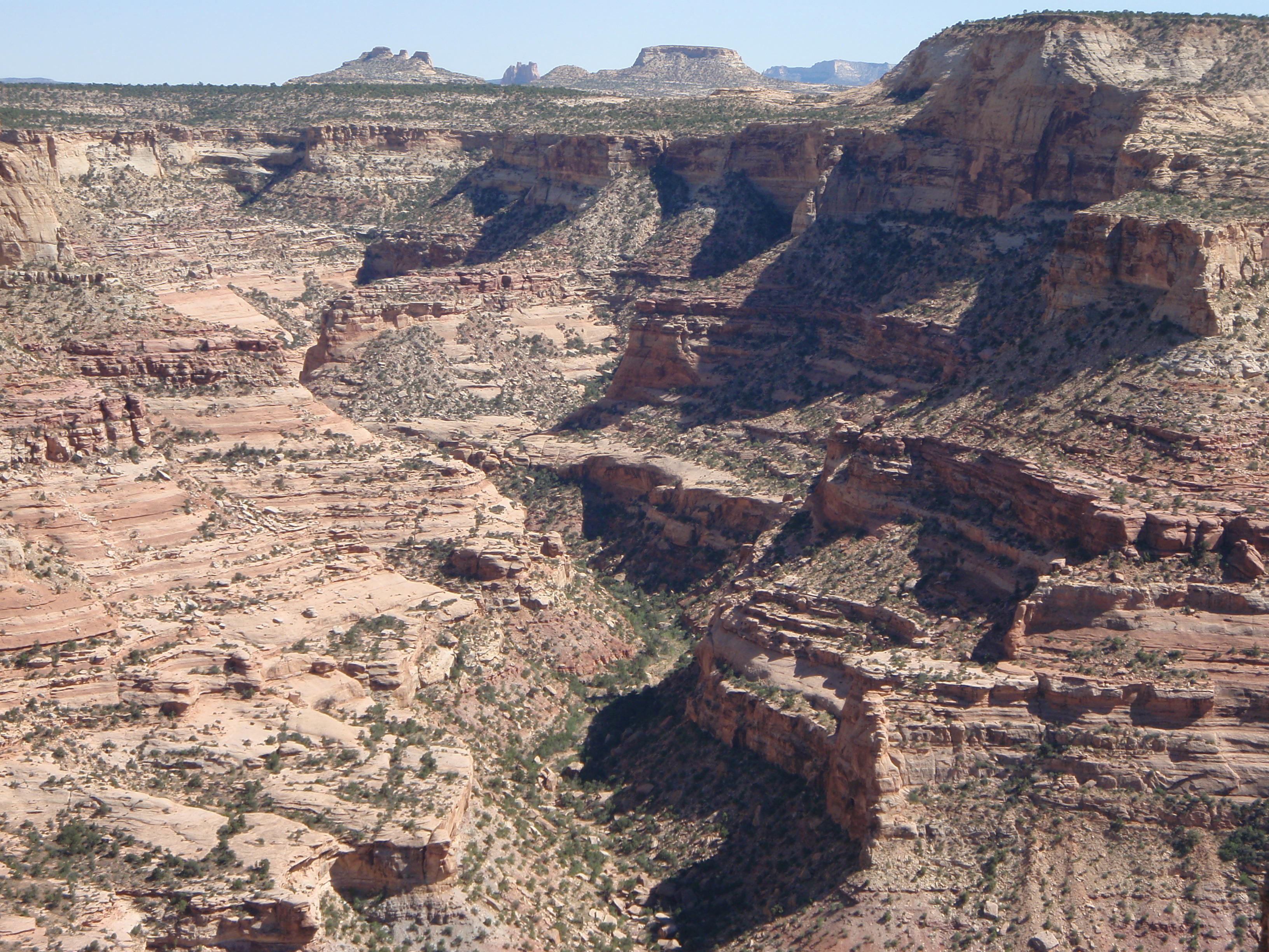
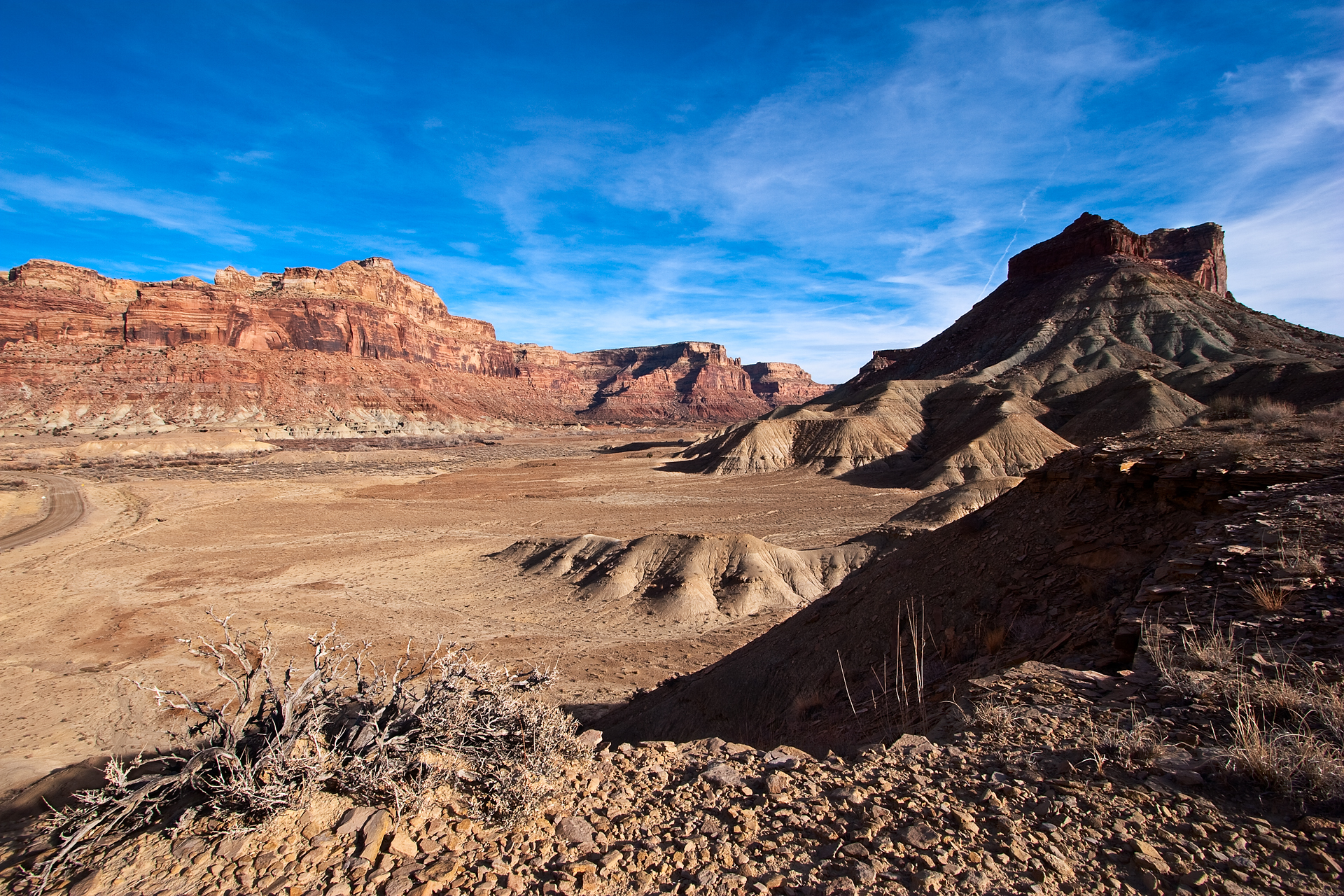
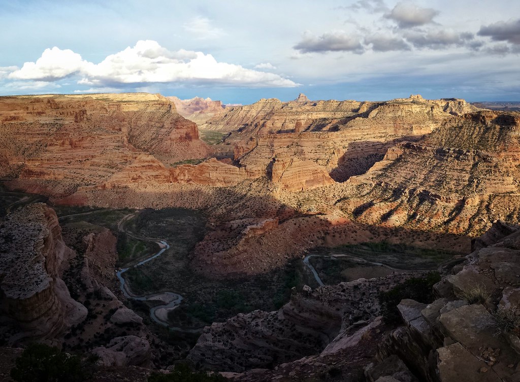
Little Grand Canyon, San Rafael Swell, UT
Eastern View

Dream Job
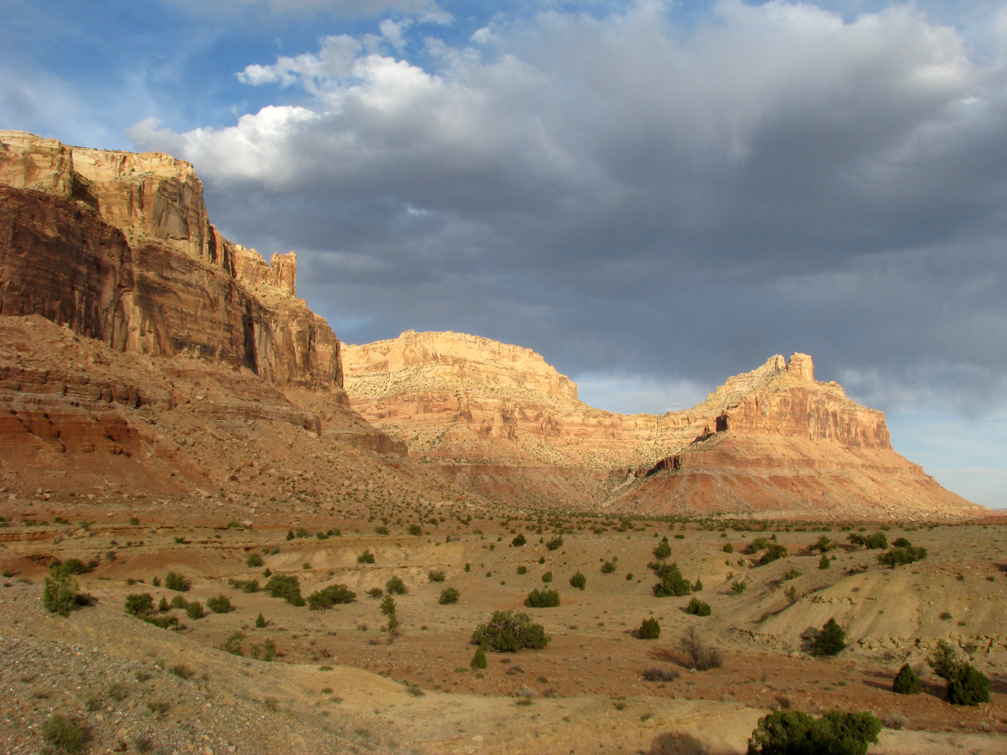
View North of Box Flat

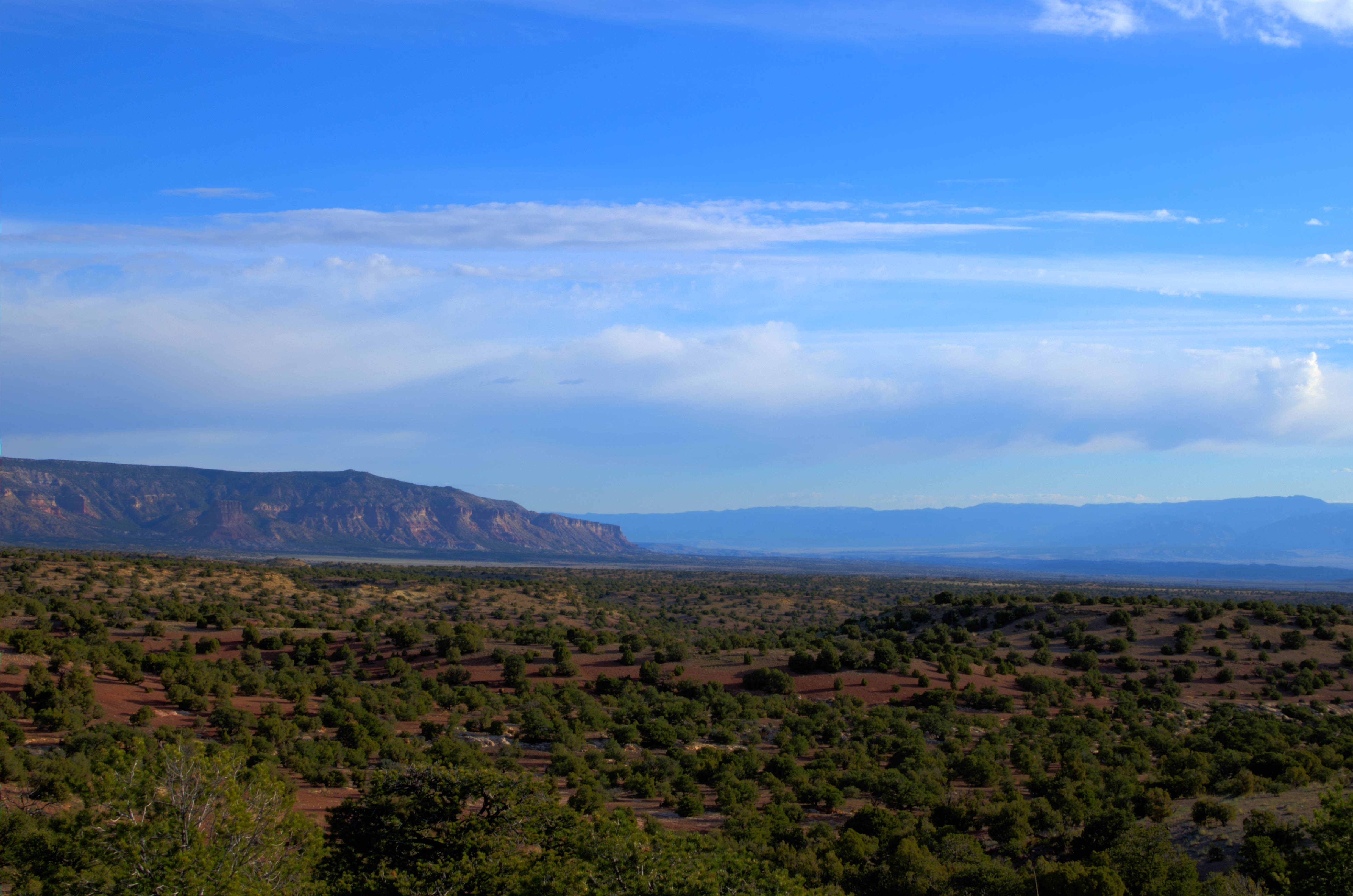
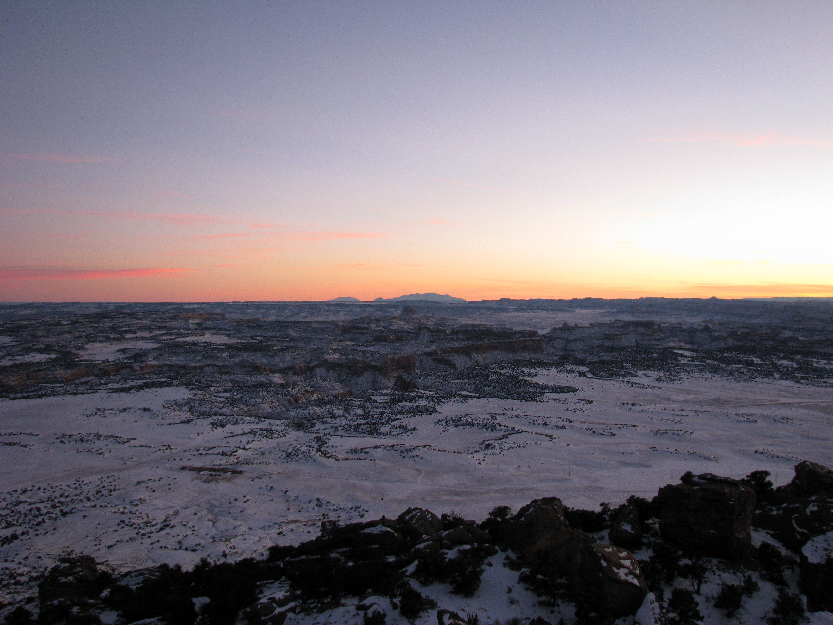
View from Cedar Mountain
Box Flat View
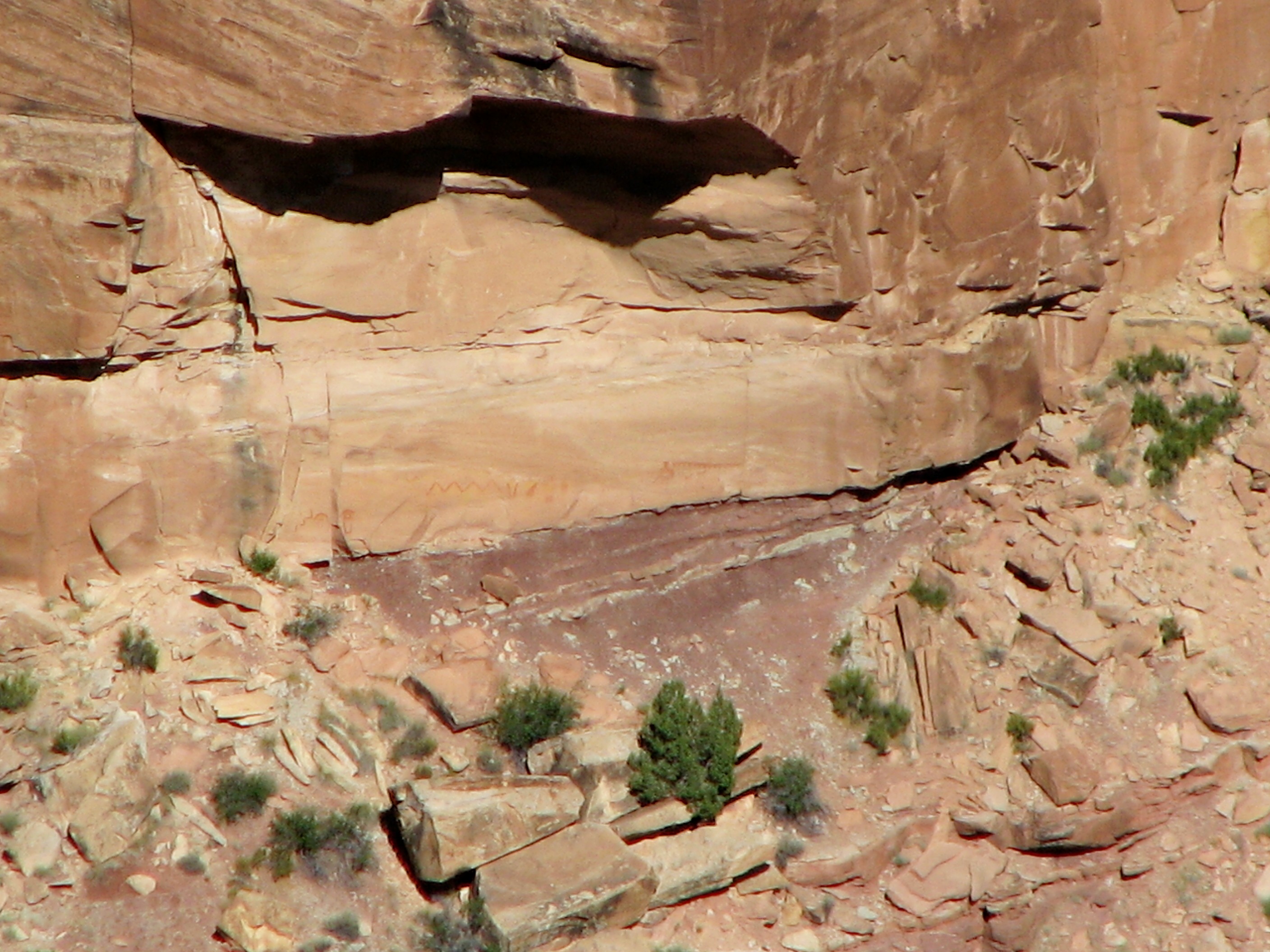
Wedge Indian Writtings
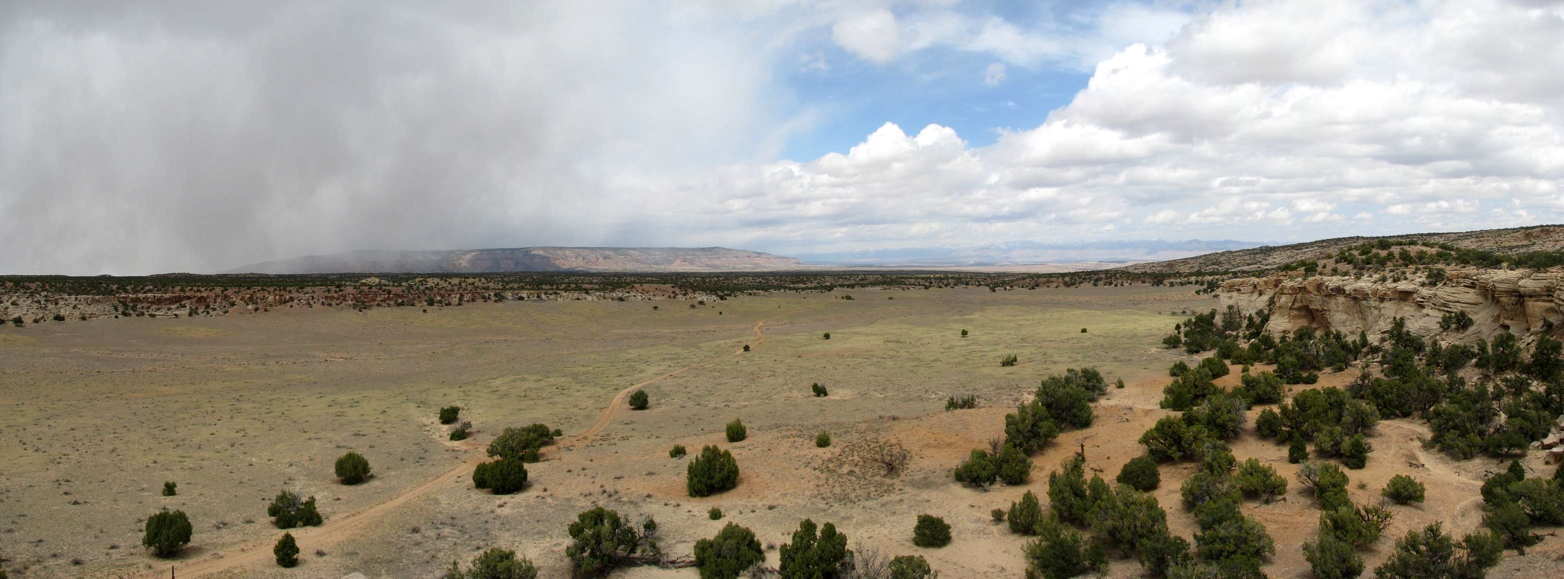
South View towards Devil's Hole
View Towards Cedar Mountain
Buckhorn View
View Southeast
The Overlook
View towards Ferron
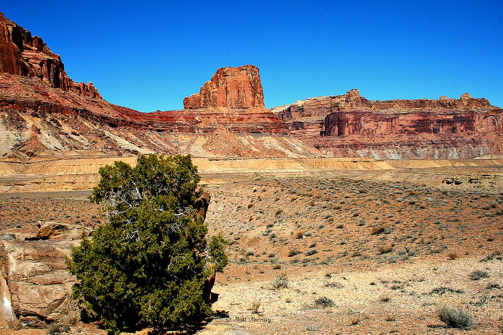
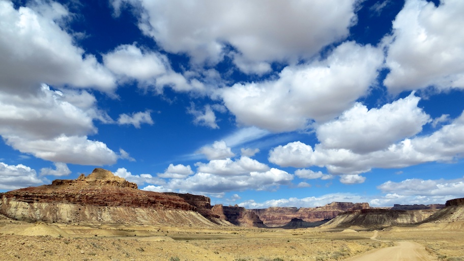
San Rafael Swell #16
Mobile Upload
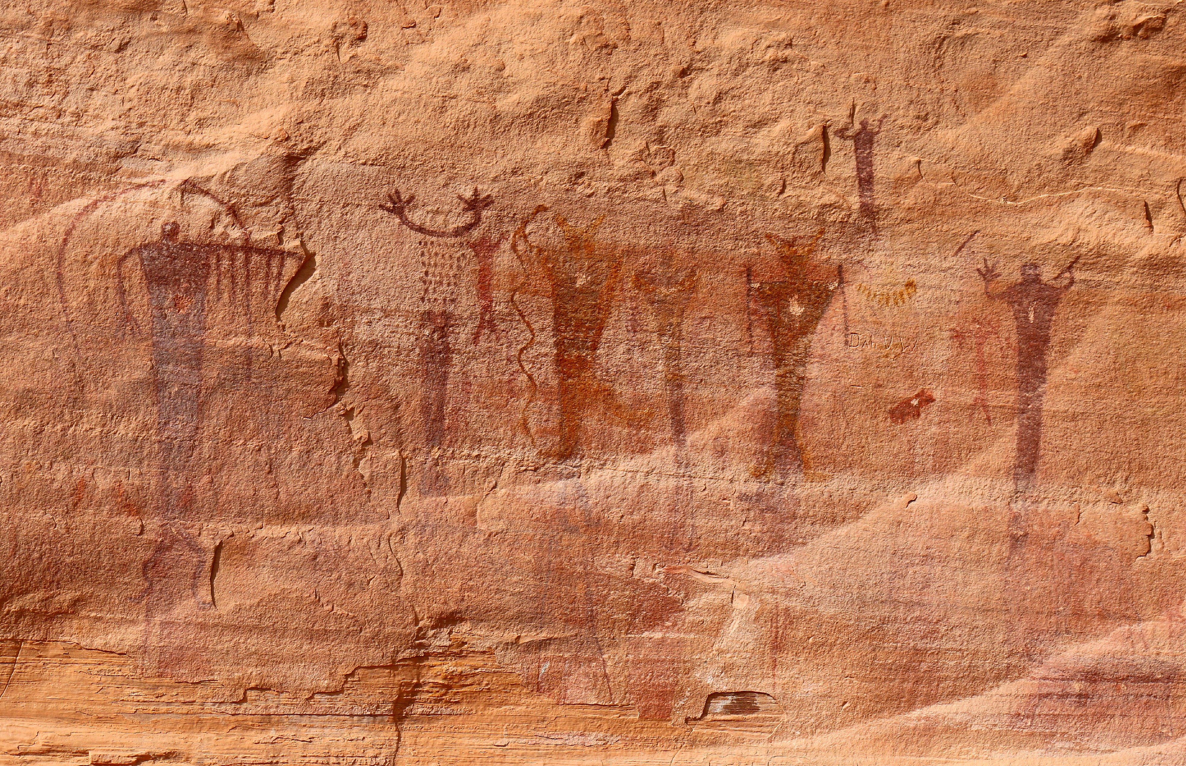
Buckhorn Wash pictograph panel

Wedge Overlook
San Rafael Swell #14
Canyon Chiaroscuro

Mobile Upload

Canyon & Domes (Explored)

Mobile Upload

Saddle Horse Canyon Pinnacle
Mobile Upload

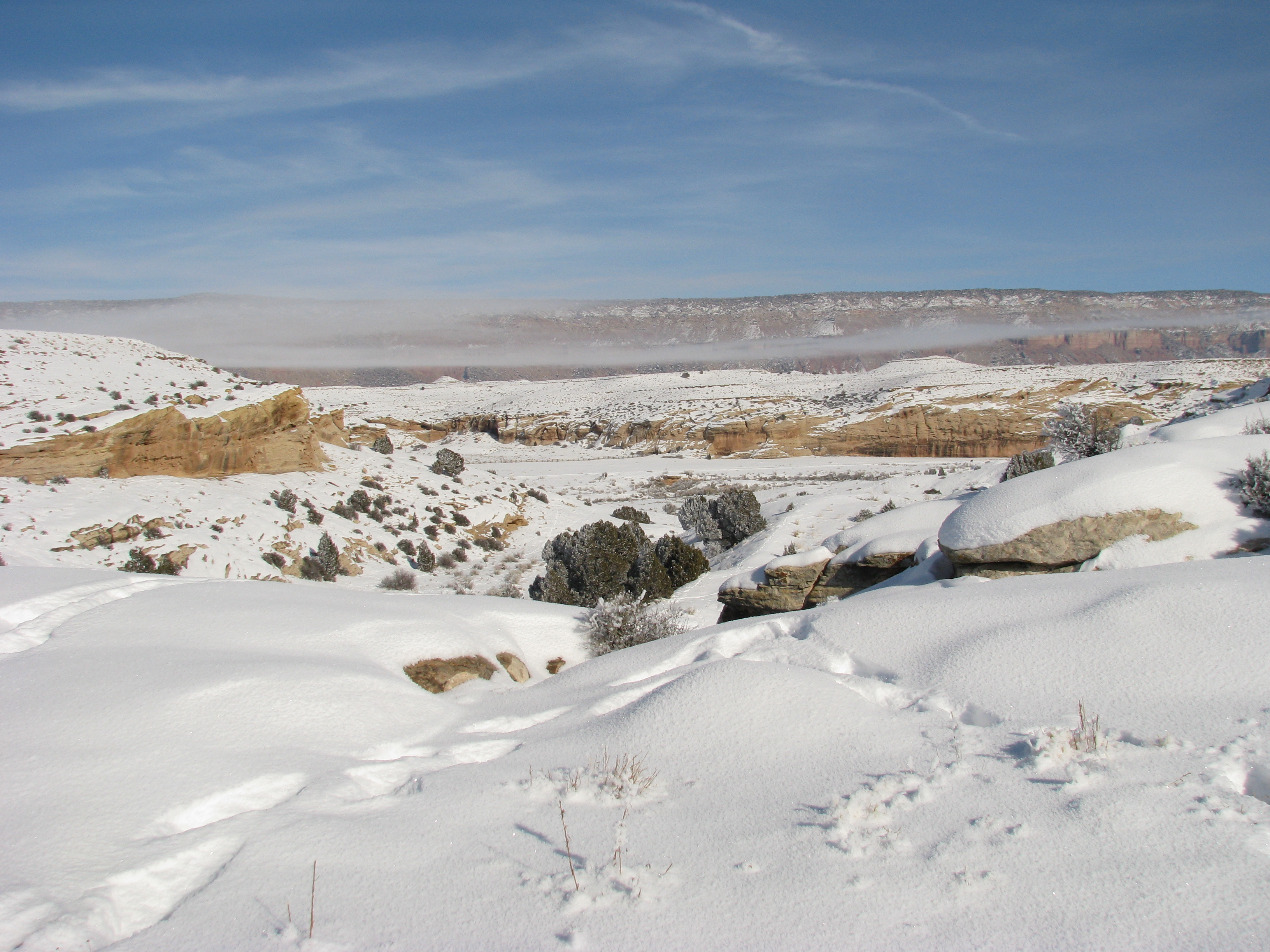
Waiting out the rain.
Mobile Upload
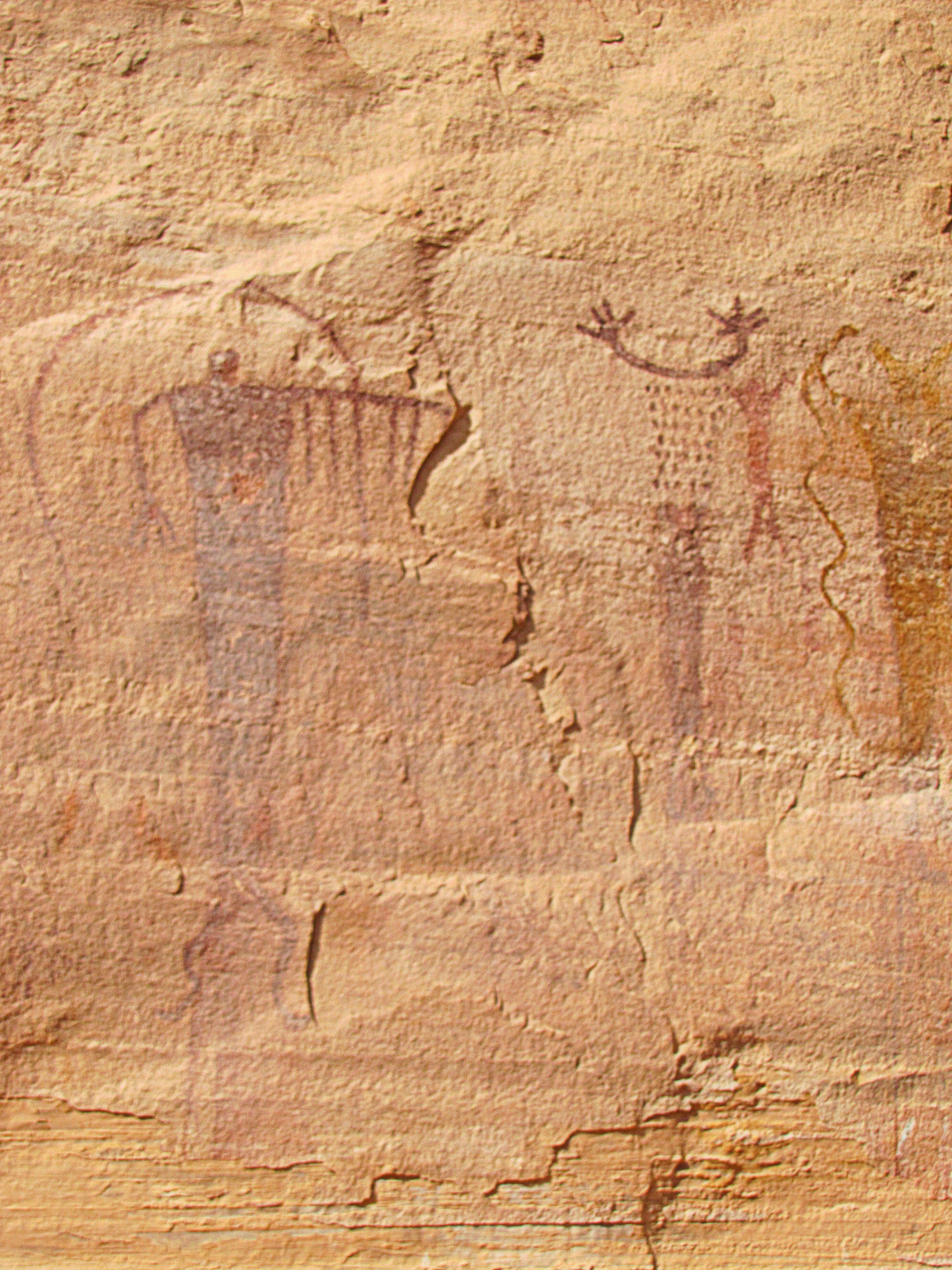
buckhorn wash pictographs #5
Buckhorn Wash S. of Price Utah
20150502_192524_Richtone(HDR)

Buckhorn Wash pictographs #7
Topographic Map of Emery County, UT, USA
Find elevation by address:

Places in Emery County, UT, USA:
Orangeville
N Main St, Huntington, UT, USA
The Wedge
Unnamed Road
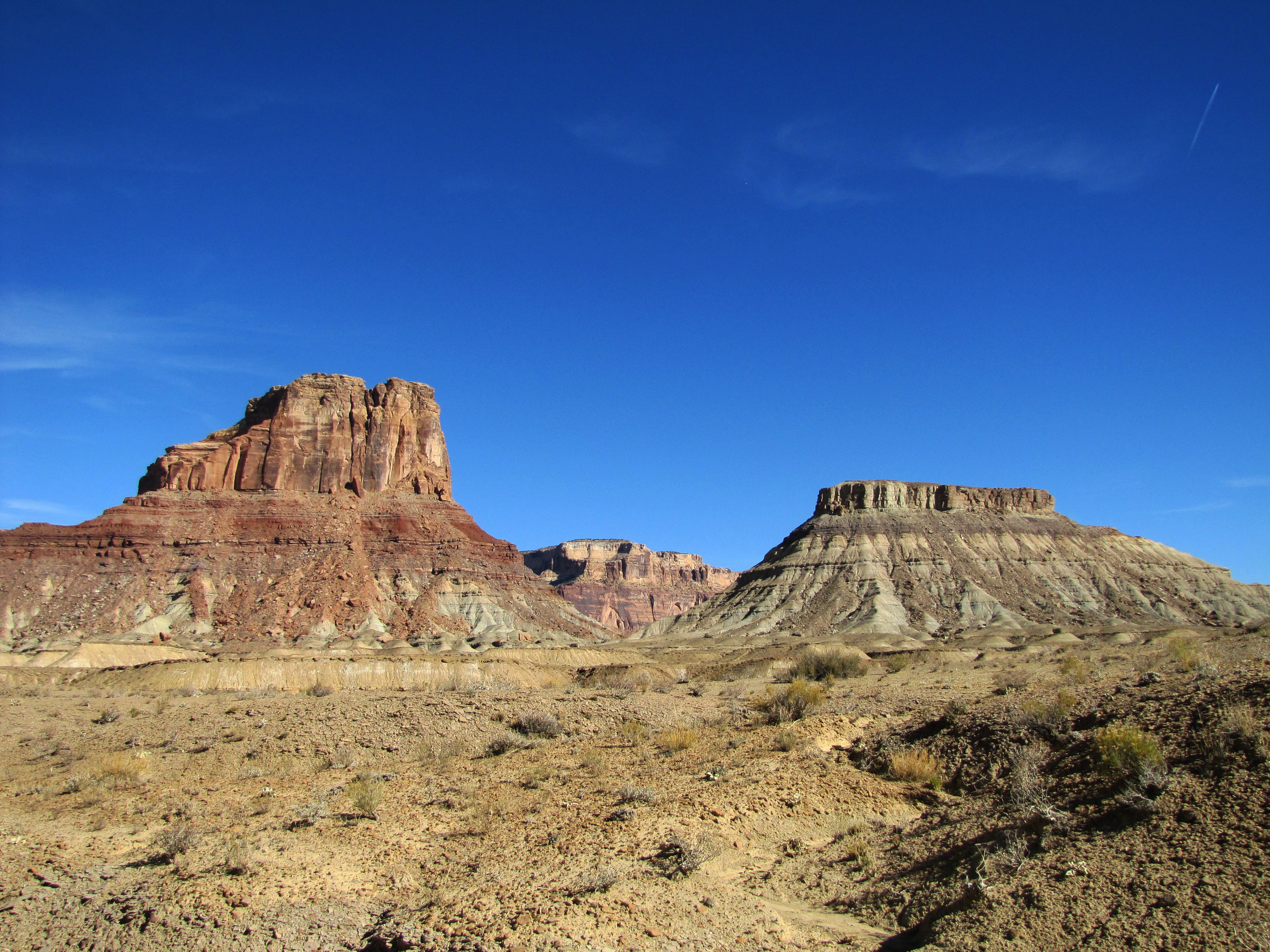
San Rafael Swell
Little Gilson Butte
Temple Mountain
Dugout Spring
Ferron
Unnamed Road
Deer Creek Road
Places near Emery County, UT, USA:
Wedge Overlook
Unnamed Road
San Rafael River Road
The Wedge
Buckhorn Draw Road
San Rafael Swell
Unnamed Road
N Main St, Huntington, UT, USA
Orangeville
25 N Main St, Orangeville, UT, USA
Temple Mountain
Utah
Little Gilson Butte
Little Wild Horse Canyon & Bell Canyon Trailhead
Goblin Valley State Park
Green River
Dugout Spring
The Mars Desert Research Station - Mdrs Is A Private Research Facility Open By Appointment Only
Hollow Mountain
E N, Hanksville, UT, USA
Recent Searches:
- Elevation of Corso Fratelli Cairoli, 35, Macerata MC, Italy
- Elevation of Tallevast Rd, Sarasota, FL, USA
- Elevation of 4th St E, Sonoma, CA, USA
- Elevation of Black Hollow Rd, Pennsdale, PA, USA
- Elevation of Oakland Ave, Williamsport, PA, USA
- Elevation of Pedrógão Grande, Portugal
- Elevation of Klee Dr, Martinsburg, WV, USA
- Elevation of Via Roma, Pieranica CR, Italy
- Elevation of Tavkvetili Mountain, Georgia
- Elevation of Hartfords Bluff Cir, Mt Pleasant, SC, USA