Elevation of Dugout Spring, Utah, USA
Location: United States > Utah > Emery County >
Longitude: -110.36430
Latitude: 38.6105344
Elevation: 1459m / 4787feet
Barometric Pressure: 85KPa
Elevation Map:
Satellite Map:
Related Photos:

Dunes off Emery County Road 1010
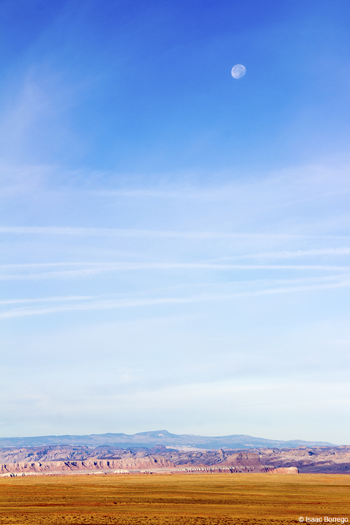
Lunar Landscape
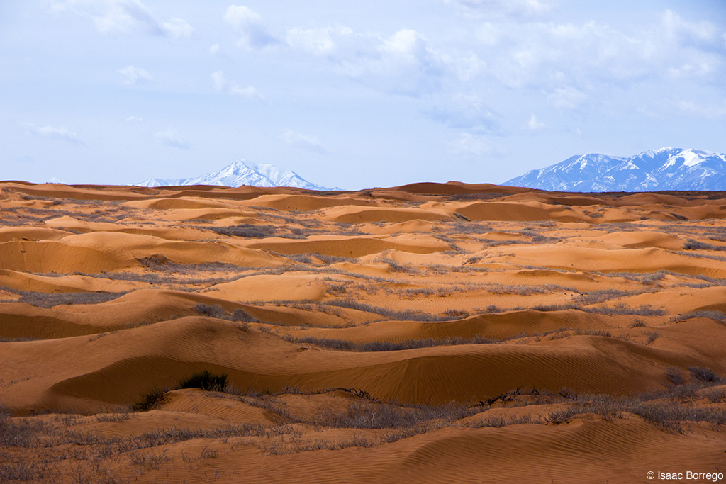
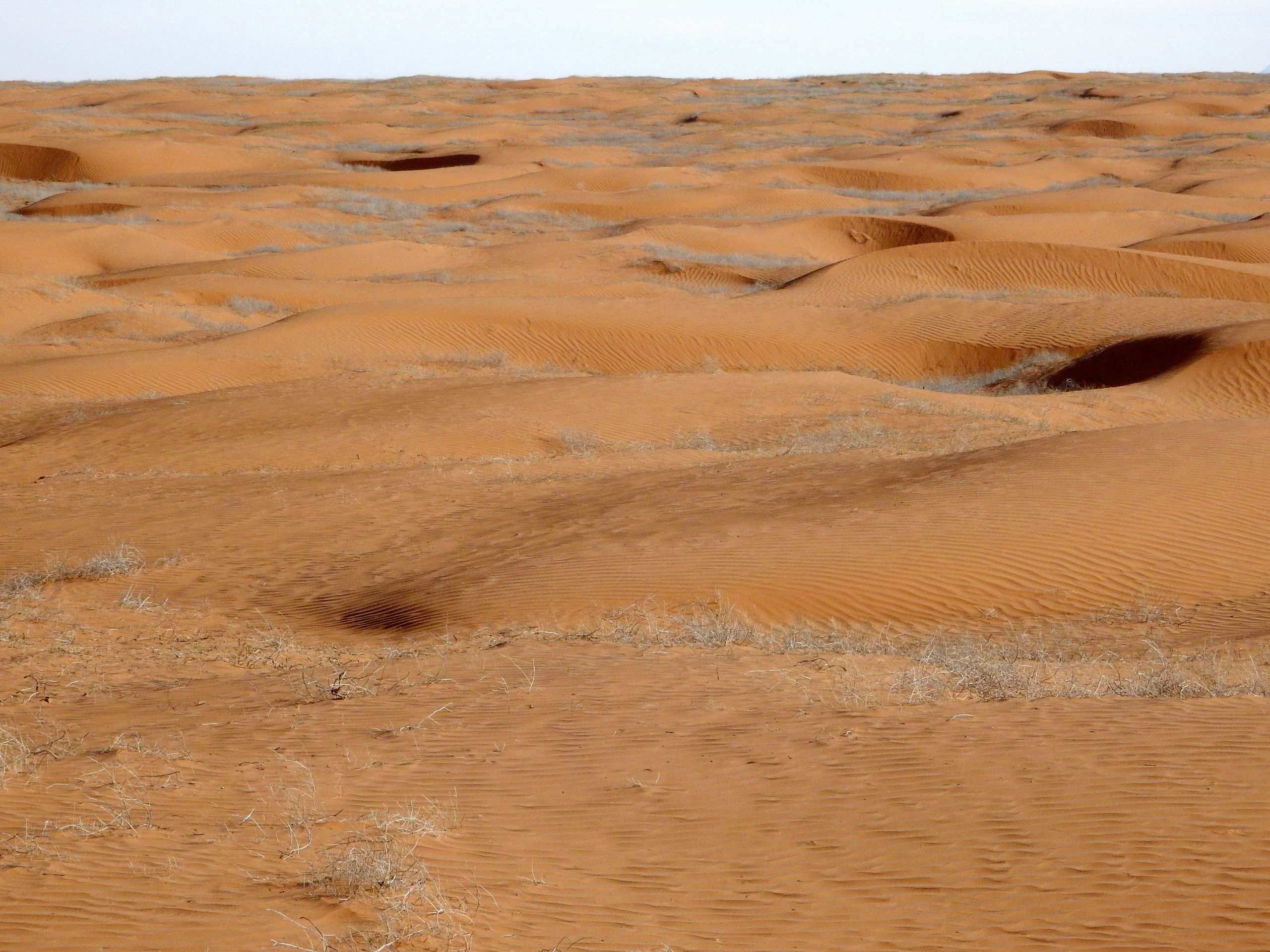
Utah Sand Dunes

GM_16-01-11_135937.jpg

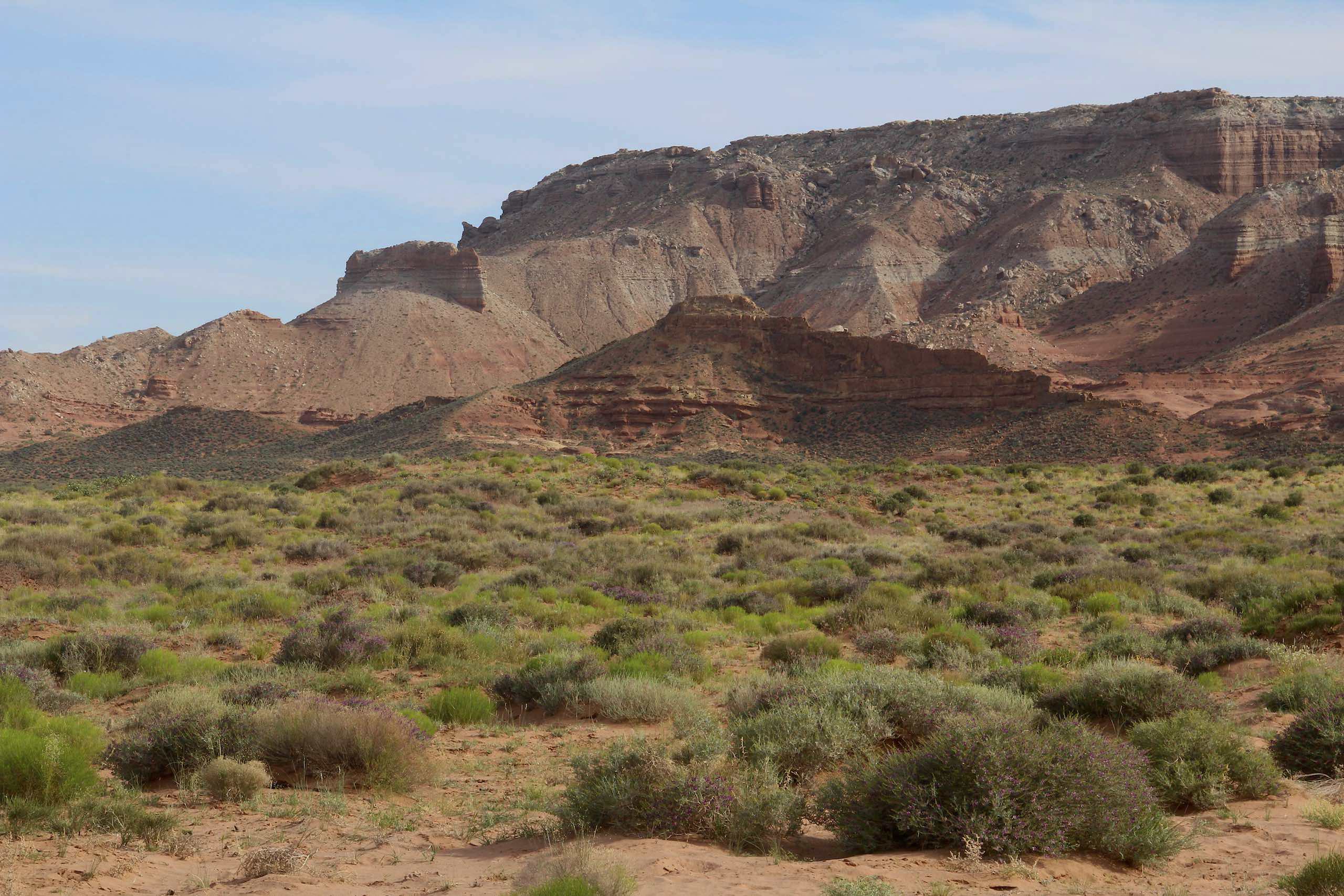
Emery County Road 1010 (Utah)

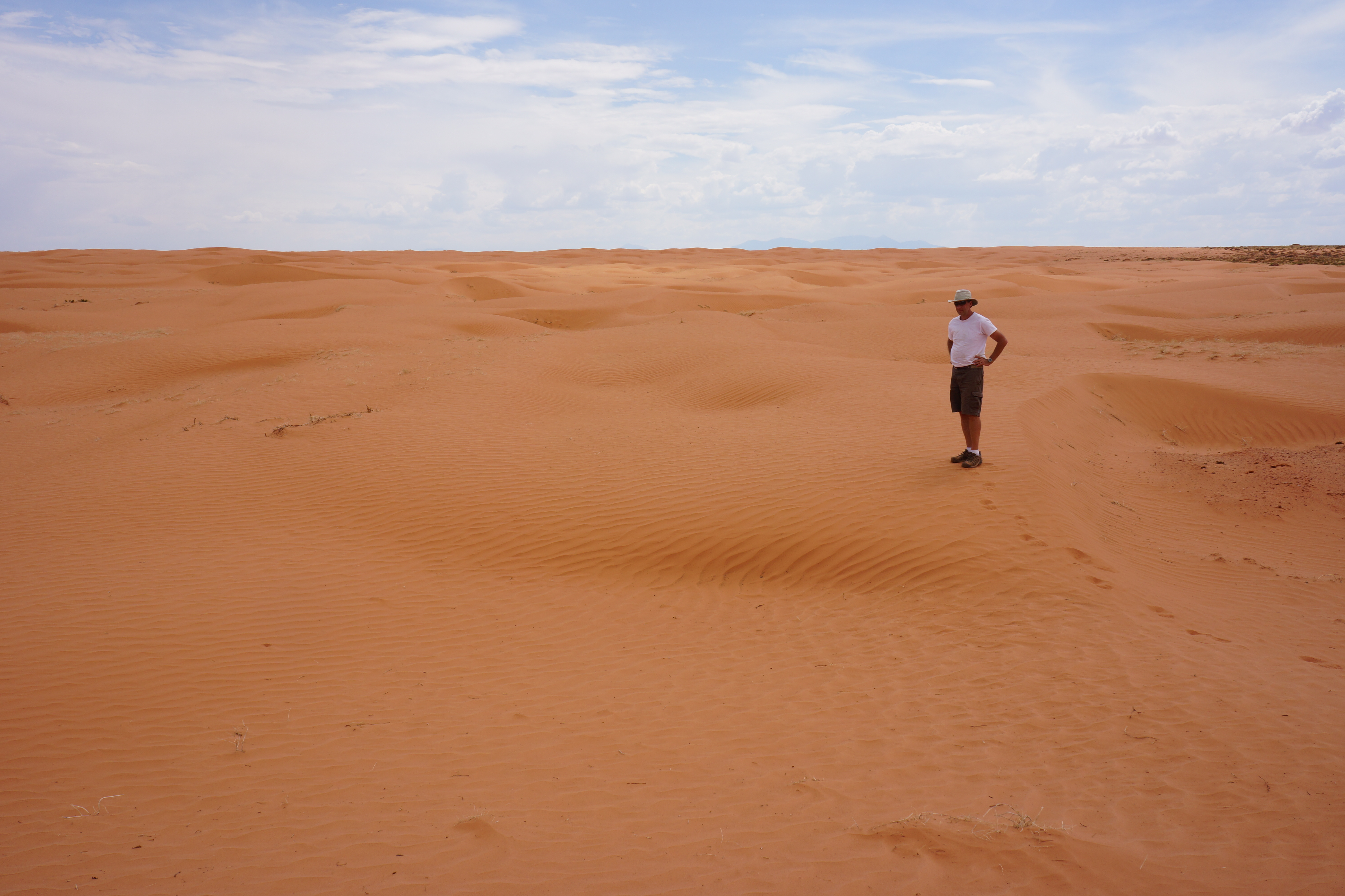
Sand Dunes
Dunes near Middle Canyon, Antelope Valley
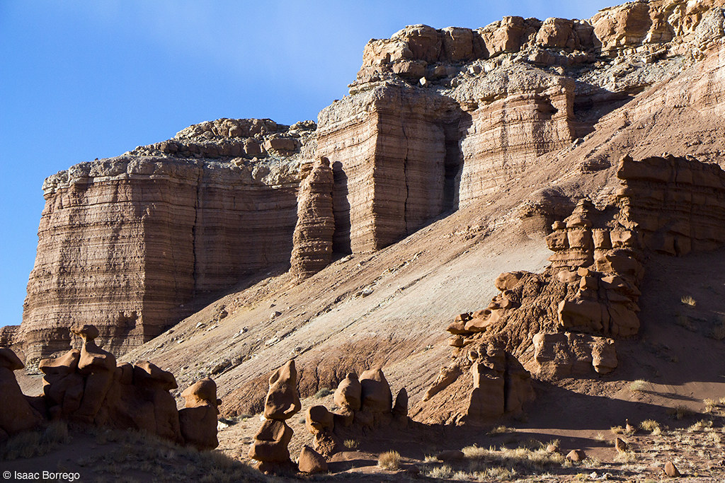
Evening at the Cliffs
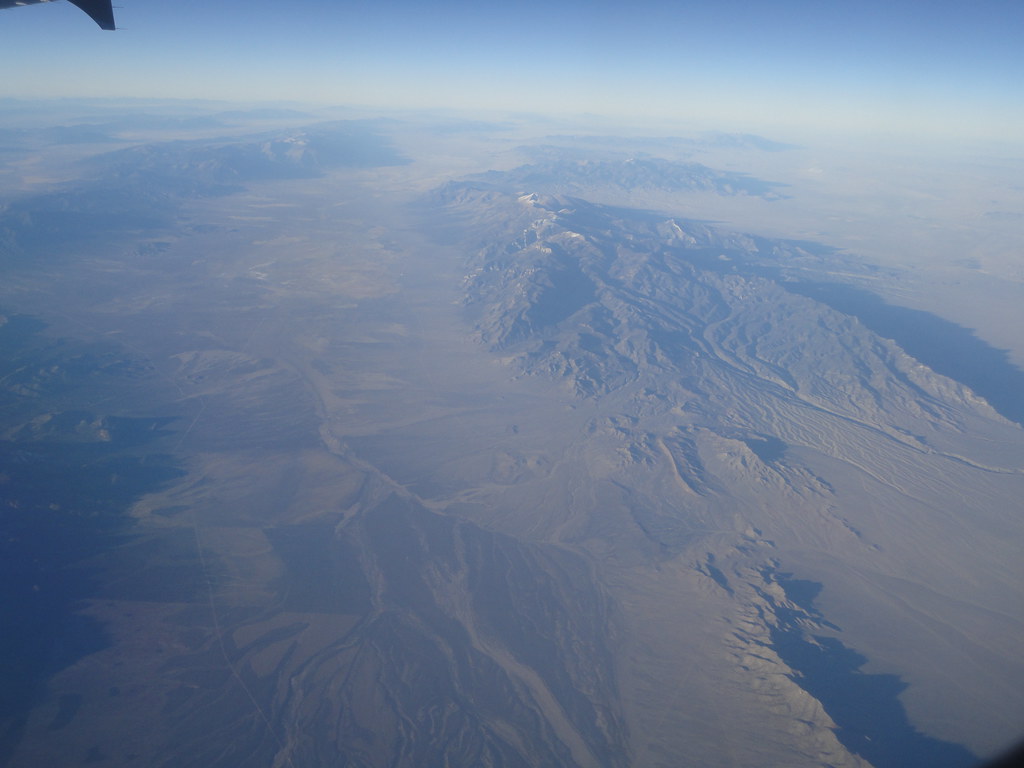
Somewhere Over Nevada

Desert dunes from Lower San Rafael Road, UT
Desert from Lower San Rafael Road, UT

The Cone
Flowing Desert dunes from Lower San Rafael Road, UT
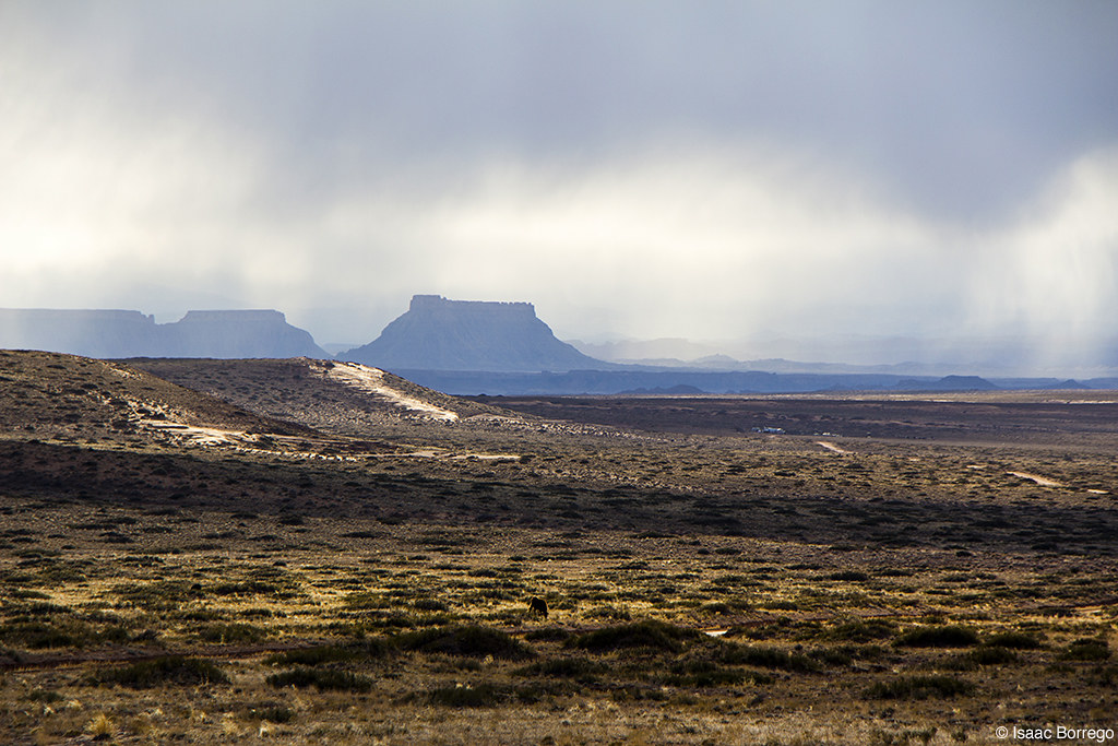
Mist around the Mesas

Lizard Tracks

Igneous Dike

La Sal Mountains
Topographic Map of Dugout Spring, Utah, USA
Find elevation by address:

Places near Dugout Spring, Utah, USA:
Little Gilson Butte
Temple Mountain
Robbers Roost Canyon
Goblin Valley State Park
Hanksville, UT, USA
San Rafael Swell
Buckhorn Draw Road
Hollow Mountain
E N, Hanksville, UT, USA
Hanksville
Green River
Little Wild Horse Canyon & Bell Canyon Trailhead
The Mars Desert Research Station - Mdrs Is A Private Research Facility Open By Appointment Only
Island In The Sky
Wayne County
Mesa Arch Trailhead
Mesa Arch
San Rafael River Road
Lands End
Grand View Point Road
Recent Searches:
- Elevation of Corso Fratelli Cairoli, 35, Macerata MC, Italy
- Elevation of Tallevast Rd, Sarasota, FL, USA
- Elevation of 4th St E, Sonoma, CA, USA
- Elevation of Black Hollow Rd, Pennsdale, PA, USA
- Elevation of Oakland Ave, Williamsport, PA, USA
- Elevation of Pedrógão Grande, Portugal
- Elevation of Klee Dr, Martinsburg, WV, USA
- Elevation of Via Roma, Pieranica CR, Italy
- Elevation of Tavkvetili Mountain, Georgia
- Elevation of Hartfords Bluff Cir, Mt Pleasant, SC, USA