Elevation map of Wayne County, UT, USA
Location: United States > Utah >
Longitude: -110.80760
Latitude: 38.3337024
Elevation: 1392m / 4567feet
Barometric Pressure: 86KPa
Elevation Map:
Satellite Map:
Related Photos:

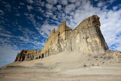
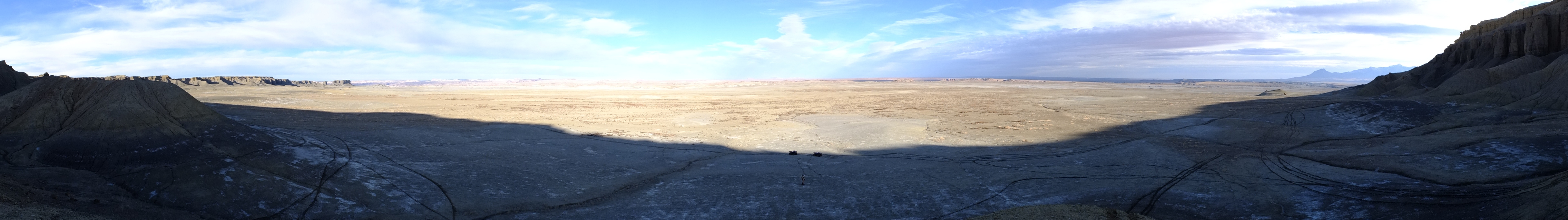
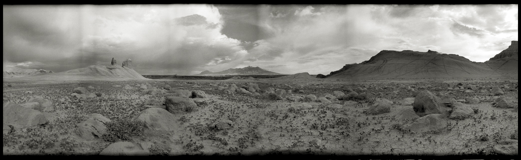
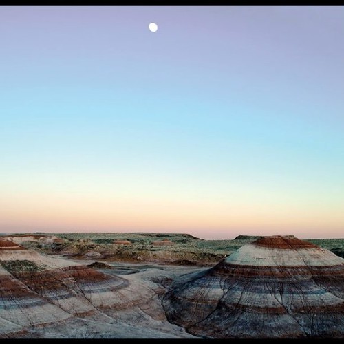
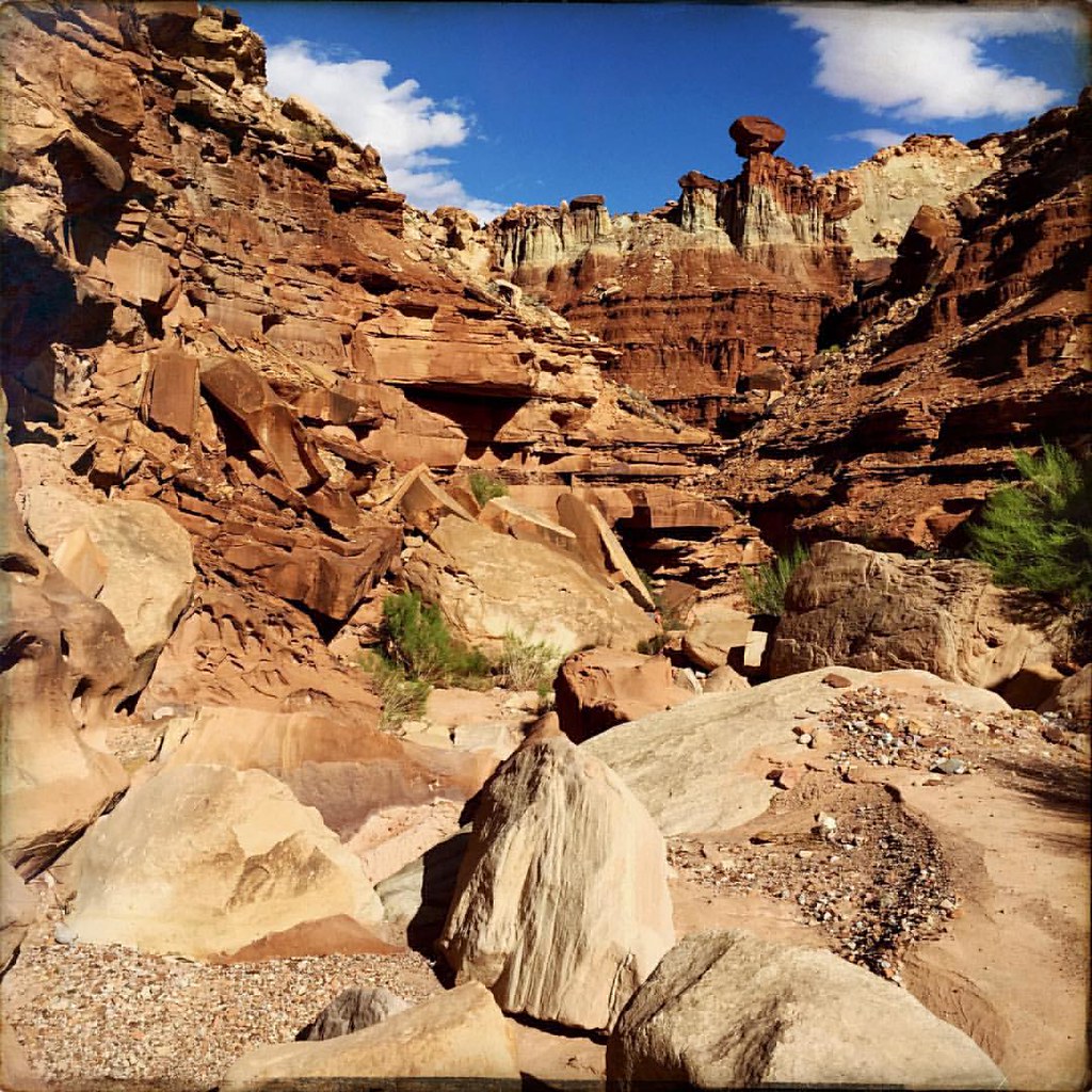
Factory-Butte Pano 1, Utah
blue valley, utah...
View from the White Sandstone

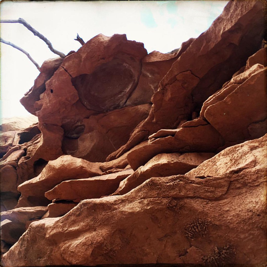
Fallen Pillar
Unexplored Country to the North
View from Blondies or the road to ride
I Can See My House from Here!
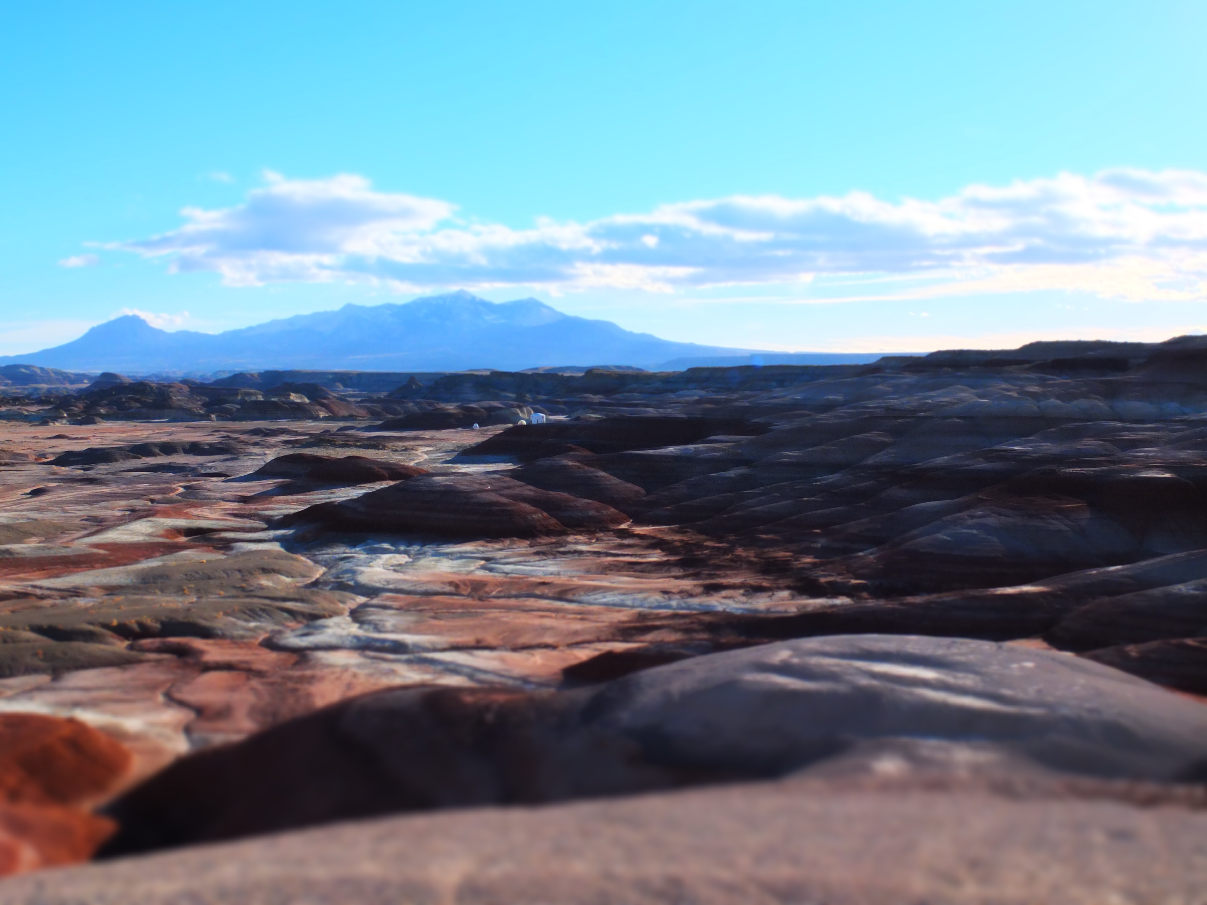
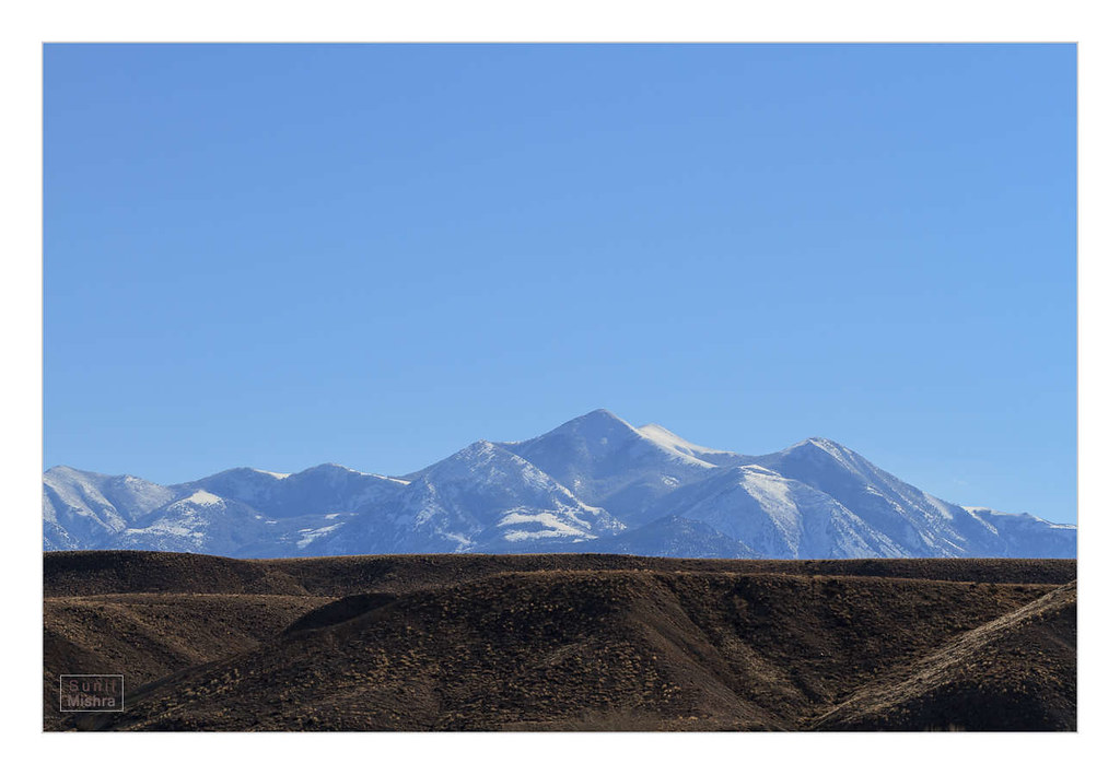
Henry Mountains
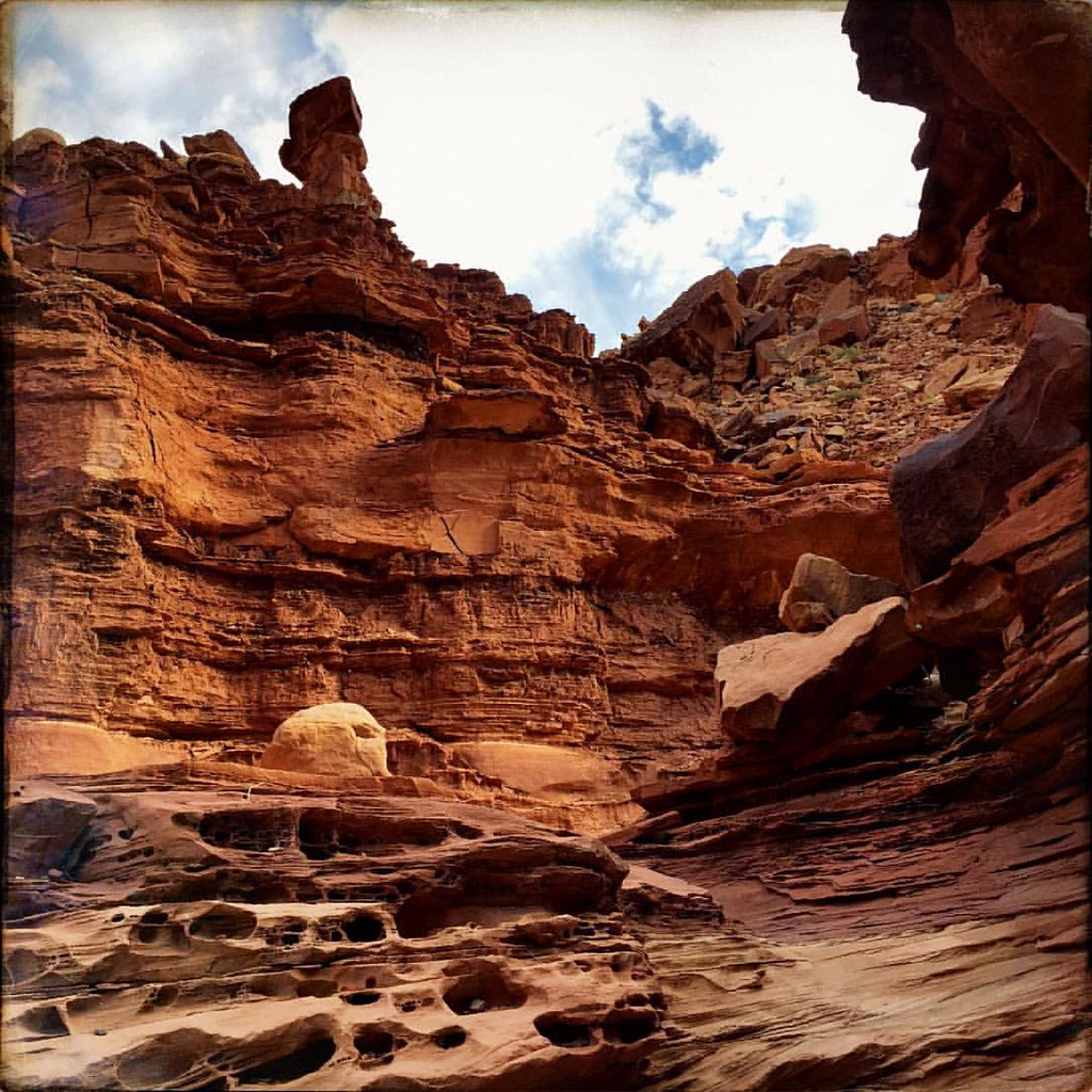
Teetering Rock Talus
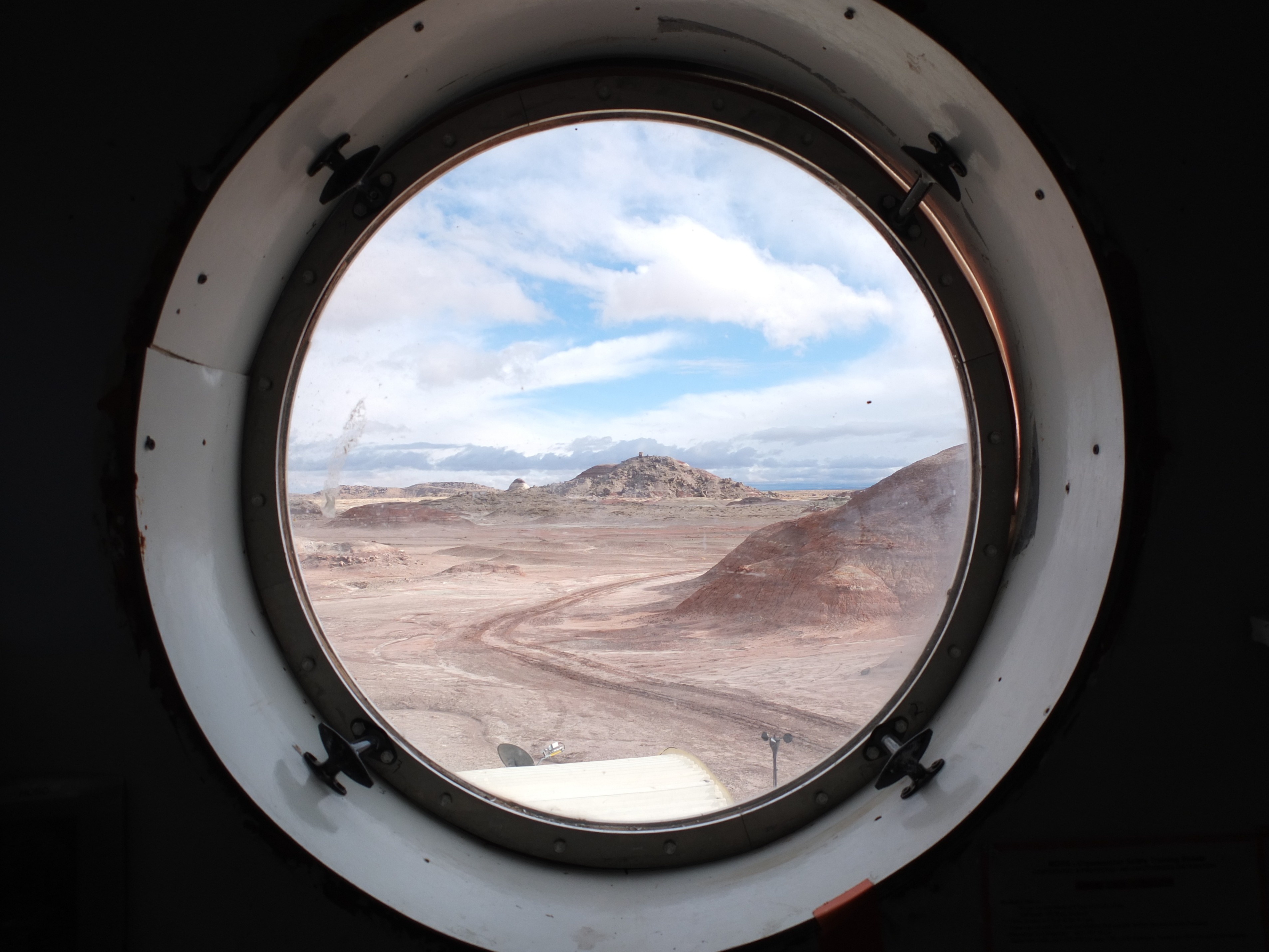
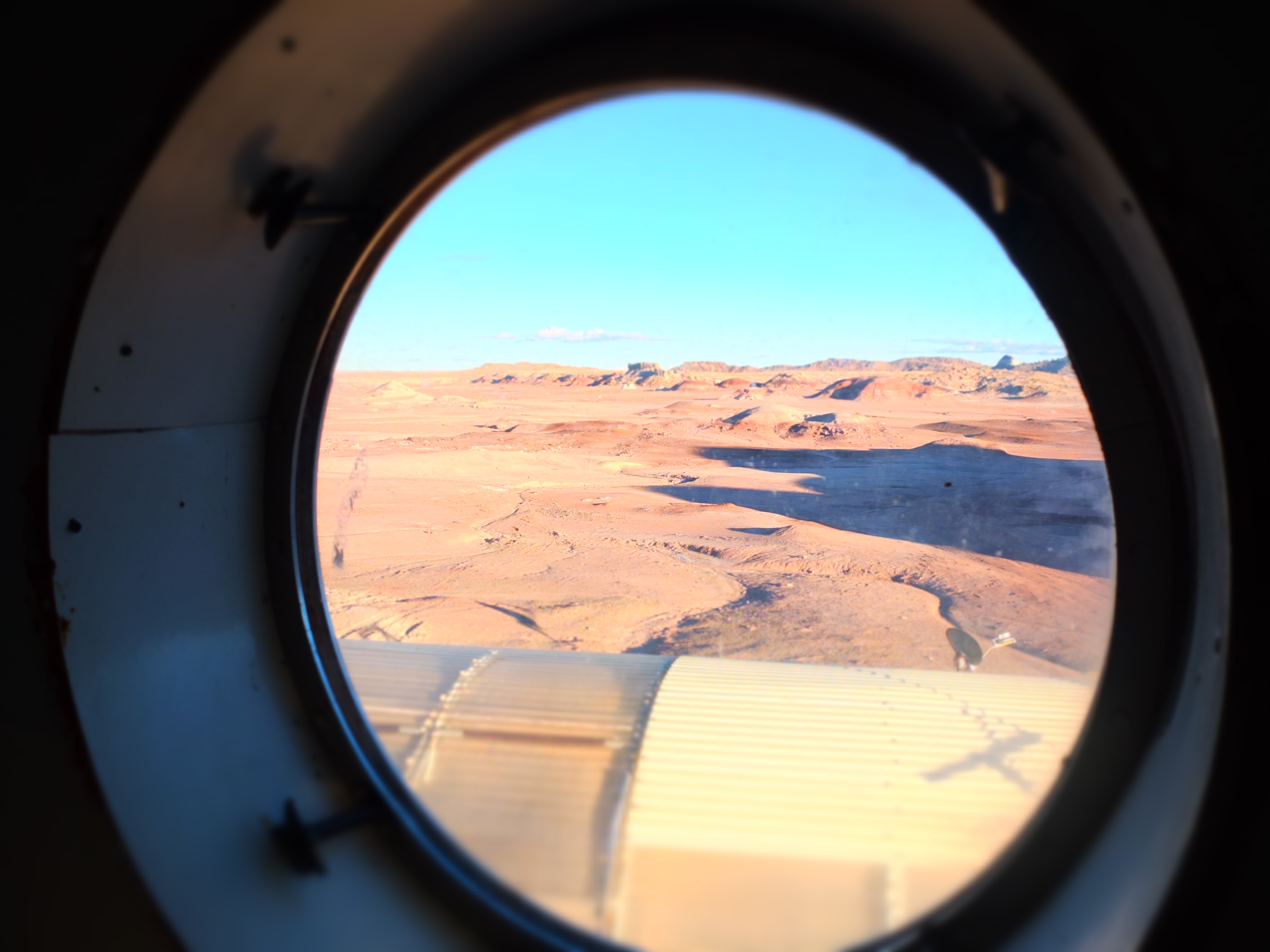
Final View Through the Hatch
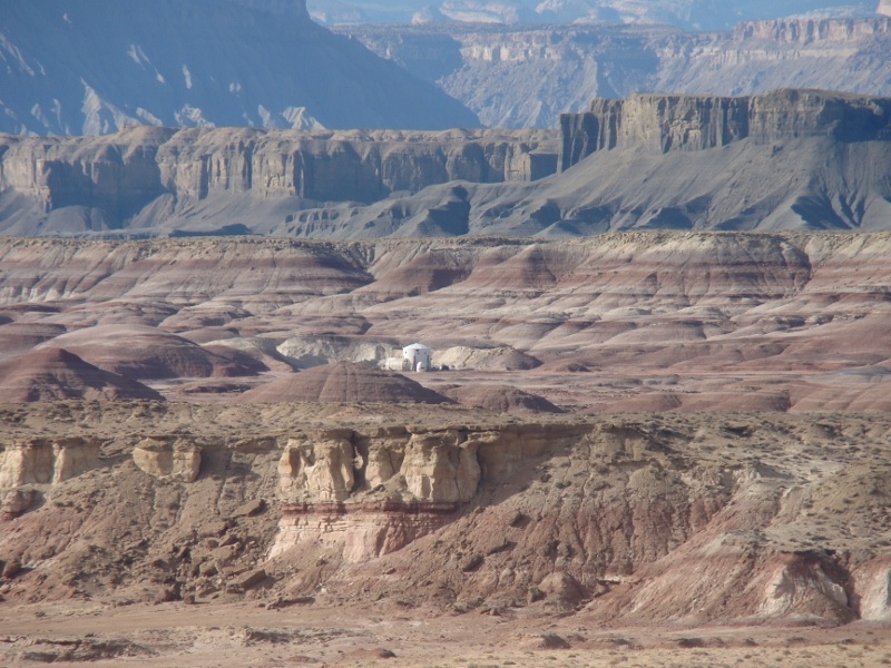
Crew 119: Sol 6, View from the Hab
Panorama Under Skyline Rim
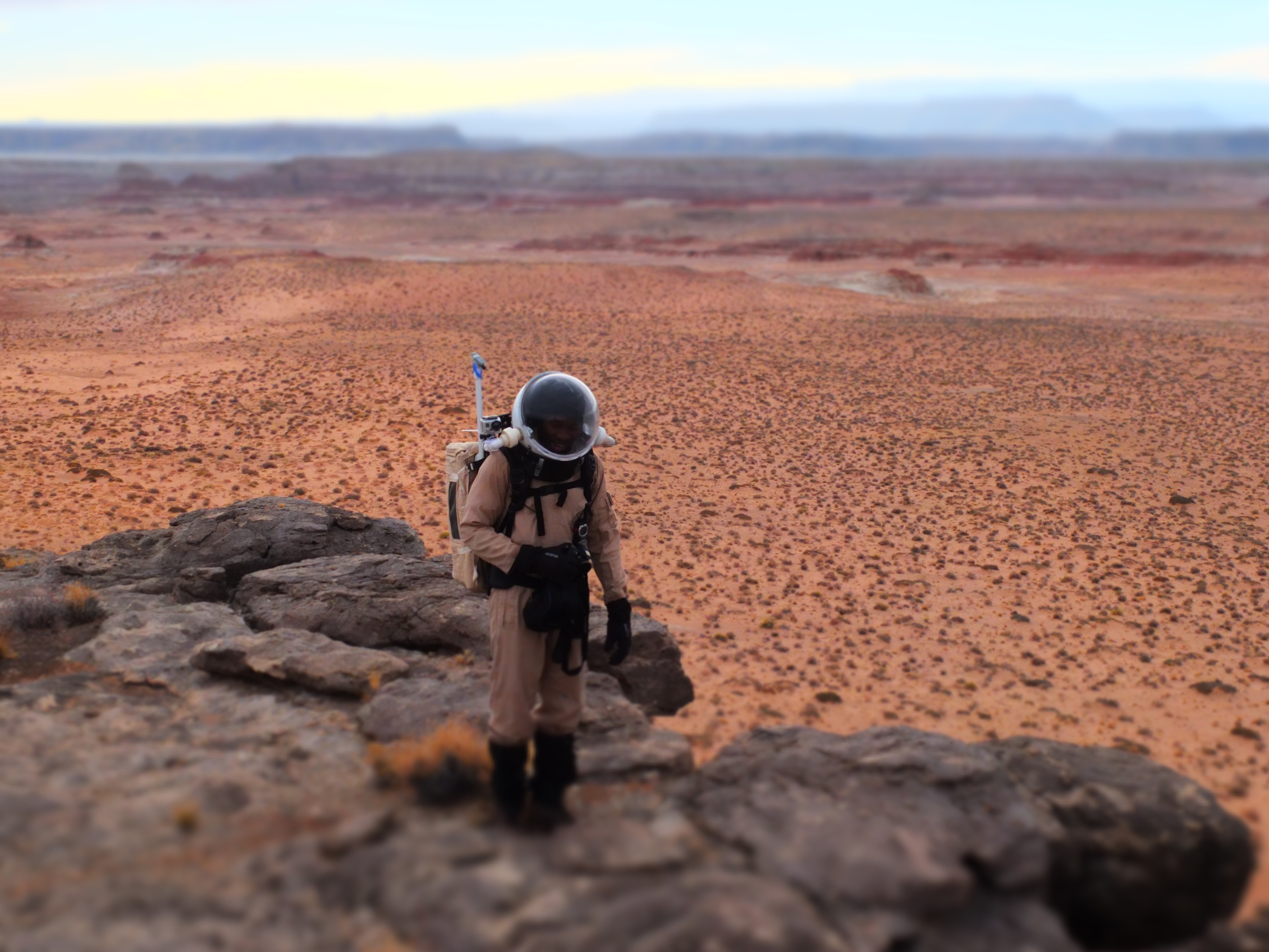
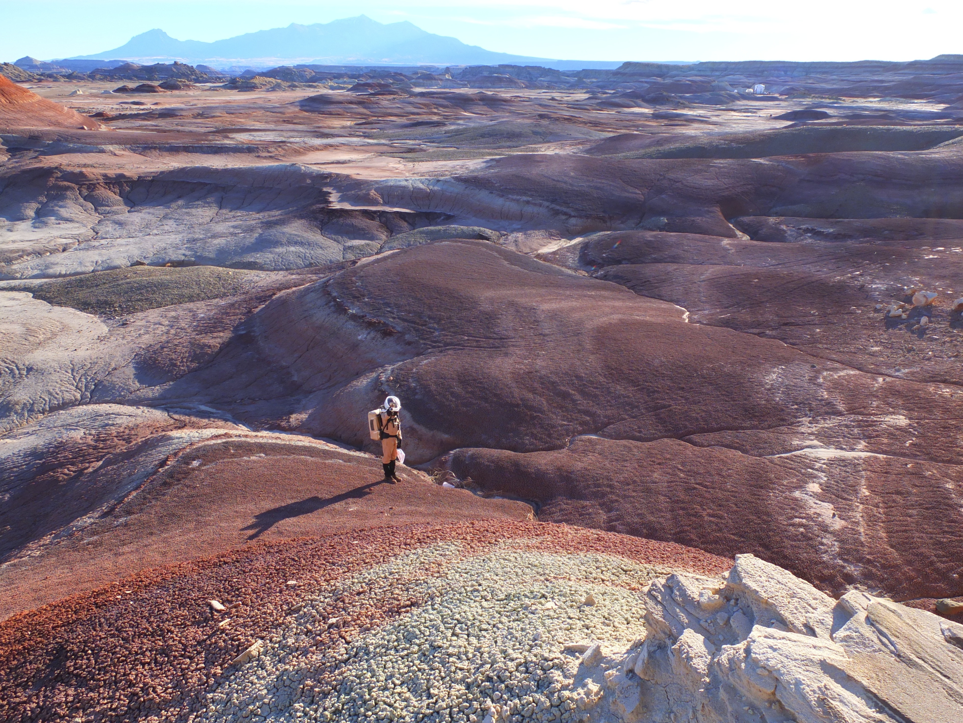
Habib on Pinto Peak
Crew 119: Sol 15, The Martian Sky Bids Farewell
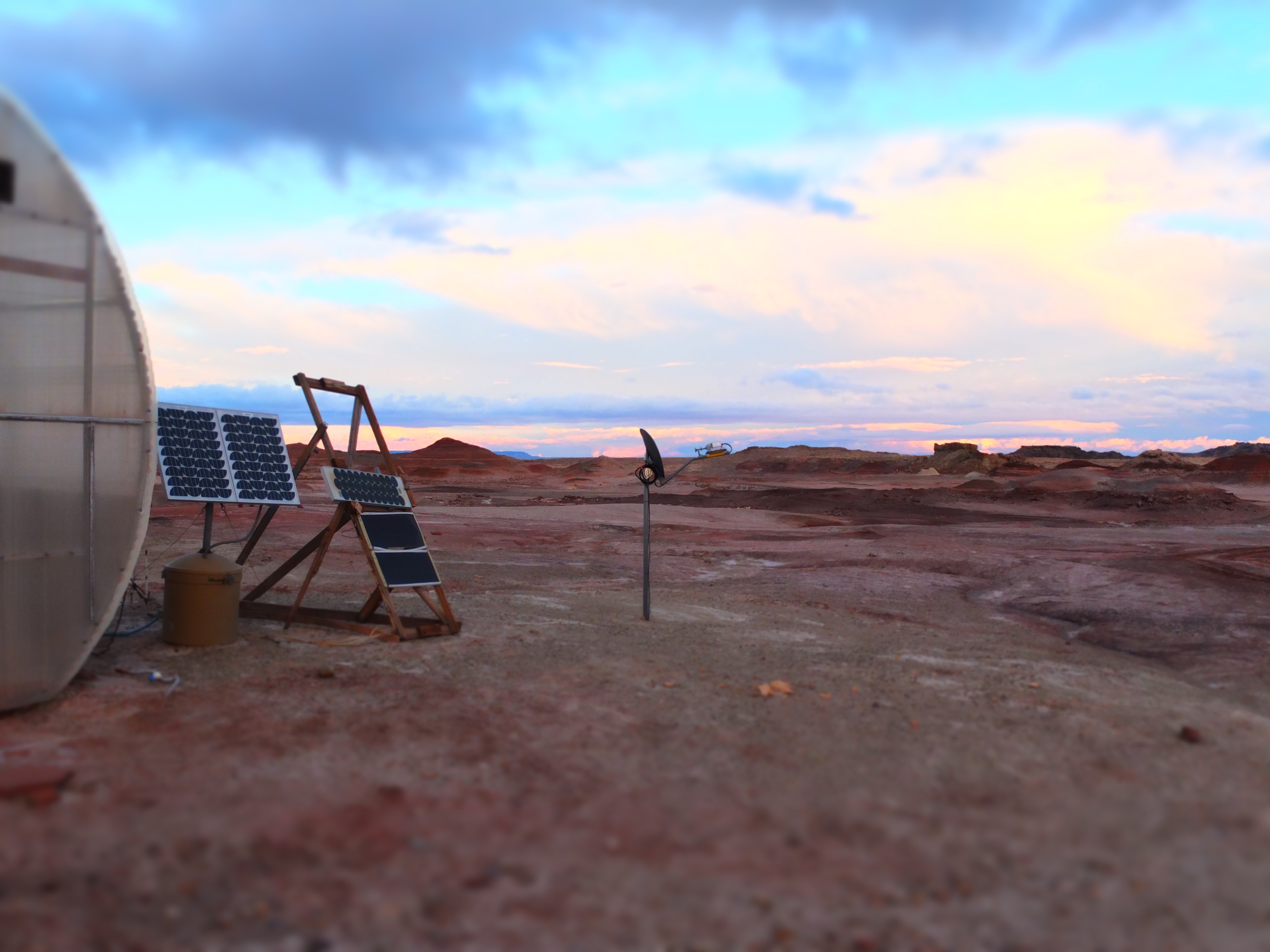
Hab from the Escarpment
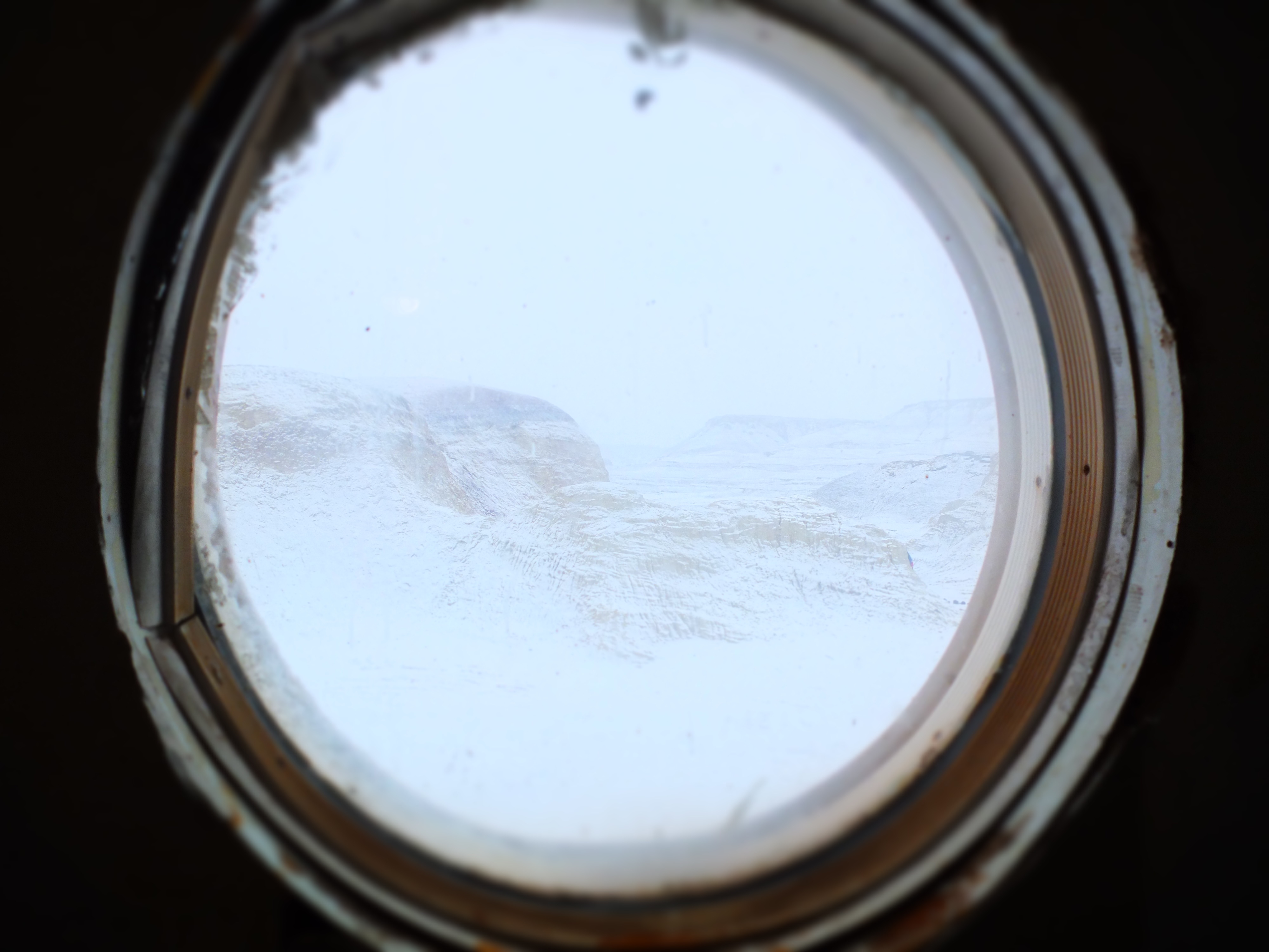
Snow Through the Hatch
W View from Pinto Peak
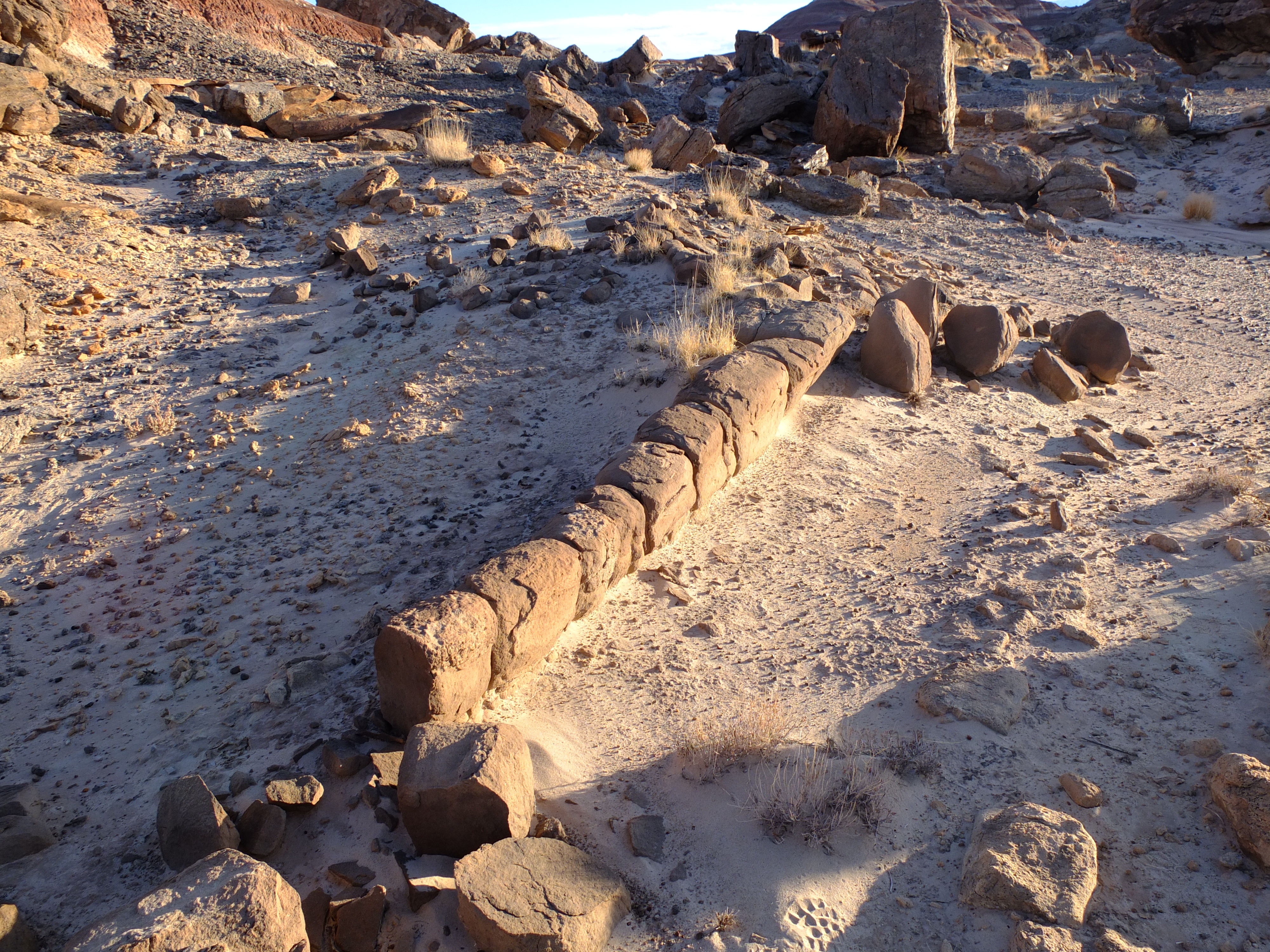
Fallen Pillar
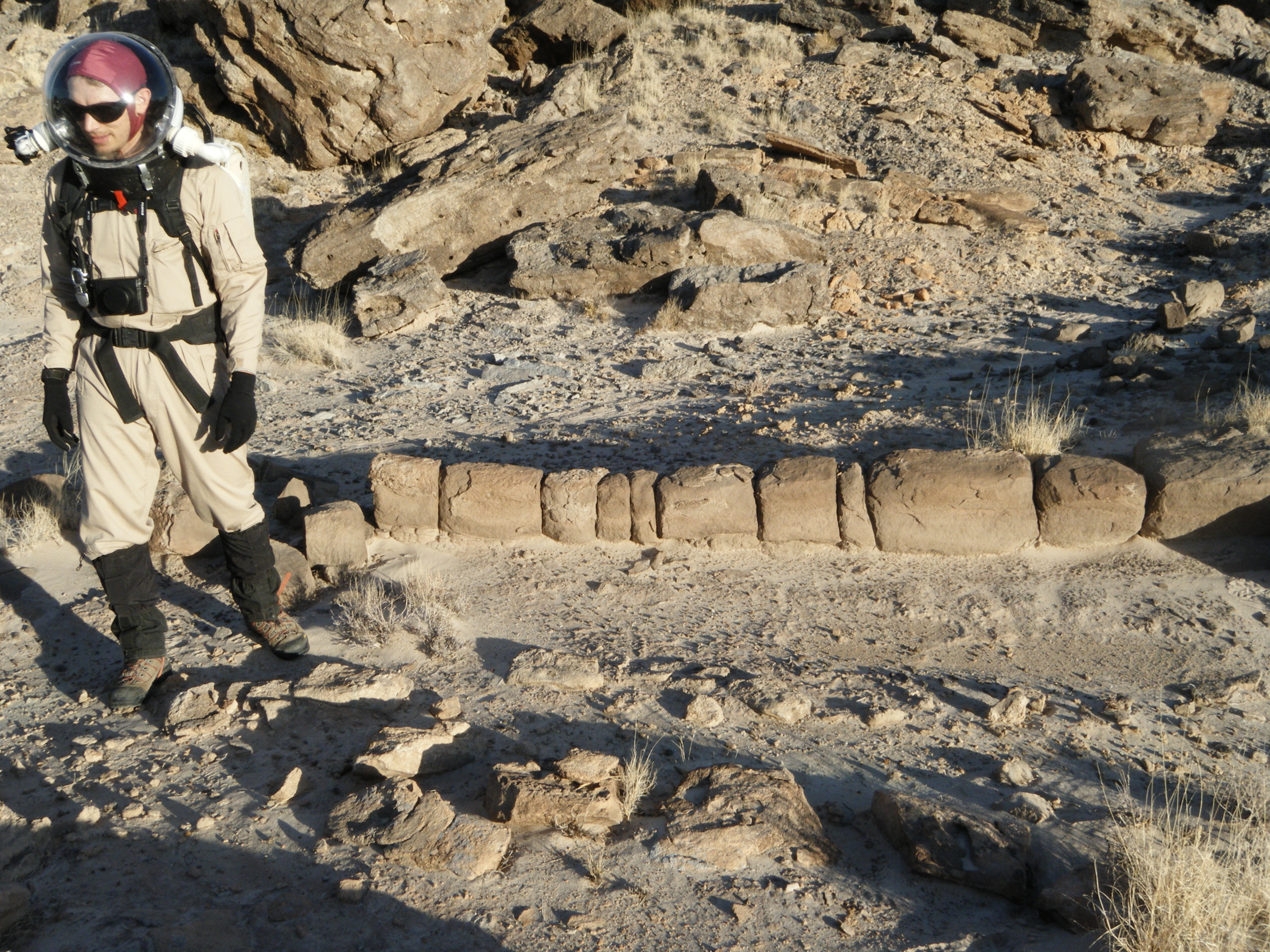
Next to the Fallen Pillar
Crew 119: Sol 10, Up the Northern Hill

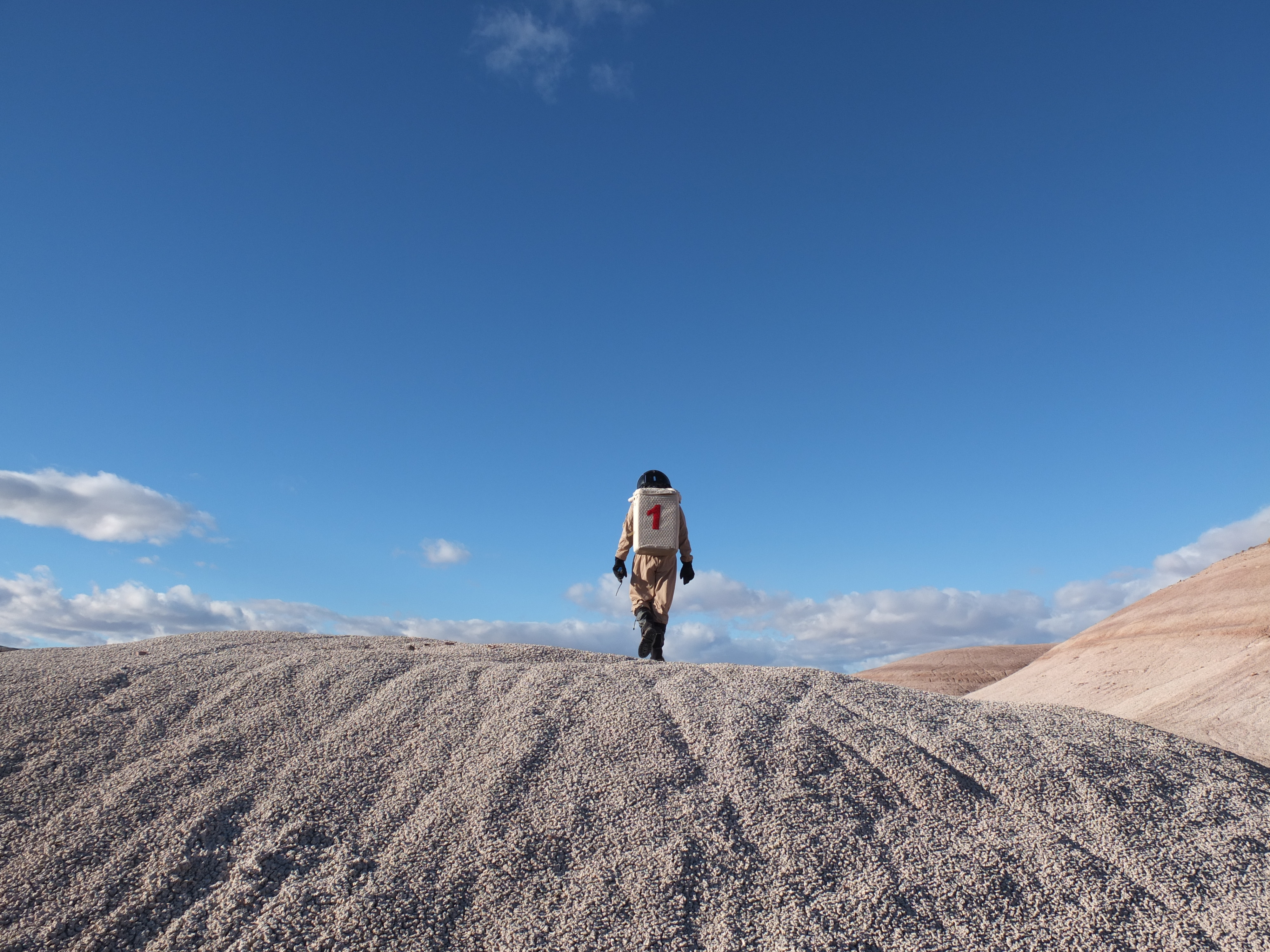
EVA Sol 6 B heading out
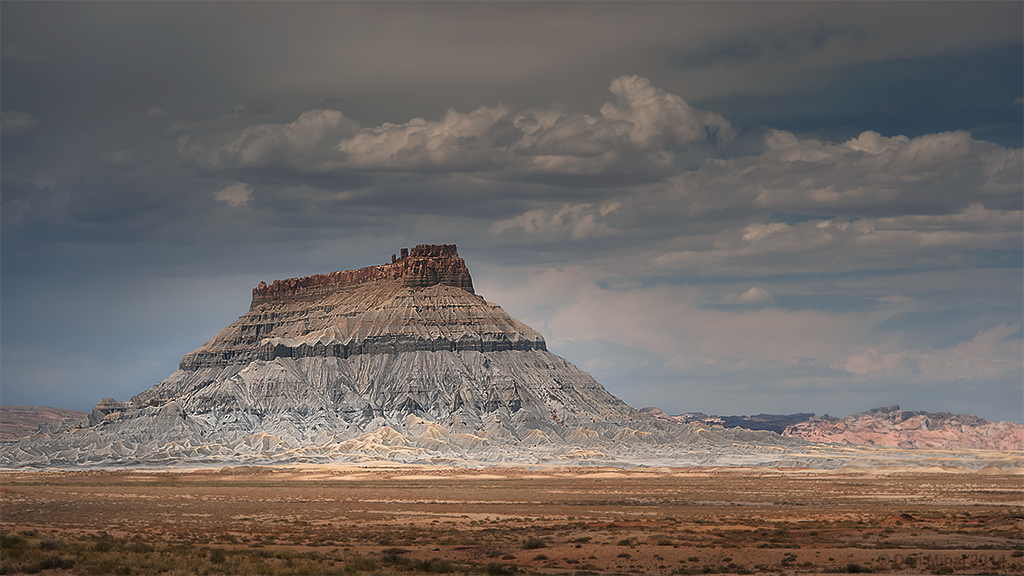
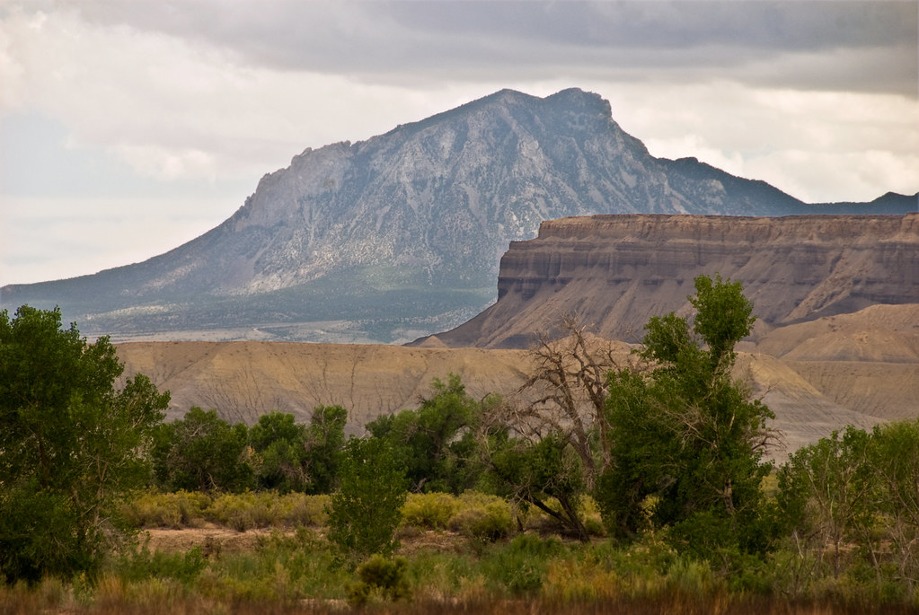
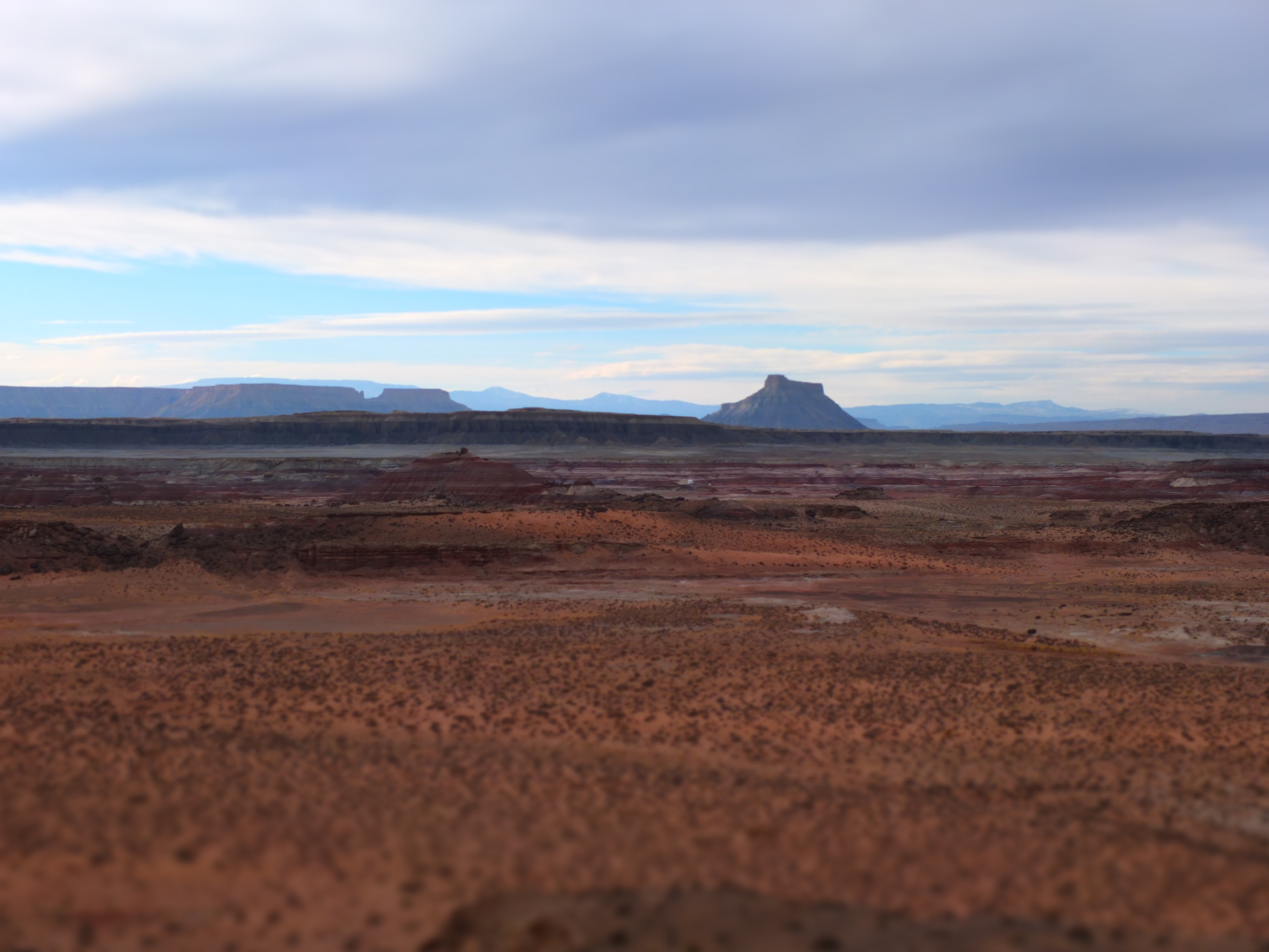
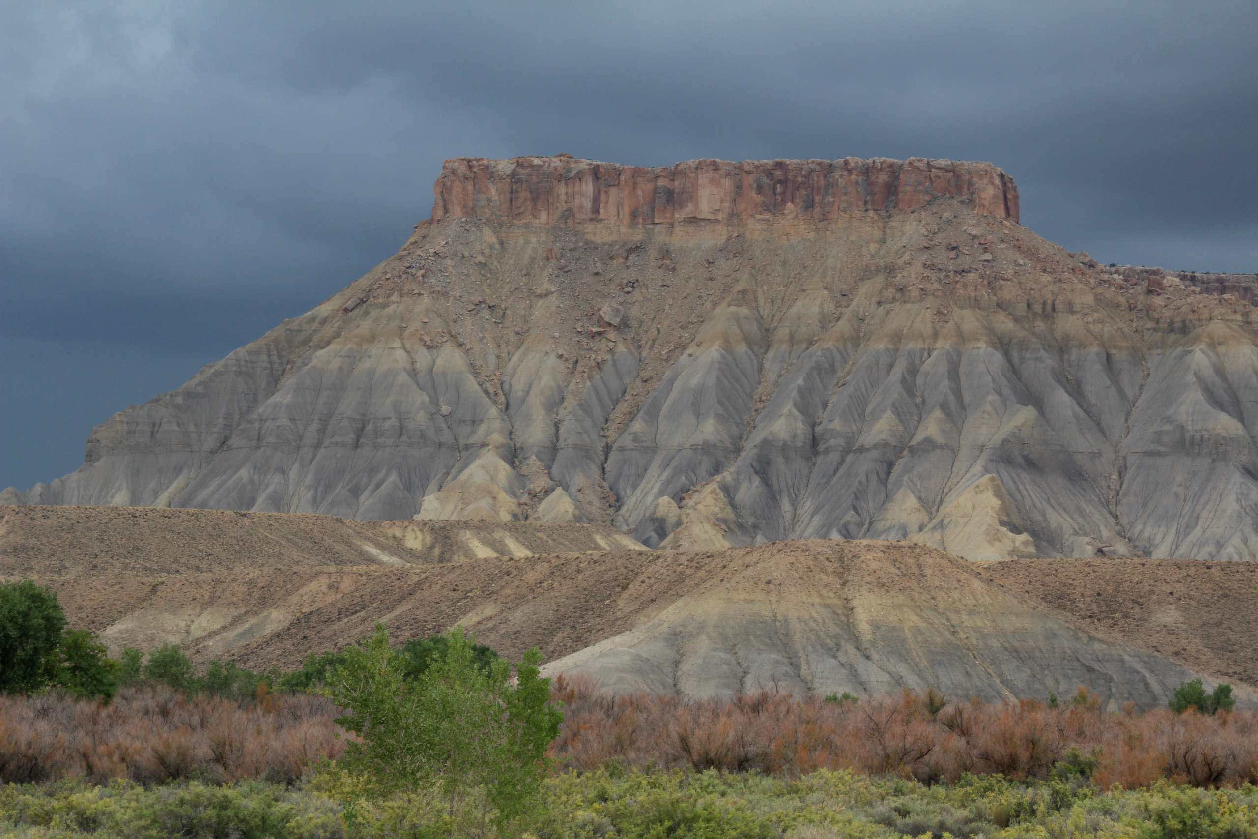
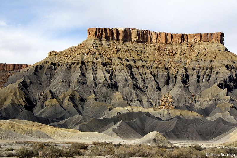
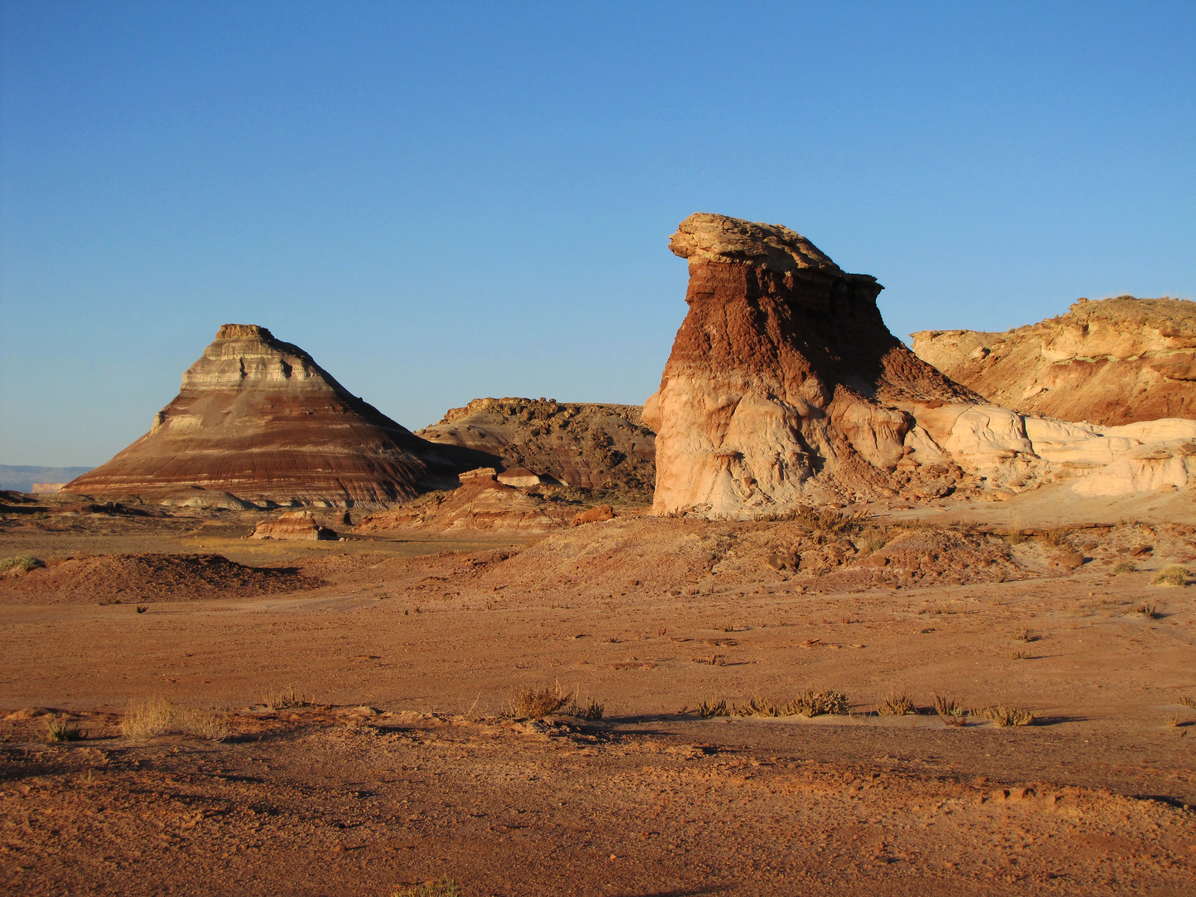
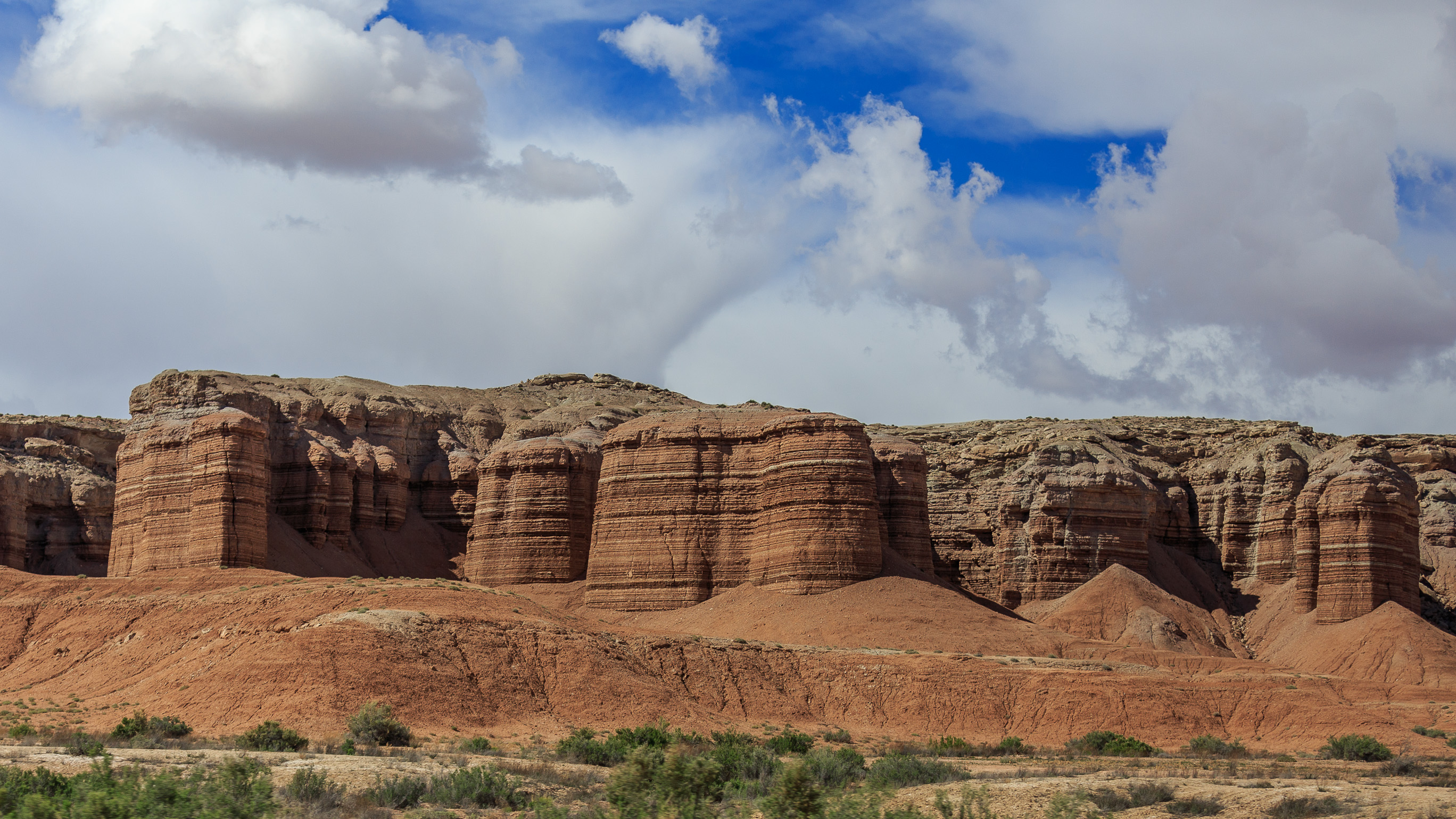
Factory Butte
West of Hanksville
Possibly the biggest challenge to living within a cylindrical habitant with 5 others is adjusting to the fact that outside is consider (and it might be) hostile
Art Tracks

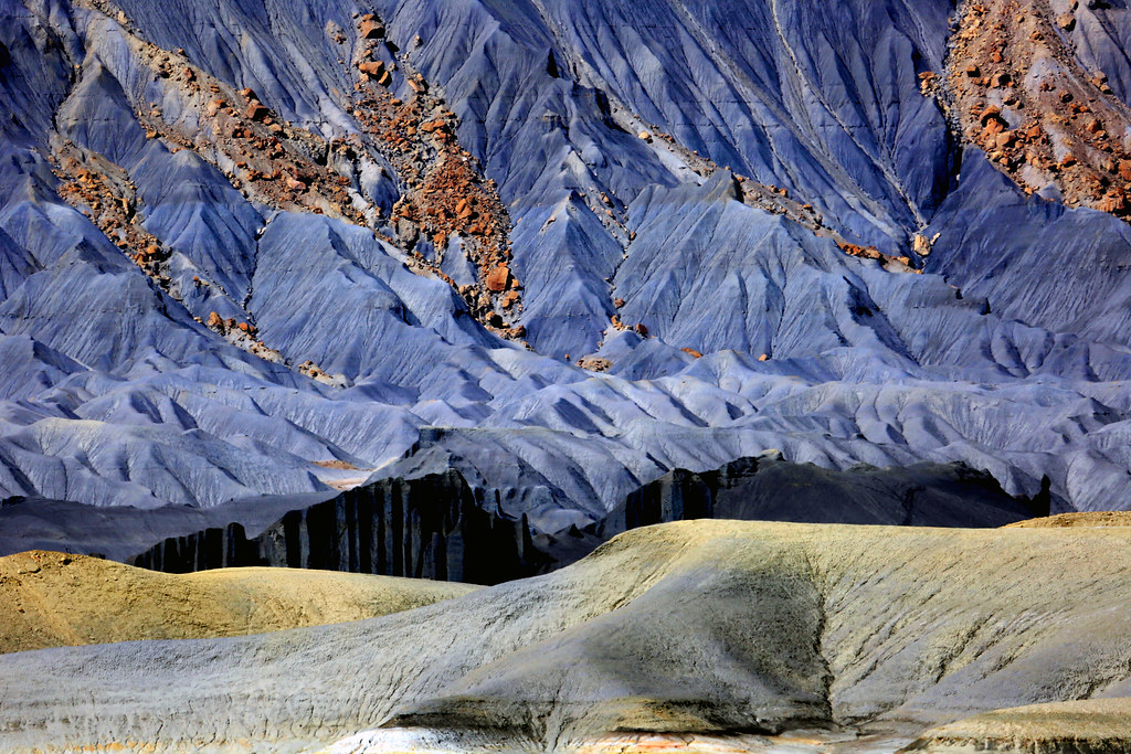
Purple sea
Upper Blue Hills, W of Hanksville, Utah
Scorup Canyon, Lake Powell, UT - September 2015
Scorup Canyon, Lake Powell, UT - September 2015
Utah-20141227-513
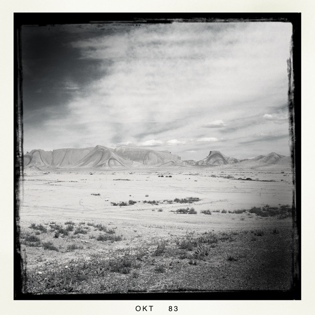
Roadside Badlands
The colors of Cow Dung Road #3

20150415-IMG_8279
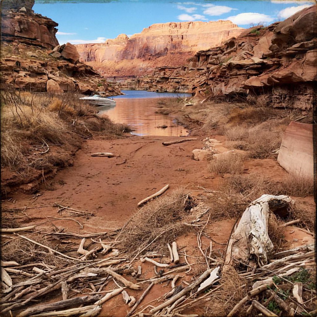
Scorup Canyon, Lake Powell, UT - September 2015
The colors of Cow Dung Road #4
Scorup Canyon, Lake Powell, UT - September 2015

IMG_2248.jpg

Henry Mountains, Utah Feb 2013 434
Scorup Canyon, Lake Powell, UT - September 2015
20150415-IMG_8261
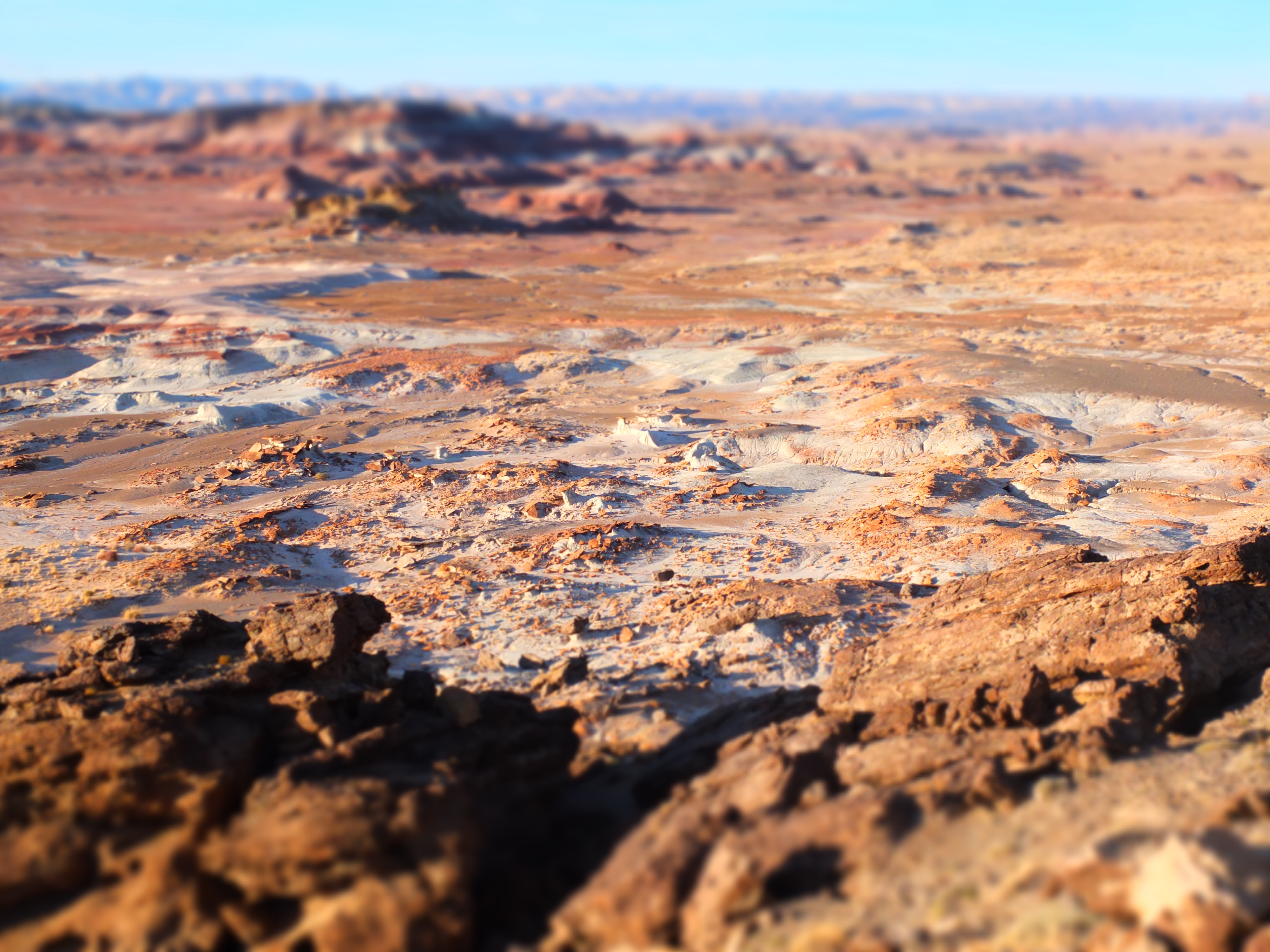
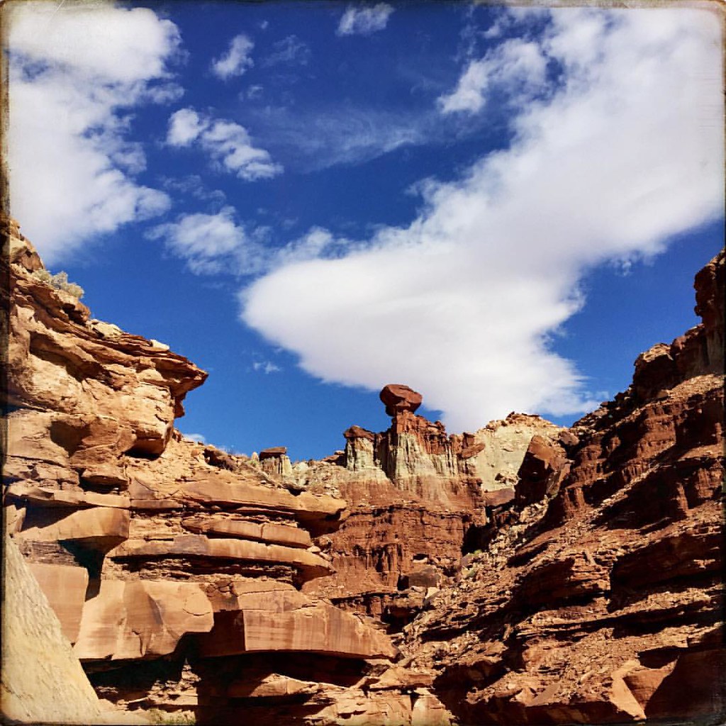
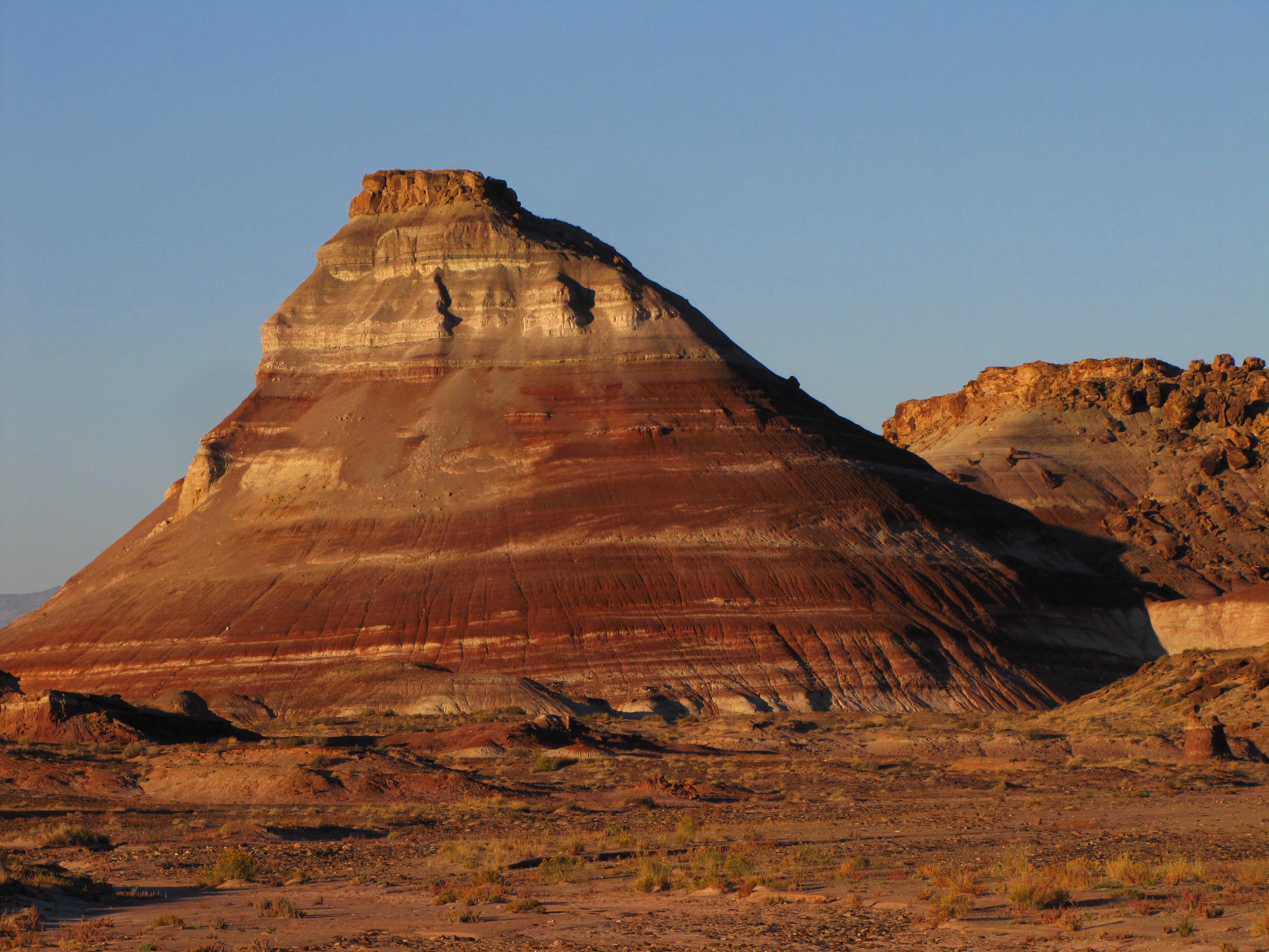
Factory Butte Erosion
Topographic Map of Wayne County, UT, USA
Find elevation by address:

Places in Wayne County, UT, USA:
Torrey
Teasdale
Hanksville
Thousand Lake Mountain
Grover
Fruita
Caineville
Bicknell
Capitol Reef
C925+g2
Loa
Places near Wayne County, UT, USA:
The Mars Desert Research Station - Mdrs Is A Private Research Facility Open By Appointment Only
Hanksville
E N, Hanksville, UT, USA
Hollow Mountain
Hanksville, UT, USA
Caineville
Little Wild Horse Canyon & Bell Canyon Trailhead
Goblin Valley State Park
Robbers Roost Canyon
East Hartnet Road South
Little Gilson Butte
Temple Mountain
San Rafael Swell
Dugout Spring
Buckhorn Draw Road
Lands End
Emery County
San Rafael River Road
Wedge Overlook
Unnamed Road
Recent Searches:
- Elevation of Corso Fratelli Cairoli, 35, Macerata MC, Italy
- Elevation of Tallevast Rd, Sarasota, FL, USA
- Elevation of 4th St E, Sonoma, CA, USA
- Elevation of Black Hollow Rd, Pennsdale, PA, USA
- Elevation of Oakland Ave, Williamsport, PA, USA
- Elevation of Pedrógão Grande, Portugal
- Elevation of Klee Dr, Martinsburg, WV, USA
- Elevation of Via Roma, Pieranica CR, Italy
- Elevation of Tavkvetili Mountain, Georgia
- Elevation of Hartfords Bluff Cir, Mt Pleasant, SC, USA