Elevation of Sand Lick Road, Sand Lick Rd, Kentucky, USA
Location: United States > Kentucky >
Longitude: -84.001665
Latitude: 37.5278359
Elevation: 416m / 1365feet
Barometric Pressure: 96KPa
Elevation Map:
Satellite Map:
Related Photos:
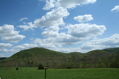
IMG_5444.JPG
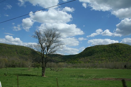
IMG_5447.JPG
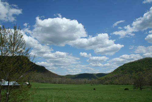
IMG_5445.JPG
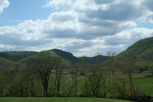
IMG_5442.JPG
IMG_5460.JPG
IMG_5455.JPG
IMG_5454.JPG
IMG_5440.JPG
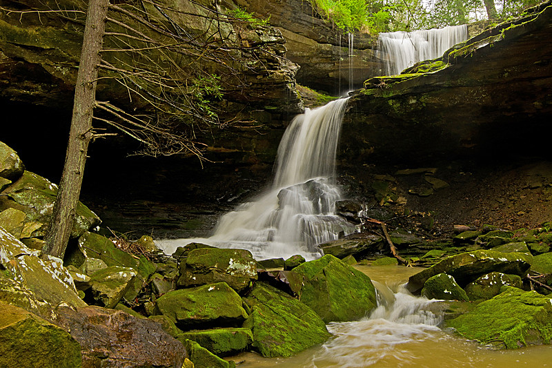
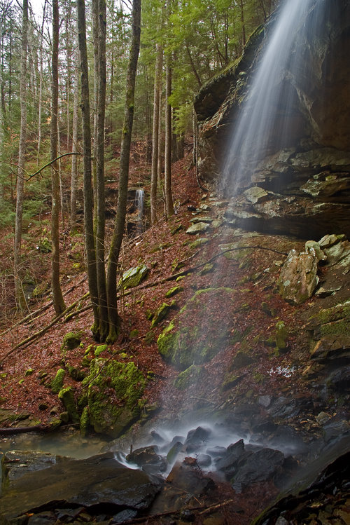
McCammon Falls

Lower part of McCammon Falls
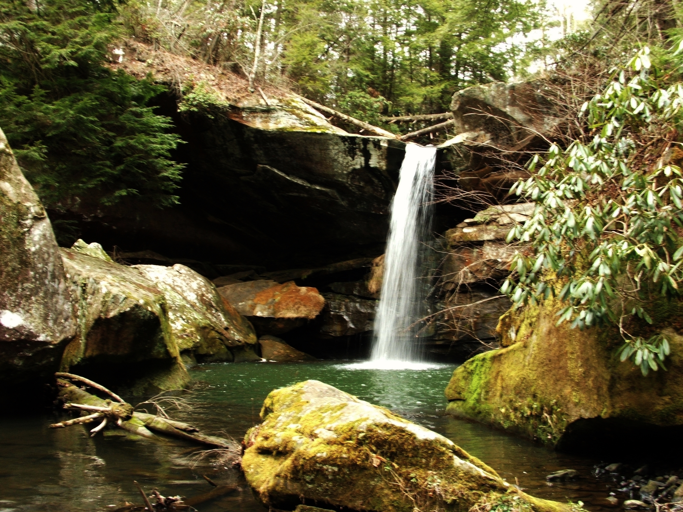
Flat Lick Falls
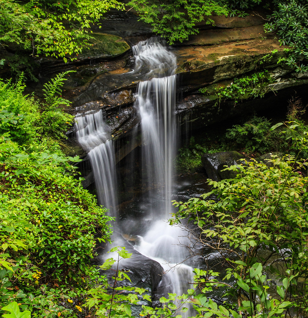
McCammon Falls
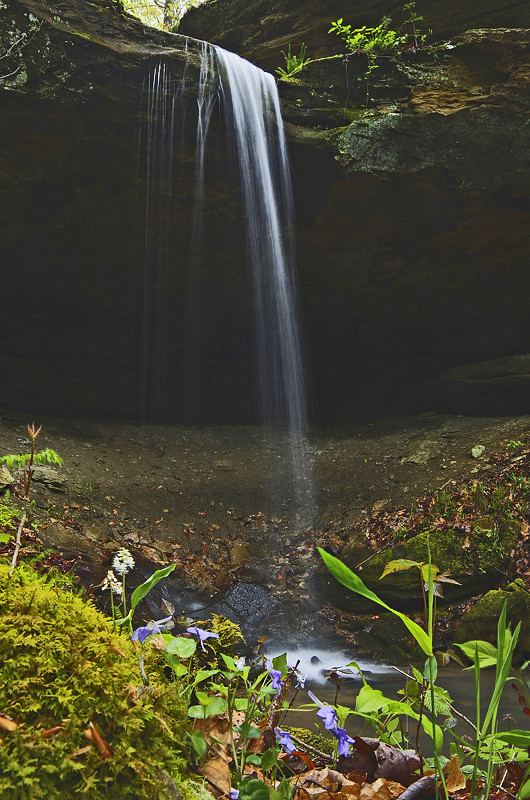
Small waterfall near Alcorn Falls
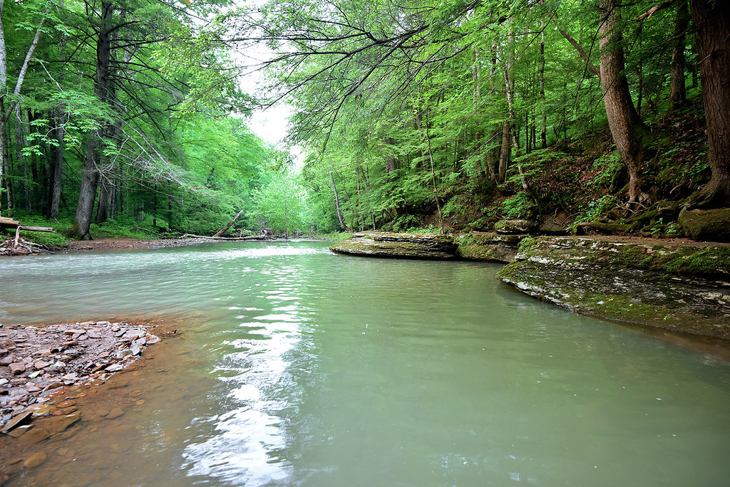
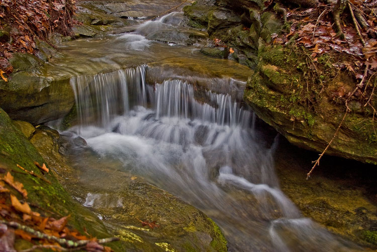
War Fork Creek
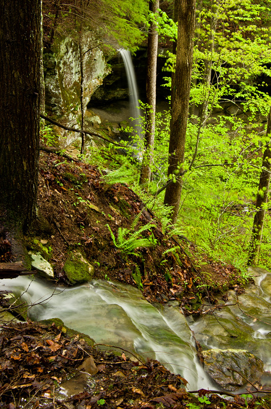
The approach of Alcorn Falls
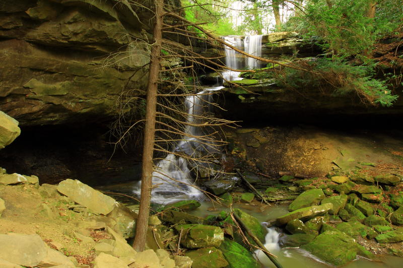
Falls of McCammon
Alcorn Falls.
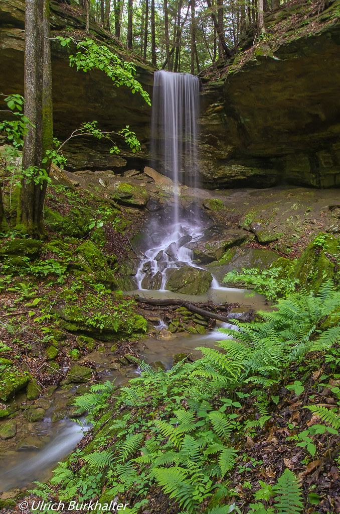
Alcorn Branch Falls , KY
Alcorn Branch Falls, KY
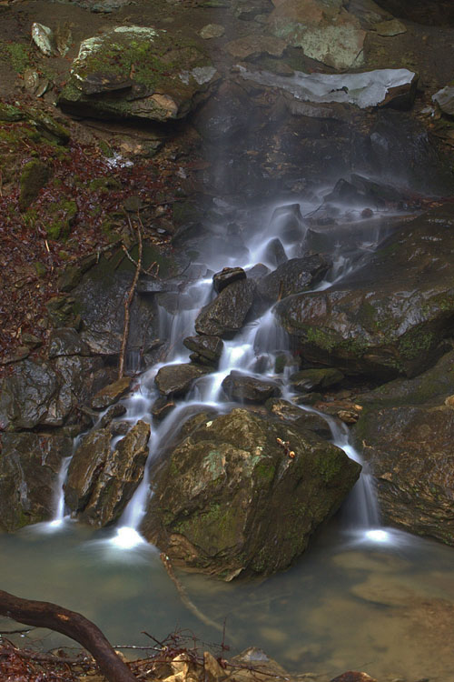
Alcorn Branch Falls, KY
Topographic Map of Sand Lick Road, Sand Lick Rd, Kentucky, USA
Find elevation by address:

Places near Sand Lick Road, Sand Lick Rd, Kentucky, USA:
Hisel-blanton Flats Road
595-599
9015 Mckee Rd
Kissey Branch Rd, Irvine, KY, USA
Mckee
41 Us-421
Sandgap
Alumbaugh
US-, McKee, KY, USA
Cr-1703
Jackson County
Barnes Mountain Road
20 Harrison Rd
1000 Round Mountain Rd
1005 Round Mountain Rd
Wisemantown
165 Sugar Hollow Road
Kentucky 3445
1265 South Irvine Road
Wisemantown Road
Recent Searches:
- Elevation of Corso Fratelli Cairoli, 35, Macerata MC, Italy
- Elevation of Tallevast Rd, Sarasota, FL, USA
- Elevation of 4th St E, Sonoma, CA, USA
- Elevation of Black Hollow Rd, Pennsdale, PA, USA
- Elevation of Oakland Ave, Williamsport, PA, USA
- Elevation of Pedrógão Grande, Portugal
- Elevation of Klee Dr, Martinsburg, WV, USA
- Elevation of Via Roma, Pieranica CR, Italy
- Elevation of Tavkvetili Mountain, Georgia
- Elevation of Hartfords Bluff Cir, Mt Pleasant, SC, USA