Elevation of Sandgap, KY, USA

Location: United States > Kentucky > Jackson County >

Longitude: -84.090485

Latitude: 37.4861962

Elevation: 447m / 1467feet

Barometric Pressure: 96KPa

Elevation Map:

elevation map of Sandgap, KY, USA

Satellite Map:

Satellite map of Sandgap, KY, USA

Related Photos:

bereaky imgp2673edited3
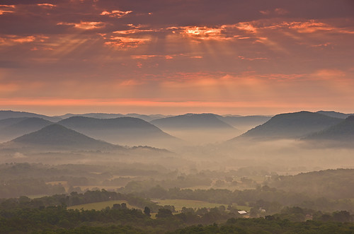
Foggy morning view from Eagle's Nest on Indian Fort Mountain in Berea, KY
bereaky indianfortmountain 1edited6 westpinnacleforest westpinacle
West Pinnacle forest trail. Berea , KY
ky berea bereaky pentaxart imgp2644edited2
Foggy sunrise view from Eagle's Nest on Indian Fort Mountain in Berea, KY
bereaky imgp2588edited2
Something a little different.......
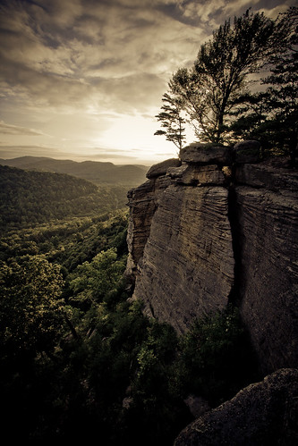
view bereakentucky eastpinnacles
Berea Pinnacles
bereaky imgp2691edited2
Foggy sunrise view from Eagle's Nest on Indian Fort Mountain in Berea, KY
geotagged geo:lat=37605897663 geo:lon=84033728382
IMG_5460.JPG
geotagged geo:lat=3761791857 geo:lon=84020036627
IMG_5465.JPG
geotagged geo:lat=3759100914 geo:lon=84113130569
IMG_5441.JPG
geotagged geo:lat=37600122532 geo:lon=84042464588
IMG_5454.JPG
geotagged geo:lat=3759100914 geo:lon=84113130569
IMG_5444.JPG
geotagged geo:lat=376003141419603 geo:lon=840420004820962
IMG_5455.JPG
geotagged geo:lat=375960379469516 geo:lon=840523622741502
IMG_5447.JPG
geotagged geo:lat=3759100914 geo:lon=84113130569
IMG_5443.JPG
geotagged geo:lat=37591213407 geo:lon=84112249883
IMG_5445.JPG
geotagged geo:lat=3759100914 geo:lon=84113130569
IMG_5442.JPG
geotagged geo:lat=3759100914 geo:lon=84113130569
IMG_5440.JPG
geotagged geo:lat=375926633920105 geo:lon=841859959620961
IMG_5430.JPG
geotagged geo:lat=375925087460021 geo:lon=841849303710145
IMG_5431.JPG
geotagged geo:lat=375862391670408 geo:lon=841742059770934
IMG_5434.JPG
geotagged geo:lat=37592506064 geo:lon=84184912099
IMG_5433.JPG
water creek forest kentucky foliage campground jacksoncounty turkeyfoot danialboonenationalforest warforkcreek turkeyfootcampground
War Fork Creek
trees sky cliff mountain tree topc25 topv111 topv2222 clouds landscape topf50 topv555 topv333 topf75 kentucky topv1111 topv999 100v10f topv777 1000v100f topv3333 topf100 1022mm top25 berea naturesfinest 50f500v indianformountain
Bliss and ReUnion
falls 01 anglin anglinfalls 005p2edited1
Anglin Falls near Berea, KY
pentaxart igp7258pedited4
Sunrise over the Eastern Kentucky hills.
kentucky tripod waterfalls appalachia easternkentucky danielboonenationalforest mckeekentucky kentuckywaterfalls
Flat Lick Falls
landscape waterfall
Anglin Falls
landscape scenery bluegrass pentax kentucky samson scannedslide butterscotch berea supera pentaxfilmslr smartscan3600
Edge of the Bluegrass from Indian Fort Mtn, Kentucky
Autumn, Berea Forest