Elevation of - Coal Rd, McKee, KY, USA
Location: United States > Kentucky > Jackson County > Mckee >
Longitude: -84.195460
Latitude: 37.5187515
Elevation: 451m / 1480feet
Barometric Pressure: 96KPa
Elevation Map:
Satellite Map:
Related Photos:
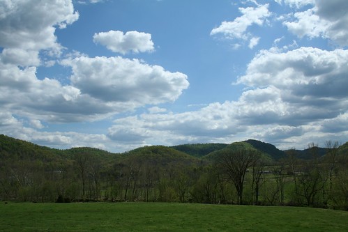
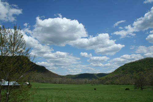
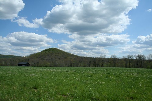
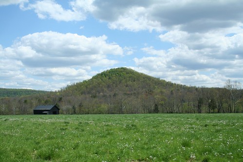
IMG_5441.JPG
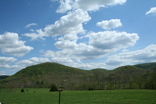
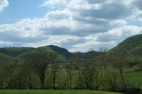
IMG_5444.JPG
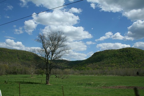
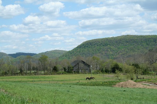
IMG_5447.JPG
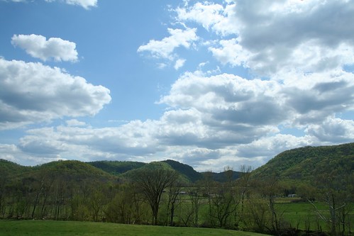
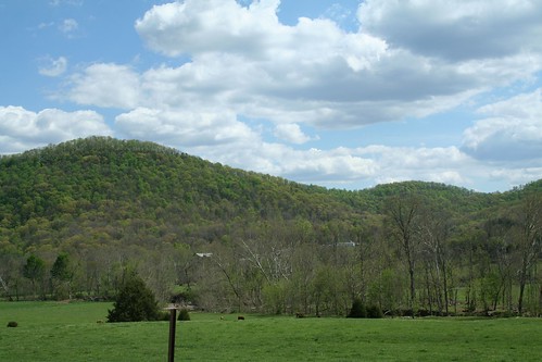
IMG_5440.JPG
IMG_5445.JPG
IMG_5442.JPG
IMG_5430.JPG
IMG_5443.JPG
IMG_5433.JPG
IMG_5429.JPG
IMG_5434.JPG
IMG_5425.JPG
IMG_5431.JPG

Lovely view of the Phelps Stokes Chapel at @berea_college #buildings #photoart #artsy #berea #visitberea
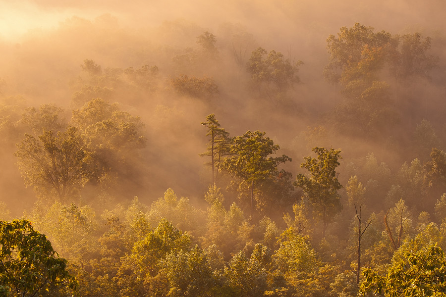
Foggy morning view from Eagle's Nest on Indian Fort Mountain in Berea, KY

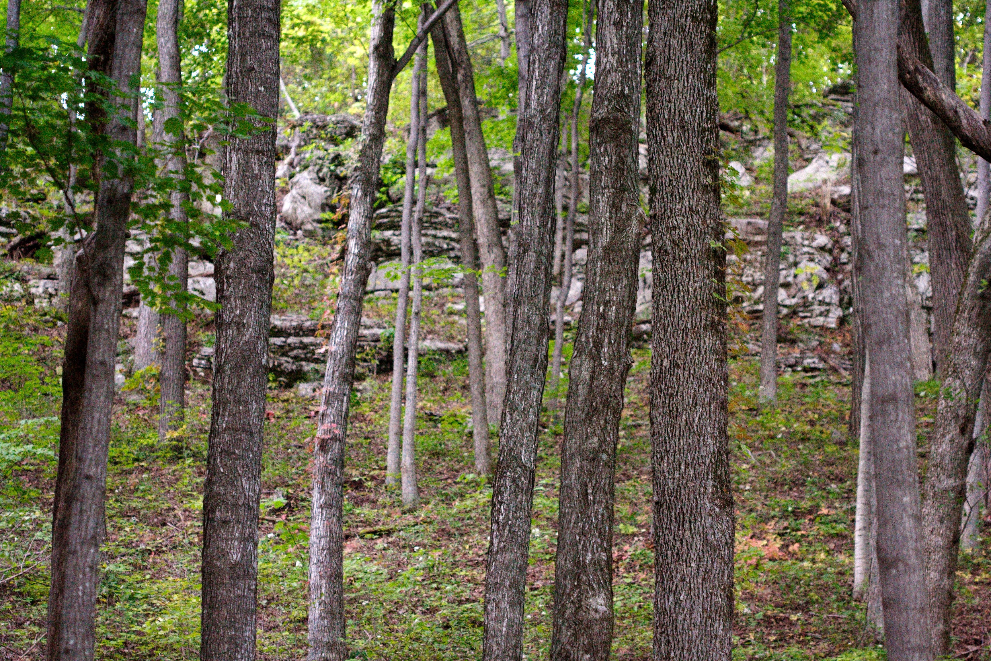
West Pinnacle forest trail. Berea , KY
Something a little different.......
Foggy sunrise view from Eagle's Nest on Indian Fort Mountain in Berea, KY
Berea Pinnacles

Church from my point of view :) Hope everyone is have a great morning.

Stanger 48-3
Bliss and ReUnion
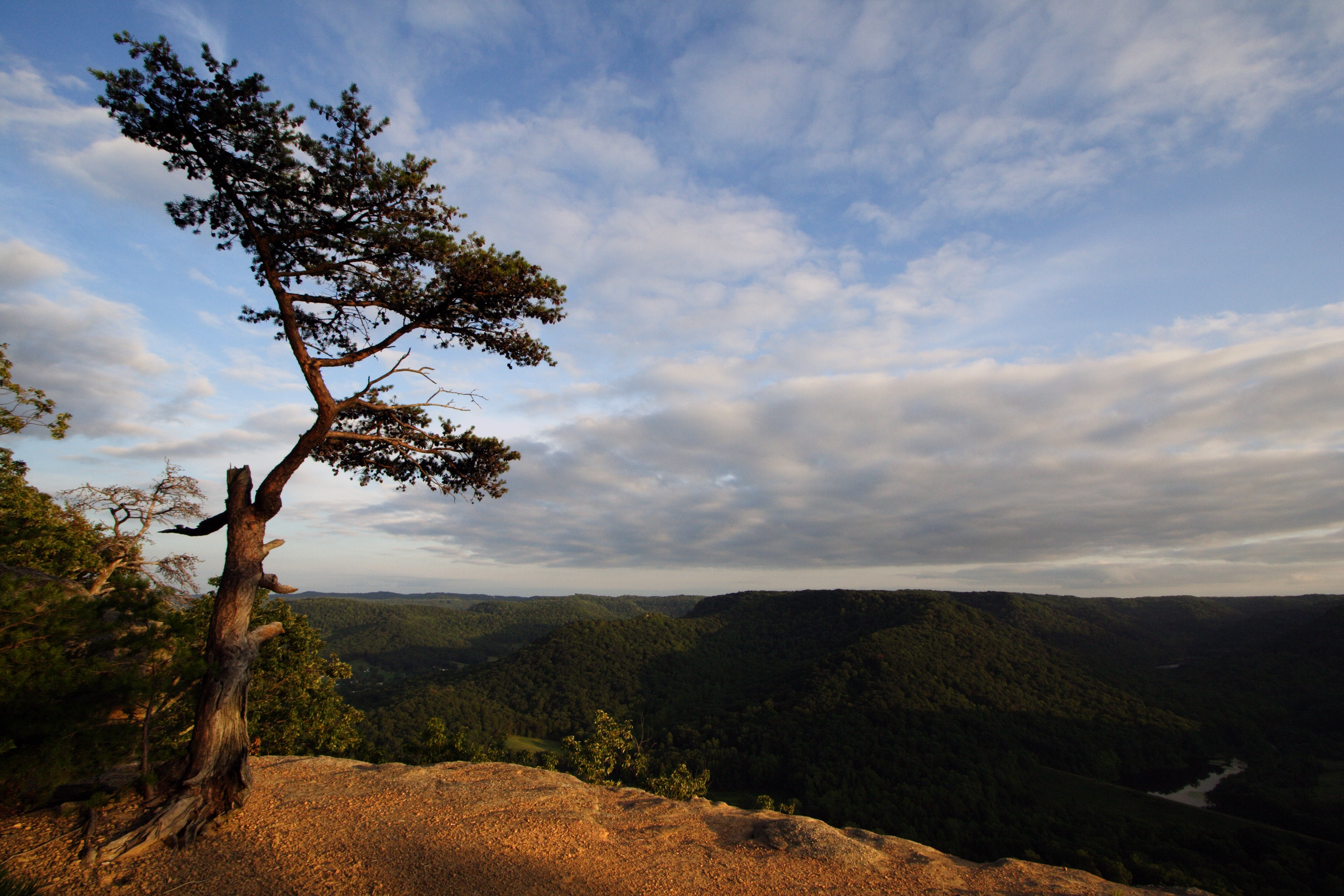
Lonely Pine on Indian Fort Mountain
And the Forest Will Echo With Laughter
IMG_5423.JPG

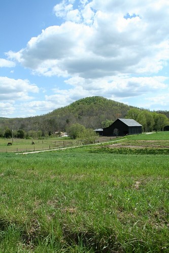
The view out of my office Window this morning. Roads were not great at 7am, but I imagine by now they are better.
IMG_5422.JPG
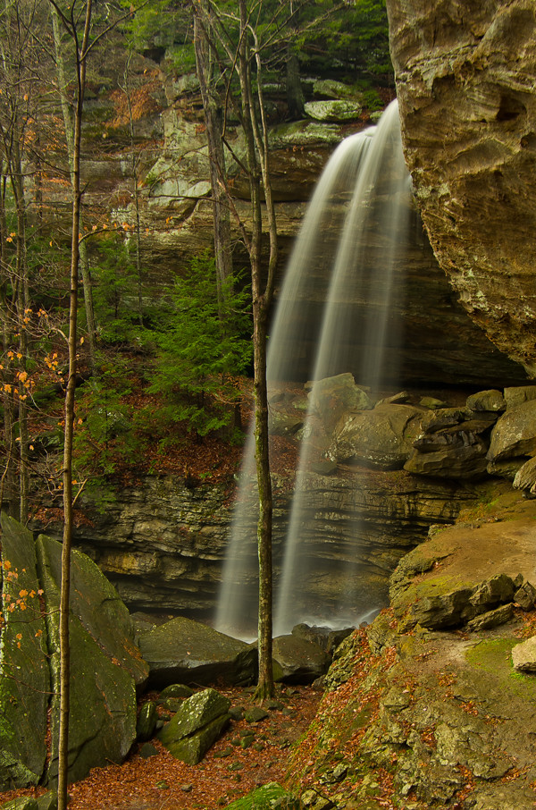
Anglin Falls near Berea, KY
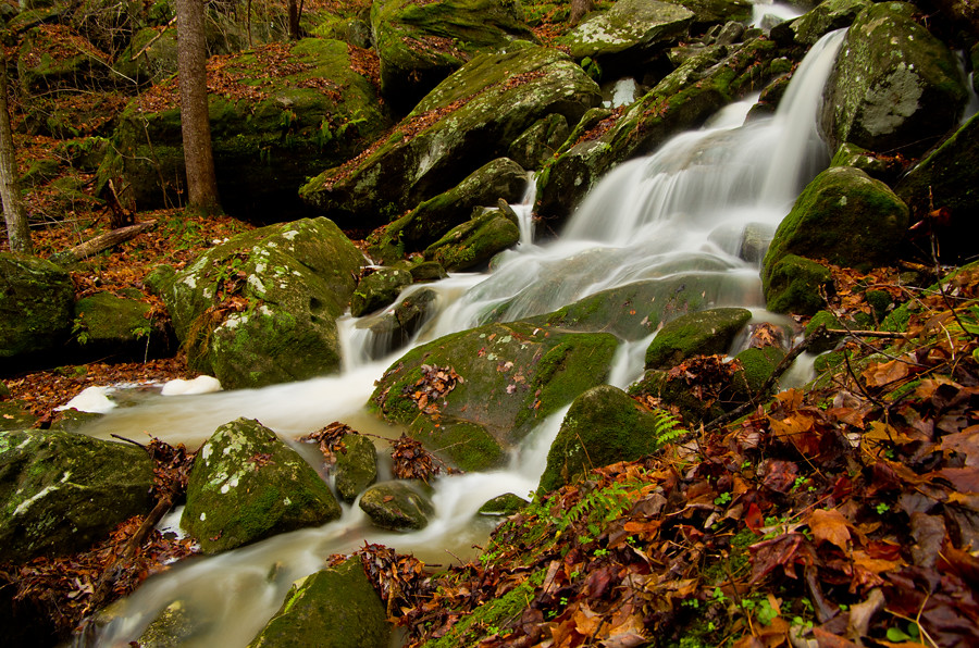
Anglin Creek below the falls.
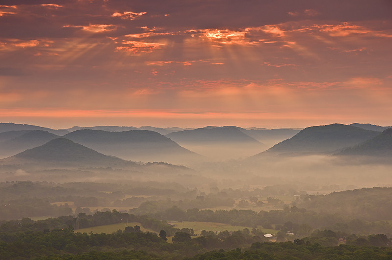
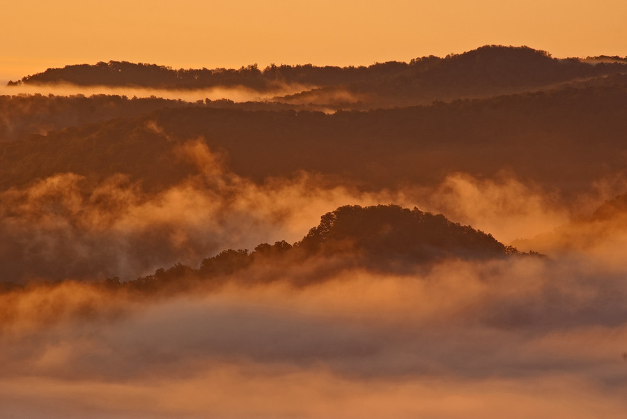
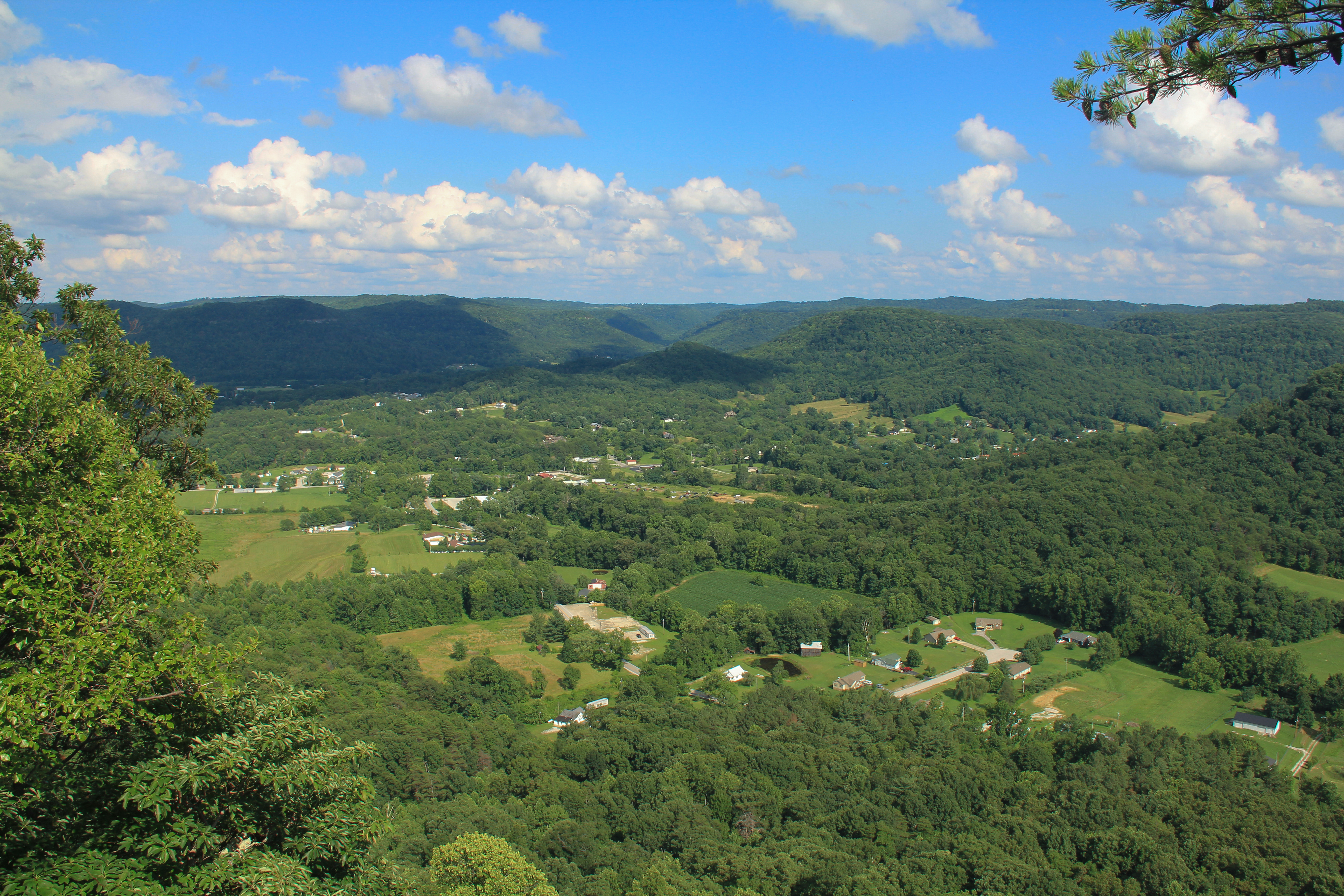
Sunrise over the Eastern Kentucky hills.
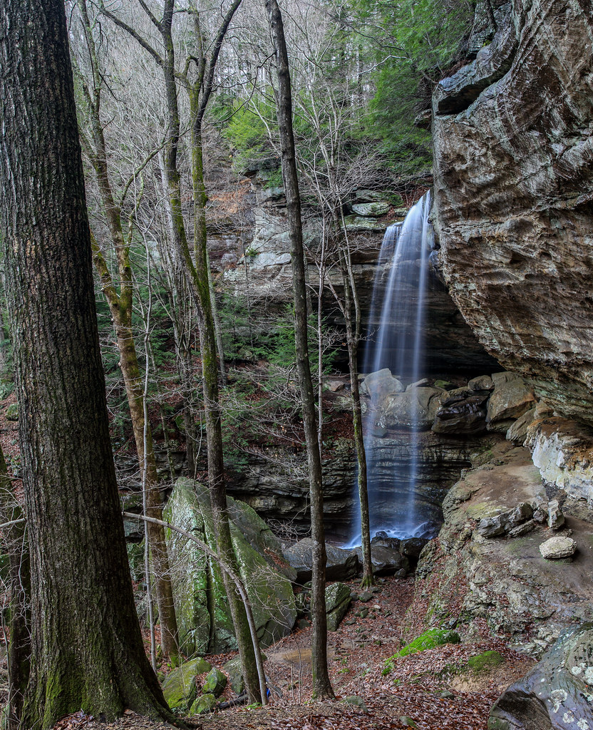
Anglin Falls

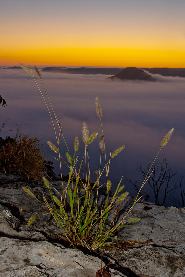
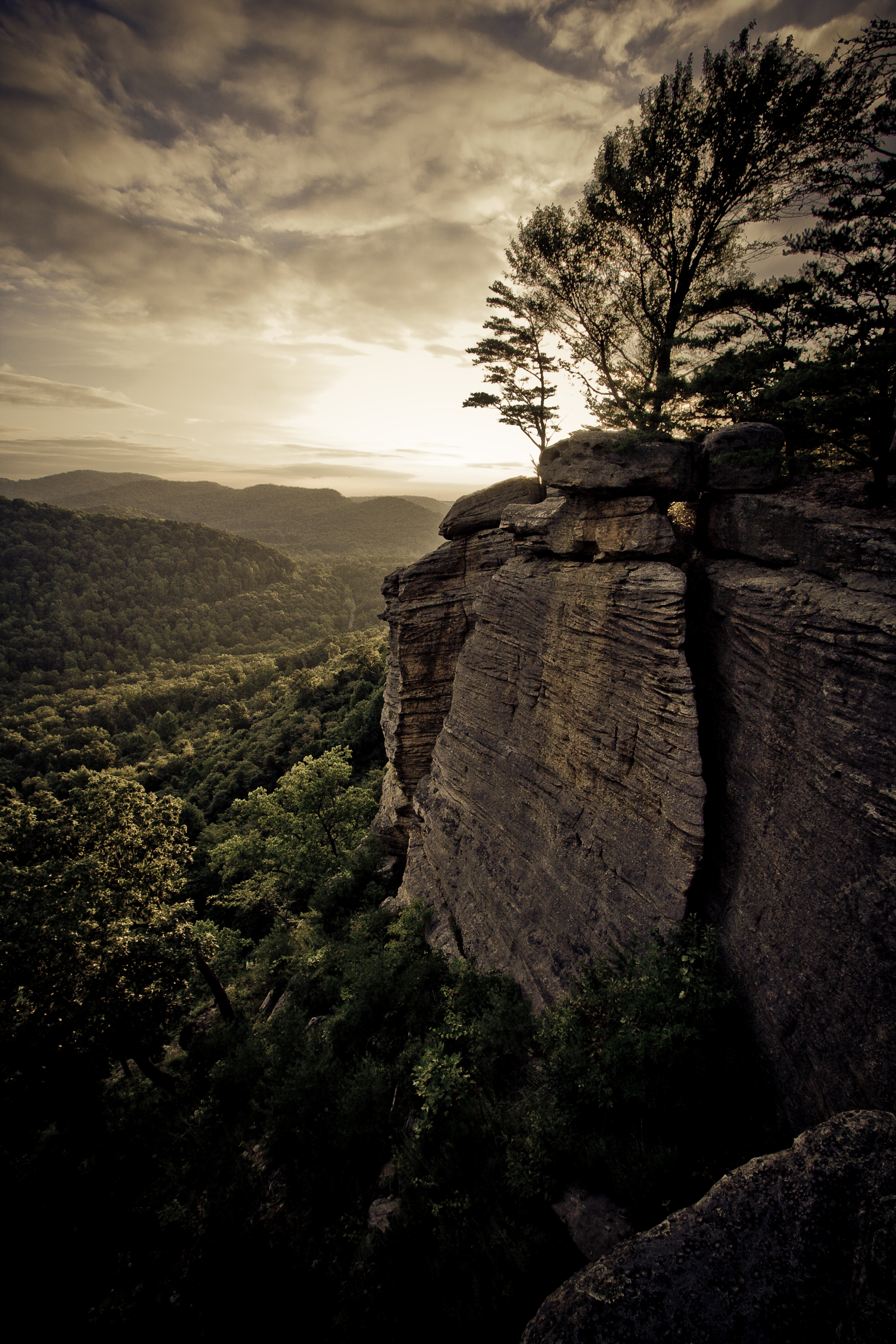
From Indian Fort Mountain at Eagle's Nest.
Topographic Map of - Coal Rd, McKee, KY, USA
Find elevation by address:

Places near - Coal Rd, McKee, KY, USA:
Climax Brushcreek Road
Climax Brushcreek Road
Climax Brushcreek Road
Climax Brushcreek Road
Indian Fort Mountain
20 Harrison Rd
2392 Davis Branch Rd
2392 Davis Branch Rd
560 Ashley Ct
501 Oak Grove Ct
The Pinnacle
Sandgap
336 Ridgeview Dr
Ridgeview Drive
Chestnut St, Berea, KY, USA
Berea
414 Chestnut St
1 Pirate Pkwy
104 Henry Dr
824 S Dogwood Dr
Recent Searches:
- Elevation of Corso Fratelli Cairoli, 35, Macerata MC, Italy
- Elevation of Tallevast Rd, Sarasota, FL, USA
- Elevation of 4th St E, Sonoma, CA, USA
- Elevation of Black Hollow Rd, Pennsdale, PA, USA
- Elevation of Oakland Ave, Williamsport, PA, USA
- Elevation of Pedrógão Grande, Portugal
- Elevation of Klee Dr, Martinsburg, WV, USA
- Elevation of Via Roma, Pieranica CR, Italy
- Elevation of Tavkvetili Mountain, Georgia
- Elevation of Hartfords Bluff Cir, Mt Pleasant, SC, USA